
Sierra de Bernia
Hiking trailThe Sierra de Bernia is a dramatic limestone ridge dividing the Marina Alta from the Marina Baixa — famous for El Forat, a natural tunnel bored clean through the rock, and a ruined Renaissance fort, with views to two coasts.
Why hike the Sierra de Bernia
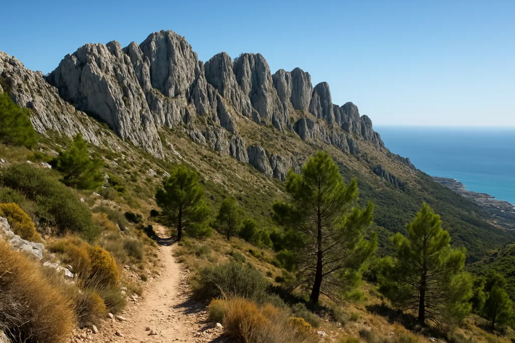
The classic circular walk around Bernia is one of the finest on the Costa Blanca: not too long, hugely varied, and crowned by the squeeze through El Forat — a tunnel bored clean through the ridge that you crawl through to emerge on the far side. The route also passes the 16th-century Fort of Bernia and opens to wide views over Calpe, Altea and the sea.
El Forat
A natural tunnel bored through the rock ridge — a short crawl on hands and knees that emerges to a sudden coastal panorama on the other side.
The Fort of Bernia
The ruins of a 1560s fortress built to watch the coast, set on a saddle below the main ridge and reached directly on the loop.
The circular trail
A roughly 8 km loop around the massif, varied and well marked, taking around 3 to 4 hours at a steady pace.
The ridge top
The Bernia crest reaches 1128 m; a steep optional scramble off the loop rewards with the widest views of all.
Two coasts
From the south side, Calpe and the Peñón de Ifach; from the north, the Marina Alta and the open sea.
Pine and scrub
Aleppo pine, rosemary and thyme scent the path, with raptors riding the thermals overhead.
Practical information
- Getting there: about 1 hour by car from Alicante airport (ALC) to the trailheads near Bernia; small parking areas at the Casas de Bernia and on the Pinos / Altea side.
- The walk: sturdy footwear, plenty of water and a torch for the dark squeeze through El Forat are essential; the loop is moderate, roughly 8 km and 3 to 4 hours.
- Best time to visit: spring and autumn for comfortable temperatures; avoid the midday summer heat, as much of the route is exposed.
- Don’t miss: the crawl through El Forat and a long lunch at one of the rustic restaurants near the trailhead.
Find Sierra de Bernia on the map
Place type
Area · next level
 Marina Alta
Sierra de Bernia
A craggy limestone ridge between Altea and Calp, famous for a circular hike that passes through a tunnel bored clean through the mountain, with views to both coasts.
Nearby
Places worth knowing
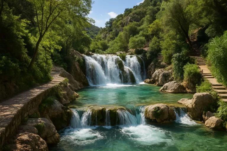 Marina BaixaAlgar Waterfalls (Les Fonts de l’Algar)A chain of waterfalls and natural pools in the hills above Callosa d’en Sarrià, with a riverside walking route and cool, swimmable…Read more →
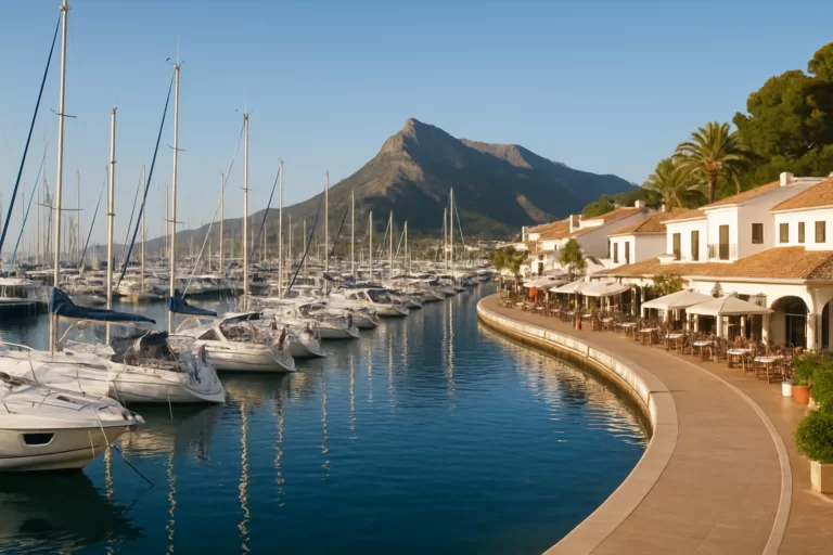 Marina BaixaMarina Greenwich (Altea)A striking marina at Altea-Campomanes sitting almost exactly on the Greenwich meridian, where east meets west, with berths, restaurants…Read more →
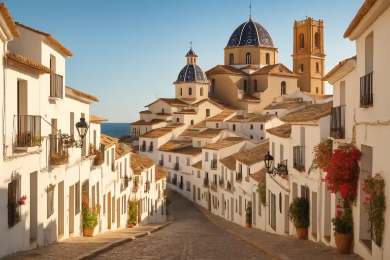 Marina BaixaAlteaAltea’s whitewashed old town climbs to the blue-domed church of Nuestra Señora del Consuelo, above a pebble seafront of galleries…Read more →
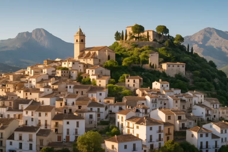 Marina BaixaPolop de la MarinaA pretty hillside village inland from Benidorm, known for its fountain of many spouts and a hilltop viewpoint with wide views to the sea.Read more →
This place is part of our Costa Blanca Guide: Benidorm, Calpe, Altea and the Best of Alicante — see every town, beach and cove we have mapped on that coast.
How this page is maintained. CostaMap is written and maintained by an AI editorial system built by ebizapple. Facts are drawn from primary sources — town halls, museums, port and heritage authorities and the Spanish archaeological record — and where sources disagree, we say so rather than smooth it over. Photographs marked as ours are taken on location. This page was last reviewed on 10 August 2026. Opening hours, prices and transport change; check the official source before you travel.