Montgó
Hiking trailMontgó is the “sleeping elephant” of the northern Costa Blanca — a 753-metre limestone massif rising sheer between Dénia and Xàbia, the dramatic last spur of the Cordillera Prebética and the heart of its own natural park.
Why hike Montgó
Looming between the bays of Dénia and Xàbia, Montgó is the undisputed king of the Costa Blanca skyline — known affectionately as the “sleeping elephant” for the head-and-trunk silhouette it shows from the Xàbia side. Declared a natural park in 1987, its rugged limestone slopes shelter more than 650 plant species and rare wildlife such as Bonelli’s eagle. The classic summit route climbs steeply to a hands-on scramble along the ridge, ending at the 753-metre cross where on a clear day the view reaches from Calpe’s Peñón de Ifach to the island of Ibiza.
The Creu de Xàbia
The 753 m summit cross. The final stretch is an airy scramble along the ridge — not for vertigo sufferers — rewarded by a 360° panorama from Cullera to Calpe, with Ibiza often on the horizon.
The PR-CV 355
The classic summit trail, yellow-and-white waymarked, from the Dénia shooting-range car park: a gentle start, then a steep zig-zag up the rock face. Around 3–4 hours round trip.
Cova de l’Aigua
On the shadier Dénia side, reached from the Pare Pere hermitage — a historic water-collection cave bearing a Roman inscription dated to the year 238.
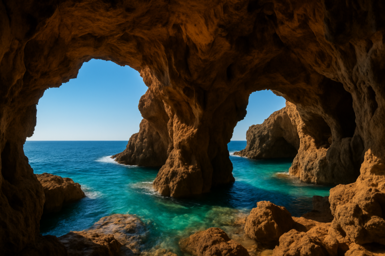
Cova Ampla
The “Wide Cave”: a huge natural window in the rock face that frames the coast below, reached on a marked fork off the summit path.
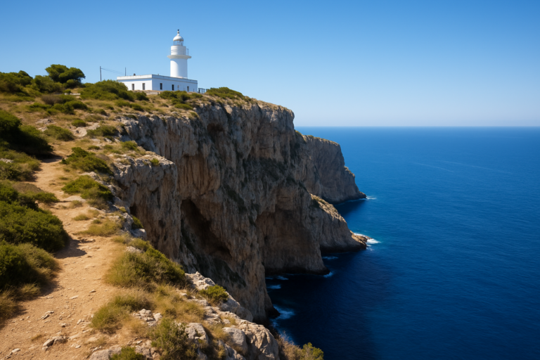
Cap de Sant Antoni
The massif’s sea-end headland, with a lighthouse, the restored windmills of La Plana de Sant Jeroni and cliffs above a protected marine reserve.
A living museum
Over 650 plant species, more than 80 of them rare or endemic — including the Carduncellus dianius, found only here and in the mountains of Ibiza — plus Bonelli’s eagle riding the thermals.
On the map
Practical information
- Getting there: about 1 hour 15 by car from Alicante airport (ALC) and only around 10 minutes from Dénia or Xàbia; free parking at the Dénia shooting range for the summit route and at the Pare Pere hermitage for the Cova de l’Aigua.
- The walk: the summit climb on the PR-CV 355 is roughly 3–4 hours round trip with a steep final scramble; gentler options include the Cova de l’Aigua circuit (~5.4 km, ~3 hours) and the windmill walk from Cap de Sant Antoni. Sturdy boots and plenty of water are essential, as there is no shade or refuge high on the mountain.
- Best time to visit: spring and autumn; avoid the midday summer heat, and never climb in thunderstorms, fog or extreme heat, as there is nowhere to shelter.
- Don’t miss: the elephant silhouette seen from the Xàbia side at sunset, and the Roman inscription inside the Cova de l’Aigua.
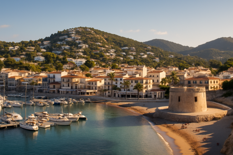
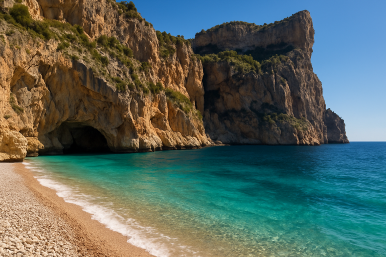
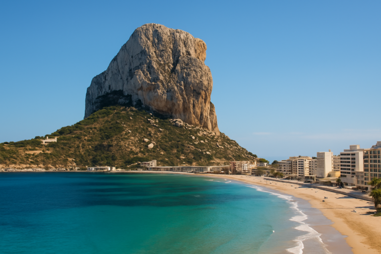
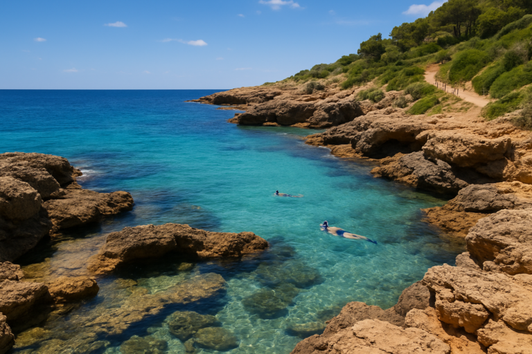
Explore more of the Costa Blanca
Montgó is one of many destinations on the CostaMap interactive map — browse beaches, villages, castles and viewpoints across the whole coast.
Open the map →