
Alicante’s coast · Valencian Community, Spain
Costa Blanca, Spain: towns, beaches and where to stay
Coves under cliffs in the north, long sandy beaches and pink salt lakes in the south, and Tabarca between them.
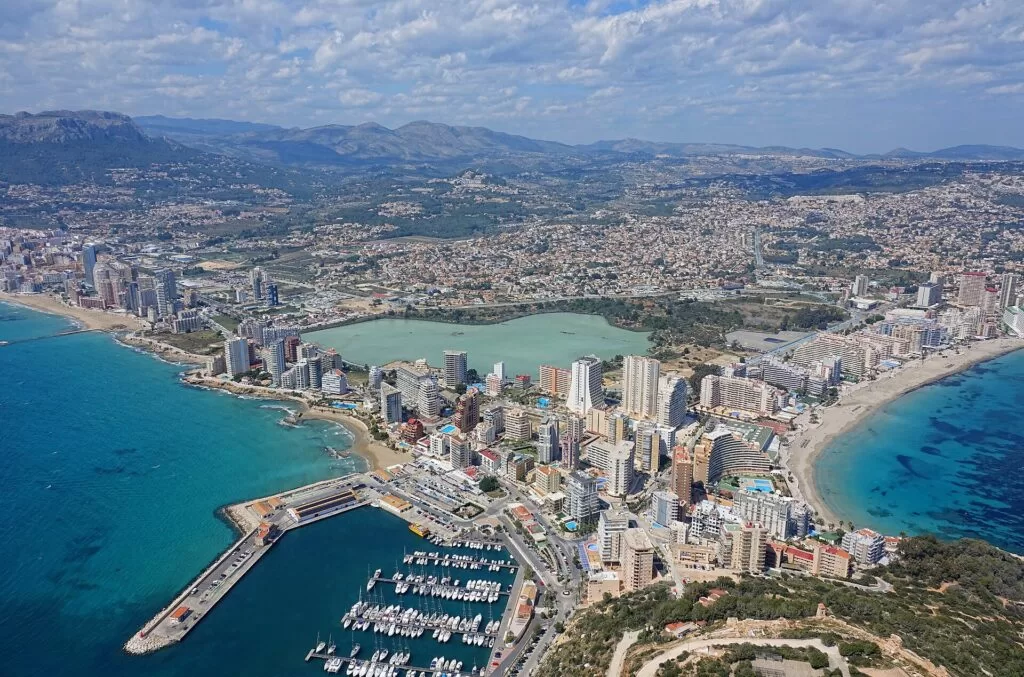
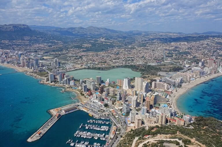
Calp · Photo: Bjørn Christian Tørrissen, CC BY-SA 4.0
The Costa Blanca is the coast of Alicante province in the Valencian Community: more than 200 km of shoreline and, by the tourist board’s count, more than 170 beaches and coves. North of Alicante, in the Marina Alta, the mountains reach the sea in cliffs and coves around Dénia, Xàbia and Calp. South of the city the land flattens into long sandy beaches, the dunes of Guardamar and the salt lagoons of Torrevieja. Alicante–Elche airport is 9 km from Alicante and about 47 km from Benidorm in a straight line.
At a glance
- Where the coast of Alicante province, Valencian Community, from the Marina Alta in the north to the Vega Baja in the south.
- Length more than 200 km of coastline and more than 170 beaches and coves (tourist board figures).
- Four areas Marina Alta, Marina Baixa, L’Alacantí, and the south (Baix Vinalopó and Vega Baja).
- On CostaMap 28 coastal town guides, 30 places on the coast and 10 campsites on the coast (one inland).
- Airport Alicante–Elche (ALC), 9 km from Alicante and about 47 km from Benidorm in a straight line.
- Sunshine about 2,851 hours a year at Alicante; July is the driest month (AEMET, 1981–2010).
Map of the Costa Blanca
The map shows the places on this coast that have a CostaMap page. Tick a place type or an area to filter it, and click a marker to open the page. The full-screen version, with every layer, is the Costa Blanca map; each of the four areas below also has its own map.
Place type
Area · next level
 Coast guide
Costa Blanca
Click a marker to see the place here. Four areas from Dénia to Pilar de la Horadada, with Guadalest and Elche inland.
Choose your areaOpen the full Costa Blanca map →
Choose your area
North and south are two different coasts, and the line runs roughly through Alicante. In the Marina Alta the mountains meet the shore in cliffs and coves; south of Alicante, down to Pilar de la Horadada, the coves give way to sand and dune belts (Costa Blanca tourist board). The four areas below follow the coastal comarcas from north to south; only towns on or near the coast are listed.
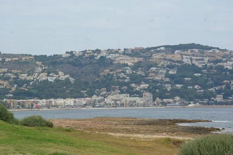
Marina Alta: Dénia to Calp
Here the mountains reach the shore: cliffs and coves around the 753 m Montgó between Dénia and Xàbia, then the 332 m rock of the Penyal d’Ifac at Calp.
- Dénia – the ferry port for Ibiza, Formentera and Palma, under a castle of Islamic origin; the rocky coves of Les Rotes to the south suit snorkelling. Castle guide: Dénia Castle.
- Jávea (Xàbia) – the easternmost town of the Marina Alta, between Cap de Sant Antoni (167 m) and Cap de la Nau, with the fine, shallow sand of El Arenal. Place page: Xàbia.
- Cala Granadella – a cove south of Xàbia that holds the Blue Flag every year, inside a forest park of nearly 700 ha.
- Moraira – the coastal village of Teulada, with a historic fortress and 8 km of Blue Flag beaches and coves such as L’Andragó and Llebeig.
- Benissa – a medieval old town set back from the sea, with small sand-and-rock coves such as El Pinets on its own stretch of coast.
- Calp (Calpe) – the town under the Penyal d’Ifac, with a salt lake for water birds and 13th-century wall remains; the rock has its own guide: Peñón de Ifach.
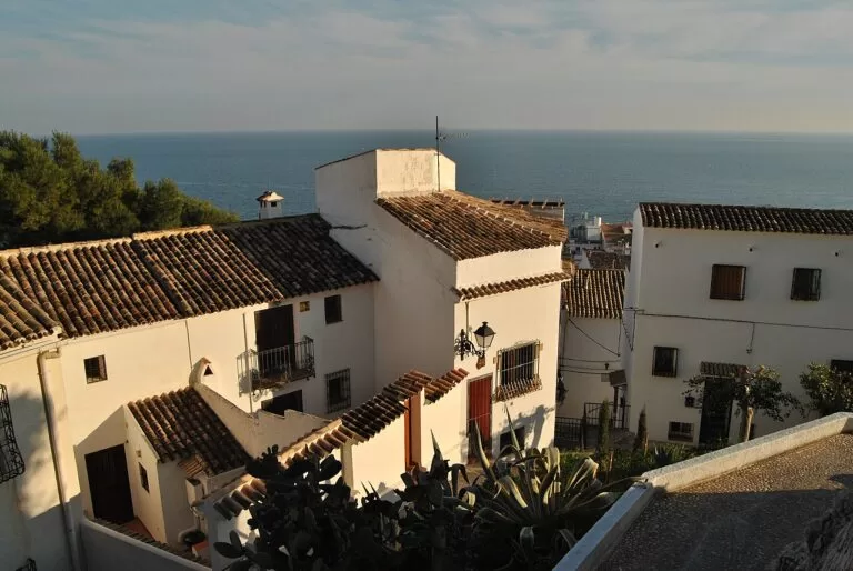
Marina Baixa: Altea to Villajoyosa
The bays of Altea and Benidorm, split by the cliffs of Serra Gelada, with Puig Campana (about 1,400 m) behind and Villajoyosa’s painted houses at the southern end.
- Altea – white houses and the blue-and-white tiled dome of Nuestra Señora del Consuelo in the walled old town.
- L’Alfàs del Pi – home of l’Albir, a half-kilometre Blue Flag pebble beach, and of an accessible path through Serra Gelada to the lighthouse.
- Benidorm – two Blue Flag beaches since 1987, Levante (2,084 m) and Poniente (over 3 km), with the Balcó del Mediterrani between them.
- Finestrat – an old town on the foundations of an Arab castle under Puig Campana, with its own small sandy bay at La Cala.
- Polop – a village that grew up around its castle; the Plaça dels Xorros has 221 water spouts.
- La Nucia – a hill town close to the Guadalest valley, Altea and Benidorm, for a quieter base with a car.
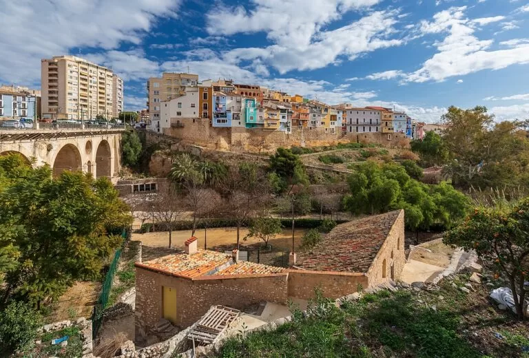
- Villajoyosa – brightly painted fishermen’s houses on the seafront, a listed old town and the Valencian Museum of Chocolate.
Full guide to Marina Baixa: Altea, Benidorm and Villajoyosa →
L’Alacantí: Alicante and Tabarca
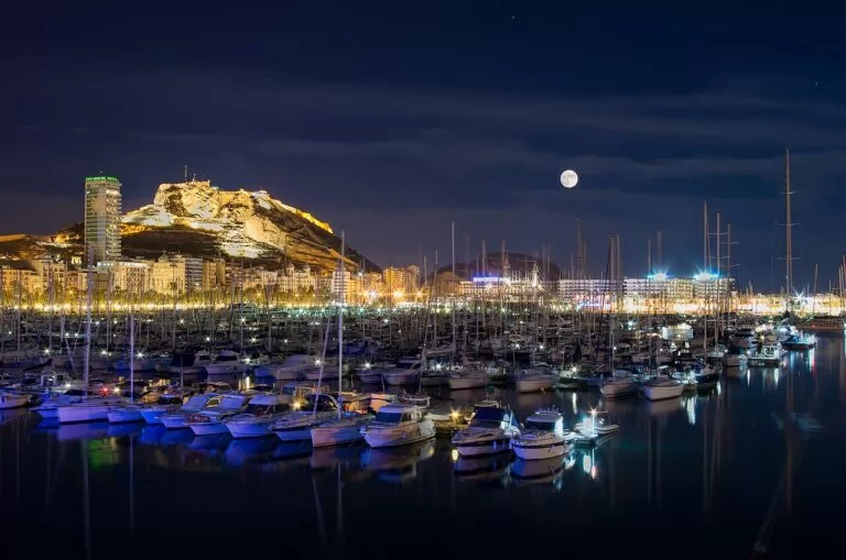
The provincial capital and its neighbours: a castle above the city beach, Roman Lucentum, 2.9 km of sand at San Juan and boats to Tabarca, the only inhabited island of the Valencian Community.
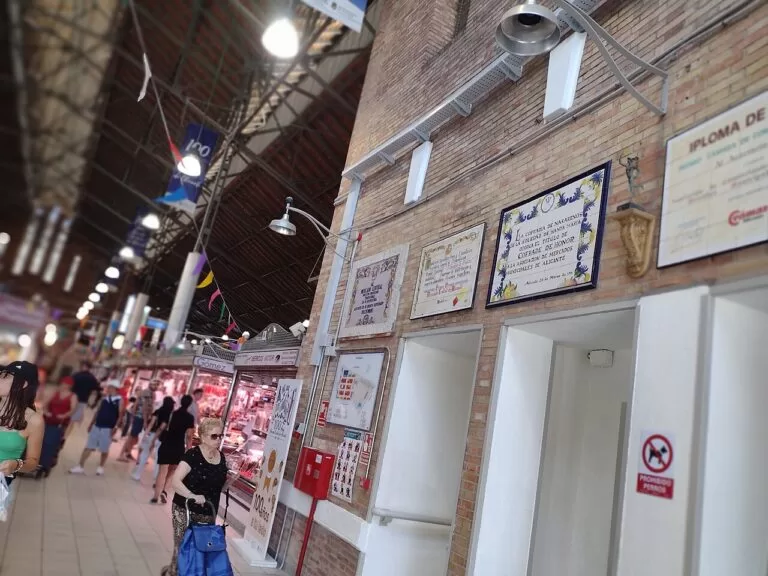
- Alicante – Santa Bárbara Castle on Mount Benacantil, reached by lift from Postiguet beach, and a Mercado Central that opened in 1922.
- El Campello – La Illeta dels Banyets, a former peninsula with Bronze Age, Iberian and Roman remains, and its watchtower by the sea.
- Sant Joan d’Alacant – 16th- and 17th-century lookout towers built against pirate raids, a short way inland from San Juan beach.
- Mutxamel – Casa Ferraz with its defensive tower, and a Moors and Christians festival of Tourist Interest.
- San Vicente del Raspeig – a town next to Alicante city, about 7 km from the sea in a straight line; a base for the city rather than the beach.
- Tabarca – Spain’s first marine reserve (1986), an island 1,800 m long; boats from Alicante take about an hour, and Santa Pola’s run all year.
The south: Santa Pola to Pilar de la Horadada
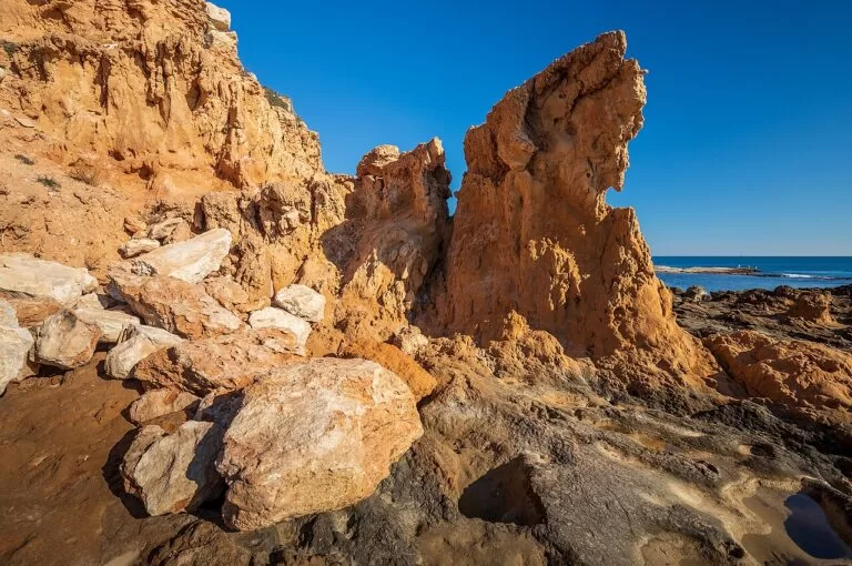
South of Alicante the coves give way to long sandy beaches, the dune belt of Guardamar and the salt pans of Santa Pola and Torrevieja, where flamingos feed.
- Santa Pola – a castle-fortress of 1557, a lighthouse 152 m above the sea on the cape, the salt pans and boats to Tabarca all year.
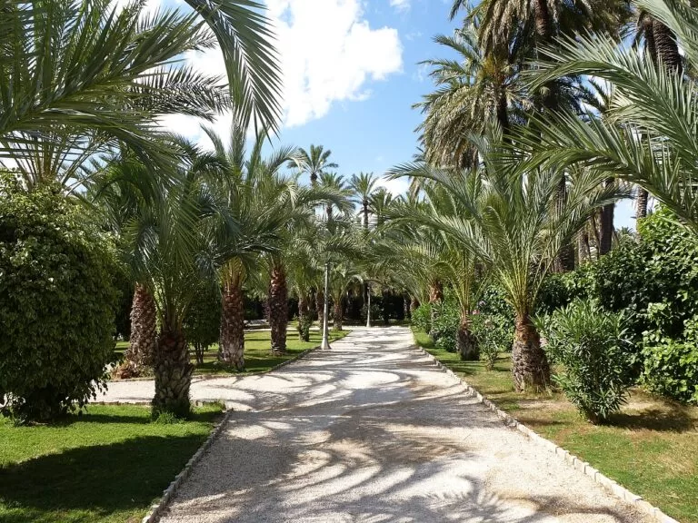
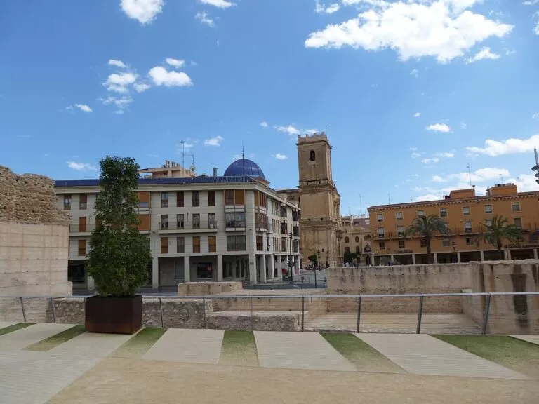
- Elche – the Palmeral, a World Heritage Site since 2000 with more than 200,000 palms, and the sung Misteri d’Elx on 14 and 15 August; the palm grove has its own page: Elche (Palmeral).
- Guardamar del Segura – 11 km of beaches backed by 800 ha of pines planted on the dunes from 1900 to stop them advancing.
- Torrevieja – Blue Flag beaches at Los Locos and La Mata (about 2.4 km) beside the pink lagoon; more in our Pink Lake guide.
- Rojales – cave dwellings cut into the rock at the Cuevas del Rodeo, and 16th- to 18th-century waterworks with a weir and waterwheel.
- Almoradí – a Vega Baja town with the late 16th-century Alfeitamí weir and the 19th-century church of San Andrés.
- Pilar de la Horadada – about 5 km of fine-sand beaches and coves at the southern end, and the 16th-century Torre Horadada watchtower.
Full guide to The south: Santa Pola, Torrevieja and Orihuela Costa →
Inland day trips
These places are inland, so they are not in the lists above. Ten that combine well with the coast:
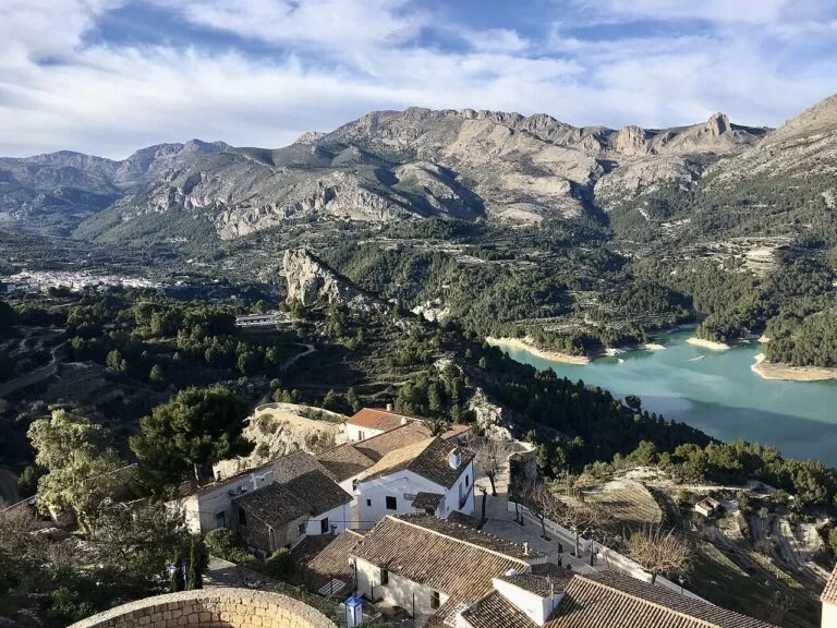
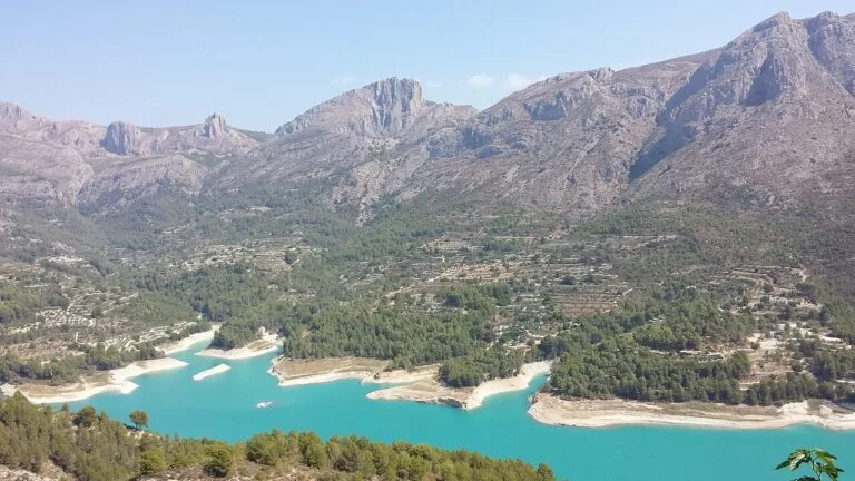
- Guadalest – a walled village on a sheer rock with 11th-century castle ruins and a reservoir below.
- Palmeral of Elche – the World Heritage palm groves, laid out towards the end of the 10th century.
- El Hondo Natural Park – a 2,387 ha wetland where 172 bird species have been recorded.
- Orihuela – a cathedral with Gothic and Renaissance parts, the Santo Domingo convent and the Miguel Hernández house-museum.
- Novelda – a modernist sanctuary beside an Islamic castle on the Mola hill, a half-day trip by train from Alicante.
- Petrer – a restored castle above an old town with houses dug into the hillside, in the Vinalopó valley next to Elda.
- Villena – the 12th-century Atalaya Castle, about 46 km from the coast.
- Cocentaina – the Palau Comtal and a hilltop castle in the Comtat valley, roughly 30 km from the sea.
- Elda – a shoe-making town with a footwear museum, an Almohad castle and big Moors and Christians fiestas, next to Petrer.
- Callosa de Segura – walks and a via ferrata on the Sierra de Callosa and a small hemp museum, on the Segura plain in the Vega Baja.
Explore by interest
Six ways into the coast. Each tile opens the part of this guide that covers it.
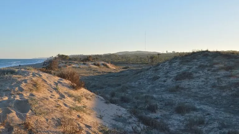
Best beaches and coves
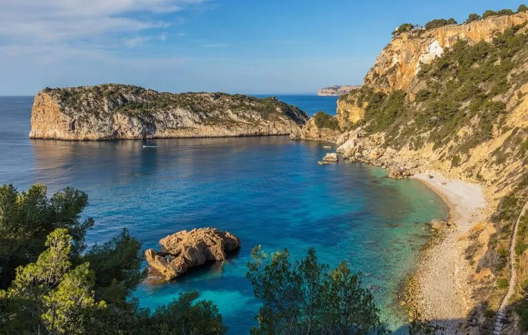
The selection below is ours, ordered from north to south: three coves on the rocky north coast, the big town beaches in the middle, and dunes and capes in the south. Lengths and Blue Flags are from the town tourist offices.
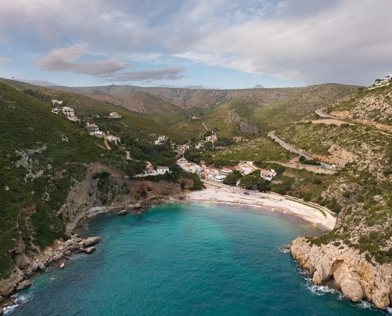
Cala Granadella
A cove that holds the Blue Flag every year, inside a forest park of nearly 700 ha south of Xàbia (Xàbia Tourism). Our guide: Cala Granadella.
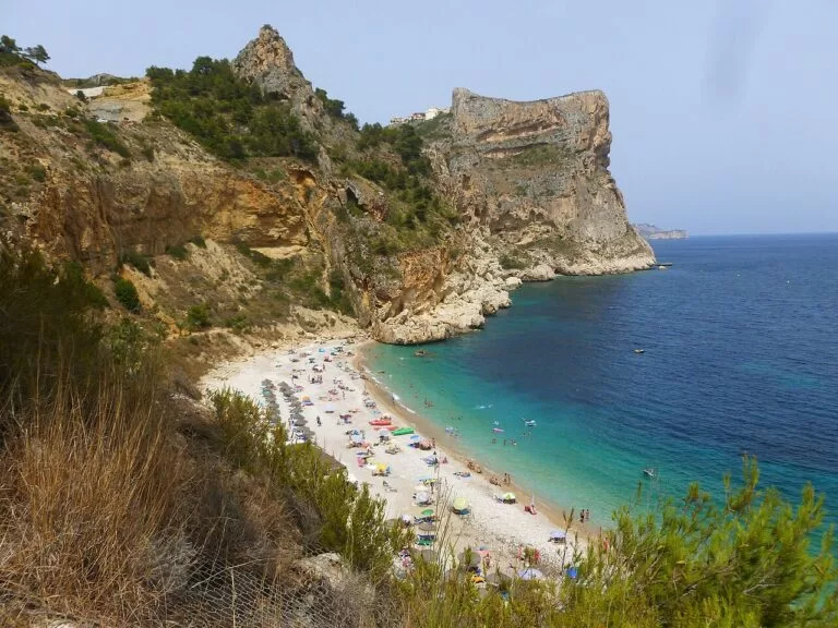
Cala del Moraig
A small gravel cove with clear water at the foot of the Puig de la Llorença; the Cova dels Arcs sea cave is here (MACMA). Our guide: Cala del Moraig.
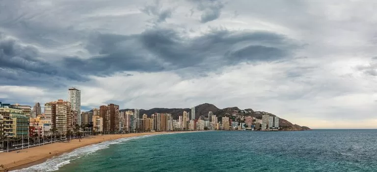
Levante, Benidorm
2,084 m long, between Punta Pinet and Punta Canfali, with the Blue Flag since 1987 (Visit Benidorm). Our guide: Levante Beach.
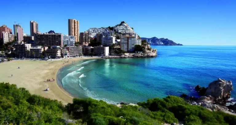
Cala de Finestrat
A small urban bay, 270 m long, of soft sand, with Puig Campana behind. Our guide: Cala de Finestrat.
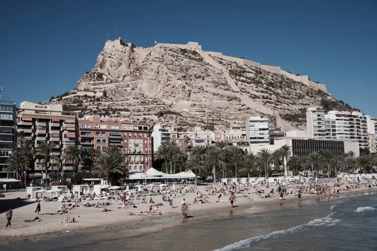
Postiguet, Alicante
900 m of golden fine sand under the castle, on the city’s 2026 Blue Flag list; San Juan, 2,900 m, is the long beach north of the city (Alicante Turismo). Our guide: Playa del Postiguet.
Caleta dels Gossets
A dog-friendly cove of about 257 m on the Cabo de Santa Pola; the Calas del Cuartel nearby are good for snorkelling. Our guide: Caleta dels Gossets.
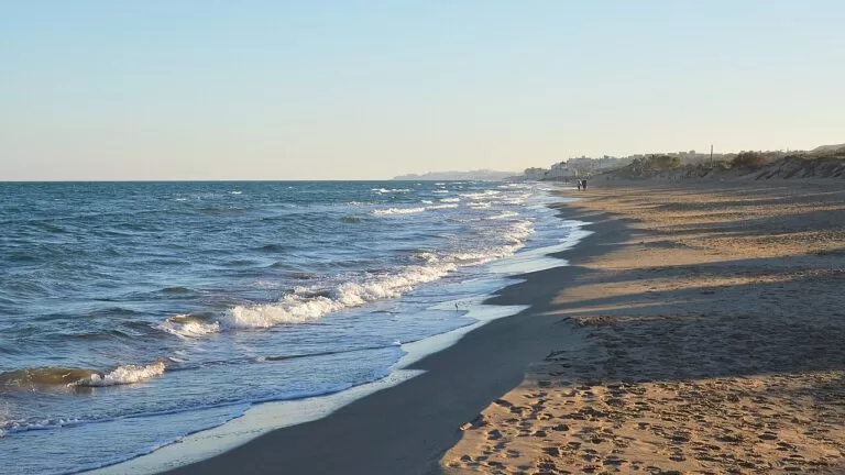
Guardamar del Segura
11 km of beaches below the pine dunes: La Roqueta (urban) and Els Vivers (natural) fly the Blue Flag, and Els Tossals, 1,661 m north of the river mouth, is a naturist beach (Guardamar Turismo).
One more cove with its own CostaMap page: Cala Les Rotes, south of Dénia, where a family sand beach gives way to rocky coves for snorkelling. North of Alicante, Cala del Barranc d’Aigües in El Campello is a natural pebble beach below a 1554 watchtower, with a dog area open all year and a TRAM stop about 0.8 km away.
Where to stay by town
What decides the base is the kind of beach, the tram and how far you want to drive.
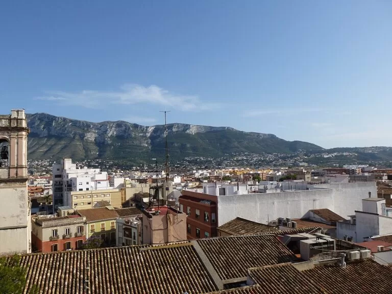
Dénia
Ferries to Ibiza, Formentera and Palma, the end of TRAM line 9 and a castle above the town.
Island hopping, no car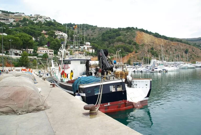
Jávea (Xàbia)
The fine, shallow sand of El Arenal in the middle of the bay, with a cape on each side.
Families, walkers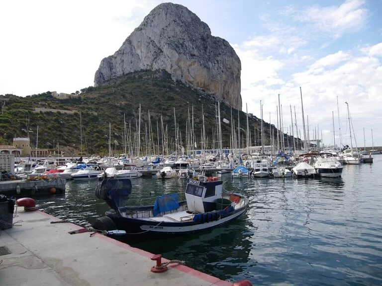
Calp (Calpe)
Under the Penyal d’Ifac, with a salt lake for water birds and an easy, flat path.
Hikers and birdwatchers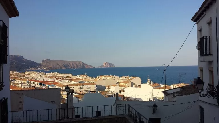
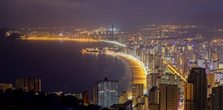
Benidorm
Two long Blue Flag beaches, and TRAM line 1 to Alicante in a little over an hour.
Beach holidays, no car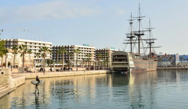
Alicante
9 km from the airport, with the castle, the MARQ museum, the market and boats to Tabarca.
City and beach, short stays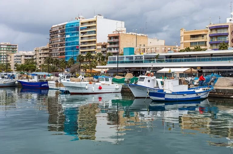
Santa Pola
The salt pans, the coves on the cape and boats to Tabarca all year.
Birdwatchers, island trips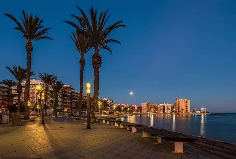
Torrevieja
Blue Flag town beaches and the pink lagoon; Murcia airport is about 43 km away in a straight line.
Long beach staysCampsites
Eleven campsites and camper stops on or near this coast have a CostaMap page, with pitches and opening dates as listed by our booking partner Campcation. Most are stopovers for motorhomes, and several close for part of the year, so check the season first.
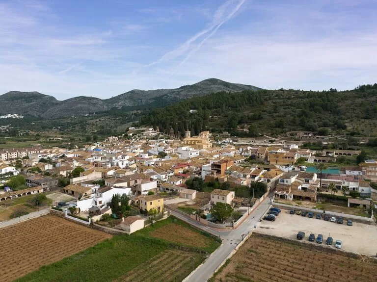
Xàbia, Xaló and Calp
- Wecamp Jávea – pitches, cottages and glamping in Xàbia, open all year.
- Camper Park Xaló – motorhome stopover in Xaló, inland, from 1 May to 30 September.
- Paraiso Camper – motorhome stopover in Calp, from 1 May to 31 August.
Benidorm, Altea and Algar
- Camping La Media Legua – caravan and motorhome pitches in Benidorm, open all year.
- Orange Grove Camper Park – motorhome stopover near Serra Gelada, open all year.
- Mediterráneo Camper Area – motorhome stopover about 7 km from Marina Greenwich, open all year.
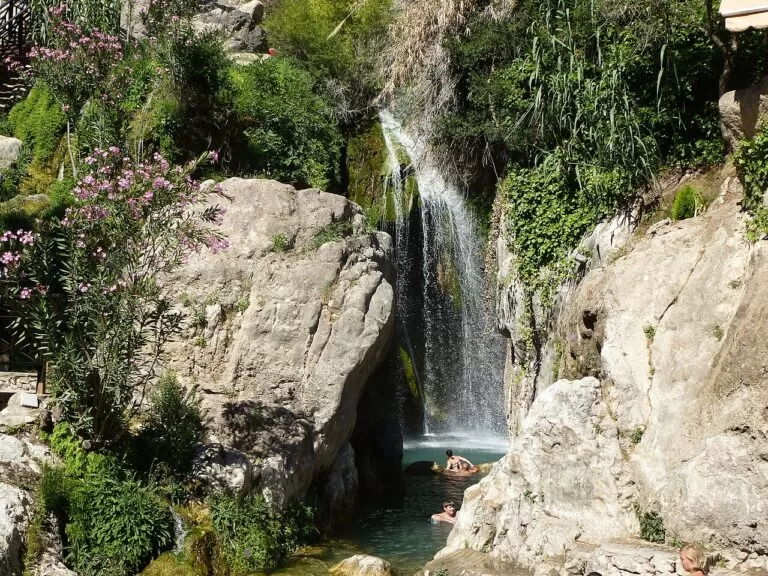
- Camping Fonts de l’Algar – motorhome stopover in Callosa d’en Sarrià, next to the Algar waterfalls.
El Campello
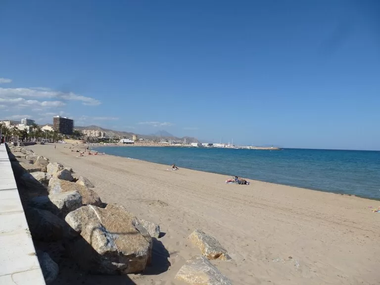
- Sunset Camper Área – caravan, motorhome and stopover pitches in El Campello, open all year.
Guardamar and the Vega Baja
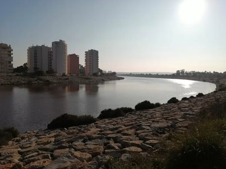
- Alannia Guardamar – cottages and caravan pitches in Guardamar del Segura, open all year.
- Dunas y Mar Camperpark – caravan and motorhome pitches in San Fulgencio, from 1 January to 31 July.
- Alannia Costa Blanca – cottages and pitches in Crevillent, inland beside the Hondo wetland reserve, open all year.
Things to do
Castles, Romans and a basilica
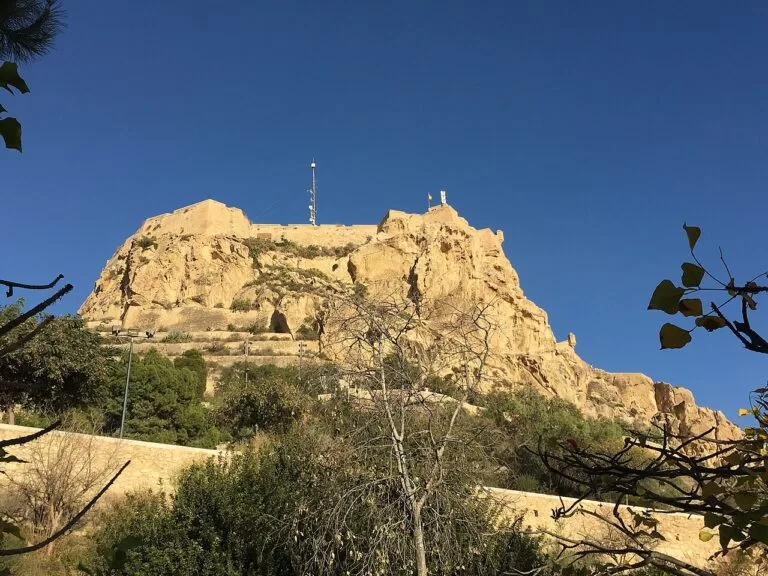
Alicante’s Santa Bárbara Castle on Mount Benacantil goes back to the Muslim era. Lifts leave from Avenida Juan Bautista Lafora, opposite Postiguet beach (€2.70), and the castle is closed on 24, 25 and 31 December, 1 and 6 January and 24 June (Alicante Turismo, checked Oct 2026). Dénia’s castle is of Islamic origin, with its first structures from the 11th–12th centuries; Benidorm’s Balcó del Mediterrani stands on the site of a 14th-century castle, and Tossal de la Cala is a Roman fort of the 2nd–1st century BC.
- Santa Bárbara Castle – lift from Postiguet, shuttle bus from Plaza Puerta del Mar.
- Benidorm Castle and the Balcó del Mediterrani – the viewpoint between the two beaches, looking out to Benidorm Island.
- Tossal de la Cala – a Roman fort of the 2nd–1st century BC in Benidorm.
- MARQ, Alicante – the archaeological museum, from prehistory to modern times; €6, or €8 with Lucentum, La Illeta and Torre Almudaina.
- Torre de la Illeta – the watchtower beside the Bronze Age and Roman site in El Campello.
- Basílica de Santa María, Elche – built 1672–1784, where the Misteri d’Elx has been performed since the 15th century.
Turrón, wine and the market
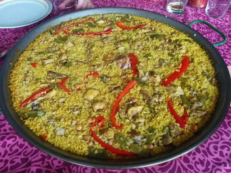
Jijona and Turrón de Alicante are protected geographical indications under one regulatory council, and written references to Jijona turrón go back to 1531 (Consejo Regulador Jijona y Turrón de Alicante). The Alicante wine designation dates from 1932 and calls its Fondillón unique in the world; Vinalopó table grapes ripen in paper bags on the vine for at least 60 days. Alicante’s Mercado Central, with Valencian Modernista decoration, opened in 1922.
- Madness Coffee – a café in Alicante with its own CostaMap page.
Rocks, capes and cliffs
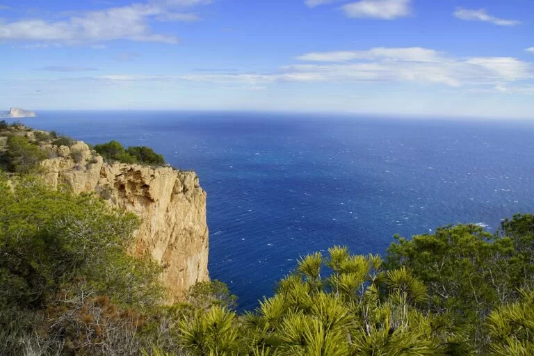
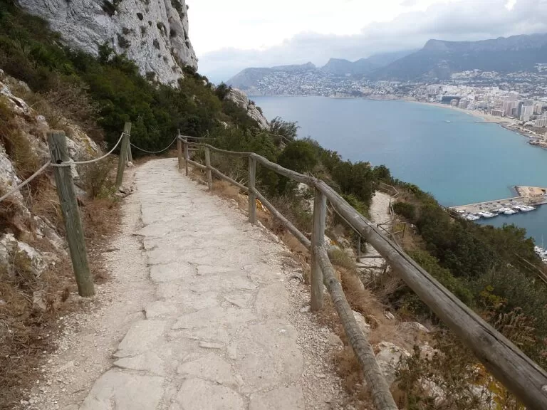
The Penyal d’Ifac rises 332 m from the sea in a natural park of just 53.3 ha, declared in 1987; climbing the Ruta Roja towards the summit needs an advance booking (Parques Naturales GVA). Montgó, 753 m, has been a natural park since 1987, and Serra Gelada, declared in 2005, protects 5,564 ha between the bays of Benidorm and Altea, 88 % of it at sea.
- Peñón de Ifach, Calp – the 332 m rock; book the summit path ahead.
- Montgó – the 753 m massif between Dénia and Xàbia.
- Cap de Sant Antoni and Cap de la Nau – the two capes of Xàbia, one of them over a marine reserve.
- Cova Tallada – the cave in the cliffs of Cap de Sant Antoni; access is regulated in 2026, so check the permitted dates first.
- Serra Gelada and the Faro del Albir – the accessible lighthouse path from l’Albir.
- Marina Greenwich, Altea – less than 6 km from Altea, and the only marina on the 0° meridian.
- Puig Campana, Sierra de Bernia and Barranc de l’Infern – mountain walks behind the coast.
- Algar Waterfalls – natural pools fed by waterfalls near Callosa d’en Sarrià.
- Canelobre Caves – a cave at 700 m on the Cabeçó d’Or, with a 70 m high vault.
Two islands
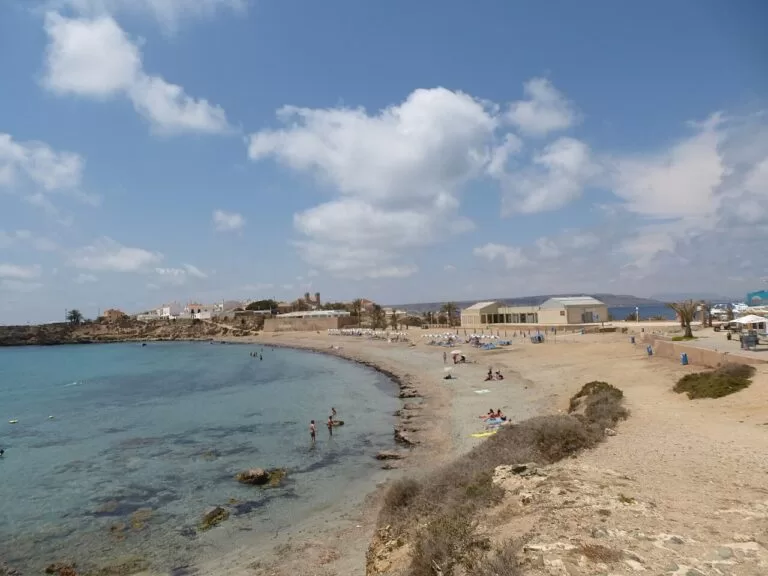
Tabarca, 1,800 m long and at most 400 m wide, is the only inhabited island of the Valencian Community. It became Spain’s first marine reserve by an order of 4 April 1986; the reserve covers 1,754 ha and recreational fishing is banned in all of it (Ajuntament d’Alacant). Boats run from Alicante (about an hour), from Santa Pola all year, and from Benidorm. Benidorm Island is the islet you see from the Balcó.
- Benidorm Island – the islet off Benidorm’s two beaches.
Flamingos on the salt pans
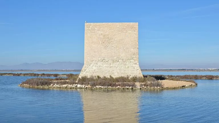
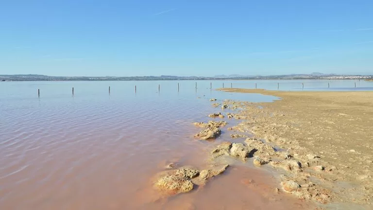
Up to 8,000 flamingos can be seen in the 2,470 ha Salinas de Santa Pola Natural Park, on the Ramsar list of wetlands since 1989. Torrevieja’s lagoon, 1,400 ha, is known as the Pink Lagoon: the microalga Dunaliella salina is one of the main causes of the colour. Bathing is prohibited, and the lagoon can only be visited on the tourist train (Turismo de Torrevieja).
- Salinas de Santa Pola – the N-332 crosses the park, with views of the wading birds.
- Terra Mítica – Benidorm’s theme park, for a day off the beach.
When to go
Average temperature and rainfall at AEMET’s Alicante station (81 m above sea level), climate normals for 1981–2010 (AEMET). One station cannot speak for 200 km of coast, so read it as a guide to the seasons.
July and August are the warmest and driest months, with average highs of 30.3 and 30.8 °C; September, with 56 mm, is the wettest. The year averages 18.3 °C, 311 mm of rain and about 2,851 hours of sunshine. From 1 June to 15 October the Generalitat’s high-risk wildfire period applies. Tabarca’s beach has lifeguards from 15 June to 15 September. We found no official sea-temperature series for this coast, so we give none.
Itineraries
Both plans use only places with their own CostaMap page, and the first three days need no car: TRAM lines 1 and 9 link Alicante, Benidorm and the towns up to Dénia.
Three days
Day 1
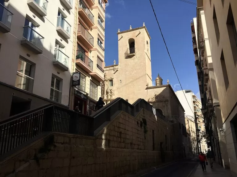
Alicante
Morning in Alicante: lifts up to Santa Bárbara Castle leave from Avenida Juan Bautista Lafora, opposite Postiguet beach, for €2.70; the last lift up runs 40 minutes before closing, and the castle is shut on 24, 25 and 31 December, 1 and 6 January and 24 June. After lunch, the MARQ, at the MARQ – Castillo tram stop, covers prehistory to the modern era for €6. End the day on the wave mosaic of the Explanada and the 900 m of Postiguet.
Day 2
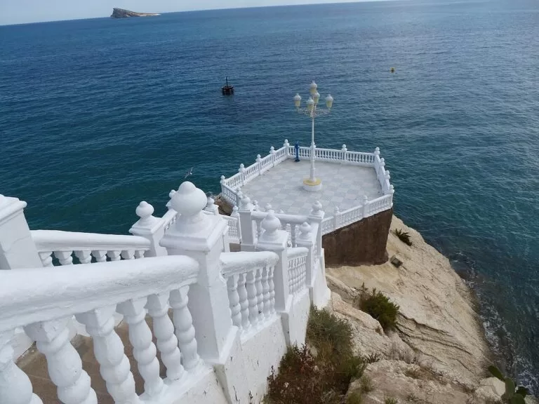
Benidorm
Take TRAM line 1 from Luceros to Benidorm, a little over an hour. Start at the Balcó del Mediterrani, a viewpoint on the site of a 14th-century castle that looks out to Benidorm Island. Spend the afternoon on Levante beach, 2,084 m long between Punta Pinet and Punta Canfali and a Blue Flag beach since 1987, and take a boat out to the island; or give the whole day to Terra Mítica instead.
Day 3
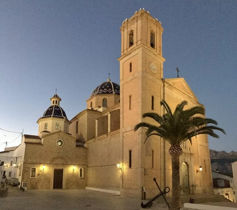
Altea and Calp
Morning in the old town of Altea, entered through the Portal Vell, one of the gates of its old walls; the church of Nuestra Señora del Consuelo has a dome of blue and white tiles. In the afternoon, continue to Calp for the Baños de la Reina, a Roman complex of seaside pools, and the flat, easy path around Las Salinas, a wetland for water birds. The Penyal d’Ifac rises 332 m above the sea; the Ruta Roja to the tunnel and summit needs a booking made in advance.
Seven days
Days 1–3: as above, based in Alicante or Benidorm on TRAM line 1.
Day 4
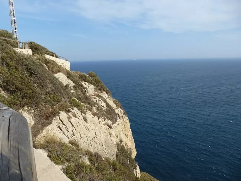
Xàbia and Dénia
Morning at Cap de la Nau, one of Xàbia’s official viewpoints, then down to Cala Granadella, a Blue Flag cove; the Granadella forest park covers nearly 700 ha. In the afternoon, continue to Dénia and visit Dénia Castle: of Islamic origin, with its first structures from the 11th–12th centuries, it overlooks the town, the 753 m Montgó and the Cap de Sant Antoni marine reserve. Finish at the port; Dénia’s TRAM station on Passeig del Saladar is on line 9 back to Benidorm.
Day 5
Guadalest and Algar
Drive inland in the morning to Guadalest: the walled old town, a listed Historic-Artistic Site, sits on a sheer rock above its reservoir, and the 11th-century San José Castle is reached through a natural tunnel in the rock. The village also has an ethnological museum. On the way back, spend the afternoon at the Algar waterfalls, natural pools fed by waterfalls, 15 km from Benidorm and 3 km from the centre of Callosa d’en Sarrià, and protected as a wetland since 2002.
Day 6
Elche and Santa Pola
Morning in the Palmeral of Elche, a UNESCO World Heritage Site since 2000 with more than 200,000 palm trees; its Huerto del Cura became a National Artistic Garden in 1943. Then the Basílica de Santa María, built 1672–1784, where the sung Misteri d’Elx is performed on 14 and 15 August. In the afternoon, drive to the Salinas de Santa Pola: the N-332 crosses the park from north to south with views of the wading birds, and up to 8,000 flamingos can be seen.
Day 7
Torrevieja
A slower last day in Torrevieja. In the morning, see the Pink Lake by the tourist train; the microalga Dunaliella salina is one of the main causes of its pinkish-red colour, and bathing in the lagoons is prohibited. The natural park covers 3,700 ha, and up to 2,000 flamingos gather at La Mata. Spend the afternoon on La Mata beach. Alicante airport, for the flight home, is about 36 km away in a straight line.
Getting there and around
By air
Alicante–Elche Miguel Hernández (ALC) is the coast’s airport: 9 km from Alicante, about 47 km from Benidorm and 85 km from Dénia in a straight line. Valencia (VLC) is about 88 km from Dénia, and Region of Murcia International (RMU), at Corvera, about 43 km from Torrevieja (coordinates from OurAirports). Road distances are longer: Dénia’s tourist office gives about 100 km to Alicante airport.
By tram
TRAM d’Alacant line 1 runs from Luceros in central Alicante to Benidorm in a little over an hour, and line 9 continues from Benidorm to Dénia, 17 stations, without a change of train since the Algar and Mascarat viaducts opened (TRAM d’Alacant). The Benidorm section of line 9 has been under works since June 2026; check times before you travel.
By car and ferry
The tram does not reach the south (Santa Pola to Pilar de la Horadada), most coves or the inland villages; a car does. From Dénia’s north quay, Baleària ferries sail to Ibiza (about 2 h 15 min), Formentera (about 2 h) and Palma (Dénia Turismo).
Practical and safety
- Fire: the high-risk wildfire period runs from 1 June to 15 October; burning plant waste is banned on forest land and up to 500 m around it (Generalitat Valenciana).
- Penyal d’Ifac: the Ruta Roja towards the tunnel and summit needs an advance booking with the natural park.
- Tabarca: recreational fishing is banned in the marine reserve, and snorkellers must not take any living creatures from the seabed.
- Torrevieja’s Pink Lagoon: bathing is prohibited; visit it on the tourist train.
- Dogs and naturists: on Alicante’s beaches dogs are allowed only from 1 November to 1 March, on a lead; Caleta dels Gossets in Santa Pola is a dog beach, and Els Tossals in Guardamar is a naturist beach.
FAQ
Where is the Costa Blanca in Spain?
On the Mediterranean coast of Alicante province, in the Valencian Community, from Dénia in the Marina Alta to Pilar de la Horadada in the Vega Baja. Valencia province’s coast lies to the north and Murcia’s Costa Cálida to the south.
Which towns are on the Costa Blanca?
From north to south: Dénia, Xàbia, Moraira, Calp, Altea, l’Alfàs del Pi, Benidorm, Villajoyosa, El Campello, Alicante, Santa Pola, Guardamar del Segura, Torrevieja and Pilar de la Horadada.
Is there a map of the Costa Blanca?
Yes. The map above shows every place on this coast with a CostaMap page, and the full-screen version is on the Costa Blanca map page.
Which airport is closest to the Costa Blanca?
Alicante–Elche (ALC), 9 km from Alicante and about 47 km from Benidorm in a straight line. For Dénia, Valencia (VLC) is a similar distance; for Torrevieja, Murcia (RMU) is closer.
Costa Blanca north or south?
The north, from Dénia to Altea, has cliffs, coves and the mountains close to the sea. The south, from Alicante to Pilar de la Horadada, has long sandy beaches, dunes and salt lakes.
Is Dénia on the Costa Blanca?
Yes, at its northern end in the Marina Alta, with ferries to Ibiza, Formentera and Palma. See our Dénia guide. Santa Pola, south of Alicante, is on it too: Santa Pola guide.
What are the best towns to visit on the Costa Blanca?
It depends on the trip: Alicante for a city and beach short stay, 9 km from the airport; Benidorm for long Blue Flag beaches and the TRAM; Altea for a quieter white old town; Jávea (Xàbia) and Calp for coves, capes and walks; Dénia for ferries to the Balearics; and Torrevieja or Santa Pola for long beaches and salt lagoons in the south.
Neighbouring costas
Costa de Valencia
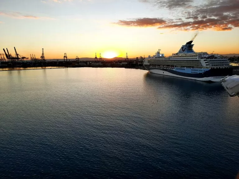
Valencia province’s coast north of Dénia, with València, Cullera and Gandia.
Costa de Valencia guide →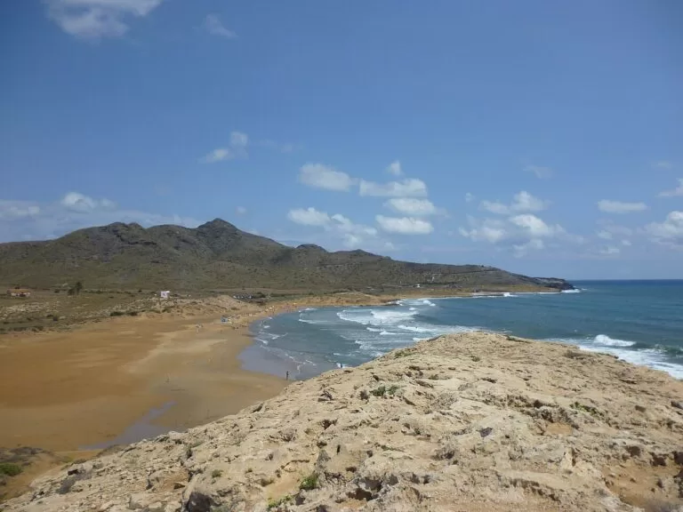
Costa Cálida
The coast of the Región de Murcia south of Pilar de la Horadada: 250 km, with La Manga, Cabo de Palos and Cartagena.
Costa Cálida guide →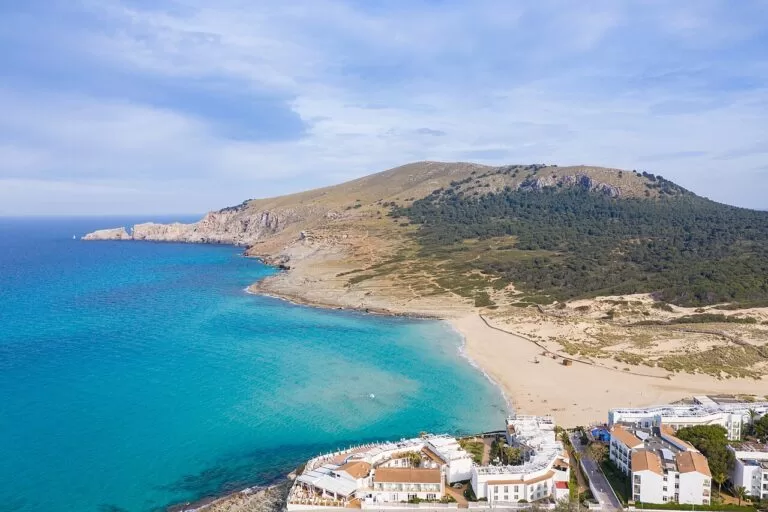
Illes Balears
Mallorca, Menorca, Ibiza and Formentera; ferries from Dénia sail to Ibiza, Formentera and Palma.
Balearic Islands guide →Sources and freshness
Checked 5 October 2026 · 14 sources Show
- Checked 5 October 2026. New sections checked 6 November 2026
- El Campello cove from the Comunitat Valenciana tourist board. Official: the Costa Blanca tourist board (coast and beaches)
- the Comunitat Valenciana tourist portal on Calp, Altea, Benidorm, Finestrat, Villajoyosa, Guadalest and the other towns
- Dénia Turismo on the castle, beaches and getting there
- Xàbia Tourism on the town, El Arenal and Granadella
- Visit Benidorm
- Alicante Turismo on the castle, Postiguet and Tabarca
- Turismo de Santa Pola
- Guardamar Turismo
- Turismo de Torrevieja
- Parques Naturales of the Generalitat on Penyal d’Ifac, Montgó, Serra Gelada and El Hondo
- the Generalitat on forest fires
- UNESCO on the Palmeral of Elche
- TRAM d’Alacant. Climate: AEMET normals for Alicante, 1981–2010. Airports: OurAirports for Alicante, Valencia and Murcia. Locations and straight-line distances: OpenStreetMap contributors (ODbL). Campsite details: Campcation listings, as shown on each campsite’s CostaMap page
Photo credits · 45 photos from Wikimedia Commons Show
Photos from Wikimedia Commons, not altered except for cropping: Calp by Bjørn Christian Tørrissen (CC BY-SA 4.0); Xàbia by Concepcion AMAT ORTA… (CC BY 3.0); Altea by diego_cue (CC BY-SA 3.0); Alicante by Jesús Alenda (CC BY 2.0); Torrevieja by Ximonic (Simo Räsänen) (CC BY-SA 4.0); Guadalest by PiotrMig (CC BY-SA 4.0); Cala Ambolo, Xàbia by Werner Wilmes (CC BY 2.0); Villajoyosa by Ximonic (Simo Räsänen) (CC BY-SA 4.0); Mercado Central, Alicante by Kironreid (CC BY-SA 4.0); Serra Gelada by Alacanti1975 (CC BY 3.0); Palmeral of Elche by chisloup (CC BY 3.0); Guardamar dunes by Ryan Hodnett (CC BY-SA 4.0); Cala de la Granadella by Werner Wilmes (CC BY 2.0); Cala del Moraig by Ray Ok (CC BY 3.0); Playa de Levante, Benidorm by Ximonic (Simo Räsänen) (CC BY-SA 4.0); Cala de Finestrat by AyuntamientoFinestrat (CC BY-SA 4.0); Playa del Postiguet, Alicante by Cale Weaver jcaleweaver (CC0); Guardamar del Segura by Ryan Hodnett (CC BY-SA 4.0); Dénia by chisloup (CC BY 3.0); Xàbia by Concepcion AMAT ORTA… (CC BY 3.0); Calp by chisloup (CC BY 3.0); Altea by Jack globetrotter (CC BY-SA 3.0); Benidorm by Diego Delso (CC BY-SA 3.0); Alicante by Mike McBey (CC BY 2.0); Santa Pola by Ximonic (Simo Räsänen) (CC BY-SA 4.0); Torrevieja by Ximonic (Simo Räsänen) (CC BY-SA 4.0); Llíber, Jalón valley by Werner Wilmes (CC BY 2.0); Fonts de l’Algar by chisloup (CC BY 3.0); El Campello by chisloup (CC BY 3.0); Guardamar del Segura by RegisoleII (CC BY-SA 4.0); Santa Bárbara castle, Alicante by PiotrMig (CC BY-SA 4.0); Alicante by Joakinol (CC BY-SA 4.0); Peñón de Ifach by chisloup (CC BY 3.0); Tabarca by chisloup (CC BY 3.0); Salinas de Santa Pola by Ryan Hodnett (CC BY-SA 4.0); Alicante old town by PiotrMig (CC BY-SA 4.0); Balcón del Mediterráneo, Benidorm by chisloup (CC BY 3.0); Altea by PiotrMig (CC BY-SA 4.0); Cap de la Nau by chisloup (CC BY 3.0); Guadalest valley by Jack globetrotter (CC BY-SA 3.0); Elche by chisloup (CC BY 3.0); Torrevieja pink lagoon by Ryan Hodnett (CC BY-SA 4.0); Port of Valencia by Bybbisch94, Christian Gebhardt (CC BY-SA 4.0); Calblanque, Cartagena by Richpl (CC BY-SA 3.0); Cala Mesquida, Mallorca by dronepicr (CC BY 2.0).