
Cap de la Nau (Cabo de la Nao)
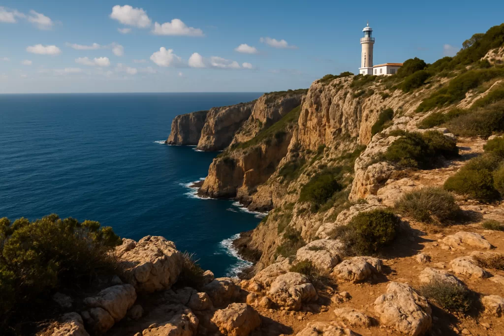
ViewpointThe Cap de la Nau is the easternmost headland of the Costa Blanca, where the cliffs of Jávea drop in pine-clad terraces to a deep blue sea — a classic lighthouse viewpoint and the closest point to the Balearics.
Why visit the Cap de la Nau
The cape marks the south-eastern tip of Jávea and the point where the Costa Blanca turns the corner toward Alicante. A lighthouse stands on the headland, and from the clifftop miradors the views run far out to sea — on clear days as far as Ibiza — and down a coastline of hidden coves.
The lighthouse
The Cap de la Nau lighthouse on the clifftop, the navigational marker for this corner of coast.
The miradors
Clifftop lookouts over the sea and, on clear days, the distant outline of Ibiza.
Hidden coves
The headland shelters small calas like Ambolo and Granadella along its flanks.
Pine terraces
Terraced pine and scrub spill down the cliffs, typical of the wild Jávea coastline.
Clifftop paths
Short trails link the miradors and lead toward the Torre del Gerro watchtower.
Sunrise point
As the easternmost cape, it is one of the first places in Spain to catch the morning sun.
Practical information
- Getting there: about 1h 30m by car from Alicante airport (ALC); a road leads up to the lighthouse car park.
- Best time to visit: early morning for the light and the clearest sea views toward the islands.
- Getting around: short level walks link the viewpoints; bring sun protection and water.
- Don’t miss: the main mirador by the lighthouse and the path toward Cala Ambolo.
Cap de la Nau or Cabo de la Nao?
Both are correct. Cap de la Nau is Valencian, Cabo de la Nao is Castilian, and you will also see Cap de Nau, Cabo Nao and the anglicised Cape Nao. The name is thought to come from the Latin navis — ship — for the headland’s profile from the sea. Road signs from Jávea (Xàbia) use the Valencian form; older Spanish maps use the Castilian. The mirador del Cap de la Nau is the viewpoint beside the lighthouse, not a separate place.
Find Cap de la Nau (Cabo de la Nao) on the map
Place type
Area · next level
 Marina Alta
Cap de la Nau (Cabo de la Nao)
Cap de la Nau is the closest point on the Costa Blanca to the Balearics — a lighthouse headland where clear-day views stretch as far as Ibiza.
Nearby
Places worth knowing
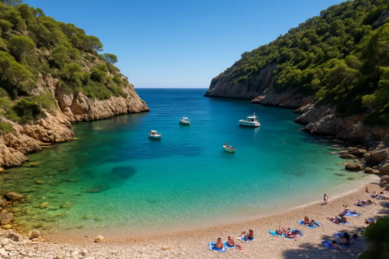 Marina AltaCala Granadella (Jávea)A pine-framed pebble cove south of Jávea with crystal-clear turquoise water — regularly ranked among Spain’s most beautiful…Read more →
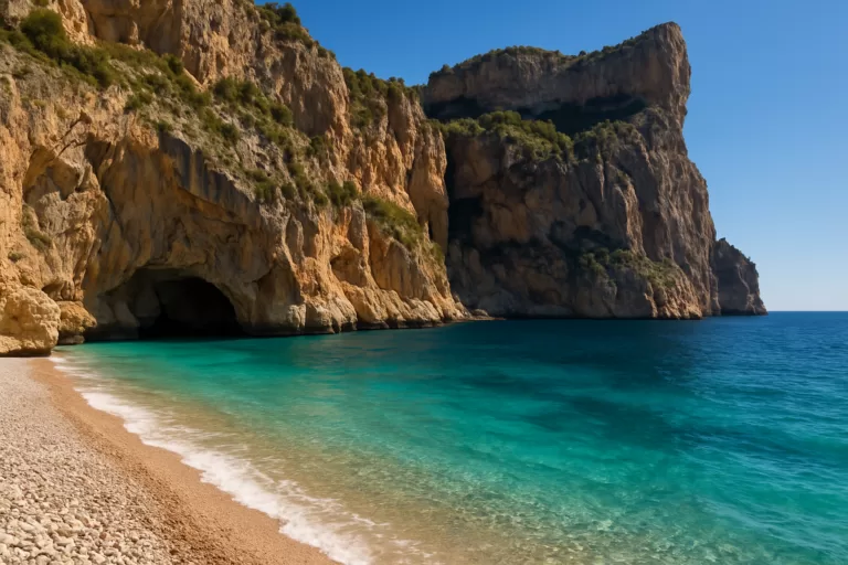 Marina AltaCala del Moraig (El Poble Nou de Benitatxell)A dramatic pebble cove between high cliffs near Benitatxell, with vivid turquoise water, a sea cave and a scenic clifftop coastal path.Read more →
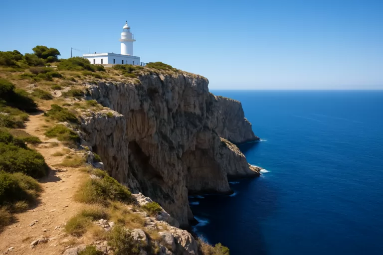 Marina AltaCap de Sant Antoni (Jávea)A clifftop cape and lighthouse between Jávea and Dénia, with sweeping views over Xàbia’s bay and, on a clear day, the Balearic…Read more →
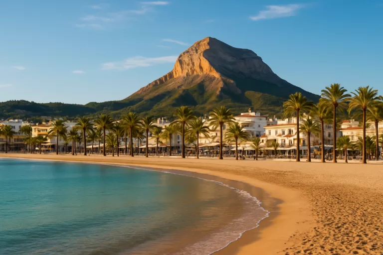 Marina AltaJávea (Xàbia)Jávea (Xàbia) on the northern Costa Blanca: old town, fishing port, the Arenal beach, Cala Granadella cove and the Montgó Natural Park.Read more →
This place is part of our Costa Blanca Guide: Benidorm, Calpe, Altea and the Best of Alicante — see every town, beach and cove we have mapped on that coast.
How this page is maintained. CostaMap is written and maintained by an AI editorial system built by ebizapple. Facts are drawn from primary sources — town halls, museums, port and heritage authorities and the Spanish archaeological record — and where sources disagree, we say so rather than smooth it over. Photographs marked as ours are taken on location. This page was last reviewed on 14 August 2026. Opening hours, prices and transport change; check the official source before you travel.