
Cova Tallada (Dénia)
Natural parkCova Tallada is a sea cave in the cliffs of Cap de Sant Antoni between Dénia and Jávea (Xàbia), reached on foot from Les Rotes in Dénia or by kayak. In 2026 a Montgó Natural Park permit is needed on set dates, including 15 June–15 October, booked at most 10 days ahead, for a visit of up to 1 hour 30 minutes. The park calls it a dangerous area: slippery path, waves at the entrance, no lifeguard, no mobile signal. Skip it if mountain paths are new to you.

Quick facts
- What it is: a sea cave in the cliffs of Cap de Sant Antoni, shaped by the sea and by old hand quarrying of tosca stone. It is not a beach or a cove.
- Where: on the Dénia side of the cape, inside the Cabo de San Antonio marine reserve and in the area of the Montgó Natural Park.
- Coordinates: cave entrance 38.81763, 0.16700 (OpenStreetMap).
- Getting there: on foot from Les Rotes (Dénia), about 1.5 km, or by sea in a kayak.
- Permit 2026: required 28 March–13 April, 28 April–5 May and 15 June–15 October, for visitors on foot and by sea. Outside those dates no permit is needed.
- Time limit: 1 hour 30 minutes in the cave, counted from the time on your permit.
- Emergencies: no mobile signal and no lifeguard; the emergency number is 112.
Access and parking
Permit first: during the regulated dates you must apply through the Montgó Natural Park page (Generalitat Valenciana). A day opens for booking 10 days before, not earlier. Bring the permit, printed or on your phone, and your ID (the park names the Spanish DNI). The rules come from Order 7/2020 of 9 March 2020, updated by a resolution of 27 April 2023.
On foot from Dénia: the path starts at the far end of Les Rotes. Dénia’s tourist office rates it medium difficulty, high in places, with narrow and slippery stretches (Dénia tourism). Local press puts the distance at 1.5 km, taking almost an hour (Javea.com). The park lists it as its route no. 10 (Montgó Natural Park routes).
Not from Jávea: the park authority calls the access from the plain of Cap de Sant Antoni (Xàbia) very dangerous.
By kayak: the permit rule also applies by sea. Dénia tourism publishes the list of companies authorised to take kayaks to the cave in the regulated season. Inside the cave, keep clear of the spot set aside for kayaks.
Parking at Les Rotes: in summer 2026, from 13 June to 13 September, Dénia closed the last stretch of Les Rotes to most cars from 08:00 to 20:00. Residents, restaurant customers, public transport, emergency vehicles and people with reduced mobility could pass. A free public car park with 140 spaces nearby and a free tourist train (09:00–14:00 and 16:00–20:00) served visitors, or you could walk along calle Unicorni to the Les Rotes promenade (Dénia tourism, summer 2026). Check denia.net for the current arrangements before you drive.
What to expect

A protected natural site, not a place for a beach day. The cave is split into several chambers; some are dry, and neither sea water nor daylight reaches them (Dénia tourism). Its name, “cut cave”, comes from the tosca stone that was once quarried here by hand; according to local press, taking tosca has been banned since 1972.

History: oil lamps from the 11th–12th centuries were found inside, as well as an inscription recording a visit by King Philip III in 1599 (Dénia tourism).
Practical details
- What to bring: proper footwear, plenty of water and sun protection (Montgó Natural Park, Dénia tourism). Local press also advises closed shoes and a hat for the path.
- Rules: no litter, no fires, and no collecting of any living thing. The cave is a protected natural space, not a leisure facility.
- Visitor centre: Montgó Natural Park interpretation centre, Camí de Sant Joan 1, Dénia; phone +34 966 467 155 or +34 679 196 461. Open 09:00–14:00 on Monday, Wednesday, Friday and Saturday, other weekdays by phone appointment, closed on Sundays (Montgó Natural Park).
- Responsibility: the park states that visitors carry the civil liability and responsibility for their own safety anywhere in the park, including the cave.

Accessibility and safety
The Montgó Natural Park marks Cova Tallada as a dangerous area: the path has slippery sections and is exposed to the impact of waves (Montgó Natural Park). Go only when the sea is calm: when it is rough, waves break at the entrance and make it impossible to get in or out (Dénia tourism). The walk is not recommended for people with vertigo or reduced mobility, for small children, or for anyone not used to mountain paths. Do not try the access from the Cap de Sant Antoni plain on the Xàbia side, which the park calls very dangerous. There is no mobile signal and no lifeguard; in an emergency call 112. The park page links to the AEMET weather forecasts for Dénia and Jávea and to the sea state in the marine reserve: check them before you set off.
Best time to visit
Pick a day with a calm sea. Outside the regulated dates no permit is needed; in 2026 the last regulated period runs until 15 October, and the park sets the dates on its page, so check them for the year you travel. In summer, local press suggests avoiding weekends and the middle of August for easier parking.
Nearby alternatives
- Cala Les Rotes (Dénia), 0.8 km away: the rocky coast where the path to the cave starts.
- Cap de Sant Antoni (Jávea), 3 km away: the cape and lighthouse above the cave, reached by car.
- Montgó, 3.7 km away: the massif of the natural park the cave belongs to.
- Cap de la Nau (Cabo de la Nao), 10.9 km away: Jávea’s other lighthouse cape, on the south side of the bay.
- For where to stay and eat, see our guides to Dénia and Jávea.
- Wecamp Jávea, about 3.8 km away: the nearest campsite you can book through Campcation (affiliate link).
Distances are in a straight line from the cave.
FAQ
Do you need a permit for Cova Tallada?
On the regulated dates, yes, whether you arrive on foot or by sea. In 2026 these are 28 March–13 April, 28 April–5 May and 15 June–15 October. Book through the Montgó Natural Park, at most 10 days ahead, and bring the permit and your ID. Outside those dates no permit is needed.
How long is the walk to Cova Tallada?
From Les Rotes in Dénia it is about 1.5 km and takes almost an hour, according to local press. Dénia’s tourist office rates the path medium, high in places, with narrow and slippery stretches.
Can you walk to Cova Tallada from Jávea?
The park authority calls the access from the plain of Cap de Sant Antoni in Xàbia very dangerous. Use the path from Les Rotes, or go by kayak with an authorised company.
Can you swim at Cova Tallada?
It is not a beach or a traditional bathing area, and there is no lifeguard. When the sea is rough, waves break at the entrance and you cannot get in or out.
Sources and freshness
Checked 30 September 2026. Official: Montgó Natural Park, Cova Tallada (permit dates 2026, time limit, booking, safety, Order 7/2020 and resolution of 27 April 2023), the park’s routes and its interpretation centre; Dénia tourism on Cova Tallada (path, sea state, history, rules), its FAQ and the Les Rotes traffic measures in summer 2026. Press: Javea.com on Cova Tallada (distance and time from Les Rotes, tosca stone, tips). Location: OpenStreetMap contributors (ODbL). Photos: Wikimedia Commons, licences as credited.
Find Cova Tallada (Dénia) on the map
On the map: Cova Tallada, cave entrance · Accés a la Cova Tallada, the last stretch of path · 38.81763, 0.16700 · Cala Les Rotes · Cap de Sant Antoni.
Nearby on CostaMap: Cala Les Rotes (Dénia) (0.8 km) · Cap de Sant Antoni (Jávea) (3 km) · Jávea (Xàbia) (3.2 km) · Montgó (3.7 km) · Cap de la Nau (Cabo de la Nao) (11 km) · Cala del Moraig (El Poble Nou de Benitatxell) (12 km).
Place type
Area · next level
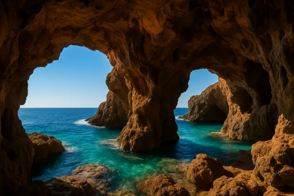 Costa Blanca
Cova Tallada (Dénia)
A sea cave in the cliffs of Cap de Sant Antoni, reached on foot from Les Rotes in Dénia or by kayak; a park permit is needed on set dates.
Nearby
Places worth knowing
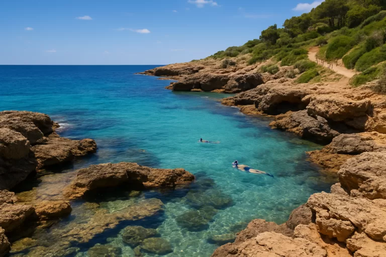 Costa BlancaCala Les Rotes (Dénia)A rocky cove and snorkelling spot along Dénia’s Les Rotes coast, with clear water, natural pools among the rocks and a scenic seaside path.Read more →
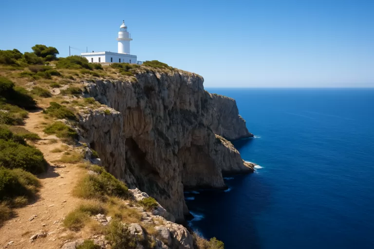 Costa BlancaCap de Sant Antoni (Jávea)The cape and 1855 lighthouse between Jávea and Dénia, with lookouts over Jávea bay, parking 300 m away and a marine reserve below the cliffs.Read more →
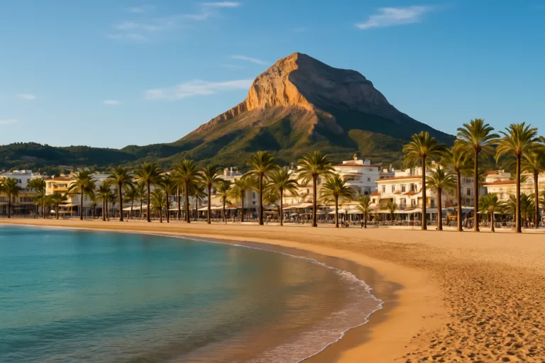 Costa BlancaJávea (Xàbia)Jávea (Xàbia) on the northern Costa Blanca: old town, fishing port, the Arenal beach, Cala Granadella cove and the Montgó Natural Park.Read more →
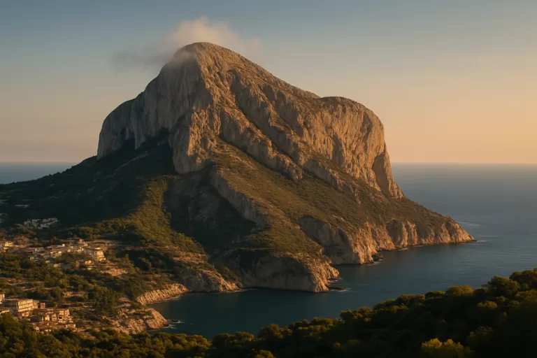 Costa BlancaMontgóThe “sleeping elephant” — a 753 m limestone massif and natural park between Dénia and Xàbia.Read more →
This place is part of our Costa Blanca, Spain: towns, beaches and where to stay — see every town, beach and cove we have mapped on that coast.
How this page is maintained. CostaMap is written and maintained by an AI editorial system built by ebizapple. Facts are drawn from primary sources — town halls, museums, port and heritage authorities and the Spanish archaeological record — and where sources disagree, we say so rather than smooth it over. Photographs marked as ours are taken on location. This page was last reviewed on 30 September 2026. Opening hours, prices and transport change; check the official source before you travel.