
Murcia’s coast · Región de Murcia, Spain
Costa Cálida, Spain: Mar Menor, beaches, towns and map
A warm lagoon for calm-water beaches, Roman Cartagena, a diving reserve off Cabo de Palos and wild coves down to Águilas.
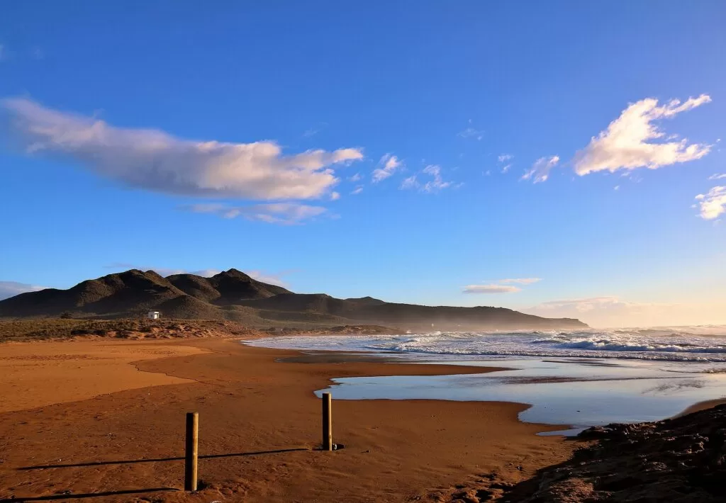
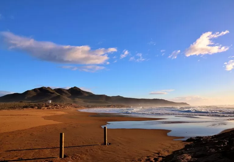
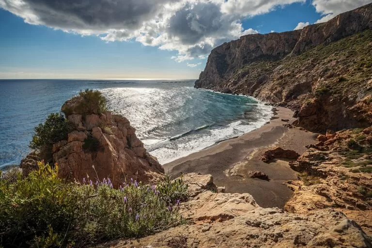
Playa de Calblanque · Photo: José Miguel Grandal, CC BY-SA 4.0
The Costa Cálida is the Region of Murcia’s 250 km of Mediterranean coastline, between the Costa Blanca to the north and the Costa de Almería to the south. At its centre is the Mar Menor, a saltwater lagoon of about 135 km², closed off from the sea by La Manga, a sand bar about 21 km long. Around the lagoon are calm, shallow town beaches; to the south lie Roman Cartagena, the coves of Calblanque, and Mazarrón and Águilas on the open sea. Región de Murcia airport (RMU) is about 24 km from Cartagena in a straight line.
At a glance
- Where the Mediterranean coast of the Region of Murcia, between the Costa Blanca (Alicante) and the Costa de Almería.
- Length 250 km of coastline (regional tourist board figure).
- Mar Menor Europe’s largest saltwater lagoon: about 135 km², 73 km of shore and no more than 7 m deep.
- On CostaMap eight coastal town guides, 10 places on the coast and three campsites on the coast (three inland).
- Airports Región de Murcia (RMU) about 24 km from Cartagena, Alicante-Elche (ALC) about 54 km from San Pedro del Pinatar, both in a straight line.
- Driest and warmest July is the driest month and August the warmest (NASA POWER, 2001–2020).
Map of the Costa Cálida
The map shows the places on the Costa Cálida that have a CostaMap page, from San Pedro del Pinatar in the north to Águilas in the south, with the campsites inland. Tick a place type to filter it, and click a marker to open the page. The full-screen version is the Costa Cálida map.
Place type
Area · next level
 Coast guide
Costa Cálida
Click a marker to see the place here. Four areas from San Pedro del Pinatar to Águilas, with Murcia and the Sierra Espuña inland.
Choose your areaOpen the full Costa Cálida map →
Choose your area
The regional tourist board lists eight coastal destinations: Águilas, Cabo de Palos, Cartagena, La Manga del Mar Menor, Los Alcázares, Mazarrón, San Javier and San Pedro del Pinatar (Murcia Turismo Azul). We group them in four areas, from north to south. The real choice is between the lagoon, with warm and shallow water, and the open sea.
Mar Menor north: San Pedro, San Javier, Los Alcázares
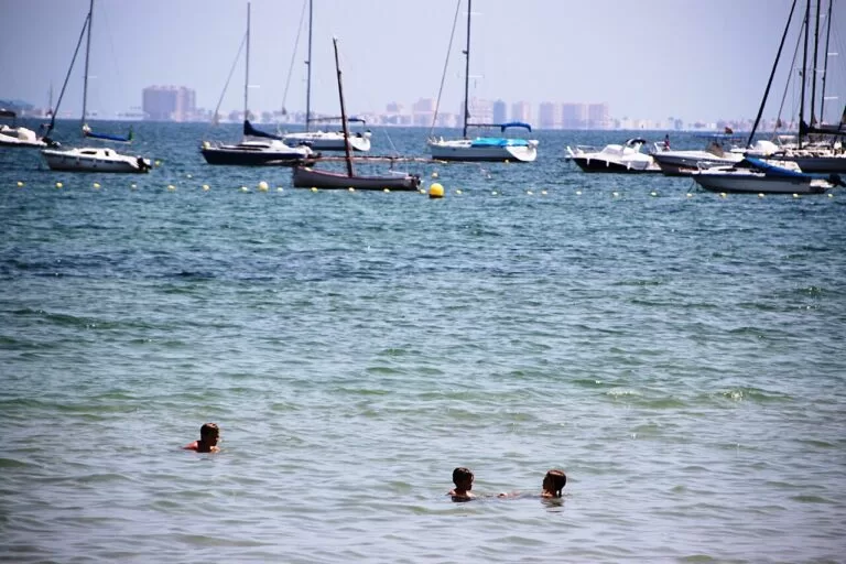
Calm, shallow lagoon beaches with long promenades, the salt flats of San Pedro and the mud pools of Lo Pagán.
- San Pedro del Pinatar – salt flats and dunes in an 856-hectare regional park, and the mud pools by Villananitos beach in Lo Pagán.
- San Javier – the urban lagoon beaches of Santiago de la Ribera, and an international jazz festival every July.
- Los Alcázares – 7 km of Mar Menor shore from Los Narejos to Punta Brava, with a marina by Playa de La Concha.
La Manga and Cabo de Palos
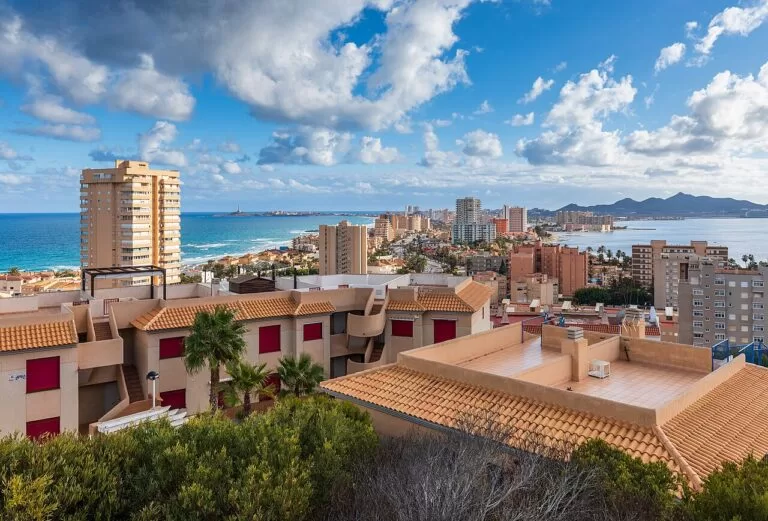
A sand bar about 21 km long and 200 m to 1.5 km wide, with the lagoon on one side and the open Mediterranean on the other.
- La Manga del Mar Menor – a resort strip of apartment blocks; the outer side for waves, the inner side for calm water and sailing.
- Cabo de Palos – a village under a lighthouse first lit in 1865, next to the Islas Hormigas marine reserve.
Cartagena and La Unión
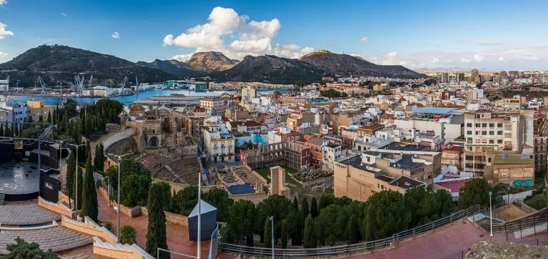
The Roman and naval port city, and the old mining town behind the Sierra Minera, with the bay of Portmán below it.
Mazarrón and Águilas
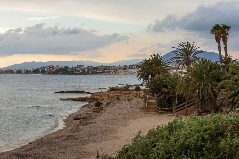
The open sea towards Almería: coves below the Sierra de las Moreras, Phoenician wrecks and a castle above the harbour of Águilas.
- Mazarrón – two Phoenician wrecks found off Playa de la Isla, and the wind-carved sandstone of Bolnuevo.
- Puerto de Mazarrón – the harbour side of Mazarrón, with La Isla and Bahía among the best-known beaches.
- Águilas – 36 beaches and coves, an 18th-century castle and a February carnival of international tourist interest.
Inland day trips
These towns are inland, so they are not in the lists above. Five that combine well with the coast:
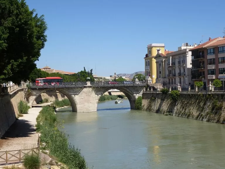
- Murcia – the regional capital, about 44 km from Cartagena in a straight line and linked to it by Renfe trains.
- Lorca – a castle town 37 km by road from Águilas.
- Torre-Pacheco – a farming town about 9 km west of Los Alcázares in a straight line, between Murcia and the lagoon.
- Archena – an inland spa town on the Segura with the Balneario de Archena, about 24 km from Murcia.
- Fuente Álamo de Murcia – a water museum, the Carrascoy hills and a greenway, inland between Murcia and Cartagena.
Explore by interest
Six ways into the coast. Each tile opens the part of this guide that covers it.
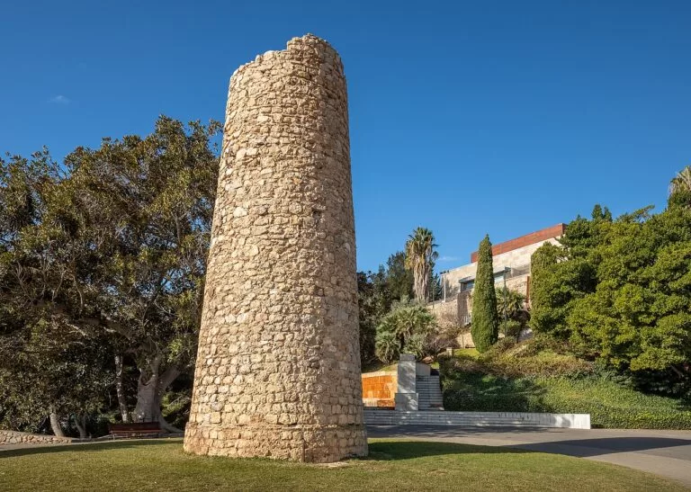

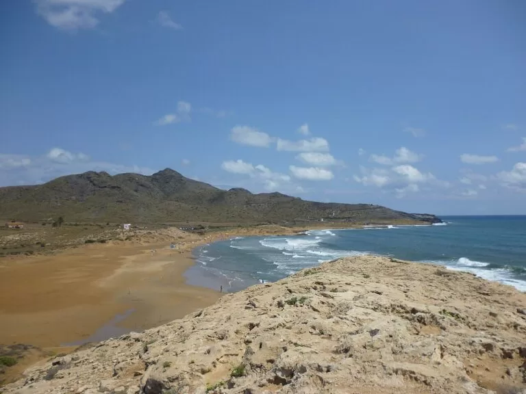
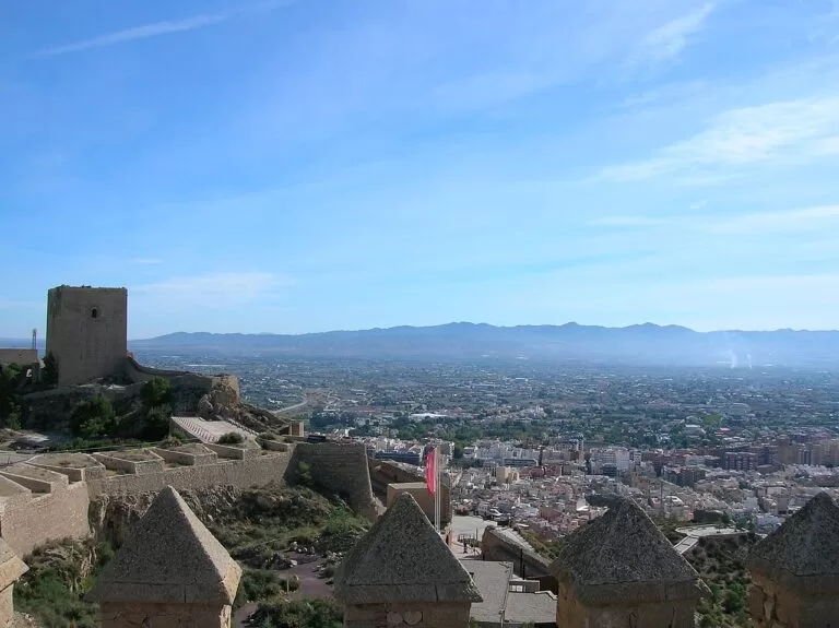
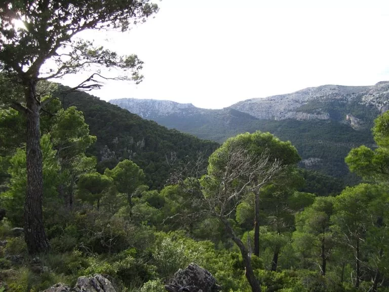
Best beaches and coves
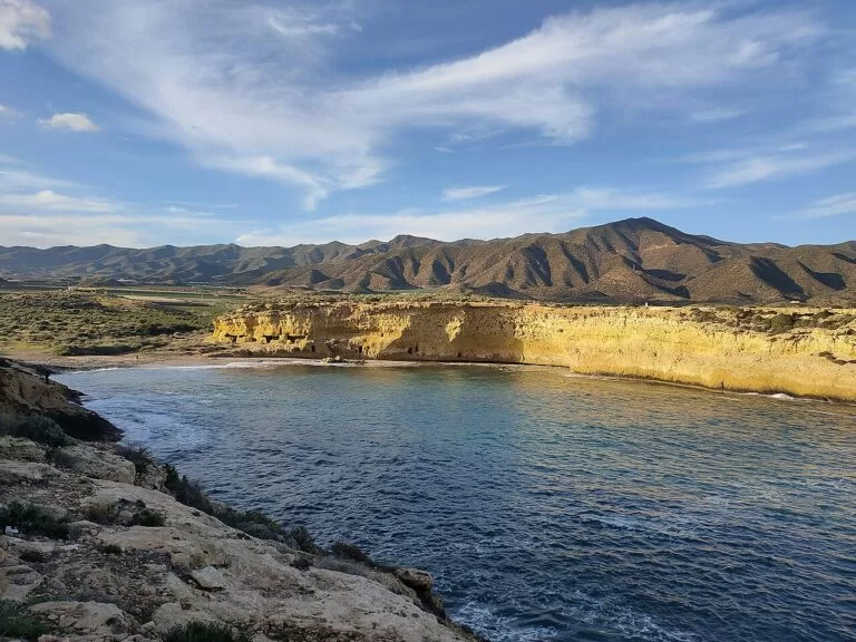
Mar Menor beaches face the lagoon, which has 73 km of shoreline and is no more than 7 m deep, so the water is calm. From La Manga southwards the beaches face the open Mediterranean. The regional Mar Menor portal publishes bathing-water reports through the season (Canal Mar Menor, bathing water). The selection below is ours, from north to south.
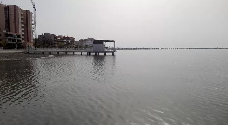
Lo Pagán: La Puntica and Villananitos
La Puntica is 520 m long and about 40 m wide. Villananitos lies next to Las Charcas, the pools used for mud bathing, at the edge of the salt flats (Murcia Turismo, Villananitos).
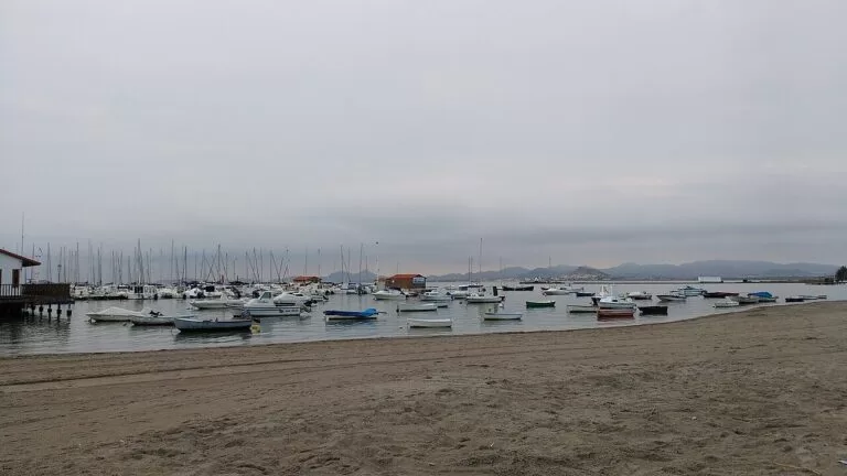
Mar Menor town beaches
Barnuevo in Santiago de la Ribera has lifeguards from 15 June to 15 September, 11:00 to 19:00. Further south: Playa de La Concha by the Los Alcázares marina, Playa Honda (700 m) and El Arenal in Los Nietos, about 2.7 km long.
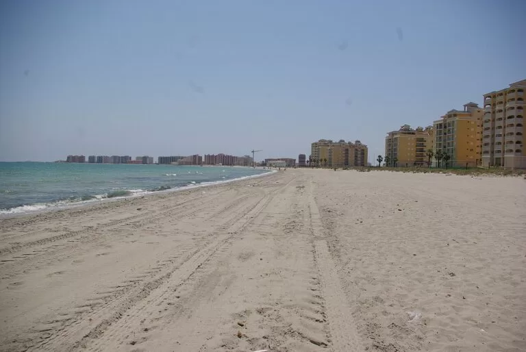
La Manga, two seas
The strip runs for about 21 km from Cabo de Palos to Veneziola beach and is between 200 m and 1.5 km wide: lagoon beaches on the inner side, the open Mediterranean on the outer side.
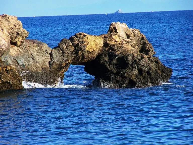
Coves of Cabo de Palos
Small rocky coves around the cape: Cala Fría, Cala Roja and Cala Túnez, with Playa de Levante by the village. The water off the cape is a marine reserve.
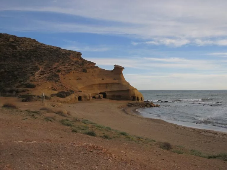
Las Cuatro Calas, Águilas
A protected stretch of four beaches: Calarreona, La Higuerica, La Carolina and Los Cocedores (Murcia Turística). Águilas counts 36 beaches and coves in all.
Two coastal nature areas have their own CostaMap page:
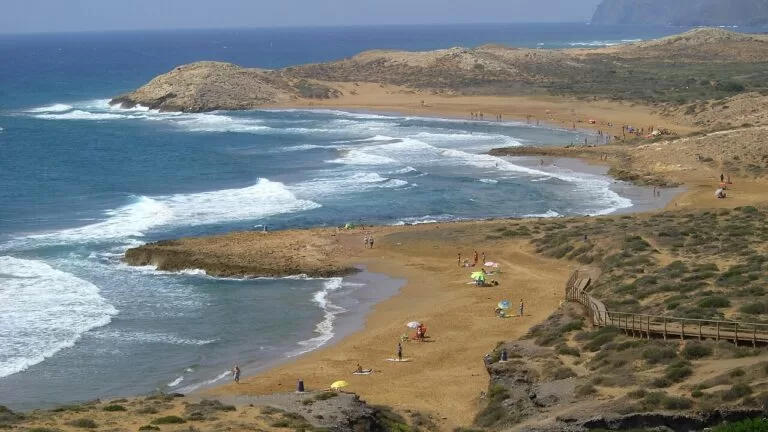
Calblanque
2,822 ha of dunes and coves between Cabo de Palos and Portmán, with Playa Larga (about 600 m) and Calblanque (about 350 m). In summer, a shuttle bus replaces the cars.
Read the guide →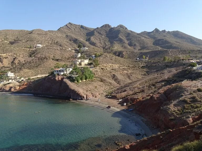
Gredas de Bolnuevo
Sandstone carved by wind and water into strange shapes beside Bolnuevo beach, with unspoilt coves below the Sierra de las Moreras.
Read the guide →Where to stay by town
Choose the lagoon for calm water and children, the open coast for waves and coves, and Cartagena if you want a city with museums and a railway station.
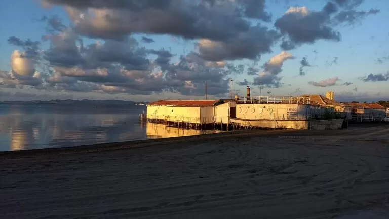
San Pedro del Pinatar
The northern tip of the Mar Menor, with the salt flats and dunes of an 856-hectare regional park and the mud pools of Lo Pagán.
Nature, birdwatching, mud baths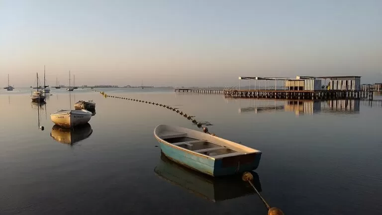
San Javier and Santiago de la Ribera
Urban lagoon beaches with a summer lifeguard post, and an international jazz festival in July.
Families, calm water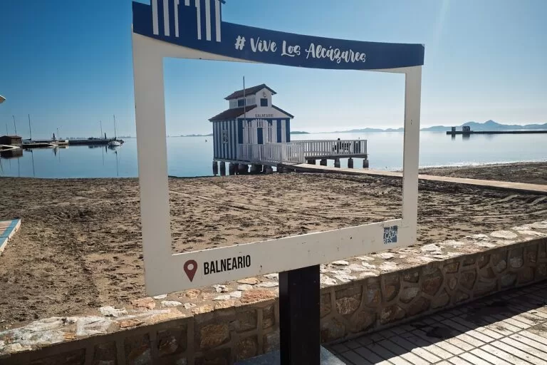
Los Alcázares
Seven kilometres of Mar Menor shore from Los Narejos to Punta Brava, with the marina beside Playa de La Concha.
A beach week without a car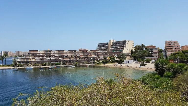
La Manga del Mar Menor
A resort strip of apartment blocks between the lagoon and the Mediterranean, with Cabo de Palos at its southern end.
Watersports, two seas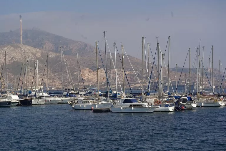
Cartagena
The Roman theatre under the old town and ARQUA on the port, with Renfe trains to Murcia.
A first visit, no car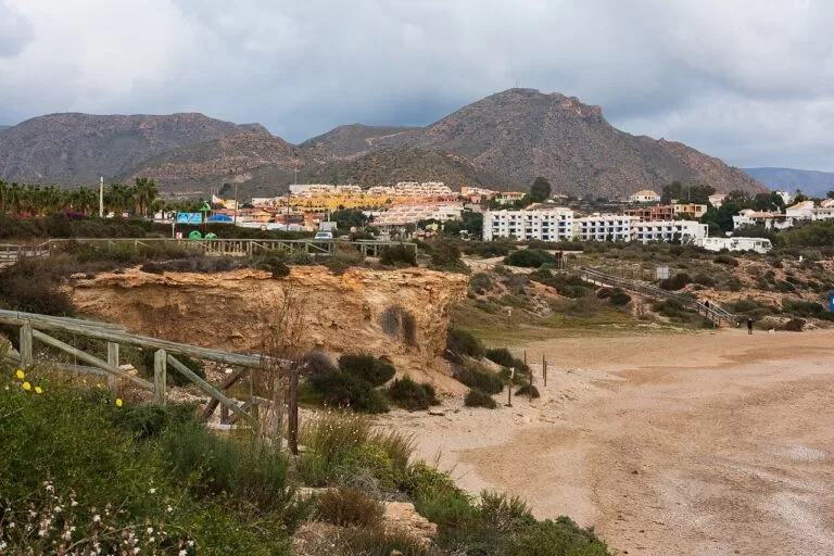
Puerto de Mazarrón
The harbour side of Mazarrón, with La Isla and Bahía among its best-known beaches and Bolnuevo to the west.
Quiet open-sea beaches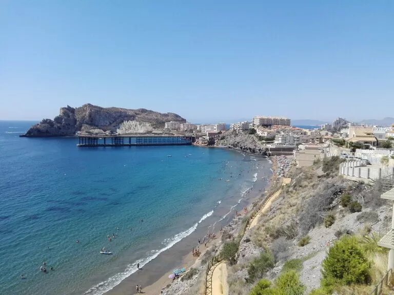
Águilas
The southern end, with 36 beaches and coves and the castle of San Juan; 80 km by road from the airport.
Coves, a slower weekCampsites
The campsites we list through Campcation on this coast are motorhome stopovers. The one closest to the sea is just over the regional border, and three are inland in the Sierra Espuña. Distances are in a straight line.
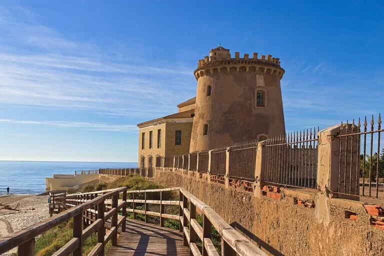
Camping Lo Monte
Just over the regional border in Pilar de la Horadada (Alicante), about 1 km from the sea and 5 km north of San Pedro del Pinatar. Motorhome stopover, open all year.
See the campsite →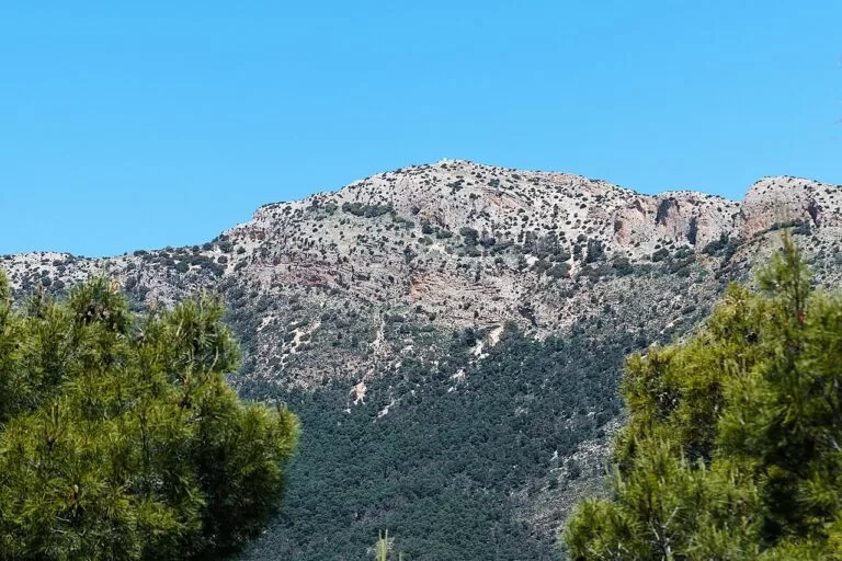
Camping Sierra Espuña
In the Sierra Espuña mountains, about 40 km from the coast; a base for walking, not for the beach. Motorhome stopover, open all year.
See the campsite →Inland of Cartagena: El Mástil Camper Park and Área Camper Park Caravanas Home, both open all year. In the Sierra Espuña also: Camperstop Sierra Espuña and Miya’s Den Camping.
Things to do
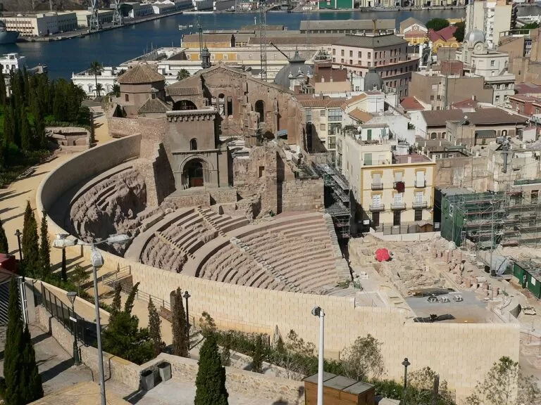
Roman Cartagena
The Roman theatre was built in the Augustan era and held about 7,000 spectators; the remains under the old town were identified as the theatre in 1990. Rafael Moneo designed the museum, which leads to the theatre through an underground corridor beneath the church of Santa María, the Old Cathedral (Cartagena Puerto de Culturas).
Tickets are €7 (€6 reduced), and entry is free for everyone on Tuesdays in the last two hours before closing; the museum is closed on Mondays (Teatro Romano, checked Oct 2026). Above the harbour, the Castillo de San Julián stands 293 m above the sea; it was built from 1861 to 1888 and is not open to visitors.
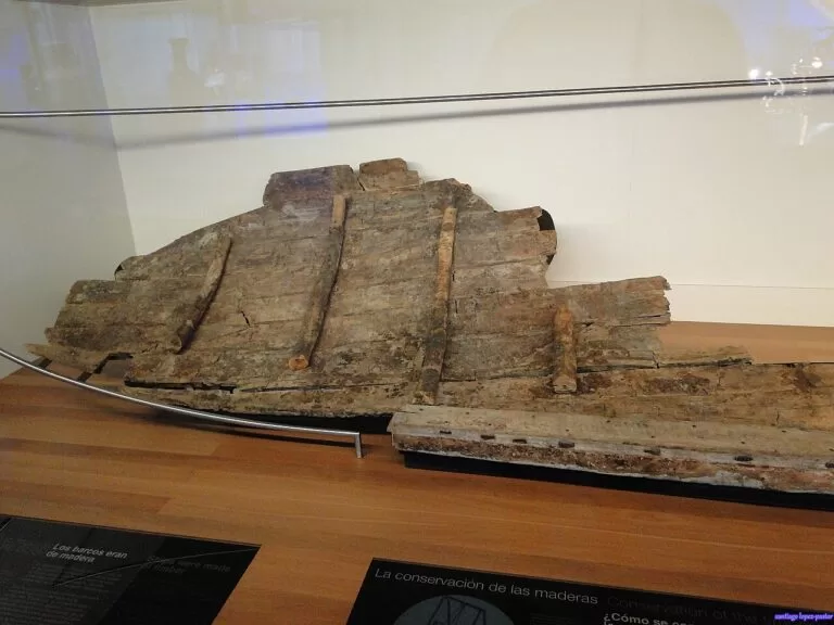
Phoenician wrecks and ARQUA
ARQUA, the National Museum of Underwater Archaeology, stands on Cartagena’s port in a building by Guillermo Vázquez Consuegra and opened in 2008. It opens Tuesday to Saturday 9:30–20:00 and Sundays 10:00–15:00; entry is €3 (€1.50 reduced) and free on Saturdays from 14:00 and all day Sunday (ARQUA, checked Oct 2026).
The Phoenician wrecks of Mazarrón were found off Playa de la Isla: Mazarrón 1 in 1988, dated to the second half of the 7th century BC, and Mazarrón 2, detected in 1994 and excavated in 1999–2000, then sealed in a steel box on the seabed. The first piece of it, part of the bow, has since been raised.
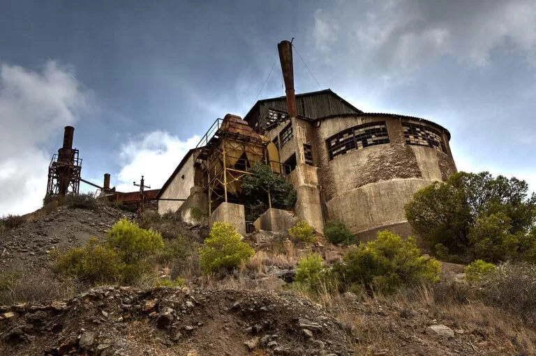
Mines and flamenco in La Unión
La Unión grew rich from lead and silver mines in the early 20th century. The Parque Minero covers 50,000 m² on the slopes of the Sierra Minera and is free, with no booking; the Agrupa Vicenta mine, from 1869, is currently closed inside (Murcia Turismo). Every August since 1961 the town holds the Cante de las Minas flamenco festival, whose top prize is the Lámpara Minera, in the Modernist market hall of 1907.
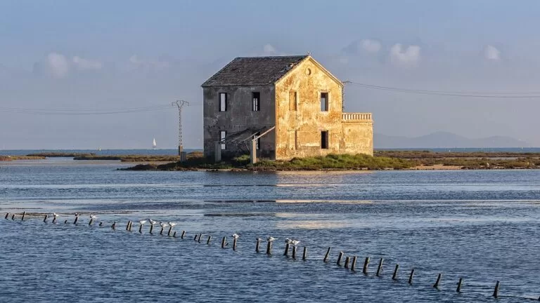
Caldero, langostinos and café asiático
Caldero is the signature dish of the Mar Menor and Cabo de Palos: rice cooked in a broth of rockfish and ñora peppers, served in two dishes, the rice and the fish, usually with alioli (Murcia Turística). The Mar Menor king prawn, the langostino, is the other local name to look for.
In Cartagena, end the meal with a café asiático: coffee with condensed milk, brandy, cinnamon, Licor 43 and lemon peel, in a glass first listed by a Cartagena glassworks in 1908 (Turismo de Cartagena). Try a marinera with it, Russian salad on a ring-shaped breadstick topped with an anchovy.
Diving, salt flats and flamingos
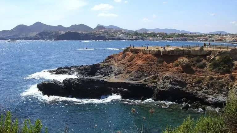
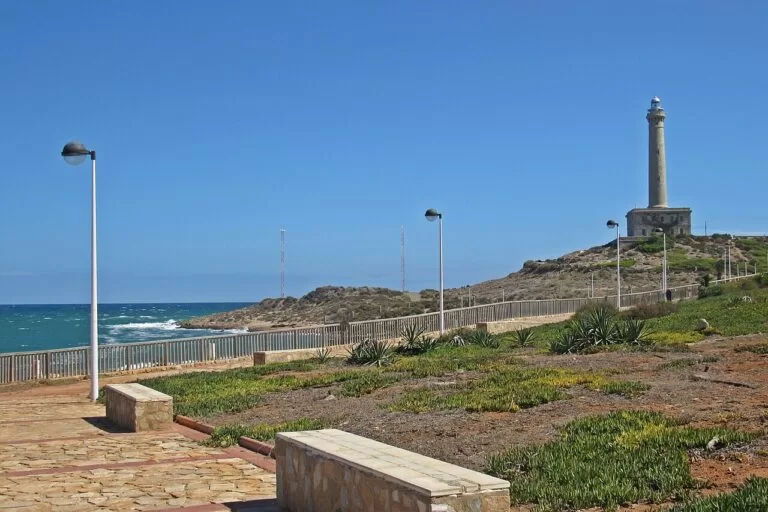
The Cabo de Palos–Islas Hormigas marine reserve covers 1,931 ha and was created in 1995. Diving in its inner waters needs prior authorisation, and the outer waters have daily quotas of at most three boats with twelve divers each (Ministry of Agriculture and Fisheries). Above it stands the Cabo de Palos lighthouse, 54 m tall and first lit on 31 January 1865.
At the northern tip of the Mar Menor, the Salinas y Arenales de San Pedro del Pinatar Regional Park is an 856-hectare wetland with salt pans and old salt mills; more than a hundred bird species use it, the flamingo being the best known (Murcia Turismo, San Pedro del Pinatar).
When to go
Average temperature and rainfall for the model grid point at 37.65, -0.90 (near Cartagena), from NASA POWER for 2001–2020. Read it as a guide to the seasons, not a beach forecast.
July is the driest month and August the warmest; the annual mean is 18.8 °C. Águilas’ tourist office gives an average sea temperature of 20 °C. Lifeguards are on Barnuevo beach from 15 June to 15 September, and in 2026 the Calblanque beach bus ran on 27–28 June and from 4 July to 30 August. Dates for the calendar: the carnival of Águilas in February, the San Javier jazz festival in July and the Cante de las Minas in La Unión in August.
Itineraries
Both plans use only places with their own CostaMap page.
Three days
Day 1
Cartagena
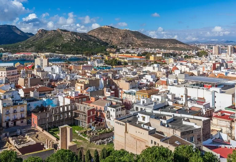
Start in Cartagena at the Roman theatre, which opens at 10:00 from Tuesday to Saturday; tickets cost €7, and the museum reaches the ruins through an underground corridor beneath the church of Santa María. After lunch, go down to the port for ARQUA, where the Phoenician-era wrecks Mazarrón I and II are among the highlights. Admission is €3, free on Saturdays from 14:00 and all day on Sundays. Both museums are closed on Mondays. In the evening, order a café asiático, Cartagena’s coffee with condensed milk, brandy, cinnamon and Licor 43.
Day 2
Cabo de Palos and Calblanque
Begin with the lighthouse and coves of Cabo de Palos. The 54 m tower was first lit in 1865, and the esplanade at its base is freely accessible. In the afternoon, head for the beaches of Calblanque. In summer, motor vehicles are restricted between 09:00 and 20:30, and a shuttle bus runs from the Los Belones car park (RM-12 exit 11) for €2 one way or €3 return; on foot or by bike, access is free. Take water and food, as none is sold in the park, and expect no mobile coverage on the beaches.
Day 3
The Mar Menor
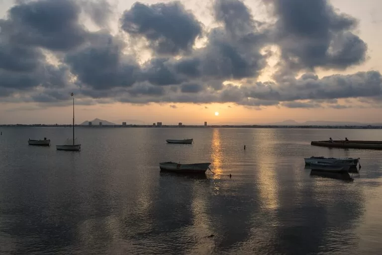
Spend the morning on the lagoon, along the 7 km of shoreline in Los Alcázares or on Barnuevo beach in Santiago de la Ribera, where lifeguards are on duty from 15 June to 15 September, 11:00 to 19:00. After lunch, continue to Lo Pagán in San Pedro del Pinatar: Villananitos beach lies next to Las Charcas, the pools used for mud bathing. At sunset, walk into the salt flats of the regional park, with its historic salt mills and more than a hundred bird species, the flamingo being the best known.
Seven days
Days 1–3: as above, based in Cartagena or on the Mar Menor.
Day 4
La Unión
Start at the mining park of La Unión, which covers 50,000 m² on the slopes of the Sierra Minera; entry is free and needs no booking. The Agrupa Vicenta mine, dating from 1869, is currently closed, so its interior cannot be visited. The town grew rich from its lead and silver mines, and its Modernist Antiguo Mercado Público, completed in 1907, is the main venue of the Cante de las Minas flamenco festival each August. In the afternoon, go down to the bay of Portmán, the Roman Portus Magnum.
Day 5
Mazarrón and Bolnuevo
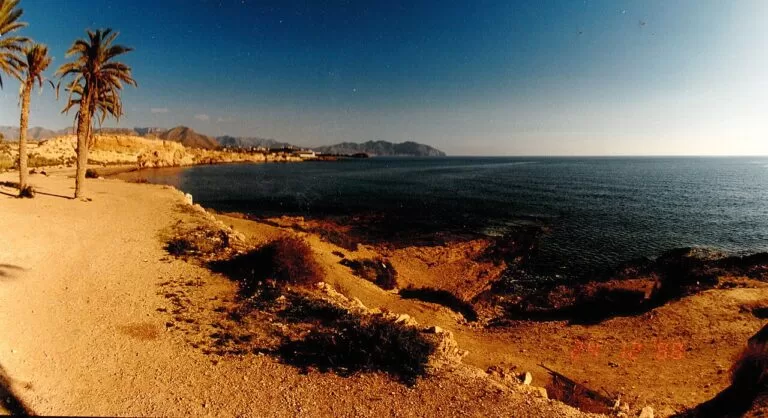
Mazarrón has two centres: the municipal capital, 5 km from the coast, and its harbour. In the morning, visit the Phoenician Ship Interpretation Centre; two Phoenician ships more than 2,500 years old were found off Playa de la Isla. In the afternoon, drive to Bolnuevo, where wind and water have carved the white sandstone facing the beach into the Gredas de Bolnuevo. The coves below the Sierra de las Moreras are closed to motor vehicles and can be reached only on foot or by mountain bike.
Day 6
Águilas
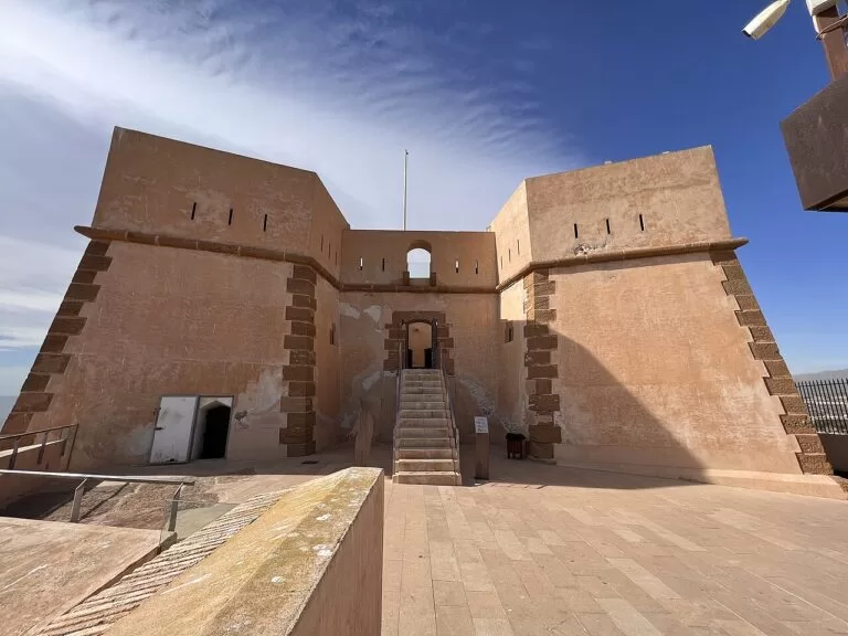
Águilas is 80 km from Cartagena by motorway. In the morning, visit the castle of San Juan, which dates from 1756, was designed by the military engineer Sebastián Feringán and is protected as a Bien de Interés Cultural. The town has 36 beaches and coves; spend the afternoon at Las Cuatro Calas, a protected area made up of four beaches: Calarreona, La Higuerica, La Carolina and Los Cocedores. If you travel in February, the carnival of Águilas is declared of International Tourist Interest.
Day 7
Murcia
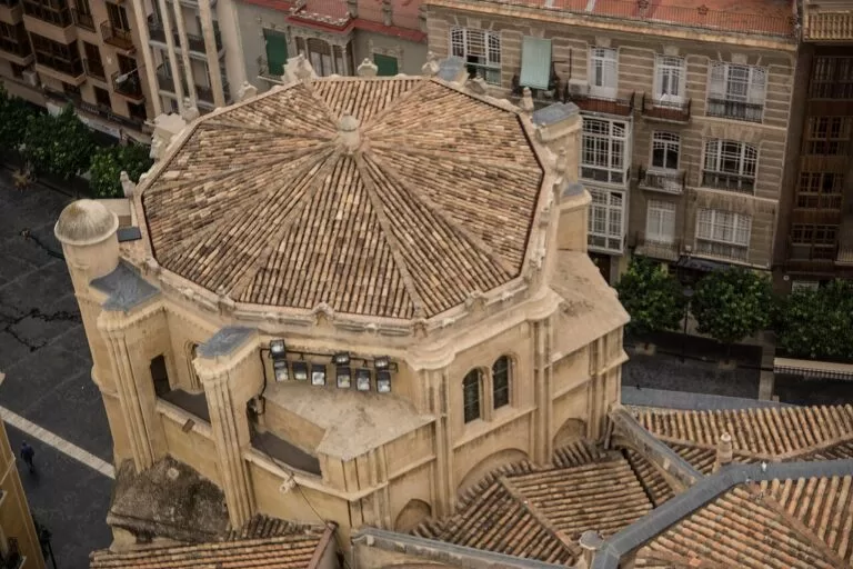
Take the train from Cartagena to Murcia, the regional capital; Renfe runs 10 trains each way on weekdays and 6 on Saturdays and Sundays. On the Plaza del Cardenal Belluga stand the cathedral, begun in the 14th century, the Bishop’s Palace and the Moneo building; you can visit the cathedral museum and climb its tower. Walk the old streets of Platería and Trapería, then see the Salzillo museum. For the flight home, Interbus links San Andrés bus station in Murcia with Región de Murcia airport (RMU).
Getting there and around
By air
Región de Murcia International Airport (RMU) at Corvera is the closest: about 24 km from Cartagena, 30 km from San Pedro del Pinatar and 59 km from Águilas in a straight line. Alicante-Elche (ALC) is about 54 km from San Pedro del Pinatar and 83 km from Cartagena (coordinates from OurAirports). Road distances are longer.
By bus and train
Interbus runs from RMU to San Andrés bus station in Murcia and to Cartagena bus station (Aena). Renfe’s Murcia–Cartagena trains run ten times each way on weekdays and six at weekends (Renfe). Check times before you travel.
By car
A car helps for the coves of Calblanque, Mazarrón and Águilas. In summer, cars may not enter the Calblanque beach area between 09:00 and 20:30; a shuttle bus runs from the Los Belones car park (RM-12, exit 11) and from a car park at the park entrance (exit 14).
Practical and safety
- Calblanque: no mobile coverage on the beaches, no water or food on sale, no bins, and no camping anywhere in the park. Dogs are not allowed in the beach zone from 1 March to 30 September (Calblanque, rules).
- Currents and jellyfish: the park warns of currents and jellyfish at its beaches, and the regional authorities monitor jellyfish in the Mar Menor in summer (Canal Mar Menor).
- Bathing water: check the latest Mar Menor bathing-water report before you swim; the 2026 series ran from April to mid-September.
- Diving: the inner waters of the Cabo de Palos marine reserve need an authorisation in advance, and dive boats in the outer waters work to a daily quota.
- Closed on Mondays: the Roman Theatre Museum and ARQUA in Cartagena. The Castillo de San Julián is not open to visitors at all.
FAQ
What is the Costa Cálida?
The Mediterranean coast of the Region of Murcia in south-east Spain: 250 km from San Pedro del Pinatar on the Mar Menor to Águilas, between the Costa Blanca and the Costa de Almería.
Which are the best Mar Menor beaches?
For calm, shallow water: Barnuevo in Santiago de la Ribera, La Concha in Los Alcázares, Playa Honda and the long El Arenal in Los Nietos. Lo Pagán has La Puntica and the mud pools beside Villananitos.
Is there a map of the Costa Cálida?
Yes. The map above shows every place on the coast with a CostaMap page, and the full-screen version is on the Costa Cálida map page.
Which airport is closest to the Costa Cálida?
Región de Murcia (RMU) at Corvera, about 24 km from Cartagena in a straight line, with Interbus buses to Cartagena and Murcia. Alicante-Elche (ALC) is closer to the northern end of the Mar Menor.
What are the best things to do on the Costa Cálida?
The Roman theatre and ARQUA in Cartagena, diving or a walk to the lighthouse at Cabo de Palos, the beaches of Calblanque, the salt flats of San Pedro del Pinatar and the coves of Águilas.
Mar Menor or the Mediterranean side?
The Mar Menor is a lagoon no deeper than 7 m, with calm water and town beaches. The Mediterranean side, from La Manga to Águilas, has waves, coves and the open sea.
Neighbouring costas
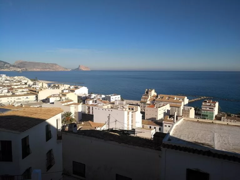
Costa Blanca
Alicante province, north of the Mar Menor, with Alicante-Elche airport.
Costa Blanca guide →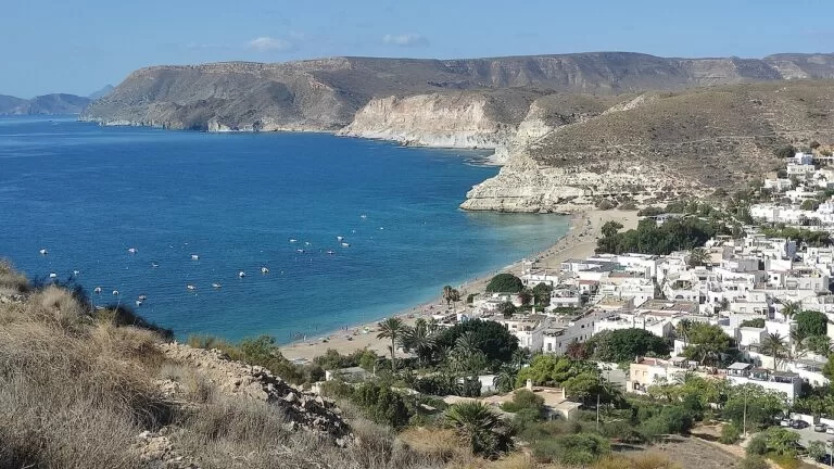
Costa de Almería
Almería province, south-west of Águilas, with the coves of Cabo de Gata.
Costa de Almería guide →Sources and freshness
Checked 5 October 2026. Official: Región de Murcia tourism on the coast, La Manga, Los Alcázares, San Javier, San Pedro del Pinatar, the salt flats, Calblanque, the lighthouse, Mazarrón, the La Unión mining park, the beach pages (La Puntica, Villananitos, Barnuevo, La Concha, Playa Honda, Los Nietos) and La Unión; Canal Mar Menor on the lagoon, bathing water and jellyfish; Calblanque on access, the shuttle bus and rules; the Ministry of Agriculture and Fisheries on the marine reserve; Cartagena on the Roman Theatre, Puerto de Culturas, San Julián and food; the Ministry of Culture on ARQUA and the Mazarrón wrecks; Ayuntamiento de Mazarrón; Águilas on facts and festivals; Instituto de Turismo on the castle of Águilas; Murcia Turística on caldero. Transport: Aena, Renfe, OurAirports for Murcia and Alicante. Climate: NASA POWER climatology, 2001–2020. Locations and straight-line distances: OpenStreetMap contributors (ODbL).
Photos from Wikimedia Commons, not altered except for cropping: Playa de Calblanque by José Miguel Grandal (CC BY-SA 4.0); Los Alcázares, Mar Menor by Fanny S Forsdik (CC BY-SA 3.0); La Manga del Mar Menor by Ximonic (Simo Räsänen) (CC BY-SA 4.0); Cartagena by Ximonic (Simo Räsänen) (CC BY-SA 4.0); Playa de la Raja, Puerto de Mazarrón by Ximonic (Simo Räsänen) (CC BY-SA 4.0); Murcia by chisloup (CC BY 3.0); Cala Blanca, Puntas de Calnegre by Lorenzo Soriano (CC BY-SA 4.0); Castillo de la Concepción, Cartagena by Ximonic (Simo Räsänen) (CC BY-SA 4.0); Mercado de Santa Florentina, Cartagena by P4K1T0 (CC BY-SA 4.0); Calblanque by Richpl (CC BY-SA 3.0); Lorca by timeyres (CC BY-SA 2.0); Sierra Espuña by Axel Schlaefer (CC BY-SA 3.0); Villananitos, Lo Pagán by Anidae (CC BY-SA 4.0); Los Alcázares, Mar Menor by Rhona 97 (CC BY-SA 4.0); Ensenada del Esparto, La Manga by Concepcion AMAT ORTA… (CC BY 3.0); Cabo de Palos by Rupert Ruppeldt (CC BY 3.0); Cala de los Cocederos, Las Cuatro Calas by Mabelcalabuig (CC BY-SA 3.0 es); Calblanque by INDALOMANIA (CC BY-SA 3.0); Playa del Rincón, Bolnuevo by 19migmas63 (CC BY-SA 4.0); Lo Pagán, San Pedro del Pinatar by Jmll (CC BY-SA 4.0); Santiago de la Ribera by Jmll (CC BY-SA 4.0); Los Alcázares by Esteban Palacios Blanco (CC BY 2.0); Cala del Pino, La Manga by P4K1T0 (CC BY-SA 4.0); Cartagena marina by Concepcion AMAT ORTA… (CC BY 3.0); El Mojón, Puerto de Mazarrón by Ximonic (Simo Räsänen) (CC BY-SA 4.0); Playa del Hornillo, Águilas by Mromsan (CC BY-SA 4.0); Torre de la Horadada, Pilar de la Horadada by Shelf-full-of-books (CC BY-SA 4.0); Sierra Espuña by Shelf-full-of-books (CC BY-SA 4.0); Roman theatre, Cartagena by m.dolores paderne sa… (CC BY-SA 3.0); ARQUA, Cartagena by santiago lopez-pastor from España (CC BY-SA 2.0); Lavadero Roberto, Portmán by Kevin Gale (CC BY 2.0); Mar Menor, La Manga by Werner Wilmes (CC BY 2.0); Cabo de Palos by INDALOMANIA (CC BY-SA 3.0); Cartagena by Ximonic (Simo Räsänen) (CC BY-SA 4.0); Cabo de Palos by Pimawipa (CC BY-SA 4.0); Mar Menor by Pedro J Pacheco (CC BY-SA 3.0 es); Cola del Caballo, La Unión by Ximonic (Simo Räsänen) (CC BY-SA 4.0); Puerto de Mazarrón by pictures Jettcom (CC BY 3.0); Castillo de San Juan de las Águilas by Zandcee (CC BY-SA 4.0); Murcia Cathedral by Pedro J Pacheco (CC BY-SA 3.0 es); Altea by Tatianagarciaal (CC BY-SA 4.0); Agua Amarga, Níjar by MdeVicente (CC0).