
Expect a working inland Murcian town where farming shapes daily life and the landscape more than tourism. This is a place for low-key walks, learning local agricultural rhythms, and using its rugged nearby hills as a base for short hikes — not for beach resorts, flashy sights, or bustling nightlife. Read this guide to set realistic expectations and to pick the small, authentic experiences that actually matter here.
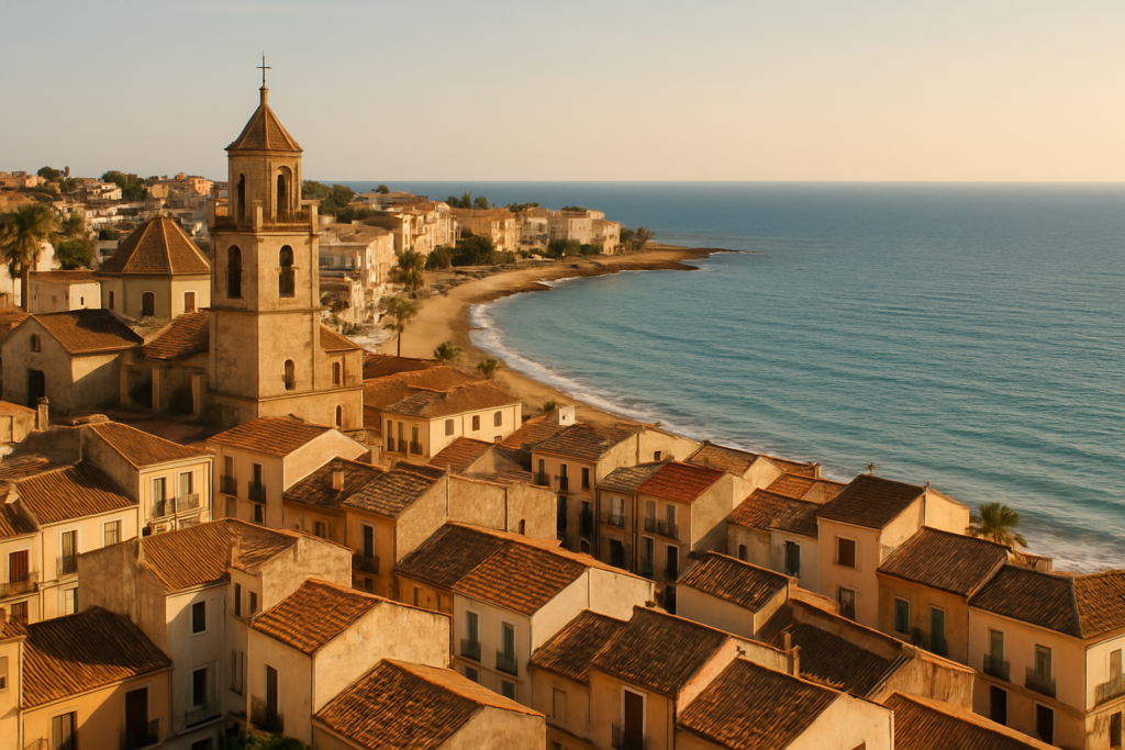
Fuente Álamo de Murcia at a glance
- Inland town and municipality in the Region of Murcia, southern Spain.
- Located about 35 km southwest of Murcia and 22 km northwest of Cartagena — convenient day-trip distances.
- Agriculture is the primary economic activity; the town has a strong farming identity.
- Average annual temperature roughly 18.9 °C; climate sits between hot desert and hot semi‑arid.
- Notable 16th-century parish church of San Agustín in the town centre.
- Surrounded by mountains (Algarrobo, Los Gómez, Los Victorias and Carrascoy) and lies in the Mar Menor basin.
- Population reported at 16,184 (useful for gauging services and atmosphere).
Things to do in the town
The agenda here is straightforward: wander the compact centre, visit the old parish church, and use the mountains and basin around the town for short outdoor excursions. This isn’t a place for long museum crawls or theme-park visits — it’s a good stop for people who enjoy quiet streets, local markets, and scenic hill walks.
| Attraction | What it is | Price/entry | Best for |
|---|---|---|---|
| Parish church of San Agustín | 16th‑century church in the town centre | — | history and architecture |
| Carrascoy mountains / Eagles Rock | Highest point in the area; rugged hills on the town’s edge | — | hiking, panoramas |
| Mar Menor basin | Lowland basin surrounding the area | — | landscape context, birdwatching from nearby viewpoints |
San Agustín: the town’s old parish
The 16th‑century parish church of San Agustín is the principal historic building explicitly noted in records. Its age and central location make it the natural focus for a short historical stroll through the streets. Expect a conventional Spanish parish plan and period architectural details rather than a large cathedral-scale complex.
The Carrascoy hills and Eagles Rock
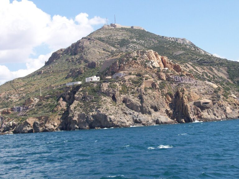
The town sits at the foot of several named ranges; the Carrascoy mountains are prominent and contain the area’s highest point, Eagles Rock, at 1,066 metres. These hills are the obvious option for anyone wanting short to medium-length walks, a change of scenery from the agricultural plain, and panoramic views back over the basin toward the Mar Menor.
Understanding the agricultural landscape
Agriculture is the primary economic activity, and that shapes what you’ll see: irrigated fields, greenhouses in nearby valleys, and a town rhythm keyed to planting and harvest seasons. Visiting local markets or any open‑air stalls will give a clearer sense of this economic reality; agricultural production is the lens through which much local life is organised.
Best beaches in the area
This is an inland farming town, not a beach resort. The municipality sits in the basin of the Mar Menor, and coastal access requires a drive toward the coast. If a beach day is essential, plan to travel out to Cartagena or the Mar Menor shore rather than expecting sand within the town itself.
How to get to the town and get around
Reaching the town is most practical by car; distances to regional hubs are modest and make it a feasible day trip from larger Murcian centres. Public transport options exist in this region of Spain, but services will reflect the town’s size and rural character, so schedules can be limited.
| From | By | Approx time |
|---|---|---|
| Murcia | Road | About 35 km southwest |
| Cartagena | Road | About 22 km northwest |
Because agriculture dominates the area, local roads are often used by farm vehicles; if you plan to drive, expect to share narrow lanes with tractors and occasional slow-moving machinery.
Where to stay
Accommodation choices in a town of this size tend to be small hotels, guesthouses, or rural rentals in outlying areas. Use the town centre for convenience to services and the parish church, or pick a farmhouse or rural cottage if you want more immediate access to fields and tracks in the surrounding countryside. The nearby mountains provide options for rural stays with views.
Best time to visit
Climate data describe an average annual temperature close to 18.9 °C and a transitional climate between hot desert and hot semi‑arid. Summers will be the hottest and driest; winters are mild. The agricultural calendar — planting and harvest — will influence rhythm and local events more than classic tourist seasons.
| Season | Months | What to expect |
|---|---|---|
| Spring | March–May | Comfortable temperatures for walks; fields are active with planting and growth. |
| Summer | June–August | Hot and dry; best for early-morning hill walks, avoid the midday heat. |
| Autumn | September–November | Harvest activity increases; pleasant weather for outdoor exploring. |
| Winter | December–February | Mild compared with northern Europe; fewer tourists and quieter town life. |
History of the town
The settlement has a long, sometimes turbulent administrative history. In 1700 King Charles II granted it independence, which was rescinded in 1702 under King Felipe V; it later regained full independence in 1820. The town experienced occupation in August 1823 when Napoleon’s troops entered the area. In the 20th century, the town received an honorary title — in 1966 it was awarded the epithet “Muy Noble y Muy Leal Villa” by General Francisco Franco. These milestones reflect a community shaped by regional power shifts and repeated administrative changes over centuries.
Practical info
Basic practical points drawn from verified facts:
- Population: the town had 16,184 residents according to available figures; expect modest local services in line with that size.
- Climate: with an average yearly temperature near 18.9 °C and a hot desert to semi‑arid transition, pack for warm weather most of the year and bring sun protection.
- Landscape and walking: the town lies in the Mar Menor basin and is surrounded by the Algarrobo, Los Gómez, Los Victorias and Carrascoy ranges — good for short hikes and viewing points.
- Transport: distances to Murcia (≈35 km) and Cartagena (≈22 km) make both cities reachable by road for services not found locally.
- Local economy: because agriculture is primary, expect agricultural traffic and periodic seasonal hustle around planting and harvest; local markets reflect this focus.
Worth it for: travellers who appreciate quiet inland towns, agricultural landscapes, short hill walks, and off-the-beaten-path Spanish life.
Less so if: you want beaches on the doorstep, lively nightlife, big museums, or resort-style services.
How we assess this guide
We compiled this guide from verified, cross-checked sources and official records. When a site or status was reported as closed or altered we flag it; otherwise we relied on confirmed facts such as climate figures, historical milestones, geographic relationships and the presence of notable buildings. We do not claim on-the-ground inspection in every instance; instead this is a synthesis of trustworthy references to set correct expectations for visitors.
Frequently asked questions
How do I get from Murcia to the town?
The town is situated about 35 km southwest of Murcia by road. Driving is the most direct option; public transport exists in the region but frequency and routes vary.
How far is it from Cartagena?
Cartagena lies roughly 22 km to the southeast by road. That proximity makes Cartagena a reasonable destination for coastal services, museums and larger-city amenities while staying in the town.
Is the town expensive to visit?
There are no specific cost figures in the verified data. The town’s agricultural economy and modest population suggest overall prices will be in line with smaller inland Murcian towns rather than coastal resorts.
Which is the best nearby beach?
The municipality sits in the basin of the Mar Menor; however, beaches are not in the town itself. For beaches, head toward Cartagena or the Mar Menor coastline by car.
How many days should I spend here?
A day or two is enough to explore the town centre, visit the 16th‑century parish church, and do a short walk in the nearby hills. Add more time if you plan to use it as a quiet base and to explore surrounding countryside and nearby cities.
Is it a good place for families with kids?
The town has a small-town atmosphere with open spaces and short hikes nearby. There are no large theme parks or major family attractions noted in verified sources; families who enjoy outdoor walks and a slow pace will find it pleasant.
Can I get around without a car?
Public transport options exist but will be limited compared with urban areas. Distances to Murcia and Cartagena are reasonable but public schedules should be checked in advance; for flexibility, driving is recommended.
Is parking easy in the town?
Specific parking details are not provided in the verified records. With a population of about 16,184 and a compact centre, expect typical small‑town parking patterns — roadside and town-centre spaces rather than large parking structures.
What can I do on a rainy day?
Verified sources do not list dedicated indoor attractions. On wetter days, use the time to visit the parish church of San Agustín, explore local shops and cafes, or drive to nearby Murcia or Cartagena for museums and indoor options.
When is the best time to visit for good weather?
Climate information shows an average annual temperature of about 18.9 °C and a transition between hot desert and hot semi‑arid climates. Spring and autumn provide comfortable conditions for walks and outdoor activity; summers are hot and dry.
Are there notable local historical events?
Yes. The town’s administrative status changed several times: it was granted independence by King Charles II in 1700, had that independence rescinded in 1702 by King Felipe V, regained full independence in 1820, and was occupied by Napoleon’s troops in August 1823. In 1966 it received the title “Muy Noble y Muy Leal Villa”.
What mountain views or hikes are available nearby?
The town is surrounded by several named ranges (Algarrobo, Los Gómez, Los Victorias and Carrascoy), with Eagles Rock in the Carrascoy mountains rising to 1,066 metres. These provide hiking and viewpoint possibilities close to town.
Is agriculture visible to visitors?
Yes. Agriculture is the principal economic activity in the area, and the landscape, local work rhythms and markets reflect that presence.
Will I need to speak Spanish?
There are no language‑related statistics in the verified information. As a small Murcian town with a farming economy, basic Spanish will help with local interactions and services.
Does the town have notable festivals?
Specific festivals were not included in the verified claims. Local celebrations typically follow regional and religious calendars in towns of this size; check local municipal sources when planning travel.
Plan the wider trip
Nearby on the Costa Cálida
Fuente Alamo De Murcia on the map
Places worth knowing near Fuente Alamo De Murcia

How this page is maintained. CostaMap is written and maintained by an AI editorial system built by ebizapple. Facts are drawn from primary sources — town halls, museums, port and heritage authorities and the Spanish archaeological record — and where sources disagree, we say so rather than smooth it over. Photographs marked as ours are taken on location. This page was last reviewed on 11 August 2026. Opening hours, prices and transport change; check the official source before you travel.