
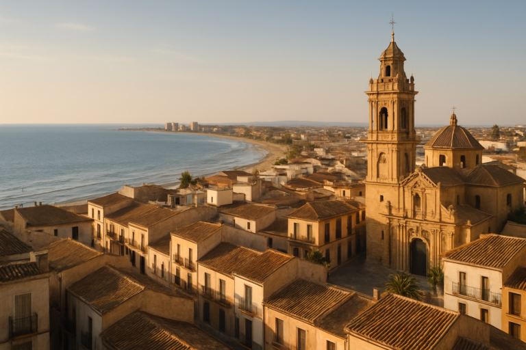
Águilas is a working port town at the south-western end of the Region of Murcia, with an 18th-century castle above the harbour, a February carnival of international fame and a coast of small coves. It suits travellers who want a Spanish seaside town rather than a resort strip: a walkable centre, quiet bays a short drive away and almost no package-holiday feel. It is a long way from the airport, so plan the transfer first. It is part of our Costa Cálida guide.
Quick facts
- Where: Águilas, Region of Murcia, the southernmost point of the region’s coast, with a coastal strip of 28 km according to the regional tourism site.
- Residents: about 37,400 according to the town’s own tourism site, which gives no reference year.
- Beaches: yes. The town tourist information counts 36 coves and beaches within the municipality.
- Nearest airport: Región de Murcia international airport at Corvera, 80 km by road (AP-7). Almería airport is 119 km by road and Alicante–Elche 189 km.
- Nearest big city: Cartagena, 80 km by road; Murcia city is 103 km; Lorca is 37 km.
- Climate: the tourist office quotes an average annual air temperature of 18 °C, a sea temperature of 20 °C and 3,200 hours of sun a year.
- Language: Spanish.
- Known for: the Carnival of Águilas, declared of International Tourist Interest, held in February.
Where to base yourself
Águilas is compact, and the choice is mostly between the town and the coves around it. We would pick by how much you want to walk to dinner.
The town centre and harbour
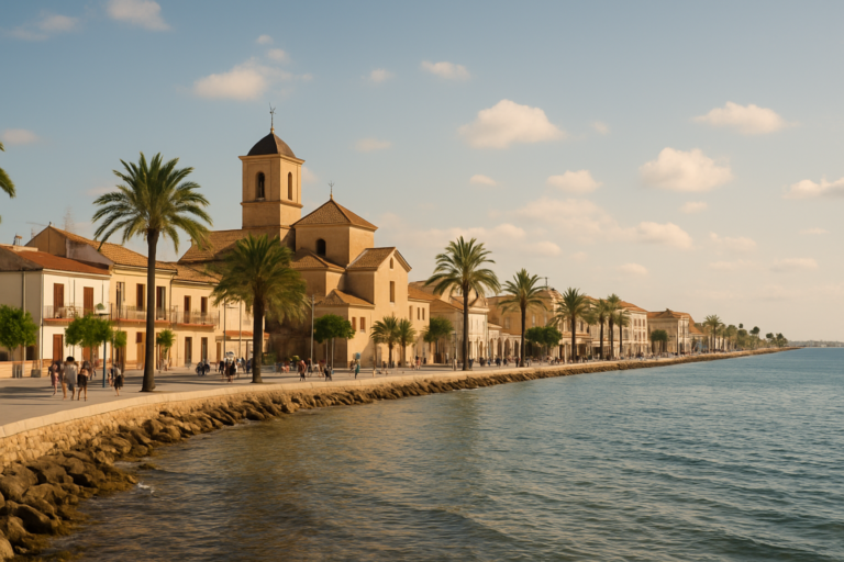
The old centre sits around the Plaza de España, where the 19th-century neo-Mudéjar town hall and the church of San José stand, according to the regional tourism site. The Casino, the archaeological museum and the castle path are all within walking distance of each other. This is the best base if you have no car, if you want evenings in bars and restaurants, or if you are using the bus connections. The urban beaches of Las Delicias, Poniente and La Colonia are listed by the regional tourism site as town beaches, so you can swim without leaving the centre.
El Hornillo
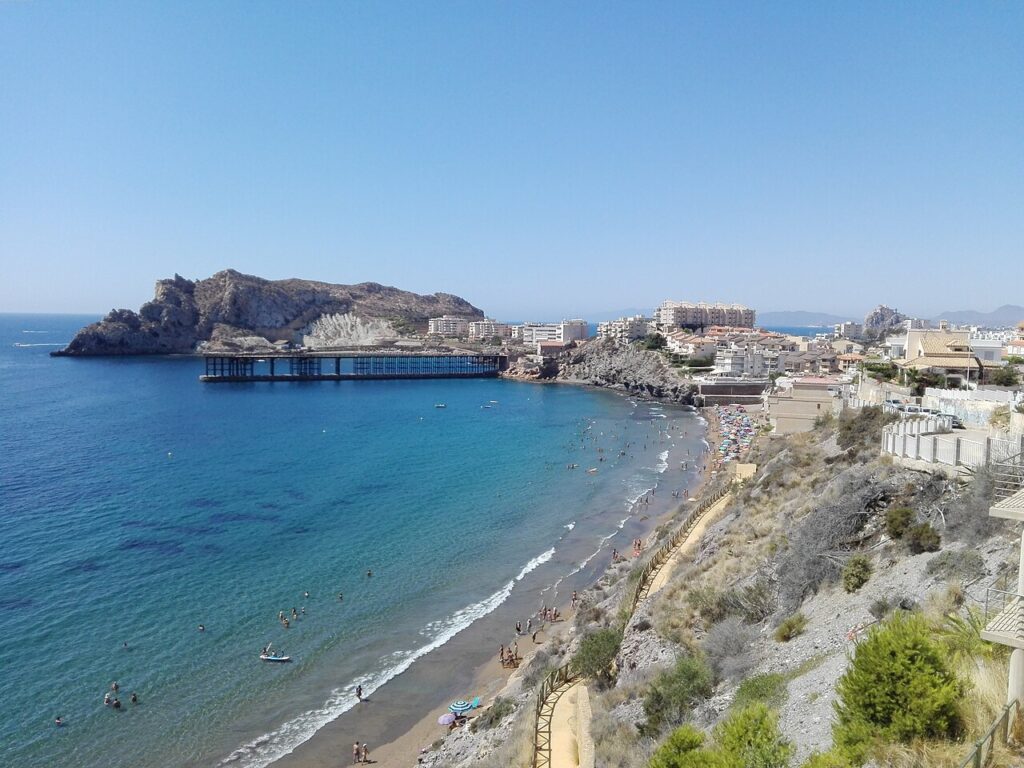
El Hornillo is the district where the old mining pier stands, and the regional tourism site lists its beach as an urban one. It is a quieter option for staying near the sea while keeping the railway-heritage walk on your doorstep. Treat it as a few minutes by car or a longer walk from the centre rather than a separate resort.
The coves and the Cabo Cope side
Calarreona, La Higuerica, La Carolina and Los Cocedores form the Cuatro Calas, a protected landscape. Further out are Calabardina and the Cabo Cope area, which belongs to a regional park. These are places to visit for the day or to stay in a rented house; for supermarkets, restaurants and the bus you would still head back to town. Plan on having a car if you choose this side.
Things to do
The town is small enough that its sights fit into a day, and the surrounding coast fills the rest of a week.
Castillo de San Juan de las Águilas
The castle stands on the headland of Punta Negra above the harbour. According to the Instituto de Turismo de la Región de Murcia, the fortification as it stands today dates from 1756, was designed by the military engineer Sebastián Feringán, and is protected as a Bien de Interés Cultural in the category of monument. It has three parts: the Fortress of San Juan on the western side, the gun battery of San Pedro to the east, and the forts of San José and San Felipe that link the two. The site was already used in prehistoric times, and Chalcolithic and Roman finds from it are recorded by the same source. Visiting is ticketed and the hours change with the season, so check the current schedule with the tourist office before you go.
The Carnival of Águilas
The carnival is declared of International Tourist Interest, and the town’s tourism site places it in February. Dates move from year to year, so look up the current programme at the tourist office rather than planning around a fixed week. If you want the carnival, book accommodation well ahead, because a town of this size fills quickly during big events.
Roman baths, museum and 19th-century town
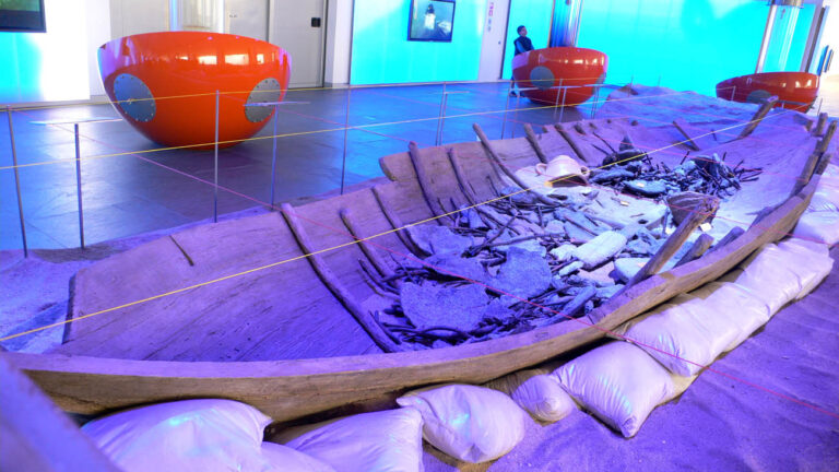
The regional tourism site dates the Roman remains in Águilas, including the Termas Romanas, to the 1st to 4th centuries. The town itself was officially founded as an independent municipality in 1766 on the initiative of the Count of Aranda, according to the municipal history page. In the 19th century mining drove the economy, and the same page links it to the railway, the port and a cultural revival with theatres and societies. The Casino, the church of San José and the Plaza de España date from that period of growth.
The Hornillo pier and the green way
Mining, the railway and fishing shaped the town from the 19th century onwards, and the former ore-loading docks can still be visited. The Vía Verde del Embarcadero del Hornillo is a 1.5 km route along the old railway between the end of Calle Papa Juan Pablo II and the pier, which the regional tourism site calls essential for understanding the area’s railway heritage. The same page notes that during the Spanish Civil War the tunnels served as workshops for railway-mounted artillery and two armoured trains. Access and restoration work can change, so confirm that the pier is open before planning a visit around it.
Walking, cycling and snorkelling
The town’s tourism site promotes walking routes, cycle touring, diving and snorkelling. A regional tourism blog adds that Águilas has two stages of the Eurovelo cycling network, stages 16 and 17, and that the clear water and fish-rich sea bed around Cabo Cope are good for snorkelling.
Beaches and places nearby
Águilas has 36 coves and beaches, and the tourist information describes the water as clear. Rather than ranking them, it helps to sort them by type, using the regional tourism site’s own labels.
Town beaches
Las Delicias, Poniente, La Colonia and El Hornillo are listed as urban beaches. Several of them are listed as accessible for people with reduced mobility, and Las Delicias, Poniente and La Colonia hold the Q de Calidad tourism quality mark. Check the official listing for current services and flag status before you travel, since these change each season.
The Cuatro Calas
Las Cuatro Calas is a protected area made up of four beaches: Calarreona, La Higuerica, La Carolina and Los Cocedores. A regional tourism blog says wind and sea erosion have shaped its layers of volcanic rock. On the regional site, Los Cocedores and La Higuerica are labelled as natural settings, La Carolina as semi-urban, and La Higuerica is part of the smoke-free beach network.
Wilder coves
Several other beaches in the municipality are described as natural. Cala La Tortuga is reached by a trail, Playa del Barranco de la Mar is called an isolated natural beach, and Calabarrilla is a cove with difficult access. Pet-friendly beaches in the municipality include Cala Mijo and Playa de la Cañada del Negro at Cocón, and Playa del Arroz.
Further afield
Cabo Cope and Calnegre make up a regional park of cliffs and hidden coves, with walking routes. By road, Lorca is 37 km away, Puerto de Mazarrón is 40 km (see our Mazarrón guide), Mojácar is 48 km and Cartagena is 80 km, according to the town’s data page. Almería lies 127 km to the south-west, so Águilas works as a base at the edge of two regions.
Other town guides nearby: Huércal-Overa (about 32 km in a straight line), Garrucha (about 34 km in a straight line), Mojácar (about 38 km in a straight line).
Food and drink
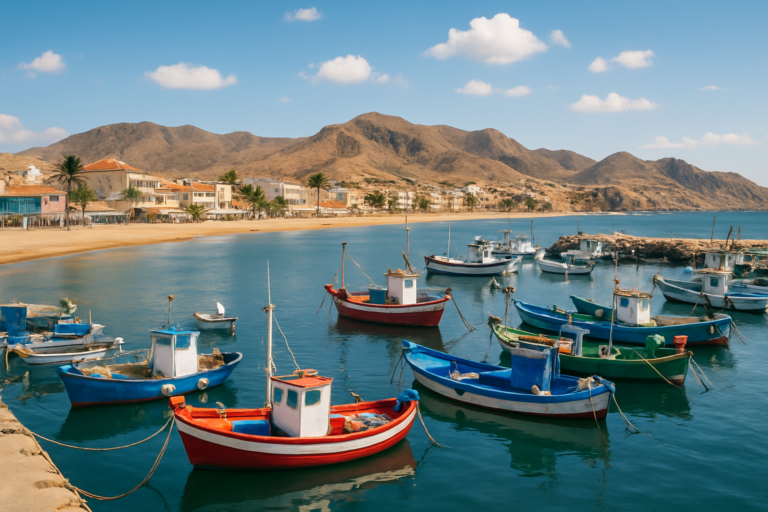
The regional tourism site lists the red prawn (gamba roja), red mullet (salmonete), sea bass (lubina), gilt-head bream (dorada), tomato and caper as the signature products of Águilas. A regional tourism blog describes the cooking as Mediterranean, built on sea and garden produce. In practice that means grilled and baked fish in harbour restaurants, rice dishes and tomato salads, and capers on the table as a local touch.
We did not find a market day on the official pages we read, so ask at the tourist office for the current day and place. For restaurants, the best approach is the simple one: eat near the harbour, ask what came in that day and choose it. We name no restaurants because we have no source for them.
Where to stay
Águilas has town hotels, apartments and rented houses along the coast. We could not read current prices from an official source, so we give none. As a rule, the centre and the harbour have the widest choice of hotels and apartments, the coves have houses and holiday lets, and everything fills up around carnival and in high summer. If you want a seafront apartment for a family week, book months ahead and compare listings directly. Check cancellation terms before you pay.
Getting there and around
The distances below are by road, from the town’s own data page.
- Fly: Región de Murcia international airport at Corvera is 80 km away by the AP-7. Almería airport is 119 km and Alicante–Elche is 189 km. Most visitors hire a car at the airport.
- Train and bus: Renfe buses replace the Cercanías train on the line between Águilas, Lorca and Murcia. According to a news report from July 2025, the Águilas to Lorca Sutullena leg takes 1 hour 25 minutes with stops at small stations, and the full trip from Águilas to Murcia takes at least 2 hours 40 minutes. Timetables change, so check Renfe before you travel.
- Local transport: the town tourism site mentions an urban bus and a taxi service but publishes no routes or fares.
- Car: the road distances to Murcia (103 km), Cartagena (80 km) and Lorca (37 km) make a car the simplest way to reach the Cuatro Calas and Cabo Cope.
- Tourist office: Plaza de Antonio Cortijos, phone +34 968 493 285.
We found no official information on parking, so expect to look for it on the edge of the old centre in busy periods.
Best time to visit
The tourist office quotes an average annual temperature of 18 °C and an average sea temperature of 20 °C, and describes the climate as dry and temperate with little rainfall, with 3,200 hours of sun a year. That makes spring and autumn easy for walking and the coastal trails, while summer is the time for swimming and the beach routine. The only event we give a month for is the carnival, in February. Many other fiestas, verbenas and pilgrimages are held in the town, but the municipal page we read lists no names or dates for them, so check the agenda on the town’s tourism site for the current year.
FAQ
Is Águilas worth visiting?
Yes, if you want a Spanish port town with a castle, a historic centre and many small coves. It is less convenient if you need to be close to an airport or want nightlife on a large scale.
How far is Águilas from Murcia airport?
The town’s data page gives 80 km by road to Región de Murcia international airport at Corvera, via the AP-7.
Does Águilas have good beaches?
It has 36 coves and beaches according to the town’s tourist information, from urban beaches in the centre to protected coves such as the Cuatro Calas. The regional tourism site labels each by type, so choose by what you want: services in town, or a natural setting further out.
When is the Carnival of Águilas?
The town’s tourism site places it in February. It is declared of International Tourist Interest. Check the agenda for the exact dates of the current year.
Can I get to Águilas by train?
Not directly in the sense of a rail service: Renfe runs buses in place of the Cercanías train between Águilas, Lorca and Murcia, with a journey of at least 2 hours 40 minutes to Murcia according to a July 2025 report.
Sources and freshness
Last checked: October 2026. Sources: Ayuntamiento de Águilas, datos de interés (population, distances, climate figures, 36 coves); Ayuntamiento de Águilas, historia (1766 foundation, mining); Ayuntamiento de Águilas, fiestas (carnival); Ayuntamiento de Águilas, organiza tu viaje (tourist office); Instituto de Turismo de la Región de Murcia, San Juan de las Águilas castle; Turismo Región de Murcia, Águilas (28 km coastal strip, food, Roman remains); Turismo Región de Murcia, playas de Águilas; Turismo Región de Murcia, Vía Verde del Embarcadero del Hornillo; Turismo Región de Murcia blog, what to see in Águilas; La Actualidad, Renfe buses Águilas–Lorca–Murcia (July 2025).
Main photo: Mromsan, CC BY-SA 4.0, via Wikimedia Commons.
Nearby on the Costa Cálida
Águilas on the map
Places worth knowing near Águilas

This place is part of our Costa Cálida — the honest guide to Spain's warm coast — see every town, beach and cove we have mapped on that coast.
How this page is maintained. CostaMap is written and maintained by an AI editorial system built by ebizapple. Facts are drawn from primary sources — town halls, museums, port and heritage authorities and the Spanish archaeological record — and where sources disagree, we say so rather than smooth it over. Photographs marked as ours are taken on location. This page was last reviewed on 26 October 2026. Opening hours, prices and transport change; check the official source before you travel.