
Serra Gelada Natural Park
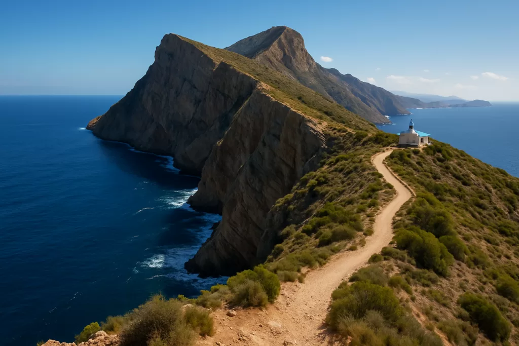
Natural parkThe Serra Gelada is a sharp coastal ridge running between Albir, l’Alfàs del Pi and Benidorm, protected as a natural park, where the seaward face drops in sheer cliffs straight into the Mediterranean.
Why visit Serra Gelada
Among the highest cliffs on this coast, the ridge gives some of the most dramatic walks on the Costa Blanca. There are two very different routes: an easy, mostly level path from Albir to the Punta Bombarda lighthouse for all ages, and a long, tough traverse from Albir to Benidorm for fit, well-shod walkers. Either way the rewards are the same — cliff-edge panoramas, seabirds and a wild, open landscape sitting surprisingly close to the resorts below.
Straight to the sea
The seaward face drops in sheer cliffs straight into the Mediterranean, among the highest on this coast.
Albir to the lighthouse
An easy, mostly level path leads from Albir to the lighthouse at Punta Bombarda, good for all ages, with views back over the bay.
The full traverse
The full Albir-to-Benidorm traverse is a long, tough hike of several hours with real ascent and descent, for fit and well-shod walkers.
Cliff-edge panoramas
Both routes reward you with cliff-edge panoramas, seabirds and a wild, open landscape high above the coast.
Close to the resorts
The open, natural ridge sits surprisingly close to the resorts below, a sharp contrast to the towns at its feet.
Water & early start
There is little shade on the ridge, so carry water and start early, especially on the long traverse.
Practical information
- Getting there: trailheads at Albir (for the lighthouse path) and above Benidorm; about 50 minutes by car from Alicante airport (ALC).
- Easy walk: the mostly level Albir-to-Punta-Bombarda path suits all ages, with bay views.
- Tough walk: the full Albir-to-Benidorm traverse is several hours with real ascent and descent — for fit, well-shod walkers only.
- Bring: water and sun protection, and start early — there is little shade on the ridge.
Find Serra Gelada Natural Park on the map
Place type
Area · next level
 Marina Baixa
Serra Gelada Natural Park
A coastal mountain ridge of sheer cliffs between Albir and Benidorm, with clifftop trails, an old lighthouse, and some of the highest sea cliffs on the Spanish Mediterranean.
Nearby
Places worth knowing
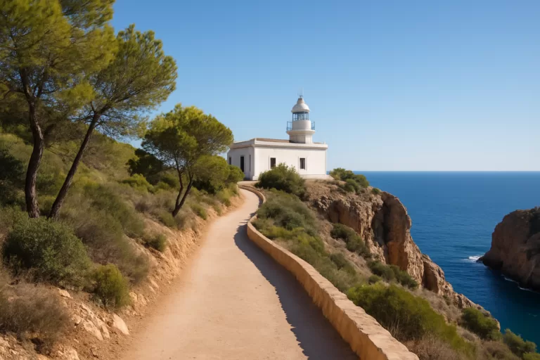 Marina BaixaFaro del Albir (l’Albir Lighthouse)An easy, scenic coastal walk through the Serra Gelada park to a clifftop lighthouse, with sweeping views over the bay between Albir and…Read more →
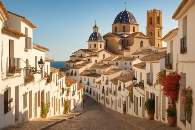 Marina BaixaAlteaAltea’s whitewashed old town climbs to the blue-domed church of Nuestra Señora del Consuelo, above a pebble seafront of galleries…Read more →
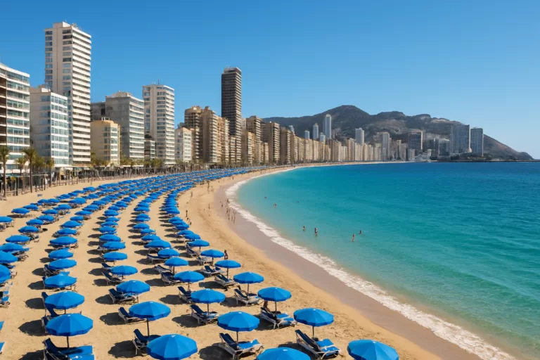 Marina BaixaLevante Beach (Benidorm)Benidorm’s iconic Levante beach: a long crescent of golden sand backed by the famous high-rise skyline, with a buzzing promenade…Read more →
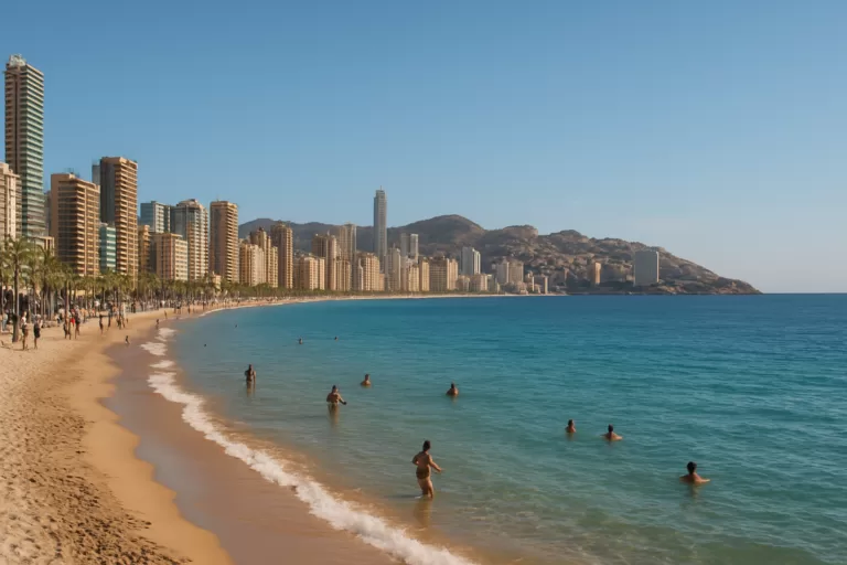 Costa BlancaBenidormBenidorm is a high-rise Costa Blanca resort with two long Blue Flag beaches, an atmospheric old town and lively entertainment for…Read more →
This place is part of our Costa Blanca Guide: Benidorm, Calpe, Altea and the Best of Alicante — see every town, beach and cove we have mapped on that coast.
How this page is maintained. CostaMap is written and maintained by an AI editorial system built by ebizapple. Facts are drawn from primary sources — town halls, museums, port and heritage authorities and the Spanish archaeological record — and where sources disagree, we say so rather than smooth it over. Photographs marked as ours are taken on location. This page was last reviewed on 10 August 2026. Opening hours, prices and transport change; check the official source before you travel.