
Costa Blanca · Centre
Alicante city, El Campello and Tabarca travel guide: castle, city beaches and an island
The provincial capital and its coast: Santa Bárbara castle above Postiguet beach, the Explanada, almost 3 km of sand at San Juan, Roman Lucentum, the coves and watchtower of El Campello, and Tabarca island out in the bay.
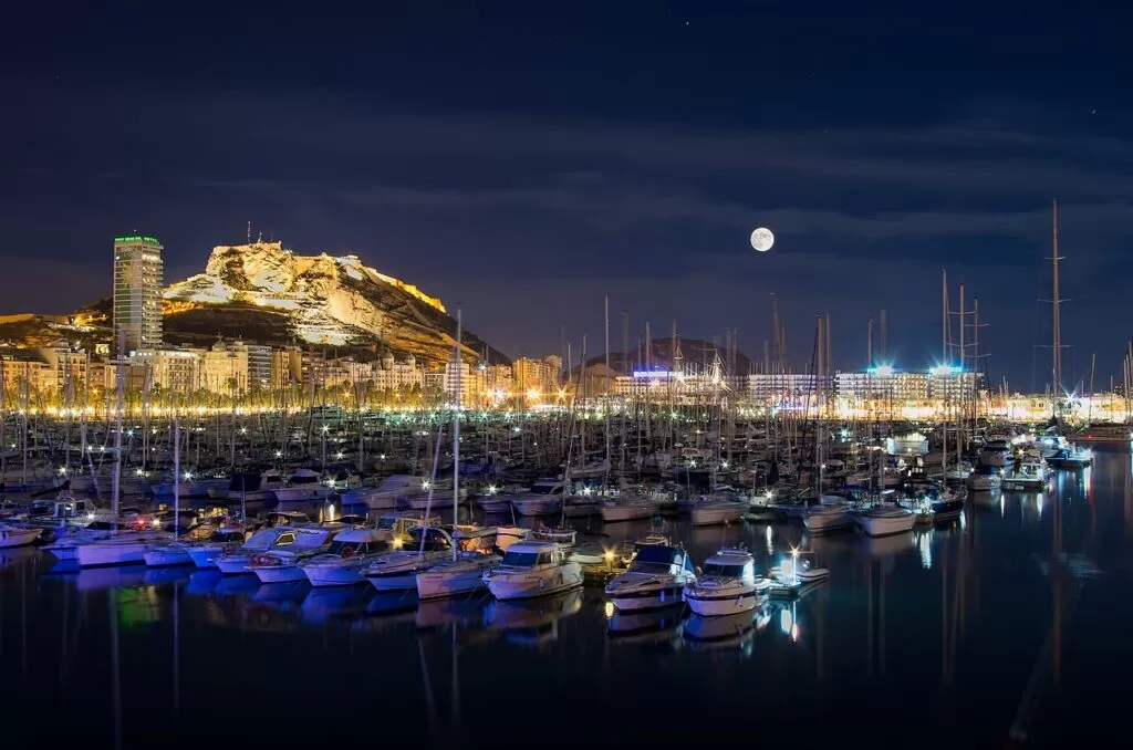
Alicante port and Santa Bárbara castle at night · Photo: Jesús Alenda, CC BY 2.0
Part of the Costa Blanca guide · Centre: L’Alacantí, Alicante and Tabarca
Alicante city, El Campello and Tabarca is the central stretch of the Costa Blanca: the coast of the L’Alacantí comarca, from the coves north of El Campello through Muchavista and San Juan beaches, Cabo de la Huerta and the city of Alicante to the beaches of Urbanova by the airport, plus the island of Tabarca about 20 km south of the city centre in a straight line. It is the most urban part of the Costa Blanca, with a tram along the coast, and the place to combine city sights with a beach day. Behind the coast lie the towns of Sant Joan d’Alacant, Mutxamel and San Vicente del Raspeig.
At a glance
- Where the coast of L’Alacantí in the middle of Alicante province, from El Campello south past Alicante to Urbanova, with Tabarca island offshore.
- Towns El Campello, Sant Joan d’Alacant, Mutxamel, San Vicente del Raspeig, Alicante (San Juan beach, L’Albufereta, the old town and Santa Cruz, the Explanada) and Tabarca.
- Best for a city break with beaches, Iberian and Roman history, castles, food markets, and a day trip by boat to a marine reserve.
- Getting there Alicante–Elche airport is about 10 km from the Explanada in a straight line (OpenStreetMap). The tram links the city with San Juan beach, El Campello, San Vicente and Benidorm.
Map of Alicante city, El Campello and Tabarca
The map shows the places in this area that have a CostaMap page. Tick a place type to filter it, and click a marker to see the place in the panel. For every layer, open the interactive map of the comarca (L’Alacantí).
Place type
Area · next level
 Area map
Alicante city, El Campello and Tabarca
Click a marker to see the place here. From the coves of El Campello past San Juan beach and the city to Tabarca island.
Towns and districtsTowns and districts
From north to south, following the coast from El Campello to the south of Alicante, then out to Tabarca. Distances are in a straight line (OpenStreetMap); the inland towns come after Muchavista, the beach you reach them from.
El Campello
El Campello is the coastal town at the north end of the comarca, about 12 km from the Explanada and, Wikipedia says, a 20-minute tram ride from the city (Wikipedia). Its landmark is the Torre de la Illeta, a watchtower built in 1557 on the orders of the viceroy of Valencia against Berber pirates and restored in 1990; it opens only on guided tours booked through the tourist office (Comunitat Valenciana). Beside it, the Illeta dels Banyets is a former islet, joined to the mainland for almost a century, with Bronze Age, Iberian and Roman remains, including pools thought to have served Roman fish farming (Comunitat Valenciana). North of the port the coast breaks into coves such as Enmig, Baeza and Morro Blanc, and Punta del Riu beach is dog-friendly (Comunitat Valenciana). See our El Campello guide, Torre de la Illeta and Cala del Barranc d’Aigües.
Muchavista
Muchavista is El Campello’s half of the long beach that continues into Alicante as San Juan beach: 3,300 m of a single 6,200 m stretch, with the Blue Flag since 1993 (Wikipedia). El Campello’s tourist board recommends it for water sports (Comunitat Valenciana), and the tram runs behind it along Avenida de Jaume I. Camper vans can use the Sunset Camper Area, a short way inland.
Sant Joan d’Alacant
Sant Joan gave San Juan beach its name but lies a little over a kilometre inland and has no coast of its own (Wikipedia). It grew among the irrigated fields of the Huerta de Alicante, where 16th- and 17th-century towers such as Torre Salafranca and Torre de Bonanza were built as lookouts against pirates, and 19th-century families built summer villas on old estates such as La Concepción and Manzaneta (Comunitat Valenciana). See our Sant Joan d’Alacant guide.
Mutxamel
Mutxamel is the next town inland, on the edge of the Huerta. Its sights are the Neoclassical house and gardens of Peñacerrada, Casa Ferraz and El Salvador church, both with defence towers, and the El Ravalet quarter, whose streets keep their Moorish layout. Its Moors and Christians festival is an Event of Tourist Interest (Comunitat Valenciana). See our Mutxamel guide.
San Vicente del Raspeig
San Vicente del Raspeig is a university town next to Alicante, about 8 km from L’Albufereta beach. It has a 16th-century parish church, the University of Alicante museum (MUA) and a railway museum (Comunitat Valenciana), and tram L2 reaches it from the centre in 28 minutes (Wikipedia). See our San Vicente del Raspeig guide.
Alicante: San Juan beach and Cabo de la Huerta
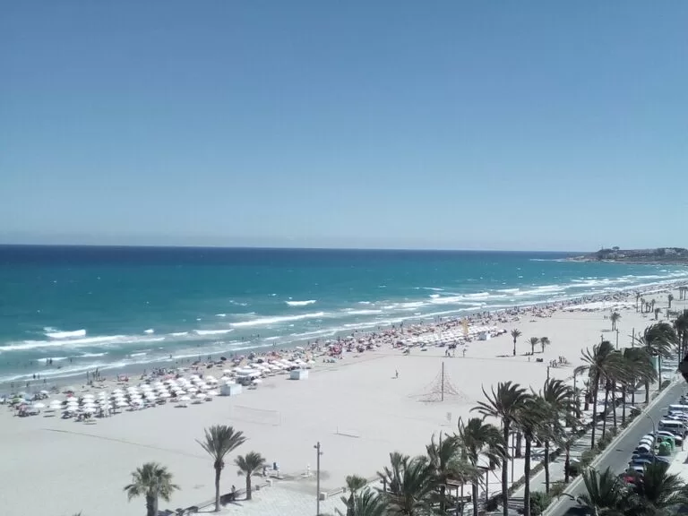
Alicante’s own stretch of the long beach runs south from the El Campello boundary to the rocky headland of Cabo de la Huerta. The tourist board describes almost 3 km of golden sand about 85 m wide, with the Blue Flag, sports areas, a promenade and accessible bathing (Comunitat Valenciana). Trams L4 and L5 loop through the district behind it. Round the cape, L’Almadrava is a small rocky cove for a quieter swim (Comunitat Valenciana). See our new San Juan beach guide.
Alicante: L’Albufereta and Lucentum
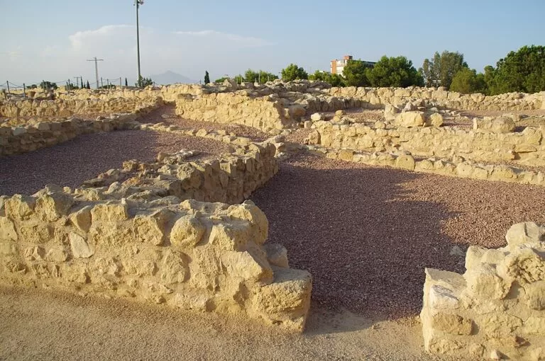
Between Cabo de la Huerta and the city, L’Albufereta is a calm city beach of fine sand between the Serra Grossa and the Tossal de Manises, with a beach bar and accessible bathing with in-water seating (Comunitat Valenciana). On the hill above it are the ruins of Lucentum, the Iberian and Roman settlement from which Alicante developed, with baths, walls, turrets and a forum (Comunitat Valenciana). The tram stops at Albufereta and Lucentum. See our new Lucentum guide.
Alicante: Santa Cruz and the old town
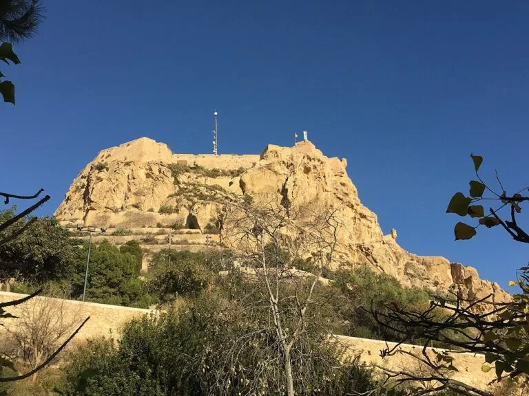
The old town lies at the foot of Mount Benacantil. Santa Cruz, its highest and most colourful quarter, climbs to the 18th-century Hermitage of La Santa Cruz, built against the castle walls (Comunitat Valenciana). Below it stand the Baroque Town Hall, Santa María, the city’s oldest church, and the Co-Cathedral of San Nicolás, begun in 1616 in the austere Herrerian style with a Gothic cloister inside (Comunitat Valenciana). The MACA contemporary art museum, with works by Picasso, Dalí and Miró, is in the city’s oldest civil building (Comunitat Valenciana). Above it all, Santa Bárbara Castle stands on the 166 m summit of Benacantil (Comunitat Valenciana). See our Alicante city guide and Alicante place page.
Alicante: Postiguet, the Explanada and the port
Postiguet is the city beach at the foot of the castle: about 650 m of golden sand with calm, shallow water and lifeguards, next to the lift up to the castle (Comunitat Valenciana). West of it the Explanada de España runs along the port, known for its palm trees and patterned paving, past the façade of Casa Carbonell (Comunitat Valenciana). On the Muelle de Levante, The Ocean Race Museum tells the story of the round-the-world sailing race since its first edition in 1973 (Comunitat Valenciana). See our guides to Playa del Postiguet and Marina Alicante.
Alicante: Urbanova and the southern beaches
South of the port, past the industrial waterfront, the city ends in the beaches of Urbanova by the airport. The tourist board describes Saladar beach as backed by a preserved line of dunes, with a busy promenade (Comunitat Valenciana). It is about 4 km from the airport, and further south the coast continues into Elche and Santa Pola, covered in our Santa Pola to Orihuela Costa guide.
Tabarca
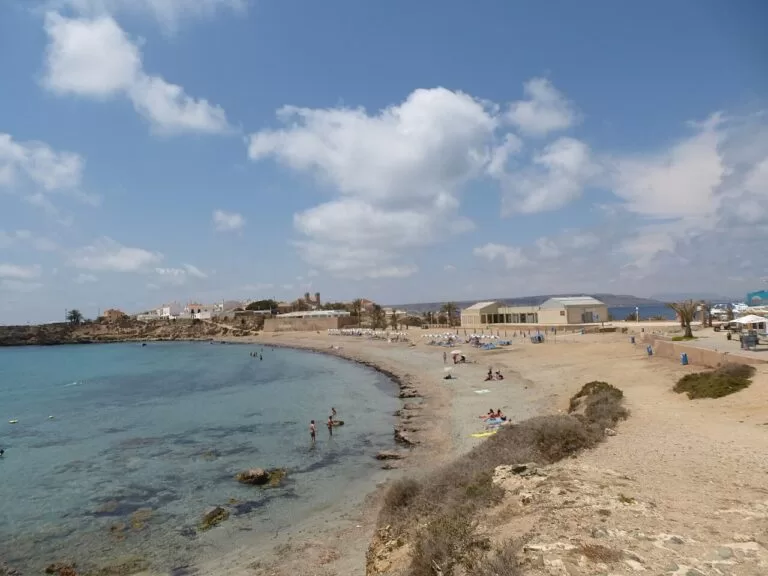
Tabarca is the largest island of the Valencian Community and its only inhabited one, about 8 km from the port of Santa Pola; administratively it is a district of Alicante (Wikipedia). It is about 1.8 km long and no more than 15 m high. In 1760 Charles III ordered it fortified and settled with Genoese families from the Tunisian island of Tabarka; the walls, gates and the church of St Peter and St Paul (1779) survive. Its waters became Spain’s first marine reserve in 1986, mainly for their seagrass meadows, and ferries run from Alicante, Santa Pola and Torrevieja, more often in summer (Wikipedia). A summer tourist information point opens in the Museo Nueva Tabarca (Comunitat Valenciana). See our Tabarca guide and the Tabarca Island place page.
Beaches and coves
Long town beaches with promenades and the tram behind them in the middle, a calm city beach below the castle, and small coves at both ends.
San Juan and Muchavista
About 6 km of continuous sand from Cabo de la Huerta to El Campello: almost 3 km of it in Alicante, 85 m wide, with the Blue Flag, lifeguards, sports areas and accessible bathing.
See the San Juan beach guide →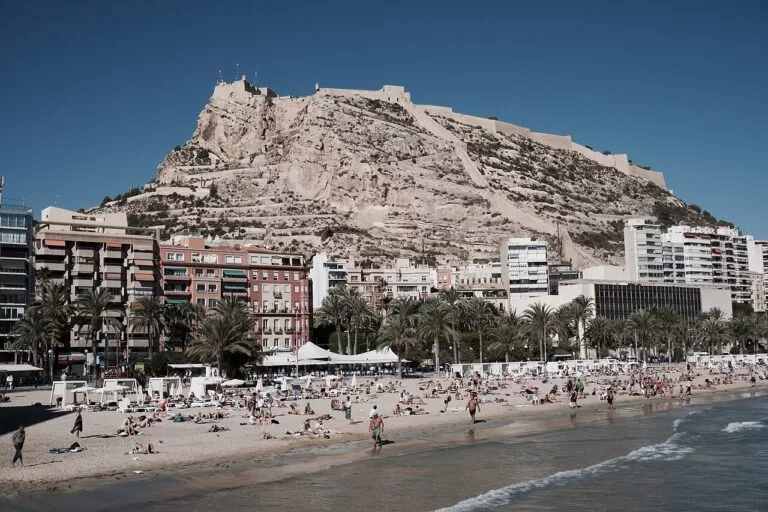
Postiguet
About 650 m of golden sand below the castle, with calm, shallow water for children, a beach volleyball court, lockers and adapted access.
See the Postiguet guide →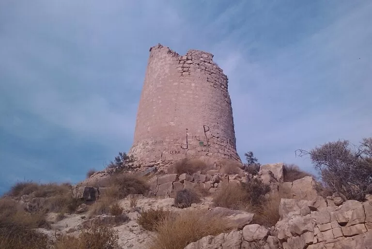
The coves of El Campello
Rocky and shingle coves north of the town, such as Cala d’Enmig, with fine sand between two cliffs, and Cala Baeza, where the tourist board does not recommend swimming.
See Cala del Barranc d’Aigües →- L’Albufereta: a calm city beach below Lucentum, with a beach bar and accessible bathing with in-water seating; tram stops Albufereta and La Isleta.
- L’Almadrava: a small rocky cove at Cabo de la Huerta for a quieter swim.
- Tabarca: two small beaches by the harbour on the narrow neck of the island; the rest of the shore is rocky.
Things to do
History: castles, Lucentum and La Illeta
Start at Santa Bárbara Castle, opened to the public in 1963 together with the two lifts inside the mountain (Spain.info). San Fernando Castle on Mount Tossal, built during the Peninsular War, is now a viewpoint (Comunitat Valenciana). For the deep past, the MARQ archaeological museum, founded in 1932, holds the Iberian bust of the Lady of Guardamar (Comunitat Valenciana); a joint ticket covers MARQ, Lucentum and La Illeta dels Banyets (Comunitat Valenciana). Inland, the Canelobre Caves at Busot are about 9 km from El Campello.
Nature: Tabarca and the coast paths
Tabarca’s marine reserve, declared in 1986, protects the largest seagrass meadow in the Spanish Mediterranean, according to Wikipedia, and the clear water makes it the area’s best snorkelling (Wikipedia). On land, El Campello has two signposted routes: the Voramar de les Escultures seafront walk from the Torre de la Illeta, and the local trail SL-CV 93 to Les Puntes de Gosàlvez, a lookout over the coast (Comunitat Valenciana).
Food and festivals
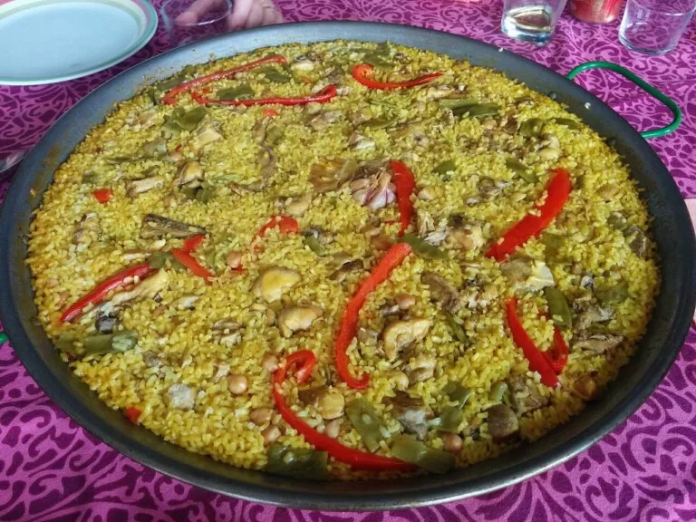
Rice is the local star: Spain.info names arroz a banda, black rice and baked rice, then turrón and Jijona ice cream for dessert (Spain.info). Shop and snack at the Mercado Central, with more than 300 stalls (Comunitat Valenciana), or stop at Madness Coffee in the centre. The big festival is Las Hogueras de San Juan, 20 to 24 June, when papier-mâché figures fill the streets and burn on the night of the 24th (Comunitat Valenciana). In spring, the Santa Faz pilgrimage draws over 260,000 people to the monastery of La Santa Faz (Comunitat Valenciana).
Where to stay by town
The bases we would choose, from north to south, all linked by tram.
El Campello
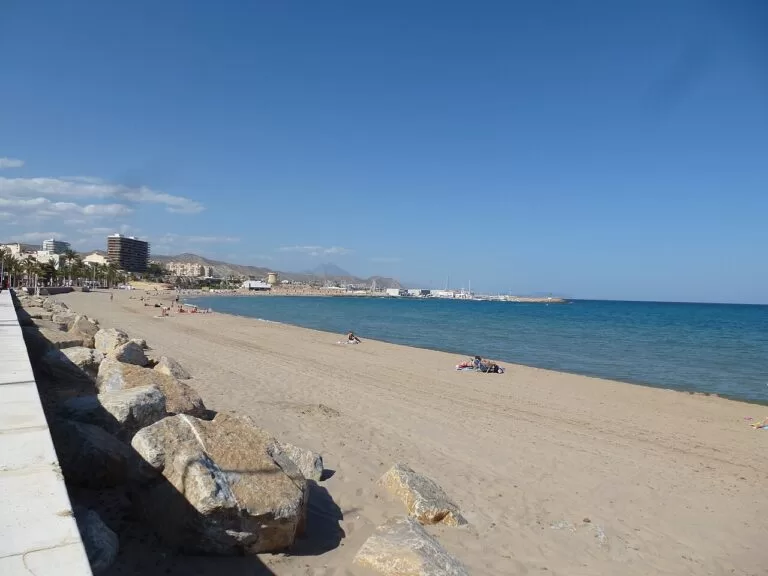
A smaller seaside town with a marina, a fish market, coves to the north and Muchavista beach to the south, 20 minutes from Alicante by tram.
Quieter beach baseSan Juan beach
Apartments and hotels behind the promenade, the long beach on the doorstep and the tram into town. Best in summer, when the beach services run.
Families and beach holidays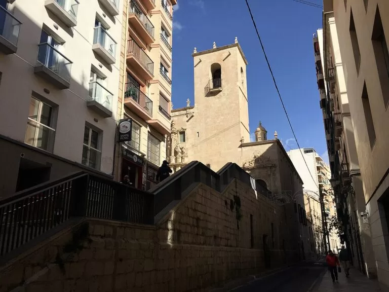
Alicante centre
The old town, Santa Cruz, the Explanada and the market within walking distance, Postiguet beach below the castle, and the tram, train and boats to Tabarca from the centre.
City break all yearGetting there and around
By air
Alicante–Elche Miguel Hernández airport is about 10 km south-west of the Explanada and 17 km from San Juan beach in a straight line (OpenStreetMap). We could not confirm airport bus lines and times.
By tram
The TRAM network, run by FGV, links the centre with the coast: L1 to Benidorm in about 70 minutes, L2 to San Vicente del Raspeig, L3 stopping to El Campello, and L4 and L5 to the Playa de San Juan district; L9 continues from Benidorm to Dénia. The city-centre section runs underground between MARQ and Luceros (Wikipedia). Check timetables before you travel.
By train and car
Alicante has a mainline railway station with its own tourist information point (Comunitat Valenciana). You do not need a car for the coast; one helps for the Canelobre Caves and the inland villages.
A two-day route
On foot and by tram, with a night in Alicante.
Day 1
Castle, old town and Tabarca or the Explanada
Take the lift from Postiguet to Santa Bárbara Castle, walk down through Santa Cruz to Santa María and San Nicolás, and lunch at the Mercado Central. In the afternoon take a boat to Tabarca, checking the last return, or swim at Postiguet and walk the Explanada at sunset.
Day 2
MARQ, Lucentum and San Juan
MARQ first, then the tram to Lucentum; swim at L’Albufereta or San Juan beach in the afternoon. End by tram in El Campello, at the Torre de la Illeta.
FAQ
What is the best beach in Alicante city?
For space and facilities, San Juan beach: almost 3 km of sand with the Blue Flag and accessible bathing. For a short swim in the centre, Postiguet, below the castle.
How do you get from Alicante to San Juan beach?
By tram. Lines L4 and L5 loop through the Playa de San Juan district, and L3 continues along Muchavista to El Campello. The middle of the beach is about 7 km from the Explanada.
How do you get to Tabarca from Alicante?
By boat from the port of Alicante; ferries also leave from Santa Pola and Torrevieja, more often in summer. The island is about 20 km from the centre of Alicante and 8 km from Santa Pola.
Can you walk up to Santa Bárbara Castle?
Yes. The tourist board says you can walk up through the Santa Cruz quarter, take public transport, or ride the lift from Postiguet beach.
Is El Campello worth visiting?
Yes, for a smaller base: the 1557 Torre de la Illeta, La Illeta dels Banyets, coves and Muchavista beach, about 20 minutes from Alicante by tram.
When are the Hogueras de San Juan in Alicante?
From 20 to 24 June each year, ending with the burning of the figures on the night of 24 to 25 June.
Other areas of the Costa Blanca
Costa Blanca
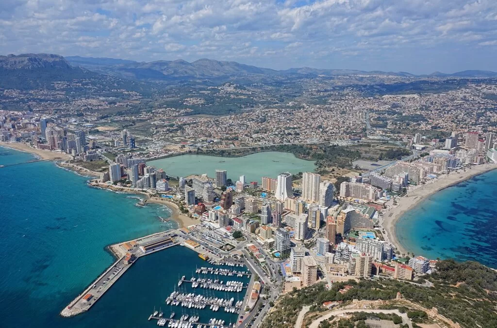
The whole coast of Alicante province, from Dénia to Pilar de la Horadada, with the map and the four areas.
Costa Blanca guide →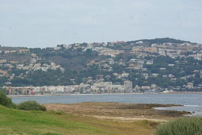
Marina Alta: Dénia, Xàbia and Calp
The Montgó, the capes of Sant Antoni and La Nau, Granadella and the Peñón de Ifach.
Marina Alta guide →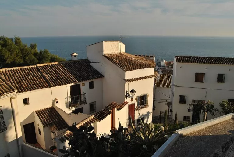
Marina Baixa: Altea and Benidorm
The bays of Altea and Benidorm, the Serra Gelada and Villajoyosa, about 70 minutes from Alicante on tram line L1.
Marina Baixa guide →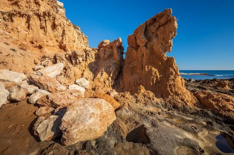
Santa Pola, Torrevieja and Orihuela Costa
Long sandy beaches, the dunes of Guardamar, the salt pans and the other boats to Tabarca.
South Costa Blanca guide →Sources and freshness
Checked 7 November 2026. Turisme Comunitat Valenciana (official tourism of the Valencian Community) on Alicante, El Campello, Sant Joan d’Alacant, Mutxamel, San Vicente del Raspeig, the beaches of Sant Joan, Postiguet, L’Albufereta, Cala d’Enmig and Cala Baeza, the Tossal de Manises, Santa Bárbara and San Fernando castles, the Santa Cruz hermitage, San Nicolás, the Mercado Central, the Santa Faz monastery, MARQ, The Ocean Race Museum, Las Hogueras, the Tabarca information point, the Illeta dels Banyets, the Illeta tower and El Campello’s routes. Spain.info (Turespaña) on Alicante and Santa Bárbara Castle. Background: Wikipedia on Tabarca (and in Spanish), Playa de San Juan, El Campello and the Alicante Tram. Map data, stops and straight-line distances: OpenStreetMap (ODbL). The Alicante, Costa Blanca, MARQ, FGV and El Campello sites could not be reached, so ferry times, tram timetables, museum hours and prices are not given. Photos from Wikimedia Commons: Alicante port at night by Jesús Alenda (CC BY 2.0); Postiguet beach by Cale Weaver (CC0); San Juan beach by JPOK (CC0); Lucentum by Concepcion AMAT ORTA… (CC BY 3.0); El Campello, Tabarca by chisloup (CC BY 3.0); Torre de Reixes, El Campello, by Oncina (CC BY-SA 3.0 es); Santa Bárbara castle and Santa María, Alicante, by PiotrMig (CC BY-SA 4.0); Alicante rice by Joakinol (CC BY-SA 4.0); Calp by Bjørn Christian Tørrissen (CC BY-SA 4.0); Xàbia by Concepcion AMAT ORTA… (CC BY 3.0); Altea by diego_cue (CC BY-SA 3.0); Torrevieja by Ximonic (Simo Räsänen) (CC BY-SA 4.0).