
Costa del Azahar · Baix Maestrat
Vinaròs and Benicarló travel guide: the northern Costa del Azahar
Fishing ports and king prawns, the coves of the Vinaròs north coast, Benicarló’s artichokes and Iberian hilltops, and the olive-tree villages of the Baix Maestrat.
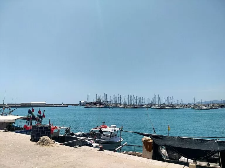
Port de Vinaròs · Photo: Millars, CC BY-SA 4.0
Part of the Costa del Azahar guide · North: Vinaròs and Benicarló
The northern Costa del Azahar is the coast of Vinaròs and Benicarló, in the Baix Maestrat district of Castellón province, from the Sénia river on the border with Catalonia south to the edge of Peñíscola. Vinaròs is the northernmost town of the Costa del Azahar, a fishing and commercial port known for its prawns, and Benicarló, next door, is a fishing port with a long beach that runs on into Peñíscola (Spain.info, Spain.info). This guide covers the two towns and the villages behind them, the beaches and coves, what to do, where to base yourself, how to get there and a two-day route.
At a glance
- Where the far north of the Valencian Region, from the Sénia river at the Catalan border to La Caracola beach, where Benicarló meets Peñíscola.
- Towns Vinaròs and Benicarló on the coast; Càlig, Cervera del Maestre, Traiguera and Sant Jordi inland.
- Best for small coves and snorkelling, town beaches with full services, seafood and artichokes, Iberian sites and very old olive trees.
- Getting there the N-340 runs through both towns; Vinaròs and Benicarló-Peñíscola have railway stations, 6 km apart.
- On CostaMap Vinaròs, Benicarló, Càlig, Cervera del Maestre, Cala de la Foradada, the Ermita de la Misericòrdia, Puig de la Nau, one campsite, and Morella and Sant Mateu inland.
Map of Vinaròs and Benicarló
The map shows the places on this stretch that have a CostaMap page. Tick a place type to filter, and click a marker to see the place in the panel.
Place type
Area · next level
 Area map
Vinaròs and Benicarló
Click a marker to see the place here. From the coves of Vinaròs to the beaches of Benicarló, with the olive villages and Morella inland.
Towns and villagesTowns and villages
The two coastal towns from north to south, then the villages inland, from north to south.
Vinaròs
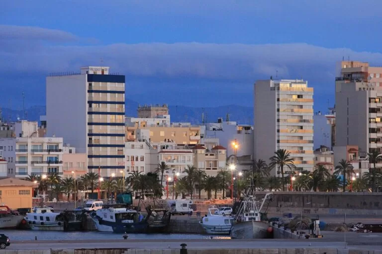
Vinaròs sits on a plain at the northern tip of Castellón province, next to the border with Tarragona. It was long an agricultural and industrial town, with shipyards and a canning industry, and today its commercial and fishing port is one of the most important on this coast. In the streets are the church-fortress of the Assumption, the former convent of Sant Agustí, now the Wenceslao Ayguals de Izco municipal auditorium, and the Giner and Membrillera houses (Spain.info). The old town is fully pedestrianised, with the town market close by. The coast runs for almost 12 km, with 26 beaches and coves (Comunitat Valenciana). See the Vinaròs town guide and the Vinaròs place page.
Benicarló
Benicarló began as a small Arab town in the Middle Ages, and its old street plan has survived, with coats of arms on many houses. At its heart is the Baroque church of Sant Bartomeu, with a carved stone façade and spiral columns, and a parish museum of Gothic art (Spain.info). MUCBE, the city museum, fills the former convent of Sant Francesc, and the Baroque Casa del Marqués de Benicarló has walls covered in tiles showing scenes of daily life; the Casa Bosch has an Art Nouveau front (Comunitat Valenciana). The fishing port is active, and the town has given its name to a Protected Designation of Origin artichoke. See the Benicarló guide.
Traiguera
Traiguera lies inland of Vinaròs, beside the line of the Roman Via Augusta, which made it a hub in the past. After the Islamic period it passed to the Order of the Hospital and then to the Order of Montesa. The medieval wall and its 17th-century fortified extension are a Site of Cultural Interest, and Calle Mayor has Gothic and Renaissance buildings, including the town hall. On the edge of town, the royal sanctuary of the Virgen de la Fuente de la Salud, begun in the 14th century, can be visited with a guide. A walking trail leads through the town’s thousand-year-old olive trees, and Traiguera has a pottery tradition (Comunitat Valenciana).
Sant Jordi
Sant Jordi (San Jorge in Spanish) is a small village of almond and olive groves inland of Vinaròs. In the centre is the 18th-century parish church of Sant Jaume, with old façades, some with stone arcades and family coats of arms. Bovalar, a municipal natural landscape near the village, has views and picnic spots. It also has the Panorámica golf course (Comunitat Valenciana).
Càlig
Càlig is a village of the Baix Maestrat inland of Benicarló, set among hills good for walking and caving. In the village are the 14th-century church of Sant Llorenç, the Torre de Càlig, the oldest building in the village, now the Casa de la Cultura, the Neoclassical chapel of the Virgen del Socorro, rebuilt in the 18th century, and the Carrer del Pont. Around it are dry-stone shelters such as the Casetes de la Volta del Terme. Trails climb La Tossa, from whose peaks clear days show the Ebro Delta and the Columbretes Islands, and the Roques d’en Xiller, which have waterfalls in the rainy season (Comunitat Valenciana). See the Càlig guide.
Cervera del Maestre
Cervera del Maestre is a hill village of stone façades and narrow, winding streets, crowned by the remains of a 12th-century castle that formed part of a defensive line with the castles of Peñíscola, Alcalà de Xivert and Morella. Look for the Baroque hexagonal bell tower of the parish church of the Asunción and the church of San Sebastián, a 14th-century exchange of the Order of Montesa. The Torre i Molí de l’Oli houses an interpretation centre on how an old olive oil mill worked, and the tourist office organises guided routes, including routes among ancient olive trees and dry-stone buildings (Comunitat Valenciana). See the Cervera del Maestre guide.
Beaches and coves
From north to south. Sizes and services are as the Valencian tourist board gives them; it lists a Blue Flag for some beaches without a year, so check the flag on arrival.
La Foradada and the northern coves
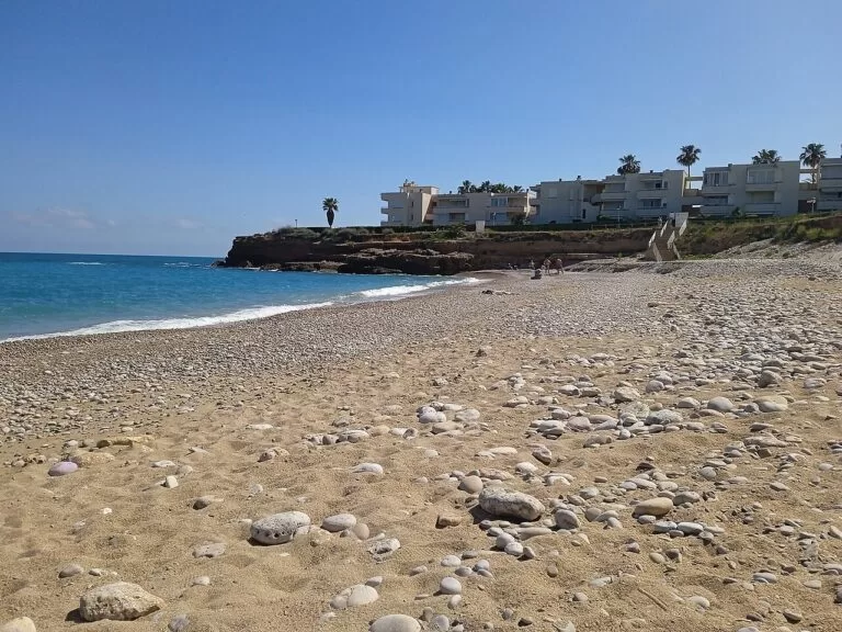
North of the town the coast is a chain of small coves below low cliffs, signposted and linked by a cliff path: Sòl de Riu, Les Deveses, Les Timbes, La Foradada, El Saldonar and Barbiguera among them. La Foradada, named after its pierced rock, is the one the tourist board recommends for snorkelling. Sòl de Riu, the last beach in the north of the province, lies in the Jardí de Sòl de Riu natural area and is used for nudism (Comunitat Valenciana, Sòl de Riu).
See the Cala de la Foradada guide →Fortí and Fora del Forat
Fortí is the main town beach, running north from the harbour along the promenade: more than 700 m long and about 100 m wide, with lifeguards, a beach adapted for reduced mobility with amphibious chairs in summer, play areas and hire of loungers and pedalos (Comunitat Valenciana). Fora del Forat, 300 m of coarse golden sand lined with palms, joins it to the north, with toilets, a Red Cross post and a car park (Comunitat Valenciana).
See the Vinaròs guide →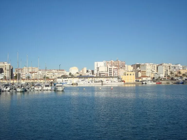
El Clot and the southern coves
El Clot, south of the port, is a fairly enclosed cove of very fine sand that the tourist board calls ideal for children, with lifeguards and accessible walkways; the tourist board adds that its closeness to the town makes the Vinaròs bullring the nearest to the sea in Spain (Comunitat Valenciana). Further south are small gravel coves such as Les Roques, sheltered by cliffs, and Els Pinets (Les Roques, Els Pinets).
See the Vinaròs guide →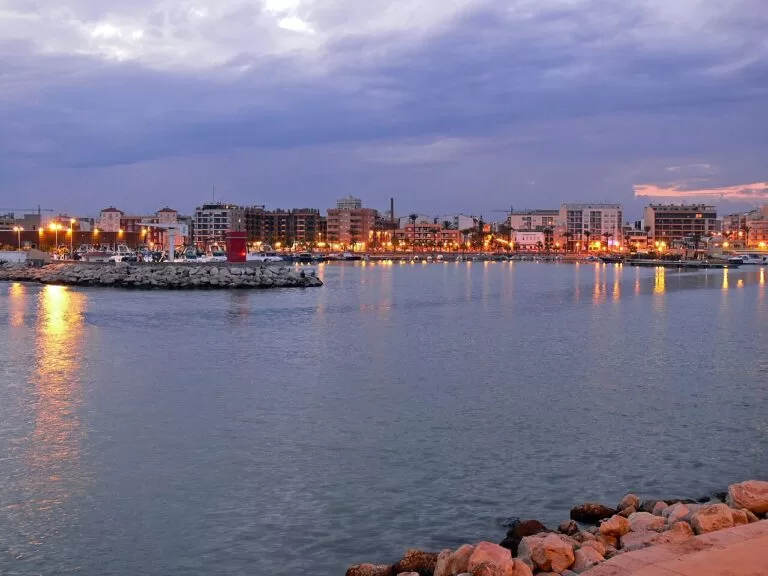
Mar Xica, Morrongo, Gurugú and La Caracola
La Mar Xica, north of the marina, is about 1,000 m of stone and gravel, quiet, with lifeguards and summer beach bars. Morrongo, by the fishing port, has fine golden sand, assisted bathing and lifeguards. Gurugú is 900 m of sand and small pebbles with a Blue Flag, and La Caracola, 800 m of gravel with fine sand in the water, joins Benicarló to Peñíscola (Mar Xica, Morrongo, Gurugú, La Caracola).
See the Benicarló guide →Things to do
History: Iberian hilltops and a sanctuary
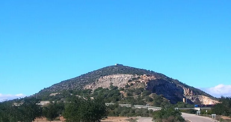
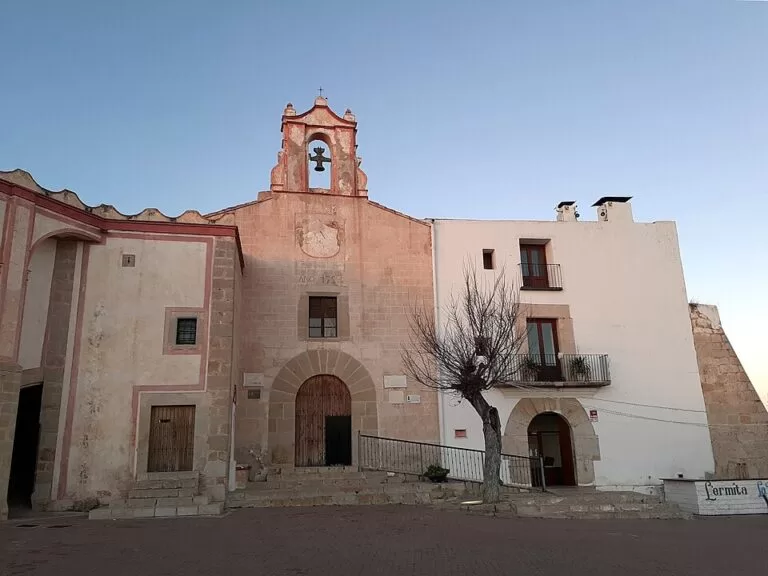
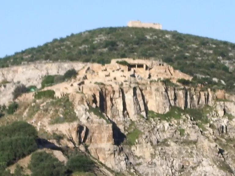
The hills between the two towns were dotted with Iberian settlements. Puig de la Nau, north of Benicarló, is one of the most important Iberian sites in the Region of Valencia, a planned town of the 5th century BC with two-storey houses, where Attic pottery was found, including a kylix attributed to the Penthesilea Painter; it is visited with a guide booked through MUCBE, which shows the finds (Comunitat Valenciana). On the Vinaròs side, the Ermita de la Misericòrdia crowns a hill with the Torre dels Moros and another Iberian settlement, abandoned at the end of the 2nd century BC, and El Perengil, an Iberian structure whose purpose is still unknown, with an outer wall 1.7 m thick (Comunitat Valenciana).
Nature: coves, trails and olive trees
The tourist board recommends family walking and cycling trails around Vinaròs, some accessible for people with disabilities and some with audio guides, with the Serra del Puig and Sòl de Riu among the landscapes to explore (Comunitat Valenciana). The Sender Jardí de Sòl de Riu is one of the Senderos Azules, the blue trails of the Castellón coast (Comunitat Valenciana). Inland, Traiguera and Cervera del Maestre have trails among very old olive trees, and Càlig has walks up La Tossa and caves such as the Sima de Epifanio.
Food: king prawns and the Benicarló artichoke
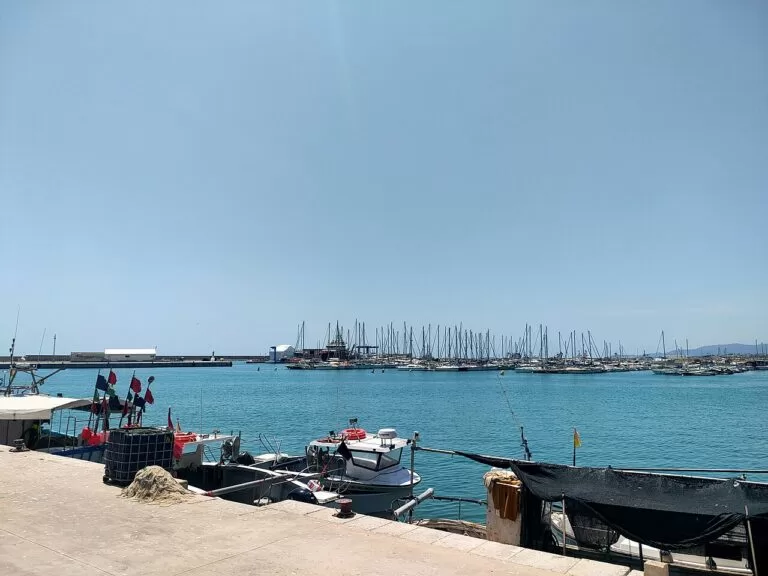
Vinaròs is known for its langostinos, king prawns, which local cooks serve in rice dishes, stews or simply grilled (Comunitat Valenciana). Benicarló’s artichoke has Protected Designation of Origin status; you can recognise it by its slightly flattened shape and the small dimple at the centre. The town celebrates it each January, in the middle of the season, with a large open-air torrà (grill), cookery demonstrations and special dishes in the restaurants; at home it is grilled over coals or roasted with olive oil and salt (Comunitat Valenciana).
Festivals and day trips inland
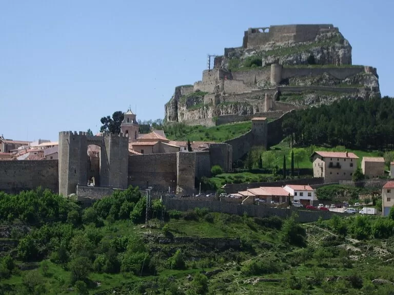
The Vinaròs Carnival is an eleven-day festival before Lent, declared of regional tourist interest, with more than 30 associations, floats and a flour battle (Comunitat Valenciana). In Benicarló, the hermitage of Sant Gregori is the scene of a pilgrimage every 9 May (Spain.info). Inland, Sant Mateu has a 13th-century Plaza Mayor, a Gothic town hall and the archpriest church of San Mateo, one of the great works of Valencian Gothic (Comunitat Valenciana). Further on, walled Morella, capital of Els Ports, has its castle, the Gothic basilica of Santa María and 16 towers (Comunitat Valenciana). CostaMap also has a page on Xert, another Maestrat village.
Where to stay by town
The two coastal towns are the natural bases. We name no hotels.
Vinaròs
A town with a pedestrian old town, a railway station, the port and its restaurants, Fortí beach on the promenade and the coves of the north coast within reach. Vinaròs Tourist Info is in the old coach house at Passeig Blasco Ibáñez 1 (Comunitat Valenciana).
Town, port and covesBenicarló
A good base for long sandy and gravel beaches with services, and for Peñíscola, whose beach continues from La Caracola. The tourist office is in Plaza de la Constitución (Comunitat Valenciana).
Beaches and Peñíscola nearbyCampsites: Camping Ciudad del Ciclismo in Cervera del Maestre has a CostaMap page. The tourist board’s register also lists Cala Puntal, a three-star campsite in Vinaròs open all year (Comunitat Valenciana). For more, see camping on the Costa del Azahar.
Getting there and around
By road: the N-340 runs along the coast through Vinaròs and Benicarló, and the tourist board gives it as the road to the beaches of both towns (Comunitat Valenciana). The CV-138 links Vinaròs with Càlig past the foot of Puig de la Nau (OpenStreetMap).
By train: Vinaròs has a railway station (Comunitat Valenciana), and Benicarló shares the Benicarló-Peñíscola station with its neighbour; the two are 6 km apart in a straight line (OpenStreetMap). We could not confirm timetables.
Around: the town beaches are walkable from the centres. For the northern coves, the hill sites and the inland villages, a car or bike is the practical choice; the tourist board lists bus or taxi stops at several coves but we could not confirm the lines.
For airports and the main rail hub at Castelló, see the Costa del Azahar guide.
A two-day route
By car. Day 1 stays within Vinaròs, about 6 km in a straight line from the cove to the hill; day 2 goes from Benicarló inland to Càlig and Cervera del Maestre and back to the coast.
Day 1
Vinaròs: coves, old town and the sanctuary hill
Start with a swim and a snorkel at Cala de la Foradada, then walk the cliff path past the neighbouring coves. Lunch on king prawns near the port, then stroll the pedestrian old town to the church-fortress of the Assumption. In the late afternoon drive up to the Ermita de la Misericòrdia for the Torre dels Moros, the Iberian remains and the view over the plain.
Day 2
Benicarló, Puig de la Nau and the olive villages
Visit MUCBE in Benicarló in the morning and, if you have booked, join the guided tour of Puig de la Nau. Drive inland to Càlig for the Torre de Càlig and a walk towards La Tossa, then on to Cervera del Maestre for the castle and the olive-oil mill centre. End the day on Morrongo or Gurugú beach in Benicarló.
FAQ
What is Vinaròs known for?
Its king prawns, its port, a carnival of eleven days before Lent declared of regional tourist interest, and almost 12 km of coast with 26 beaches and coves.
Is Vinaròs or Benicarló better to stay in?
Vinaròs has a pedestrian old town, its own station and the coves of the north coast. Benicarló has long beaches with services and is right next to Peñíscola.
What are the best beaches in Vinaròs?
For families, Fortí in the town centre, with lifeguards and accessible bathing, and El Clot, a sheltered cove of fine sand. For snorkelling, La Foradada and the small coves of the north coast.
When is the Benicarló artichoke season?
The festival is in January, in the middle of the season. The artichoke has Protected Designation of Origin status and is recognised by its flattened shape and the dimple at its centre.
Can you visit the Iberian sites near Vinaròs and Benicarló?
Puig de la Nau is visited by appointment with a guided tour booked through MUCBE in Benicarló. The Iberian settlement on the Puig de la Misericòrdia lies beside the sanctuary of the same name, with a viewpoint above it.
Other areas of the Costa del Azahar
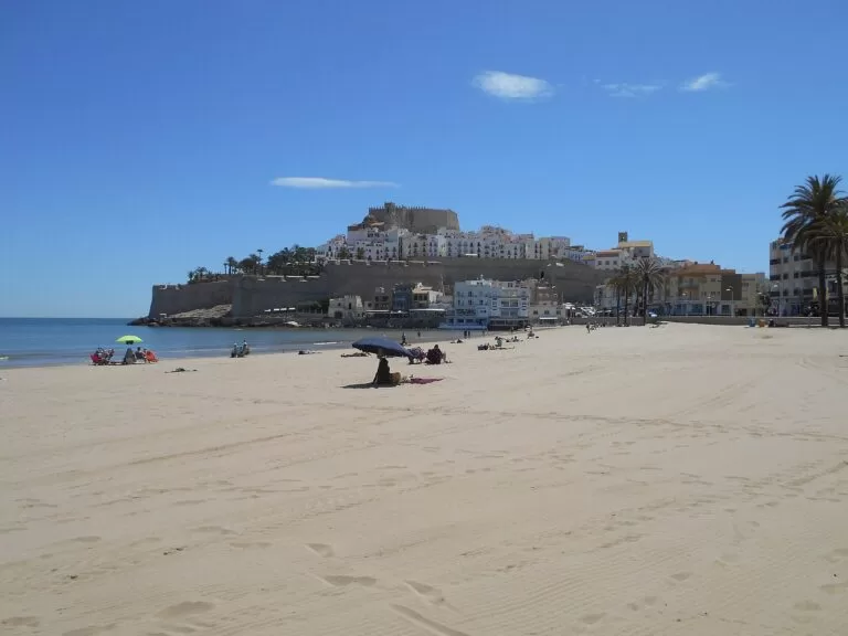
Costa del Azahar
The whole coast of Castellón from Vinaròs to Almenara, with the full map, beaches, campsites and itineraries.
Costa del Azahar guide →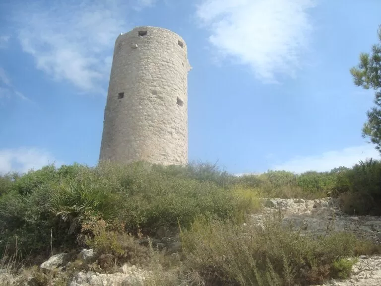
Peñíscola and the Serra d’Irta
The castle of Pope Luna on its rock, Playa Norte, and the cliffs and coves of the Irta natural park.
Peñíscola and Irta guide →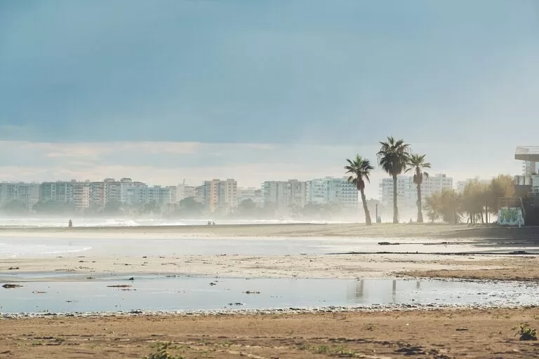
Torreblanca, Oropesa and Benicàssim
Wetlands, the resort of Oropesa del Mar, the villas and beaches of Benicàssim and the Desert de les Palmes.
Oropesa and Benicàssim guide →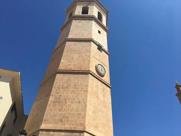
Castelló and the Plana
The city of Castelló and El Grao, and the long beaches and wetlands of the towns of the Plana.
Castelló and the Plana guide →Sources and freshness
Checked 7 November 2026. Spain.info on Vinaròs and Benicarló. Comunitat Valenciana tourist board on the municipalities of Vinaròs, Benicarló, Traiguera, Sant Jordi, Càlig, Cervera del Maestre, Sant Mateu and Morella; the beaches named above; Puig de la Nao, MUCBE, El Perengil, the Misericòrdia sanctuary, the Vinaròs carnival, the Benicarló artichoke, the Senderos Azules, the tourist offices and the Cala Puntal campsite. Map data, stations, roads and straight-line distances: OpenStreetMap. The Vinaròs and Benicarló town tourism websites could not be reached. Not confirmed: bus lines and train timetables, museum and church hours, guided-tour times and prices, and the Blue Flag year of each beach. Photos: Wikimedia Commons; Port de Vinaròs by Millars, Vinaròs harbour by Juan Emilio Prades Bel, the Misericòrdia by Jordi Gili, Barbiguera by Estevoaei, Benicarló harbour by Alvaroparis, Peñíscola by Simon Burchell, Torre Badum by Juan Emilio Prades Bel and El Fadrí by flmv (CC BY-SA 4.0); Vinaròs at dawn, Puig de la Nao and Morella by carlos corzo, and Puig de la Nau by Xufanc (CC BY-SA 3.0); Benicàssim by Martin Cox (CC BY 2.0).