
Costa de Barcelona · South-west
The Llobregat delta travel guide: El Prat and Viladecans beaches, lagoons and reserves
The flat river plain beside Barcelona airport: natural beaches with dunes and stone pines, bird lagoons at El Remolar and Cal Tet, and the towns of El Prat and Viladecans behind them.
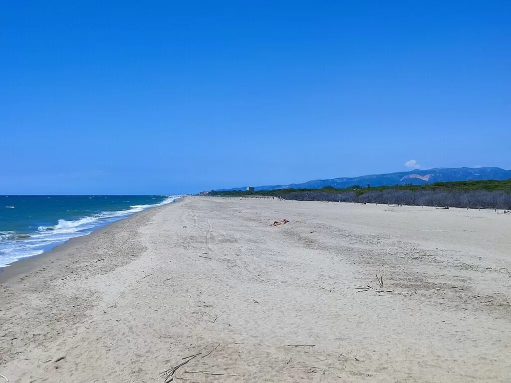
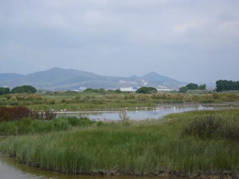
Cal Francès beach, Viladecans · Photo: Joandrés, CC BY-SA 4.0
Part of the Costa de Barcelona guide · South: the Llobregat beaches
The Llobregat delta is the flat coastal plain where the Llobregat river meets the sea just south-west of Barcelona, shared by El Prat de Llobregat and Viladecans and largely taken up by Barcelona-El Prat airport. Its coast, about 8 km in a straight line from the river mouth to the Murtra lagoon on the Gavà border, is a chain of natural sandy beaches backed by dunes, stone pines and protected lagoons, 12 to 16 km in a straight line from Plaça de Catalunya.
At a glance
- Where the Baix Llobregat, Barcelona province: from the mouth of the Llobregat, across El Prat beach and the airport shore, to Viladecans beach and the Murtra lagoon on the Gavà boundary.
- Towns El Prat de Llobregat (66,338 inhabitants in 2025, Catalan Wikipedia) and Viladecans (66,615, Catalunya.com), with Sant Boi de Llobregat sharing the delta’s farmland and ponds.
- Best for uncrowded natural beaches close to Barcelona, birdwatching in the delta reserves, watching planes, and a last half day before a flight.
- Getting there Barcelona-El Prat airport is in the middle of the stretch. El Prat has Rodalies trains and metro L9; Viladecans has the R2 and R2 Sud. By road, the C-31 and C-32; buses L94 and L95 run from Barcelona to the reserves (Catalunya.com).
- On CostaMap guides to the Llobregat Delta nature reserves, El Prat beach, Viladecans beach, HolaCamp Barcelona and Gaudí’s Church of Colònia Güell inland.
Map of the Llobregat delta
The map shows the places on this stretch that have a CostaMap page. Tick a place type to filter, and click a marker to see the place in the panel.
Place type
Area · next level
 Area map
The Llobregat delta
Click a marker to see the place here. The beaches and reserves of El Prat and Viladecans, beside Barcelona airport.
Towns and districtsTowns and districts
From the river mouth in the north-east to the Gavà boundary in the south-west. The delta is shared by four municipalities, but almost all the coast belongs to El Prat and Viladecans, so each of their main districts has its own section. Facts are from Catalunya.com and spain.info, the official tourism sites of Catalonia and Spain, and Catalan Wikipedia.
The Llobregat delta
Catalunya.com describes the delta as a flat plain between the Garraf massif and Montjuïc (98 km², Catalan Wikipedia), reaching inland to the narrow pass of Sant Andreu de la Barca. It is young land: it appeared in Roman times and kept growing until the 19th century, and old river mouths left the coastal lagoons. More than 360 bird species have been recorded, and the remaining wetlands, though much degraded, are together the third most important in Catalonia (Catalan Wikipedia). The protected areas, declared in 1987, are a Natura 2000 bird protection area. Our Llobregat Delta nature reserves guide covers hours, hides and access.
El Prat de Llobregat: the town
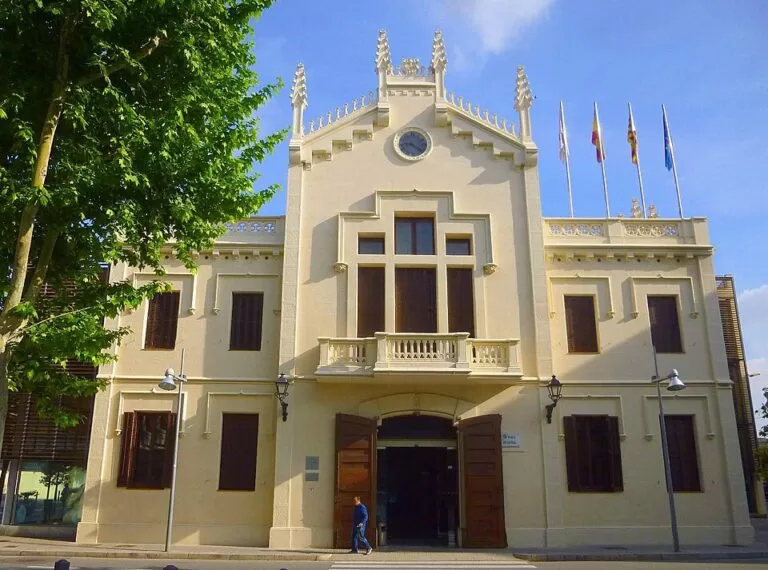
El Prat has 66,338 inhabitants on 32.23 km² of almost completely flat land; its highest point, 8 m, is the Plaça de la Vila (Catalan Wikipedia). It grew fast with industry, from about 10,000 people in 1950 to 51,058 in 1975. The neo-Gothic town hall on Plaça de la Vila dates from 1905, the municipal market from 1921, and Torre Muntadas, a 19th-century villa, has been a cultural centre since 1988. The Prat Museum, in Torre Balcells, covers the town’s farming and industrial past and holds the interpretation centre of the delta (Catalunya.com). The town is about 9 km from Plaça de Catalunya in a straight line.
El Prat: the river mouth, Cal Tet and Ca l’Arana
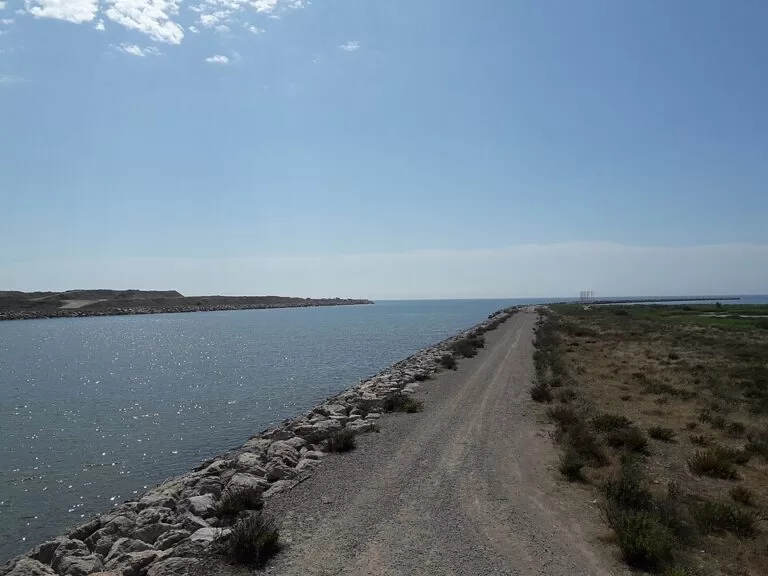
In 2004 the last 3.5 km of the Llobregat were moved 2.5 km south to make room for the port of Barcelona, and the Cal Tet lagoon was dug as compensation (Catalan Wikipedia). Today the natural areas of the river, about 145 ha on its right bank, hold reed beds, pines, beach and the lagoons of Cal Tet and Ca l’Arana, “a miniature delta” in Catalunya.com’s words. The Sabogal hide at Cal Tet is a place to see collared pratincoles in spring. A viewpoint stands at the new river mouth.
El Prat beach: Can Camins and La Roberta
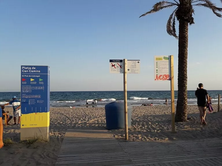
About 5 km south of the town, the promenade of Passeig de la Platja leads to El Prat beach. Its serviced part, Can Camins, is 1,185 m of sand with toilets, showers and a play area (spain.info), backed by the Can Camins stone-pine wood on old dunes. The water gets deep quickly. West of it, La Roberta (1,100 m) runs in front of the runways, with boardwalks over the dunes, lifeguards and a viewpoint tower over the airport; beyond it, El Remolar or Els Militars has been the nudist beach since 2021 (Catalan Wikipedia).
La Ricarda and the Semàfor
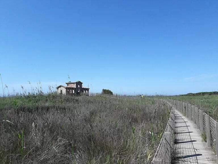
North-east of Can Camins, the 2,700 m beach of La Ricarda–Ca l’Arana is closed to the public to protect it. Behind it lie the Ricarda lagoon, about 29 ha on a private estate with restricted access, and the smaller Magarola lagoon; with El Remolar they were old mouths of the river (Catalan Wikipedia). You can look over them from two viewpoints, the Semàfor, an old signal building, and the Bunyola tower, next to the remains of the Carrabiners’ barracks.
The airport surroundings
Barcelona-El Prat airport lies between El Prat, Viladecans and Sant Boi, and Catalunya.com notes it forms part of the delta itself. A new terminal, T1, opened in 2009. Some heritage survives on or near the airport land: a 1970 ceramic mural by Joan Miró at terminal B, and a 1911 Marconi telegraph station by Josep Puig i Cadafalch, the only one left in Catalonia, with access controlled by AENA (Catalan Wikipedia).
Viladecans: the town
Viladecans has 66,615 inhabitants on 20 km² (Catalunya.com). Its name was first written in 1011, and by 1148 it was called Vila de Cans. In the old quarter are the Casa de la Vila, a neo-Gothic modernista building of 1892, and the Torre del Baró, a 12th-century red-stone manor with a Gothic courtyard, now municipal offices. Can Modolell is an early 20th-century brick palace; the fortified Torre Roja is from the 13th century; and the church of Santa Maria de Sales (1967) is by the Viennese architect Karl Kramreiter. In July the town holds a street theatre festival and the Croma world music festival (Catalunya.com).
Viladecans beach and El Remolar-Filipines
Viladecans beach runs for more than 2.5 km from the mouth of the Remolar lagoon to that of the Murtra lagoon (Catalunya.com). Its eastern beaches, El Remolar and Cal Francès, are wild, with dunes and nudism; El Remolar is closed from 1 March to 31 July for nesting birds. Its western beaches, La Pineda and La Murtra, have car parks, lifeguards and bars (Catalan Wikipedia). Behind them, the 188 ha Remolar-Filipines reserve holds the Remolar lagoon, the Filipines marshes and the Cal Francès pinewood. The town itself is about 5 km inland.
Sant Boi and the Can Dimoni ponds
Sant Boi de Llobregat has no coast of its own here, but part of the airport and the delta’s farmland are in its territory. Among the fields are the Can Dimoni ponds, three small lakes covering 31 ha, known for herons and cattle egrets that gather to roost (Catalunya.com).
Inland: Santa Coloma de Cervelló and the Colònia Güell
Up the Llobregat valley, about 5 km north of Viladecans in a straight line, Santa Coloma de Cervelló has the Colònia Güell, whose Art Nouveau work by Gaudí spain.info picks out as a highlight of the Costa Barcelona. See our Church of Colònia Güell guide.
Beaches
All the beaches of the delta are sand, open to the sea and, according to spain.info, little crowded. Several are natural beaches inside the bird protection area, with fenced dunes, no machine cleaning and seasonal closures.
Can Camins
1,185 m of golden, dark sand in front of the promenade, with toilets, showers, a sports area and a children’s play area (spain.info). The water deepens fast.
See the El Prat beach guide →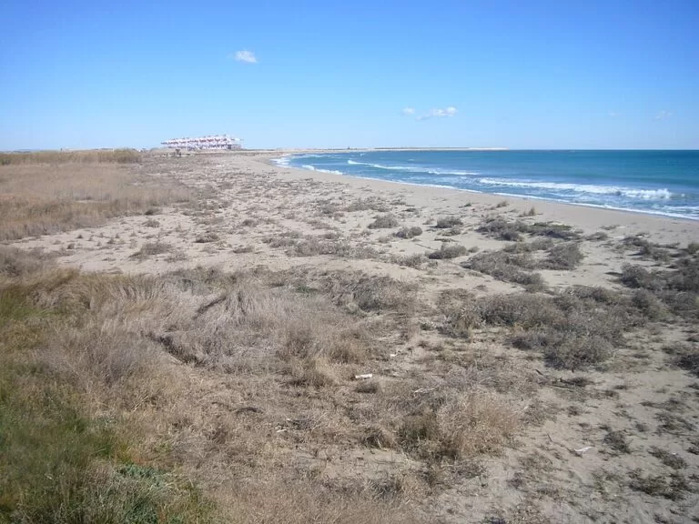
La Roberta and El Remolar (Els Militars)
The beaches in front of the runways: La Roberta, 1,100 m with boardwalks and lifeguards, and El Remolar, 700 m with dunes, nudist since 2021 (Catalan Wikipedia; spain.info gives Els Militars 800 m).
See the El Prat beach guide →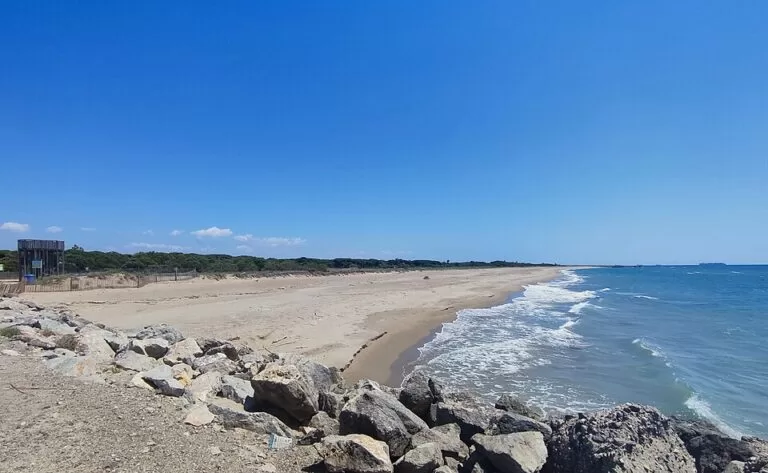
El Remolar and Cal Francès
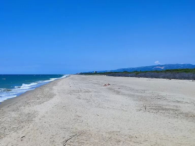
Wild beaches of about 900 m and 320 m with dunes, pools and pines, no services, nudism and no dogs; El Remolar is closed from 1 March to 31 July (Catalan Wikipedia).
See the Viladecans beach guide →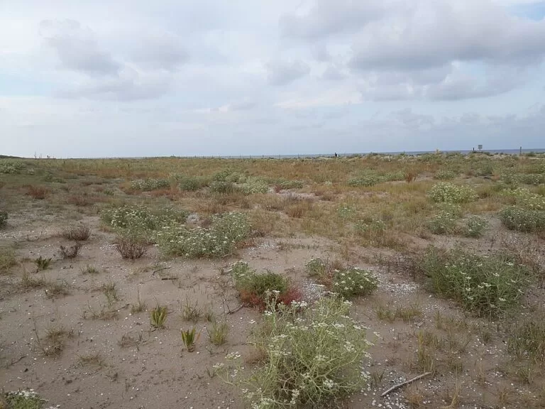
La Pineda and La Murtra
The family end: La Pineda, 1,255 m with lounger hire, toilets and a play area (spain.info), and the small La Murtra with a 400-space car park and help for bathers with reduced mobility.
See the Viladecans beach guide →The Catalan Water Agency rates the water at Can Camins and the Viladecans beaches as excellent in its bathing-season checks (Catalan Wikipedia). Dogs are banned all year on the natural beaches of Viladecans and from April to September at La Pineda and La Murtra.
Things to do
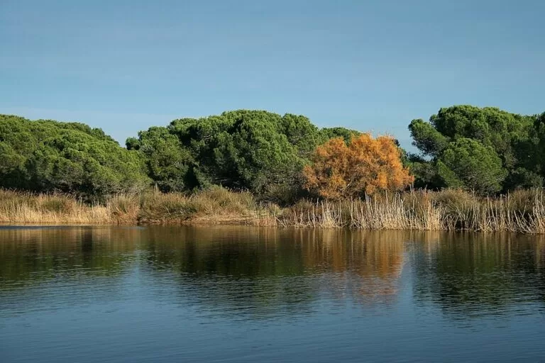
Nature: birdwatching in the reserves
The delta lies on the migration route between Europe and Africa. Catalunya.com names black-winged stilts, Kentish plovers and little grebes among the breeding birds, and wintering ducks, bitterns, ospreys and Balearic shearwaters. Entry is free during opening hours: in summer Monday to Friday 8:00–15:00 and weekends 9:00–18:00, in winter every day 9:00–18:00 (Catalunya.com, checked November 2026). Spring and winter are the recommended seasons.
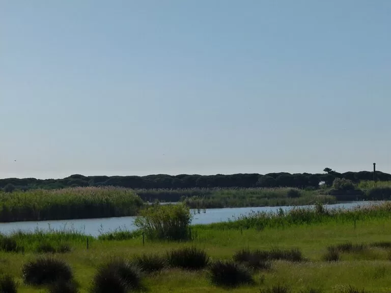
Walking and cycling
Marked routes on foot and by bike link the river areas of Cal Tet and Ca l’Arana, the Semàfor, the Remolar-Filipines reserve, La Murtra, Can Dimoni, the Can Camins and La Maiola pinewoods and the beaches of El Prat and Viladecans, with hides and lookout towers along the way (Catalunya.com). A restored coastal path of about 800 m joins La Murtra beach with the Cal Francès pinewood (Catalan Wikipedia).
History and museums
In El Prat, the Prat Museum in Torre Balcells has three parts: the town’s farming and industrial past, a collection of more than 300 contemporary artworks, and the interpretation centre of the delta, with guided visits to the delta on Saturdays (Catalunya.com). In Viladecans, walk the old quarter past the Casa de la Vila and the Torre del Baró, and out to the Torre Roja.
Food and festivals: the blue-footed chicken
El Prat is known for its own breed of chicken, the pota blava (blue foot). Since 1975 the town has held a poultry fair to promote it, around the second week of December, with live birds, capons and a competition (Catalan Wikipedia). The Festa Major, for Saints Cosmas and Damian, is on the last weekend of September. Viladecans has its Fira de Sant Isidre around May and its summer festivals in July (Catalunya.com).
Where to stay by town
We do not name hotels. These are the bases we would choose on this stretch.
El Prat de Llobregat
A working town with trains and metro line L9 to both the airport and Barcelona. Practical for an early flight; the beach is about 5 km away.
Early flights, no car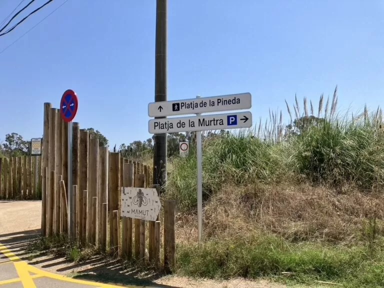
Viladecans
The town has the R2 and R2 Sud trains, but its beach is about 5 km from the centre, so a car helps. Next to the beach, on the Gavà side, is HolaCamp Barcelona.
Drivers, campers, familiesGetting there and around
By air
Barcelona-El Prat airport (BCN) is inside the delta. On OpenStreetMap the Remolar lagoon is about 1 km in a straight line from the Terminal 1 car parks, El Prat beach about 3 km and El Prat town about 5 km.
By train and metro
El Prat de Llobregat station is served by Rodalies lines R2, R2 Nord, R2 Sud and R15, and by metro line L9, which also runs to both airport terminals (Catalan Wikipedia). Viladecans station is on the R2 and R2 Sud (Catalunya.com). Neither station is near the beach.
By bus
Lines L94 and L95 run from Ronda Universitat in Barcelona towards the delta reserves (Catalunya.com), and a local line, PR3, runs from El Prat town to the beach (Catalan Wikipedia). We did not check timetables.
By car
The C-31 runs along the delta to Castelldefels; the Remolar-Filipines entrance is at kilometre 11 (Catalunya.com). Spain.info lists the C-31 and C-32 for the Viladecans beaches, where La Pineda and La Murtra have large car parks.
A one-day route
By car, or by bus and bike, starting early to make the most of the reserve hours.
Morning
The river mouth, Cal Tet and El Prat beach
Start at the river areas of El Prat: the viewpoint at the river mouth and the hides at Cal Tet. Continue to the Semàfor viewpoint over La Ricarda, then walk the promenade at Can Camins and on to La Roberta, in front of the runways.
Afternoon
Remolar-Filipines and Viladecans beach
Drive round the airport on the C-31 to the Remolar-Filipines reserve, then end the day with a swim at La Pineda or La Murtra. With a second day, add the Prat Museum, the old quarter of Viladecans or Gaudí’s crypt at the Colònia Güell.
FAQ
Is there a beach near Barcelona airport?
Yes. El Prat beach and Viladecans beach run along the sea on either side of the runways. La Roberta and El Remolar beaches lie directly in front of them (Catalan Wikipedia).
Can you swim at El Prat beach?
Yes, at Can Camins and La Roberta; the water was rated excellent in the Catalan Water Agency’s checks. The bottom drops steeply at Can Camins.
How do I get to the Llobregat Delta nature reserves from Barcelona?
By bus L94 or L95 from Ronda Universitat, or by car on the C-31. The reserves are about 2 km from the airport and 12 km from central Barcelona, and entry is free (Catalunya.com).
Is there a nudist beach near El Prat?
Yes. El Remolar (Els Militars) in El Prat has been the nudist beach since 2021, and nudism is also practised at El Remolar and Cal Francès in Viladecans.
Is there parking at Viladecans beach?
Catalan Wikipedia lists a large car park at La Pineda and a 400-space car park at La Murtra. We could not confirm prices.
Other areas of the Costa de Barcelona
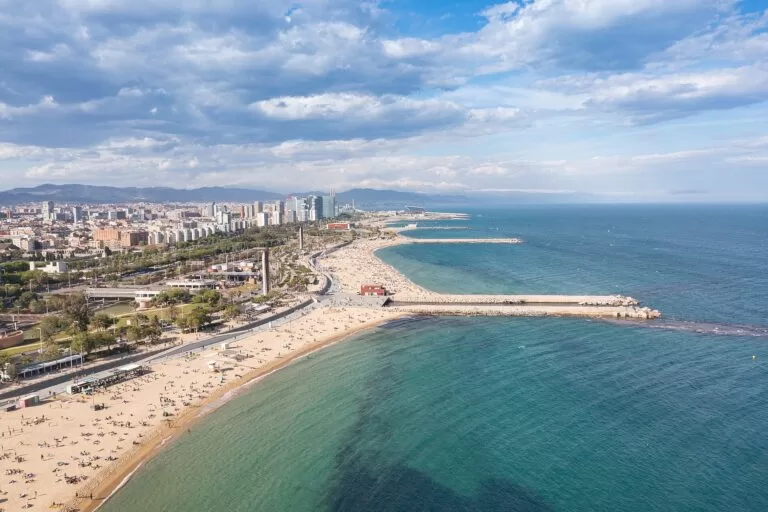
Costa de Barcelona
The whole coast around the city, with the map, the areas, the Maresme and the Garraf.
Costa de Barcelona guide →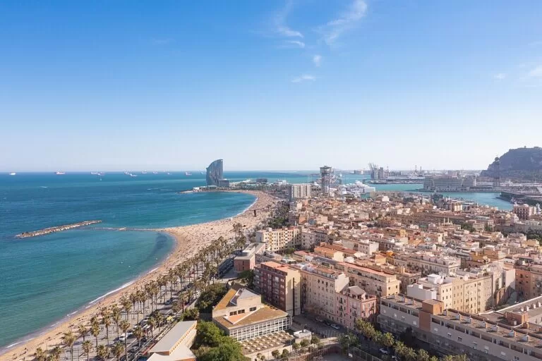
Barcelona and the city beaches
The city’s beaches from Sant Sebastià to the Fòrum, with the old town and Montjuïc behind.
Barcelona city beaches guide →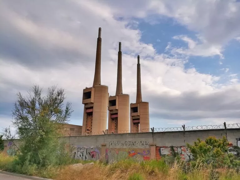
The Besòs: Sant Adrià and Badalona
Where the city ends to the north-east, around the mouth of the Besòs and the Three Chimneys.
Besòs, Sant Adrià and Badalona guide →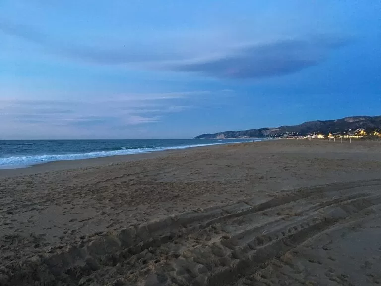
Costa del Garraf
Gavà, Castelldefels, Sitges and Vilanova: the coast continues past the Murtra lagoon under the Garraf hills.
Costa del Garraf guide →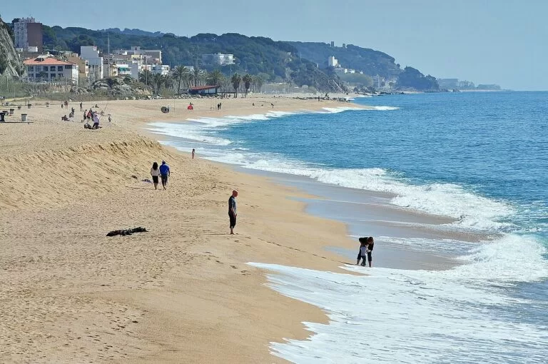
Costa del Maresme
The coast north of Barcelona, with the R1 train along the shore from Badalona to Mataró and beyond.
Costa del Maresme guide →Just over the Gavà boundary, HolaCamp Barcelona is about 1 km from La Pineda beach. Further along the Garraf coast, the Gavà Mines are about 6 km from Viladecans beach and Castelldefels Castle about 7 km, and the Castelldefels and Gavà guide covers that stretch. Across the river mouth, Montjuïc Castle is about 10 km from El Prat beach.
Sources and freshness
Checked 9 November 2026. Catalunya.com (Catalan Tourist Board) on the Delta del Llobregat Protected Nature Area (areas, sizes, hours, routes, wildlife), the Espai d’Interès Natural del Delta del Llobregat (distances, buses, birding), Viladecans (population, heritage, festivals, transport, beach), the Prat Museum and Barcelona airport. Spain.info (Turespaña) on the Costa Barcelona and the beaches Platja Equipada, Els Militars, Platja Naturista, El Remolar, Cal Francesc, La Pineda and La Murtra. Catalan Wikipedia on El Prat de Llobregat, Viladecans, the Llobregat Delta, the Ricarda and Magarola lagoons and the beaches of El Prat and Viladecans. Location and straight-line distances: OpenStreetMap contributors. The town hall sites of El Prat and Viladecans, Barcelona Turisme and Barcelona és molt més could not be reached while checking. Not confirmed: bus timetables, parking prices, lifeguard dates, hotel options. Photos: Wikimedia Commons.
Every place we have mapped on the The Llobregat delta: El Prat and Viladecans
5 towns, beaches, coves and landmarks, kept up to date automatically.