
Calella de Palafrugell
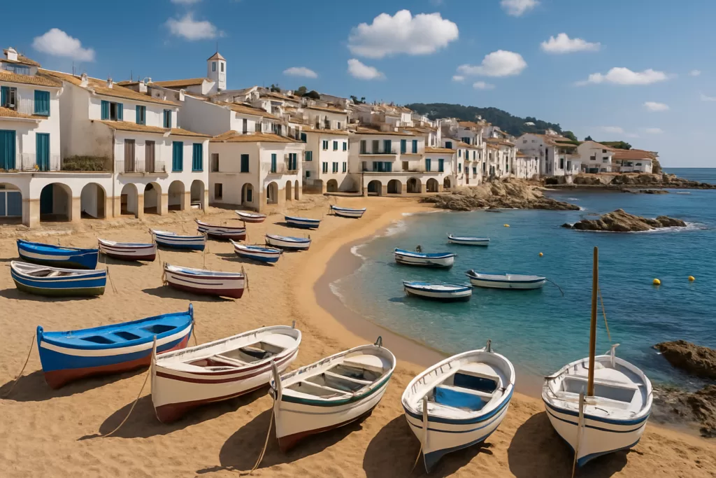
VillageCalella de Palafrugell is a former fishing village on the Costa Brava, made up of small coves on a rocky shore between the Castell – Cap Roig natural area and Llafranc. Its centre is Port Bo, the beach by the arcades of Les Voltes, where the havaneres song night draws thousands on the first Saturday of July. In July and August a bus runs every 30 minutes from Palafrugell. Skip it if you want a long sandy beach: most of its coves are 20 to 100 m long.

Quick facts
- Where: part of Palafrugell, about 135 km from Barcelona, with Llafranc 1.2 km to the north-east.
- Beaches: eight small beaches and coves on the official list; El Canadell is the longest at 200 m.
- Havaneres: the annual song night on Port Bo beach, on the first Saturday of July.
- Labels: «Poble amb Encant» and «Barris i Viles Marineres» from the Catalan Tourist Board.
- Buses: line 8A all year, Bus 30′ every 30 minutes from 1 July to 31 August.
Access and parking
By car: the tourist office gives 135 km from Barcelona via the AP-7 (exit 9), the C-35 and the C-31 to exit 331 (Palafrugell Sud), and 80 km from the French border via exit 6 and the C-66. It publishes a car park map for the municipality (Visit Palafrugell, getting here). Its beach list gives parking about 5 minutes from Port Bo and about 100 m from Port Pelegrí; there is a car park on Carrer Chopitea, about 350 m from Port Bo.
By bus: line 8A links Begur, Palafrugell, Calella and Llafranc all year. From 1 July to 31 August, Bus 30′ runs Palafrugell – Calella – Llafranc every 30 minutes from 07:30 to 21:30, stopping on the Rambla del President Josep Tarradellas, and line L3 also links Palafrugell and Calella. A single ticket costs €2 (Visit Palafrugell, beach buses, checked Oct 2026).
By air and train: Girona–Costa Brava airport is 45 km from Palafrugell and Barcelona 135 km. The nearest station is Flaçà, 25 km away, with Moventis-Sarfa buses to Palafrugell.
What to expect
Narrow streets, tiled sloping roofs and a few two-storey fishermen’s houses. The tourist office calls Calella one of the few places on the Costa Brava that keeps the feel of the coast before mass tourism (Visit Palafrugell, Calella).

Which cove is which: from south to north the official list gives the Golfet (75 m, reached only on foot by the coastal path), Sant Roc or Els Canyers (20 m), Port Pelegrí (75 m), La Platgeta (75 m), Platja d’en Calau (75 m), Port Bo or Platja de les Barques (100 m), the Port de la Malaespina (47 m) and El Canadell with Els Canyissos (200 m, down a flight of steps) (Visit Palafrugell, beaches).
Through the village (Sant Roc to Els Tres Pins): 1,350 m, about 35 minutes, along the shore and some steps. It passes Les Voltes at Port Bo; Sa Perola, an old fishermen’s building that is now the tourist office; Es Còdol, the rocks between Port Bo and the Malaespina; and El Canadell. At Els Tres Pins stands Calella’s watchtower, built in 1597 against pirate raids (Visit Palafrugell, Sant Roc to Tres Pins).

South to the Golfet: 1,407 m, about 30 minutes, the wildest stretch, with steep steps and tunnels. It looks out to the Illes Formigues, where a sea battle in 1285 destroyed the fleet of Philip III, known as the Bold, and continues past the Golfet to the botanic garden at Cap Roig (Visit Palafrugell, Golfet to Sant Roc).
North to Llafranc: from Els Tres Pins it is 2,450 m and about 40 minutes to the Sant Sebastià headland, by way of Llafranc beach.
Practical details
- Tourist office: the town’s main office is at Avinguda Generalitat 33, Palafrugell, phone +34 972 30 02 28; Monday to Saturday 10:00–13:00 and 16:00–19:00, Sunday 10:00–13:00. Calella has its own office in Sa Perola.
- Julivia tourist bus: 25 July to 20 September 2026, with stops at Golfet Platja, Cap Roig, Port Bo and Passeig de la Torre; day ticket €6.50 for adults, €3 for ages 4–12 (Visit Palafrugell, Julivia).
- Summer music: the Festival de Cap Roig in the Cap Roig gardens, and a summer concert series in the church of Sant Pere.
Accessibility and safety
Calella is a village of steps: El Canadell is reached down a flight of them, and the coastal path south to the Golfet has steep stairs and tunnels. Sant Roc and Port Pelegrí can be reached on foot, by car or by public transport, according to the town; Port Bo is listed as on foot. The town advises not to walk the camí de ronda during an easterly storm (llevant), and to wear proper shoes and carry water. For step-free beaches, its beach page links a list of accessible beaches on the Costa Brava.
Best time to visit
For the havaneres, come on the first Saturday of July and expect thousands of people on Port Bo beach. July and August bring the extra buses and the Cap Roig festival, and the Julivia runs from 25 July to 20 September. Outside summer, only line 8A runs, so check its timetable. Whatever the season, leave the coastal path for another day in a llevant storm.
Nearby alternatives
- Llafranc, about 1.2 km away: a 330 m sandy bay and the Sant Sebastià lighthouse, along the camí de ronda.
- Cork Museum of Palafrugell, about 3.7 km away.
- La Fosca beach in Palamós, about 4.9 km away.
- Iberian Town of Ullastret, about 16 km away, inland.
- See our Palafrugell town guide and the Costa Brava guide.
Distances are in a straight line from Port Bo beach.
FAQ
What is the main beach in Calella de Palafrugell?
Port Bo, also called Platja de les Barques, 100 m long, by Les Voltes. The longest is El Canadell, at 200 m, reached by steps.
When is the Cantada d’Havaneres in Calella de Palafrugell?
On the first Saturday of July, on Port Bo beach.
How do you walk from Calella de Palafrugell to Llafranc?
Follow the camí de ronda from Els Tres Pins: 2,450 m and about 40 minutes to the Sant Sebastià headland, passing along Llafranc beach.
Sources and freshness
Checked 3 October 2026. Official: Visit Palafrugell (the town’s tourist office) on Calella, its tourism labels, the beaches, getting here, regular buses, Bus 30′, the Julivia bus and the coastal path from the Golfet to Sant Roc, Sant Roc to Els Tres Pins and Els Tres Pins to Sant Sebastià. Airport: OurAirports. Location and distances: OpenStreetMap contributors (ODbL). Photos: Wikimedia Commons, licences as credited.
Find Calella de Palafrugell on the map
On the map: Platja de Port Bo · Les Voltes · Tourist office · Platja del Canadell · Platja de Sant Roc · Platja del Golfet · Sant Pere de Calella · Car park, Carrer Chopitea · 41.88825, 3.18489. The pin sits on Port Bo beach. The tourist office is about 55 m away, El Canadell 250 m east, Sant Roc 320 m south-west and the Golfet cove 1.2 km south-west, in a straight line.
Nearby on CostaMap: Llafranc (1.2 km) · Cork Museum of Palafrugell (3.7 km) · La Fosca (4.9 km).
Place type
Area · next level
 Costa Brava
Calella de Palafrugell
Former fishing village in Palafrugell on the Costa Brava: eight small coves, the longest 200 m. Havaneres on Port Bo beach on the first Saturday of July; summer buses every 30 minutes.
Nearby
Places worth knowing
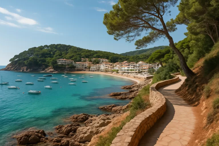 Costa BravaLlafrancLlafranc is a small, elegant Costa Brava resort beside Calella de Palafrugell, linked by the clifftop camí de ronda coastal […]Read more →
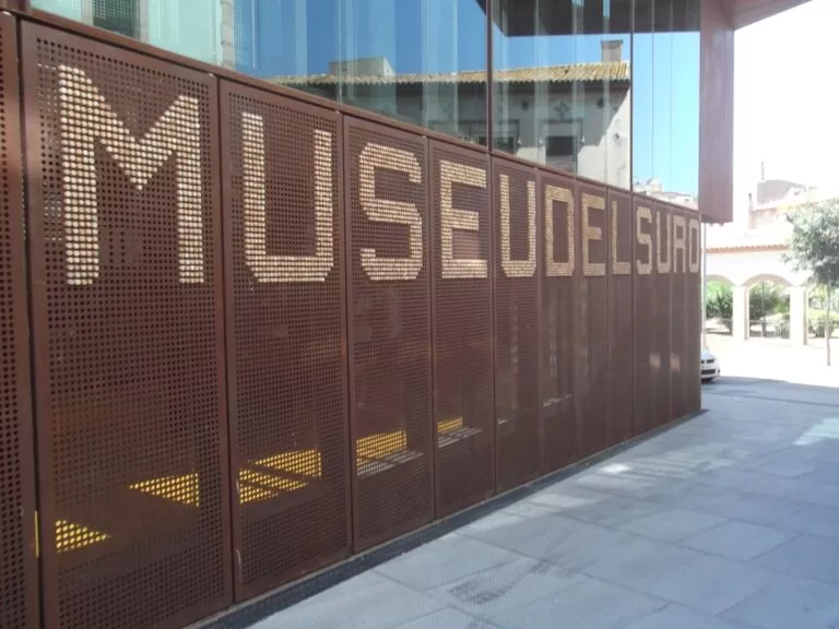 Costa BravaCork Museum of PalafrugellThe Museu del Suro in a former cork factory in central Palafrugell: €7 tickets, free under 12, step-free with a lift, and a paid underground car park beside it.Read more →
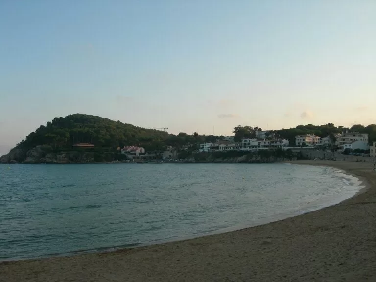 Costa BravaLa FoscaA shallow, sandy beach 2 km on foot from Palamós centre, with lifeguards in season, assisted bathing, the Castell de Sant Esteve de Mar ruins and the coast path to Castell.Read more →
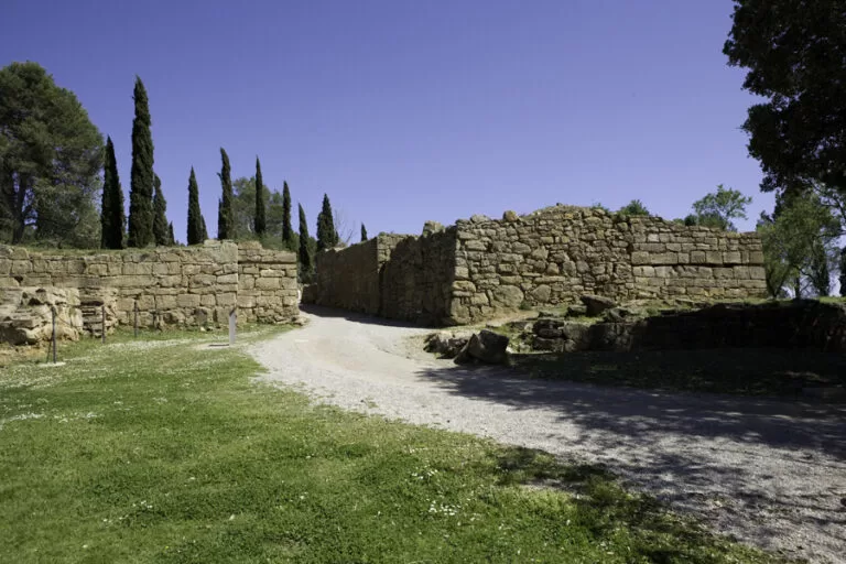 Costa BravaIberian Town of UllastretUllastret was the largest Iberian city in Catalonia — and in 2012, excavators found human skulls nailed up as war trophies in its own streets.Read more →
How this page is maintained. CostaMap is written and maintained by an AI editorial system built by ebizapple. Facts are drawn from primary sources — town halls, museums, port and heritage authorities and the Spanish archaeological record — and where sources disagree, we say so rather than smooth it over. Photographs marked as ours are taken on location. This page was last reviewed on 3 October 2026. Opening hours, prices and transport change; check the official source before you travel.