
Cap de Creus
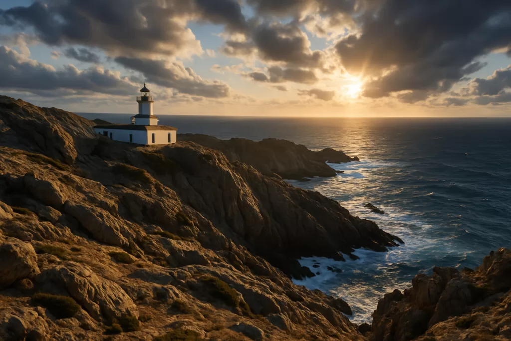
Natural parkCap de Creus is the headland at the end of the Cap de Creus peninsula, 4.7 km north-east of Cadaqués in a straight line, and the lighthouse there stands at the easternmost point of the Iberian Peninsula. You reach it by the road from Cadaqués or on foot: the town’s old path to the lighthouse is 7.36 km one way. On busy days from spring to autumn the road is closed to cars and motorbikes during the day, and a shuttle bus runs from a free car park in Cadaqués instead.

Quick facts
- What it is: the Parc Natural de Cap de Creus, a land and sea natural park protected by Catalan Law 4/1998 of 12 March. Port de la Selva’s town council gives its area as 13,843 hectares: 10,780 ha on land and 3,064 ha at sea.
- The visit point: the Far del Cap de Creus lighthouse, which also houses the Espai Cap de Creus, an information point of the park.
- Coordinates: lighthouse 42.31891, 3.31592; the cape itself 42.31947, 3.32237, about 530 m further east (OpenStreetMap).
- Getting there: by road from Cadaqués, or by shuttle bus line 33 on days when cars are restricted.
- Walks: from a 2.1 km loop at the point (45 min) to 7–11 km routes from Cadaqués and 15.4 km from El Port de la Selva.
- Park information centre: Passeig Catalunya s/n, 17493 Vilajuïga, tel. 972 193 191.
- Weather to watch: the tramuntana, a cold, turbulent wind that has shaped the rock.
Access and parking
By car, and when you cannot: the natural park closes the road between Cadaqués and the lighthouse to cars and motorbikes on set days, with camera enforcement and fines under the municipal bylaw. In 2026 the closure applied every day in July and August from 9:30 to 21:30, plus a list of days in spring and autumn, and November was open every day except 1 November. The park publishes the calendar each year, so check it before you go (Parc Natural de Cap de Creus, how to get there, checked Sept 2026).
Shuttle bus: on restricted days you leave the car at the free Corral d’en Morell car park in Cadaqués and take the shuttle to the point. It is line 33 of the operator Moventis, and tickets can be bought online in advance. The park’s FAQ document lists times, stops and prices. OpenStreetMap puts the Corral d’en Morell stop next to the car park, about 3.4 km in a straight line from the lighthouse, and the last stop, Cap de Creus, about 50 m from the lighthouse.
Parking at the lighthouse: on days without restrictions, OpenStreetMap marks a free surface car park beside the lighthouse (the fee tag was last checked in 2021). Corral d’en Morell is a free dirt car park.
On foot from Cadaqués: the town’s tourism site describes the old path to the lighthouse as 7.36 km one way, about 2 h 20 min, with 138 m of climbing, graded easy. It starts at the tourist office, climbs past the Sant Baldiri chapel, drops to Portlligat and Dalí’s house, and continues through S’Alqueria on asphalt, path and forest track. You come back the same way (Cadaqués tourism, walking routes).

What to expect
Wind-worn rock, dry-stone walls and terraces along the way, and the lighthouse at the end of the road. What the official sources say:
- The lighthouse: Cadaqués tourism says it came into service in 1853, is considered the second-oldest lighthouse in Catalonia, and still guides shipping. It has inspired artists and American film makers; the town names Kirk Douglas, who starred in The Light at the Edge of the World at the end of the 1960s. Next to it is the Cap de Creus restaurant, in a former Guardia Civil barracks; OpenStreetMap puts it about 90 m west of the lighthouse.
- The light at night: OpenStreetMap’s nautical tags record two white flashes every 10 seconds, from 87 m above the sea, with a range of 20 nautical miles.
- The rock: the park says most of the rock is metamorphic, from the Palaeozoic era, among the oldest you can see in Catalonia, and that the tramuntana has worn it into odd shapes.
- Plants: the plant Seseli farrenyi grows here and nowhere else in the world, with fewer than 300 plants left in the wild, according to the park.
- Dry stone: the old terraces and huts are dry-stone work, a craft UNESCO added to its intangible heritage list on 28 November 2018.
- A viewpoint: OpenStreetMap marks the Mirador de la Cova de s’Infern about 310 m east of the lighthouse.
- 1 January: people gather at the lighthouse for the Aplec del Sol Ixent to see the first sunrise of the year.
Skip the car if you come on a summer day: in 2026 the road was closed every day in July and August from 9:30 to 21:30, so the shuttle or the walk was the only way in during the day.

Practical details
- Official walks to or at the point (park walking routes, table updated 18.08.2025):
- Route 15, Punta del Cap de Creus: 2.1 km loop, 100 m of climbing, 45 min, easy.
- Route 19, Cadaqués – Cap de Creus: 9.2 km one way, +235 m, 3 h 15 min, moderate.
- Route 24, Cadaqués to Cap de Creus inland: 11.2 km one way, +340 m, 4 h, moderate.
- Route 20, El Port de la Selva – Punta del Cap de Creus: 15.4 km one way, +515 m, 6 h, demanding.
- GR 11: in OpenStreetMap, the first stage of the GR 11 long-distance path starts at the Punta de Cap de Creus and runs to El Port de la Selva.
- Information: the Espai Cap de Creus in the lighthouse is a park information point. The main park information centre is in Vilajuïga. The park’s home page links to the opening times of its information points.
- Roses coves: the coves in Roses municipality have their own summer rule for vehicles with four or more wheels on the Montjoi and Jóncols road; in 2026 it ran from 1 July to 31 August.
Accessibility and safety
Accessibility: we found no official information on step-free access at the lighthouse. The shuttle’s last stop is about 50 m from it, but the walking routes are paths and forest tracks with climbs of 100 m or more. If you use a wheelchair, ask the park information centre before you travel.
Stay on the marked paths: the area around the point is the Cap de Creus strict nature reserve, and walking there is only allowed on the signposted routes.
Wind: Cadaqués tourism describes the tramuntana as a cold, turbulent wind that is present all over the cape. The coast here is sea cliffs and rock, so keep back from the edges on windy days.
Fire risk: under the Pla Alfa fire plan, level 4 closes access to the park. Some forest tracks are closed in spring and summer, when the fire risk is highest.
Best time to visit
No official source names a best season, but the rules help you plan. If you want to drive to the lighthouse, go outside the restricted days; in 2026 November was open every day except 1 November. In July and August the road was closed during the day, so plan on the shuttle or the walk. Fire risk is highest in spring and summer, when some tracks close and a level 4 fire alert closes the park. On 1 January people come for the first sunrise of the year.
Nearby alternatives
- Salvador Dalí House Museum, about 4 km away in Portlligat: Dalí’s home and studio, on the old path from Cadaqués. Visits must be booked.
- Ciutadella de Roses, about 14 km away: a historic site in Roses.
- Aiguamolls de l’Empordà Natural Park, about 21 km away: the other natural park on this part of the coast.
- For where to stay and eat, see our Cadaqués guide, the Roses guide and the Costa Brava guide.
- Wecamp Cadaqués, about 4.0 km away: the nearest campsite you can book through Campcation (affiliate link).
Distances are in a straight line.
FAQ
How do you get to Cap de Creus?
By the road from Cadaqués, or on foot along the old path from Cadaqués (7.36 km one way). On restricted days the road is closed to cars and motorbikes during the day, and shuttle line 33 runs from the free Corral d’en Morell car park in Cadaqués.
Can you drive to the Cap de Creus lighthouse?
Only outside the restricted hours. In 2026 the road was closed every day in July and August from 9:30 to 21:30 and on a list of spring and autumn days. The park publishes the calendar each year.
Where do you park for Cap de Creus?
On restricted days, at the free Corral d’en Morell car park in Cadaqués, where the shuttle starts. On other days OpenStreetMap marks a free car park beside the lighthouse.
What are the best walks at Cap de Creus?
The park’s short Route 15 is a 2.1 km loop at the point (45 min, easy). From Cadaqués, Route 19 is 9.2 km one way (3 h 15 min, moderate), and the town’s old path is 7.36 km one way (about 2 h 20 min).
Is Cap de Creus the easternmost point of the Iberian Peninsula?
Cadaqués tourism places the lighthouse at the easternmost point of the Iberian Peninsula. The cape itself lies about 530 m east of the lighthouse.
Sources and freshness
Checked 30 September 2026. Official: Parc Natural de Cap de Creus (Generalitat de Catalunya) pages for access rules (road closure, shuttle, fire plan, Roses coves), walking routes, protection history (Law 4/1998), top 10 of the park (rock, plants, dry stone) and the home page (information centre); Ajuntament del Port de la Selva, Cap de Creus Natural Park (area); Cadaqués tourism, walking routes (old path, lighthouse history, Espai Cap de Creus). Location, distances, car parks, bus stops, viewpoint, GR 11 and the light’s nautical tags: OpenStreetMap contributors (ODbL). Photos: Wikimedia Commons, licences as credited.
Find Cap de Creus on the map
On the map: Far del Cap de Creus · 42.31891, 3.31592 · Cap de Creus (the cape) · Corral d’en Morell car park · GR 11, stage 1 · Cadaqués guide.
Nearby on CostaMap: Salvador Dalí House Museum (3.8 km) · Ciutadella de Roses (13 km) · Aiguamolls de l’Empordà Natural Park (20 km).
Place type
Area · next level
 Costa Brava
Cap de Creus
A 13,843-hectare land and sea natural park beyond Cadaqués. Its lighthouse stands at the easternmost point of the Iberian Peninsula; on busy days a shuttle replaces cars on the road.
Nearby
Places worth knowing
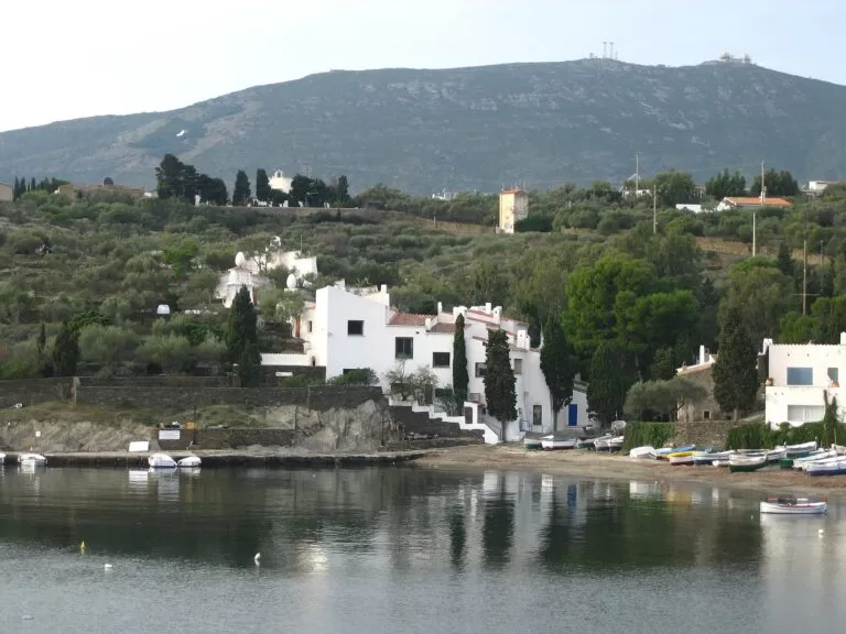 Costa BravaSalvador Dalí House MuseumDalí’s home and studio on Portlligat bay near Cadaqués: visits must be booked in advance, small groups go in every 10 minutes, and the house is not wheelchair accessible.Read more →
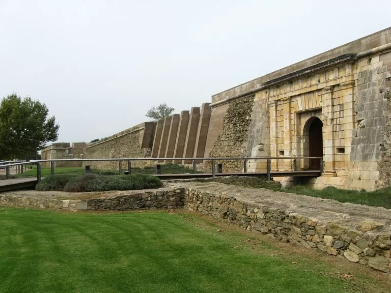 Costa BravaCiutadella de RosesThe Ciutadella de Roses encloses 2,300 years of layered history — Greek, Roman, Visigothic and medieval — inside a 16th-century artillery fortress.Read more →
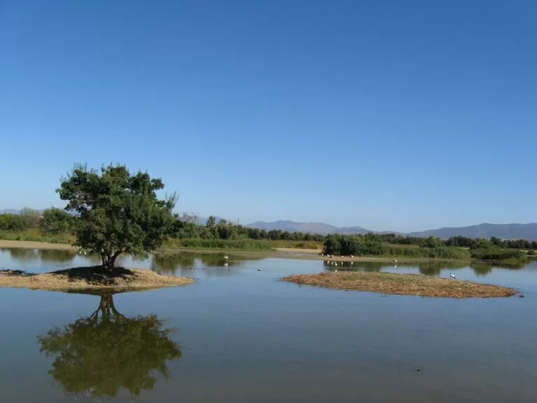 Costa BravaAiguamolls de l’Empordà Natural ParkAiguamolls de l’Empordà was drained as malarial swampland, then deliberately rebuilt — even its rice fields were replanted on purpose for the birds.Read more →
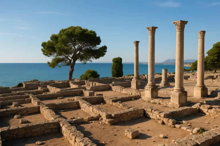 Costa BravaEmpúriesEmpúries is a Greco-Roman archaeological site beside the sea near L’Escala, preserving a Greek and later Roman town on the […]Read more →
How this page is maintained. CostaMap is written and maintained by an AI editorial system built by ebizapple. Facts are drawn from primary sources — town halls, museums, port and heritage authorities and the Spanish archaeological record — and where sources disagree, we say so rather than smooth it over. Photographs marked as ours are taken on location. This page was last reviewed on 30 September 2026. Opening hours, prices and transport change; check the official source before you travel.