
Costa del Sol · East
The Axarquía coast and Nerja travel guide: Rincón de la Victoria to Maro
Long dark-sand beaches, fishing villages and the sugar town of Torre del Mar, then the coves, caves and cliffs of Nerja and Maro, with white villages in the hills behind.
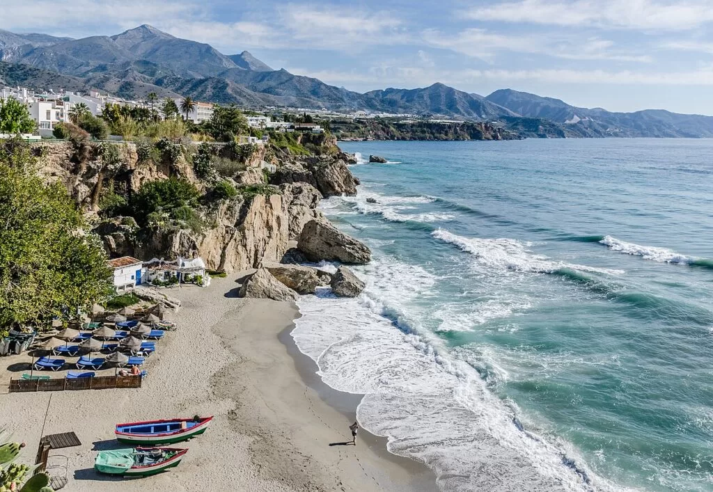
Below the Balcón de Europa, Nerja · Photo: Tuxyso, CC BY-SA 3.0
Part of the Costa del Sol guide · East: the Axarquía to Nerja
The Axarquía coast is the eastern end of the Costa del Sol, the shore of Málaga province east of the city: about 42 km in a straight line from La Cala del Moral in Rincón de la Victoria to Maro, at the border with Granada province. It runs through the municipalities of Rincón de la Victoria, Vélez-Málaga with Torre del Mar, Algarrobo, Torrox and Nerja, with white hill villages such as Frigiliana and Cómpeta a short drive inland (Andalucía.org).
At a glance
- Where the coast of the Axarquía, Málaga province, from La Cala del Moral just east of Málaga to Maro and the Maro–Cerro Gordo cliffs at the Granada border.
- Towns Rincón de la Victoria, Benajarafe, Torre del Mar, Caleta de Vélez, Algarrobo-Costa, Torrox Costa, Nerja and Maro; inland Vélez-Málaga, Torrox, Frigiliana and Cómpeta.
- Best for family beach holidays, the Caves of Nerja, cliff coves around Maro, white villages and fried fish.
- Getting there Málaga airport (AGP) is about 20 km from Rincón de la Victoria, 37 km from Torre del Mar and 56 km from Nerja in a straight line; the A-7 motorway runs behind the whole coast and buses link the towns with Málaga.
- On CostaMap Nerja and its caves, beaches and viewpoints, Torre del Mar, Frigiliana, Cómpeta and the mountains behind.
Map of the Axarquía coast and Nerja
The map shows the places on this stretch that have a CostaMap page. Tick a place type to filter, and click a marker to see the place in the panel.
Place type
Area · next level
 Area map
The Axarquía coast and Nerja
Click a marker to see the place here. From Rincón de la Victoria and Torre del Mar to Nerja, Maro and the white villages behind.
Towns and villagesTowns and villages
From west to east. Population figures and distances to Málaga are from Andalucía.org, Andalusia’s official tourism site.
Rincón de la Victoria and La Cala del Moral
Rincón de la Victoria is the first town east of Málaga, 12 km from the city, with about 20,600 inhabitants. Andalucía.org describes a modern town with good beaches, popular with families. The municipality groups La Cala del Moral, Rincón and Torre de Benagalbón on the coast and the old village of Benagalbón inland. Its main sight is the Cueva del Tesoro (or del Higuerón) at La Cala del Moral, a sea-formed cave with Palaeolithic remains; the Casa Fuerte de Bezmiliana is an 18th-century coastal fort (Andalucía.org). See our Rincón de la Victoria guide.
Benajarafe, Chilches and Almayate
East of Rincón, the coast of Vélez-Málaga is a row of small resorts that turned from fishing or farming to beach tourism: Chilches, Benajarafe, Almayate, Caleta de Vélez, Mezquitilla and Lagos (Andalucía.org). Their beaches are long, open and of dark sand; Almayate’s 2,800 m are barely built up and rarely busy (spain.info).
Torre del Mar
Torre del Mar is the second town of Vélez-Málaga and the main resort of this coast, with about 21,000 inhabitants and 35 km from Málaga. Andalucía.org highlights its long beaches, its promenade as a meeting point and its pescaíto, fried fish, which appears in many food guides (Andalucía.org). Spain.info gives about 4 km of beaches (spain.info), and the old Larios sugar factory, which worked until 1991, now houses a sugar museum. See our new Torre del Mar guide.
Vélez-Málaga
Vélez-Málaga, 4.5 km inland, is the capital of the Axarquía and its largest town, with about 74,000 inhabitants in the municipality. Its old quarter, La Villa, keeps two gates, the church of Santa María la Mayor and the keep of the old fortress (Andalucía.org); spain.info notes that Santa María, in Mudéjar style, was once a mosque (spain.info). See our Vélez-Málaga guide.
Caleta de Vélez and Lagos
Caleta de Vélez, 2.5 km east of Torre del Mar, has the harbour of this stretch; spain.info names it as the nearest marina for the beaches from Almayate to Torrox.
Algarrobo-Costa and Mezquitilla
Algarrobo, with about 6,100 inhabitants, has its village at 86 m and its holiday developments at Algarrobo-Costa. Andalucía.org highlights the Phoenician tombs of Trayamar, found in 1967 and open to visitors, which it calls the most important early Punic site on the western Mediterranean coast (Andalucía.org).
Torrox and Torrox Costa
Torrox has two parts: the white village a few kilometres inland, in the upper Torrox valley, and the coast with hotels and beaches, about 4.6 km apart in a straight line. The municipality has about 16,900 inhabitants and 8 km of coast. Near the lighthouse at Punta de Torrox are the remains of a Roman settlement at the mouth of the river (Andalucía.org). Spain.info adds 15th-century watchtowers and the 17th-century church of La Encarnación in the village (spain.info). See our Torrox guide.
Nerja
Nerja, 50 km from Málaga by road and with about 21,600 inhabitants, is one of the main resorts of the Costa del Sol. Andalucía.org lists its highlights as the Caves of Nerja, the Maro cliffs and, in town, the Balcón de Europa and the church of El Salvador (Andalucía.org). The Balcón de Europa stands where a fort was finished in 1509 against pirate raids; spain.info also points to the 19th-century Águila Aqueduct, with four tiers of arches (spain.info). In 2026 Nerja has four Blue Flag beaches: Burriana, Torrecilla, Playazo-Chucho and Maro (Nerja town hall). See our Nerja guide, the Nerja town page, and the guides to the Balcón de Europa and Playa de Burriana.
Maro
Maro is a village of Nerja, with about 760 inhabitants, at the foot of the Sierra Almijara above fields that run down to the sea, at the border with Granada province. The Caves of Nerja and the Paraje Natural of the Maro cliffs are within its lands (Andalucía.org). Its beach is a Blue Flag beach in 2026. Spain.info calls the Torre de Maro a fine example of the watchtowers along this shore. See our guides to the Caves of Nerja, the Torre de Maro and the Maro–Cerro Gordo cliffs.
Frigiliana
Frigiliana sits on the slope of the Sierra Almijara at 318 m, about 5 km behind Nerja, with about 2,650 inhabitants. Andalucía.org calls its view one of the finest on the Costa del Sol and points to the Hoces del Higuerón gorge and the old sugar mill, once the palace of the Counts of Frigiliana, where cane honey is made (Andalucía.org). Its stepped lanes keep the Arab-period street plan, with ceramic plaques telling the story of the battle of the Peñón de Frigiliana (spain.info). See our Frigiliana guide and the Frigiliana town page.
Cómpeta
Cómpeta lies at 638 m below the Sierras of Tejeda and Almijara, about 11 km inland from Torrox Costa, with about 2,700 inhabitants. Andalucía.org counts it among the former Morisco villages of the Ruta del Mudéjar, where vines were the main crop, and calls its townscape one of the most striking in the province, with the church of La Asunción at its centre (Andalucía.org). The village is known for its Noche del Vino on 15 August. See our new Cómpeta guide.
Beaches and coves
Long dark-sand beaches in the west, cliffs and coves east of Nerja. Lengths are from spain.info; Blue Flags 2026 from Nerja town hall.
Torre del Mar
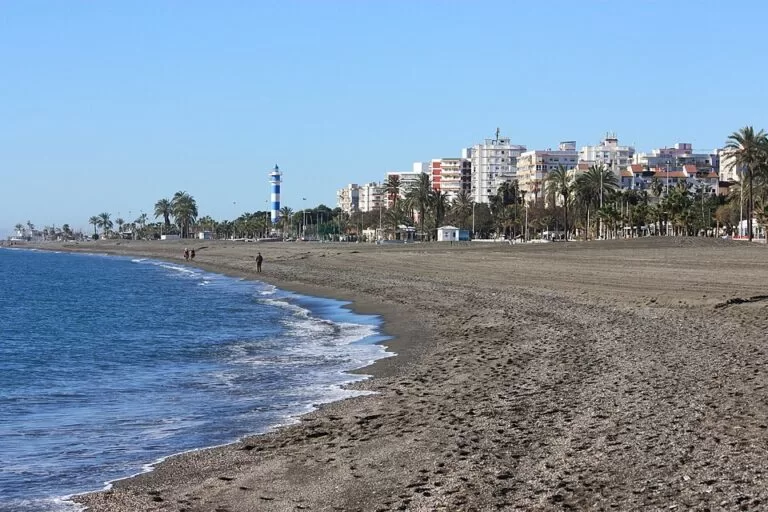
About 4 km of grey-brown sand along a long promenade, with the lighthouse at the western end of the centre and fried-fish restaurants behind (spain.info).
See the Torre del Mar guide →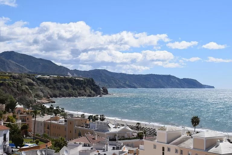
Burriana
Nerja’s largest town beach: 800 m by 40 m of dark sand, Blue Flag and Q de Calidad in 2026, with a promenade of restaurants and a municipal car park (spain.info).
See the Burriana guide →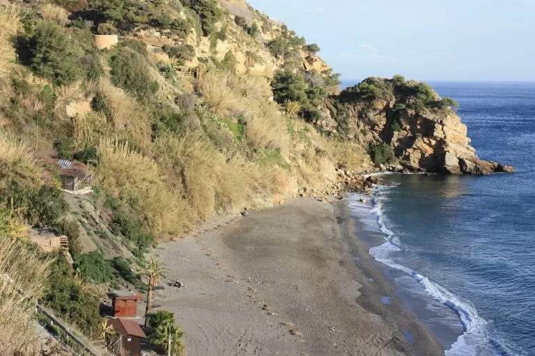
Maro
500 m of dark sand below the village, wild-looking, with parking and a Blue Flag in 2026; spain.info rates its occupancy as high (spain.info).
See the Torre de Maro guide →- Chilches, Benajarafe and Almayate – 2,500 m, 1,600 m and 2,800 m of dark sand in Vélez-Málaga; Almayate is the least built-up (spain.info).
- Mezquitilla – 650 m of large pebbles at Algarrobo-Costa, with few services (spain.info).
- Ferrara – Torrox Costa’s 1,200 m town beach, busy and well equipped (spain.info).
- El Playazo – 1,700 m of dark sand on the west side of Nerja, quieter than the town beaches; Blue Flag 2026 as Playazo-Chucho (spain.info).
- Torrecilla, El Salón and Calahonda – Nerja’s central beaches: Torrecilla is 300 m with a Blue Flag, El Salón 200 m below a low cliff with fishing boats, and Calahonda a 120 m U-shaped cove under the Balcón de Europa (spain.info).
- Playa del Cañuelo – a gravel beach below the cliffs east of Maro, reached by a steep 1.3 km road. See our Cañuelo guide.
Things to do
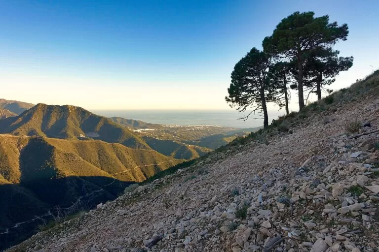
Nature: cliffs, mountains and gorges
The Maro–Cerro Gordo cliffs, a protected Paraje Natural, close the Costa del Sol at the Granada border (Andalucía.org); see our cliffs guide. Behind Nerja, Frigiliana and Cómpeta rise the Sierras of Tejeda, Almijara and Alhama Natural Park. From Cómpeta a signed path of the GR 249 Gran Senda de Málaga leads to Frigiliana, 25.3 km away (OpenStreetMap). Frigiliana has the Hoces del Higuerón gorge (Andalucía.org).
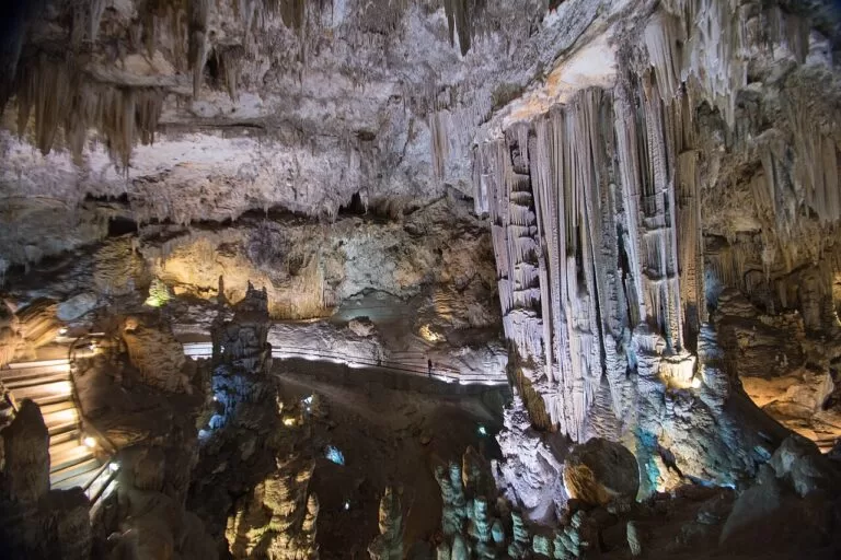
History: caves and Phoenicians
The Caves of Nerja were discovered in 1959. Declared a Historic-Artistic Monument, they have almost two kilometres of galleries and cave paintings attributed to the Palaeolithic; the Hall of the Waterfall hosts the Cave of Nerja Festival (spain.info). At La Cala del Moral, the Cueva del Tesoro is a cave formed by the sea (Andalucía.org). The Phoenician tombs of Trayamar at Algarrobo are open to visitors (Andalucía.org).
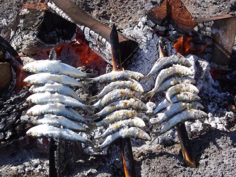
Food: pescaíto, ajoblanco and Moscatel
Torre del Mar is known for pescaíto, small fried fish (Andalucía.org). Spain.info lists Nerja dishes such as ajoblanco with grapes, a cold almond soup, and Axarquía raisins with Málaga wines (spain.info). Frigiliana makes cane honey in its old sugar mill (Andalucía.org), and Cómpeta treads grapes in public on its wine night, 15 August.
Where to stay by town
The towns we would base a trip in, west to east. Rincón de la Victoria is the closest base to Málaga and the airport.
Torre del Mar
A real town all year, with long beaches, a flat promenade and buses to Málaga and Nerja. Good for families and longer stays.
Beach and town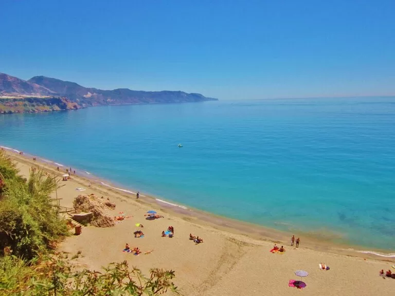
Nerja
The most varied base: the Balcón de Europa, coves and beaches in walking distance, the caves 3 km away and Frigiliana close behind. Busiest in July and August.
Coves and sights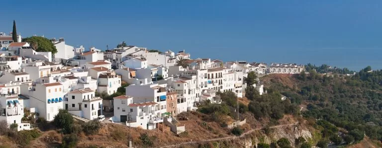
Frigiliana
A white village 5 km from Nerja for a quieter stay with views to the sea. You will want a car or the bus to reach the beach.
Village and views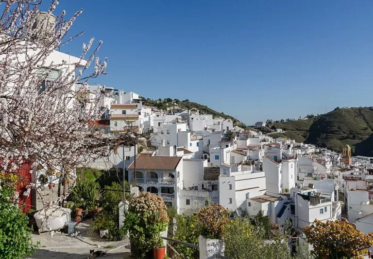
Cómpeta
Higher and cooler, at 638 m, with walks into the Sierra Almijara from the village. Best for walkers with a car.
Mountains and walkingGetting there and around
By air
Málaga airport (AGP) is about 18 km from La Cala del Moral, 37 km from Torre del Mar and 56 km from Nerja in a straight line (OpenStreetMap); road distances are longer.
By car
The A-7 motorway runs behind the whole coast, and the old N-340 coast road links the beaches; Torre del Mar sits on the A-356, A-7 and N-340A axis (Spanish Wikipedia). The white villages are reached on narrow mountain roads.
By bus
Intercity buses of the Málaga metropolitan transport consortium link Torre del Mar with Málaga and Nerja, from the bus station in the old railway station (Spanish Wikipedia). There is no train on this coast: the line from Málaga stopped running in 1968 (English Wikipedia).
A two-day route
By car, west to east, with a night in Torre del Mar or Nerja.
Day 1
Rincón, Torre del Mar and Cómpeta
Start at La Cala del Moral with the Cueva del Tesoro, then drive east to Torre del Mar for the promenade, the sugar museum and fried fish. In the afternoon drive up to Cómpeta and walk through the lanes to Plaza Almijara, then return to the coast.
Day 2
The Caves of Nerja, Maro and Frigiliana
Start at the Caves of Nerja; check opening times and tickets before you go. See the Torre de Maro and Maro beach, then drive up to Frigiliana for lunch and its old town. End on the Balcón de Europa in Nerja.
FAQ
What is the Axarquía?
The eastern part of Málaga province, around Vélez-Málaga, its capital. Its coast runs from Rincón de la Victoria to Nerja and Maro, and its villages climb into the Sierras of Tejeda and Almijara behind.
Is Nerja on the Costa del Sol?
Yes. Nerja is the last town of the Costa del Sol before the Granada border; east of Maro the coast becomes the Costa Tropical.
How do I get from Málaga airport to Nerja?
By car on the A-7, about 56 km in a straight line and further by road, or by bus. Check current bus timetables before you travel.
What are the best beaches near Nerja?
Burriana for services, Maro and Cañuelo for cliffs and clear water, El Playazo for space. Burriana, Torrecilla, Playazo-Chucho and Maro hold Blue Flags in 2026.
Torre del Mar or Nerja: where should I stay?
Torre del Mar for a flat, family-friendly town with long beaches and buses to Málaga; Nerja for coves, the caves and the white villages nearby.
Other areas of the Costa del Sol
Costa del Sol
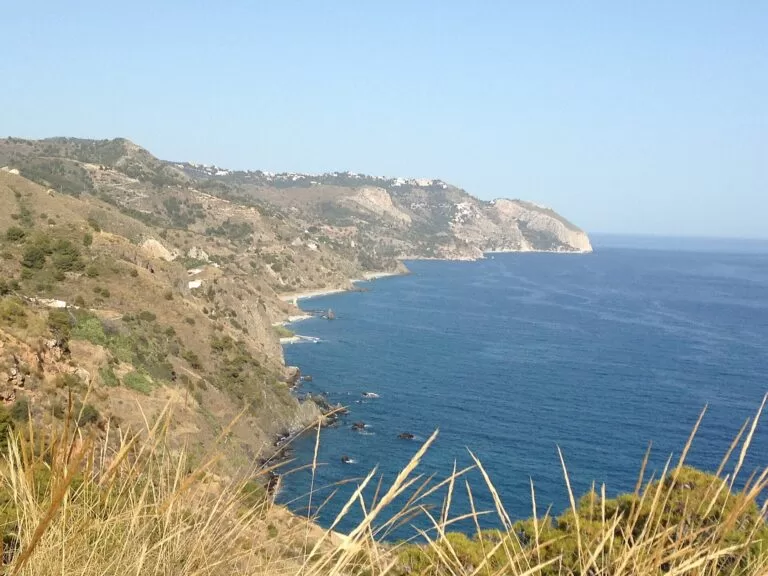
The whole coast of Málaga province from Manilva to Nerja, with the map, the four areas and the inland day trips.
Costa del Sol guide →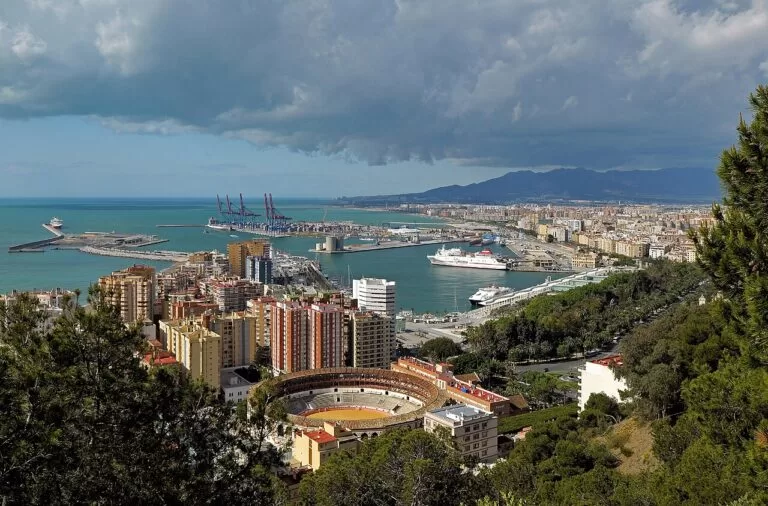
Málaga and the central coast
Málaga city and the resorts on the C-1 train, Torremolinos and Benalmádena, around the airport.
Málaga and central coast guide →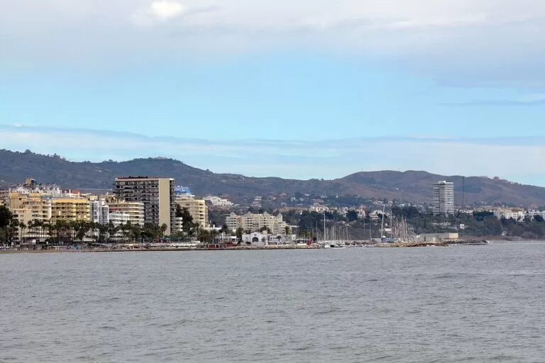
Marbella, Mijas and Fuengirola
Marbella’s old town and Puerto Banús, Mijas Pueblo in the hills and the beaches of Fuengirola.
Marbella, Mijas and Fuengirola guide →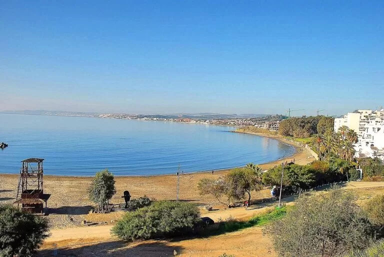
Estepona, Manilva and Casares
The western end, from the Cádiz border: Estepona, the marina of La Duquesa and the white village of Casares.
Estepona, Manilva and Casares guide →East of Maro, in Granada province, the coast continues as the Costa Tropical: Marina del Este is about 13 km from Burriana and the Castle of San Miguel in Almuñécar about 16 km.
Sources and freshness
Checked 7 November 2026. Andalucía.org (Junta de Andalucía tourism) on Rincón de la Victoria, Vélez-Málaga, Torre del Mar, Algarrobo, Torrox, Nerja, Maro, Frigiliana and Cómpeta (population, distances, sights, history). Spain.info (Turespaña) on Nerja, Frigiliana, Torrox, Vélez-Málaga and Torre del Mar, and its beach sheets for Chilches, Benajarafe, Almayate, Mezquitilla, Ferrara, El Playazo, Torrecilla, El Salón, Calahonda, Burriana and Maro. Nerja town hall on the 2026 Blue Flags. Background on Torre del Mar’s roads, buses and railway: Spanish Wikipedia. Map data and straight-line distances: OpenStreetMap (ODbL). Not confirmed: bus routes and timetables, cave opening hours and prices. The town hall sites of Rincón, Vélez-Málaga, Torrox and Cómpeta, the Cueva de Nerja site and visitcostadelsol.com could not be reached when we checked. Photos from Wikimedia Commons: below the Balcón de Europa and Cómpeta by Tuxyso (CC BY-SA 3.0); Torre del Mar beach by Dguendel (CC BY 3.0); Maro beach by Dguendel (CC BY 4.0); Burriana by Haydn Blackey (CC BY-SA 2.0); Sierras de Tejeda by Eliza Saroma-Stepniewska (CC BY-SA 4.0); Cueva de Nerja by Pedro J Pacheco (CC BY-SA 4.0); sardines at Torre del Mar by gildemax (CC BY-SA 2.5); Nerja by Michelle Maria (CC BY 3.0); Frigiliana by Paolo Trabattoni (CC BY 2.0); Maro cliffs by Alexander Wagner García (CC BY-SA 3.0 es); Málaga by Ввласенко (CC BY-SA 3.0); Marbella by Harvey Barrison (CC BY-SA 2.0); Estepona by Turista Inglesa (CC BY-SA 4.0).