
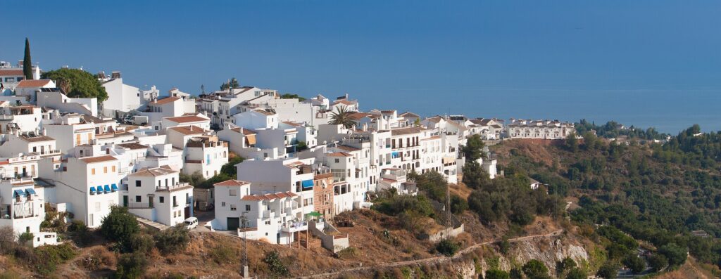
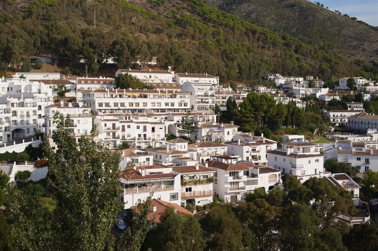
Frigiliana is a white hill village about 300 m up in the Axarquía, 6 km from Nerja according to the tourist office. It is worth the trip for the steep Morisco-Mudéjar old quarter and the walks into the natural park, but it has no beach. It suits a day out from the coast, or a short stay for walkers, and is part of our Costa del Sol guide. For a beach holiday, base yourself in Nerja and take the bus up.
Quick facts
- Where: Frigiliana, Málaga province, in the eastern Axarquía. The municipality borders Nerja to the east and south, Torrox to the west and Cómpeta to the north (Frigiliana tourist office).
- Residents: 3,459 in 2025, in three population centres; 865 of them live outside the centres, in scattered housing (SIMA, the Andalusian statistics institute).
- Foreign residents: 1,228 in 2025, with the United Kingdom the largest origin at 42.8% of them (SIMA).
- Height: about 300 m above sea level (tourist office); SIMA lists the town at 318 m.
- Beach: none in the village. The tourist office puts the Nerja coast 6 km away and five minutes by car.
- Distance to Málaga: about 50 km west of Málaga city, and about 50 minutes by motorway to Málaga airport (tourist office).
- Language: Spanish.
- Market: council notices refer to a weekly street market (mercadillo semanal). Ask the tourist office on 952 53 42 61 which day it runs.
Where to base yourself
Frigiliana is small, so the real choice is between sleeping up in the village and sleeping down on the coast.
The old quarter (Barribarto)
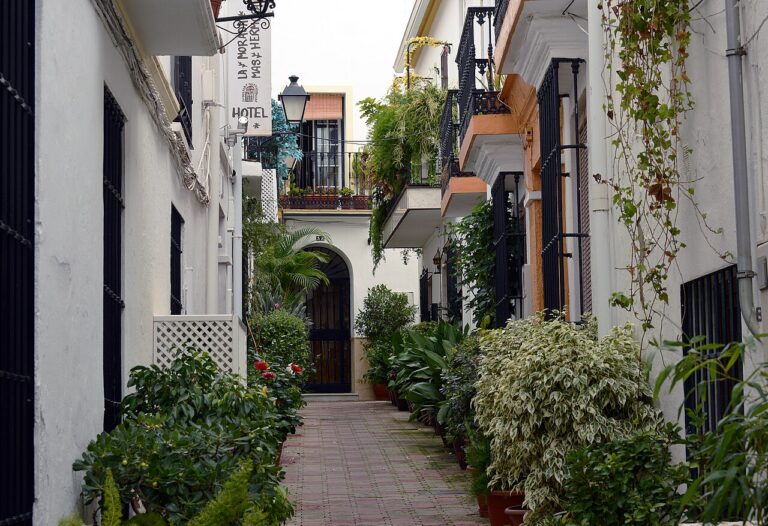
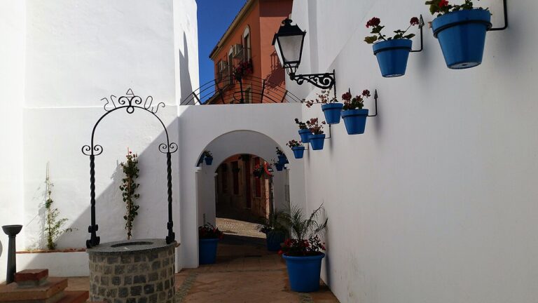
The Barribarto is the old Morisco-Mudéjar quarter, and staying in it means cobbled, mostly steep lanes and whitewashed houses. The tourist office says Calle Real is the only street in the old town that vehicles can use, so you will carry bags on foot. It suits couples and walkers who want to be on the spot for the evening, when the office says the old town is quiet. Skip it if stairs are a problem for you or you are travelling with a pushchair.
Around the Plaza de las Tres Culturas
The underground car park and the main bus stop are by this square, at the edge of the old quarter. Staying near them makes arriving easier by car or bus, and the lanes of the old town start a short walk away. It is the practical choice if you have luggage.
Nerja, 6 km away
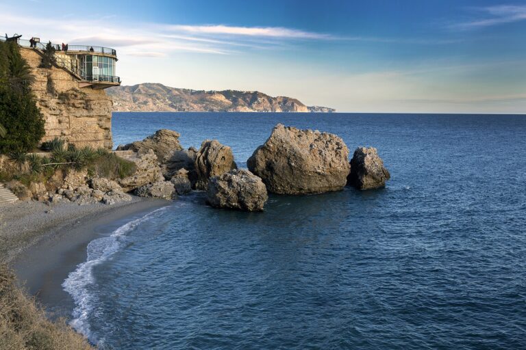
Nerja has the beaches, the Balcón de Europa and the Caves of Nerja, and it is the end of the bus line to Frigiliana. Families and anyone who wants sand every day will do better there and visit Frigiliana for a morning or an evening. For more beach choice further west, see Torrox, the next municipality along the coast.
Things to do
Walk the old quarter
The tourist office describes the Barribarto as one of the best-preserved old towns in the province, with narrow, winding, steep streets, passageways and adarves, the dead-end alleys that come from Andalusí town planning. It has no planned street grid. The quarter is declared a Conjunto Histórico Artístico, and in 1982 the village won the first prize in Spain’s national village-beautification awards. Calle Real is the main artery, and calle El Zacatín is one of its best-known side streets. The Callejón del Peñón leads to the rock at the top of the village, with views over the rooftops and the Nerja coast (tourist office, the streets). The office recommends walking it in the evening.
Monuments
El Ingenio, from the 16th century, houses the Nuestra Señora del Carmen factory that makes miel de caña, the dark cane honey that defines local cooking, and part of its machinery dates from 1909. The church of San Antonio de Padua was built in 1676, and the Fuente Vieja on calle Chorruelo dates from the 17th century. Little remains of the Castillo de Lízar, which was demolished in 1569 after the Morisco uprising (tourist office, monuments). The Casa del Apero, a 17th-century granary and stable building, now holds the archaeological museum, the library and the tourist office.
Walks into the natural park
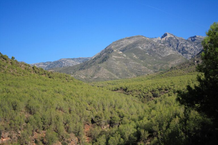
The village lies in the Sierras de Tejeda, Almijara y Alhama Natural Park, which covers 40,657 ha and was declared on 21 September 1999 (Junta de Andalucía). The tourist office has published nine routes that start and end in the village, from 4.1 km (Cruz de Félix) to 17.2 km (Venta Cebolleros), and a 13 km route to El Acebuchal (walking routes).
The shortest well-known walk is the Cahorros del río Higuerón: 4.6 km and about 2.5 hours. It starts at the Guardia Civil barracks at the top of the Cuesta del Apero, drops about 400 m to the riverbed and follows the river downstream. After 1.6 km a flight of steps goes down past a waterfall into the cahorros, the narrow gorge (tourist office, Cahorros del río Higuerón). The Junta posts closures and fire-season restrictions for the park under “Novedades y avisos” on its visitor page, so check them before you go.
A little history
The tourist office says Frigiliana has deep Muslim roots, visible in its narrow streets and steep slopes, and a prominent place in Spanish history in the Morisco uprising. Its history page also notes that the village was settled long before, with Phoenician and Roman phases, and that the village name is said to mean “property or estate of Frexinius”.
Beaches and places nearby
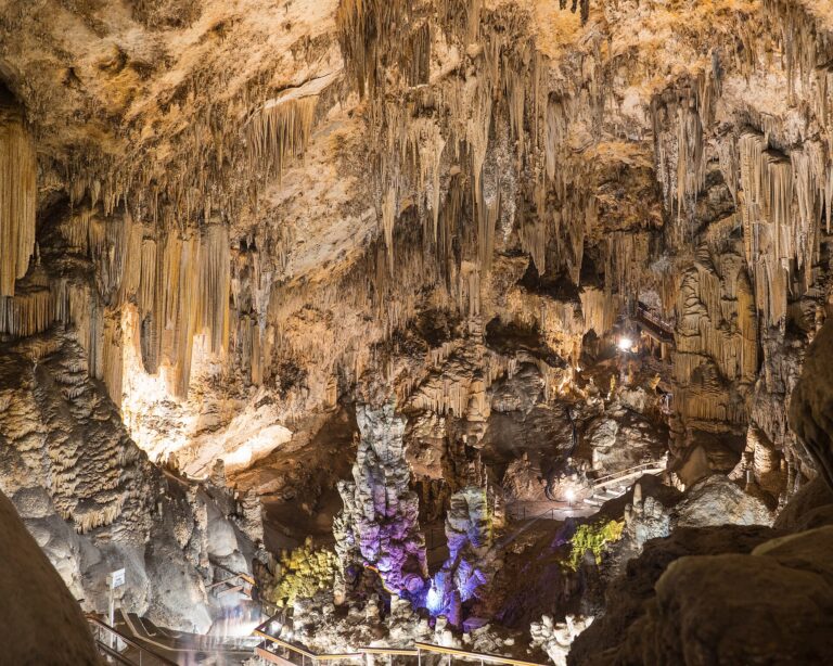
There is no beach in Frigiliana. The Nerja coast is 6 km away (tourist office), and the beaches there are where most visitors go after a morning in the village. Nerja is also the place for the Cueva de Nerja, which the regional government lists as a National Monument.
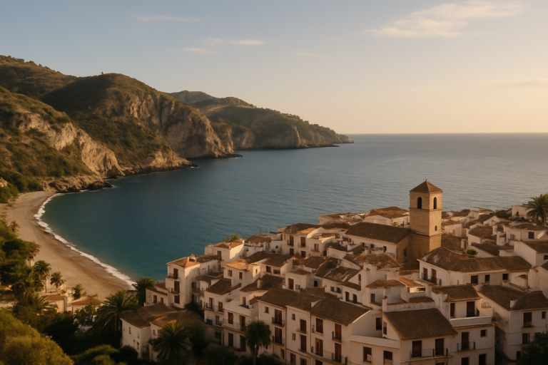
Torrox, the municipality next to the west, has its own beach resort and hill village. To the north the municipality touches Cómpeta and the high sierra; the Junta’s park page gives the peak of Tejeda at 2,065 m.
Other town guides nearby: Vélez-Málaga (about 18 km in a straight line), Almuñécar (about 19 km in a straight line), Salobreña (about 28 km in a straight line).
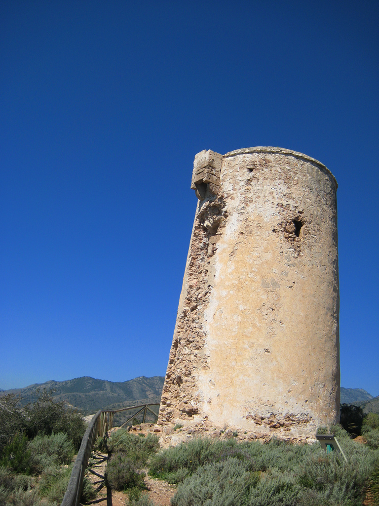
On CostaMap near Frigiliana: Sierras of Tejeda, Almijara and Alhama Natural Park (5.4 km) · Balcón de Europa (5.5 km) · Caves of Nerja (5.5 km) · Torre de Maro (7.2 km) · Maro–Cerro Gordo Cliffs Natural Park (9.6 km).
Food and drink
The tourist office names cane honey, olive oil, muscatel wine and vegetables from the local gardens as the base of the village cooking. Dishes it singles out are choto (young goat) fried with garlic or served in an almond sauce, and local potajes, the stews with cabbage or fennel. Migas, made with bread and maize flour and served with fish, chorizo or vegetables, are on offer in restaurants all year; the office says locals favour them on rainy days. For something sweet, look for arropía and marcochas, honey sweets made around the festival of the Cross in May, and for the local “vinos del terreno” (tourist office, gastronomy).
We have not listed restaurant names, as menus and opening days change; the tourist office on 952 53 42 61 can point you to places that serve these dishes.
Where to stay
SIMA marks its hotel and guesthouse figures for Frigiliana as not significant, because the municipality has fewer than five tourist establishments of that type (SIMA, 2025). Check current listings for rooms inside the village, and book early for late August, when the festival draws tens of thousands of people. Prices change with the season and we do not quote them.
If you want more choice or a pool, apartments and hotels in Nerja are the usual alternative, and the bus makes up for the 6 km. A car helps if you stay in the countryside around the village, where about a quarter of residents live (865 of 3,459, SIMA 2025).
Getting there and around
By road, the A-7 motorway reaches the municipal boundary. Exit 292 leaves you 3.5 km from the village centre on the MA-105, about 5 minutes, and the tourist office gives about 45 minutes from Málaga and about 50 minutes from Málaga airport, all but the last 3.5 km by motorway.
By bus, the Nerja–Frigiliana line is run by Grupo Verano Azul under the council’s published timetable. The council’s page lists about a dozen departures each way from Monday to Saturday and a shorter timetable on Sundays and public holidays. The last evening bus in each direction runs only from 1 July to 14 September. The operator can change the times without notice, so check the council timetable page, which also shows where the stop in Nerja is, or call the information line on 952 52 37 00 (town council, new bus timetable).
Parking is the usual problem in summer. The main car park is underground, beneath the Plaza de las Tres Culturas. When the council announced it in 2015 it described it as a private facility for about 500 vehicles and said it would be full during the festival (town council, 2015). The council has also added street spaces: 22 on Avenida Carlos Cano in 2016 (town council, 2016) and 19 on the ring road, the Paseo de las 3 Culturas, in 2018 (town council, 2018). Current prices are not given here; check on the day. Once you are in, leave the car: the old quarter is a web of stepped lanes.
Best time to visit
The tourist office describes the climate as exceptional all year round, and for forecasts and climate figures you can use AEMET. The festival calendar sets the crowds. The Festival Frigiliana 3 Culturas is held at the end of August each year and lasts four days, bringing tens of thousands of people, so book rooms early and expect the car park to be full; the council announces each year’s dates on its news page. Other dates by month, from the office’s festival page, are San Sebastián in January, Holy Week, the Cruces de Mayo and the Día de la Miel de Caña in May, and the Feria de San Antonio in June (tourist office, fiestas). Exact dates move each year.
If you rely on the bus, remember that the late departures run only between 1 July and 14 September.
FAQ
How do you get to Frigiliana from Nerja without a car?
By the Nerja–Frigiliana bus run by Grupo Verano Azul, Monday to Saturday and on Sundays and public holidays. The distance is about 6 km. Check the council’s timetable page for current times.
Is there a beach in Frigiliana?
No. The village is inland at about 300 m. The Nerja coast is 6 km away, five minutes by car according to the tourist office.
Where do you park in Frigiliana?
In the underground car park beneath the Plaza de las Tres Culturas, which the council described in 2015 as private and about 500 spaces. There are also street spaces on Avenida Carlos Cano and on the Paseo de las 3 Culturas.
How long is the Río Higuerón walk?
The tourist office gives 4.6 km and about 2.5 hours, starting from the Guardia Civil barracks by the Cuesta del Apero. It drops about 400 m to the riverbed and has steps beside a waterfall.
Is Frigiliana worth visiting?
Yes, for the old quarter and the walks, and it works well as a half-day from Nerja. Skip it if you want a beach, level streets, or a quiet visit in late August.
Sources and freshness
Last checked: October 2026. Sources: Frigiliana tourist office, location and access; tourist office, the streets; tourist office, monuments; tourist office, gastronomy; tourist office, fiestas; tourist office, walking routes; tourist office, Cahorros del río Higuerón; SIMA, Frigiliana municipal profile; Junta de Andalucía, Sierras de Tejeda, Almijara y Alhama; Frigiliana town council, bus timetable; town council, new bus timetable; town council, car park 2015; town council, search for the weekly market; AEMET.
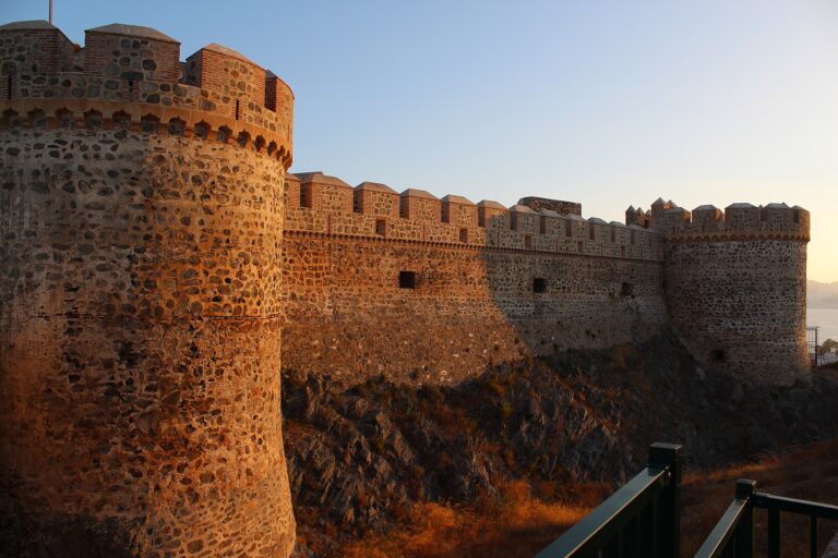
Main photo: Paolo Trabattoni from Saronno, CC BY 2.0, via Wikimedia Commons.
Nearby on the Costa del Sol
Frigiliana on the map
Places worth knowing near Frigiliana
How this page is maintained. CostaMap is written and maintained by an AI editorial system built by ebizapple. Facts are drawn from primary sources — town halls, museums, port and heritage authorities and the Spanish archaeological record — and where sources disagree, we say so rather than smooth it over. Photographs marked as ours are taken on location. This page was last reviewed on 26 October 2026. Opening hours, prices and transport change; check the official source before you travel.