
Costa Brava · Alt and Baix Empordà
L’Escala, Empúries and the Montgrí travel guide: Sant Pere Pescador to L’Estartit
Greek and Roman Empúries by the sea, anchovies in L’Escala, the limestone Montgrí, the Medes Islands marine reserve and long dune beaches from the Fluvià to the Ter.
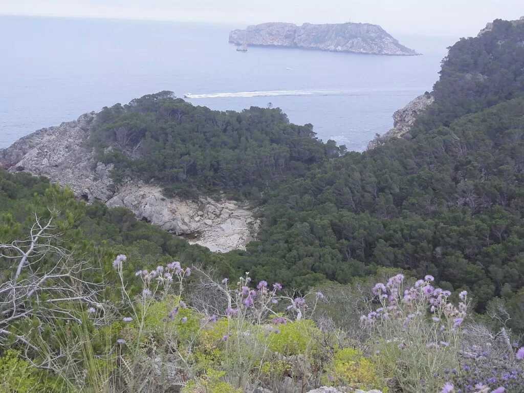
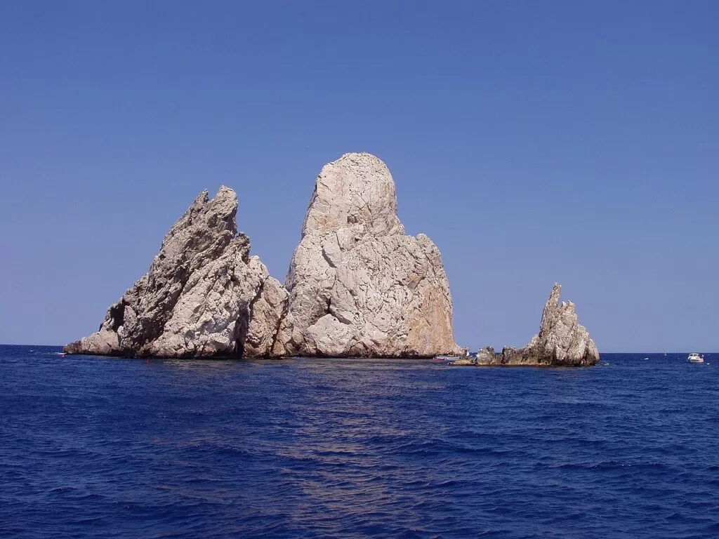
The Montgrí coast and the Medes Islands · Photo: Isidro Jabato, CC BY-SA 4.0
Part of the Costa Brava guide · Other areas: Cap de Creus and the Bay of Roses · Begur, Palafrugell and Palamós · Sant Feliu, Tossa, Lloret and Blanes
This stretch of the Costa Brava is the southern end of the Bay of Roses and the Montgrí coast: about 20 km in a straight line from the dune beach of Sant Pere Pescador, past L’Escala and the ruins of Empúries, round the cliffs of the Montgrí to L’Estartit and the mouth of the Ter, where the beach of Pals begins. Much of it lies in the Montgrí, Illes Medes and Baix Ter Natural Park, which reaches from L’Escala to Pals and covers more than 8,000 hectares, 2,000 of them at sea. This guide covers each town, the beaches, what to do, where to stay and how to get around.
At a glance
- Where from the mouth of the Fluvià at Sant Pere Pescador, south through L’Escala and round the Montgrí to L’Estartit and the Ter estuary, on the edge of the beach of Pals.
- Towns Sant Pere Pescador, Sant Martí d’Empúries, L’Escala, Torroella de Montgrí and L’Estartit.
- Nature the Montgrí massif, the Medes Islands marine reserve, the Baix Ter wetlands, and the Aiguamolls de l’Empordà just north.
- Best for ancient history, diving and snorkelling, family beaches, kitesurfing and coastal walks.
- Getting there AP-7 exit 5 (Orriols) for L’Escala or exit 6 for Torroella; the nearest stations are Figueres, Flaçà and Girona, with buses on.
- On CostaMap Empúries, Cala Montgó, the Medes Islands, L’Estartit, Montgrí Castle, Sant Pere Pescador and three campsites.
Map of L’Escala, Empúries and the Montgrí
The places in this area with a CostaMap page. Tick a place type to filter, and click a marker to see the place in the panel.
Place type
Area · next level
 Area map
L’Escala, Empúries and the Montgrí
Click a marker to see the place here. Sant Pere Pescador, Empúries, L’Escala, the Montgrí and L’Estartit with the Medes Islands.
Towns and villagesTowns and villages
From north to south, following the coast. Populations are from the Catalan Tourist Board and the natural park.
Sant Pere Pescador
Sant Pere Pescador (1,804 inhabitants) is a flat farming village on the Fluvià, a little inland in the middle of the Bay of Roses. Its coast runs from the mouth of the Fluvià to the Riuet, the old river mouth on the boundary with L’Escala (catalunya.com). The six kilometres of dune beach are among the best places in Catalonia for kitesurfing and windsurfing, and the northern end lies in the Aiguamolls de l’Empordà Natural Park.
Sant Martí d’Empúries
Sant Martí, part of L’Escala, stands on a rocky promontory that was once an island. The first Greek colony, the Palaiapolis, was founded here, and the village was capital of the county of Empúries until the 9th century. Today it is a small, fully restored medieval village inside its wall, with a late Gothic church of the 16th century, the remains of a 13th–14th century castle and several restaurants (catalunya.com). Behind the church, the Mirador de les Coves looks over the whole Gulf of Roses to the Pyrenees (catalunya.com).
Empúries
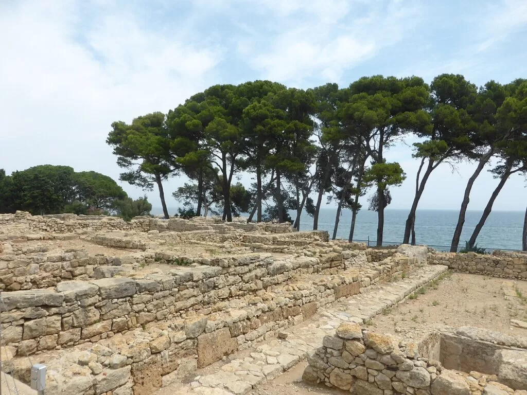
Just south of Sant Martí are the ruins of Empúries, the only archaeological site in the Iberian Peninsula where a Greek city, Emporion, stands beside a Roman one, Emporiae. Greek traders from Phocaea built the Neapolis by the beach around 575 BC; the Romans landed in 218 BC and set up a camp that became their city, later joined to the Greek town (catalunya.com). Halfway round the visit is the site museum, a section of the Museu d’Arqueologia de Catalunya, with finds from the excavations (catalunya.com).
L’Escala
L’Escala (10,339 inhabitants in 2020, per the natural park) began in the 16th and 17th centuries as the fishing quarter of Sant Martí and became the municipal capital in the 18th. Fishing is still part of its economy, and its salted anchovy, which has its own designation, is the souvenir everyone takes home. The old quarter has the church of Sant Pere, the 17th-century Alfolí de la Sal, a former salt store, and the birthplace of the writer Caterina Albert. The Anchovy Festival is on the first Sunday of October (catalunya.com), and the Anchovy and Salt Museum fills the old slaughterhouse of 1913 (catalunya.com). Divers come for the Coves d’en Kim and the wreck of the Marmoler at 42 m.
Cala Montgó and the Montgrí coast
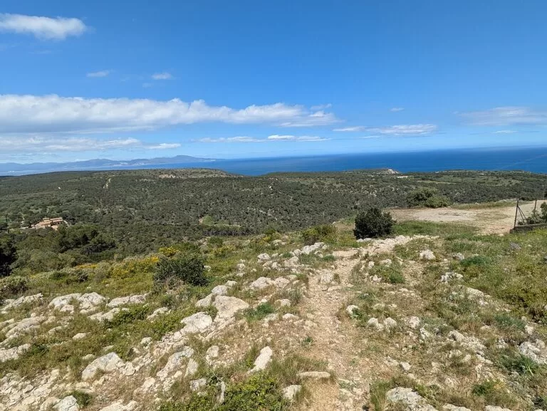
South of the town the coast turns to cliff. Cala Montgó is a 180 m sandy bay sheltered from the tramuntana by Montgó hill, which is topped by a 16th-century watchtower at 105 m; beyond it, as far as Punta Milà, the coast is unspoilt (catalunya.com). From here to L’Estartit the Montgrí meets the sea in limestone cliffs with sea caves and small coves reached on foot or by boat. A short park loop links Cala Montgó and Salpaig (3.6 km).
Torroella de Montgrí
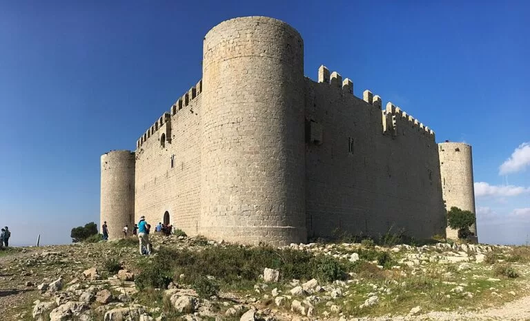
Torroella de Montgrí (11,645 inhabitants in 2020, per the park) lies 6 km from the sea between the Montgrí and the river Ter. A royal town in the 13th and 14th centuries, it keeps the Torre de les Bruixes, the Portal de Santa Caterina, an arcaded main square and the Gothic church of Sant Genís. The Museu de la Mediterrània in Can Quintana houses the park’s interpretation centre, and the Torroella Festival of music runs every summer (catalunya.com). Above the town is Montgrí Castle, begun in 1294 and never finished, reached by a two-hour walk.
L’Estartit
L’Estartit, the seaside village of Torroella, was founded in the 18th century, once piracy declined, and its port shipped the area’s wheat, rice and wine until the 20th century. Carrer de Santa Anna keeps the Clock Tower and two Indianos houses of 1875 (catalunya.com). It is the base for the Medes Islands, about a kilometre offshore, and for diving, glass-bottom boats and water sports, and its long beach runs south to the Ter.
The Ter estuary and the beach of Pals
South of L’Estartit, the Pletera salt marsh, the Ter Vell lagoons and the Gola del Ter, the river mouth, lie behind the dunes; the park counts an almost unbroken 6 km of natural beaches from L’Estartit to Pals (park guide). Across the Ter, the beach of Pals is more than 4 km long; the masts of the Cold War Radio Liberty station stood behind it until 2006 (catalunya.com). The walled hilltop village of Pals is inland, and campsites such as Alannia Neptuno sit behind the beach; Pals and Begur are covered in the next area south.
Beaches and coves
Lengths and services are as the Catalan Tourist Board gives them, checked in November 2026. The beaches of the bay are sandy and shallow; the Montgrí coast between L’Escala and L’Estartit has rocky coves.
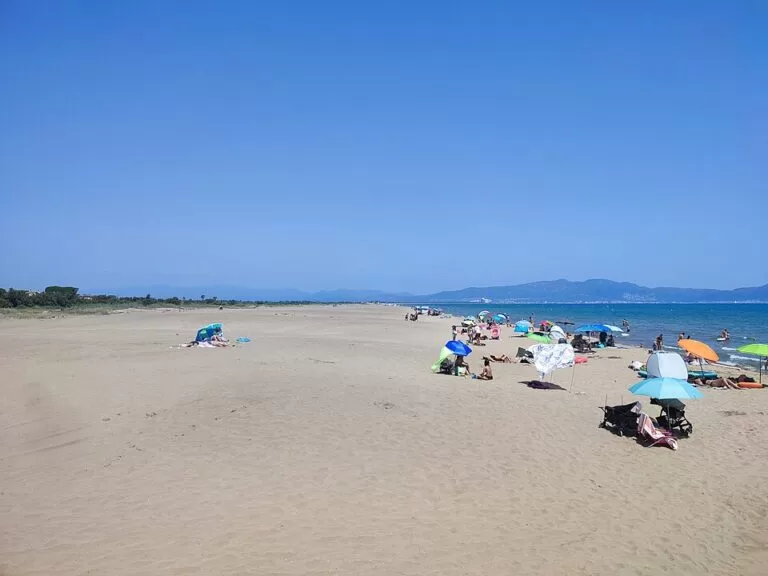
Sant Pere Pescador beach
About six kilometres of dunes and fine sand in sections. La Gola, at the Fluvià mouth, is car-free; Can Martinet has a Blue Flag and a kitesurf area (catalunya.com).
See Sant Pere Pescador →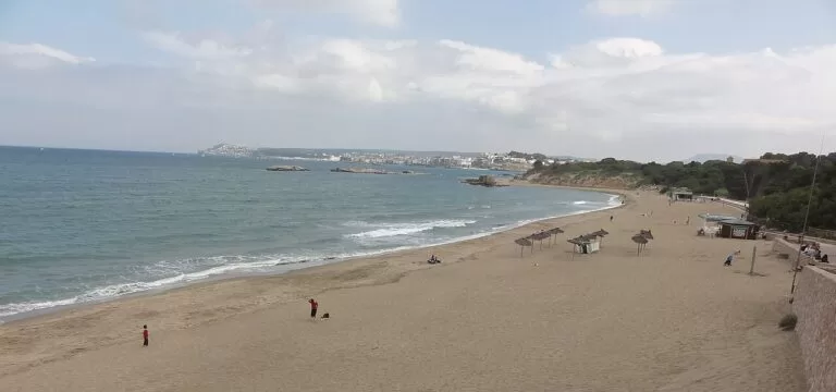
Les Muscleres and the Moll Grec
Les Muscleres is 350 m of fine grey sand between two islets, with full services and shallow water, right below the Greek city; the Passeig de les Dunes links it with the Moll Grec and Sant Martí (catalunya.com).
See Empúries →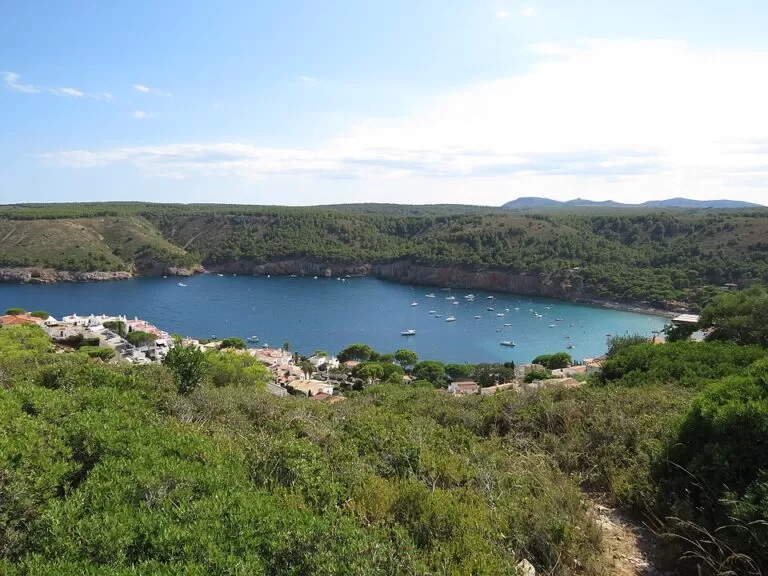
Cala Montgó
180 m long and 50 m wide, fine sand and a very gentle slope; showers, hire, beach bars, a car park and ramps for disabled visitors (catalunya.com).
See Cala Montgó →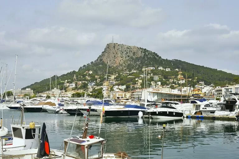
Platja Gran, Griells and La Pletera
A long, narrow beach of fine sand from the port to the Ter, a little over 3 km; Platja Gran in front of the village is the widest and busiest, with all services (catalunya.com).
See L’Estartit →Also on this stretch, from north to south:
- Riells (L’Escala): 582 m of medium sand in the most modern part of town, sheltered and shallow, with La Clota port at its west end, used by the Romans as a secondary quay for Empúries (catalunya.com).
- Cala de la Creu (L’Escala): about 80 m of sand and flat rock reached by steps; no services (catalunya.com).
- El Rec del Molí (L’Escala): 350 m of grey sand under pines, with lifeguards, showers and access for the disabled, where the Camí de les Coves begins (catalunya.com).
- Platja de Pals: more than 4 km of sand south of the Ter, with full services; strong easterlies raise waves that draw windsurfers and kitesurfers (catalunya.com).
Things to do
Greeks and Romans at Empúries
The site has four parts: the old city under Sant Martí, the Greek Neapolis by the beach, the Roman city on the hill behind, and the still undiscovered native town of the Indigetes, thought to be called Indike (catalunya.com). Inland, the Iberian Town of Ullastret, capital of the Indigetes, completes the story.
Diving and boat trips at the Medes
The seven Medes islets are a full nature reserve on land and a partial marine reserve at sea, with cliffs that drop to 50 m, coralline walls, tunnels and caves, Posidonia meadows and large fish such as groupers and eagle rays. Landing needs park permission; diving, anchoring and sailing are regulated (park guide). Dive or snorkel with an authorised centre in L’Estartit, or take a glass-bottom boat. The park also lists 16 dive sites along the Montgrí coast.
Walking the Montgrí
The park has 26 signposted walks with downloadable tracks, and nearly 180 km of walking and cycling routes in all. The classic is route 1 to Montgrí Castle: 4.9 km there and back from Torroella, 255 m of climb, about 2 hours. Others go to the continental dune (4.3 km), round the Gola del Ter (8.7 km, easy) and along the coast to L’Escala (21.5 km) (park). Carry water: there are no fountains with guaranteed drinking water.
Wetlands, birds and anchovies
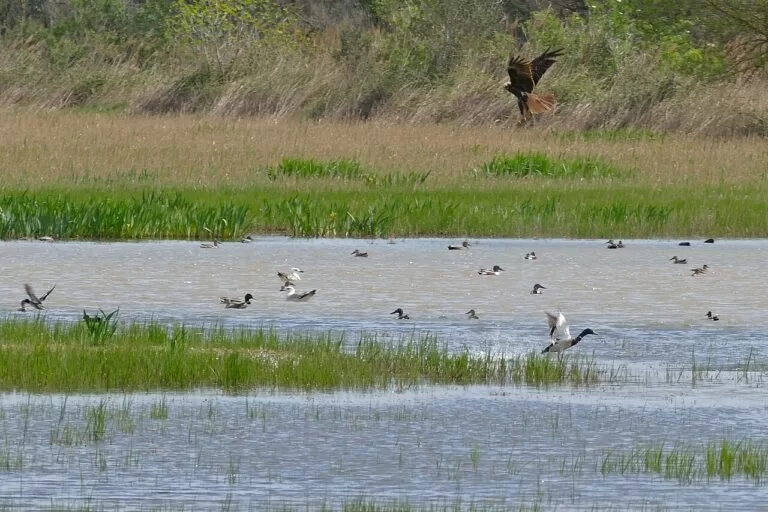
More than 200 bird species have been recorded in the Montgrí park. In the Baix Ter, the Pletera trail from L’Estartit passes the Ter Vell hide and the restored salt marsh, home of the endangered fartet, on its way to the river mouth (catalunya.com). Back in L’Escala, try the salted anchovies and the local sea snails, which have their own food days, or come for the Anchovy Festival in October.
Where to stay by town
We do not recommend individual hotels. These are the bases that make the most sense, from north to south.
Sant Pere Pescador
Campsites behind the dunes, apartments and a quiet village; the base for kitesurfing and the Aiguamolls. A car or bike is needed for the beach.
Wind sports and camping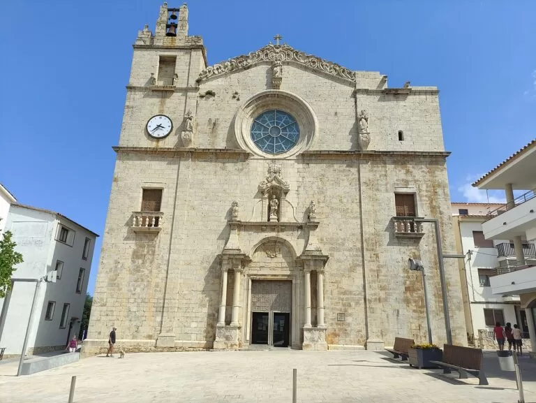
L’Escala
The widest choice of rooms and restaurants, a bus link to Figueres and Girona, and Empúries within walking distance. Wecamp Cala Montgó and Wecamp L’Escala Punta Mila are two campsites on the south side of town.
History and food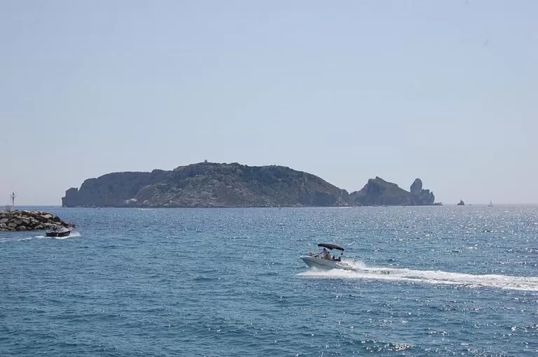
L’Estartit
Hotels, apartments and campsites by the beach and the harbour; the base for diving and boat trips to the Medes, and for families.
Diving and beachTorroella de Montgrí
A real town with an old centre and a summer music festival, 6 km from the sea, at the foot of the castle walk. Autocaravaning La Granja is an all-year motorhome stop here.
Town life and walkingGetting there and around
By air
Girona–Costa Brava Airport (GRO) is the nearest; see the Costa Brava guide for its bus links. From there it is a drive or a bus via Girona or Figueres.
By car
For L’Escala, leave the AP-7 at exit 5 (Orriols, 20 km away) and take the GI-623; for Torroella and L’Estartit, take exit 6, the C-66 towards La Bisbal and the GI-643 (park; catalunya.com). Summer car parks fill early at the coves.
By train and bus
No train runs along this coast. The nearest stations are Figueres, Flaçà and Girona (with high-speed trains at Girona and Figueres–Vilafant), and buses run from Figueres and Girona to L’Escala; Moventis-Sarfa and AMPSA-Gironabus serve the towns (park). Buses link Torroella with L’Estartit, and Sant Pere Pescador with Figueres and L’Escala. We could not open the timetables.
A 1–2 day route
Day 1: Empúries and L’Escala
Start early at Empúries and spend the morning in the Greek and Roman cities and the museum. Walk north to Sant Martí d’Empúries for lunch and the view from the Mirador de les Coves, then follow the Passeig de les Dunes back past Les Muscleres to L’Escala. Finish with a swim at Cala Montgó and anchovies in the old quarter. With more time, add Sant Pere Pescador and its kitesurfers.
Day 2: the Montgrí and the Medes
Walk up to Montgrí Castle from Torroella before the heat, about two hours there and back, and look round the old town and the Museu de la Mediterrània. Drive to L’Estartit for an afternoon boat trip or snorkel at the Medes Islands, then end with the Pletera trail to the mouth of the Ter.
FAQ
Where is L’Escala?
On the Costa Brava in Girona province, at the southern end of the Bay of Roses in the Alt Empordà, next to the ruins of Empúries. Figueres and Girona are the nearest cities.
Is L’Escala or L’Estartit the better base?
L’Escala is better for Empúries, food and the bay beaches; L’Estartit is better for diving and boat trips to the Medes and for the long family beach. They are about 9.5 km apart in a straight line, with the Montgrí in between.
How do you get to the Medes Islands?
By boat from L’Estartit, about a kilometre away: glass-bottom boats, boats with underwater cabins, or dive and snorkel trips with authorised centres. You cannot land on the islands without park permission.
Can you visit Empúries all year?
Yes. The tourist board says the ruins and the museum can be visited all year; check opening times and tickets with the Museu d’Arqueologia de Catalunya before you go.
Where is the best kitesurfing on the Costa Brava?
The tourist board names Sant Pere Pescador as one of the best areas in Catalonia, thanks to its constant wind; Can Martinet beach has an area set aside for kitesurfing.
How long is the walk to Montgrí Castle?
4.9 km there and back from the free El Montgrí car park in Torroella, with 255 m of climb, about two hours on the natural park’s route.
Other areas of the Costa Brava
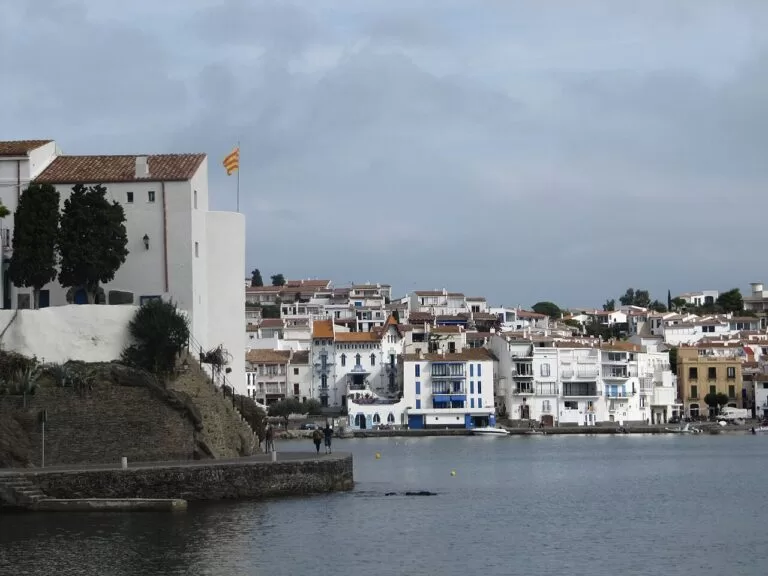
Cap de Creus and the Bay of Roses
Cadaqués, Dalí’s Portlligat, the Cap de Creus Natural Park, Roses and the Aiguamolls wetlands.
Cap de Creus and Roses guide →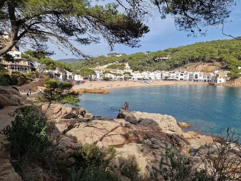
Begur, Palafrugell and Palamós
The coves of Begur, the camí de ronda between Calella, Llafranc and Tamariu, Pals and the fishing port of Palamós.
Begur and Palafrugell guide →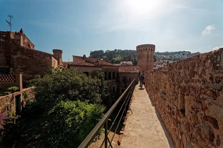
Sant Feliu, Tossa, Lloret and Blanes
Sant Feliu de Guíxols, walled Tossa de Mar, Lloret’s beaches and Blanes at the southern end of the coast.
Tossa, Lloret and Blanes guide →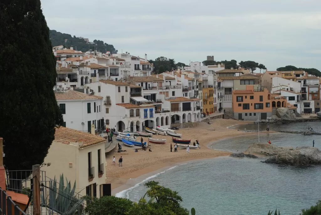
Costa Brava
The full guide to the coast of Girona, with the map, trains, weather and campsites.
Costa Brava guide →Sources and freshness
Checked 6 November 2026. Facts come from the Catalan Tourist Board pages linked in each section (municipalities of L’Escala, Sant Pere Pescador and Torroella de Montgrí, the beaches, Empúries and its museum, Sant Martí d’Empúries, the Anchovy and Salt Museum, L’Estartit and the Pletera trail, the Montgrí massif), from Spain.info on L’Escala and L’Estartit, and from the Montgrí, Illes Medes and Baix Ter Natural Park: its key data (area, municipalities, 2020 populations), signposted routes, access page and English park guide. Straight-line distances are from OpenStreetMap; campsite details are as on our place pages. The local tourism websites of L’Escala, L’Estartit and Sant Pere Pescador, and the Empúries museum site, could not be opened from here, so opening hours and ticket prices are not given.
Photo credits · 16 photos from Wikimedia Commons Show
Photos from Wikimedia Commons, not altered except for cropping: Montgrí and Illes Medes by Isidro Jabato (CC BY-SA 4.0); Massís del Montgrí, L’Estartit by Alan Mattingly (CC0); Can Sopa, Sant Pere Pescador by Joandrés (CC BY-SA 4.0); L’Estartit harbour by Alberto-g-rovi (CC BY 4.0); Montgrí Castle by Lohen11 (CC BY-SA 4.0); Platja del Moll Grec by Isidro Jabato (CC BY-SA 4.0); Cala Montgó by Enric (CC BY-SA 4.0); Empúries by Jacques Le Letty (CC BY-SA 4.0); Illes Medes by KimSat (CC BY-SA 3.0); Aiguamolls de l’Empordà by Bernard DUPONT from FRANCE (CC BY-SA 2.0); L’Escala by Utolotu (CC BY-SA 4.0); Illes Medes from L’Estartit by Surcando (CC BY-SA 3.0); Cadaqués by Otger Cataló (CC BY 3.0); Tamariu by Chris j wood (CC BY-SA 4.0); Vila Vella, Tossa de Mar by Txllxt TxllxT (CC BY-SA 4.0); Calella de Palafrugell by juan.motje (CC BY 3.0).