
Costa Brava · Southern Costa Brava
Sant Feliu, Tossa, Lloret and Blanes travel guide: the southern Costa Brava
The monastery town of Sant Feliu de Guíxols, walled Tossa de Mar, the big resort of Lloret and Blanes with its botanical gardens, from S’Agaró down to Sa Palomera rock.
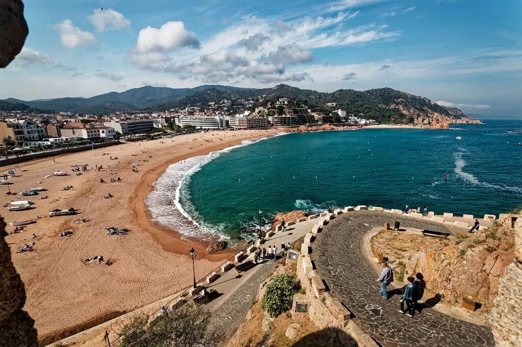
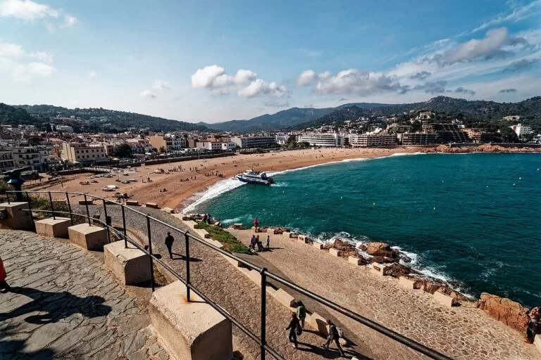
Platja Gran, Tossa de Mar · Photo: Txllxt TxllxT, CC BY-SA 4.0
Part of the Costa Brava guide · Southern Costa Brava
The southern Costa Brava is the stretch of coast from S’Agaró and Sant Feliu de Guíxols, at the south end of the Baix Empordà, through Tossa de Mar and Lloret de Mar to Blanes, where the rock of Sa Palomera marks the start of the Costa Brava (catalunya.com). It is about 25 km in a straight line, closer to Barcelona and Girona airport than the rest of the coast, and mixes big resorts and town beaches with pine-backed coves, a walled medieval town and two cliff-top gardens. This guide covers each town from north to south, the beaches, what to do, where to base yourself, getting there and a two-day route.
At a glance
- Where the south end of the Costa Brava in Girona province, from S’Agaró and Sant Feliu de Guíxols to the mouth of the Tordera at Blanes.
- Towns S’Agaró, Sant Feliu de Guíxols, Tossa de Mar, Lloret de Mar and Blanes; inland Llagostera, Vidreres and Maçanet de la Selva.
- Best for a walled old town, family beaches, coves on the camí de ronda, gardens above the sea, nightlife in Lloret and day trips from Barcelona.
- Getting there Girona-Costa Brava Airport is about 24–26 km from each town in a straight line; Blanes has a Rodalies R1 train from Barcelona, and buses link Lloret and Tossa with Girona and Barcelona.
- On CostaMap guides to Tossa de Mar, Cala Pola, Marimurtra, the Santa Clotilde Gardens, Water World Lloret, two coastal walks and three campsites.
Map of the southern Costa Brava
The map shows the places between S’Agaró and Blanes that have a CostaMap page. Tick a place type to filter, and click a marker to see the place in the panel.
Place type
Area · next level
 Area map
Southern Costa Brava
Click a marker to see the place here. From S’Agaró and Sant Feliu to Tossa, Lloret and the gardens of Blanes.
Towns and villagesTowns and villages
From north to south, as described by catalunya.com, the Catalan tourist board, and Spain.info.
S’Agaró and Castell-Platja d’Aro
S’Agaró is a garden suburb planned for wealthy families in the 1920s, next to Sant Feliu de Guíxols. The Ensesa family commissioned it, the architect Rafael Masó began the work in 1924 by mixing noucentista architecture with the English garden-city idea, and Francesc Folguera continued it ten years later; the whole is an Asset of Cultural Interest (catalunya.com). It belongs to Castell-Platja d’Aro, with the beach resort of Platja d’Aro and, inland, the walled historic centre of Castell d’Aro around the 11th-century castle of Benedormiens (catalunya.com). Our guide to the Camí de Ronda from S’Agaró to Platja d’Aro covers the walk.
Sant Feliu de Guíxols
Sant Feliu sits on a small bay between the Sant Elm hill and the Molí de les Forques, and grew rich on cork, fishing and money brought back from the Americas. Its centrepiece is the Benedictine monastery, documented since the 10th century, whose walled enclosure keeps work from every period since the 9th–10th centuries, including the Porta Ferrada gateway. The monastery now houses the City History Museum and, in summer, the Espai Carmen Thyssen exhibitions. The chapel of Sant Elm, in its present form from 1723, has views from Tossa to Begur (catalunya.com). The Porta Ferrada music festival runs in July and August. See our Sant Feliu de Guíxols guide.
Tossa de Mar
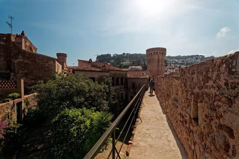
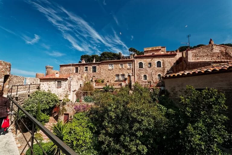
Tossa is the Roman Turissa, on a bay between two hills. Its Vila Vella, on the cape at the end of Platja Gran, is described as the only fortified medieval town preserved on the Catalan coast; the walls were built between the 12th and 14th centuries against pirates (catalunya.com). The enclosure has been a National Monument since 1931 and keeps most of its towers, among them the Torre de les Hores, where a public clock was installed in the 15th century (catalunya.com). The Municipal Museum, founded in 1935, shows Roman finds from the Els Ametllers villa and Marc Chagall’s The Celestial Violinist. See our Tossa de Mar destination guide and the Tossa de Mar town page.
Lloret de Mar
Lloret is the biggest resort of the stretch and one of the main tourist centres of the Costa Brava. Its six beaches run from Sa Caravera to Sa Caleta: Lloret, Fenals, Sa Boadella, Santa Cristina, Canyelles and Treumal. In town, see the church of Sant Romà (1522, with a Modernista chapel by Bonaventura Conill), the Museu del Mar in the Garriga houses, the ruins of the castle of Sant Joan between Fenals and Lloret beaches (catalunya.com). The Modernista cemetery, opened in 1892, has tombs paid for by families who made their fortunes in the Americas (catalunya.com). On the cliffs above Sa Boadella are the Santa Clotilde Gardens. See our Lloret de Mar guide and Water World Lloret.
Blanes
Blanes, at the mouth of the Tordera, has four kilometres of coast where cliffs alternate with quiet coves (Spain.info). The tower of the castle of Sant Joan, built for Grau de Cabrera in the mid-13th century, stands above the town; below are the Gothic fountain and the remains of the palace of the viscounts of Cabrera. You can watch the fish auction at the port on weekday afternoons (catalunya.com). Blanes has two botanical gardens: the Marimurtra Botanical Garden on the cliffs east of the port and the tropical garden of Pinya de Rosa. At the end of July the town hosts the Costa Brava International Fireworks Competition. See our Blanes guide; Camping Alannia El Pinar is behind S’Abanell beach.
Inland: Llagostera, Vidreres and Maçanet de la Selva
Behind the coast, the old narrow-gauge railway from Girona to Sant Feliu is now the Carrilet II greenway, which passes Cassà de la Selva, Llagostera, Santa Cristina d’Aro and Castell d’Aro (catalunya.com); Camping Ridaura is in the Llagostera countryside. Inland of Lloret and Blanes, catalunya.com suggests the castle of Sant Iscle in Vidreres and the old Devil’s Bridge in Maçanet de la Selva.
Beaches and coves
From north to south. Lengths and services are as catalunya.com gives them, checked in November 2026; services such as lifeguards apply to the summer season.
Sant Pol
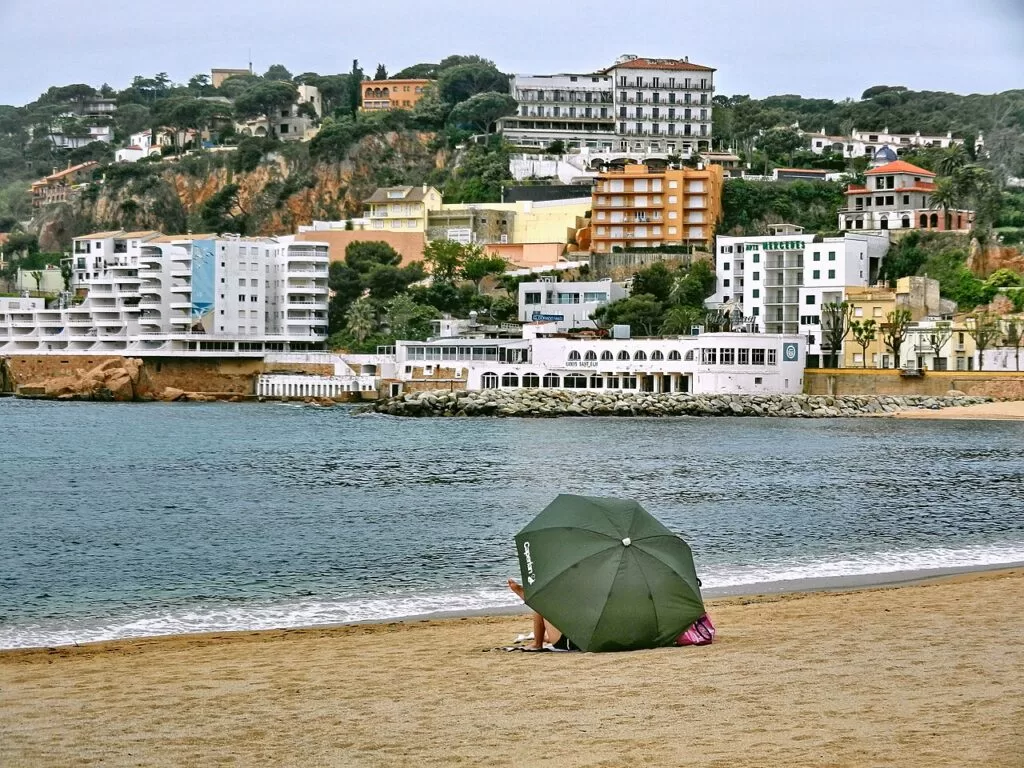
A crescent of pinkish sand nearly one kilometre long between two pine-covered points, with a gentle slope into the sea, good access for disabled people and the Torre de les Punxes on the promenade. About ten small coves at its west end suit snorkelling (catalunya.com).
The S’Agaró coastal path →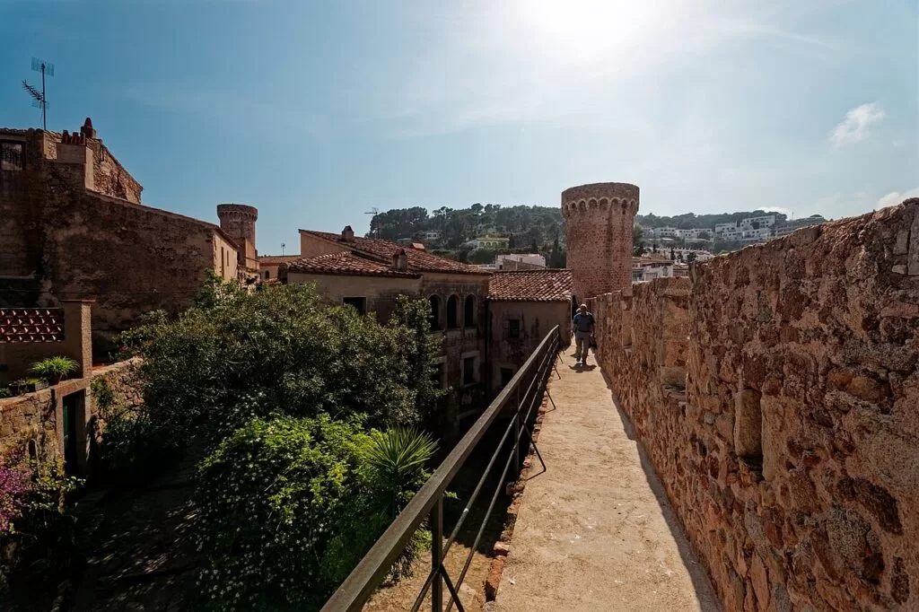
Platja Gran
350 m of coarse pink sand below the walls of the Vila Vella, with every service including glass-bottom boats, a diving centre, access ramps and amphibious chairs (catalunya.com).
See the Tossa guide →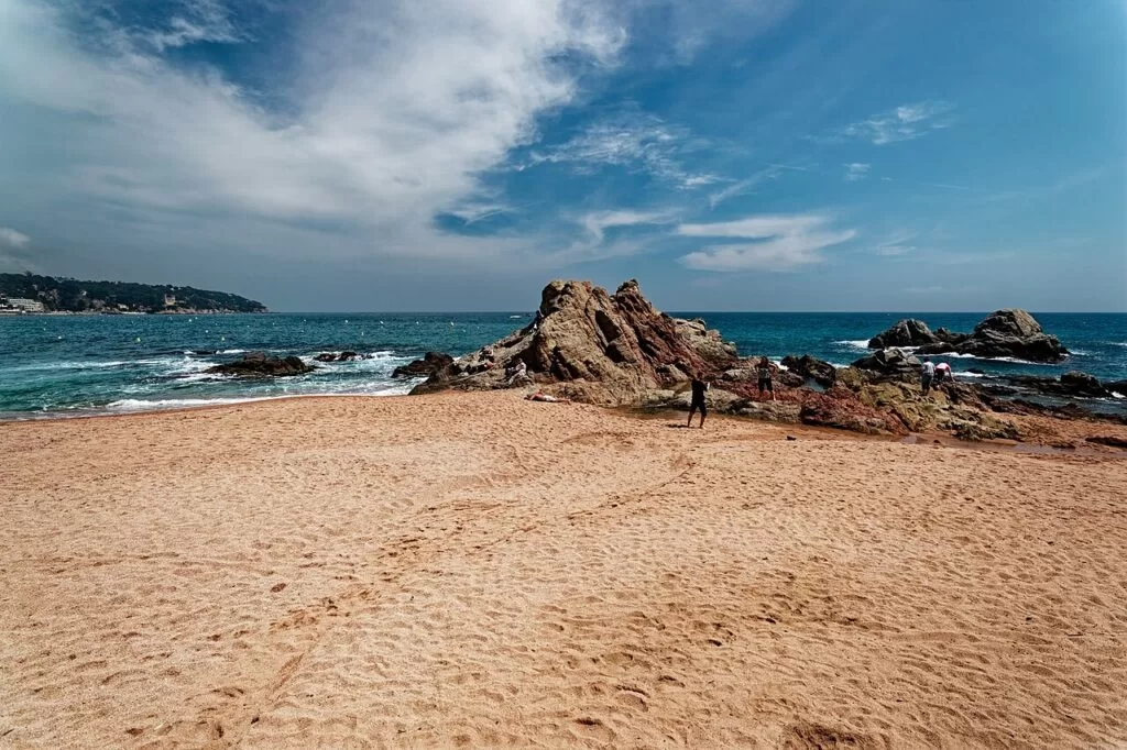
Lloret and Fenals
Lloret’s town beach is 1.1 km of coarse sand with lifeguards, ramps and boat trips; a coastal path leads to Fenals, 725 m long, a family beach with a promenade and adapted toilets (catalunya.com).
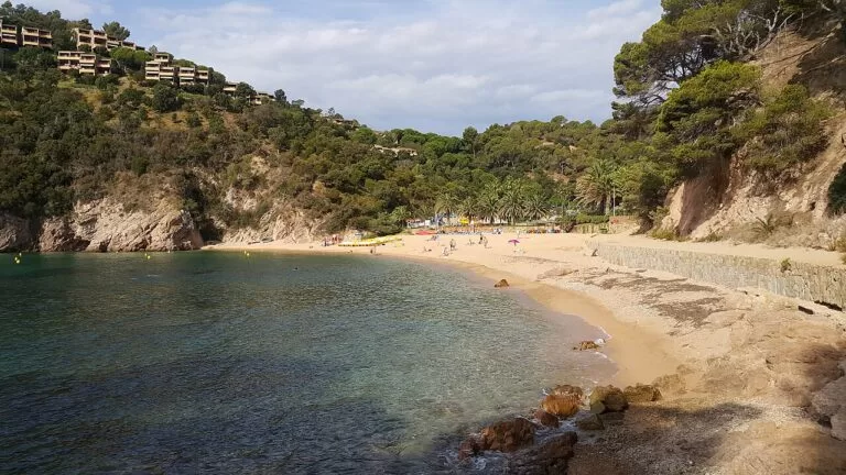
See the Lloret guide →- Cala Giverola and Cala Pola (Tossa) – coves north of Tossa; catalunya.com places Giverola, with its services, about five kilometres north of the town, and our Cala Pola guide covers the sandy cove about 2 km north-east.
- Canyelles (Lloret) – 450 m of coarse sand 3 km north of Lloret by the GI-682, beside a small marina, with lifeguards and a car park (catalunya.com).
- Sa Boadella (Lloret) – a 230 m cove below the Santa Clotilde Gardens, reached on a marked path through pines, with a beach bar; nudism is usual on its right-hand side (catalunya.com).
- Santa Cristina (Lloret) – 320 m of fine sand about 3.5 km from both Lloret and Blanes on the GI-682, with the hermitage of Santa Cristina on the hill behind (catalunya.com).
- Cala de Sant Francesc (Blanes) – a 170 m Blue Flag cove of coarse sand in a wooded residential area just over a kilometre from Blanes, with a small car park (catalunya.com).
- S’Abanell (Blanes) – 2.5 km of coarse sand from the Tordera to Sa Palomera, with a Blue Flag and a promenade; quieter at the river end (catalunya.com).
Things to do
Nature: coastal paths, cliffs and gardens
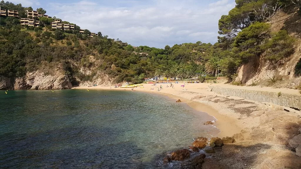
The GR 92 follows the whole stretch. Stage 10, from Sant Feliu to Tossa, is 20.23 km and about 5 hours with 816 m of climbing, through the Ardenya or Cadiretes massif (catalunya.com); stage 11 continues to Lloret (our Tossa to Lloret walk). Shorter camins de ronda run round S’Agaró and from Lloret beach to Fenals. At Cala del Molí in Sant Feliu, a via ferrata above the sea has two sections of low to medium difficulty, recommended from age 12, taking about two and a half hours (catalunya.com). For gardens, Marimurtra in Blanes covers about 16 hectares with some 3,000 species in the open air (catalunya.com), and Santa Clotilde in Lloret is a terraced formal garden begun in 1919 (Spain.info).
History: a monastery, walls and indiano houses
Walk the walls of Tossa’s Vila Vella and visit the Municipal Museum, one of the oldest contemporary art museums in Spain according to catalunya.com (catalunya.com). In Sant Feliu, the City History Museum is spread over three buildings: the monastery, the old maritime rescue station on the Guíxols headland and the Albertí house (catalunya.com). Lloret’s Modernista cemetery and Museu del Mar tell the story of the indianos, who made fortunes in the Americas after the free-trade decree of 1778.
Food and festivals
Tossa’s dish is cimitomba, fish and vegetables in a simple sauce of seafaring origin. Blanes is known for fresh fish dishes such as prawns, sonso and monkfish stews (catalunya.com). Festivals to plan around: the Pelegrí of Tossa on 22 January, the Porta Ferrada festival in Sant Feliu in July and August, Lloret’s Santa Cristina festival on 24 and 25 July with a sea procession, and the Blanes festa major from 21 to 28 July with its international fireworks competition.
Where to stay by town
The towns we would base a trip in, north to south.
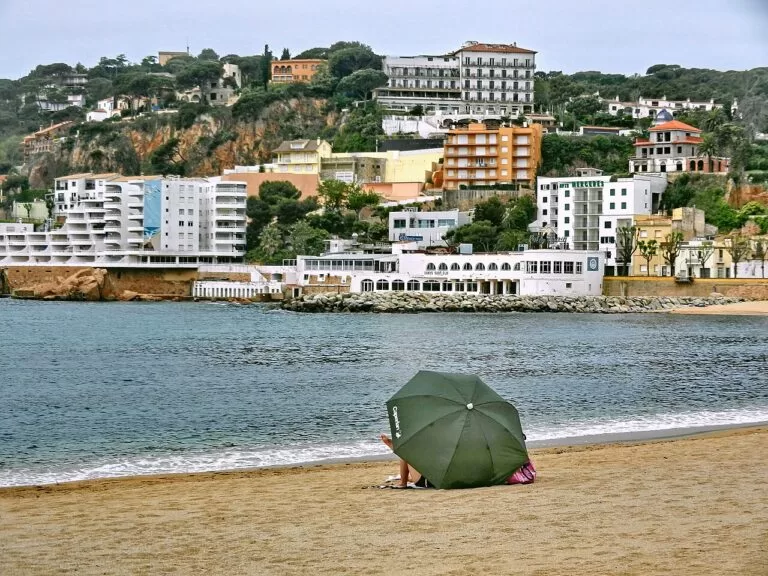
Sant Feliu de Guíxols
A real town with a port, museums and a walkable centre, between S’Agaró and the wild coast towards Tossa, and the end of the Carrilet greenway.
Town and culture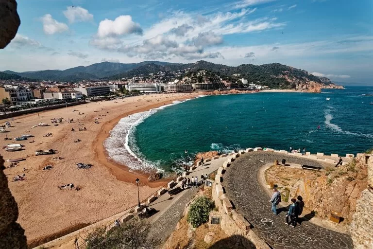
Tossa de Mar
The best-preserved old town of the stretch, small enough to explore on foot, with coves north and south. Its population grows sharply in summer: book early.
Old town and coves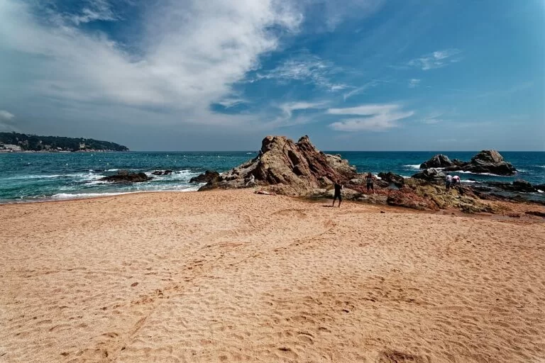
Lloret de Mar and Blanes
The biggest resorts and the best transport: buses to Girona and Barcelona from Lloret, the R1 train at Blanes.
Resort and transportCampsites with a CostaMap page: Camping Lloret Blau in Lloret de Mar, open all year; Camping Alannia El Pinar in Blanes; and Camping Ridaura inland in Llagostera.
Getting there and around
By air
Girona-Costa Brava Airport is about 24 km from Lloret, 25 km from Tossa and 26 km from Blanes and Sant Feliu in a straight line. Buses run from the airport to Girona, Barcelona and tourist towns of the Costa Brava including Tossa de Mar (Spain.info). Barcelona airport is about 72 km from Blanes.
By train and bus
Blanes is the only town of the stretch on the railway: the Rodalies R1 runs to Barcelona (catalunya.com). Lloret has a bus station on Avinguda Vila de Blanes and buses to Girona, Blanes and Barcelona; Tossa has buses to Lloret, Girona and Barcelona; Sant Feliu has buses to Girona (catalunya.com).
By car and boat
The GI-682 coast road links Blanes, Lloret, Tossa and Sant Feliu. In summer Tossa and Sant Feliu rely on perimeter car parks (catalunya.com). From May to October, tourist boats link Blanes with Lloret and Tossa, stopping at beaches on the way (catalunya.com).
A two-day route
North to south, about 25 km in a straight line; a car helps on day 1.
Day 1
S’Agaró, Sant Feliu and the road to Tossa
Start with the coastal path round S’Agaró from Sant Pol beach. Drive into Sant Feliu for the monastery, the Porta Ferrada and the City History Museum, then climb to the Sant Elm chapel for the view along the coast. In the afternoon take the GI-682 south, stop for a swim at Cala Pola or Cala Giverola, and end the day in Tossa with a walk up the walls of the Vila Vella at sunset.
Day 2
Tossa, Lloret and Blanes
See the Municipal Museum in Tossa in the morning, then take the boat or the bus to Lloret. Walk from Lloret beach to Fenals and visit the Santa Clotilde Gardens above Sa Boadella. Continue to Blanes for the Marimurtra Botanical Garden and finish at Sa Palomera rock, where the Costa Brava begins.
FAQ
Where does the Costa Brava start?
At Sa Palomera, the rock in Blanes that separates the town beach from S’Abanell. catalunya.com describes it as marking the beginning of the Costa Brava; S’Abanell, to the south, is counted as the last beach of the Maresme.
Is Tossa de Mar or Lloret de Mar better?
Tossa is smaller, with a walled medieval town and coves close by; Lloret is a large resort with six beaches, more hotels, nightlife and better bus links. They are 8 km apart in a straight line, so many visitors stay in one and visit the other.
Can you walk from Tossa de Mar to Lloret de Mar?
Yes, on stage 11 of the GR 92. Our Tossa to Lloret walk guide gives it as 14.37 km and about 3 h 35 min, with 669 m of climbing.
How do you get from Barcelona to Lloret de Mar or Tossa?
By bus: Lloret has buses to Barcelona and Tossa has interurban buses to Barcelona and Girona. By train, the Rodalies R1 reaches Blanes, about 4.5 km from Lloret in a straight line, with local buses on from there.
What are the best beaches on the southern Costa Brava?
Platja Gran in Tossa, Sant Pol in Sant Feliu, Fenals and Santa Cristina in Lloret, and coves such as Cala Pola, Giverola and Sa Boadella.
Other areas of the Costa Brava
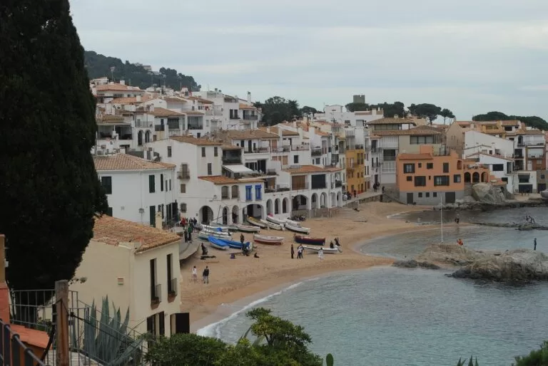
Costa Brava
The whole coast of Girona province from Portbou to Blanes, with the map and all four areas.
Costa Brava guide →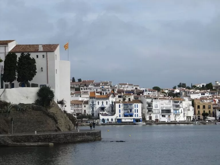
Cap de Creus and the Bay of Roses
Cadaqués, Dalí’s Portlligat, the Cap de Creus and the Bay of Roses.
Cap de Creus guide →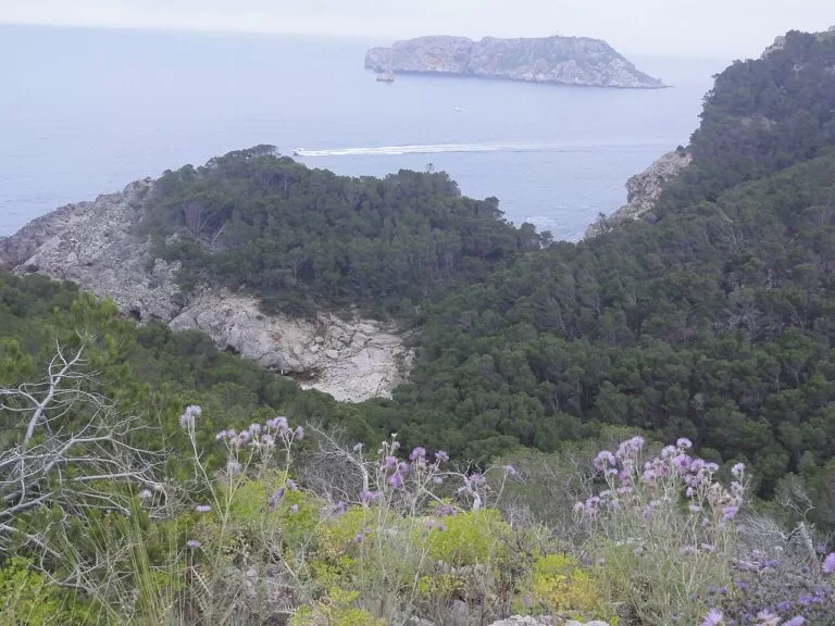
L’Escala, Empúries and the Montgrí
The Greek and Roman ruins of Empúries, L’Escala and the Medes Islands off L’Estartit.
Montgrí guide →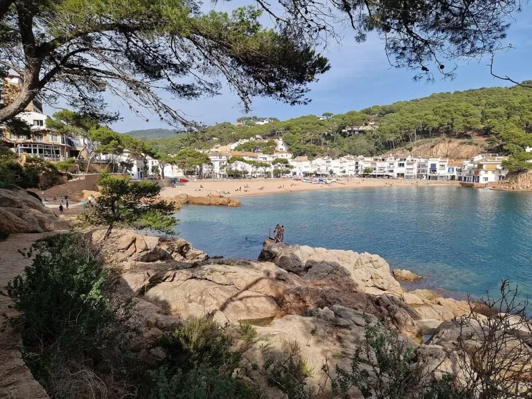
Begur, Palafrugell and Palamós
The coves of Begur, the fishing villages of Palafrugell and the port of Palamós, just north of S’Agaró.
Begur and Palafrugell guide →South of the Tordera the coast continues as the Costa del Maresme towards Barcelona.
Sources and freshness
Checked 7 November 2026. catalunya.com (Catalan Tourist Board) on Sant Feliu de Guíxols, Castell-Platja d’Aro, S’Agaró, Tossa de Mar, the Vila Vella, Tossa Municipal Museum, Lloret de Mar, Lloret cemetery, Blanes, Marimurtra, Sant Feliu City History Museum, the GR 92 stage 10, the Carrilet II greenway, the Cala del Molí via ferrata, the Blanes boat line and the beach pages linked above. Spain.info on Blanes, Santa Clotilde, Lloret bus station and Girona-Costa Brava Airport. Town websites could not be opened from our research setup. Distances: OpenStreetMap. Photos from Wikimedia Commons: Platja Gran and the Vila Vella, Tossa de Mar, and Platja de Lloret de Mar by Txllxt TxllxT (CC BY-SA 4.0); Sant Feliu de Guíxols by Tanya Dedyukhina (CC BY 3.0); Cala Giverola by Friviere (CC BY-SA 3.0); Calella de Palafrugell by juan.motje (CC BY 3.0); Cadaqués by Otger Cataló (CC BY 3.0); Montgrí and Illes Medes by Isidro Jabato (CC BY-SA 4.0); Tamariu by Chris j wood (CC BY-SA 4.0); map panel image as on the Costa Brava guide.