
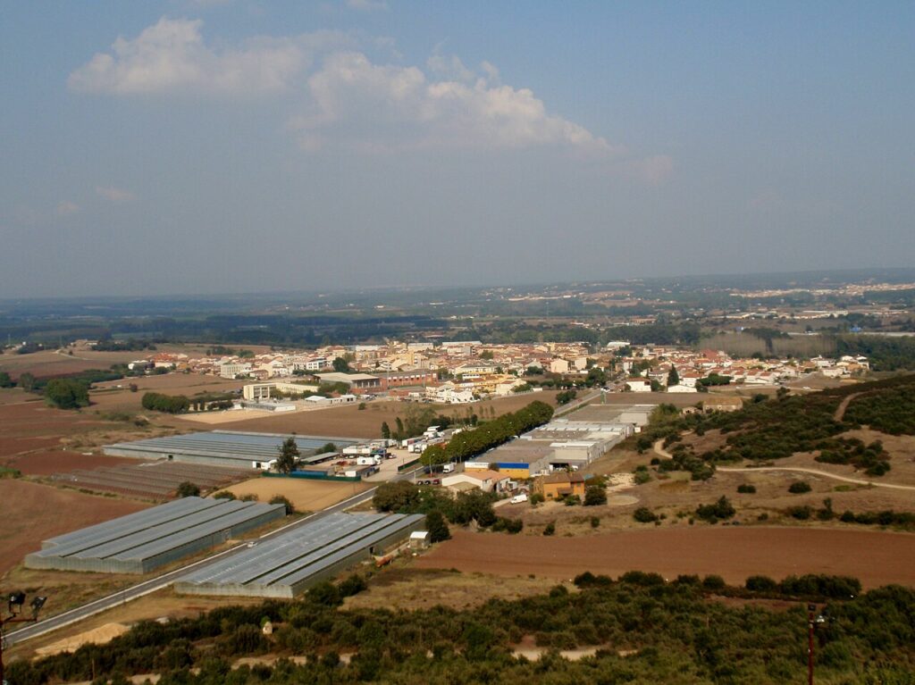
Maçanet de la Selva: Inland Town, Iberian Site and Rail Link
Maçanet de la Selva is an inland town of 8,071 residents in the La Selva comarca of Girona province. The nearest beaches, at Lloret de Mar and Blanes, are 12 to 18 km away. Choose it as a quiet base for walks, Iberian history and village churches. Choose the coast if you want to swim every day. The town is part of our Costa Brava guide, and the rest of this page covers what to see, how to get there and what to check before you go.
Quick facts
- Where: Maçanet de la Selva, La Selva comarca, Girona province, Catalonia. It sits in the southern part of the comarca, next to the Maresme.
- Residents: 8,071 (INE, 2024 data, table 2870).
- Size and height: 45.21 km², about 100 m above sea level (municipal council).
- Beach: none. The town is inland. The nearest beaches are at Lloret de Mar and Blanes, 12 to 18 km away (Beachatlas, a travel guide, not a council source).
- Airport: Girona–Costa Brava (GRO), the airport Aena lists for the Girona area. We did not confirm the road distance from Maçanet to the airport or to Girona.
- Language: Catalan is the local language. The council website is also available in Spanish, English and French.
- Rail: Maçanet–Massanes station on the R11 line from Barcelona to Portbou, and on the RG1 line to Blanes.
- Climate: mean annual temperature of 14°C, mild and humid, with frequent fog (municipal council).
Maçanet de la Selva on the map
Beaches, sights and nearby towns with a CostaMap page. Click a pin to open it, or switch to places to stay.
Where to base yourself
The choice here is between staying in the village and staying on the coast. Both work, but they suit different trips. The village suits walkers, cyclists and anyone who wants quiet evenings. The coast suits a beach holiday, and it is a drive or a train ride away.
The village centre
The historic core is built around the Plaça de l’Església, with the church of Sant Llorenç and several old houses in the Gothic style. If you want to walk to the sights without a car, this is the area to choose. The village is not a seaside town, so the evenings are different from those in the coastal resorts.
The wider municipality
The municipality is divided into eight neighbourhoods, including Comajuliana, l’Estany, Marata, Miquel Ferrer, Pibitller, Puig Marí and Pujol i Soliva. Puig Marí is also the hill the council recommends for the sunset. A base outside the village centre suits people with a car who want to walk from the door.
The coast
If the beach is the main reason for the trip, stay at Blanes or Lloret de Mar. Both are 12 to 18 km from Maçanet by the figures we found. Blanes beach is 650 m long, according to Costa Brava tourism. From Maçanet you can reach Blanes by the RG1 train, which calls at both Maçanet–Massanes and Blanes.
Things to do
The Montbarbat Iberian site
The municipal tourism page says the village keeps the remains of the Iberian settlement of Montbarbat, dated to the 4th to 2nd centuries BC. The council says the remains help explain how the people of that period lived. Check the opening times with the council before you go, because we did not confirm them.
The church square and old houses
The Plaça de l’Església is the main public space of the village. The church of Sant Llorenç is on the square, and the council points to several historic houses in the Gothic style around it. Costa Brava tourism describes the municipality as packed with reasons to visit, such as Romanesque churches and ancient forts. The sources do not name a single castle for the village, so this guide does not describe one.
The Martorell church
The council also names the church at Martorell, a parish within the municipality. It is worth a stop if you are already walking the area, but we did not verify its opening hours or whether it is open to visitors outside services.
Walks to Puig Marí
The council says the mountain setting and mild climate make the municipality good for walking and cycling. The Camí de les monges (the nuns’ path) leads on foot or by bike to Puig Marí, where the council recommends watching the sunset. It also suggests a route through the hills of Maçanet. Bring water and check the weather, because the council describes fog as frequent in this area.
Beaches and places nearby
Maçanet has no beach, so the places below are the real choices for sea time. Costa Brava tourism gives the length of Blanes beach as 650 m. Lloret de Mar is a coastal resort, and the municipality of Maçanet touches its boundary to the south, so the sea is close in the administrative sense even if it is 12 to 18 km away by road.
For another inland stop in La Selva, read our Hostalric guide. For the seaside towns, read our Blanes guide and our Lloret de Mar guide. Each has its own beach and transport details, so check them before you plan a day on the coast.
On CostaMap near Maçanet de la Selva: Water World Lloret (11 km).
Food and drink
We did not verify local dishes, market days or restaurant names for this guide, so none are given here. The council’s tourism page has a section on where to eat, and it is the best place to check current listings. For a wider choice of restaurants, the coastal resorts of Lloret de Mar and Blanes have more options than the village.
Where to stay
The council’s tourism page has a section on where to sleep. We did not read the listings in detail, so no hotel names or prices appear here. The council’s tourism section also lists a motorhome parking area. For beach-style accommodation, the nearest options are in Blanes and Lloret de Mar.
Getting there and around
By car. The municipal council says the village is served by the A-7 motorway, the N-II road and the C-251. The coast is a drive away, not a walk. Journey times from Maçanet to the coast were not confirmed in the figures we checked.
By train. Maçanet–Massanes station is on the R11 line, which runs from Barcelona via Girona and Figueres to Portbou. At the station, the R11 connects with the R1 and R2 Nord lines. Rodalies states the line is 170 km long to Portbou. The RG1 also stops at Maçanet–Massanes and Blanes, so it reaches the Blanes beach without a car. Check timetables with Rodalies before you travel, because we did not confirm frequencies.
By air. Girona–Costa Brava (GRO) is the airport Aena lists for the area. Costa Brava tourism gives the trip between Barcelona-El Prat and the airport as 90 minutes by train or 60 minutes by car. We did not check the trip from the airport to Maçanet.
Best time to visit
The council gives a mean annual temperature of 14°C, with a mild and humid climate. It says winters are colder here than in the neighbouring coastal villages, and that fog is common. The council does not give a season for walks, so the choice of spring or autumn for walking is our own judgement, not a sourced recommendation. The sunset from Puig Marí is a reason to plan the walk for late afternoon. Check the opening times of any site before you go, because they change by season.
FAQ
Is Maçanet de la Selva on the beach?
No. The town is inland. The nearest beaches are at Lloret de Mar and Blanes, 12 to 18 km away by the figures we checked.
How many people live in Maçanet de la Selva?
The INE figure is 8,071 (INE, 2024 data, table 2870).
Can I reach the coast by train?
Yes. The RG1 stops at Maçanet–Massanes and at Blanes. We did not confirm the journey time, so check the Rodalies timetable before you travel.
What is the Iberian site at Montbarbat?
The council says it is the remains of an Iberian settlement dated to the 4th to 2nd centuries BC. The site is in the municipality, and the council’s tourism page is the best place to check how to visit it.
Is it worth a day trip?
Yes, if you want a half day of walking, church squares and early history. If the main goal is the beach, do not plan Maçanet as a stop on the way, because the coast is 12 to 18 km away and the trip takes time.
Sources and freshness
10 sources Show
Last checked: November 2026. Sources: INE, population table 2870 (8,071 residents, 2024 data); Maçanet de la Selva municipal council, geography (area, height, climate and neighbourhoods); Maçanet de la Selva municipal council, tourism (Montbarbat, the church square, walking routes, food and accommodation); Costa Brava and Girona Pyrenees tourism, Maçanet de la Selva (description of the municipality); Beachatlas, Maçanet de la Selva (the 12 to 18 km distance to the nearest beaches; a travel guide, not an official source); Rodalies, R11 line (Maçanet–Massanes station and the line to Portbou); Rodalies, RG1 line (the stops at Maçanet–Massanes and Blanes); Costa Brava tourism, Blanes beach (the 650 m length); Costa Brava tourism, how to get there (travel time from Barcelona to Girona–Costa Brava airport); Aena, Girona–Costa Brava airport (the airport code and its position as the nearest airport). Where a figure is weaker than a council or official source, the page says so.
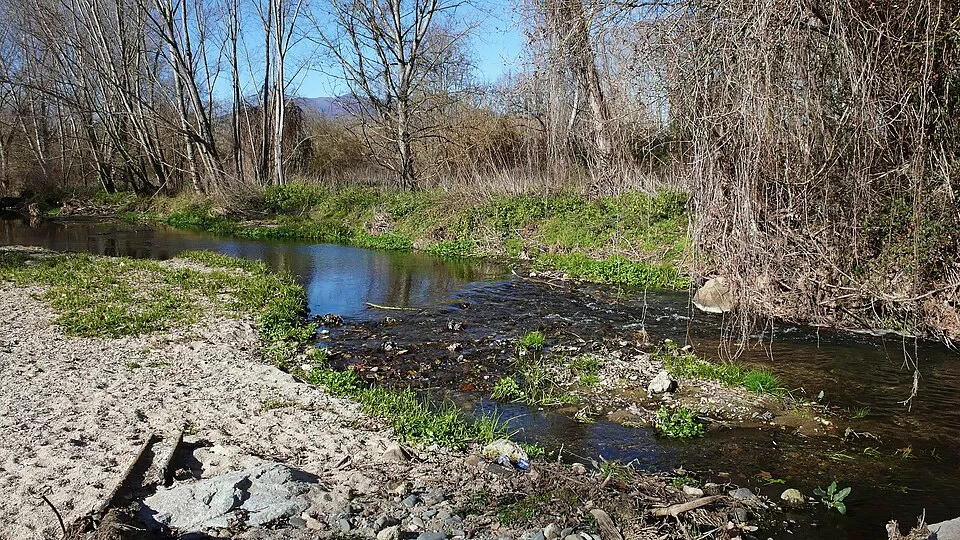
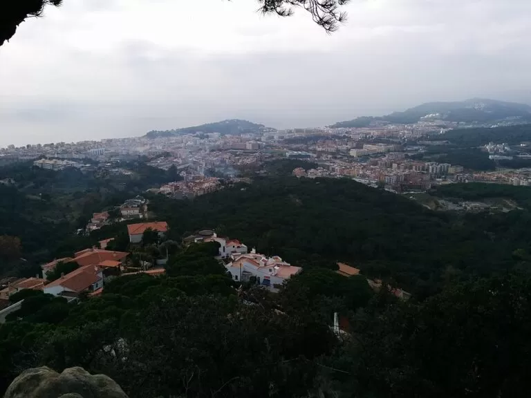
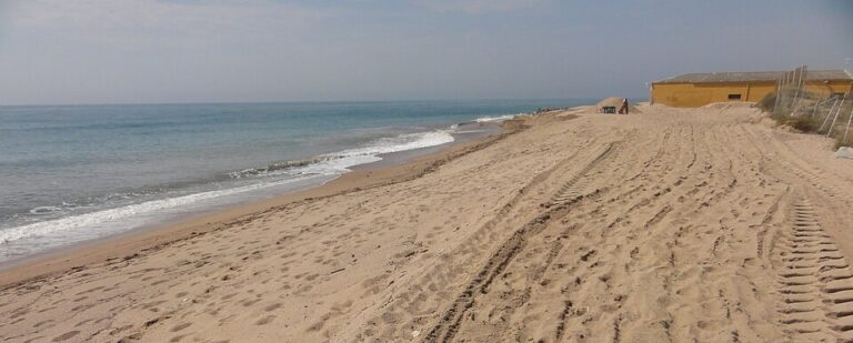
Main photo: Carlos Pino Andújar, CC BY-SA 3.0, via Wikimedia Commons.
Nearby on the Costa Brava
The nearest town guides on this coast, by straight-line distance from Maçanet de la Selva.
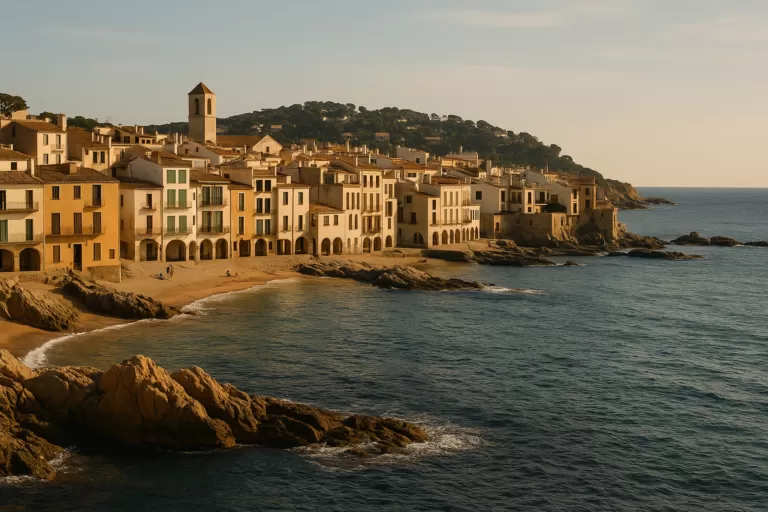
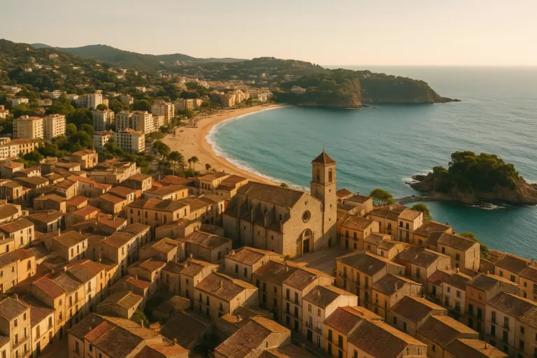
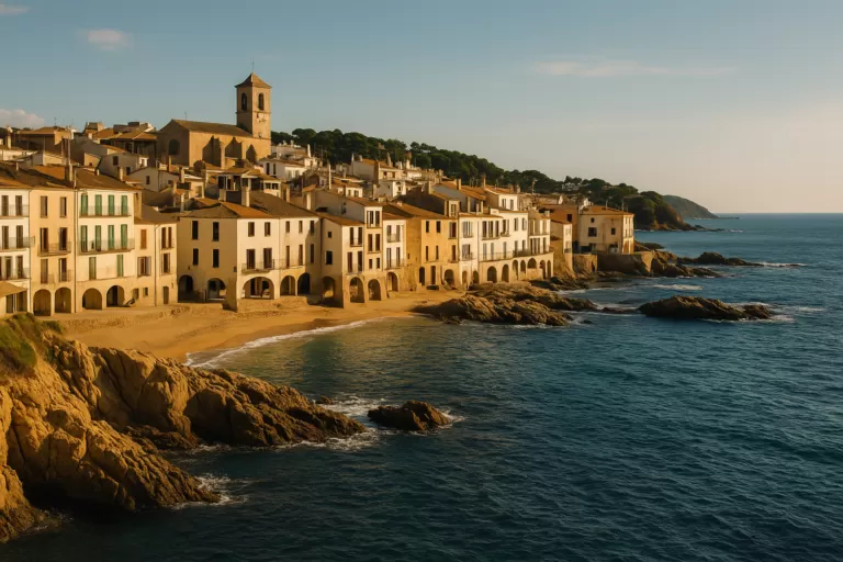


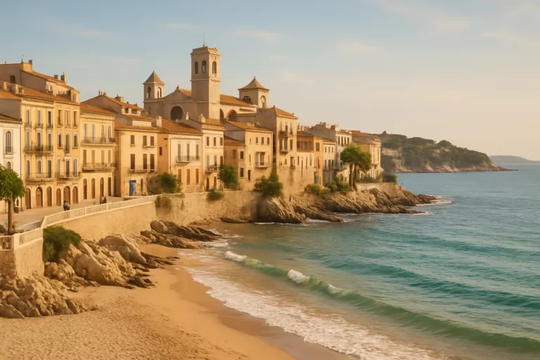
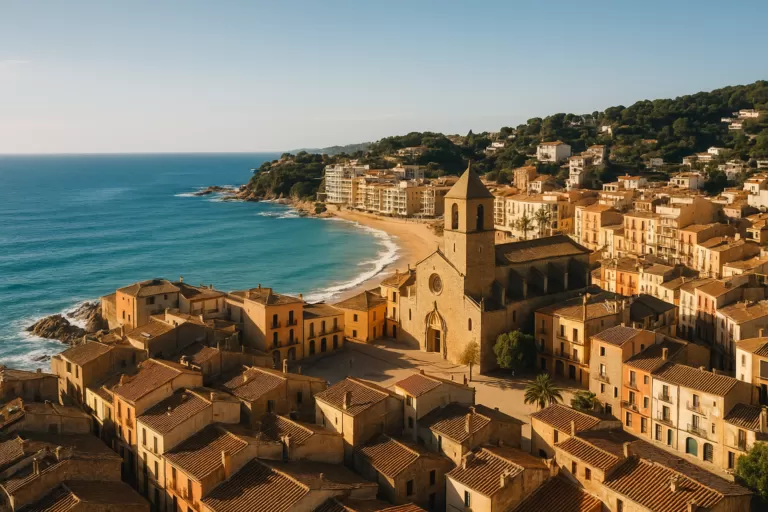
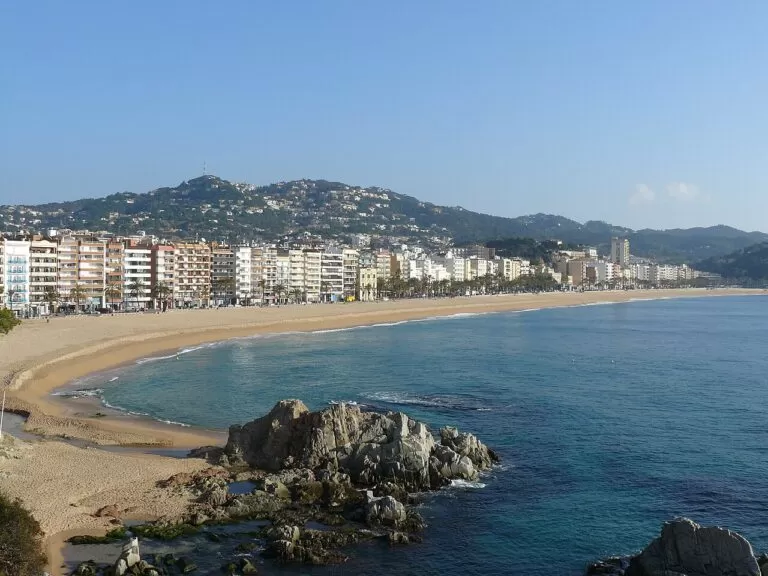
Places worth knowing near Maçanet de la Selva

This place is part of our Costa Brava travel guide: Cadaqués, the Palafrugell coves and Tossa de Mar — see every town, beach and cove we have mapped on that coast.
How this page is made. CostaMap is written with an AI editorial system run by Ebizapple. This page is based on the sources listed above. Last updated 21 November 2026. Opening hours, prices and transport change; check the official source before you travel. How we work · Partner links and ads