
Costa Brava · Baix Empordà
Begur, Palafrugell and Palamós travel guide: coves, camí de ronda and fishing ports
The central Costa Brava, from the long beach of Pals past the coves of Begur and Palafrugell to the fishing port of Palamós and the resort of Platja d’Aro.
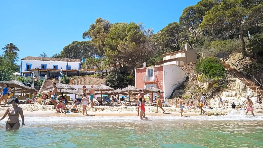
Aiguablava, Begur · Photo: Arturo Francisco Barbero, CC BY-SA 4.0
Part of the Costa Brava guide · Other areas: Cap de Creus and the Bay of Roses · L’Escala, Empúries and the Montgrí · Sant Feliu, Tossa, Lloret and Blanes
Begur, Palafrugell and Palamós are the heart of the Costa Brava: the coast of the Baix Empordà in Girona province, from the beach of Pals in the north to Platja d’Aro in the south. Here the Begur massif and the foothills of the Gavarres meet the sea in cliffs, pine woods and small coves, linked by the camí de ronda coastal path, with the old fishing villages of Calella, Llafranc and Tamariu and the working port of Palamós along the way (Catalunya.com). Inland lie the medieval villages of Pals and Peratallada and the Iberian town of Ullastret.
At a glance
- Where the central Costa Brava in the Baix Empordà, from Platja de Pals and the Begur headland south to Palamós, Sant Antoni de Calonge and Platja d’Aro.
- Towns Pals, Begur, Palafrugell with Tamariu, Llafranc and Calella, Palamós, Calonge and Sant Antoni, Platja d’Aro; Peratallada and Ullastret inland.
- Best for swimming in small coves, the camí de ronda, diving at the Formigues and Ses Negres, seafood and medieval villages.
- Getting there Girona–Costa Brava airport is 58 km from Begur and Barcelona airport 145 km; the nearest station is Flaçà, with buses on to Palafrugell (Visit Begur).
- On CostaMap 23 places, from Begur’s coves and the Palafrugell villages to Palamós port, the Formigues, two coastal walks and four campsites.
Map of Begur, Palafrugell and Palamós
The places in this area with a CostaMap page. Tick a place type to filter, and click a marker to see the place in the panel.
Place type
Area · next level
 Area map
Begur, Palafrugell and Palamós
Click a marker to see the place here. Pals, the Begur coves, Calella, Llafranc and Tamariu, Palamós and Platja d’Aro, with Peratallada and Ullastret inland.
Towns and villagesTowns and villages
From north to south along the coast, then the villages inland.
Pals and Platja de Pals
The municipality of Pals runs from a hilltop village down to a long, straight beach below the mouth of the Ter and opposite the Medes Islands; behind it lie rice fields, the remains of old marshes, and dunes now covered by pine groves (Catalunya.com). The old quarter, the Pedró, was badly damaged in the Civil War and restored over thirty years from 1948; four square towers of the 12th-century walls still stand, with the round Torre de les Hores at the top. See our guide to Pals Old Town. On the coast, Platja de Pals is about 3.5 km of open sand, good for windsurfing when the east wind blows, with the Platja de Pals golf course, the oldest on the Costa Brava, built in 1966 near the beach. Three campsites on CostaMap lie between the beach and Begur: Alannia Neptuno, Interpals Eco Resort and Talaia Plaza Ecoresort.
Begur
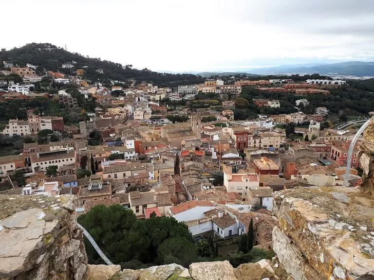
Begur stands 200 m above the sea on the massif of the same name. The village spreads around a medieval castle, documented from the 11th century, with four 16th–17th-century defence towers, a late Gothic church of Sant Pere and the houses built by the indianos, locals who emigrated to Cuba in the 19th century and came back rich (Catalunya.com). Its 16 km of coast holds eight coves and small beaches, from south to north Aiguablava, Fornells, Fonda, Sa Tuna, Aiguafreda, Sa Riera, Illa Roja and Racó. About 4,200 people live here, but in summer the population can reach 40,000. The Fira dels Indians fills the village on the first weekend of September. Our Begur town guide has more on the village.
Palafrugell
The town of Palafrugell lies a few kilometres inland and is the centre of a municipality whose 12 km of coast takes in Calella, Llafranc, Tamariu and Aigua Xelida. It was a farming town that grew rich on cork, exporting stoppers worldwide, and it is the birthplace of the writer Josep Pla, whose foundation is here (Catalunya.com). The Cork Museum tells the story, and the Late Gothic church of Sant Martí heads the old quarter. There is a Sunday market and a daily food market, and a bus station with connections to Girona, Barcelona and the coastal villages.
Tamariu
Tamariu is the smallest of the three Palafrugell seaside villages: a former fishing hamlet around one sandy bay, about 180 m long according to Spain.info, with restaurants and shops along the seafront. The coastal path towards Llafranc starts here; the first stretch is the easiest (Catalunya.com).
Llafranc
Llafranc sits in a bay below the Cap de Sant Sebastià, which rises to 165 m. Its beach, about 330 m long, has a promenade, restaurants and a small marina, with boats scattered across the bay (Spain.info). On the cape are the oldest watchtower in the municipality, begun in 1441, an 18th-century sanctuary and hostel, the lighthouse, and an Iberian settlement of the 6th century BC whose finds are shown at the Cork Museum.
Calella de Palafrugell
Calella de Palafrugell is the best known of the three villages, with the arcades of its old fishing quarter, Port Bo, protected as a Historic Ensemble. On the first Saturday of July the havaneres, sea songs from the time of emigration to Cuba, are sung on the seafront (Catalunya.com). South of the village, the Cap Roig Botanical Gardens were created in 1927 by the Woevodsky couple around a castle of local red stone, and host the summer Cap Roig Festival (Spain.info). From the viewpoints you can see the Illes Formigues. The camí de ronda from Calella to Tamariu links the three villages.
Palamós
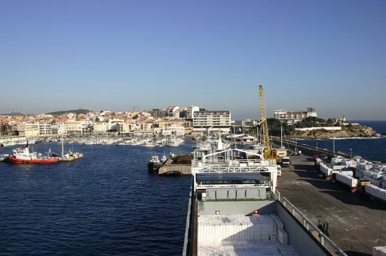
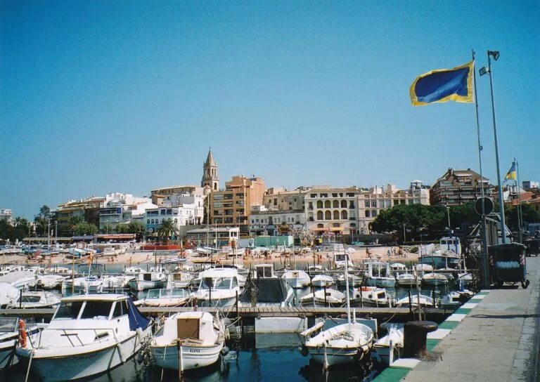
Palamós grew up on its own bay of fine sand from the 12th century (Spain.info); in 1277 King Peter the Great bought the castle of Sant Esteve and made it a royal port (Catalunya.com). It is still one of the most important fishing ports in Catalonia, known for its prawns, and you can watch the boats come in and the fish auction at the Llotja. The Port de Palamós also has marinas, the Fishing Museum and boat trips. North of the town are Platja del Castell, with the remains of an Iberian settlement, La Fosca, and wild coves such as Cala Estreta. HolaCamp Palamós is the campsite on CostaMap here.
Calonge and Sant Antoni
The municipality of Calonge i Sant Antoni has two parts: Calonge inland, with its medieval castle of the 12th–13th centuries and the church of Sant Martí, and Sant Antoni by the sea (Spain.info). Dolmens and menhirs show prehistoric settlement, and Spain.info counts the Roman site of Castell dels Barri among the largest archaeological sites of the Roman period.
Platja d’Aro and S’Agaró
Platja d’Aro is the busiest resort on this stretch, built along a beach of almost 2.5 km between the Ridaura and the Cavall Bernat rock, with a promenade of bars, restaurants and hotels and the Port d’Aro marina at the south end (Catalunya.com). Inland, Castell d’Aro is a historic village of stone houses and arches. Past the marina lie Sa Conca beach and the garden suburb of S’Agaró, circled by the coastal path in our guide to the camí de ronda from S’Agaró to Platja d’Aro.
Peratallada and the inland villages
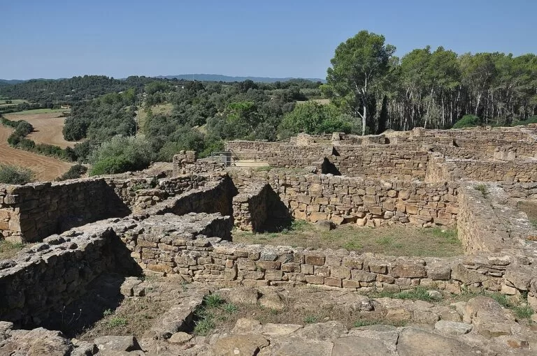
Behind the coast is the Empordanet of small villages and Romanesque churches. Peratallada, in the municipality of Forallac, is a walled medieval village with a castle and a moat cut into the rock, a short drive inland from Pals. Further north, the Iberian Town of Ullastret, part of the Museu d’Arqueologia de Catalunya, is the largest Iberian settlement in Catalonia (Catalunya.com). La Bisbal d’Empordà has the Museu de la Ceràmica.
Beaches and coves
Lengths and facilities are as the official tourism sites give them, checked in November 2026; where they disagree, we say so on the beach page.
Aiguablava
About 80 m of fine sand in a sheltered bay with turquoise water and a gentle slope into the sea, on the GR 92; no dogs (Visit Begur).
See Aiguablava →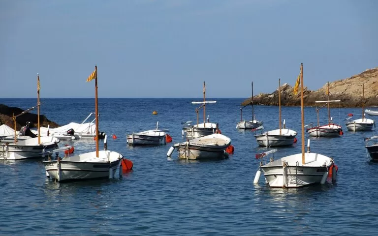
Sa Tuna
A small stony cove, 80 m long, in front of old fishermen’s houses, with a path called s’Eixugador to a quieter cove beside it (Visit Begur).
See Sa Tuna →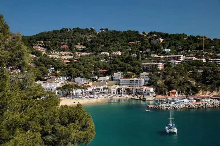
Llafranc
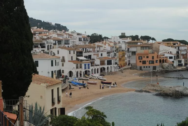
An urban beach of golden sand, 328 m long, with a promenade, a small marina and a diving area (Spain.info).
See Llafranc →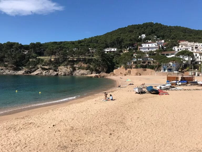
Tamariu
A 180 m bay of golden sand in front of the village, with restaurants on the seafront (Spain.info).
See Tamariu →Also on this stretch, from north to south:
- Platja de Pals: about 3.5 km of open sand with full summer services and a Red Cross post; strong waves with an east wind (Spain.info).
- Illa Roja (Begur): a 180 m naturist cove below a reddish islet, reached only on foot (Visit Begur).
- Sa Riera (Begur): Begur’s largest beach, about 200–240 m of coarse golden sand with fishermen’s houses and an amphibious chair (Visit Begur).
- Platja del Castell (Palamós): almost undeveloped, 339 m of golden sand with a gentle slope, reached by the coastal path from La Fosca or by a track off the C-255; the Iberian settlement stands on the hill above (Catalunya.com).
- Platja Gran de Palamós: a 575 m family beach of fine sand by the town, with a promenade joining Sant Antoni de Calonge (Catalunya.com).
- Sa Conca (Castell-Platja d’Aro): 125 m of coarse sand among pines opposite S’Agaró, with a steep entry into the sea (Catalunya.com).
Things to do
Walk the camí de ronda
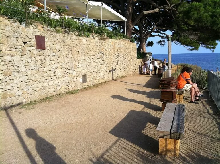
The camí de ronda, named after its old use as a lookout path against pirates, follows the shore almost the whole way: from Tamariu through Llafranc to Calella, and from Calella on through Palamós, Sant Antoni de Calonge and Platja d’Aro to S’Agaró (Catalunya.com). The Calella to Tamariu section climbs past the Sant Sebastià lighthouse; the S’Agaró loop is an easy, built path. In Begur, paths link Sa Riera, Illa Roja and Platja de Pals, and run south to Aiguafreda and Sa Tuna above the Ses Negres marine reserve.
Sea, diving and the fishing port
The Begur coast has cliffs and caves at sea level for kayaking and diving, especially around the Ses Negres marine reserve (Catalunya.com). Off Calella and Palamós, the Illes Formigues are recommended for scuba diving (Spain.info), and Palamós’s marinas sell boat trips. In Palamós, watch the fishing fleet come in, visit the fish market and the Fishing Museum (Spain.info).
History: castles, cork and Iberians
Climb to the castle ruins in Begur for the view, walk the medieval lanes of Pals and Peratallada, and see the Iberian walls at Ullastret. The Cork Museum in Palafrugell tells the story of the industry that shaped the town; the Josep Pla Foundation follows the writer, and the Pals viewpoint named after him looks over the Empordà plain to the Medes Islands (Catalunya.com).
Food: prawns and sea-and-mountain dishes
The Palamós prawn is the star, with its own food days every year (Catalunya.com). Baix Empordà cooking mixes land and sea: broad beans and peas, esqueixada (salt-cod salad), escalivada (roast vegetables) and chicken or rabbit with seafood, with wines of the Empordà denomination of origin (Spain.info). In October, Pals celebrates its rice harvest.
Where to stay by town
We do not recommend individual hotels. These are the bases that make the most sense, with what each suits.
Begur
A hilltop village with restaurants and the coves below, linked in summer by the beach bus to Sa Riera, Sa Tuna and Aiguablava. Popular and busy in July and August.
Coves and village lifeCalella, Llafranc or Tamariu
Small seaside villages with a beach on the doorstep and the coastal path between them. Tamariu is the quietest; Calella has the most life.
Beach and walking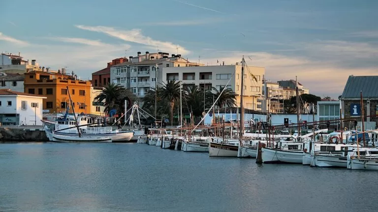
Palamós
A real town with a working port, a long beach, buses to Calonge and Platja d’Aro, and access to La Fosca and the wild coves to the north.
Year-round base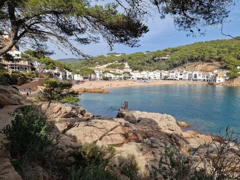
Pals beach and campsites
Campsites and apartments near Platja de Pals and Begur, such as Interpals and Alannia Neptuno, suit families who want space and a long beach.
Camping by the seaGetting there and around
By air
Girona–Costa Brava airport (GRO) is 58 km from Begur by road and Barcelona El Prat 145 km (Visit Begur).
By car
From Barcelona take the AP-7 to exit 9A-9B, the C-35 towards Sant Feliu and Platja d’Aro, the C-31 to Palamós and the GI-653 to Begur. From France, the N-II to Figueres and the C-31 via Torroella and Pals (Visit Begur).
By train and bus
The nearest station is Flaçà, on the Barcelona–Portbou line, 31 km from Begur; buses run on to Palafrugell, whose bus station connects with Girona, Barcelona and the coastal villages (Visit Begur, Catalunya.com). Begur runs a summer beach bus, and Palamós has town and intercity buses to Calonge and Platja d’Aro.
A 1–2 day route
Day 1: Pals, Begur and its coves
Start early in Pals Old Town and the Josep Pla viewpoint, then drive to Begur and climb to the castle. Spend the middle of the day in the coves: swim at Aiguablava or Sa Riera, or have lunch by the boats at Sa Tuna. In the late afternoon, go inland to Peratallada for dinner, or visit Ullastret if it is open.
Day 2: Palafrugell to Palamós
Visit the Cork Museum in Palafrugell, then walk the camí de ronda from Tamariu to Llafranc and on to Calella. In the afternoon, drive to La Fosca and walk the coastal path to Platja del Castell and Cala Estreta. End in Palamós for the fishing boats’ return and a prawn dinner by the port.
FAQ
Is Begur or Palafrugell the better base?
Begur suits people who want a hilltop village and the coves of Aiguablava, Sa Tuna and Sa Riera. Palafrugell’s seaside villages, Calella, Llafranc and Tamariu, put a beach and the coastal path on your doorstep. Palafrugell town has the better bus links.
What are the best beaches near Begur?
Aiguablava for clear, shallow water, Sa Riera for the most sand and the best access, Sa Tuna and Aiguafreda for small rocky coves, and Platja de Pals for space.
Can you walk from Calella de Palafrugell to Tamariu?
Yes. The camí de ronda links Calella, Llafranc and Tamariu, about 6.8 km one way, with a climb past the Sant Sebastià lighthouse.
How do I get to Begur without a car?
Take a train to Flaçà, then buses to Palafrugell and Begur; there is no direct line. In summer, Begur’s beach bus links the village with its main coves.
What is Palamós known for?
Its fishing port and the Palamós prawn, its fish auction and Fishing Museum, and beaches such as La Fosca and Platja del Castell.
Other areas of the Costa Brava
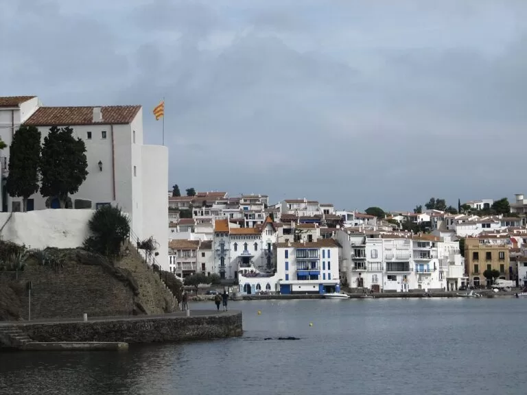
Cap de Creus and the Bay of Roses
Cadaqués, Dalí’s Portlligat, the Cap de Creus Natural Park, Roses and the Aiguamolls wetlands.
Cap de Creus and Roses guide →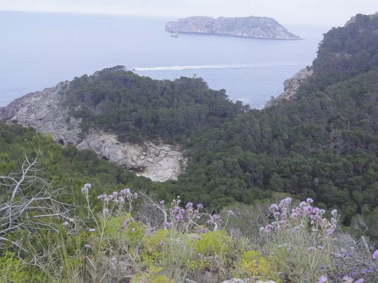
L’Escala, Empúries and the Montgrí
Greek and Roman Empúries, L’Escala’s anchovies, the Montgrí massif, L’Estartit and the Medes Islands.
L’Escala and Montgrí guide →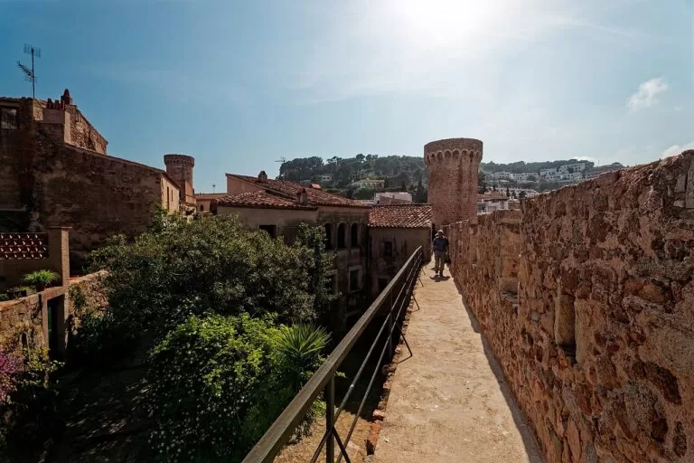
Sant Feliu, Tossa, Lloret and Blanes
The monastery town of Sant Feliu de Guíxols, walled Tossa, Lloret and Blanes.
Sant Feliu to Blanes guide →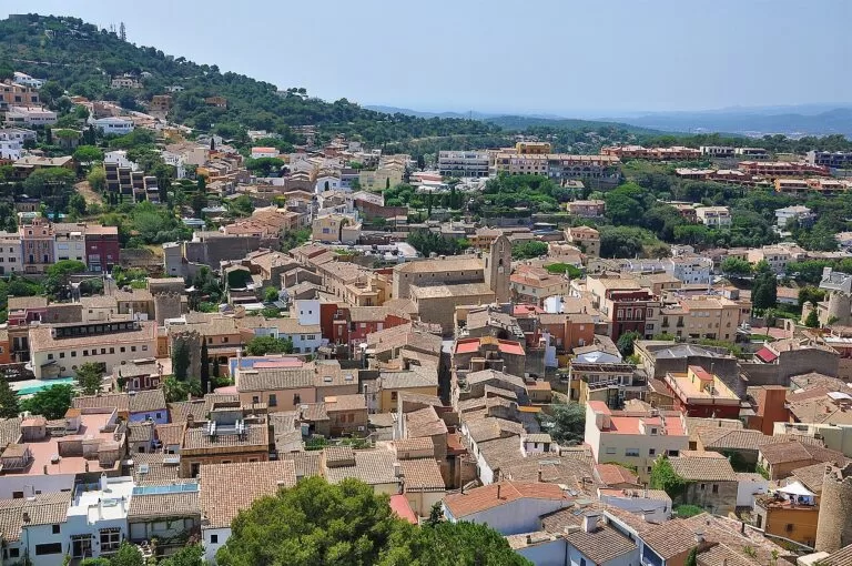
Costa Brava
The full guide to the coast of Girona, from Portbou to Blanes, with the map, trains, weather and campsites.
Costa Brava guide →Sources and freshness
Checked 6 November 2026. Official: Catalunya.com (Catalan Tourist Board) on Begur, Pals, Palafrugell, Palamós, the Baix Empordà, Castell–Cap Roig, the camins de ronda, Castell-Platja d’Aro and the beach pages linked above; Spain.info on Begur, Pals, Palafrugell, Palamós, Calonge, Platja d’Aro and the beaches; Visit Begur on the village, beaches, getting there and getting around. The Palafrugell, Palamós and Platja d’Aro tourism websites could not be opened from here. Campsite and walk details are as in our place pages; locations from OpenStreetMap.
Photo credits · 16 photos from Wikimedia Commons Show
Photos from Wikimedia Commons, not altered except for cropping: Aiguablava, Begur by Arturo Francisco Barbero (CC BY-SA 4.0); Sa Tuna, Begur by andre oortgijs (CC BY-SA 3.0); Llafranc by Jorge Franganillo (CC BY 3.0); Platja de Tamariu, Palafrugell by Davidpar (CC BY-SA 4.0); Camí de ronda, Calella de Palafrugell by Kippelboy (CC BY-SA 3.0); Port de Palamós by Niels Johannes (CC BY-SA 4.0); Ullastret by Alberto-g-rovi (CC BY 3.0); Palamós by Gordito1869 (CC BY 3.0); Begur by Alan Mattingly (CC BY-SA 4.0); Calella de Palafrugell by juan.motje (CC BY 3.0); Port de Palamós by Jorge Franganillo (CC BY 3.0); Tamariu by Chris j wood (CC BY-SA 4.0); Cadaqués by Otger Cataló (CC BY 3.0); Montgrí and Illes Medes by Isidro Jabato (CC BY-SA 4.0); Vila Vella, Tossa de Mar by Txllxt TxllxT (CC BY-SA 4.0); Begur old town by Alberto-g-rovi (CC BY 3.0).