
Costa de Almería · North-east
Levante: Mojácar, Garrucha and Vera travel guide: Pulpí to Sopalmo
The north-east corner of Almería: the white hill village of Mojácar above long beaches, the red-prawn port of Garrucha, Vera’s naturist beach, Phoenician Baria at Villaricos and the giant geode of Pulpí.
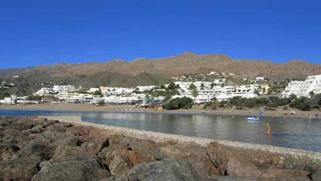
Mojácar Playa · Photo: INDALOMANIA, CC BY-SA 3.0
Part of the Costa de Almería guide · North-east: Levante, Mojácar, Garrucha and Vera
The Levante Almeriense is the north-eastern coast of Almería province, from San Juan de los Terreros at the Murcia border south through Villaricos, Vera Playa, Garrucha and Mojácar to Sopalmo, a few kilometres short of the Cabo de Gata-Níjar Natural Park. It runs through the municipalities of Pulpí, Cuevas del Almanzora, Vera, Garrucha and Mojácar, with Turre, Bédar, Antas and Huércal-Overa a short drive inland.
At a glance
- Where the coast of north-east Almería, from San Juan de los Terreros on the Murcia border to Sopalmo in the south of Mojácar, about 39 km in a straight line.
- Towns San Juan de los Terreros, Villaricos, Palomares, Vera Playa, Garrucha and Mojácar on the coast; Pulpí, Cuevas del Almanzora, Vera, Turre, Bédar, Antas and Huércal-Overa inland.
- Best for long family beaches, a white hill village, red prawns at the Garrucha fish market, naturist beaches at Vera, coastal castles and the Geoda de Pulpí.
- Getting there Almería airport is about 57 km from Mojácar and the Región de Murcia airport about 68 km from San Juan de los Terreros, in a straight line; the A-7 and AP-7 run behind the coast.
- On CostaMap Mojácar and Mojácar la Vieja, Garrucha, Vera, Cuevas del Almanzora, Villaricos, San Juan de los Terreros, the Geoda de Pulpí and Huércal-Overa.
Map of the Levante coast of Almería
Place type
Area · next level
 Area map
Levante: Mojácar, Garrucha and Vera
Click a marker to see the place here. From San Juan de los Terreros and the Geoda de Pulpí to Villaricos, Garrucha and Mojácar.
Towns and villagesTowns and villages
From north to south, Murcia border to Sopalmo. History and sights are from Andalucía.org, Andalusia’s official tourism site, unless another source is named.
San Juan de los Terreros and Pulpí
San Juan de los Terreros is the coastal village of Pulpí and its beaches are the last in Andalusia: the next town north is Águilas, in Murcia. Off the shore lie two small volcanic islets, the Isla de Terreros and Isla Negra Natural Monument, and on a hill stands the Castillo de San Juan de los Terreros, built in 1764. (Andalucía.org). Pulpí town lies in the inland plain behind a low range of hills. At Pilar de Jaravía, between the two, the old Mina Rica holds the giant geode, open to guided visits since 2019. See our guides to San Juan de los Terreros and the Geoda de Pulpí.
Villaricos and Palomares
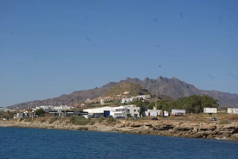
Villaricos sits at the mouth of the Almanzora river, in the municipality of Cuevas del Almanzora. It stands on Baria, a Phoenician town that the Junta de Andalucía dates to the 8th century BC; the visible remains are rock-cut tombs in the necropolis north of the village (Andalucía.org). The 18th-century Torre de Cristal by the beach is now an information point. Villaricos has two small ports, two diving schools and the Playazo, a beach of dark sand from old smelting slag. Palomares, just south, is known for the 1966 accident in which three American bombs fell on its beaches. (Andalucía.org). See our Villaricos guide.
Cuevas del Almanzora
The town is inland, on the Almanzora river, and takes its name from the caves dug into the hills along the river. The silver found in the Sierra Almagrera in 1838 made it rich; it had more than 26,000 inhabitants in 1910. The Castillo del Marqués de los Vélez, a protected monument, holds the tourist office and the Museo Arqueológico, which shows finds from the Argaric Bronze Age site of Fuente Álamo. A cave house is kept as an ethnographic museum (Andalucía.org). Its coast is Villaricos, Palomares and Pozo del Esparto. See our Cuevas del Almanzora guide.
Vera and Vera Playa
Vera is an old town a little back from the sea. An earthquake destroyed it in 1518, and two years later it was rebuilt on its present site by order of Carlos V as a walled rectangular town, with the parish church as its central fortress. The Iglesia de la Encarnación still looks like a fortress, built against pirate raids; the town hall and the Museo Histórico are close by (Andalucía.org). Vera’s beaches lie at Vera Playa, on the coast road towards Villaricos. Spain.info describes El Playazo of Vera as a naturist beach: 1,200 m of dark sand, 100 m wide, often windy, with sunbeds and a surf area (spain.info). See our Vera guide.
Garrucha
Garrucha is the most important fishing town of the eastern Almería coast and became a municipality of its own in 1861. In the 19th century it shipped the ore of the Sierra Almagrera and Bédar mines. Today it has 68 fishing boats, a marina and a commercial port. The speciality of its port is the red prawn, the gamba roja (Andalucía.org). On the waterfront are the Iglesia de San Joaquín and the Castillo de Jesús Nazareno, a coastal fort of the time of Carlos III, and the Malecón is lined with restaurants (Andalucía.org). See our Garrucha guide.
Mojácar
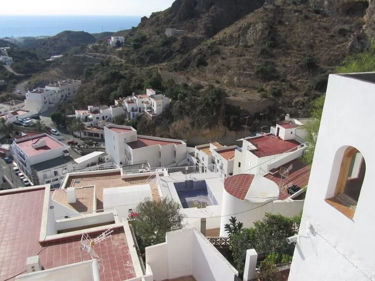
Mojácar has two parts: the white village on a hill at the foot of the Sierra Cabrera, and Mojácar Playa along the sea below. The village keeps its Moorish layout of terraces and narrow lanes, the Church of Santa María, a 15th-century castle, and the city gate and a fortified tower from the old walls (spain.info). Until the mid-13th century the town stood on the hill of Mojácar la Vieja, next to the Aguas river (Mojácar town hall). The Indalo, comes from a cave painting in the Cueva de los Letreros in Vélez-Blanco and is now a symbol of the whole province (Andalucía.org). The town hall gives 17 km of coast, from Marina de la Torre on the Garrucha border to Sopalmo (Mojácar town hall). See our guides to Mojácar, Mojácar la Vieja and the Mojácar town guide.
Turre, Bédar, Los Gallardos and Antas
Turre lies north of the Sierra Cabrera beside the Aguas river, a few kilometres inland from Mojácar; its name comes from the Latin turris, after a watchtower the Muslims of Mojácar built there. (Andalucía.org). Bédar, in the last foothills of the Sierra de los Filabres, was a lead-mining village: in 1888 the province’s first aerial cable carried ore from El Pinar down to the beach at Garrucha, followed by a railway in 1896 (Andalucía.org). Los Gallardos, between the beach and the mountains, became a municipality separate from Bédar in 1924 (Andalucía.org). Antas gave its name to El Argar, the site of the Bronze Age Argaric culture of about 1900 to 1300 BC (Andalucía.org).
Huércal-Overa and Albox
Huércal-Overa lies inland on the Murcia border. Its castle, a Nasrid fortified site with a tower and an outer wall, has been a protected monument since 1985 (Andalucía.org). See our Huércal-Overa guide. Further up the valley, Camping Albox is the nearest CostaMap campsite, about 40 km inland.
Beaches and coves
From north to south. Lengths and surfaces are from spain.info’s beach sheets; services from Andalucía.org and Mojácar town hall.
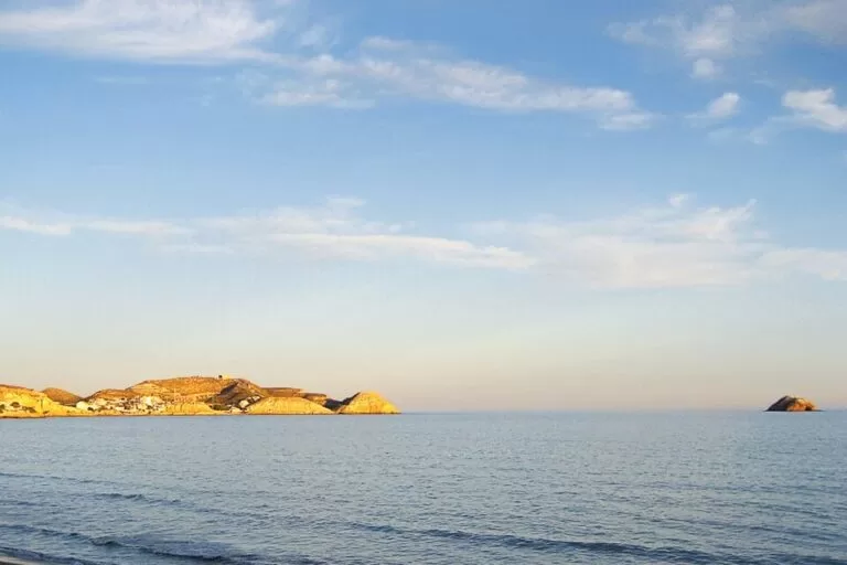
Cala Cerrada
A small shell-shaped cove of golden sand, 150 m by 20 m, with calm water that suits children; busy in season (spain.info).
See the San Juan de los Terreros guide →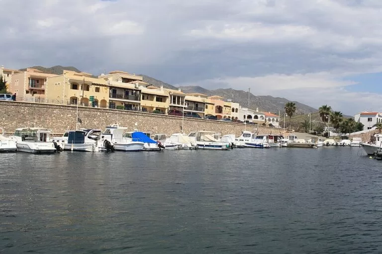
Playazo de Villaricos
Dark sand and rocks from old smelting slag, with lifeguards, adapted toilets and amphibious chairs; first awarded a Blue Flag in 2019 (Andalucía.org).
See the Villaricos guide →Playa de Garrucha
A town beach of 1,370 m of golden sand with calm water, made larger by recent works, with bars on the promenade; lifeguards and amphibious chairs in season (spain.info).
See the Garrucha guide →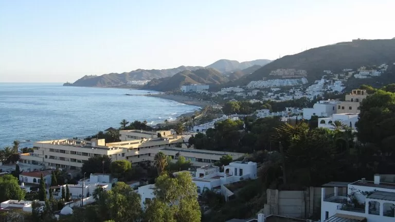
El Cantal
Mojácar’s longest urban beach: 2,800 m of sand, gravel and rock with every service and a tourist office (spain.info). Lifeguards work 11:00–19:00 in the 2026 season (Mojácar town hall).
See the Mojácar guide →Also: El Playazo de Vera (1,200 m) is a naturist beach. In Mojácar, El Descargador (900 m) and Lance Nuevo (400 m, calm, on the old breakwater) are busy family beaches; Venta del Bancal-Ventanicas starts the promenade; Castillo de Macenas (1,420 m of rock, gravel and dark sand) is quiet and has an 18th-century tower; and El Sombrerico (600 m), the last beach south, is reached by a 4 km track. North of Villaricos, Quitapellejos (1,400 m) has few buildings (all spain.info).
Things to do
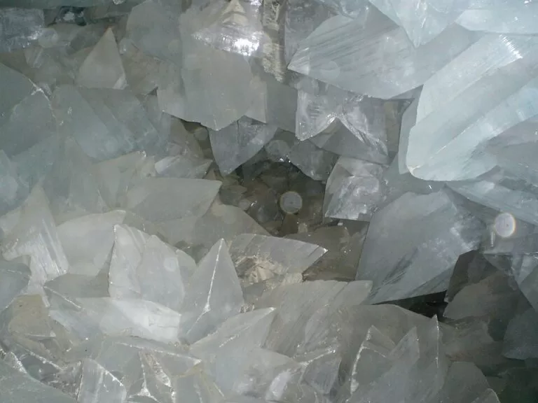
Nature: a giant geode, islets and the Sierra Cabrera
The Geoda de Pulpí is a hollow about 8 m long and 2 m high, lined with gypsum crystals of up to almost 2 m, 60 m down in the Mina Rica; visits are guided and booked in advance (Andalucía.org). Off San Juan de los Terreros, the Isla de Terreros holds the province’s most important colony of nesting seabirds, including Cory’s shearwater and the storm petrel (Andalucía.org). The Sierra Cabrera rises behind Mojácar and Turre, and south of Sopalmo the coast enters the Cabo de Gata-Níjar Natural Park.
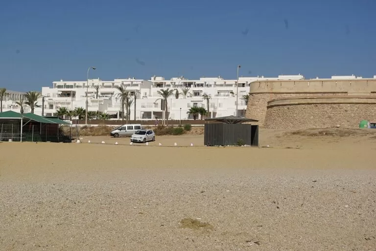
History: Phoenicians, Moors and coastal forts
Start with Baria at Villaricos, one of the key Phoenician sites in Iberia, and the Argaric finds in the museum of Cuevas del Almanzora. Mojácar la Vieja keeps one of the most impressive cisterns surviving from the Kingdom of Granada (Mojácar town hall). In 1488 Alabez, the last Muslim governor of Mojácar, met Captain Garcilaso de la Vega at the village fountain and asked to be treated as a brother, not an enemy; his people were allowed to stay. A chain of 18th-century forts runs from San Juan de los Terreros to Macenas.
Food: red prawns at the Garrucha fish market
The gamba roja de Garrucha is fished in a small area off the town, and the fish auction at the lonja has become a sight in itself: buyers sit in silence on the stands in front of grouper, red mullet and, above all, the red prawns (Andalucía.org). Andalucía.org also lists a red prawn food festival in Garrucha.
Where to stay by town
The towns we would base a trip in, north to south.
San Juan de los Terreros
Holiday homes by small calm coves, close to the Geoda de Pulpí and to Águilas. Quiet outside summer.
Families and covesGarrucha
A working fishing town that stays alive all year, with a town beach, the marina and fish restaurants on the Malecón. Central for both Vera and Mojácar.
Food and town life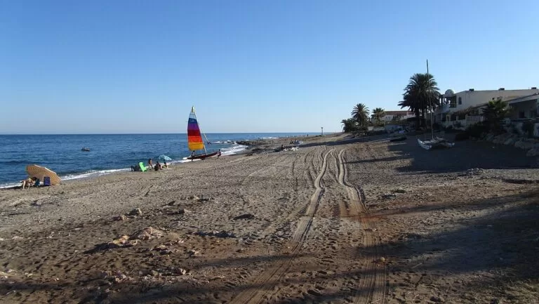
Mojácar Playa
Hotels and apartments along Mojácar’s coast, with the village about 3 km up the hill (Andalucía.org). The classic beach base.
Beach holidaysMojácar village
A few places to stay in the old village, for evenings in the lanes and views over the coast. You need a car or bus for the beach.
Couples, short staysGetting there and around
By air
Almería airport (LEI), east of Almería city, is about 57 km from Mojácar and 62 km from Garrucha in a straight line. For the north of the area, the Región de Murcia International Airport is about 68 km from San Juan de los Terreros (OpenStreetMap).
By car
The A-7 motorway from Almería runs inland behind Mojácar and Vera and becomes the AP-7 towards Murcia, with an exit for Pulpí and San Juan de los Terreros. The A-332 follows the coast from Vera to Águilas, and the AL-7107 links Vera Playa, Villaricos and San Juan de los Terreros along the shore (Spanish Wikipedia).
By bus
We could not confirm current bus routes and timetables between the coastal towns and Almería; check with the tourist offices in Garrucha (Paseo del Malecón 42) or Mojácar before you rely on them.
A two-day route
By car, north to south, with a night in Garrucha or Mojácar.
Day 1
The Geoda, San Juan de los Terreros and Villaricos
Book a morning slot at the Geoda de Pulpí. Drive down to San Juan de los Terreros for the castle hill and a swim at Cala Cerrada. In the afternoon follow the coast road south to Villaricos for the Torre de Cristal and the Playazo, then on to Vera Playa or Garrucha.
Day 2
Garrucha, Mojácar and Macenas
Walk the Garrucha waterfront. Drive to Mojácar la Vieja and then up to Mojácar village for lunch and its lanes. End the day on the quieter beach below the Castillo de Macenas, or continue south past Sopalmo towards Carboneras.
FAQ
What is the Levante Almeriense?
The north-eastern part of Almería province, around Vera, Cuevas del Almanzora, Garrucha, Mojácar and Pulpí. Its coast runs from San Juan de los Terreros at the Murcia border to Sopalmo, south of Mojácar.
Is Mojácar on the Costa de Almería?
Yes. Mojácar is the best-known resort of the Costa de Almería’s north-eastern stretch, with 17 km of coast between Garrucha and the Carboneras border.
What are the best beaches near Mojácar?
El Cantal and El Descargador for services, Lance Nuevo for calm water, and Castillo de Macenas or El Sombrerico for quiet. Further north, Garrucha’s town beach and Cala Cerrada at San Juan de los Terreros.
Is there a naturist beach at Vera?
Yes. Spain.info lists El Playazo of Vera as a naturist beach: 1,200 m of dark sand with sunbeds and showers.
Which airport is closest to Mojácar?
Almería airport, about 57 km away in a straight line. For San Juan de los Terreros and Pulpí the Región de Murcia airport is closer.
Can you visit the Geoda de Pulpí?
Yes, on a 90-minute guided visit through the Mina Rica, booked in advance. Wear closed shoes.
Other areas of the Costa de Almería
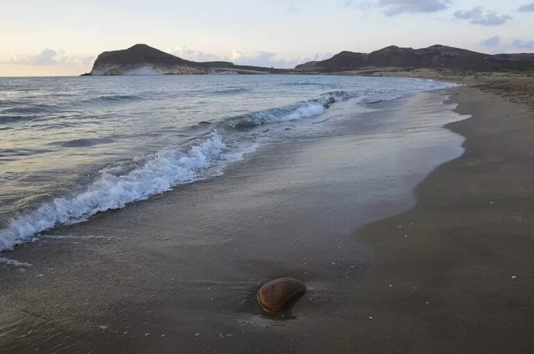
Costa de Almería
The whole coast of Almería province from Pulpí to Adra, with the map, the four areas and the inland day trips.
Costa de Almería guide →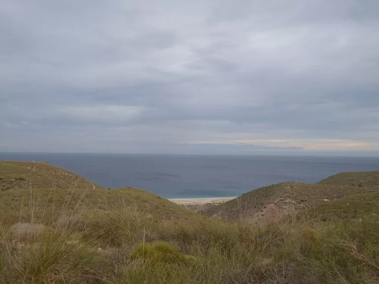
Cabo de Gata-Níjar
Volcanic cliffs, dark-sand coves and fishing villages from Carboneras south to the Cabo de Gata lighthouse.
Cabo de Gata-Níjar guide →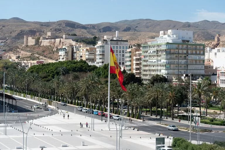
Almería city
The provincial capital on its bay, under the Alcazaba, with the port and the airport.
Almería city guide →
Poniente: Roquetas de Mar to Adra
The big beaches of Roquetas and Aguadulce, the Punta Entinas-Sabinar salt pans and Adra.
Poniente guide →North of San Juan de los Terreros, in Murcia, the coast continues as the Costa Cálida: Águilas is about 9 km away and the Cuatro Calas walk about 4 km.
Sources and freshness
Checked 9 November 2026. Andalucía.org (Junta de Andalucía tourism) on Pulpí, San Juan de los Terreros, Isla de Terreros e Isla Negra, the Geoda de Pulpí, Villaricos archaeological zone, Playazo de Villaricos, Cuevas del Almanzora and its archaeological museum, Vera, Garrucha, the Garrucha marina, the Garrucha fish market, Mojácar, Mojácar history, Turre, Bédar, Los Gallardos, Antas, Huércal-Overa castle and Albox. Spain.info (Turespaña) on Mojácar and its beach sheets for Cala Cerrada, Quitapellejos, El Playazo (Vera), Garrucha, El Cantal, El Descargador, Lance Nuevo, Venta del Bancal-Ventanicas, Castillo de Macenas and El Sombrerico. Mojácar town hall on history and beaches and 2026 lifeguards. Roads: Spanish Wikipedia on San Juan de los Terreros and Villaricos. Map data and straight-line distances: OpenStreetMap (ODbL). Not confirmed: bus routes and timetables, Blue Flags 2026 outside Mojácar, Geoda prices and times. The town hall sites of Pulpí, Cuevas del Almanzora, Vera, Garrucha and Turre, turismodealmeria.org and geodapulpi.es could not be reached when we checked. Photos from Wikimedia Commons: Mojácar Playa, Mojácar village, Mojácar beach and Playa del Palmeral by INDALOMANIA (CC BY-SA 3.0); Garrucha by Concepcion AMAT ORTA (CC BY 3.0); Geoda de Pulpí by JMorillasR (CC BY-SA 4.0); Villaricos by Unzurrunzaga (CC BY-SA 3.0); San Juan de los Terreros by ice tea (CC BY 2.0); Los Genoveses by Javier Pérez López (CC BY 3.0); Playa de los Muertos by Millars (CC BY-SA 4.0); Almería by Paul Colin Hennig firstdorsal.eu (CC BY-SA 4.0); Roquetas de Mar by Roquex (CC0).