
Costa Cálida · Cartagena and La Unión
Cartagena and La Unión travel guide: Roman port, mining coast and wild coves
Roman and naval Cartagena, the cliffs and dive sites of Cabo Tiñoso, the mining town of La Unión and the scarred bay of Portmán.
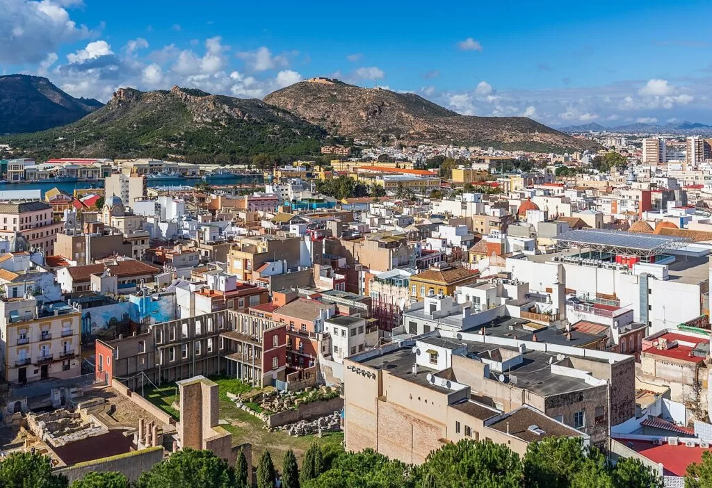
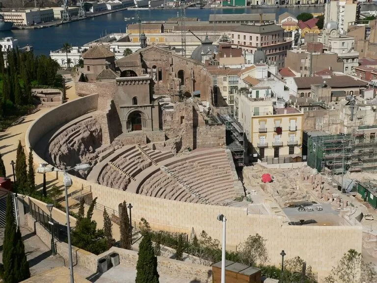
Cartagena from Parque Torres · Photo: Ximonic (Simo Räsänen), CC BY-SA 4.0
Part of the Costa Cálida guide · Cartagena and La Unión
This is the middle of the Costa Cálida in the Region of Murcia: the open-sea coast of Cartagena and La Unión, from La Azohía and Isla Plana under Cabo Tiñoso in the west, past Cartagena’s natural harbour, to Portmán and the edge of the Calblanque park in the east. It is the stretch for history rather than long sandy beaches: Spain.info calls Cartagena a port prized since Carthaginian times, and the regional tourist board says mining shaped the short coast of La Unión (Spain.info, Region of Murcia tourism).
At a glance
- Where the Mediterranean coast of Cartagena and La Unión municipalities, about 40 km in a straight line from La Azohía to the Calblanque park, between the Bay of Mazarrón and La Manga.
- Towns Isla Plana and La Azohía, El Portús, Cartagena city with Cala Cortina, El Gorguel, La Unión and Portmán.
- Best for Roman and naval history, diving and snorkelling off Cabo Tiñoso, mining heritage and flamenco in La Unión, and quiet village beaches.
- Getting there Región de Murcia airport (RMU) is about 24 km from Cartagena in a straight line; Cartagena has a train station and a bus station, and the C-1 Cercanías line runs from Cartagena through La Unión to Los Nietos on the Mar Menor.
- On CostaMap guides to Cartagena and La Unión, the Roman Theatre, Cartagena Cathedral, the ARQUA museum, Castillo de San Julián, Cala Cortina, El Portús beach, La Azohía, Portmán, Calblanque and two camper stops inland.
Map of Cartagena and La Unión
The map shows the places on this stretch that have a CostaMap page. Tick a place type to filter, and click a marker to see the place in the panel.
Place type
Area · next level
 Area map
Cartagena and La Unión
Click a marker to see the place here. From La Azohía and El Portús past Cartagena to La Unión, Portmán and Calblanque.
Towns and villagesTowns and villages
From west to east along the coast, with inland places next to the town you reach them from.
Isla Plana and La Azohía
The two westernmost villages of Cartagena municipality lie on the east side of the Bay of Mazarrón, off the RM-E22 road from Cartagena towards Mazarrón. The regional tourist board describes them as small villages with large beaches and mountain views, long used as summer resorts, and both are served by the ALSA Cartagena–Mazarrón bus. Isla Plana’s town beach is 580 m long, with lifeguards and first aid listed and an assisted-bathing service in July and August. La Azohía, 3.6 km east, is quieter: a fishing village known for its almadraba tuna trap, with the 16th-century Torre de Santa Elena on the point and an 800 m beach of sand and gravel. It is the base for diving in the Cabo Tiñoso marine reserve. See our La Azohía guide.
Cabo Tiñoso and the Batería de Castillitos
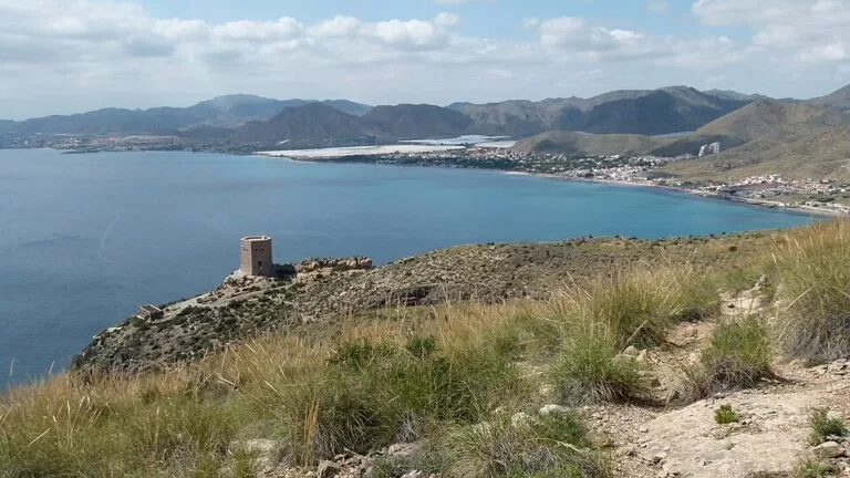
Between La Azohía and Cartagena the coast rises into the Sierra de la Muela, Cabo Tiñoso y Roldán, a protected area of 7,776 ha of limestone, cliffs and small coves where the tourist board lists golden and Bonelli’s eagles, eagle owls and peregrine falcons (Region of Murcia tourism). The board calls Cabo Tiñoso, over 300 m high, an excellent vantage point, and names the military batteries on the cape among the area’s landmarks. The best known is the Batería de Castillitos, built in 1933–36 with a façade imitating a medieval castle and two 381 mm Vickers coastal guns that guarded the approach to Cartagena (Wikipedia). It is reached by a road from the RM-E23 and a walk of about 800 m from the car park. We could not confirm visiting rules on an official site.
El Portús
El Portús is a small fishing village 11 km from Cartagena by road, in a cove below the Sierra de la Muela. Its 350 m beach is sand and pebbles; next to it, behind a headland, is Cala Morena, reached through the TAIGA Costa Cálida campsite. The regional tourist board names El Portús and Cabo Tiñoso as essential stops for divers. The Bus Playa (line 12) runs from Cartagena in July and August. See our El Portús beach guide.
Cartagena
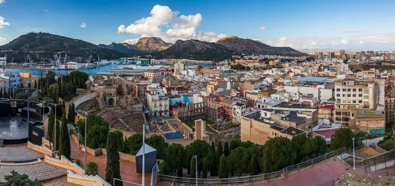
Cartagena is a working port and naval city of more than 200,000 people, founded by the Carthaginian Hasdrubal in 227 BC according to the regional tourist board. The old town sits between the harbour and five hills. Its symbol is the Roman Theatre, built under Augustus and only identified in 1990, with a museum by Rafael Moneo that leads through the ruins of the old Cathedral of Santa María la Vieja. On the port are the national underwater archaeology museum ARQUA, with the treasure of the frigate Nuestra Señora de las Mercedes, and the Naval Museum with Isaac Peral’s submarine. Spain.info also points to the Punic Wall, the modernist houses on the Calle Mayor and the Santa Lucía fishing quarter. See our Cartagena town guide and the Cartagena place page.
Cala Cortina and the harbour mouth
The city’s own beach is Cala Cortina, on the east side of the harbour entrance. The tourist board says you reach it through a tunnel, and lists a play area, promenade, restaurant, loungers and sunshades, with good snorkelling. Above it, on Monte San Julián at 293 m, stands the Castillo de San Julián, a fort built between 1861 and 1888 that is not open to visitors (our Cartagena guide).
Inland from Cartagena: the camper stops
West and north of the city, in the farmland of the Campo de Cartagena, are two camper stops on CostaMap: Area Camper Park Caravanas Home near Perín, about 9 km from the Roman Theatre in a straight line, and El Mástil Camper Park near La Aljorra, about 13 km away.
La Unión
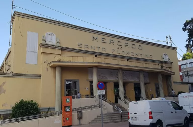
La Unión, about 10 km east of Cartagena, is an old lead and silver mining town of 21,380 people (INE 2025) at the foot of the Sierra Minera. The regional tourist board describes mountains streaked with iron, manganese, zinc and pyrite, and three museums: the Mining Museum in the 1901 Liceo de Obreros, the Ethnological Museum in Roche and the Roman museum in Portmán (Region of Murcia tourism, La Unión). The Parque Minero restores eight 19th-century mine workings over 50,000 m² and is free to visit outside, but the Agrupa Vicenta show mine is listed as temporarily closed (checked November 2026). Every August since 1961 the town hosts the Cante de las Minas flamenco festival, declared of International Tourist Interest, in the modernist Antiguo Mercado Público of 1907. See our La Unión guide.
Portmán
Portmán is La Unión’s village on the sea, the Roman Portus Magnum, about 4 km south of the town. From 1957 to the late 1980s waste from the mine washeries was piped into its bay and filled much of it, and a regeneration project began in 2016. The village keeps an archaeological museum in its 1892 miners’ hospital, with Roman mosaics from the villa of El Paturro, open at weekends. The tourist board recommends the Lastre beach for a swim and notes that photographers come for the colours of sand, sea and sky. See our Portmán guide.
Calblanque (to the east)
East of Portmán begins the regional park of Calblanque, Monte de las Cenizas y Peña del Águila, which runs to Cabo de Palos. The tourist board lists pine woods, dunes, fossil dunes, coves, cliffs and the Salinas del Rasall, and regulates car access to the beaches in summer; information is at the Las Cobaticas visitor centre. Cabo de Palos and La Manga beyond it are covered in our La Manga and Cabo de Palos guide.
Beaches and coves
From west to east. Figures are from the regional tourist board, checked November 2026.
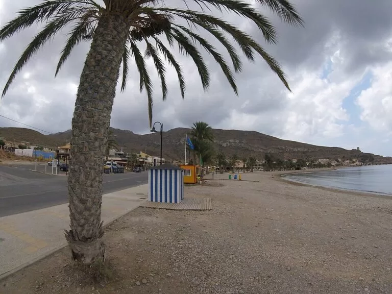
Playa de la Azohía – El Cuartel
800 m of sand and gravel in a marine protected area, with adapted toilets, amphibious chairs and an assisted-bathing service.
See the La Azohía guide →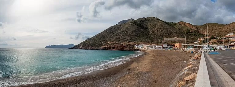
Playa de El Portús
350 m of sand and pebbles in a fishing village, a favourite with divers; Cala Morena lies next door through the campsite.
See the El Portús guide →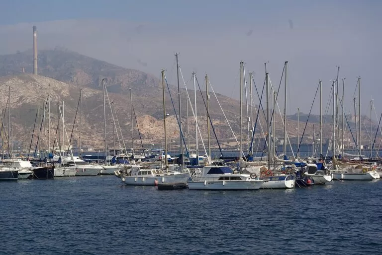
Cala Cortina
The city beach at the harbour mouth, reached through a tunnel, with a promenade, play area, restaurant and snorkelling.
See Cala Cortina →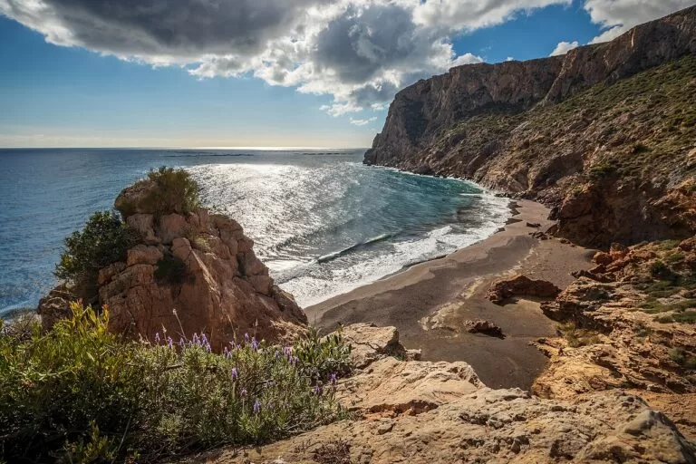
Cola del Caballo and El Gorguel
A small rocky cove west of Portmán, beside El Gorguel, on the road from Cartagena (Wikipedia; no official beach data).
See the Portmán guide →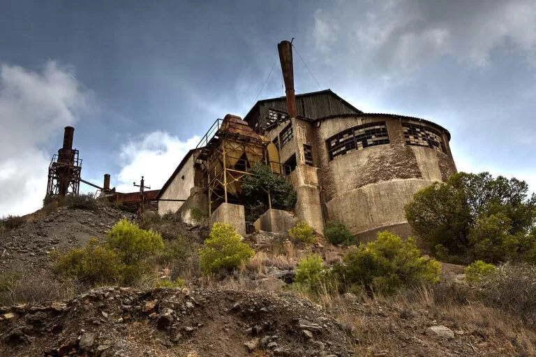
Playa de Portmán and the Lastre
950 m of fine golden sand with beach bars and a bus from La Unión; the tourist board suggests the Lastre beach for a swim.
See the Portmán guide →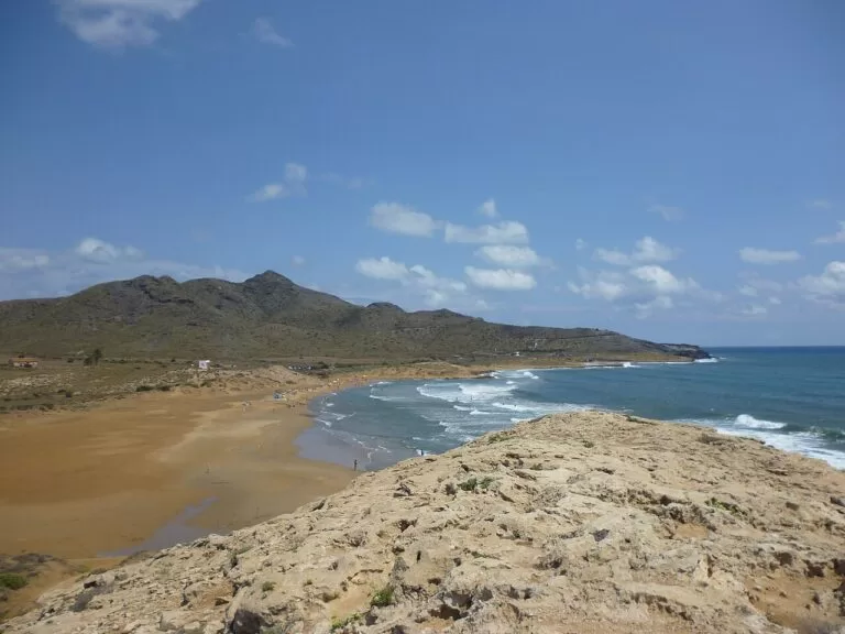
Calblanque beaches
Undeveloped beaches and dunes in the regional park east of Portmán, with summer controls on car access.
See Calblanque →Things to do
History: Roman and naval Cartagena
Start at the Concepción castle on one of the five hills, where the regional tourist board says the interpretation centre covers 3,000 years of the city in about an hour; a panoramic lift climbs from the port. Then the Roman Theatre Museum and the Roman Forum quarter, which the board says lay hidden underground for more than 20 centuries. On the waterfront, ARQUA shows the Mercedes treasure and the Phoenician wrecks found off Mazarrón, and the Naval Museum shows ship models, navigation instruments and the Peral submarine. Holy Week in Cartagena is declared of International Tourist Interest; the Carthaginians and Romans festival fills the second half of September.
Mining heritage and flamenco
In La Unión, the Mining Museum holds more than 300 mining objects, 200 minerals and the last malacate (shaft winding gear) of the Sierra Minera; entry is €5 and it is closed on Mondays (checked November 2026). The Parque Minero is free and outdoor. At El Beal, on the Cartagena side of the sierra, the Mina Las Matildes interpretation centre runs guided routes through the mining landscape from Thursday to Sunday, 10:00–14:00, at €4 (Region of Murcia tourism). The Cante de las Minas festival in August is the event of the year.
Nature and diving
The Cabo Tiñoso marine reserve is the big draw for divers: the tourist board lists more than a dozen sites off La Azohía, from caves with inner lagoons at 3–12 m to the cape edge at up to 54 m, plus wrecks used by the Navy diving centre (diving La Azohía – Cabo Tiñoso). On land, walk to the Torre de Santa Elena or the Cabo Tiñoso batteries; in Calblanque the park advises going early with water and insect repellent.
Food
Spain.info names fish preserved in brine, rice dishes and the caldero, rice cooked in fish stock with garlic mayonnaise, as Cartagena’s star dishes, and the asiático, coffee with condensed milk, liqueur and cinnamon, as the local drink. In La Azohía, a fish shop by the harbour sells tuna from the almadraba.
Where to stay by town
The places we would base a trip in, west to east.
Isla Plana and La Azohía
Apartments and campsites by the sea, with the bus to Cartagena and Mazarrón. Quiet outside July and August.
Divers, families, walkersCartagena old town
Hotels and flats within walking distance of the museums, the port and the station; the beaches are a bus or drive away.
History lovers, no car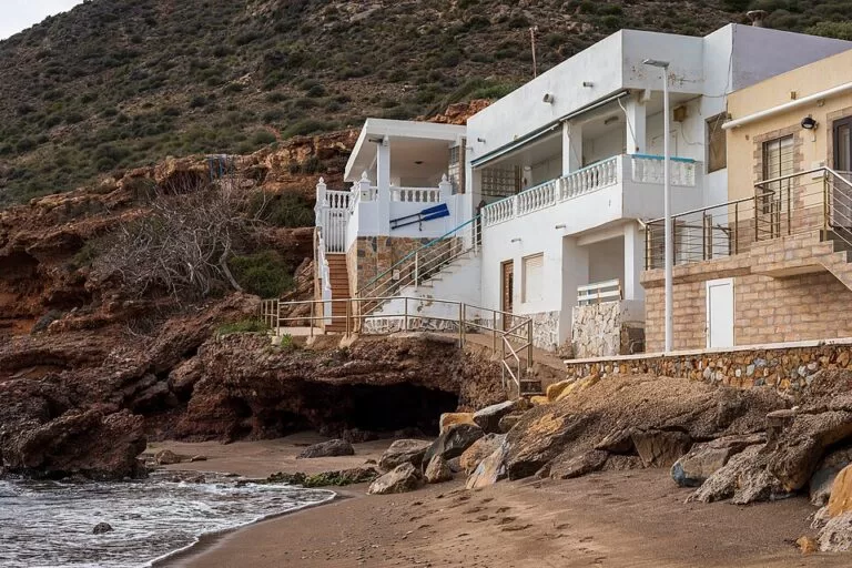
El Portús
The campsite with pitches, bungalows and apartments, and little else: a base for the sea, not for evenings out.
Campers, snorkellers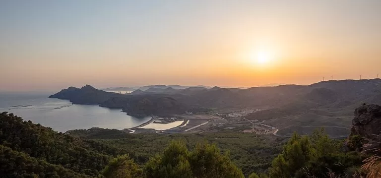
La Unión and Portmán
Visited mostly for the museums and the August festival; with the C-1 train, an easy day trip from Cartagena or the Mar Menor.
Flamenco fans, day tripsGetting there and around
By air: Región de Murcia international airport (RMU) at Corvera is about 24 km from Cartagena and 30 km from La Unión in a straight line; Alicante–Elche is about 83 km from Cartagena (our town guides).
By train: Cartagena has a railway station with trains to Murcia. The metre-gauge Cercanías C-1 line runs from Cartagena through La Unión, with halts at Sierra Minera, La Unión Vieja and La Esperanza, to Los Nietos on the Mar Menor.
By bus: ALSA runs Cartagena–Mazarrón via Isla Plana and La Azohía; city line 4 reaches Galifa and the Bus Playa (line 12) reaches El Portús in July and August; a line links La Unión and Portmán.
By car: the RM-E22 and RM-332 lead west to the villages under Cabo Tiñoso, the N-332 crosses La Unión, and the road from Los Belones drops to Portmán. A car is the easy way to reach the coves and batteries.
A two-day route
By car, west to east.
Day 1
Roman and naval Cartagena
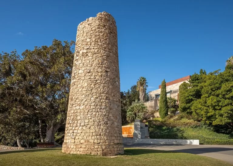
Take the lift up to the Concepción castle for the view and the interpretation centre, then walk down to the Roman Theatre Museum and the Forum quarter. After lunch in the old town, visit ARQUA on the port, and finish with a swim at Cala Cortina.
Day 2
Mining country or Cabo Tiñoso
East option: the Mining Museum in La Unión in the morning (closed Mondays), the Parque Minero, then down to Portmán for the bay and, at weekends, the Roman mosaics. West option: drive to La Azohía, walk to the Torre de Santa Elena, dive or snorkel off Cabo Tiñoso and stop at El Portús on the way back.
FAQ
Does Cartagena have a beach?
Yes, Cala Cortina, reached through a tunnel at the harbour mouth. Larger beaches lie outside the city, at La Azohía, Isla Plana and Calblanque.
What is there to see in La Unión?
The Mining Museum, the outdoor Parque Minero, the modernist Antiguo Mercado Público and, in August, the Cante de las Minas flamenco festival. The Agrupa Vicenta show mine was listed as temporarily closed in November 2026.
Why is Portmán Bay famous?
Waste from the mine washeries of the Sierra Minera was piped into the bay from 1957 to the late 1980s and filled much of it. A regeneration project started in 2016.
Where is the best diving near Cartagena?
Off La Azohía and Cabo Tiñoso, a marine reserve where the regional tourist board lists caves, walls and wrecks from 3 m to 54 m. El Portús is another dive base.
How do I get from Cartagena to La Unión?
By the Cercanías C-1 train, which runs from Cartagena through La Unión to Los Nietos, by bus or by car; the towns are about 10 km apart.
Can you visit the Batería de Castillitos?
The battery on Cabo Tiñoso is reached by a road off the RM-E23 and a walk of about 800 m from the car park. We could not confirm visiting rules on an official site, so check locally.
Other areas of the Costa Cálida
Costa Cálida
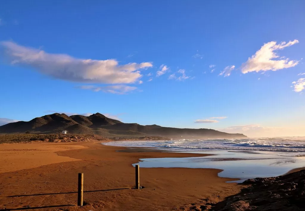
The Region of Murcia’s coast from San Pedro del Pinatar to Águilas, with the map, the Mar Menor and all four areas.
Costa Cálida guide →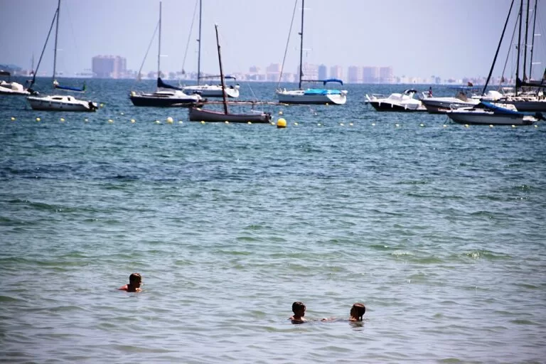
Mar Menor north
Calm, shallow lagoon beaches at San Pedro del Pinatar, San Javier and Los Alcázares.
Mar Menor north guide →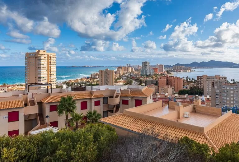
La Manga and Cabo de Palos
The sand bar between two seas, and the lighthouse village by the Islas Hormigas marine reserve.
La Manga guide →
Mazarrón and Águilas
Coves, Phoenician wrecks and the castle harbour of Águilas, west across the Bay of Mazarrón.
Mazarrón and Águilas guide →Sources and freshness
Checked 7 November 2026. Official tourism: Region of Murcia tourist board on Cartagena, the Cartagena coast and La Unión, La Unión, diving at La Azohía and Cabo Tiñoso, the Sierra de la Muela, Calblanque, the Parque Minero, the Mining Museum, Mina Las Matildes, the Portmán museum and the beach pages for La Azohía, Isla Plana, El Portús and Portmán; Spain.info on Cartagena and La Unión. Figures such as population, airport distances and train halts come from our Cartagena and La Unión guides and the Costa Cálida guide. Background: Wikipedia on Batería de Castillitos and Portmán. The Cartagena and La Unión town hall sites could not be reached for this update. Distances are straight lines between OpenStreetMap points (OpenStreetMap contributors, ODbL). Photos: Wikimedia Commons, licences as credited on each image page.