
Costa Cálida · South
Mazarrón and Águilas travel guide: the open-sea Costa Cálida
The southern end of the Murcia coast: the bay and port of Mazarrón, the sandstone of Bolnuevo, the wild coves of Calnegre and Cabo Cope, and the castle town of Águilas on the border with Andalucía.
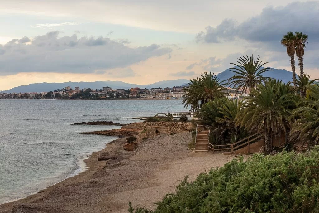
Playa de la Raja, Puerto de Mazarrón · Photo: Ximonic (Simo Räsänen), CC BY-SA 4.0
Part of the Costa Cálida guide · South: Mazarrón and Águilas
Mazarrón and Águilas is the southern, open-sea part of the Costa Cálida: about 41 km of Mediterranean coast in a straight line, from El Mojón at the eastern edge of Mazarrón to the Cuatro Calas on the border with Almería province. It takes in the municipalities of Mazarrón and Águilas and the short coast of Lorca between them, where the Cabo Cope and Puntas de Calnegre regional park keeps the shore undeveloped. Unlike the Mar Menor to the north, the water here is the open sea, and the regional tourist board gives each of the two towns about 35 km of coastline (Murcia regional tourism).
At a glance
- Where the south-west of the Region of Murcia, from El Mojón and the Bay of Mazarrón past Bolnuevo, Puntas de Calnegre and Cabo Cope to Águilas and the Andalusian border.
- Towns Puerto de Mazarrón and Mazarrón town, Bolnuevo, Puntas de Calnegre (Lorca), Calabardina, Águilas and Calarreona.
- Best for quiet coves and diving, family town beaches, Phoenician and Roman history, and coastal walks.
- Getting there Región de Murcia airport (RMU) is about 29 km from Puerto de Mazarrón and 59 km from Águilas in a straight line (OpenStreetMap). Águilas has a train station; buses link Mazarrón with Murcia.
Map of Mazarrón and Águilas
The map shows the places on this stretch that have a CostaMap page. Tick a place type to filter, and click a marker to see the place in the panel.
Place type
Area · next level
 Area map
Mazarrón and Águilas
Click a marker to see the place here. From Puerto de Mazarrón and Bolnuevo past Calnegre and Cabo Cope to Águilas.
Towns and villagesTowns and villages
From north-east to south-west, following the coast from the Bay of Mazarrón to the Almería border. Descriptions are from the Region of Murcia’s official tourism site and spain.info; beach sizes from the regional beach pages; distances are in a straight line from OpenStreetMap. Isla Plana and La Azohía, just east of El Mojón, belong to Cartagena and are covered in our Cartagena and La Unión guide.
Puerto de Mazarrón and El Mojón
Puerto de Mazarrón is the seaside half of the municipality, with the fishing port, the fish market and most of the beaches. The fish auction at the Lonja runs Monday to Friday, (Murcia regional tourism). The marina has 200 moorings. Two museums tell the port’s history: the Archaeological Museum, built over a 4th–5th-century Roman fish-salting factory, and the Phoenician Boat Interpretation Centre. The town beaches run from El Mojón in the east through La Isla, El Puerto, Bahía and La Reya to Nares and El Castellar. See our Puerto de Mazarrón guide and the Phoenician Shipwrecks of Mazarrón.
Mazarrón town
The town of Mazarrón lies inland, 5.6 km north-west of the port in a straight line. Its name is tied to the mines of the surrounding hills, rich in lead, zinc, silver, iron, alum and red ochre, worked in Phoenician, Punic and Roman times and again from the 15th century, when alum mines gave rise to Casas de los Alumbres de Almazarrón. The boom of the late 19th and early 20th centuries left a Modernist town hall and former cultural centre; behind the town hall stands the 16th-century church of San Andrés with a Mudéjar coffered ceiling, near the convent of La Purísima (Murcia regional tourism; spain.info). See our Mazarrón town guide.
Bolnuevo
Bolnuevo is the beach village 3.6 km west of the port, at the foot of the Sierra de las Moreras. Its beach is 1,600 m of coarse golden sand with a promenade and a bus stop on the Mazarrón–Murcia route (Murcia regional tourism). Opposite the beach stand the Erosiones de Bolnuevo, layers of marine sandstone and yellow clay laid down after the sea flooded back into the Mediterranean in the Pliocene and carved since by wind and water (Murcia regional tourism). The 16th-century Tower of the Horses, a Site of Cultural Interest, watched for Barbary pirates and now holds a free interpretation centre (Murcia regional tourism). See our Gredas de Bolnuevo guide.
Puntas de Calnegre and the Lorca coast
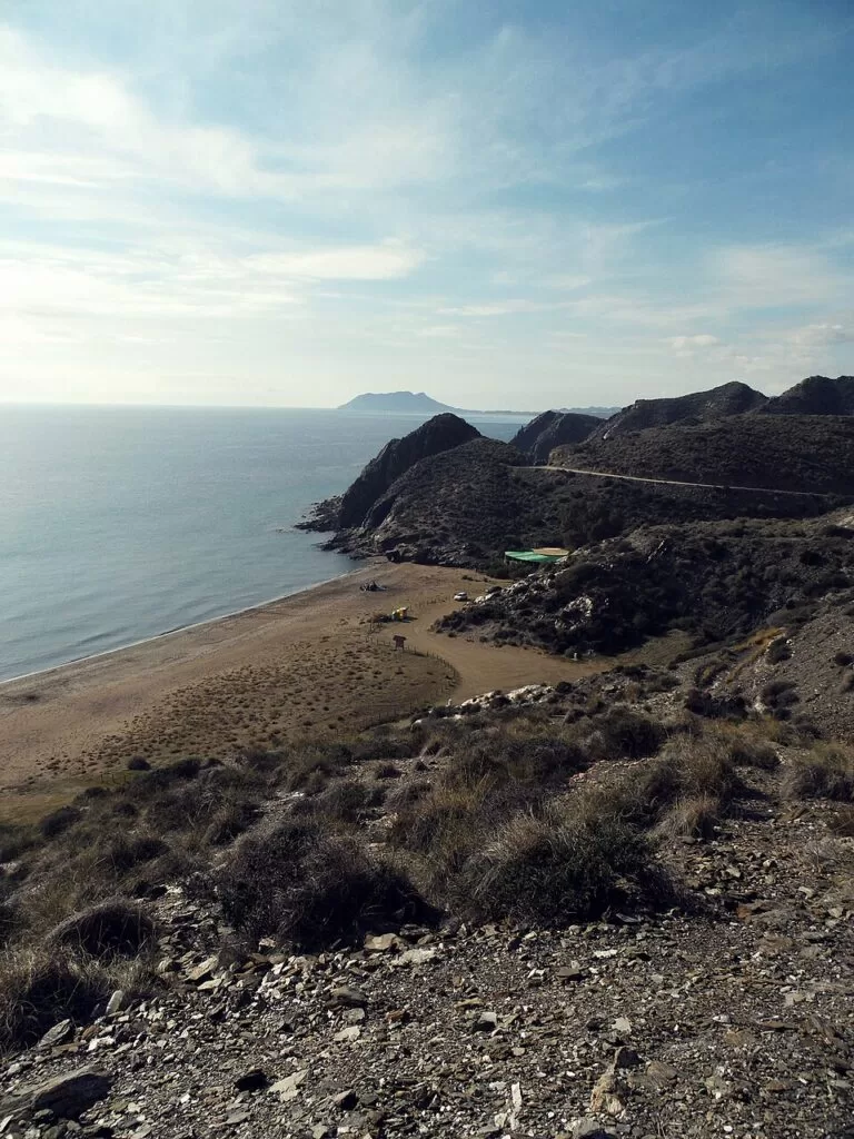
West of the Sierra de las Moreras the coast belongs to Lorca, whose town lies far inland. The regional tourist board describes it as wild and underpopulated, with virgin coves and a handful of beach bars; the only settlement is the fishing hamlet of Puntas de Calnegre, 10.4 km south-west of Bolnuevo. Its 1,100 m beach is semi-urban, with restaurants, toilets and a tourist information point; the coves beyond are reached on tracks, so take food and water (Murcia regional tourism). Most of this shore lies in the Cabo Cope and Puntas de Calnegre regional park. See our new Cabo Cope and Puntas de Calnegre guide and the Lorca town guide.
Calabardina and Cabo Cope
Calabardina, in Águilas, grew around a fishing hamlet and a tuna fishery that no longer exists. Its 450 m beach of fine grey sand is sheltered on the east by Cabo Cope, and the old pier now serves small boats and diving clubs (Murcia regional tourism). On the road to the cape stands the Torre de Cope, ordered by Charles V in 1539, destroyed by Turkish raiders in 1578 and rebuilt in its 18th-century form (Murcia regional tourism). Spain.info names the rocky seabed around the cape among the best dive areas on the Mediterranean coast (spain.info).
Águilas
Águilas is the southernmost town of the Region of Murcia, on 35 km of coast below its castle. Founded as a modern port under Charles III to ship the produce of the Lorca plain, it boomed in the 19th century with silver, lead and iron, a railway and the British-built Hornillo ore pier; at its centre are the Plaza de España and the 19th-century neo-Mudéjar town hall (Murcia regional tourism). The town’s tourism site counts 36 beaches (Águilas tourism), and its carnival is of International Tourist Interest. See our Águilas town guide, the Águilas destination page, the new Castillo de San Juan de las Águilas guide and the Isla del Fraile guide.
Calarreona and the Cuatro Calas
South-west of the town the coast turns wild again before the border with Almería. Calarreona beach is 490 m of grey sand backed by dunes and salt marsh, with a youth hostel on a small headland (Murcia regional tourism). Beyond it lies the Cuatro Calas protected landscape, declared in 1992 and part of the Natura 2000 network, with La Higuerica, La Carolina and Los Cocedores coves; La Carolina has a restaurant, a beach bar and a car park and is busy in summer (Murcia regional tourism). See our Cuatro Calas walk.
Beaches and coves
Town beaches with promenades in Puerto de Mazarrón and Águilas, and small natural coves in between (sizes from the regional beach pages, checked November 2026).
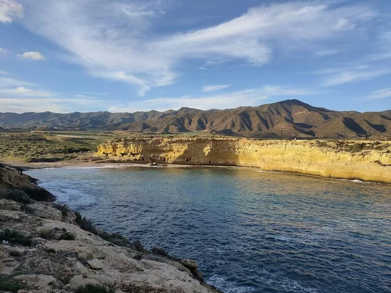
Bolnuevo and the Moreras coves
Bolnuevo beach is 1,600 m with a promenade and beach bars. West of it, below the Sierra de las Moreras, small coves such as Playa Amarilla (110 m) and La Grúa (85 m, nudist) are reached on unpaved tracks.
See the Bolnuevo guide →Calnegre and Cabo Cope
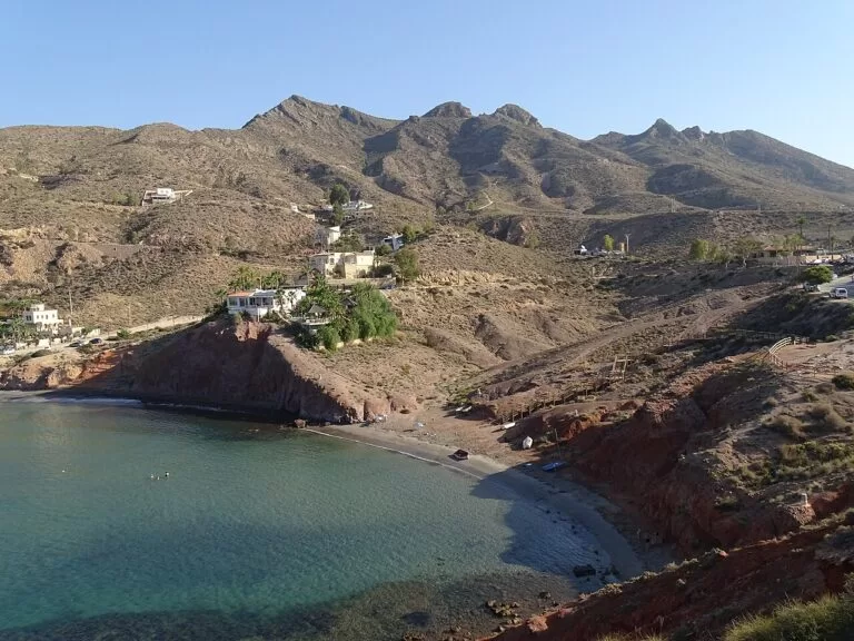
Puntas de Calnegre (1,100 m) and Cala de Calnegre (190 m) have beach bars and first aid; the coves beyond, such as Playa Larga, Los Hierros and Cala Blanca, are reached on dirt tracks.
See the Calnegre guide →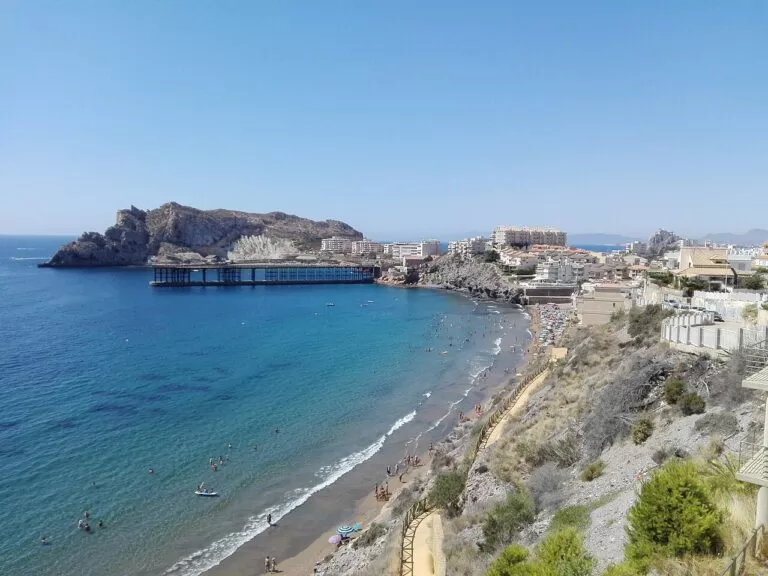
Las Delicias, Poniente and El Hornillo
Las Delicias (1,175 m) has held the Blue Flag since 1992; Poniente runs 1,175 m west of the centre; El Hornillo (500 m) is sheltered by the Isla del Fraile.
See the Águilas guide →- Puerto de Mazarrón: La Isla (600 m, opposite the Phoenician wreck), El Puerto (500 m), Bahía (190 m), La Reya (400 m, used for surfing), Nares (400 m) and El Castellar (1,170 m), all with bus stops on the Mazarrón–Murcia route.
- Calabardina: 450 m of fine grey sand with beachfront restaurants, parking on the road.
- Cuatro Calas: La Carolina (250 m), La Higuerica (200 m) and Los Cocedores, natural coves with parking areas off the road to Vera.
Things to do
Nature: protected coast, diving and whales
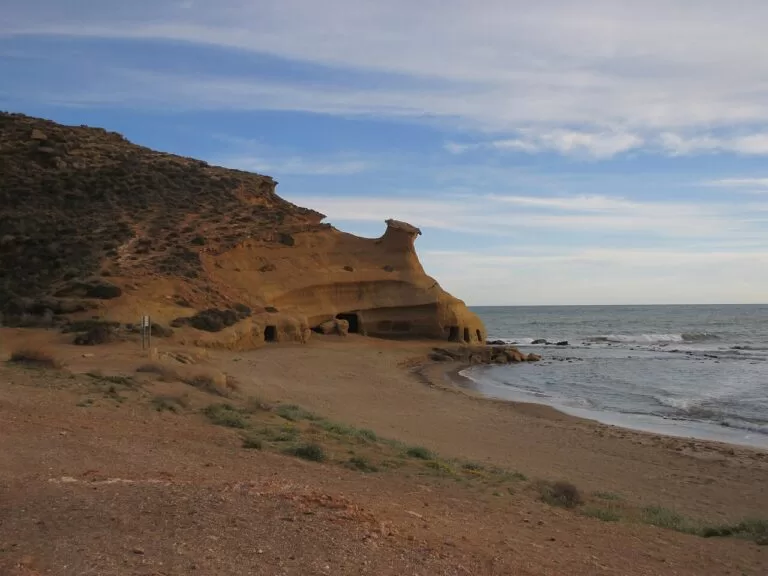
Three protected areas break up the building: the Sierra de las Moreras behind Bolnuevo, a limestone range of about 2,400 ha (Murcia regional tourism); the 1,093 ha Cabo Cope and Calnegre regional park; and the Cuatro Calas south of Águilas. Mazarrón’s diving centres run courses for all levels, and boat trips in the bay look for dolphins, sperm whales and pilot whales from an old schooner (Murcia regional tourism). In Águilas, divers head for the Isla del Fraile, and walkers can follow the GR-92 coastal path from the town to Calarreona (Murcia regional tourism).
History: Phoenicians, Romans, towers and mines
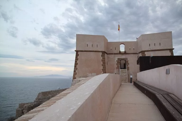
Two Phoenician boats were found off Playa de La Isla, among the oldest known in the Mediterranean; Mazarrón II, 8.10 m long and still loaded with lead ingots, is preserved where it sank. The first was found in 1988 and both were excavated between 1993 and 2000. The interpretation centre and the Roman salting-factory museum in Puerto de Mazarrón are free, open Tuesday to Saturday 09:00–14:00 and 17:00–20:00 and Sunday morning (checked November 2026; Murcia regional tourism). Watchtowers line the coast, from the Torre de los Caballos to the Torre de Cope, and in Águilas the 1756 Castillo de San Juan costs 2 euros. The Hornillo ore pier of 1903 has been closed for restoration since December 2025 (Murcia regional tourism).
Food: rice, red prawns and fish auctions
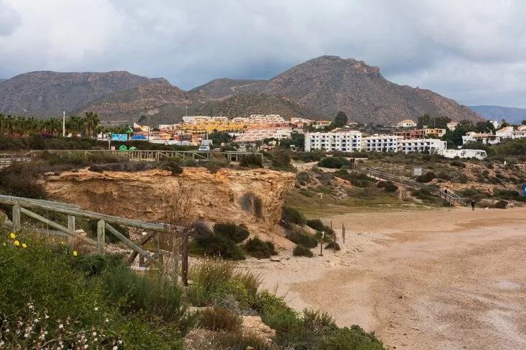
Mazarrón’s tourist board points to rice with clawed lobster, local tomatoes, grouper and sea bream, salted fish and the moraga of grilled sardines. In Águilas the list is red mullet, prawns, tomatoes and capers, onion black pudding, and dishes such as fish broth, ajo colorao, octopus salad and arroz a banda (Murcia regional tourism). To see the catch come in, visit the Lonja in Puerto de Mazarrón on a weekday.
Where to stay by town
The bases we would choose, from north-east to south-west.
Puerto de Mazarrón
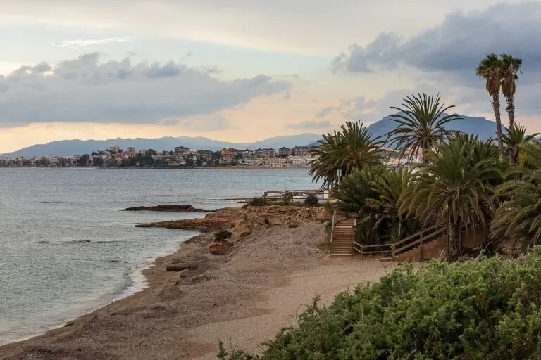
The largest choice of apartments and restaurants, town beaches with promenades, the museums and the marina, and buses to Murcia. Best for families and anyone without a car.
Beaches, port and museumsBolnuevo
A smaller beach village with a long beach, the sandstone erosions and the coves of the Moreras on foot. The regional beach page lists campsites by the beach.
Quiet beach and walksÁguilas
A year-round town, with the castle, the carnival, the train station and beaches on both sides of the headland. Calabardina, 7.7 km east, is the quieter choice for divers.
Town life, train and divingGetting there and around
By air
Región de Murcia airport (RMU) is the nearest: about 29 km from Puerto de Mazarrón and 59 km from Águilas in a straight line (OpenStreetMap). See our Costa Cálida guide for Alicante.
By car
A car is the easy way to reach the coves. The regional road runs from Puerto de Mazarrón to Bolnuevo; the N-332 and the RM-D21 lead to Puntas de Calnegre; the RM-11 links Lorca and Águilas, and the Calabardina road leads to Cabo Cope (Murcia regional tourism beach pages). Águilas and Puerto de Mazarrón are 33 km apart in a straight line.
By train and bus
Águilas has a train station and a bus station on the Paseo de la Estación (Murcia regional tourism). Buses link Puerto de Mazarrón and Bolnuevo with Murcia, and an Alsa bus runs between Cartagena and Mazarrón. We could not confirm timetables; check them before you travel.
A two-day route
By car, north-east to south-west, with a night in Puerto de Mazarrón or Águilas. The museums close on Mondays.
Day 1
Puerto de Mazarrón and Bolnuevo
Start at the Phoenician Boat Interpretation Centre and the Roman salting factory in Puerto de Mazarrón, then swim at La Isla. In the afternoon drive to Bolnuevo for the sandstone erosions and the Tower of the Horses, and end with a walk to the Moreras coves.
Day 2
Calnegre, Cabo Cope and Águilas
Swim early at Calnegre, then cross to the Torre de Cope and Calabardina. In the afternoon climb to the Castillo de San Juan in Águilas, look out over the Hornillo bay and the Isla del Fraile, and finish with dinner in the fishermen’s quarter.
FAQ
Should I stay in Mazarrón or Águilas?
Puerto de Mazarrón has more beaches with promenades and the Phoenician and Roman museums; Águilas is a larger, year-round town with a castle, a train station and the Cuatro Calas coves.
How far is Águilas from Mazarrón?
About 33 km in a straight line from Puerto de Mazarrón to Águilas.
Can you see the Phoenician shipwreck in Mazarrón?
Mazarrón II is preserved underwater off Playa de La Isla. On land, the free Phoenician Boat Interpretation Centre in Puerto de Mazarrón explains both wrecks.
What are the best beaches near Águilas?
Las Delicias for a town beach with the Blue Flag; La Carolina and the other Cuatro Calas coves for natural sand; Calabardina and the Calnegre coves for quiet water and snorkelling.
Is there a train to Águilas?
Yes, Águilas has a train station on the Paseo de la Estación, next to the bus station. We could not confirm the current timetable.
What is the nearest airport to Mazarrón?
Región de Murcia airport (RMU), about 29 km from Puerto de Mazarrón in a straight line.
Other areas of the Costa Cálida
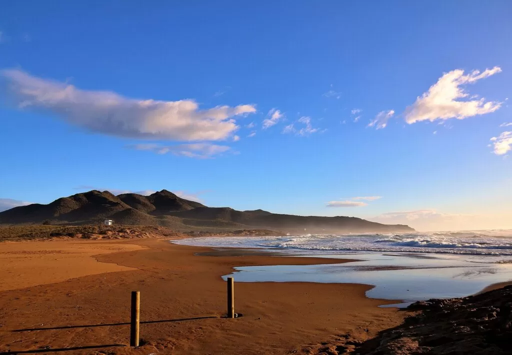
Costa Cálida
The whole Murcia coast from San Pedro del Pinatar to Águilas, with the map and the four areas.
Costa Cálida guide →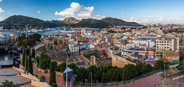
Cartagena and La Unión
The Roman and naval port city, the mining town of La Unión, and Isla Plana and La Azohía next door to the east.
Cartagena guide →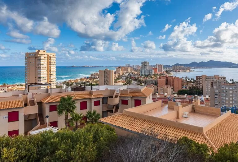
La Manga and Cabo de Palos
The sand bar between the lagoon and the sea, and the lighthouse village by the Islas Hormigas marine reserve.
La Manga guide →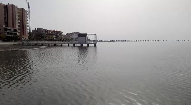
Mar Menor north: San Pedro, San Javier, Los Alcázares
Calm, shallow lagoon beaches and salt flats.
Mar Menor north guide →South of the Cuatro Calas the coast continues into Almería province: see our Costa de Almería guide and Mojácar, about 38 km south-west of Águilas castle.
Sources and freshness
Checked 9 November 2026. Murcia regional tourism (Instituto de Turismo de la Región de Murcia) on Mazarrón, Águilas, Lorca, transport, the Phoenician Boat Interpretation Centre, the Roman salting factory museum, the Tower of the Horses, the castle of Águilas, the Torre de Cope, the Hornillo pier, the natural areas of Bolnuevo, the Sierra de las Moreras, Cabo Cope and Calnegre and the Cuatro Calas, and the beach pages for Bolnuevo, La Isla, El Castellar, Puntas de Calnegre, Calabardina, Las Delicias, La Carolina and Calarreona. Spain.info (Turespaña) on Mazarrón and Águilas. Águilas tourism on history. Map data, stations and straight-line distances: OpenStreetMap (ODbL). The Mazarrón and Lorca town hall sites could not be reached when we checked, so bus timetables and summer opening hours are not given. Photos from Wikimedia Commons: Playa de la Raja and El Mojón, Puerto de Mazarrón, Cartagena from Parque Torres and La Manga from Monte Blanco by Ximonic (Simo Räsänen) (CC BY-SA 4.0); Cala Blanca, Puntas de Calnegre, by Lorenzo Soriano (CC BY-SA 4.0); Playa del Rincón, Bolnuevo, by 19migmas63 (CC BY-SA 4.0); Playa del Hornillo, Águilas, by Mromsan (CC BY-SA 4.0); Los Cocederos, Cuatro Calas, by Mabelcalabuig (CC BY-SA 3.0 es); Castillo de San Juan de las Águilas by Gregorico (CC BY-SA 4.0); Puntas de Calnegre and Cabo Cope by Alesper33 (CC BY-SA 4.0); Playa de Calblanque by José Miguel Grandal (CC BY-SA 4.0); Villananitos, Lo Pagán, by Anidae (CC BY-SA 4.0).