
Benidorm Island (Isla de Benidorm)
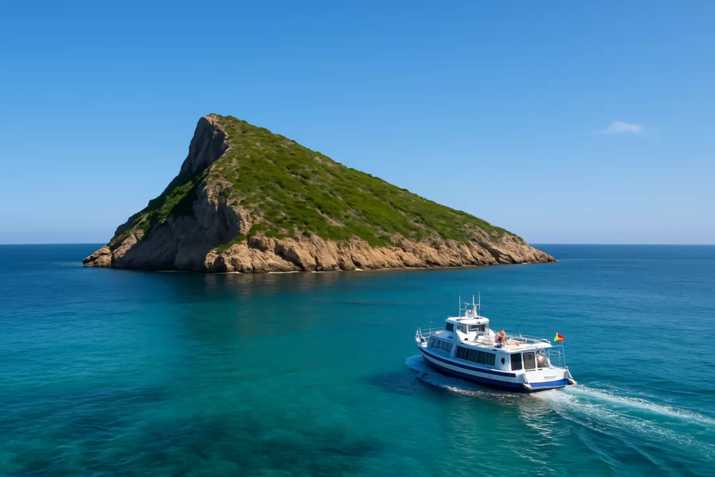
Natural parkBenidorm Island (Illa de Benidorm) is reached only by boat from Benidorm port: the crossing takes about 15 minutes, boats leave roughly every 50 minutes from 10:00, and tickets cost €22 for adults and €14 for children (checked September 2026). The island is small, rocky and uninhabited, with a bar, a short path to the top and a snorkelling route along its south side. It suits swimmers and snorkellers; skip it if you want a sandy beach or shade. Plan on at least two hours.

Quick facts
- Names: Illa de Benidorm (Valencian), Isla de Benidorm or Islote de Benidorm (Spanish), also Isla de los Periodistas. Germans search for it as Insel Benidorm, French visitors as Île de Benidorm.
- Not Isla Mitjana: Mitjana is a different, much smaller islet on the Serra Gelada side, about 6 km to the north-east, and a separate dive site.
- Where: about 3.5 km south of Benidorm port, facing the Levante and Poniente beaches.
- Size: about 7 ha, under 400 m long; the top is about 73 m above the sea.
- Boat: about 15 minutes each way, roughly every 50 minutes from 10:00 until around 16:00. Adults €22, children €14.
- Protected: part of the Serra Gelada Natural Park (2005), and the only one of the park’s four islands that visitors may land on.
- On the island: a bar-restaurant, rocks to swim from, a path of up to 400 m. No sand beach.
Access and parking

By boat: the island boats are run by Excursiones Marítimas Benidorm. Departures are daily from Benidorm port, starting at 10:00 and running until around 16:00, approximately every 50 minutes and subject to availability. The crossing takes about 15 minutes, and the operator sets a minimum stay of 2 hours on the island. Tickets are sold at the port and, from May to October, also at Rincón de Loix. Prices: adults €22, children €14 (operator’s site, checked 29 September 2026; it does not state the age limit for the child fare). Locally the boats are known as golondrinas or passejadores (Serra Gelada Natural Park).
Which boat: the trip runs on the Aquario 2 or the Bahía de Benidorm, depending on availability. Only the Bahía de Benidorm carries the Aquascope for the underwater view; the Aquario 2 is a regular catamaran. If the underwater view matters to you, ask which boat you are booked on.
Parking: the port sits below Benidorm’s old town. The nearest public car parks on OpenStreetMap are a multi-storey about 300 m from the quay, Parking Ruzafa about 540 m away and the underground Parking de l’Aigüera about 640 m away; all charge a fee. If you are staying in Benidorm, walking to the port is usually simpler.
What to expect

This is a rock, not a beach island. Visit Benidorm itself calls it “barren and desolate”, and it has no permanent residents. The boats land at a small jetty; from there a path, 400 m at its longest, climbs to the top for a view back over both Benidorm beaches and the skyline. The park authority describes the same path as leading to the summit.
Snorkelling: Visit Benidorm publishes a snorkel route: follow the island’s profile towards the south with the rock wall on your left until you reach a stone arch, no more than 2 m deep, that you can swim through. Past the buoys the slope steepens to a sandy bottom at around 9 m, which is scuba territory. Along the way expect blennies, octopus hiding in the gaps, and shoals of bream.

Birds: the island is a seabird colony. According to the park’s fauna page, 400–500 pairs of yellow-legged gulls nest here, European storm petrels breed all over the island (mainly in two caves), and shags have bred here since 2009. Expect a lot of gulls; while they are nesting they can dive at people who come close.
Practical details
- Food and drink: the island restaurant serves sandwiches, salads, fruit and soft drinks, according to the operator. Bringing your own water is still wise.
- Toilets: the operator lists a restroom on its boats. We could not confirm public toilets on the island itself.
- Bring: sea shoes for the rocks, a mask and snorkel, sun protection and a hat; the island is bare rock and scrub.
- Time: the minimum stay is 2 hours. Check the time of the last boat back when you land.
- Cost: the boat ticket is the only charge we found.
Accessibility and safety
Swimming is from rocks and a rocky platform, not from a beach, so entering and leaving the water needs care, especially with waves. The snorkel route runs along a rock wall: stay close to it and inside the buoys, away from boat traffic. Boats only sail in suitable sea conditions. The operator says the Aquascope’s deck and viewing area are designed for people of all physical abilities, but we could not confirm step-free access at the island landing or on the path; ask the operator before you book if you use a wheelchair.
Best time to visit
Take one of the first boats after 10:00: you get the most time on the island before it fills up. Visit Benidorm notes that the island is busiest in summer. In the gulls’ nesting season, give nests a wide berth. On rough days the boats may not sail, so keep the trip flexible.
Nearby alternatives
- Benidorm Castle and the Balcó del Mediterrani, 3.4 km away: the old-town lookout above the port, where the boats leave from.
- Tossal de la Cala (Benidorm), 3.7 km away: the hilltop remains of a Roman fort above the far end of Poniente beach.
- Levante Beach (Benidorm), 3.8 km away: the long sandy beach you see from the island’s summit.
- Cala de Finestrat, 4 km away: a sandy cove just south of Benidorm.
- Serra Gelada Natural Park, 9.3 km away (to the park’s centre): the protected cliffs and sea area the island belongs to.
- For where to stay and eat, see our Benidorm town guide.
Distances are in a straight line from the island.
FAQ
How do you get to Benidorm Island?
Only by boat from Benidorm port. Excursiones Marítimas Benidorm sails daily from 10:00 until around 16:00, roughly every 50 minutes, and the crossing takes about 15 minutes.
How much is the boat to Benidorm Island?
€22 for adults and €14 for children, according to the operator’s website, checked in September 2026.
Is Isla Mitjana the same as Benidorm Island?
No. Mitjana is a separate, much smaller islet on the Serra Gelada side, about 6 km north-east of Benidorm Island, and Visit Benidorm lists it as its own dive site. The boats from Benidorm port go to Benidorm Island.
Can you snorkel at Benidorm Island?
Yes. Visit Benidorm’s snorkel route follows the south side of the island to a stone arch no more than 2 m deep; beyond the buoys the bottom drops to about 9 m.
How long should you spend on Benidorm Island?
The operator’s minimum stay is 2 hours, which is enough for the path to the top, a swim and a drink at the bar.
Sources and freshness
Checked 29 September 2026. Operator: Excursiones Marítimas Benidorm, tour to Benidorm Island (times, prices, crossing, minimum stay, restaurant) and fleet (Aquascope, restrooms). Official: Serra Gelada Natural Park, marine area (access, path, boats), fauna (birds) and about the park (2005); Visit Benidorm pages on the island, the snorkel route and dive sites (Isla Mitjana). Height and alternative names: Spanish Wikipedia. Size, distances, landing, car parks: calculated from OpenStreetMap contributors (ODbL). Photos: Wikimedia Commons, licences as credited.
Find Benidorm Island (Isla de Benidorm) on the map
On the map: Illa de Benidorm (coastline) · el Mollet, the landing · island bar-restaurant · Farola de l’Illa lighthouse · Torre Geodèsica survey point · boat quay at Benidorm port · Illeta Mitjana (the other islet).
Nearby on CostaMap: Benidorm Castle and the Balcó del Mediterrani (3.4 km) · Tossal de la Cala (Benidorm) (3.7 km) · Levante Beach (Benidorm) (3.8 km) · Cala de Finestrat (4 km) · Benidorm (4.3 km) · Terra Mítica (Benidorm) (6.8 km) · Serra Gelada Natural Park (9.3 km).
Place type
Area · next level
 Marina Baixa
Benidorm Island (Isla de Benidorm)
A small uninhabited island off Benidorm, reached by a 15-minute boat trip, with a path to the summit and a snorkel route along its south side.
Nearby
Places worth knowing
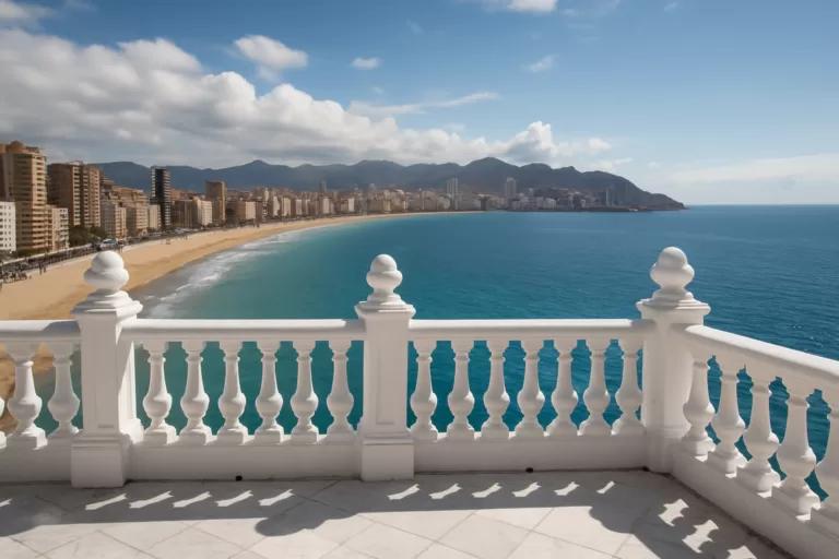 Marina BaixaBalcó de la Mediterrània (Benidorm)Balcó de la Mediterrània is Benidorm’s famous viewpoint with panoramic views over the Mediterranean and town beaches.Read more →
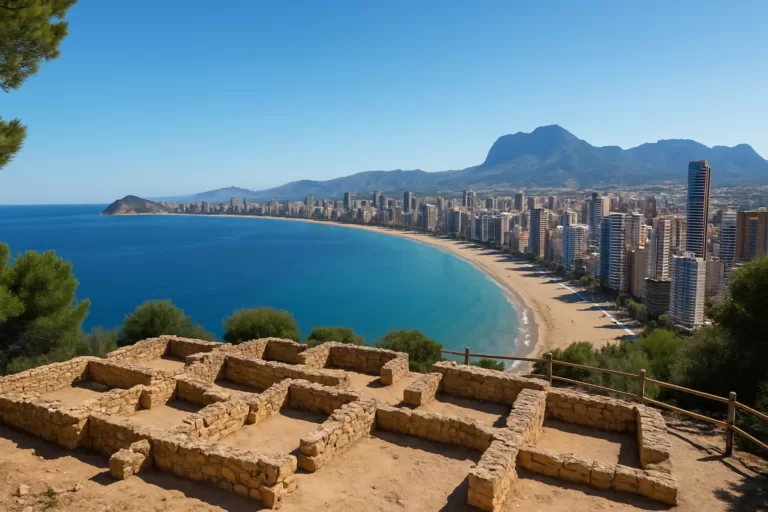 Marina BaixaTossal de la Cala (Benidorm)A Roman fort’s hilltop remains above Benidorm, with panoramic bay views in a spot that stays far quieter than the beaches below.Read more →
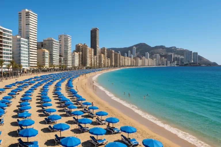 Marina BaixaLevante Beach (Benidorm)Benidorm’s iconic Levante beach: a long crescent of golden sand backed by the famous high-rise skyline, with a buzzing promenade…Read more →
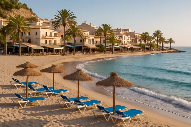 Marina BaixaCala de FinestratCala de Finestrat is a relaxed, sandy cove beach just south of Benidorm, known for its beautiful sunsets.Read more →
This place is part of our Costa Blanca, Spain: towns, beaches and where to stay — see every town, beach and cove we have mapped on that coast.
How this page is maintained. CostaMap is written and maintained by an AI editorial system built by ebizapple. Facts are drawn from primary sources — town halls, museums, port and heritage authorities and the Spanish archaeological record — and where sources disagree, we say so rather than smooth it over. Photographs marked as ours are taken on location. This page was last reviewed on 29 September 2026. Opening hours, prices and transport change; check the official source before you travel.