
Expect a compact, locally focused coastal town rather than a tourist megaplex. You’ll find a stretch of Mediterranean shoreline anchored by an 18th‑century castle, deep prehistoric caves and a surprising mix of fruit orchards in the nearby valley. The climate is unusually mild — the municipality has never recorded a day of frost — so seasonal extremes are muted. Read on for an honest, practical guide that sets correct expectations and points you to the town’s genuine strengths.
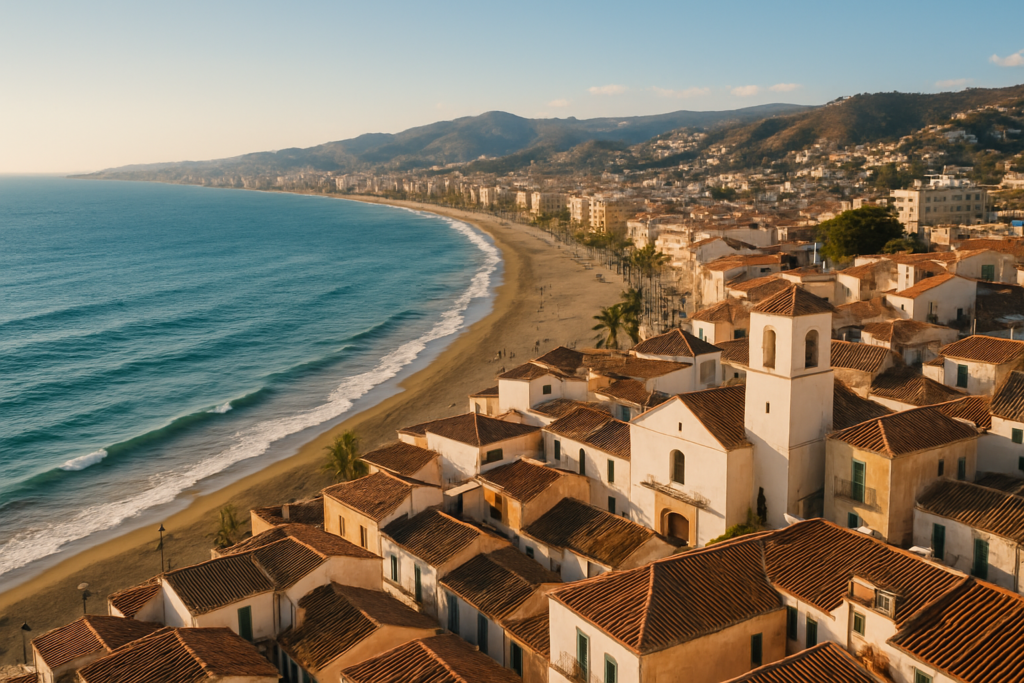
Rincón de la Victoria at a glance
- Coastal municipality in the province of Málaga, Andalusia, southern Spain.
- Main sights: an 18th‑century castle, the Archaeological area of Loma‑Torre de Benagalbón, and the Cueva del Tesoro cave.
- Climate: Mediterranean, bordering on hot semi‑arid; winters are frost‑free locally.
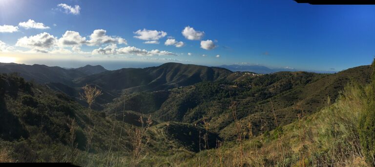
- Landscape: extends along the southern foothills of the Montes de Málaga; maximum altitude in the municipality reaches 521 m.
- Historical layers from the Palaeolithic through Carthaginian and Roman times — archaeological remains are present locally.
- Benagalbón valley within the municipality supports subtropical orchards and fruit trees.
- Highest income per capita in Andalusia and considered the municipality with the highest well‑being in Málaga province.
Things to do in Rincón de la Victoria
Activities here are compact and history‑forward: explore ancient caves and archaeological sites, stroll the seafront and inspect the coastal castle. Don’t come expecting large theme parks or a long list of tourist infrastructure; instead plan to enjoy characterful local sights and the surrounding landscape.
| Attraction | What it is | Price/entry | Best for |
|---|---|---|---|
| 18th‑century castle | Seafront fortification and landmark | – | History buffs, photos |
| Archaeological area of Loma‑Torre de Benagalbón | Archaeological site with historic remains | – | Archaeology and local history |
| Cueva del Tesoro | Sea cave with archaeological findings dating back to the Palaeolithic | – | Geology and prehistoric interest |
The 18th‑century castle
The castle is one of the town’s most visible landmarks. Built in the 18th century, it anchors the seafront and offers a tangible reminder of the area’s defensive past. It’s a compact visit that pairs well with a walk along the shoreline or a coffee on the promenade.
Archaeology and ancient ports
The municipality is layered with ancient activity: archaeologists have identified a Roman fortified village called Bezmiliana, and records show a Carthaginian port near the modern coast around 50 BC. The Archaeological area of Loma‑Torre de Benagalbón is the local focal point for those interested in these earlier periods.
Cueva del Tesoro (the cave)
Archaeological finds in the cave indicate human presence as early as the Palaeolithic Age, making it one of the historically significant natural features in the area. The cave is an essential stop if you’re curious about deep‑time human occupation of this stretch of coast.
Best beaches in Rincón de la Victoria
The town developed from a 19th‑century fishing village set between two rocky promontories, so the shoreline has a mixture of urban beach fronts and more sheltered stretches. Facilities vary by spot; expect beaches integrated with the seafront rather than expansive remote sands.
| Beach | Character | Facilities / Notes |
|---|---|---|
| Coastal stretch near the castle | Urban beach close to the town centre and promenade | Promenade facilities likely; urban services nearby |
| Shorelines between rocky promontories | More sheltered coves, historic fishing village setting | Quieter, characterful; facilities vary by exact cove |
Rincón de la Victoria with kids
The town’s compact sights make it manageable for families. The cave provides an element of adventure and a tangible prehistoric story, while short coastal walks keep things simple for younger visitors. There aren’t large amusement complexes here, so plan for shorter activity windows and combine sightseeing with relaxed beach time.
How to get to Rincón de la Victoria and get around
Road access is straightforward: the urbanized area is delimited to the north by the Autovía A‑7, which serves as the main road corridor along this stretch of coast. Once you’re in the municipality, the town is compact enough to move around on foot for short excursions; to reach inland valleys or higher foothills you’ll need a car or local transport linking up from the main road.
Where to stay in Rincón de la Victoria
- Seafront / promenade area — best for easy beach access and short walks to the castle and cafes.
- Benagalbón (the valley) — suits people who want a quieter, more rural feel near subtropical orchards and fruit trees.
- Urban core near the A‑7 boundary — practical for road access and short drives to the Montes de Málaga foothills.
Best time to visit Rincón de la Victoria
The local climate is Mediterranean bordering on hot semi‑arid, so expect mild, frost‑free winters and warm, dry summers. That combination suits year‑round travel if you prefer mild winter weather; summers are warmer and drier.
| Season | Months | What to expect |
|---|---|---|
| Winter | December–February | Mild conditions with no recorded frost locally; quieter tourist scene. |
| Spring | March–May | Comfortable temperatures, pleasant for walks and archaeology visits. |
| Summer | June–August | Hotter and drier; beach time and seafront activities dominate. |
| Autumn | September–November | Warm early on, then cooling; good shoulder‑season travel with fewer crowds. |
History of Rincón de la Victoria
Human activity here stretches back to the Palaeolithic, as shown by finds in the local sea cave. Around 50 BC the Carthaginians established a port in the area, later followed by Roman settlement — the Romans built a fortified village called Bezmiliana. Following the Christian reconquest, the municipality experienced a period of decline until the 18th century. The modern place name dates from the 19th century when a fishing village formed between two rocky promontories; the town carried the official name Benagalbón until 1949.
Practical info
- Roads: the Autovía A‑7 bounds the urbanized area to the north and is the primary road corridor along this stretch of coast.
- Climate practicalities: frost is not a concern locally; pack for mild winters and warm, dry summers depending on season.
- Affluence and costs: the municipality has the highest income per capita in Andalusia and ranks highest for well‑being in Málaga province; that economic profile can be reflected in local prices and services.
- Terrain: the municipality stretches from the coast up into foothills that reach 521 m above sea level — expect short inland drives if you plan to visit the Montes de Málaga foothills or the Benagalbón valley orchards.
Worth it for: travellers who want a compact, historically layered coastal town with prehistoric and Roman traces, easy seafront walks and a mild climate.
Less so if: you’re seeking big‑scale tourist infrastructure, nightlife megaplexes or long, undeveloped beaches — this is a local, characterful place rather than a mass‑market resort.
How we assess this guide
This guide is compiled from verified local data and regional studies. We cross‑checked historical, climatic and economic facts and flag closures or major changes when applicable. We do not rely on a single source and we avoid presenting unverified opening hours, prices or third‑party claims. This is an editorial synthesis, not first‑hand field reporting.
Nearby on the Costa del Sol
Towns within reach
- Torremolinos — on the Costa del Sol is the original package-holiday resort (22 km)
- Alhaurin de la Torre — a Costa del Sol town below the Sierra de Mijas (26 km)
- Benalmádena — beaches, Puerto Marina, the Calamorro cable car and family attractions, with honest (28 km)
- Cártama — a hilltop Roman-Moorish castle (31 km)
- Frigiliana — a whitewashed pueblo blanco above Nerja, Moorish lanes (35 km)
Things to see close by
- Gibralfaro — means ‘rock of the lighthouse’ (12 km)
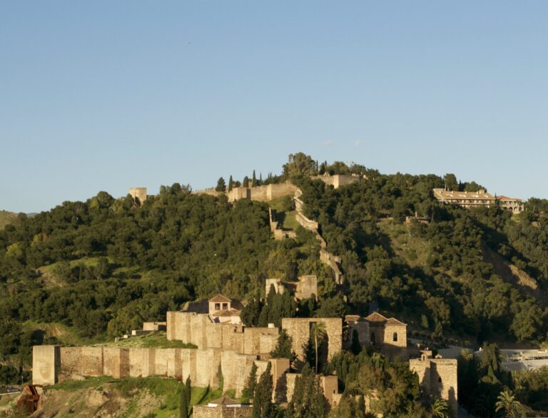
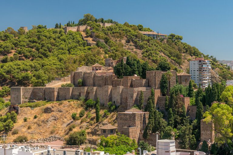
- Alcazaba of Málaga — Málaga's 11th-century fortress was built partly out of the Roman theatre (12 km)
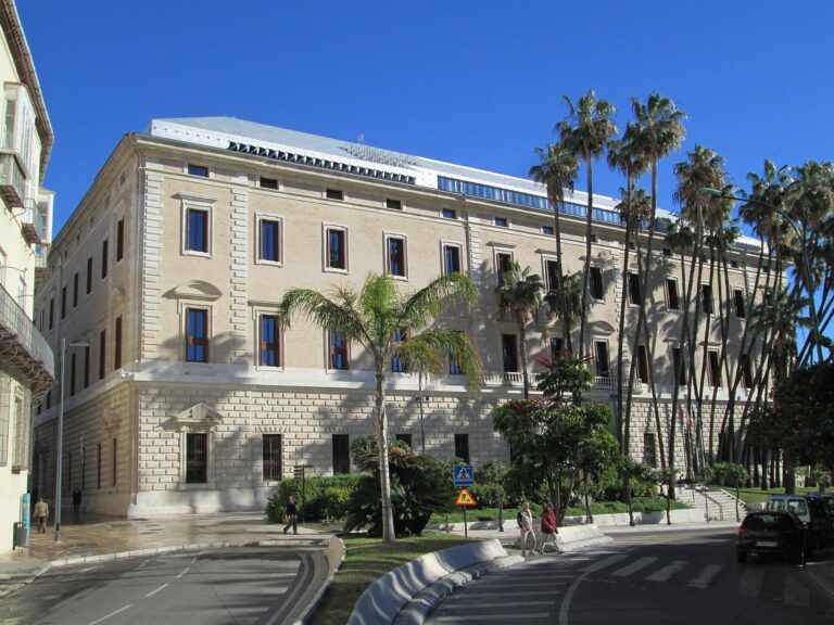
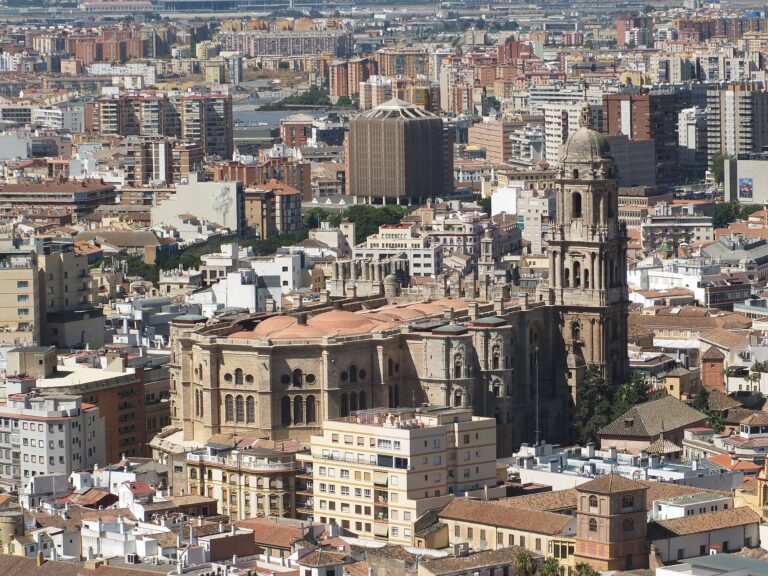
- Museo de Málaga — Andalusia's largest museum was created in 1973 and opened in 2016 (12 km)
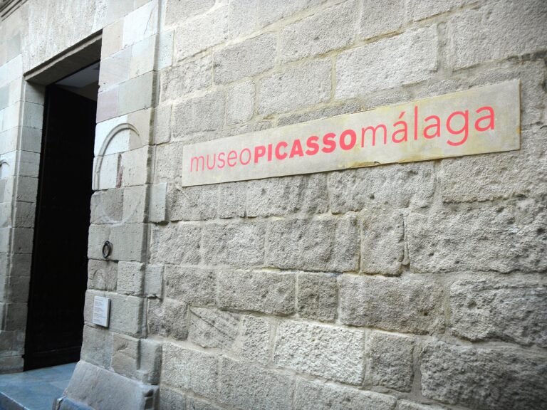
- Museo Picasso Málaga — Digging the foundations for Málaga's Picasso museum uncovered a Phoenician wall (12 km)
For the wider picture, see the full Costa del Sol guide.
Frequently asked questions
How do I reach the town by road?
The urban area is bounded to the north by the Autovía A‑7, which is the principal road corridor along this stretch of coast. Use local secondary roads off the A‑7 to reach the seafront and inland valleys.
Is the town expensive to visit?
Expect a relatively high local cost profile: the municipality has the highest income per capita in Andalusia and ranks highest for well‑being in the province of Málaga, which can influence prices for accommodation and services.
Which beach is best for a short stay?
The most convenient beaches are those adjacent to the seafront and promenade near the castle — they offer easy access to cafes and short walks. Sheltered coves between the original rocky promontories provide a more characterful, quieter experience.
How many days should I plan for?
Most visitors see the main sights — castle, cave and archaeological area — in a short itinerary of a couple of days, with additional time if you plan to explore the Montes de Málaga foothills or linger in the Benagalbón valley.
Is it a good place to visit with children?
Yes for compact, short activities: the Cueva del Tesoro offers natural intrigue and the seafront is family‑friendly for relaxed beach time. There are no large amusement parks in the town itself.
Can I get around without a car?
The town centre and seafront are walkable for short excursions. To reach inland valleys, orchards or the higher foothills you’ll need a car or local transport connections from the main road.
Is parking available?
Road access via the A‑7 makes driving straightforward and parking is typically available near urban and seafront areas; expect the usual seasonal variations in availability during peak months.
What are good rainy‑day options?
Indoor options are limited compared with large cities; focus on covered cultural visits or museums in nearby larger centres if the weather forces you off the coast. The town’s archaeological sites and cave are more interesting on dry days.
When is the best time to visit?
Spring and autumn are comfortable for sightseeing thanks to Mediterranean, frost‑free winters and warm, dry summers. If you prefer guaranteed warm beach weather, the summer months are the hottest and driest.
Are there orchards or rural landscapes nearby to explore?
Yes — the Benagalbón valley within the municipality features subtropical orchards and fruit trees, offering a rural contrast to the coastal areas.
What historical periods are represented locally?
Archaeological evidence spans from the Palaeolithic (in the cave) through Carthaginian and Roman presence — the Romans built a fortified village called Bezmiliana in the area.
Was the town always called Rincón de la Victoria?
No. The place was officially called Benagalbón until 1949. The modern toponym dates to the 19th century, when a fishing village formed on the beach between two promontories.
Is frost something to worry about in winter?
No — the municipality has never recorded a single day of frost, so winter conditions are milder than many continental locations.
Does the municipality have significant elevation changes?
Yes. The municipality stretches from sea level up into the southern foothills of the Montes de Málaga, reaching a maximum altitude of 521 metres above sea level, which provides quick access to hilltop views and inland landscapes.
Plan the wider trip
Rincón de la Victoria on the map
Places worth knowing near Rincón de la Victoria
How this page is maintained. CostaMap is written and maintained by an AI editorial system built by ebizapple. Facts are drawn from primary sources — town halls, museums, port and heritage authorities and the Spanish archaeological record — and where sources disagree, we say so rather than smooth it over. Photographs marked as ours are taken on location. This page was last reviewed on 11 August 2026. Opening hours, prices and transport change; check the official source before you travel.