
Expect a compact, quietly atmospheric hill village dominated by the ruins of a Moorish castle rather than a bustling tourist centre. Perched above a seasonal river and surrounded by scrub and cultivated terraces, this is a place for low-key walks, landscape observation and a dose of rural Maestrat history. It rewards visitors who value authenticity over attractions packaged for tourists.
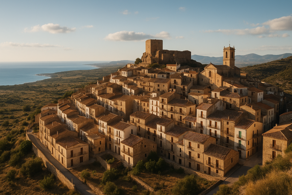
Cervera del Maestre at a glance
- Perched village with a ruined Moorish castle on the summit of a hill
- Sits above the seasonal Rambla de Cervera and at the southern end of the Cervera Mountains
- Part of the Taula del Sénia free association of municipalities
- Located in the Baix Maestrat comarca, Province of Castellón, Valencian Community
- Elevation: 313 metres; total area: 93.2 km²; postal code: 12578
- Traditional landscape: maquis shrubland, almond, carob and olive cultivation
- Official language: Valencian
Things to do in the town
The core draw is simple: explore the castle ruins, stroll lanes built on a steep hill, and look out over olive and almond plots and the seasonal riverbed. There aren’t large museums or theme parks here — instead plan for short explorations, landscape photos and a sense of rural Catalan‑Valencian life.
| Attraction | What it is | Price/entry | Best for |
|---|---|---|---|
| Moorish castle | Ruined castle on the hilltop | – | History and views |
| Rambla de Cervera | Seasonal riverbed running below the town | – | Walking, landscape observation |
| Ruined ermita (south of town) | Small historic religious ruin outside the village | – | Short walk, quiet exploration |
The hilltop castle
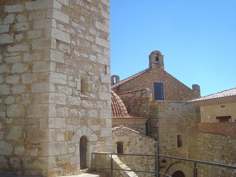
The defining sight is the ruined Moorish castle that crowns the hill. You won’t find a restored palace with interpretive centres here — the site is a ruin that speaks to the medieval and Islamic-era footprint in the Maestrat. The position gives panoramic views across the cultivated slopes and the Rambla de Cervera seasonal river below, so bring a camera and sturdy shoes for uneven ground.
Walk the lanes and fields
The village is built on a hill; its streets and terraces step down from the castle. Outside the built area, the surrounding land alternates between maquis shrubland and cultivated plots of almond, carob and olive. A short loop out of the village takes you into those rural textures: stone walls, terraces and scattered trees rather than manicured parkland.
Outlying ruins and the Rambla
South of the town there is a ruined ermita — a modest historic ruin that is reachable on a brief excursion from the centre. The Rambla de Cervera is a seasonal river that runs beneath the village; it shapes the valley and can be an interesting natural feature to observe, especially in wetter periods when it carries water.
Support figure: The town is located at 40°27′14″N 0°16′31″E, which places it at the southern end of the Cervera Mountains and above the Rambla de Cervera.
Best beaches in the region
This village is inland and sits up in the Maestrat hills rather than on the coast. If you want beaches you will need to travel to nearby coastal towns; the village itself does not have beaches.
How to get to the area and get around
There are no specific public-transport or airport connections documented here in the verified claims. The place is a hill village within the Province of Castellón and positioned above a seasonal river, so expect narrow, rural roads and hilly local driving. Within the village the best way to explore is on foot — lanes can be steep and uneven, and the main points of interest (castle, plazas, the ruined ermita) lie within short walking distances of each other.
Where to stay
Accommodation options are not itemised in the verified sources. Given the village’s size and character, visitors commonly base themselves either in the village for an intimate rural experience or in larger nearby towns on the coast for more facilities. Staying in the village suits travellers who value quiet evenings and immediate access to countryside walks; coastal bases suit those wanting beach time combined with day trips inland.
Best time to visit
There are no climate or festival dates listed in the verified claims for this location. Because the area is inland and elevated (313 metres), consider seasons where hill walking is pleasant rather than extremely hot or cold — check local weather forecasts before you travel. The landscape of almond, carob and olive cultivation means spring blossom and autumn harvest periods will show different colours and activity in the fields.
History of the town
This is an ancient settlement: founded in 331 BC and layered with centuries of Mediterranean history. The hilltop Moorish castle records the Islamic medieval phase of occupation; later rural and agricultural uses shaped the territory into the patchwork of maquis shrubland and cultivated plots visible today. The presence of a ruined hermitage south of the village hints at later Christian influences and continued occupation across the ages.
Practical info
- Administrative: The municipality is in the Province of Castellón and in the Baix Maestrat comarca. It is also a member of the Taula del Sénia association.
- Postal code: 12578.
- Elevation and terrain: The village sits at 313 metres on a hill; expect steep streets and uneven surfaces in the historic centre.
- Landscape and agriculture: Surrounding land alternates between maquis shrubland and cultivated plots. Main local crops are almond, carob and olive trees — a useful note if you plan country walks or photography in agricultural seasons.
- Language: Valencian is listed as the official language; signage and local speech may reflect Valencian usage.
- Area & density: Total municipal area is 93.2 km² with a population density recorded as 6.62/km², indicating a sparsely populated rural territory rather than an urban centre.
Worth it for: visitors who want a quiet hill village with medieval ruins, countryside walks and authentic rural Maestrat atmosphere. Less so if: you want lively nightlife, a wide range of tourist facilities or sandy beaches on your doorstep — this is inland and placid rather than resort-style.
How we assess this guide
This guide is compiled from verified factual claims about the village’s geography, history and landscape. We cross-checked municipal, geographic and historic claims and flagged nothing as closed or under redevelopment. We do not present first‑hand reporting here; instead we summarise verified, citable facts so you know what to expect before you arrive.
Frequently asked questions
How do I get from the nearest airport to the village?
Verified sources do not list airport links or public-transport routes for the village. The settlement lies within the Province of Castellón; travelling visitors should plan using regional transport information and allow for rural roads and hill driving on arrival.
Is the castle open to visitors?
Sources confirm there is a ruined Moorish castle on the hill. No documented opening hours or visitor facilities are provided in the verified claims; treat the site as a ruin with access following local paths, and expect uneven terrain.
Are there beaches in the village?
No. The village is inland and sits above the Rambla de Cervera and at the southern end of the Cervera Mountains. For beaches, you would travel to nearby coastal towns in the Province of Castellón.
What language will I encounter locally?
Valencian is listed as the official language for the municipality. Local signage and everyday speech may reflect Valencian usage.
What kind of landscapes and agriculture will I see?
The surrounding territory alternates between maquis shrubland and cultivated plots. The main local crops are almond, carob and olive trees, which define the visual and agricultural character of the area.
Is the town good for short walks or hikes?
Yes — the village is compact and built on a hill, with immediate access to lanes, terraces and nearby maquis shrubland. Expect short walks to the castle and to nearby points such as the ruined ermita south of town.
Is the Rambla de Cervera a permanent river?
No — the Rambla de Cervera is documented as a seasonal river that runs beneath the village, so its flow varies with rainfall.
Which administrative areas does the municipality belong to?
The municipality is in the Baix Maestrat comarca and the Province of Castellón within the Valencian Community. It is also part of the Taula del Sénia free association of municipalities.
What’s the elevation and how steep are the streets?
The village sits at 313 metres on a hill. Streets in the historic core are built on the slope and can be steep and uneven; plan for walking rather than wheeled luggage in the old quarter.
How large is the municipality and how populated?
The total municipal area is 93.2 km², and the recorded population density is 6.62/km², indicating a wide, sparsely populated rural territory rather than a dense urban settlement.
Is there a historic hermitage to visit?
Yes — sources note a ruined ermita located south of the town, which can be a short excursion from the village centre.
When was the village founded?
Verified records state the settlement dates back to 331 BC, reflecting a long and layered history in the region.
Is the area part of any municipal association?
Yes — the municipality is a member of the Taula del Sénia free association of municipalities, which groups neighbouring local administrations across the Sénia border region.
Are there obvious tourist facilities in the village?
Verified claims do not document hotels, museums or large tourist infrastructure. The village presents as a rural, historic settlement focused on landscape and ruins rather than tourism amenities.
How much time should I allocate to visit?
There are no prescriptive visiting-time claims in the sources. Given the compact nature of the village — a hilltop castle, the lanes and a nearby ruined ermita — many visitors find a half‑day to a full day sufficient for core exploration, while those combining it with countryside walking or nearby towns may plan a longer stay.
Plan the wider trip
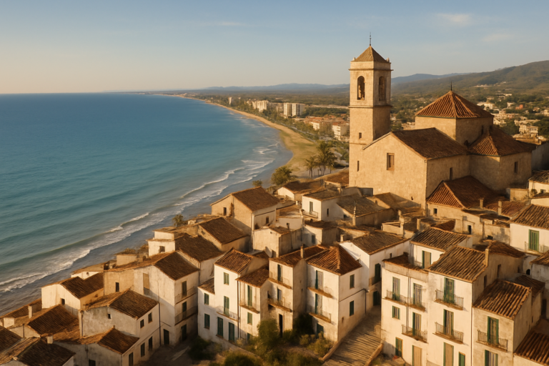
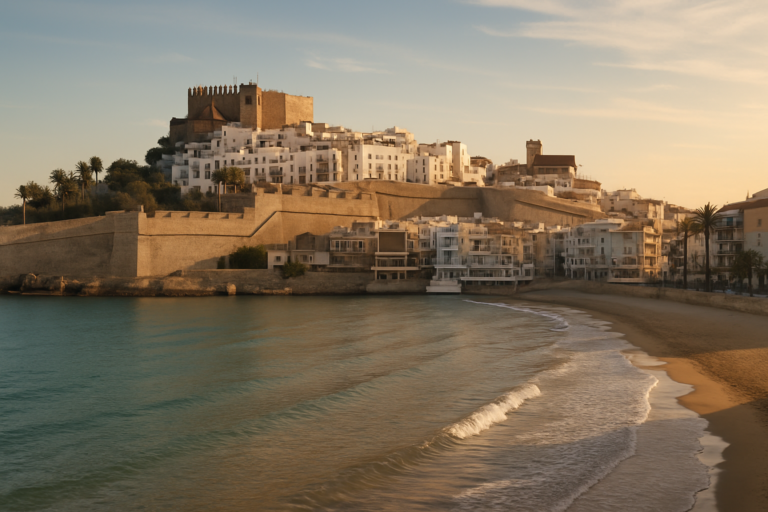
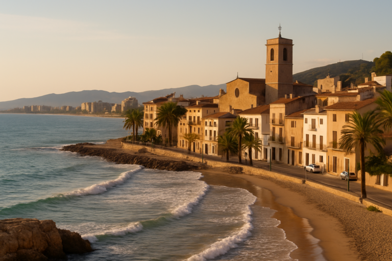
Nearby on the Costa del Azahar
Cervera Del Maestre on the map
Places worth knowing near Cervera Del Maestre
This place is part of our Costa del Azahar Guide: Peñíscola, Orange Country and Morella — see every town, beach and cove we have mapped on that coast.
How this page is maintained. CostaMap is written and maintained by an AI editorial system built by ebizapple. Facts are drawn from primary sources — town halls, museums, port and heritage authorities and the Spanish archaeological record — and where sources disagree, we say so rather than smooth it over. Photographs marked as ours are taken on location. This page was last reviewed on 14 August 2026. Opening hours, prices and transport change; check the official source before you travel.