
Balearic Islands · Formentera
Formentera travel guide: La Savina, Sant Francesc, Es Pujols and La Mola
The smallest and southernmost Balearic island: white-sand beaches in the Ses Salines natural park, flat green routes for bikes, fishing hamlets and the cliffs of La Mola.
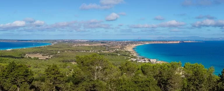
Formentera from the Mirador on the road to La Mola · Photo: Fabian Hurst, CC BY-SA 4.0
Part of the Balearic Islands guide · Formentera
Formentera is the smallest and southernmost of the Balearic Islands, just south of Ibiza: about 83 km² and some 20 km from end to end, with no airport, so everyone arrives by ferry at the port of La Savina, about 30 minutes from Ibiza (Formentera tourist board). The island runs from the Ses Salines natural park and the Es Trucadors sandspit in the north, through the small capital Sant Francesc and the resort of Es Pujols, to the high plateau of La Mola in the east and Cap de Barbaria in the south. This guide covers each part of the island, the beaches, what to do, where to base yourself, how to get there and a two-day route.
At a glance
- Where the whole island, from the tip of Es Trucadors facing S’Espalmador in the north to the lighthouses of Cap de Barbaria in the south and La Mola in the east.
- Towns La Savina, Sant Francesc Xavier, Sant Ferran de ses Roques, Es Pujols, Es Caló de Sant Agustí and El Pilar de la Mola.
- Best for shallow, clear-water beaches, cycling on 32 signed green routes, sunsets over Es Vedrà and a slow pace.
- Getting there fly to Ibiza, then take a ferry from the port of Ibiza to La Savina, about 30 minutes, with frequent sailings all year; in season there is also a direct boat to the mainland.
- On CostaMap guides to the island, Ses Illetes, S’Espalmador, Es Pujols, Migjorn beach, Cala Saona and the lighthouses of La Mola and Cap de Barbaria.
Map of Formentera
The map shows the places on Formentera that have a CostaMap page. Tick a place type to filter, and click a marker to see the place in the panel.
Place type
Area · next level
 Area map
Formentera
Click a marker to see the place here. From La Savina and Ses Illetes to Es Pujols, Migjorn, Cala Saona and the lighthouses of Cap de Barbaria and La Mola.
Towns and villagesTowns and villages
From the port in the north-west to La Mola in the east, following the Formentera tourist board’s own village pages. The island is a single municipality; our Formentera town guide and our island guide give the overview.
La Savina
La Savina is the port, and so the first and last place every visitor sees. It was built at the end of the 19th and the start of the 20th century as a shelter for boats moored in the Estany des Peix lagoon, then became the point from which the island’s salt was exported. Today it has a renovated maritime station where you can buy tickets, a large marina and a promenade lined with vehicle hire, bars and restaurants. A small hippy market opens every afternoon, and a bike route to the natural park starts from the old dyke at the south-eastern end of the harbour (Formentera tourist board). The tourist office is inside the maritime station.
Ses Salines and Es Trucadors
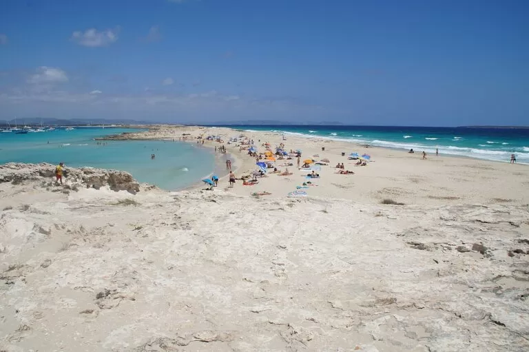
The north of the island, between La Savina, Es Pujols and the tip of Es Trucadors, lies in the Ses Salines d’Eivissa i Formentera natural park. About 85% of the park is sea, mostly Posidonia seagrass meadows listed by UNESCO in 1999, and some 210 bird species have been counted; the Estany Pudent lagoon holds one of Europe’s largest gatherings of black-necked grebes (Government of the Balearic Islands). Here are the island’s most famous beaches: Ses Illetes on the west side of Es Trucadors, Llevant on the east side, and Cavall d’en Borràs, only 2 km from the port. Cars and motorbikes pay a small fee to enter; walkers and cyclists go in free. Across a 50 m channel that you must not wade lies S’Espalmador.
Sant Francesc Xavier
Sant Francesc is the capital, 3 km south of the port, with the Island Council and the tourist office on the Plaça de la Constitució. Its parish church, completed in 1738, was built as a fortress as well as a church, when the memory of pirate raids was still fresh. Nearby are the 13th- or 14th-century chapel of Sa Tanca Vella and the Formentera Ethnographic Collection. The central streets are full of small boutiques, and from May to October craft stalls set up in the streets; on Tuesday and Saturday mornings there is a flea market behind the church. On the edge of town, the 19th-century Molí d’en Jeroni windmill gives a view over the Estany des Peix, La Savina, Ibiza and Es Vedrà (Formentera tourist board).
Cala Saona and Cap de Barbaria
South-west of Sant Francesc the island becomes dry and rocky. Cala Saona is the only sandy beach on the cliff-lined west coast: about 140 m of sand between red rocks and old boathouses, with a car park at the end of the road and some of the island’s best sunsets (Formentera tourist board). Further south the road ends at the Cap de Barbaria lighthouse, on a cliff at the island’s southern tip, with Bronze Age settlements and the Torre des Garroveret watchtower nearby. Both are reached by signed green routes from Sant Francesc and La Savina.
Sant Ferran de ses Roques
Sant Ferran sits on the main road, 2.6 km east of Sant Francesc, with a small historic centre of church, square and renovated pedestrian streets. In the 1970s it was the meeting point for hippies and bohemians at the Fonda Pepe, which is still open. Its church of 1889 is the smallest of the island’s three parish churches. In summer there are craft and art markets every evening except Wednesday and Sunday, from 9 pm to midnight, and live music in the square on Fridays from May to October. Within reach are the Punta Prima tower, the rock-cut boat sheds of Cala en Baster and two old windmills (Formentera tourist board).
Es Pujols
Es Pujols is the island’s resort, reached along the road beside the Estany Pudent or by turning north at Sant Ferran. The tourist board says plainly that tourism drives it: the widest choice of hotels, restaurants with sea-view terraces, bars, a small discotheque and summer fashion shops (Formentera tourist board). Its beach is 690 m of white sand in front of the promenade, with boathouses on the rocks, and it is one of the two beaches on the island adapted for people with reduced mobility. On summer evenings a market of more than 40 stalls takes over the seafront. The megalithic tomb of Ca na Costa, from around 2000 BC and the oldest megalith in the Balearics, is about 750 m away.
Migjorn: the south coast
Migjorn, “south”, is the name of the island’s south coast and of its longest beach, about 5 km of coves with sand and rock between Es Mal Pas and Es Copinar (Formentera tourist board). It is reached by many turnings off the main road after Sant Ferran. Hotels, apartments, seafood restaurants and beach bars line it. Es Ca Marí, Es Arenals and Es Copinar are the best stretches for swimming; Es Arenals, with lifeguards and free parking, is the second adapted beach. The Torre des Pi des Català, a watchtower of 1762–1763 by the beach, is the only one on the island you can go inside. See our Migjorn beach guide.
Es Caló de Sant Agustí
Es Caló is a small fishing hamlet on the north coast below La Mola. Its natural harbour is ringed by wooden boathouses and boat ramps, declared a site of cultural interest in 2002, and the tourist board recommends its traditional fish restaurants. West of the harbour, Ses Platgetes are three small sandy beaches, about 600 m together, divided by rock and looking up at the cliffs of La Mola. From here the Camí de sa Pujada, the old cobbled path used before the road was built, climbs 4 km to La Mola (Formentera tourist board). The late Roman fort of Can Blai stands beside the main road, about 1.6 km away.
La Mola and El Pilar de la Mola
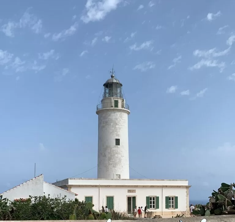
La Mola is the plateau at the east end of the island, more than 100 m up behind cliffs, reaching 192 m. El Pilar de la Mola, the most isolated village on Formentera, has an 18th-century church, vineyards behind dry stone walls and a craft market on Wednesday and Sunday afternoons from May to October (Formentera tourist board). The Molí Vell, an 18th-century windmill dated 1778 on its machinery, is free to visit. A few kilometres on, the road ends at the Far de la Mola lighthouse and a monument to Jules Verne, who set part of his novel Hector Servadac here.
Beaches and coves
The tourist board lists sixteen beaches and bathing spots. Beyond those in the towns above:
- Ses Illetes and Llevant: the two sides of Es Trucadors; Llevant is 1,450 m of sand almost without buildings, in places only 50 m from Ses Illetes (Formentera tourist board).
- Cavall d’en Borràs: the first beach inside the park, 2 km from the port, facing Es Vedrà for sunsets (Formentera tourist board).
- Ses Canyes and Sa Roqueta: quiet beaches with dunes beside Es Pujols; Ses Canyes is calm behind its reef.
- Caló des Mort: a tiny cove at the east end of Migjorn, reached only on foot along a cliff path with a risk of rockfalls (Formentera tourist board).
- The old quarries: sandstone quarries at Punta de sa Pedrera near La Savina, now shallow pools for snorkelling, with rocky access unsuited to small children (Formentera tourist board).
Things to do
Nature
Walk or cycle the 32 green routes, more than 100 km of signed trails (Formentera tourist board). The natural park’s visitor centre is at Can Marroig near La Savina, reached on foot or by bike from the picnic-area car park; a 2.1 km route continues to the Torre de sa Gavina on the westernmost point. Watch flamingos and black-necked grebes at the Sa Sèquia nursery by the Estany Pudent, best early in the morning.
History
See the tomb of Ca na Costa, the Bronze Age sites of Cap de Barbaria and the late Roman fort of Can Blai, never finished. The island was almost empty from the 14th to the 17th century, because of plague and pirate raids, and was resettled from 1697; the fortified churches and the watchtowers date from then (Formentera tourist board).
Food and markets
The island’s signature product is peix sec, fish dried in the sun and wind, which goes into the ensalada payesa with potato and pepper. Try also bullit de peix, a fish stew, and flaó, a fresh-cheese tart with mint. Two wineries, Terramoll and Cap de Barbaria, make wine from local vines, and in May and October the island holds gastronomic weekends with special menus (Formentera tourist board).
Where to stay by town
Es Pujols
The widest choice of hotels and apartments on the island, beach services and evening life; the base if you will not have a car.
Migjorn and Es Arenals
Apartments, hotels and small family-run places along the south coast, close to the sand and sheltered from the summer wind.
La Savina and Sant Francesc
La Savina has hotels by the port and all the hire firms; Sant Francesc suits those who want shops and the island’s services rather than a beach.
Es Caló and La Mola
The quietest choice, with a fishing harbour, fish restaurants and the plateau’s walks; you will need a bike, a scooter or the bus for the beaches.
Getting there and around
By boat
Formentera has no airport. Ferries leave the port of Ibiza and reach La Savina in about 30 minutes, with frequent sailings all year; in season there is also a direct connection with the mainland. Bad weather can occasionally interrupt services, mostly in winter (Formentera tourist board).
By air
Fly to Ibiza Airport, then take the ferry from the port of Ibiza (Formentera tourist board). Flights are in the Balearic Islands guide.
On the island
Distances are short and the land is flat, so the bike and the public bus are the recommended ways to get around, with the bus for longer trips such as the climb to La Mola (Formentera tourist board). In high season, vehicle access to the island is regulated; check the current rules before bringing or hiring a car.
A two-day route
By bike and bus, or by scooter. Day 1 stays in the west and north; day 2 goes east, about 16 km in a straight line from La Savina to the Far de la Mola.
Day 1
Ses Illetes, Sant Francesc and Cala Saona
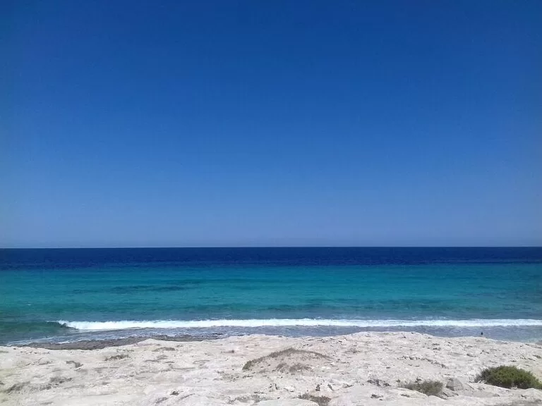
Ride the 3.3 km green route from La Savina past the salt pans to Ses Illetes and swim early, then walk north along Es Trucadors. In the afternoon see Sant Francesc and its fortified church, then take the 3.7 km route through Ses Bardetes to Cala Saona for the sunset from the viewpoint.
Day 2
Migjorn, Es Caló and La Mola
Go east by bus or scooter. Swim at Es Arenals, stop at Can Blai and lunch by the harbour at Es Caló. Walk up the Camí de sa Pujada (4 km, rated hard) or take the road to El Pilar for the Molí Vell and, on Wednesday or Sunday from May to October, the craft market; finish at the Far de la Mola. Have dinner in Es Pujols.
FAQ
How do you get to Formentera?
Only by boat. Fly to Ibiza, then take a ferry from the port of Ibiza to La Savina; the crossing takes about 30 minutes and runs all year. In season there is also a direct boat from the mainland.
Where is the best place to stay on Formentera?
Es Pujols has the most hotels, restaurants and evening life; Migjorn suits families who want to be on the beach; Es Caló and La Mola are the quietest. Sant Francesc and La Savina are central for getting around.
Do you need a car on Formentera?
No. The island is flat and about 20 km long, with 32 signed green routes and a public bus for longer trips such as La Mola. Vehicle access is regulated in high season, so check the rules before you bring or hire one.
What is the most beautiful beach on Formentera?
Ses Illetes is the most famous, with Llevant on the other side of the same spit. Cala Saona is the choice for sunsets, and Migjorn for long, quieter stretches of sand.
Is Formentera good for families?
Yes. Ses Illetes, Migjorn and Ses Canyes have calm, shallow water, and Es Pujols and Es Arenals are adapted beaches with lifeguards. Shade on the sand is scarce, so bring a parasol.
Other areas of the Balearic Islands
Balearic Islands
Mallorca, Menorca, Ibiza and Formentera, with the map, flights and ferries, weather and itineraries.
Balearic Islands guide →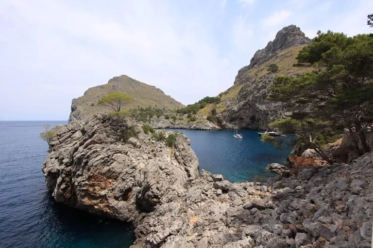
Mallorca
Palma, the Serra de Tramuntana and the GR 221, the caves of the east and the long sandy beaches of the south.
Mallorca guide →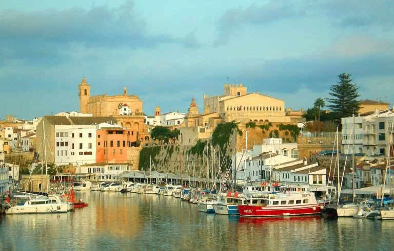
Menorca
Maó and Ciutadella, the coves of the south coast, Talayotic sites and the Camí de Cavalls.
Menorca guide →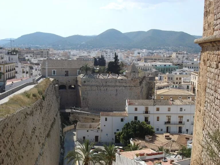
Ibiza
Dalt Vila, the coves of Sant Josep and Sant Antoni, and the port where the Formentera ferries leave.
Ibiza guide →Sources and freshness
Checked 9 November 2026. Formentera tourist board (Consell Insular de Formentera): where it is and when to go, history, gastronomy, transport, the villages, the beaches, the green routes and heritage (each page linked in the text). Government of the Balearic Islands on the Ses Salines natural park. Spain.info on Formentera. Map data and straight-line distances: OpenStreetMap. Not confirmed: ferry companies, fares and timetables, bus lines, the 2026 vehicle-access rules and market dates. The tourist board gives 1738 for Sant Francesc church on its village page and 1726 on its history page; we use 1738.
Every place we have mapped on the Formentera
8 towns, beaches, coves and landmarks, kept up to date automatically.