
Costa de Valencia · South · La Safor
La Safor: Tavernes, Gandia and Oliva travel guide: dune beaches and Borgia towns
The southern end of the Costa de Valencia: one long line of sand from Tavernes de la Valldigna past Gandia to Oliva, with dunes, wetlands, the Borgia palace and two monasteries a short drive inland.
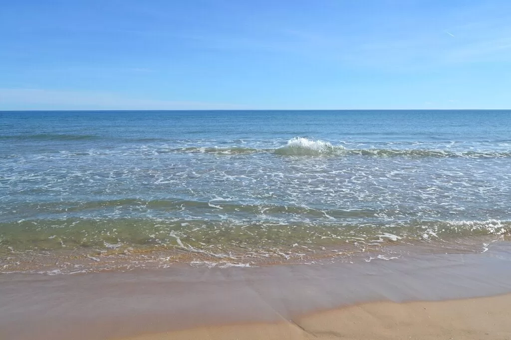
Platja de l’Ahuir, Gandia · Photo: Joanbanjo, CC BY-SA 4.0
Part of the Costa de Valencia guide · South: La Safor
La Safor is the comarca at the southern end of the province of Valencia, and its coast runs from Tavernes de la Valldigna through Xeraco, Gandia, Daimús, Bellreguard, Miramar and Piles to Oliva on the Alicante border. It is almost all sandy beach, much of it backed by dunes and wetlands, with the Borgia town of Gandia in the middle and mountains close behind (Comunitat Valenciana tourism). This guide covers each town from north to south, the beaches, what to do, where to base yourself, how to get there and a two-day route.
At a glance
- Where the coast of La Safor, from the Cullera boundary at Tavernes de la Valldigna to Les Deveses beach on the Dénia border, about 23 km from the beach of Tavernes to Aigua Morta in Oliva in a straight line.
- Towns Tavernes de la Valldigna, Xeraco, Gandia, Daimús, Guardamar de la Safor, Bellreguard, Miramar, Piles and Oliva, with Simat de la Valldigna and Alfauir inland.
- Best for a beach week, dunes and shallow water for children, windsurfing, Borgia Gandia, monasteries and birdwatching.
- Getting there Valencia airport is about 52 km from the beach of Tavernes and 64 km from Gandia in a straight line; Cercanías line C1 runs from València to Gandia, and the A-7 and N-332 run along the coast.
- On CostaMap guides to Tavernes de la Valldigna, Gandia and Oliva, the Ducal Palace, the Collegiate Basilica and the MAGa museum in Gandia, L’Ahuir beach, the Valldigna monastery and three campsites.
Map of La Safor
The map shows the places in La Safor that have a CostaMap page. Tick a place type to filter, and click a marker to see the place in the panel.
Place type
Area · next level
 Area map
La Safor: Tavernes, Gandia and Oliva
Click a marker to see the place here. From the beach of Tavernes past Gandia to Oliva, with the Valldigna and Marxuquera hills inland.
Towns and villagesTowns and villages
From north to south. Most towns have an old town a few kilometres inland and a separate beach district.
Tavernes de la Valldigna
Tavernes de la Valldigna is the first town of La Safor coming from Cullera. Its beach lies about 5 km from the town and has about 6 km of coastline in three parts: Tavernes beach (2,070 m), La Goleta (760 m) and the canal between them. It is known for windsurfing and kitesurfing and has lifeguards in summer (Comunitat Valenciana tourism). Above the town, the ruins of the castle of Alcalà d’Alfàndec keep Islamic defensive walls on a cliff of the Tres Creus massif; wear walking shoes. The Cova del Bolomor, with traces of life 300,000 years old, is seen on a booked guided tour (Comunitat Valenciana tourism).
Simat de la Valldigna (inland)
Simat lies up the valley, about 5 km west of Tavernes town. Its main sight is the Royal Monastery of Santa María de la Valldigna, founded in 1298 by James II of Aragon, rebuilt in Baroque style after an earthquake in 1644, and visited on free guided tours on Saturday and Sunday mornings (Comunitat Valenciana tourism). In the village, the old mosque of La Xara is now the chapel of Santa Anna, and the Camí dels Burros walk ends at the arches of an 18th-century aqueduct the monks built from the Font del Cirer spring (Comunitat Valenciana tourism).
Xeraco
Xeraco sits between the mountains and the sea, with a protected marshland between town and beach. The beach is 3 km long and over 80 m wide, with a ridge of dunes and native plants on one stretch, sports courts, an accessibility point with staff to help people bathe, and lifeguards; to the south it joins the beaches of Gandia (Comunitat Valenciana tourism). In the town, the 18th-century church of Nuestra Señora de la Encarnación has two bell towers of different sizes; the smaller is thought to be the old minaret. The Torre de Guaita, a coastal watchtower over 7 m high, stands 2 km from the village. (Comunitat Valenciana tourism). The Camping & Bungalows San Vicente is by the beach.
Gandia
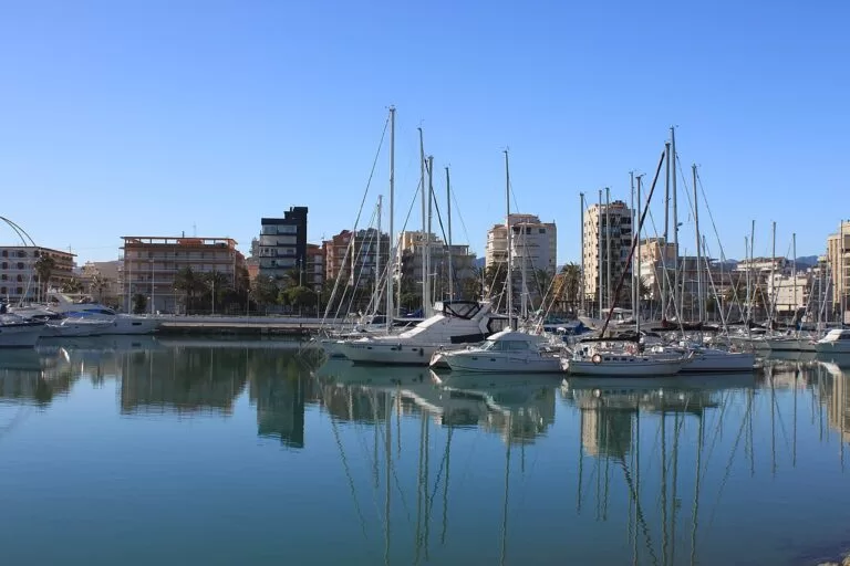
Gandia, the capital of La Safor, is the biggest town of the stretch and the end of the Cercanías line from València. Its old town keeps the legacy of the Borgias (Borja in Valencian): the Ducal Palace, the Gothic Collegiate Basilica of Santa María, the town walls and the MAGa archaeological museum (Comunitat Valenciana tourism). The beach district, the Grau i Platja, lies about 4 km away round the harbour, with the busy Platja Nord, the dunes of L’Ahuir to the north and Venecia and Rafalcaid to the south (spain.info). More in our Gandia destination guide.
Daimús and Guardamar de la Safor
Daimús, just south of Gandia’s harbour, has a sandy beach; Los Pedregales is suggested for snorkelling, and the Hort del Comte and the tomb of Baebia Quieta are a Roman site where two marble heads were found. (Comunitat Valenciana tourism). Next door, Guardamar de la Safor is a village of about a hundred people with a 17th-century church and an urban beach that still has dunes, with showers and toilets in season (Comunitat Valenciana tourism).
Bellreguard and Miramar
Bellreguard’s town lies a little back from the sea and its Blue Flag beach is known for fine sand and a family atmosphere, with windsurfing and flyboarding. In town, people still play pilota, the Valencian ball game, and the church of San Miguel Arcángel was built by the Dukes of Gandia. Try figatell, a fried parcel of liver, fat and spices (Comunitat Valenciana tourism). Miramar’s beach is 1.2 km of golden sand with calm water and a promenade looking south to the Montgó and north to Gandia harbour and the Cullera lighthouse (Comunitat Valenciana tourism). From its beach tourist office, the Sendero Azul de la Séquia Mare is a 3 km circular path through the huerta and marshes, suitable for wheelchairs (Comunitat Valenciana tourism).
Piles
Piles is split, like its neighbours, into a village and a beach district with farmland between them. The beach is 1,160 m long and 25 m wide, with calm water, a promenade, a sports area and a children’s area, and access for people with reduced mobility. There is a free car park with about 100 spaces, and the Gandia–Piles–Oliva bus line stops by the beach (Comunitat Valenciana tourism). North of the promenade stands a restored 16th-century watchtower, with summer films and concerts in the park around it (Comunitat Valenciana tourism).
Oliva
Oliva is the second town of La Safor and the last before the province of Alicante. Spain.info counts 10 km of clean beaches with shallow water, backed almost all the way by dunes that separate the orange groves from the sea (spain.info). The old town has two historic quarters, the Vila Condal and the Raval Morisco, the old Moorish district outside the walls, with the Tosalet del Doix viewpoint. Above them stand the ruins of the castle of Santa Ana, a 12th-century Islamic fortress declared a Site of Cultural Interest in 2002 (Comunitat Valenciana tourism). Font Salada is a spring whose water stays warm all year (Comunitat Valenciana tourism).
Beaches and coves
There are no coves here: this is one straight line of sand. From north to south, with lengths as the regional tourist board gives them.
L’Ahuir
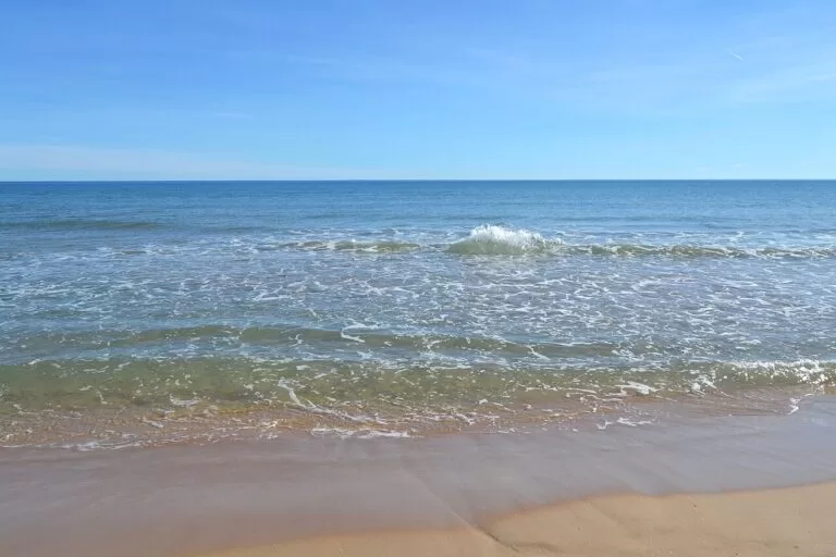
About 2 km of fine sand at the northern tip of Gandia, next to Xeraco, behind a protected ridge of dunes crossed on wooden walkways, with Mondúver mountain behind. It is an authorised nudist beach and a smoke-free beach, with lifeguards and a Blue Flag (Comunitat Valenciana tourism).
See the L’Ahuir guide →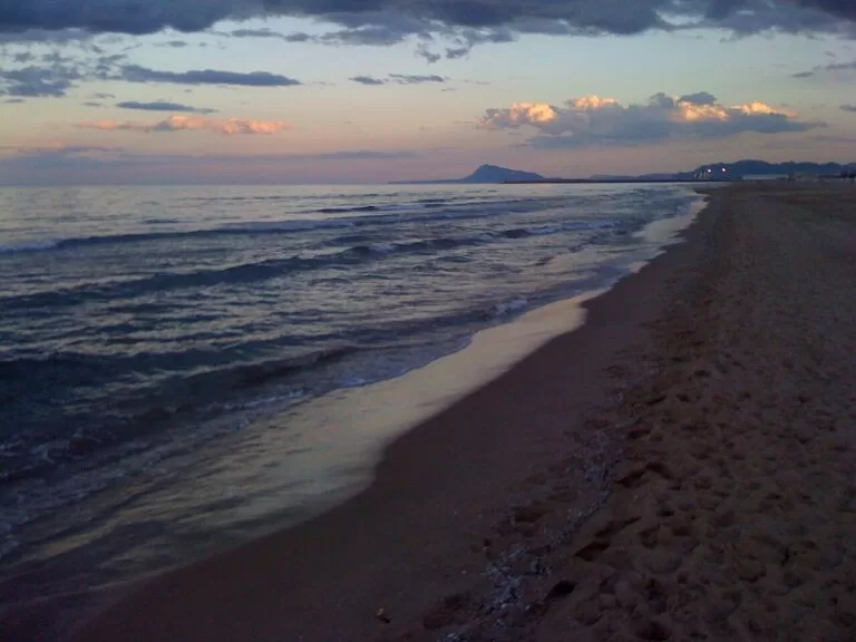
Platja Nord
More than 3 km long, with 300,000 m² of fine sand, a long promenade with a lane for bikes and scooters, deckchair hire, beach bars, lifeguards and adapted walkways and water chairs for people with reduced mobility (Comunitat Valenciana tourism).
See the Gandia guide →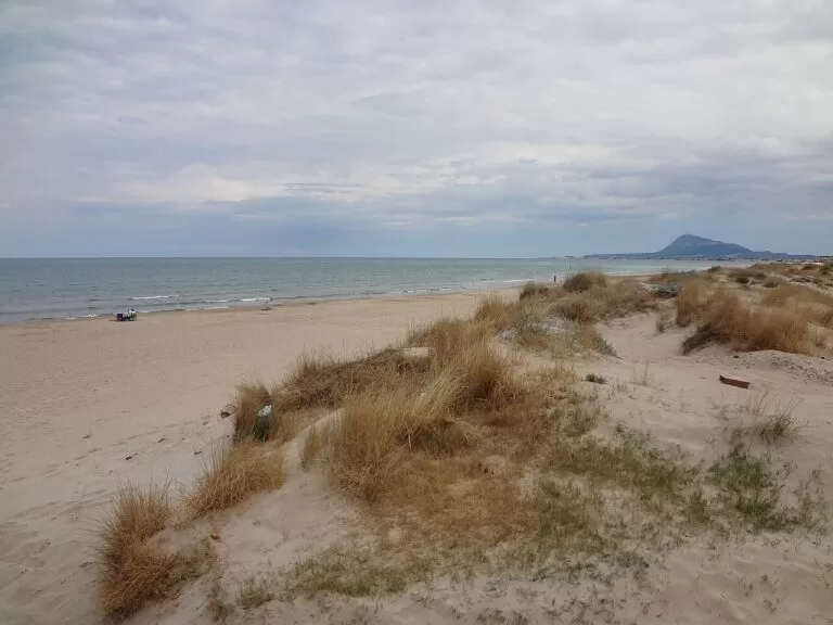
Rabdells and Aigua Morta
Rabdells is a near-virgin beach 1 km long and 80 m wide inside a ridge of dunes, between the Riuet dels Gorgs and the mouth of the Bullent. Aigua Morta, 2,200 m long, runs south to the Vedat river beside the Oliva Nova golf course (Comunitat Valenciana tourism).
See the Oliva guide →- Tavernes and La Goleta (Tavernes de la Valldigna) – 2,070 m and 760 m of golden sand, good for windsurfing and kitesurfing; Marenys beach has a protected belt of dunes (Comunitat Valenciana tourism).
- Xeraco – 3 km long and over 80 m wide, with dunes and an assisted bathing point (Comunitat Valenciana tourism).
- Miramar and Piles – about 1.2 km each, calm and family-oriented, with promenades.
- Pau Pi (Oliva) – 1,400 m long and 70 m wide, Oliva’s urban beach between the sailing club and the Séquia Mare, with windsurf, catamaran and kayak hire (Comunitat Valenciana tourism).
- Aigua Blanca (Oliva) – wild-looking sand by the mouth of the Bullent, shallow and calm far out, good with children (Comunitat Valenciana tourism).
- Les Deveses (Oliva) – 700 m by 100 m on the Dénia border, with dunes and rarely crowded; there is no dedicated car park (Comunitat Valenciana tourism).
Things to do
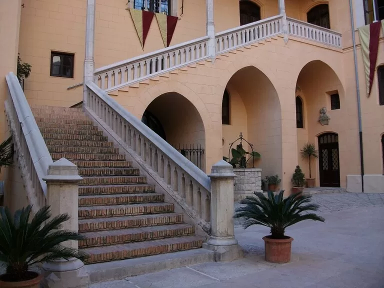
History: the Borgias and two monasteries
Gandia became a ducal city under the Borja pope Alexander VI, and its court life and university date from the 15th and 16th centuries (spain.info). The Ducal Palace, a Site of Cultural Interest since 1964, mixes Gothic, Renaissance, Baroque and neo-Gothic work and offers guided and audioguide tours (Comunitat Valenciana tourism). Inland, the monastery of Santa María de la Valldigna in Simat and the monastery of Sant Jeroni de Cotalba in Alfauir, about 8 km from Gandia, begun in the late 14th century, privately owned and open to visitors (Comunitat Valenciana tourism), make a monastery day. MAGa in Gandia shows finds from the Palaeolithic Parpalló cave.
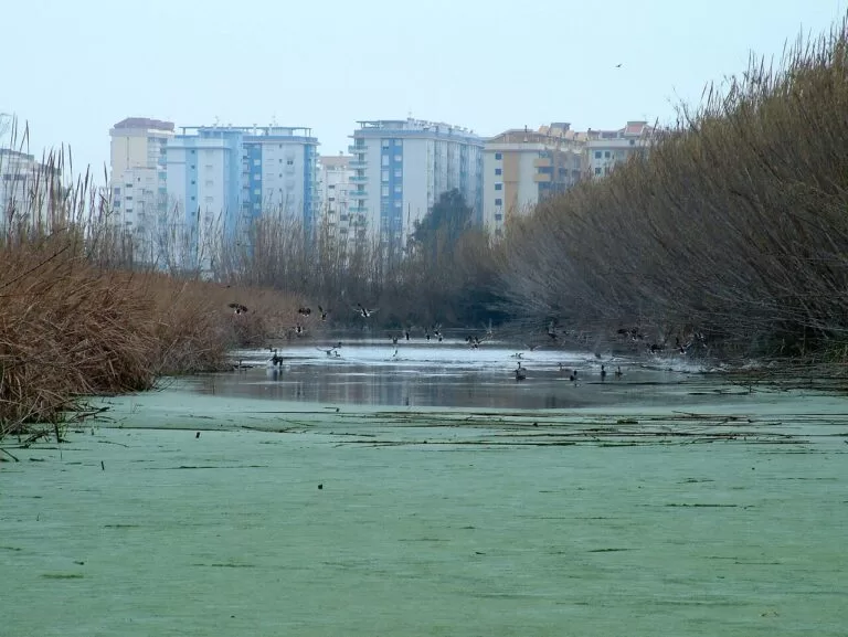
Nature: wetlands, springs and the greenway
South of Oliva, the Marjal de Pego-Oliva Natural Park is an old lagoon of wetlands and dunes fed by underground springs called ullals. Look for herons, black-winged stilts and ducks, and in the water the Valencia toothcarp; trails and a small viewing mound cross it (Comunitat Valenciana tourism). The Vía Verde de La Safor follows 7 km of the old Dénia–Carcaixent railway from Gandia to Oliva through orange groves and links to the Dénia greenway; it suits walkers, bikes and wheelchairs (Comunitat Valenciana tourism). Walkers can take the PR-CV 38 above Tavernes to the Alto de las Cruces, or head for the Marxuquera hills behind Gandia, where El Morabito is a round 17th-century building thought to have stored snow.
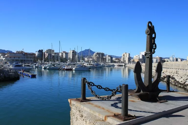
Food and festivals
Gandia’s dish is fideuà; spain.info also lists arroz a banda, cooked in fish stock and served with garlic sauce, and black rice with squid ink (spain.info). In Oliva try coques a la calfó and figatells, and in Miramar polp farcit, stuffed octopus. Gandia holds its Fallas from 15 to 19 March, Easter week, and the fiestas of San Francisco de Borja from 29 September to 3 October (spain.info).
Where to stay by town
The places we would base a trip in, north to south. We name no hotels; compare locations on the map.
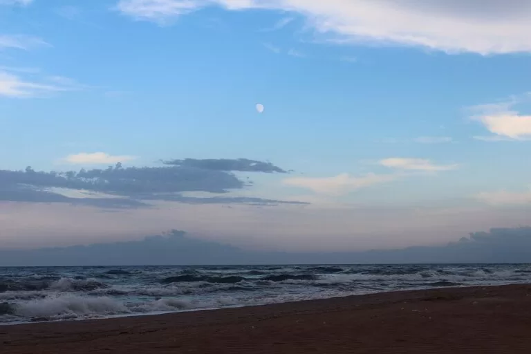
Tavernes and Xeraco beaches
Apartment districts on long beaches, with railway stations in both towns on the line to València. Good for windsurfers and for the Valldigna monastery.
Quiet beach, wind sportsGandia: Platja Nord or the old town
The most choice and nightlife on the beach; the old town, 4 km inland, is next to the palace and the train. Camping La Naranja is in the beach district and Camping La Escalada in the Marxuquera hills.
Beach week without a car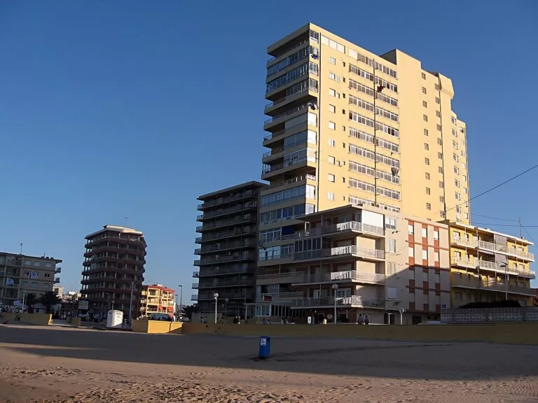
Daimús to Piles
Small beach districts with promenades and calm water, quieter than Gandia and on the coast bus.
Families, calm water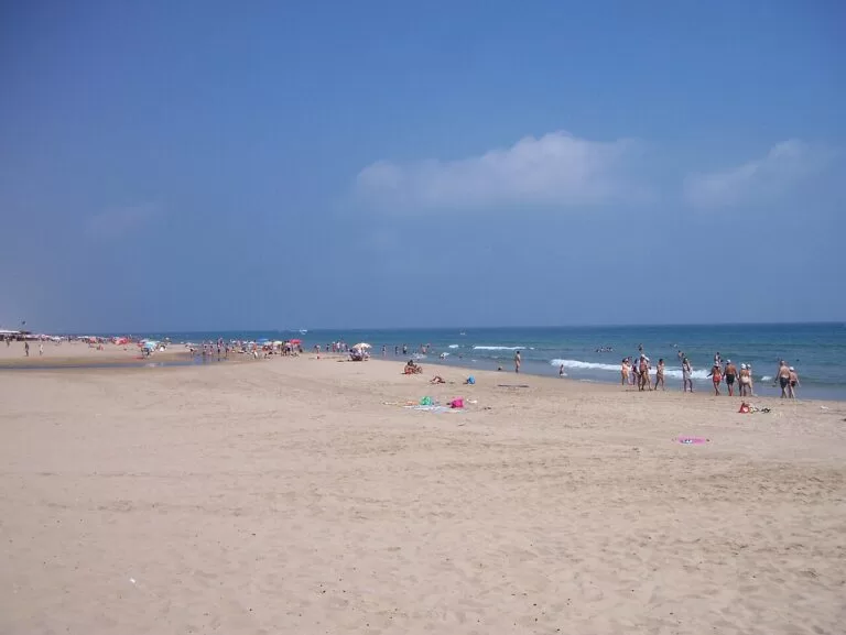
Oliva
Dune beaches, campsites, a golf course and the wetlands, with an old town to walk in the evening. Best with a car; Dénia is about 22 km away.
Dunes, a slower weekGetting there and around
By air
Valencia airport is about 52 km from the beach of Tavernes, 64 km from Gandia and 71 km from Oliva in a straight line. Alicante-Elche airport is about 81 km from Oliva (OpenStreetMap). Metro links are in the Costa de Valencia guide.
By train
Cercanías line C1 runs from Valencia Nord to Gandia, the end of the line. OpenStreetMap shows stations on the way at Tavernes de la Valldigna and Xeraco, both a few kilometres from their beaches. There is no train to Oliva.
By car and bus
The A-7 motorway and the N-332 run the length of the stretch (Comunitat Valenciana tourism); the CV-60 runs inland from Gandia past Alfauir. A Gandia–Piles–Oliva bus line serves the beaches south of Gandia (Comunitat Valenciana tourism). We could not confirm timetables; a car makes the monasteries much easier.
A two-day route
Based in Gandia, with a car for the second day.
Day 1
Borgia Gandia and the northern dunes
Start at the Ducal Palace for an 11:00 or 12:00 guided tour (in Spanish) or take the audioguide, then walk to the Collegiate Basilica and the MAGa museum. After a fideuà lunch, walk the boardwalks through the dunes of L’Ahuir and end on the Platja Nord promenade at sunset.
Day 2
Valldigna in the morning, Oliva in the afternoon
On a weekend, drive to Simat for the free morning tour of the Valldigna monastery; on a weekday see Sant Jeroni de Cotalba near Alfauir. After lunch drive to Oliva, climb to the castle of Santa Ana, swim at Rabdells and end with a walk in the Marjal de Pego-Oliva.
FAQ
Which towns are in La Safor?
On the coast, from north to south: Tavernes de la Valldigna, Xeraco, Gandia, Daimús, Guardamar de la Safor, Bellreguard, Miramar, Piles and Oliva. The comarca also has inland villages such as Simat de la Valldigna, Alfauir, Barx and Villalonga.
Is there a train from Valencia to Gandia?
Yes. Cercanías line C1 runs from Valencia Nord to Gandia; OpenStreetMap shows stations on the line at Tavernes de la Valldigna and Xeraco. Gandia station is in the town, about 4 km from the beach.
Is there a nudist beach in Gandia?
Yes. L’Ahuir, at the northern end of Gandia next to Xeraco, is an authorised nudist beach of about 2 km behind protected dunes, with lifeguards.
What is the best beach near Gandia for children?
Platja Nord has the most services and adapted access. For shallow, calm water the regional tourist board suggests Aigua Blanca in Oliva.
Gandia or Oliva: which is better to stay in?
Gandia has the train, the most accommodation and nightlife, and the Borgia sights. Oliva is quieter, with dunes, campsites and a golf course, and works best with a car.
Other areas of the Costa de Valencia
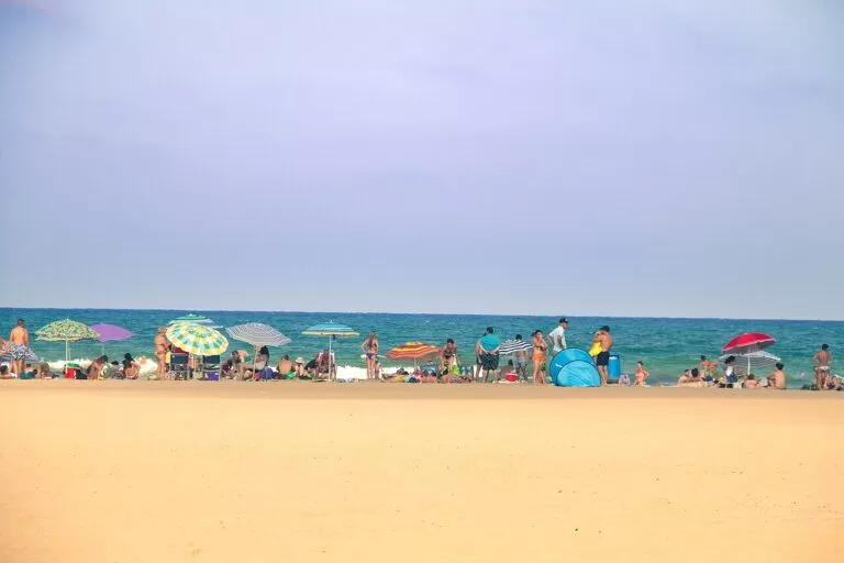
Costa de Valencia
The whole coast of the province from Sagunto to Oliva, with the map, weather, inland day trips and itineraries.
Costa de Valencia guide →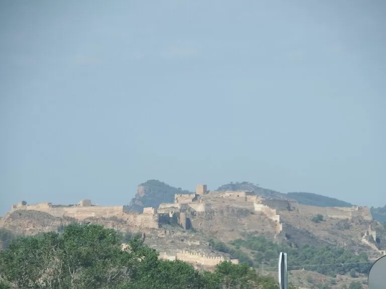
Sagunto and the northern beaches
Roman Sagunto above its port, then calm Blue Flag beaches at Canet and Puçol.
Sagunto and northern beaches guide →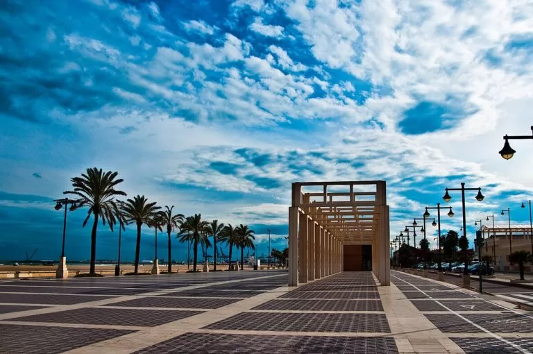
València and its city beaches
The city, its old town and the beaches of El Cabanyal, La Malvarrosa and La Patacona.
València city beaches guide →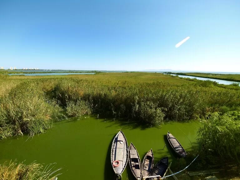
The Albufera, Sueca and Cullera
Rice fields, the lagoon and dune beaches, ending at Cullera next to Tavernes.
Albufera, Sueca and Cullera guide →South of Oliva the coast continues into Alicante as the Costa Blanca; Dénia is about 22 km from Oliva. Inland, Xàtiva is about 29 km from Gandia.
Sources and freshness
Checked 7 November 2026. Comunitat Valenciana tourism on La Safor, Tavernes de la Valldigna, Simat de la Valldigna and its monastery, Xeraco, Gandia, the Ducal Palace, Sant Jeroni de Cotalba, Daimús, Guardamar de la Safor, Bellreguard, Miramar, Piles, Oliva, the Marjal de Pego-Oliva, the Vía Verde de La Safor and the beaches linked above. Spain.info on Gandia and Oliva. Map data, stations and straight-line distances: OpenStreetMap. Photos: Wikimedia Commons, as credited on the Costa de Valencia guide. Not confirmed: bus timetables, 2026 Blue Flags and lifeguard dates, monastery opening hours; the Gandia, Oliva and Tavernes tourist office websites could not be reached from here.