
Costa de Valencia · North
Sagunto and the northern beaches travel guide: Corinto to Massamagrell
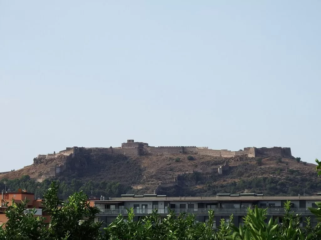
Roman Sagunto on its castle hill, the old steel port below it, and a run of calm, dune-backed beaches from Corinto south to the edge of València.
Sagunto · Photo: 19Tarrestnom65, CC BY-SA 4.0
Part of the Costa de Valencia guide · Sagunto and the northern beaches
Sagunto and the northern beaches is the stretch of the Costa de Valencia between the Castellón border and the outskirts of València: the Camp de Morvedre, with Sagunto and Canet d’en Berenguer, and the northern part of L’Horta Nord, with Puçol, El Puig de Santa Maria, La Pobla de Farnals and Massamagrell. Its draw is Sagunto, where a 1st-century Roman theatre and a mainly Moorish castle almost a kilometre long, with Iberian and Roman remains, share one hill (Spain.info), and about 20 km of mostly quiet beaches, several backed by dunes and several with Blue Flags, running south towards the city.
At a glance
- Where the northern coast of Valencia province, from Corinto on the Castellón border to Massamagrell beach, about 12–30 km north of València.
- Towns Sagunto and Port de Sagunt, Canet d’en Berenguer, Puçol, El Puig de Santa Maria, La Pobla de Farnals and Massamagrell.
- Best for Roman and medieval history, quiet beaches with dunes, birdwatching, sailing and a short hop from València.
- Getting there Valencia Airport (VLC) is about 27 km from Sagunto in a straight line; Cercanías trains C5 and C6 stop at Sagunt, and the V-21 and AP-7 run up the coast.
- On CostaMap guides to Sagunto, Playa de l’Almardà and the Marjal dels Moros, and town guides to Canet, Puçol and El Puig.
Map of Sagunto and the northern beaches
The map shows the places in this stretch that have a CostaMap page. Tick a place type to filter, and click a marker to see the place in the panel.
Place type
Area · next level
 Area map
Sagunto and the northern beaches
Click a marker to see the place here. From Corinto and Roman Sagunto to the beaches of Canet, Puçol and El Puig.
Towns and villagesTowns and villages
From north to south, as described by Turisme Comunitat Valenciana, the regional tourist board.
Sagunto (Sagunt)
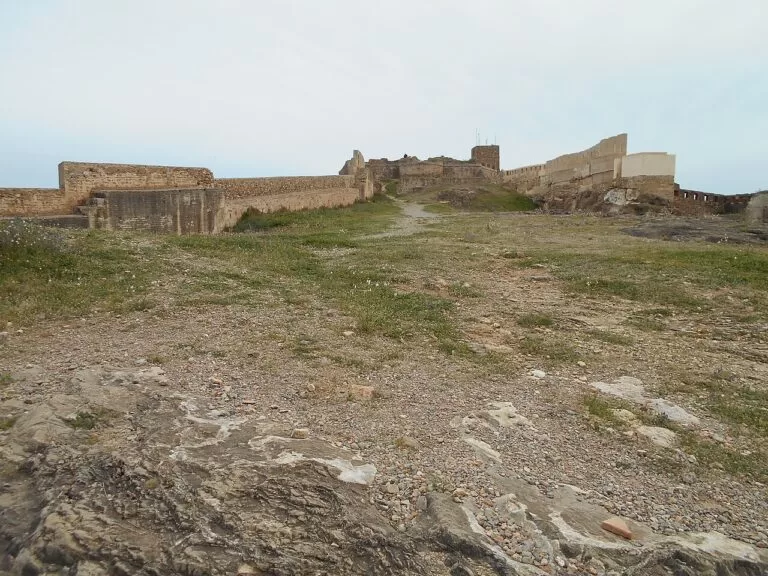
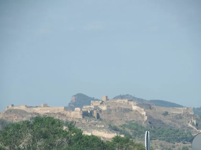
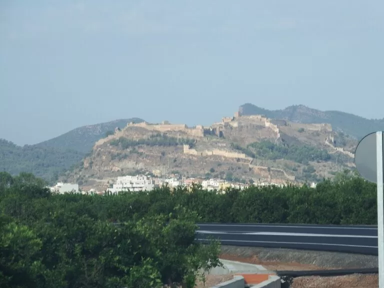
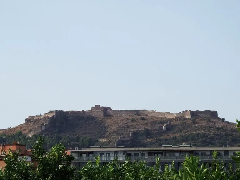
Sagunto, Arse to the Iberians and Saguntum to the Romans, sits at the foot of the Serra Calderona, about 6 km from its port and beaches. Its old town is a Property of Cultural Interest. The castle on the ridge is almost a kilometre long, divided into seven squares, with the remains of the Roman forum, cisterns and walls, and the Roman theatre below it, built into the hillside in the 1st century, is a National Monument (Spain.info). Below the castle lie the old Jewish quarter, the Domus dels Peixos Roman house and the Casa dels Berenguer tourist office, which shows a mikveh, a Jewish ritual bath (Comunitat Valenciana). See our Sagunto guide and the Sagunto map page.
Corinto and L’Almardà
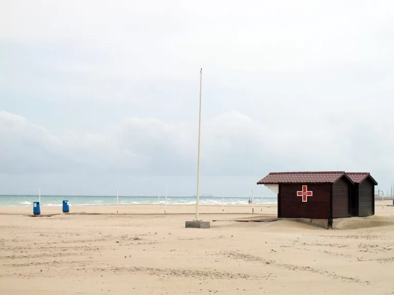
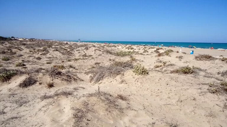
Sagunto’s coast begins at the Castellón border with Corinto and Malvarrosa beaches, 3,200 m of sand and stone with dunes, few visitors, a campsite and, at Malvarrosa, an area where nudism is practised (Comunitat Valenciana). South of it, the residential district of L’Almardà has a 1,650 m Blue Flag beach behind a protected dune cordon, with lifeguards from 15 June to 15 September (Comunitat Valenciana). See our Playa de l’Almardà guide.
Canet d’en Berenguer
Canet is a small seaside town in the Camp de Morvedre, wedged between Sagunto’s beaches. In the old centre stand the 18th-century church of San Pedro Apóstol, with a 16th-century altarpiece, and an Ethnological Museum in a traditional farmhouse with a scale model of the town in the early 19th century. Its old lighthouse is, according to the tourist board, the furthest inland in the Valencian region (Comunitat Valenciana). The town’s only beach, Racó de la Mar, is 1,250 m long, and the sailing club beside it has 579 moorings (Comunitat Valenciana). See our Canet d’en Berenguer guide.
Port de Sagunt
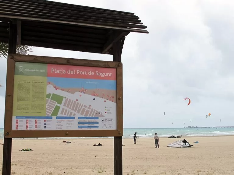
The port district grew up around the steelworks built here from 1917 by Altos Hornos de Vizcaya; the plant closed in 1984 after years of protests (English Wikipedia). Its symbol is Blast Furnace No. 2, built in 1922, over 60 m tall and the only one of three furnaces left. Restored in 1998, it won a Europa Nostra award in 2012 and is now a museum you can climb inside (Comunitat Valenciana). The beach in front of the district is more than a kilometre of very fine sand with a lively promenade, restaurants and paddle-surf hire; it gets very crowded in high season (Comunitat Valenciana).
Puçol
Puçol is a town of L’Horta Nord, between fields and the sea. In the centre are the Santos Juanes parish church, begun at the end of the 16th century, and La Torreta, an old watchtower now inside the town. About a kilometre west stands the Molí de Vent, a windmill dating back to Muslim times. Beyond it, La Costera Municipal Natural Park is a hill in the foothills of the Serra Calderona with signposted trails (Comunitat Valenciana, Molí de Vent). On the coast, Puçol shares the Marjal dels Moros wetland with Sagunto. See our Puçol guide.
El Puig de Santa Maria
El Puig is where James I gathered his troops before taking València. On the hill, Cebolla Castle, built by the Arabs and briefly held by El Cid, survives as walls and parts of towers (Comunitat Valenciana). In town, the Royal Monastery of Santa María, founded by James I, has cloisters, a Royal Room, a Gothic hall with a replica of the king’s sword and rooms of Roman ceramics; it also houses a museum of printing and graphic arts (Comunitat Valenciana). Nearby are the Carthusian monastery of Ara Christi, begun in 1585, and the Sant Jordi chapel of 1631. See our El Puig guide.
La Pobla de Farnals
La Pobla de Farnals is a huerta town, surrounded by market gardens, with its church of San José and bakeries in the old centre. The historic Vía Xurra cycle path runs from here south towards València. On the coast, the town has two short beaches either side of the Pobla Marina harbour, which has a sailing school. During the San Antonio festivities the streets fill with calderas de buey, a beef stew cooked for hours over wood fires, and for the Virgen del Carmen boats put out to sea (Comunitat Valenciana, Pobla Marina).
Massamagrell
Massamagrell, the southern end of this stretch, is a small huerta town best explored on foot or by bike, with the parish church of San Juan Apóstol y Evangelista and two Capuchin convents. The Vía Xurra passes through. Its beach is rustic and open, with coarse sand, beside a coastal marsh where you can watch birds. Try the local rice dish arroz amb fesols i naps, with beans and turnips (Comunitat Valenciana, beach).
Beaches
From north to south. Lengths, services and lifeguard dates are as Turisme Comunitat Valenciana gives them, checked in November 2026. Blue Flags are awarded each season, so check the current one.
L’Almardà
1,650 m of sand and pebbles behind a protected dune cordon; lifeguards from 15 June to 15 September, a beach bar, a playground and accessible facilities. North of it, Corinto and Malvarrosa add 3,200 m of quiet, natural shore (Comunitat Valenciana).
Racó de la Mar
1,250 m long and 80 m wide, with fine sand, dunes, a lifeguard post, amphibious chairs and a promenade with a summer market; Blue Flag listed (Comunitat Valenciana).
Port de Sagunt beach
More than a kilometre of very fine sand by the port, with a lively promenade, restaurants, sports areas and paddle-surf hire. Very busy in high season (Comunitat Valenciana).
- Puçol – over 2 km of fine sand protected by breakwaters, with a promenade opened in 2005, a medium to low number of visitors and a rocky seabed near the shore that suits snorkelling; Blue Flag listed (Comunitat Valenciana).
- El Puig – about 4 km of sand and pebbles in five sections, most split into small coves by breakwaters: Santa Elvira-La Torreta (750 m, by the Puçol border), Dels Plans (1,300 m, reached by the T112 bus), Barrio de Pescadores (518 m, with a dog area at its north end), Puig Val-Play Puig (869 m, with a palm-lined promenade) and Medicalia (330 m) (Comunitat Valenciana).
- La Pobla de Farnals – Norte beach, 220 m of fine sand with calm, shallow water and a Blue Flag, and Pobla Marina (Sur) beach, 150 m and protected by breakwaters, either side of the harbour (Comunitat Valenciana).
- Massamagrell – a rustic, open beach of coarse sand next to a coastal marsh (Comunitat Valenciana).
Things to do
History: Iberians, Romans, a king and a steelworks
Sagunto Castle was built up by Romans, Visigoths, Muslims and Christians and used as a garrison until the early 20th century; inside are stables, the bailey, the old Roman forum and a cistern (Comunitat Valenciana). The Roman theatre below still stages plays, especially in summer (Comunitat Valenciana); both are free to enter and closed on Mondays (see our Costa de Valencia guide). The Archaeological Museum is in a 14th-century market hall (Comunitat Valenciana). In Port de Sagunt, climb Blast Furnace No. 2; in El Puig, visit the Royal Monastery and the 16th-century watchtower on the seafront, 20.5 m tall and recently restored (Comunitat Valenciana).
Nature: wetlands, dunes and the Serra Calderona
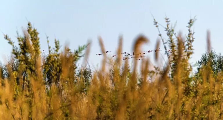
The Marjal dels Moros, between Sagunto and Puçol, is a Natura 2000 wetland of around 350 hectares with marked paths, bird hides and an environmental education centre; around 250 bird species have been seen there, among them the marbled teal and the white-headed duck (Comunitat Valenciana). The dunes of L’Almardà, Corinto and Canet are protected, so cross them only on the walkways. Inland, the castle hill is part of the Serra Calderona Natural Park, and Puçol’s La Costera park has signposted trails with views over the coast.
Sea, food and festivals
From Canet, Costa Palancia runs dives to the S.S. Coila, sunk by a German submarine and lying at 35 m, and to two merchant wrecks at 20 m; it listed a single dive at 28 euros (Comunitat Valenciana, checked November 2026). In the huerta towns, look for arroz amb fesols i naps and the calderas de buey of the San Antonio festivities. Sagunto’s Easter Week and Fallas are listed on Spain.info, and El Puig marks James I’s entry into València every 9 October at the Sant Jordi chapel (Comunitat Valenciana).
Where to stay by town
The towns we would base a trip in, north to south.
Sagunto old town
Sleep below the castle for the monuments, the evening theatre season and the train station. The beach is a bus ride away.
History and trainsCanet and Port de Sagunt
The beach bases of the stretch, with hotels, restaurants and promenades along the sand, and the marina at Canet. Busiest in July and August.
Beach week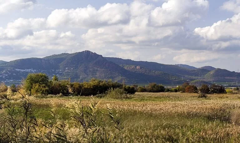
Puçol, El Puig and La Pobla de Farnals
Quieter beach areas closest to València, with breakwater coves for children, the marsh and the monastery nearby, and València close by.
Families and day trips to ValènciaCorinto also has a campsite behind its beach (Turisme Comunitat Valenciana). We do not name hotels; search the official Comunitat Valenciana listings for each town.
Getting there and around
By air
Valencia Airport (VLC) at Manises is about 27 km from Sagunto in a straight line. Metro lines 3 and 5 link it with the city centre (see our Costa de Valencia guide).
By train
Renfe Cercanías lines C5 and C6 stop at Sagunt station, about 24 km from central València; C6 continues to Castelló. Puçol also has a station, about 3.5 km from its beach (OpenStreetMap).
By bus
Metrobús and Sagunto urban bus stops line the Avinguda d’Europa behind L’Almardà (OpenStreetMap), and the T112 bus serves Dels Plans beach in El Puig (Turisme Comunitat Valenciana). We could not confirm timetables.
By car
The V-21 motorway runs north from València past El Puig and Puçol, and the N-340 and AP-7 reach Sagunto and its beaches (Turisme Comunitat Valenciana). A car helps for Corinto, the marsh and the inland castles.
A two-day route
By train and car, north to south.
Day 1
Roman Sagunto and the port
Arrive by train from València. Walk up through the main square and the Jewish quarter to the Roman theatre and on along the castle ridge for the views over the coast. Then head down to Port de Sagunt for Blast Furnace No. 2. End the day on the promenade at Port de Sagunt or with a walk on the dunes at L’Almardà. Remember that the castle and theatre close on Mondays.
Day 2
The marsh, El Puig and the southern beaches
Start early at the Marjal dels Moros, walking from the environmental education centre to the hides, then out to Puçol beach. Drive or take the train to El Puig for the Royal Monastery and Cebolla Castle hill, and spend the afternoon on one of El Puig’s breakwater coves or at La Pobla de Farnals, with a rice dish at the harbour before returning to València.
FAQ
Is Sagunto worth visiting?
Yes, for history. Spain.info describes a 1st-century Roman theatre with seating cut into the hill and a castle almost a kilometre long with Iberian, Roman and Islamic remains, and the old town is a Property of Cultural Interest. Allow at least half a day.
What are the best beaches near Sagunto?
Port de Sagunt for a lively urban beach, L’Almardà and Corinto for dunes and quiet, and Racó de la Mar in Canet for a family beach with a marina. Further south, Puçol and El Puig have calm water behind breakwaters.
How do I get from Valencia to Sagunto?
By Cercanías train on lines C5 or C6 to Sagunt station, about 24 km from central València, or by car on the V-21 and the N-340 or AP-7.
Is Sagunto Castle free?
Yes. The castle and the Roman theatre are free to enter and closed on Mondays, as our Costa de Valencia guide notes from Sagunto’s tourist office.
Is there a nudist beach near Sagunto?
Turisme Comunitat Valenciana says Malvarrosa beach, at the northern end of Sagunto’s coast next to Corinto, has an area where nudism is practised.
Other areas of the Costa de Valencia
Costa de Valencia
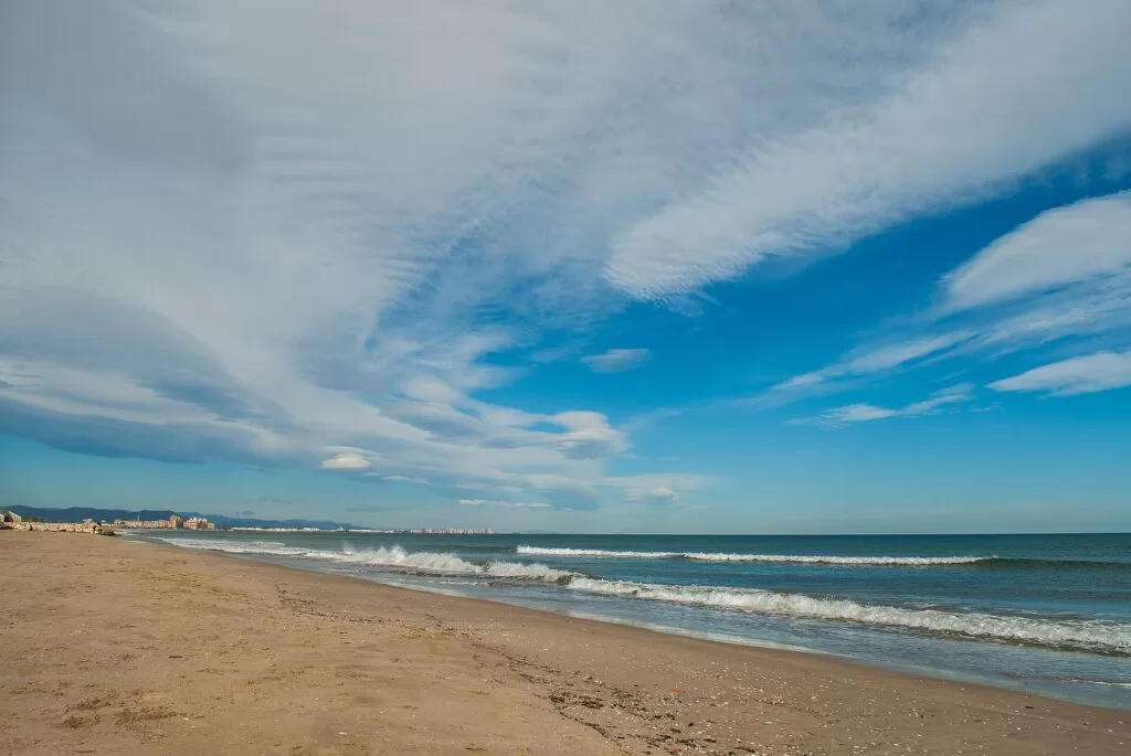
The whole coast of Valencia province, from Sagunto to Oliva, with the map, weather and itineraries.
Costa de Valencia guide →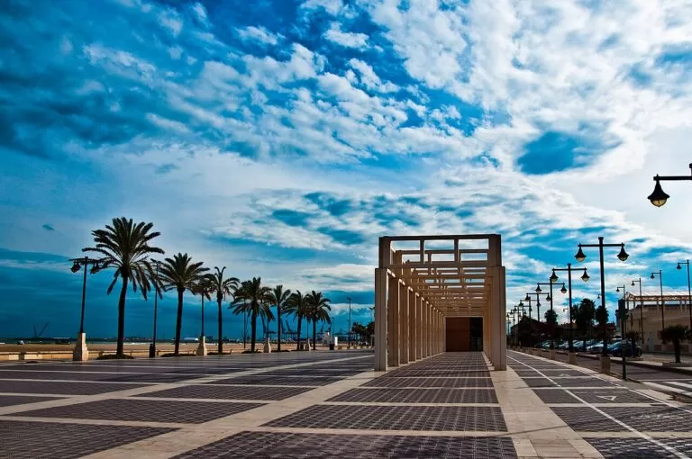
València and its city beaches
El Cabanyal, La Malvarrosa and La Patacona, a tram ride from the old town, plus Alboraya and the huerta.
València city beaches guide →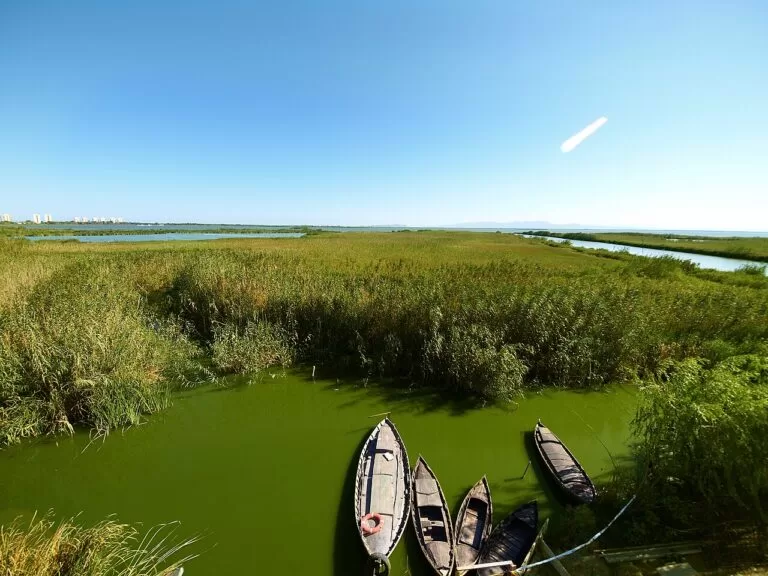
The Albufera, Sueca and Cullera
Rice fields, the freshwater lagoon, dune beaches and the castle hill of Cullera.
Albufera and Cullera guide →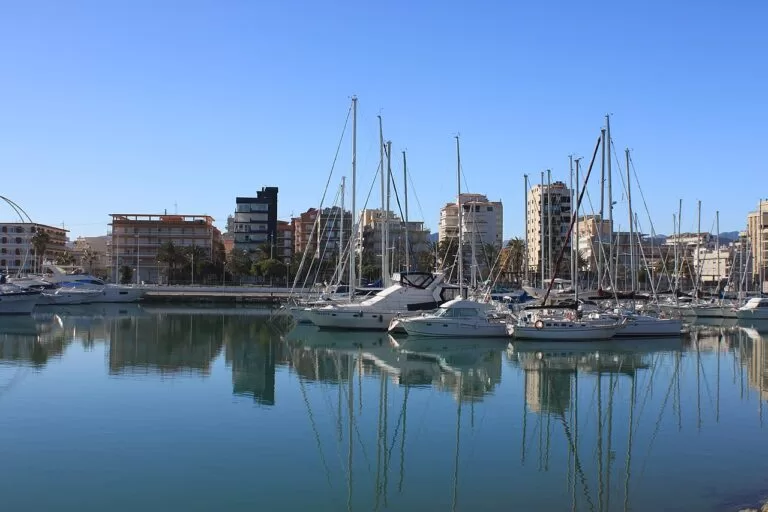
La Safor: Tavernes, Gandia and Oliva
Long, wide sandy beaches with dunes, the Borgia town of Gandia and the quieter shore of Oliva.
La Safor guide →North of Corinto the coast continues into Castellón: see our Almenara guide and the Costa del Azahar guide.
Sources and freshness
Checked 7 November 2026. Turisme Comunitat Valenciana on Sagunto, Canet d’en Berenguer, Puçol, El Puig de Santa Maria, La Pobla de Farnals and Massamagrell, and on the monuments, beaches and activities linked in the text, including the Grau Vell fort, Ara Christi and El Puig’s Santa Elvira, Dels Plans, Puig Val and Medicalia beaches. Spain.info on Sagunto. Steelworks history: English Wikipedia. Train lines, airport links and monument closing days as in our Costa de Valencia guide. Map data and straight-line distances: OpenStreetMap contributors. Photos from Wikimedia Commons: Sagunto by 19Tarrestnom65 (CC BY-SA 4.0); Sagunto Castle by Simon Burchell (CC BY-SA 4.0); Canet d’en Berenguer by Tuquequeviajero (CC BY-SA 3.0); L’Almardà by Falconaumanni (CC BY-SA 3.0); Port de Sagunt beach by Tuquequeviajero (CC BY-SA 3.0); Marjal dels Moros by Pedro José Ponce Asensio (CC BY-SA 4.0); València by Mihael Grmek (CC BY-SA 3.0), Raffaele Nicolussi (CC BY 3.0); the Albufera by Estroncio (CC BY-SA 3.0); Gandia by velomartinez (CC BY-SA 3.0). Not confirmed: bus and train timetables, opening hours and prices for Blast Furnace No. 2 and the El Puig monastery, and current Blue Flag status.