
Expect a quietly layered Spanish hilltown where you come for history and views rather than bustling tourist infrastructure. This is a place where Moorish walls, a compact old town and convent courtyards reward slow walking; services and attractions are concentrated and unflashy. If you want flamenco-packed nights or a coastal resort vibe, you’ll feel the town’s limits quickly. If you like archaeology, churches seeded into earlier mosques, and a real sense of historical continuity in stone, this will repay your time.
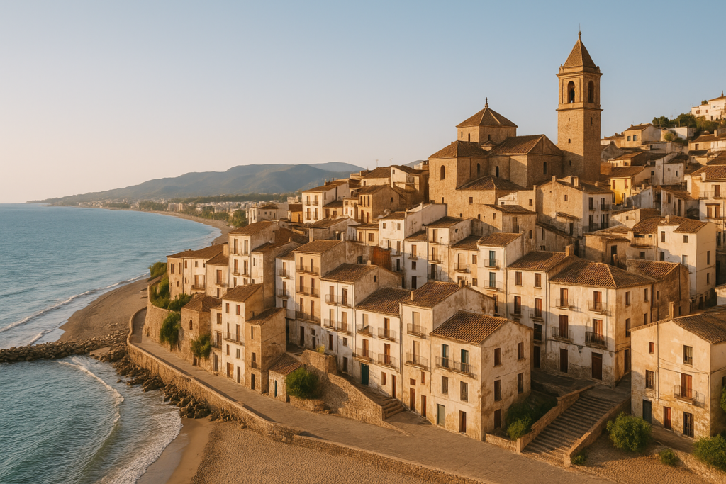
Loja at a glance
- Western edge of Granada province, set in the Genil valley beneath the Sierra de Loja.
- Historic core with noticeable Islamic and Christian layers: an Alcazaba fortress quarter and several late-medieval churches and convents.
- Key historic monuments include the 16th-century Convent of Santa Clara and the 17th-century Palacio de Narvaez.
- Railway history: a Bobadilla–Granada line was laid through the town in the 1870s; a new high-speed variant is under construction as of 2025.
- Landscape: overlooked by the Sierra Gorda peak at 1,671 m, which shapes walking and outlooks.
- Notable small urban feature: the Fuente de la Mora, a multi-tubed fountain local guides often point out.
Before you plan
A new high-speed route (the variante de Loja) is being built through the Mediterranean Corridor as of 2025 to improve journey times. Expect some construction-related disruption on approaches and possible changes to rail services until the works complete.
Things to do in the town
Loja’s core attractions are compact and historical rather than theme-park style. Most visits follow a walking circuit through the old town: fortress walls and towers, a handful of convent and palace courtyards, and the major churches that mark the town’s shift from Islamic to Christian rule. Allow time for slow exploration rather than squeezing in many separate paid experiences.
| Attraction | What it is | Price/entry | Best for |
|---|---|---|---|
| Alcazaba quarter | Moorish fortress: remaining walls and towers | – | History walks, views |
| Convent of Santa Clara | 16th‑century convent | – | Quiet architecture, cloisters |
| Palacio de Narvaez | 17th‑century palace | – | Architecture, period façades |
| Church of the Incarnation | Built beginning in 1491 on the site of the main mosque | – | Religious history, reconversion sites |
| Fuente de la Mora | Distinctive fountain with twenty‑five tubes | – | Photo stop, local curiosity |
The Alcazaba and the Moorish quarter
The town’s Islamic past is concentrated in the Alcazaba quarter, where you can still trace sections of the fortress walls and surviving towers. This is the clearest visible link to the medieval period when the settlement was known by Arabic names such as Lūsha and later Lauxa; those toponymic layers show up in alley names and in the footprint of the old fortifications. Walk the perimeter where accessible, and use the walls as a way to orient yourself across the compact old town.
Convents, churches and religious conversions
Religious architecture records the transition from Islamic to Christian control. The Church of the Incarnation was begun in 1491 on the site of the town’s main mosque, a deliberate statement of conversion common across the region after the Granada War. Nearby, the Convent of Santa Clara dates to the 16th century and offers cloistered spaces that illustrate post-Reconquest religious foundations. These are not grand cathedral complexes; they are sober, locally scaled monuments with solid architectural presence.
Palaces and civic houses
Domestic grandeur survives in a few notable civil buildings from the 17th century. The Palacio de Narvaez and the Caseron de los Alcaides Cristianos are period townhouses that preserve façades and structural layouts typical of post-medieval Andalusian civic architecture. They’re best appreciated on a slow stroll that lets you notice carved stonework, doorways and inner courtyards rather than as stand-alone museum visits.
Best beaches in the area
There are no beaches in the immediate valley town — the closest coastline lies well to the south on the Granada/Málaga littoral. Expect inland, mountainous scenery rather than seaside facilities when planning a stay here.
The town with kids
Families should approach Loja as a compact, walkable place for short exploratory outings rather than as a child-focused destination. The fortress walls and towers make for adventurous wandering for older children who enjoy ruins and viewpoints. Convent courtyards and palace doorways can be intriguing for inquisitive youngsters, but attractions are mostly outdoor historic fabric rather than play-oriented facilities. Plan short days and bring water and sun protection for hot months: the town’s layout channels walkers along sun-exposed streets and viewpoints.
How to get to Loja and get around
The town sits at the western limit of Granada province in the Genil valley, which shapes main access routes through the corridor between the Sierra de Loja and surrounding foothills. Rail infrastructure has been significant for connectivity: a 19th-century line linking Bobadilla and Granada was laid through the town in the 1870s, and work on a high-speed variant is underway as of 2025.
On foot, the historic centre is compact and best explored by walking. Streets can be narrow and historic surfaces uneven; comfortable shoes are recommended. Expect to use local roads or rail for longer hops to neighbouring towns and the provincial capital.
Where to stay in Loja
Accommodation tends to cluster around the historic core and the more modern commercial streets that run through the valley floor. Staying near the old town puts you within easy walking distance of the Alcazaba, the main churches and the fountain; properties on the valley floor offer easier car access and proximity to transport routes. Choose the old-town side if you want ambience and short walks; choose the valley/modern side if you need simpler parking and driving conditions.
Best time to visit the area
Visit times depend on whether you prioritise walking and hill views or quieter low-season strolling. Summers can be hot in inland Andalusian valleys; shoulder seasons offer milder walking conditions under the gaze of the Sierra Gorda peak. The town’s historical attractions are outside and clerical; plan around heat and short daylight hours in winter. Construction on the high‑speed rail line in 2025 may affect approaches at certain times, so check transport notices before travelling.
History of Loja
The town’s narrative stretches back into early medieval chronicles: it first clearly appears in Arab records in 890 under names rendered as Lūsha or Medina Lawša. Its Islamic identity persisted, reflected in the fortified Alcazaba and the urban layout. In the turbulent centuries of frontier politics, Ferdinand III of Castile took the town in 1226, though it was soon abandoned, and later the town was attacked by Christian forces during the Granada War — specifically in 1486 under Ferdinand and Isabella. By the late 15th century the town’s religious geography was being transformed: work on the Church of the Incarnation began in 1491 on the site of the principal mosque, a physical symbol of the political and cultural turnover. Subsequent centuries produced civic palaces and convents in the 16th and 17th centuries, and the town also featured in 19th‑century turmoil: the Loja uprising of 1861, led by Rafael Pérez del Álamo, marks it out as a focal point for regional unrest. Industrial-era transport arrived when a railway line linking Bobadilla and Granada was laid through the town in the 1870s, setting the scene for modern connectivity and the twentieth-century urban footprint. The surrounding Sierra de Loja and the Sierra Gorda peak form a constant physical backdrop throughout this long history.
Practical info
- Transport notes: the historical Bobadilla–Granada rail alignment runs through the town; as of 2025, a high-speed variante project is in progress and may alter rail services or approaches temporarily.
- Topography: the town sits in a valley beside the River Genil and is overlooked by the Sierra de Loja; expect some steep streets and elevated viewpoints when moving between districts.
- Sightseeing rhythm: the main historic sights (Alcazaba quarter, the Convent of Santa Clara, the Church of the Incarnation, Palacio de Narvaez) cluster in the old town and are best visited on foot. Facilities common to major tourist hubs are limited.
- Local curios: the Fuente de la Mora is a distinctive fountain you’ll spot on a walking loop; it’s notable for having twenty‑five separate tubes.
Worth it for: visitors who prioritise layered medieval history, compact old towns and quiet, authentic Andalusian architecture. Less so if: you want lively nightlife, beach time or a wide range of tourist attractions on-site — for those, combine a short visit here with time on the coast or in Granada city.
How we assess this guide
We compiled this guide by cross-checking archival and regional heritage facts and transport updates from verified sources. We flag ongoing infrastructure works explicitly (the variante de Loja high-speed route) so readers can plan realistically. This guide does not rely on first‑hand field reporting; instead it synthesises established, verifiable claims and highlights what visitors commonly experience when visiting historic towns of this scale.
Frequently asked questions
How do I get to Loja from Granada?
The town lies at the western edge of Granada province along historic transport corridors. A 19th‑century rail line linking Bobadilla and Granada passes through the town; services and travel patterns are subject to change, particularly while a new high‑speed route is being built as of 2025, so check current timetables before travelling.
Is Loja expensive to visit?
Loja is a provincial inland town with modest service levels compared with major tourist centres. Expect lower general costs than coastal or capital-city resorts, though specific prices for lodging and dining are not provided here.
Which is the best historic site to start with?
Begin with the Alcazaba quarter to orient yourself: the fortress remains and towers give a sense of the town’s medieval footprint and provide views across the valley that help place the other churches and palaces.
How many days do I need?
A day or a relaxed two days is sufficient to see the main historic sights and enjoy slow walks in the old town. Use extra time only if you plan longer walks into the surrounding Sierra de Loja or side trips to the provincial capital.
Is Loja good for children?
Families can enjoy the fortress walls and open courtyards, but attractions are historic and not specifically designed for kids. The compact layout makes short explorations easy; massive playground-style entertainment is not part of the town’s offer.
Can I see Moorish architecture here?
Yes. The Alcazaba quarter preserves the town’s Moorish fortress fabric, and several place names and urban patterns reflect the Islamic past, including the town’s old Arabic names.
Is the Convent of Santa Clara open to visitors?
The Convent of Santa Clara dates to the 16th century and is a principal historic sight. Visitor access can vary with religious schedules and local regulations; check locally for opening arrangements when you are in town.
Where is the best viewpoint?
Look for elevated sections of the old fortification walls and towers in the Alcazaba quarter: these vantage points give clear views across the Genil valley and toward the Sierra Gorda peak.
What is the Fuente de la Mora?
It’s a local fountain noted for having twenty‑five tubes; it’s often included on short walking circuits as a pleasant local curiosity and photo stop.
Are there guided tours available?
Guided offerings are typical in towns with rich histories, but specifics about tour providers, schedules or prices are not included here. Local tourist information points in the town will list current options when you arrive.
How does the high-speed rail project affect travel?
The variante de Loja is a new high-speed route being built through the Mediterranean Corridor as of 2025. It is intended to shorten journey times on wider corridors but may cause temporary disruption on approaches and rail services in the construction phase.
Is there much Roman or pre-Islamic evidence?
Loja is sometimes identified with ancient names mentioned by classical authors (Ilipula or Lacibi of Pliny and Ptolemy), which suggests deeper antiquity. Most visible remains today are medieval Islamic and later Christian structures rather than a widely exposed Roman street grid.
Can I combine a trip here with Granada city?
Yes. The town sits on historic routes linking inland corridors toward Granada; combining the two gives a contrast between a major historic capital and a quieter provincial centre with clear Moorish–Christian layering.
Is there anything to know about safety or accessibility?
Streets in the historic centre can be steep and narrow with uneven surfaces. Mobility considerations and comfortable footwear are advisable. No specific safety issues are highlighted in the verified sources used for this guide.
When was the town first recorded in history?
It first clearly appears in Arab chronicles in the year 890 under names such as Lūsha and Medina Lawša, reflecting its early medieval prominence in the region.
Plan the wider trip
Nearby on the Costa Tropical
Loja on the map
This place is part of our Costa Tropical Guide: Almuñécar, Salobreña and Granada's Coast — see every town, beach and cove we have mapped on that coast.
How this page is maintained. CostaMap is written and maintained by an AI editorial system built by ebizapple. Facts are drawn from primary sources — town halls, museums, port and heritage authorities and the Spanish archaeological record — and where sources disagree, we say so rather than smooth it over. Photographs marked as ours are taken on location. This page was last reviewed on 14 August 2026. Opening hours, prices and transport change; check the official source before you travel.