
Costa del Sol · Marbella, Mijas and Fuengirola
Marbella, Mijas and Fuengirola travel guide: San Pedro to Fuengirola
Marinas, a whitewashed old town under the Sierra Blanca, the Artola dunes, Mijas on its mountain balcony and Fuengirola at the end of the airport train.
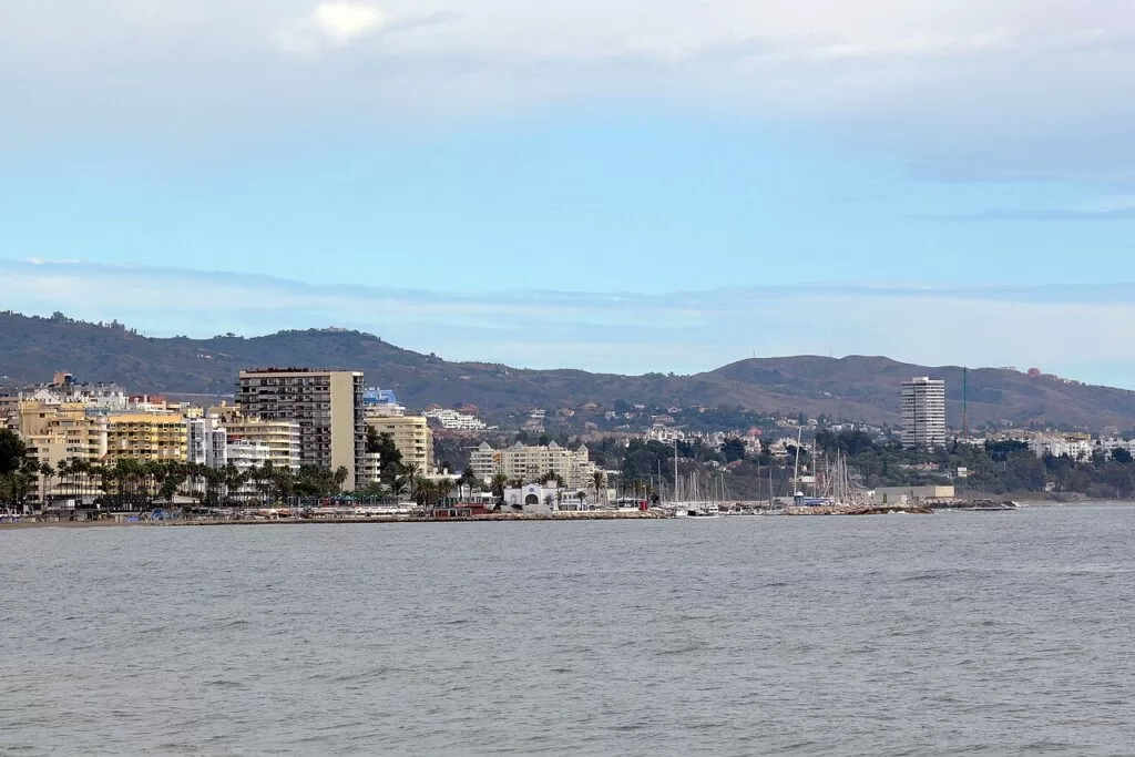
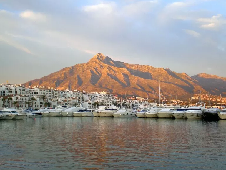
Marbella seafront and the Sierra Blanca · Photo: Harvey Barrison from Massapequa, NY, USA, CC BY-SA 2.0
Part of the Costa del Sol guide · Marbella, Mijas and Fuengirola
This is the west-central stretch of the Costa del Sol in Málaga province: the coast of Marbella, Mijas and Fuengirola, from Guadalmina and San Pedro Alcántara in the west to Fuengirola and the Benalmádena border in the east, about 36 km in a straight line. Marbella alone has 26 km of coast from Cabopino to Guadalmina (Spain.info), and the hills behind hold the white villages of Benahavís, Istán, Ojén and Mijas. This guide covers each town from west to east, the beaches, what to do, where to base yourself, how to get there and a two-day route.
At a glance
- Where the coast of Málaga province between Guadalmina (Marbella) and Fuengirola, with the Sierra Blanca and the Sierra de Mijas behind it.
- Towns San Pedro Alcántara, Puerto Banús, Marbella, Las Chapas and Cabopino, La Cala de Mijas, Fuengirola, and inland Benahavís, Istán, Ojén and Mijas Pueblo.
- Best for marinas and restaurants, an old town to walk, beaches with full services, white villages and mountain walks close to the sea.
- Getting there Málaga airport (AGP) is about 19 km from Fuengirola and 39 km from Marbella in a straight line; the C-1 train runs from the airport to Fuengirola, and buses go on to Marbella.
- On CostaMap guides to Marbella, Mijas Pueblo, Fuengirola, Benahavís, Ojén, Puerto Banús, the Marbella marina and lighthouse, Sierra Blanca, the Vega del Mar basilica, Calaburras Lighthouse, Sohail Castle and Bioparc, three campsites and, inland, Ronda.
Map of Marbella, Mijas and Fuengirola
The map shows the places on this stretch that have a CostaMap page. Tick a place type to filter, and click a marker to see the place in the panel.
Place type
Area · next level
 Area map
Marbella, Mijas and Fuengirola
Click a marker to see the place here. From San Pedro, Puerto Banús and Marbella to Mijas, Calaburras and Fuengirola, with Benahavís and Ojén in the hills.
Towns and villagesTowns and villages
From west to east along the coast, with the hill villages placed next to the coastal town you reach them from.
San Pedro Alcántara
San Pedro is the second town of the municipality of Marbella, about 10 km west of Marbella’s old town in a straight line. It grew from an agricultural colony founded by the first Marquis of Duero in 1860 to grow sugar cane and cotton; the sugar mill building still stands (Andalucía tourist board). By the sea lie Las Bóvedas, Roman baths of the 3rd century, and the early Christian Basílica de Vega del Mar, plus a 16th-century watchtower. Spain.info describes San Pedro’s beach as sandy and pleasant, 1,400 m long, with restaurants, beach bars and a promenade (Spain.info).
Benahavís
Benahavís sits about 6 km inland from San Pedro, up the Guadalmina valley. The Andalusian tourist board calls it the most mountainous municipality of the western Costa del Sol, with the rivers Guadalmina, Guadaiza and Guadalmansa, the ruins of the Montemayor castle and an old 16th-century palace (Andalucía tourist board). Most visitors come for lunch or dinner: OpenStreetMap maps 17 restaurants within about 350 m of the centre. Avanza line 33 runs up from San Pedro. See our Benahavís guide.
Puerto Banús and Nueva Andalucía
Puerto José Banús is the marina of Nueva Andalucía, about 6.5 km west of the old town. It opened in 1970 and has 915 berths, with shops and restaurants on the quays; the pontoons themselves are private (our Puerto Banús guide, from the marina’s and Turismo Marbella’s figures). Nueva Andalucía beach, beside the port, is 1,050 m of sand in four small bays made by breakwaters, so the water is usually calm (Spain.info).
Marbella
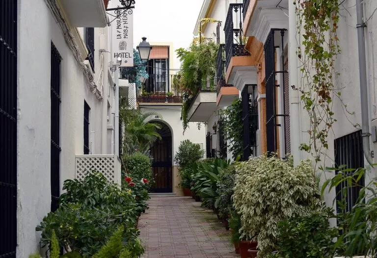
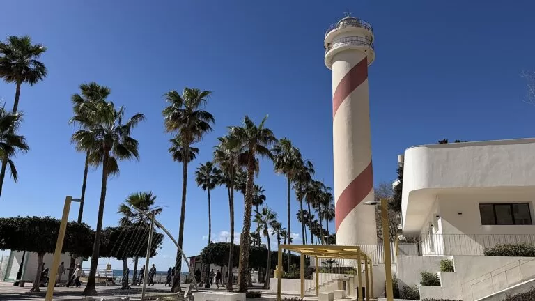
The Andalusian tourist board calls Marbella the capital of the western Costa del Sol, at the foot of the Sierra Blanca, facing the sea (Andalucía tourist board). The heart of the old town is the Plaza de los Naranjos, laid out in the 16th century after the Christian conquest of 1485, with the 16th-century town hall and the 17th-century Casa del Corregidor. The 16th-century Hospital Bazán houses the Museum of Spanish Contemporary Engraving, with works by Picasso, Miró and Dalí (Spain.info). From the old town it is about 550 m to the seafront, the Marbella Lighthouse and the Puerto Deportivo. See our Marbella town guide and Marbella place page.
Istán
Istán lies about 10 km north-west of Marbella in a straight line, up the Río Verde valley. Its steep, narrow streets of whitewashed houses with Arab-tile roofs keep the memory of its Andalusí past, best seen in the upper village, where part of a tower of the old walls survives (Andalucía tourist board). The municipality lies in the Sierra de las Nieves, which UNESCO declared a biosphere reserve. Spain.info notes that Istán is famous for its springs (Spain.info), and a signed trail, the PR-A 135, climbs from the village to La Concha. CostaMap has no separate Istán page yet.
Ojén
Ojén is about 6.5 km north of Marbella on the A-355 road towards Monda. The tourist board describes a village of stepped houses among orchards, considered one of the prettiest in Málaga province, with remains of the Castillo de Solís and a Mudéjar church of Nuestra Señora de la Encarnación (Andalucía tourist board). Above it is the Juanar valley, where a road leads to the Refugio de Juanar and the start of the Juanar – El Pozuelo trail. See our Ojén guide and the Sierra Blanca and La Concha guide.
Las Chapas, Elviria and Cabopino
East of the town, the district of Las Chapas is a long belt of housing estates and beaches, with Elviria and Artola along the coast (our Marbella guide, from Turismo Marbella). Prehistoric remains have been found at Coto de Correa in Las Chapas (Andalucía tourist board). At the eastern end, Cabopino has a small marina and a beach at the edge of the Artola dunes, a protected Natural Monument with the Torre de los Ladrones watchtower. Two campsites lie close to the sea here, Camping Marbella Playa at Artola and Camping Cabopino.
La Cala de Mijas and Calahonda
Mijas reaches the sea on the stretch called Mijas Costa. Spain.info describes La Cala as a traditional seafarers’ town that is now the centre of 12 km of beaches, among them El Farillo, Calaburras, La Butibamba, El Chaparral and La Cala (Spain.info). The tourist board recalls that General Torrijos landed with 52 men at El Charcón beach on 2 December 1831, in a failed attempt to raise Málaga against absolutism (Andalucía tourist board). The La Cala festival is on 25 July. Near Fuengirola stands the Calaburras Lighthouse, first lit in 1863.
Mijas Pueblo
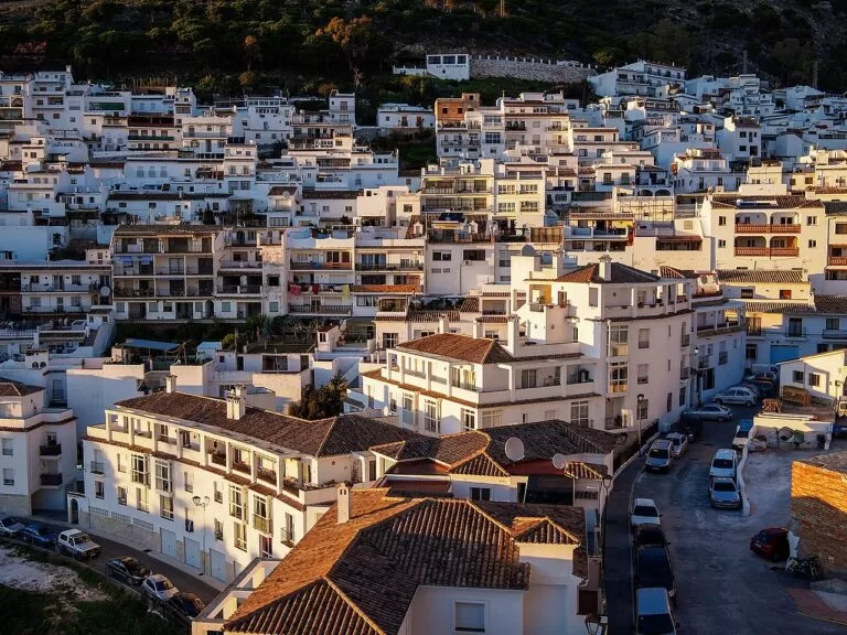
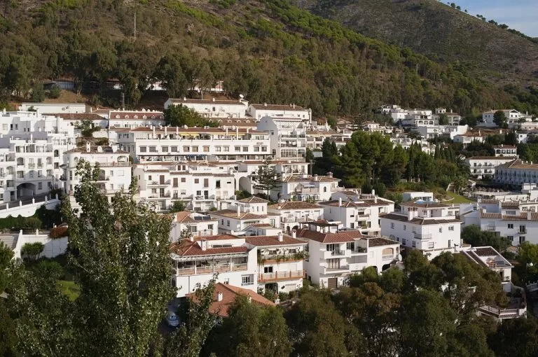
Mijas Pueblo, the old village, stands at 428 m on the slope of the Sierra de Mijas, about 11 km from the beach at La Cala in a straight line. The tourist board compares it to a balcony over the sea, with white houses against the green of the pines (Andalucía tourist board). Spain.info lists the bullring with its four-sided exterior, the 17th-century sanctuary of the Virgen de la Peña and the 16th-century church of La Concepción, with walks along the old wall and its viewpoints, and the donkey taxis (Spain.info). Bus M-122 runs up from Fuengirola. See our Mijas Pueblo guide and Mijas town guide.
Fuengirola
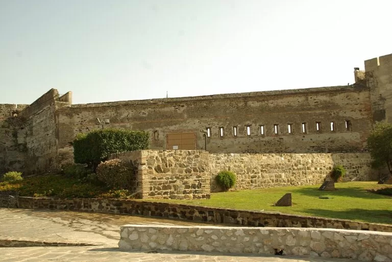
Fuengirola has one of the smallest municipalities in the province, little more than the town along about 7 km of beaches (Andalucía tourist board). On a hill by the river mouth stands Sohail Castle, built on the orders of Abd al-Rahman III in the 10th century, above the remains of the Phoenician settlement and the Roman town of Suel; Roman baths survive at Torreblanca and a Roman villa at the Finca del Secretario (Spain.info). It is the end of the C-1 train from the airport. See our Fuengirola town guide, Fuengirola place page and Bioparc Fuengirola.
Beaches and coves
From west to east. Lengths and services as Spain.info gives them, checked November 2026.
La Venus
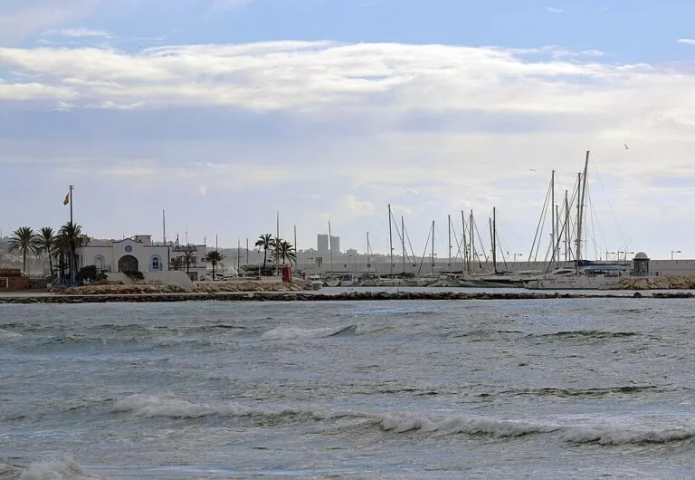
A 400 m beach of sand and gravel, 40 m wide, on the far side of the Marbella marina, with palm trees and views of the boats., with sunbeds, showers and toilets (Spain.info).
See the marina guide →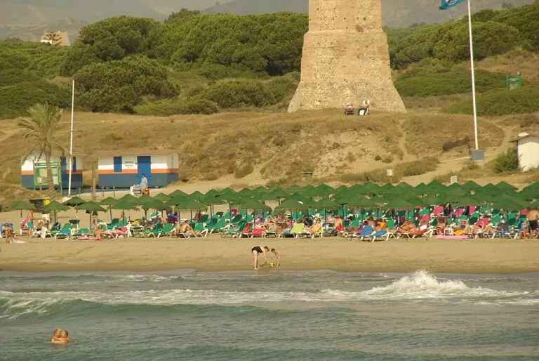
Artola and the Cabopino dunes
1,200 m of sand, 30 m wide, away from the built-up areas and running to the Cabopino marina; nudism is practised in parts (Spain.info). Behind it are the dunes of Artola, a protected Natural Monument, so keep to the paths.
Camping Cabopino →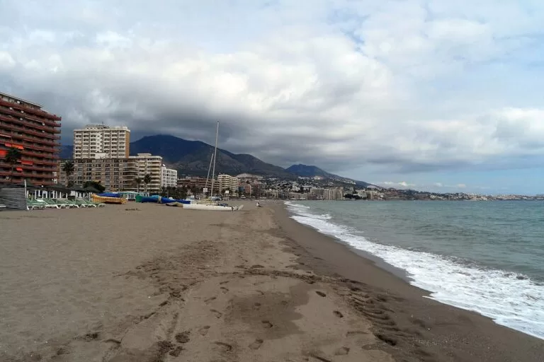
Fuengirola’s town beaches
A run of beaches along the promenade: Spain.info lists Los Boliches, Fuengirola, La Campana, Torreblanca and Las Gaviotas. Carvajal, at the eastern end, is 1,620 m long; Torreblanca 1,200 m (Spain.info; Spain.info). Fuengirola says all four of its beach zones flew the Blue Flag in 2026.
See the Fuengirola guide →- Guadalmina – 1,500 m of sand and gravel at the western end of Marbella (Spain.info).
- San Pedro Alcántara – 1,400 m of sand and gravel with a promenade, restaurants and beach bars (Spain.info).
- Nueva Andalucía – 1,050 m in four small bays protected by breakwaters, beside Puerto Banús, with wooden access ramps (Spain.info).
- La Cala de Mijas and Calaburras – the beaches of Mijas Costa, part of its 12 km of coast (Spain.info); the Senda Litoral boardwalk follows the shore near the Calaburras Lighthouse.
- El Ejido (El Castillo), Fuengirola – 800 m of sand, 50 m wide, below Sohail Castle. Before the river reaches the sea it forms a small, shallow lagoon where children swim (Spain.info).
Things to do
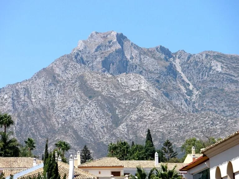
Nature: Sierra Blanca, Juanar and the dunes
The Sierra Blanca rises straight behind Marbella; its best-known peak, La Concha, is 1,215 m. The usual way in is from the Refugio de Juanar above Ojén, reached by the A-355 and then about 5 km on the MA-469, where there is parking; the circular Juanar – El Pozuelo trail passes a stand of Spanish firs and a spring where ibex drink (Andalucía tourist board). On the coast, the Artola dunes at Cabopino are a protected Natural Monument. From 1 June to 15 October all use of fire is banned in Andalusia’s forests.
History: Roman baths, castles and old towns
Spain.info lists the Roman traces around Marbella: the early Christian basilica of Vega del Mar, the Roman baths at Guadalmina and the Roman villa at Río Verde. The tourist board adds a Phoenician settlement at Río Real from around the 7th century BC (Andalucía tourist board). In Fuengirola, Sohail Castle and the Roman town of Suel sit on the hill by the river mouth; in Mijas, the coast was guarded by watchtowers, and the Torreón de La Cala is now an interpretation centre (our Mijas guide).
Food and family days
Spain.info names fried fish, sardines grilled on a spit, ajoblanco and gazpacho in Marbella and Fuengirola, and soups such as gazpachuelo in Mijas (Spain.info). For families, Bioparc Fuengirola opens every day of the year from 10:00.
Where to stay by town
The towns we would base a trip in, west to east.
Puerto Banús and San Pedro
The marina, shops and restaurants of Nueva Andalucía, or the calmer town centre and beach of San Pedro. A base for Benahavís and Ronda by car.
Marina and nightlife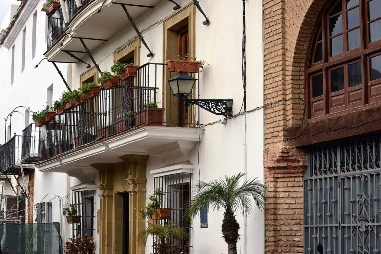
Marbella old town
Walk to dinner, the seafront and the marina. Parking in the centre is limited, and Ojén and Juanar are close by car.
Couples and short stays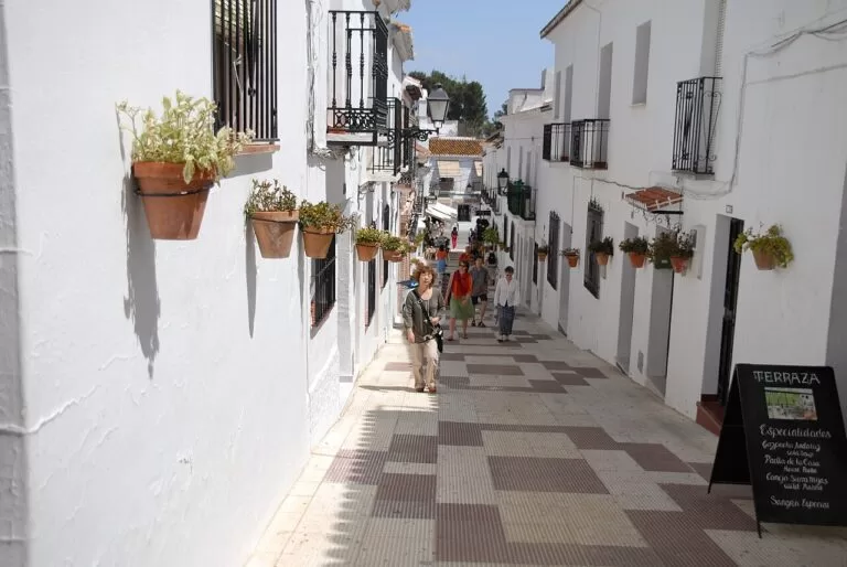
Mijas Pueblo or La Cala
The village for quiet evenings and views; La Cala for a beach week. They are about 11 km apart in a straight line, so choose one.
Views or beach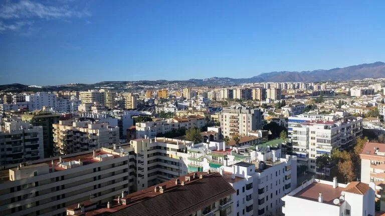
Fuengirola
The end of the C-1 train from the airport, with a long promenade, town beaches and Bioparc. Works well without a car.
Families without a carCampers have three sites near the sea: Camping Cabopino, Camping Marbella Playa and the Costa del Sol Glamping Village in Fuengirola.
Getting there and around
By air
Málaga-Costa del Sol airport (AGP) is the airport for this stretch: about 19 km from Fuengirola and 39 km from Marbella in a straight line (our calculation from coordinates).
By train and bus
The C-1 Cercanías train runs from Málaga via the airport to Fuengirola, about 34 minutes from the airport (Aena, as given in our Costa del Sol guide). There is no train west of Fuengirola: Avanza runs buses from the airport to Marbella, line M-122 links Fuengirola with Mijas Pueblo, line M-220 runs between Marbella and Fuengirola along the old N-340, and line 33 links San Pedro with Benahavís. Check times before you travel.
By car
The A-7 coast road and the AP-7 toll motorway run the length of the stretch. The A-387 climbs to Mijas Pueblo, the A-355 to Ojén, and the A-397 from San Pedro to Ronda.
A two-day route
By car, west to east. Day 1 covers about 22 km in straight-line legs from Benahavís to Ojén; day 2 about 23 km from Cabopino via Mijas Pueblo to Fuengirola.
Day 1
Benahavís, Puerto Banús and Marbella
Start in Benahavís with a short walk before the heat. Drive down to San Pedro for the Vega del Mar basilica if it is a visiting day, then on to Puerto Banús to walk the quays. In the afternoon walk Marbella’s old town from the Plaza de los Naranjos to the church of the Encarnación, and finish on the seafront by the lighthouse and the marina.
Day 2
Cabopino, Mijas and Fuengirola
Begin at Cabopino with a walk along the beach and the edge of the Artola dunes to the Torre de los Ladrones watchtower. Then climb to Mijas Pueblo for the wall walk, the Virgen de la Peña and lunch. Come down to Fuengirola in the afternoon: walk up to Sohail Castle and along the promenade, or spend the afternoon in Bioparc.
FAQ
Is Marbella or Fuengirola better for a holiday?
Fuengirola if you want to travel without a car: the C-1 train reaches it from the airport in about 34 minutes and the beaches are in town. Marbella if you want an old town, marinas and restaurants, and do not mind buses or a car.
How do you get from Málaga airport to Marbella?
Avanza runs buses from the airport to Marbella bus station. By car, follow the A-7 or the AP-7 toll motorway west; the airport is about 39 km from Marbella in a straight line.
How far is Mijas Pueblo from Fuengirola?
About 7 km in a straight line. Bus M-122 runs up from Fuengirola, and by car the A-387 climbs to the village.
What are the best beaches between Marbella and Fuengirola?
Artola at Cabopino for dunes and fewer buildings, La Venus beside Marbella’s marina for a town beach, Nueva Andalucía by Puerto Banús for calm water, and Fuengirola’s long promenade beaches for full services.
Which white villages are near Marbella?
Ojén, Istán, Benahavís and, further east, Mijas Pueblo. Ronda is a longer day trip on the A-397.
Other areas of the Costa del Sol
Costa del Sol
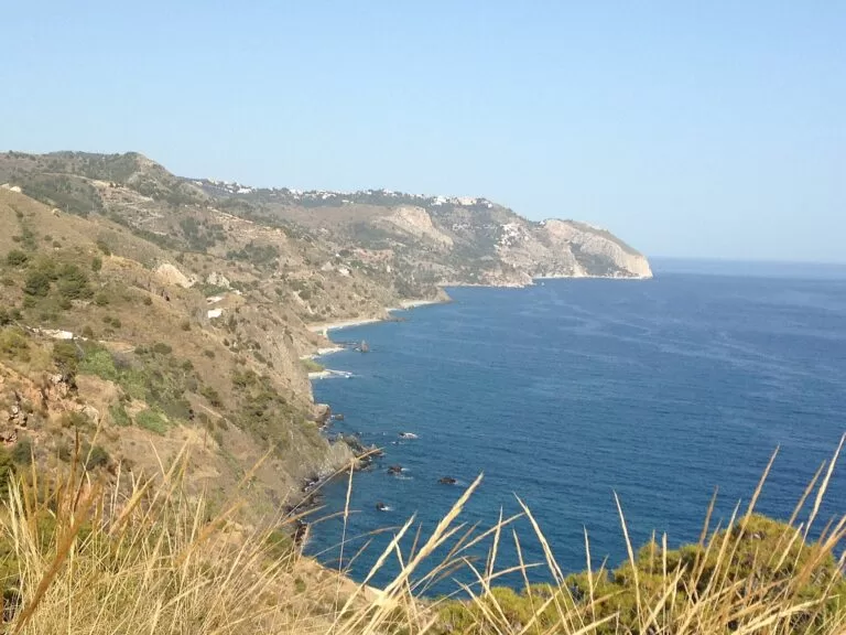
More than 150 km of Málaga’s coast, from Manilva to Nerja, with the map, beaches, weather and itineraries.
Costa del Sol guide →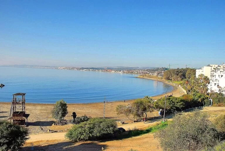
Estepona, Manilva and Casares
La Rada and El Cristo beaches, the Castillo de la Duquesa and the hill village of Casares, towards the Cádiz border.
West Costa del Sol guide →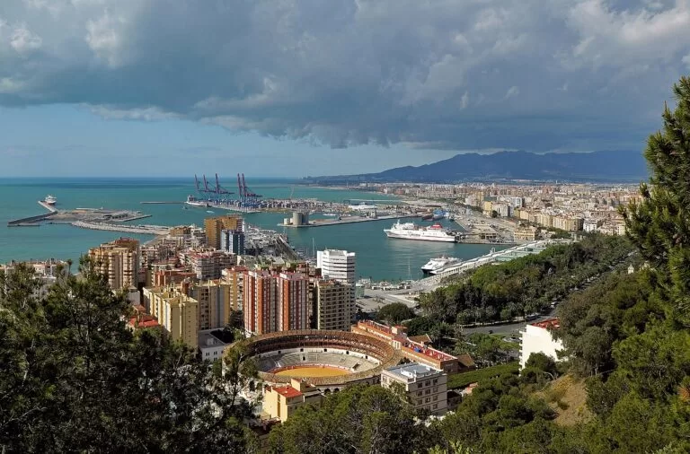
Málaga and the central Costa del Sol
Benalmádena, Torremolinos and Málaga city around the airport, all on the C-1 train.
Málaga area guide →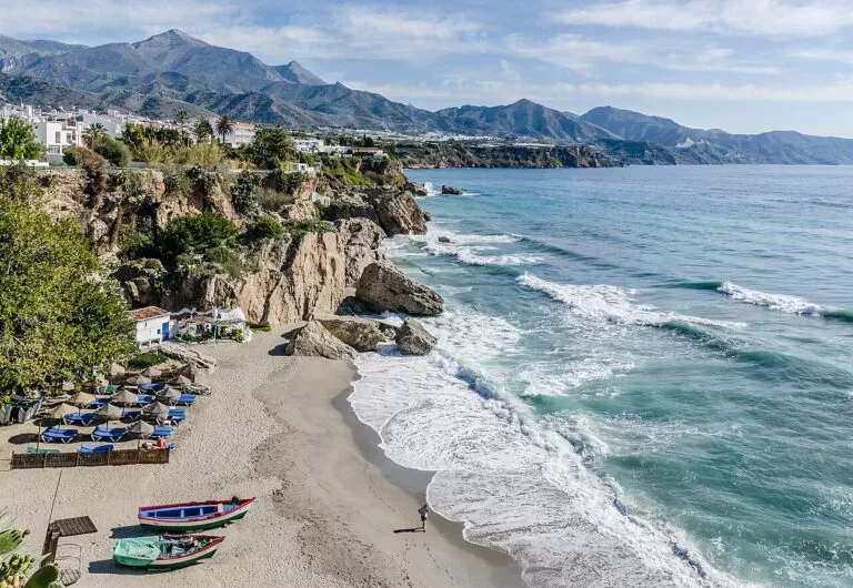
The Axarquía coast and Nerja
Long dark-sand beaches east of Málaga, then the coves, caves and cliffs around Nerja and Maro.
Axarquía and Nerja guide →Inland, Ronda and its gorge are reached from San Pedro Alcántara by the A-397, about 36 km north-west of Marbella in a straight line.
Sources and freshness
Checked 7 November 2026. Andalucía tourist board (Spanish) on Marbella, San Pedro Alcántara, Benahavís, Istán, Ojén, Mijas and Fuengirola, and the Juanar – El Pozuelo trail. Spain.info on Marbella, Mijas and Fuengirola, and the beaches of Guadalmina, San Pedro Alcántara, Nueva Andalucía, La Venus, Artola, El Ejido, Torreblanca and Carvajal (linked above). Facts on Puerto Banús, Mijas Pueblo, Calaburras, Sohail Castle, Bioparc, bus lines, Blue Flags and train times come from the official sources cited on the CostaMap pages linked above (Turismo Marbella, Turismo de Mijas, Fuengirola town council, Aena). Map data and straight-line distances: OpenStreetMap. The visitcostadelsol.com site blocked our research tools. Not confirmed: bus times, museum hours and the size of the Artola dunes.