
Costa de la Luz · South
La Janda: Chiclana, Conil, Vejer and Barbate travel guide: beaches, cliffs and tuna towns
Wide Atlantic beaches from La Barrosa to Zahara de los Atunes, the white hill town of Vejer above them, the pine-topped cliffs of La Breña and the almadraba tuna ports of Conil and Barbate.
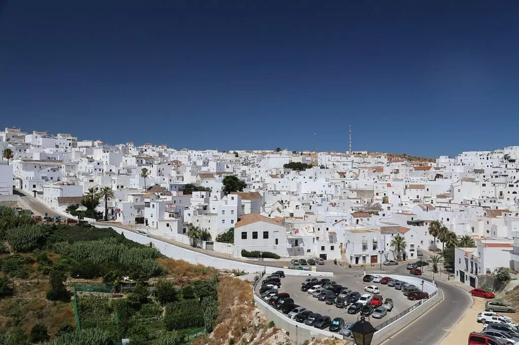
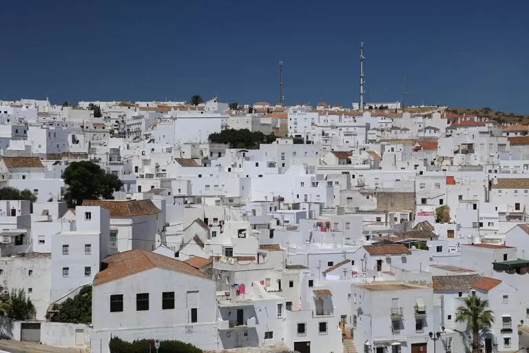
Vejer de la Frontera · Photo: logopop, CC BY-SA 3.0
Part of the Costa de la Luz guide · South: beaches and tuna
La Janda is the southern Atlantic coast of Cádiz province between the Bay of Cádiz and the Strait: about 43 km in a straight line from Sancti Petri in Chiclana de la Frontera to Zahara de los Atunes in Barbate. It runs through four municipalities, Chiclana, Conil de la Frontera, Vejer de la Frontera and Barbate, with long open beaches, the protected pine forest and cliffs of La Breña, and Vejer on its hill about 8 km from the sea.
At a glance
- Where the Atlantic coast of Cádiz province from the Sancti Petri channel, south of San Fernando, to Zahara de los Atunes and the Cabo de Plata, where the Tarifa coast begins.
- Towns Chiclana de la Frontera with Sancti Petri and Novo Sancti Petri, Conil de la Frontera with Roche, El Palmar, Vejer de la Frontera, Los Caños de Meca and Zahora, Barbate and Zahara de los Atunes.
- Best for long sandy beaches, surfing and windsurfing, cliff walks, a white hill town, and almadraba tuna.
- Getting there Jerez airport (XRY) is about 37 km from Chiclana and 52 km from Conil, Gibraltar (GIB) about 52 km from Barbate, in a straight line. The A-48 dual carriageway runs from San Fernando past Chiclana and Conil to Vejer.
- On CostaMap the four towns, La Barrosa, Fontanilla, Los Bateles, El Palmar, Zahara, Los Caños de Meca, Cape Trafalgar, the Sancti Petri castle, La Breña natural park and the Torre del Tajo walk.
Map of La Janda: Chiclana to Barbate
The map shows the places on this stretch that have a CostaMap page. Tick a place type to filter, and click a marker to see the place in the panel.
Place type
Area · next level
 Area map
La Janda: Chiclana, Conil, Vejer and Barbate
Click a marker to see the place here. From La Barrosa and Sancti Petri past Conil and El Palmar to Trafalgar, Barbate and Zahara, with Vejer inland.
Towns and villagesTowns and villages
From north-west to south-east. Facts are from Andalucía.org, the official tourism site of the Junta de Andalucía, and spain.info unless another source is named.
Chiclana de la Frontera and Sancti Petri
Chiclana is the largest town of this stretch, 22 km from Cádiz (spain.info). Most of the municipality lies inside the Bahía de Cádiz Natural Park, including the tidal marsh of Sancti Petri, one of the few in the bay never turned into salt pans. The white town centre has the hermitage of Santa Ana and the church of San Juan Bautista. On the coast, the long beach of La Barrosa runs to the old fishing village of Sancti Petri, where tradition places the Phoenician temple of Melqart, later linked with Hercules, on the islet now crowned by the Castle of Sancti Petri. Chiclana was founded in 1303 by Alonso Pérez de Guzmán, and Andalucía.org calls it one of the cradles of flamenco singing (Andalucía.org). See our Chiclana de la Frontera guide and the Chiclana place page.
Novo Sancti Petri and Roche
South of La Barrosa the coast is lined with holiday developments among pines. Spain.info says La Barrosa continues into the quieter beaches of La Loma del Puerco and Novo Sancti Petri. Across the municipal border in Conil, the residential area of Roche sits in a pine forest above a run of small cliff coves. Andalucía.org describes Playa Roche as a long beach of fine sand among single-family houses with few services, and Roche-Puerco, beside the Torre del Puerco, as an unspoilt, quiet beach reached by a steep earth ramp.
Conil de la Frontera
Conil is a fishing and holiday town on a low rise above the sea. Phoenicians and Romans set up the first almadrabas, the tuna traps, here; after the 13th-century conquest the town passed to Alonso Pérez de Guzmán, who held the tuna monopoly (Andalucía.org). Its landmarks are the 14th-century Torre de Guzmán, the Baroque church of La Misericordia and the church of Santa Catalina (spain.info). The town beach, Playa de los Bateles, lies right below the old town, with La Fontanilla to the north. See our Conil de la Frontera guide and the Conil place page.
El Palmar
El Palmar is the beach of Vejer municipality, north-west of Cape Trafalgar. Its beach is 3,300 m of open golden sand with moderate waves and frequent wind; spain.info says most accommodation is campsites and apartments by the beach, used by surfers and windsurfers (spain.info). In the past the Dukes of Medina Sidonia had a tuna fishery here, protected from corsairs by coastal towers (Andalucía.org). See our Playa El Palmar guide.
Vejer de la Frontera
Vejer stands on a hill above the Barbate valley, built around its castle. Andalucía.org highlights its walls, the church of the Divino Salvador, the Arco de la Judería and narrow streets of white houses; it was declared a Historic-Artistic Site in 1976 and won the first National Prize for the embellishment of towns in 1978. It was once called Vejer de la Miel for its many beehives (Andalucía.org). Spain.info adds the Arco de Segur and the sanctuary of Nuestra Señora de la Oliva. See our Vejer de la Frontera guide and the Vejer place page.
Los Caños de Meca and Zahora
Two small beach villages in Barbate municipality on either side of Cape Trafalgar. The Battle of Trafalgar was fought off Los Caños in 1805, when Nelson’s fleet defeated the French and Spanish (Andalucía.org). At Los Caños the cliff of La Breña begins and fresh water runs down the rock into the sea, which spain.info describes as small waterfalls. See our guides to Los Caños de Meca and Cabo de Trafalgar.
Barbate
Barbate is the tuna port of this coast. Andalucía.org says its shore has been the most important for tuna fishing since antiquity, with the Roman port of Baesippo at the mouth of the Barbate river, and that fishing is still an important activity. The town has a regular layout and a quiet feel, with the Castillo de la Almadraba and the ruins of the Visigothic church of San Ambrosio. It belonged to Vejer until the 20th century. Behind it lie the marshes of the Barbate river and, to the west, the cliffs and pines of La Breña y Marismas del Barbate Natural Park (Andalucía.org). See our Barbate guide and the Barbate place page.
Zahara de los Atunes
Zahara is a fishing village in Barbate municipality, at the south-eastern end of this stretch; Andalucía.org notes that Miguel de Cervantes worked in its castle. Its beach runs from the village to the Cabo de Plata, with the Atlanterra development along it: 1,111 m by 122 m of golden sand, with lifeguard towers, rental of sunshades and loungers, and access for people with disabilities (Andalucía.org). See our Playa de Zahara de los Atunes guide.
Beaches and coves
Open Atlantic beaches of golden sand, most of them long and windy, with small coves under the cliffs at Roche and Los Caños. Lengths are from Andalucía.org and spain.info, which sometimes differ.
La Barrosa
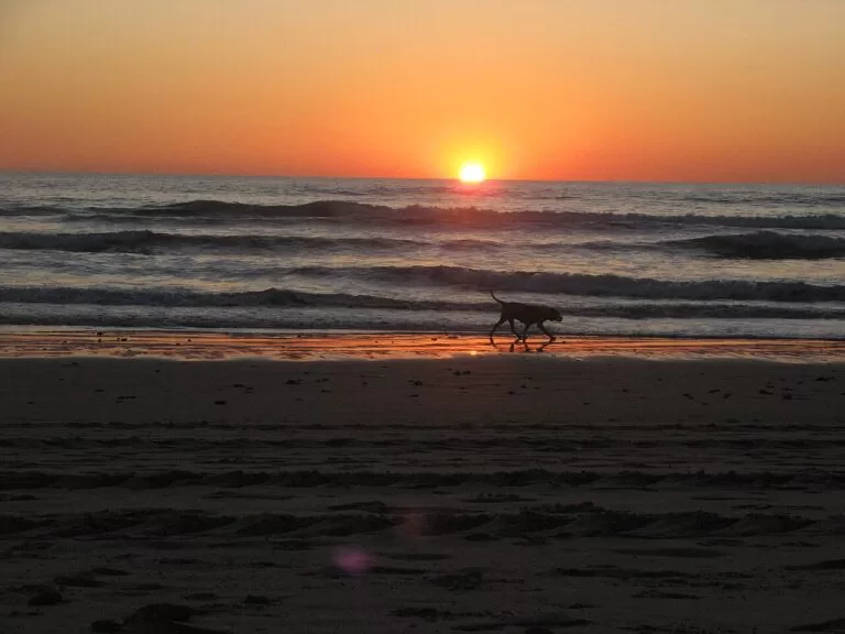
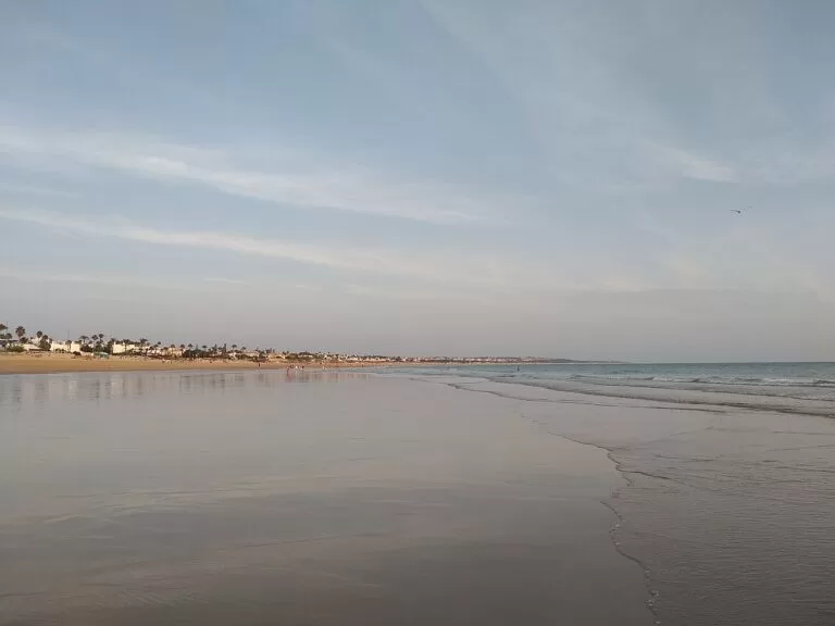
An urban beach of 5,350 m by 120 m with promenade, lifeguards and full services (Andalucía.org). Sancti Petri beach at its northern end is good for windsurfing near the fishing port.
See the La Barrosa guide →Los Bateles and La Fontanilla
Conil’s town beaches below the old town: Los Bateles is 1,300 m by 130 m with lifeguards, toilets and a play area (Andalucía.org); La Fontanilla follows to the north.
See the Los Bateles guide →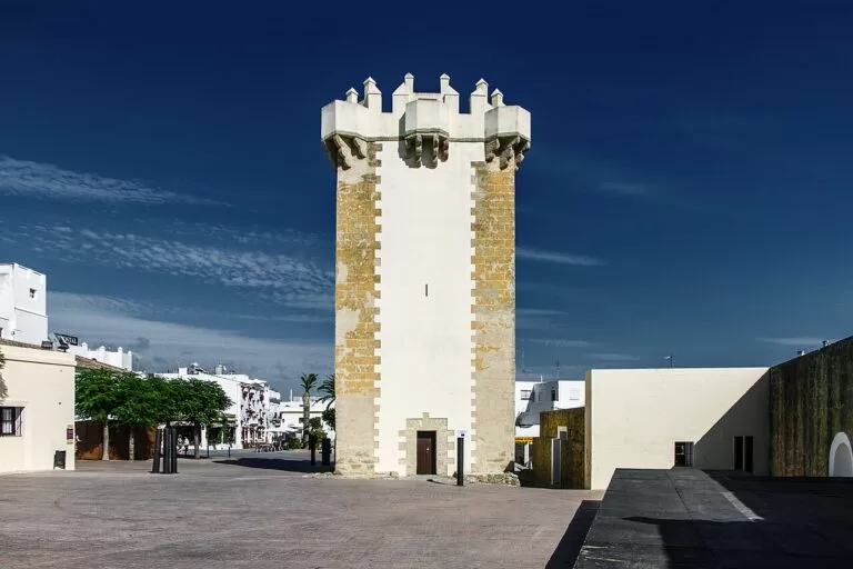
Fuente del Gallo and the Roche coves
Fuente del Gallo runs below a steep cliff and its sand disappears completely at high tide (Andalucía.org). Spain.info recommends it and the Roche coves when the Levante blows, as the cliffs give shelter.
See the La Fontanilla guide →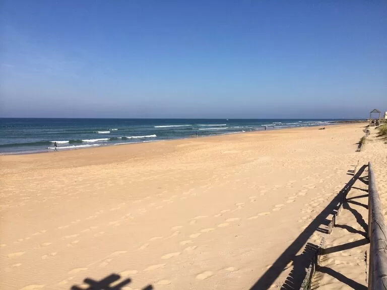
Castilnovo and El Palmar
South of Conil, Castilnovo is 2,900 m of wild, undeveloped beach with strong waves and wind (Andalucía.org). El Palmar follows with 3,300 m of surf beach (spain.info).
See the El Palmar guide →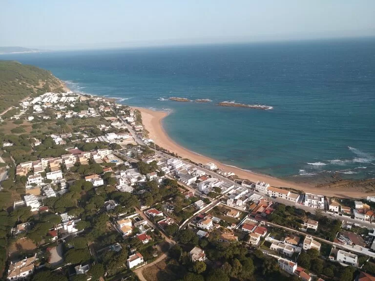
Los Caños de Meca and Hierbabuena
Coves and beaches under the Breña cliffs. Hierbabuena, next to Barbate port, has 1,006 m of sand between dunes, cliff and pines; dogs are allowed from 1 October to 31 May (Andalucía.org).
See the Los Caños de Meca guide →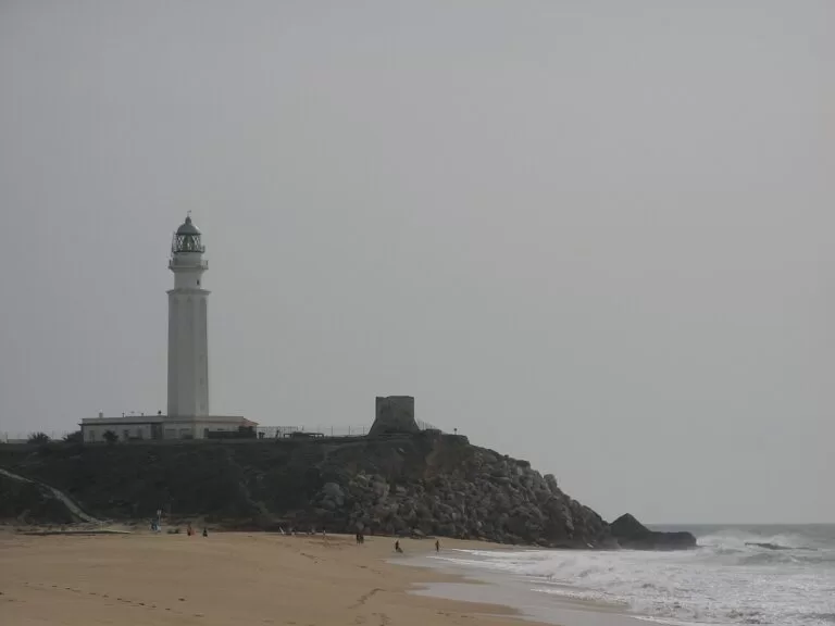
El Carmen and Zahara
Barbate’s town beach, Nuestra Señora del Carmen, is 1,600 m long beside the port and promenade, with lifeguards and dogs allowed in winter (Andalucía.org). Zahara’s beach runs south to the Cabo de Plata.
See the Zahara guide →Things to do
Nature: cliffs, pines and marshes
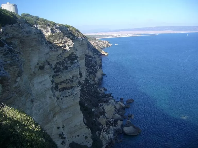
La Breña y Marismas del Barbate Natural Park, protected since 1989, covers 5,077 ha between Barbate and Los Caños de Meca: a pine forest on a cliff of 90 to almost 100 m and the marshes of the Barbate river (spain.info). The 7.2 km Sendero del Acantilado follows the cliff top past the Torre del Tajo (Andalucía.org). In the north, the Sancti Petri marshes at Chiclana are a special protection area for birds (Andalucía.org).
History: Phoenicians, Trafalgar and Vejer
The Castle of Sancti Petri stands on the islet where tradition places the temple of Melqart (Andalucía.org). Vejer’s walled old town is a Historic-Artistic Site; Conil keeps the Torre de Guzmán. Off Cape Trafalgar, Nelson’s fleet defeated the French and Spanish in 1805, and the park information point at Barbate marina explains the battle (spain.info). Near Vejer, the NMAC Foundation shows contemporary art at Montenmedio (spain.info).
Food: almadraba tuna and fried fish
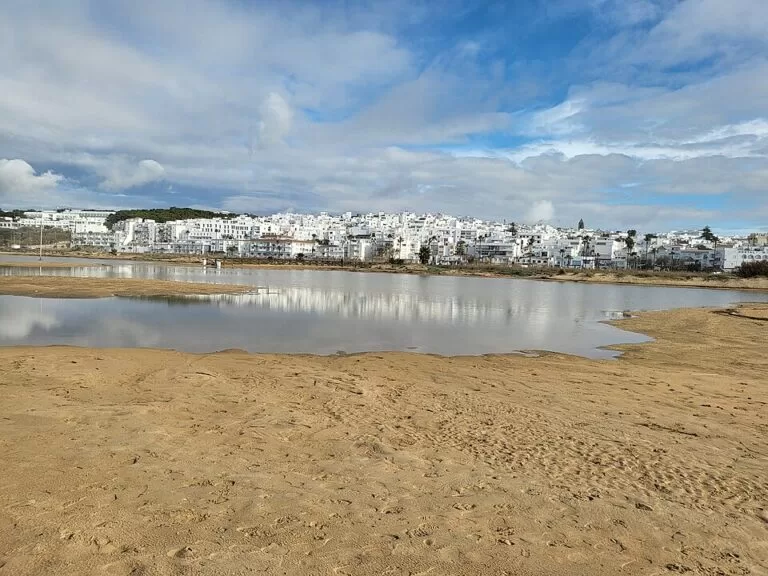
Tuna is caught here with the almadraba, a maze of fixed nets that Phoenicians and Romans already used on this coast (Andalucía.org). In Conil, the old La Chanca tuna site holds an interpretation centre on the sea, tuna and the almadrabas (OpenStreetMap), and the park information point in Barbate runs guided visits to the fish canneries (Andalucía.org). Many beach bars and restaurants open only from May to October (spain.info).
Where to stay by town
The main bases, north to south. All four towns have hotels, apartments and campsites; book early for July and August.
Chiclana: La Barrosa and Novo Sancti Petri
Resort hotels and apartments along a long, serviced beach, closest to Cádiz and Jerez airport. Good for families who want everything on site; the town centre is a drive away.
Beach resortConil de la Frontera
A real town with an old centre on the beach, restaurants and a town bus to the beaches. The best base without a car; lively in summer.
Town and beach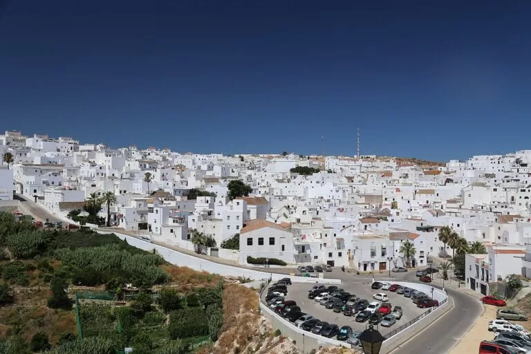
Vejer de la Frontera
Small hotels and houses in a historic hill town, cooler in the evenings. You need a car for the beaches of El Palmar, Los Caños and Barbate.
Old townEl Palmar, Los Caños and Zahara
Campsites, apartments and small hotels by the sand (spain.info), for surfers and people who want to wake up on the beach. Quiet out of season, when many places close.
Surf and natureGetting there and around
By air
Jerez airport (XRY) is the closest: about 37 km from Chiclana, 52 km from Conil and 63 km from Barbate in a straight line. Gibraltar (GIB) is about 52 km from Barbate and 45 km from Zahara, and Seville (SVQ) about 113 km from Chiclana. Road distances are longer.
By car
The A-48 dual carriageway runs from San Fernando past Chiclana and Conil to Vejer; spain.info names it as the main road for El Palmar. The A-2233 runs along the coast through Los Caños de Meca to Barbate (OpenStreetMap). A car is the easiest way to reach the beaches outside the towns.
By bus
Regional coaches of Transportes Generales Comes serve the coast, and Conil runs a town bus to its beaches (OpenStreetMap). Check timetables before you travel, as summer and winter services differ.
A two-day route
By car, north to south, with a night in Conil or Vejer.
Day 1
Sancti Petri, Roche and Conil
Start at the fishing village of Sancti Petri for the view of the castle on its islet, then walk a stretch of La Barrosa. Drive south to the coves of Roche, or to Fuente del Gallo if the Levante is blowing. Spend the afternoon in Conil: the Torre de Guzmán, the old town and La Chanca, then sunset on Los Bateles.
Day 2
Vejer, La Breña and Zahara
Walk Vejer’s old town early, before the heat. Drive down to Barbate and walk the cliff path from Hierbabuena to the Torre del Tajo and back. Have lunch in Barbate, then drive to Cape Trafalgar and Los Caños de Meca, and end the day on the beach at Zahara de los Atunes.
FAQ
What is La Janda in Cádiz?
La Janda is a county (comarca) of Cádiz province around Vejer, named after a large lagoon that was drained in the mid-20th century. On CostaMap the La Janda coast means the beaches from Sancti Petri in Chiclana to Zahara de los Atunes in Barbate.
Should I stay in Conil or Vejer?
Conil if you want to walk to the beach and need no car; Vejer if you prefer a quiet historic hill town and are happy to drive to the sea, about 8 km away.
What is the best beach between Conil and Barbate?
It depends on the wind. El Palmar and Castilnovo are long open beaches for surf and space; the Roche coves and Fuente del Gallo are sheltered by cliffs on Levante days (spain.info); Los Caños de Meca and Hierbabuena have pines and cliffs behind them.
How do I get from Jerez airport to Conil?
By car, drive south towards Cádiz and take the A-48 dual carriageway from San Fernando to Conil; the airport is about 52 km away in a straight line. Coaches also run via Cádiz; check current times.
Is Zahara de los Atunes part of Barbate?
Yes. Zahara de los Atunes and Los Caños de Meca are both in Barbate municipality (Andalucía.org).
Is the Costa de la Luz windy?
Often. Spain.info warns that the coast occasionally has strong winds, the easterly Levante, and El Palmar, Los Bateles and Fuente del Gallo are all listed as surf or windsurf beaches. On Levante days choose a beach sheltered by cliffs, such as the Roche coves.
Other areas of the Costa de la Luz
Costa de la Luz
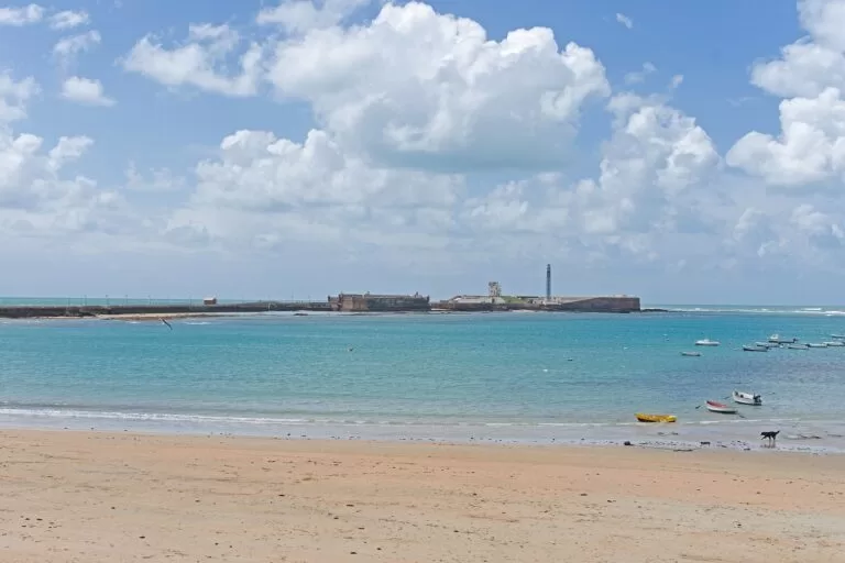
The whole Atlantic coast of Huelva and Cádiz from the Portuguese border to Tarifa, with the map, the four areas and the inland day trips.
Costa de la Luz guide →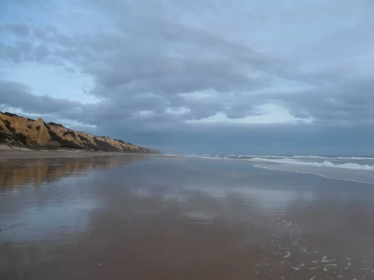
Huelva coast: Ayamonte to Moguer
Long, low beaches from the Portuguese border to the Huelva estuary, with marshes, pine woods and the Columbus sites.
Huelva coast guide →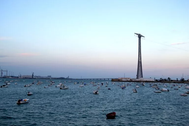
Sherry coast and the Bay of Cádiz
Sanlúcar and its manzanilla, Chipiona, Rota, El Puerto de Santa María, Cádiz and San Fernando, just north of Chiclana.
Sherry coast and Bay of Cádiz guide →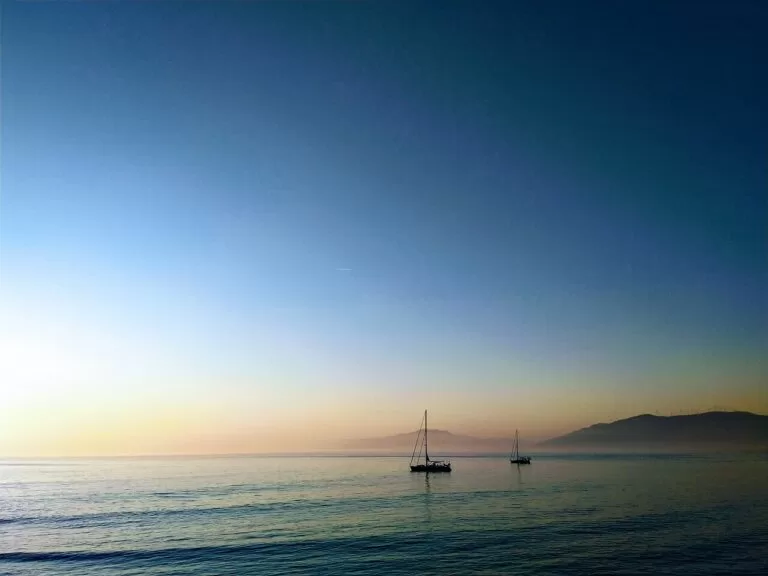
Tarifa and the Strait of Gibraltar
South-east of Zahara: the kitesurf beaches of Tarifa, Bolonia and Baelo Claudia, Algeciras and La Línea.
Tarifa and the Strait guide →Sources and freshness
Checked 7 November 2026. Andalucía.org (Junta de Andalucía tourism) on Chiclana de la Frontera, Conil de la Frontera, Vejer de la Frontera, Barbate, La Breña y Marismas de Barbate, Marismas de Sancti Petri, Sendero del Acantilado and the beaches of La Barrosa, Sancti Petri, Roche, Roche-Puerco, Fuente del Gallo, Los Bateles, Castilnovo, Hierbabuena, El Carmen and Zahara de los Atunes. Spain.info on Chiclana, Conil, Vejer, El Palmar, La Breña natural park and the Cádiz coast. OpenStreetMap for roads, bus stops, La Chanca and straight-line distances. Photos from Wikimedia Commons; authors and licences are given in the captions and on each photo’s Commons page.