
Costa de la Luz · West · Huelva
The Huelva coast travel guide: Ayamonte to Mazagón, Doñana and El Rocío
Long beaches of fine sand from the Portuguese border to Doñana, marshes full of birds, fishing ports, and the places where Columbus prepared his voyage.
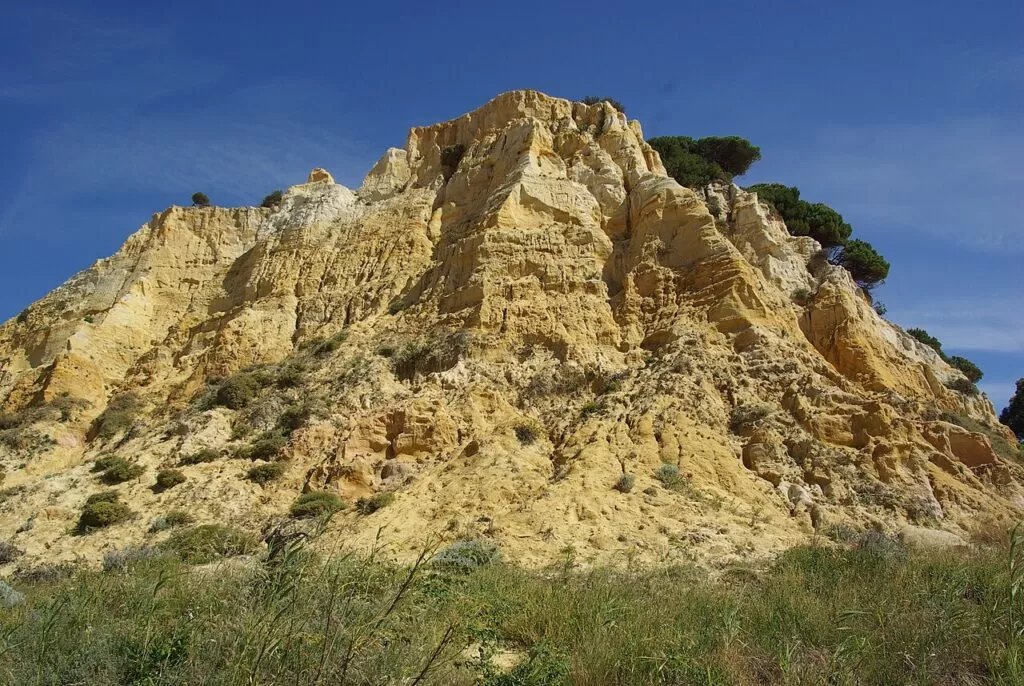
Fossil dunes at Mazagón · Photo: Concepcion AMAT ORTA…, CC BY 3.0
Part of the Costa de la Luz guide · Huelva coast: Ayamonte to Moguer
The Huelva coast is the western end of the Costa de la Luz: the Atlantic shore of Huelva province, about 80 km in a straight line from Ayamonte on the Guadiana, at the Portuguese border, to Matalascañas at the edge of Doñana. It runs through Ayamonte, Isla Cristina, Lepe, Cartaya, Punta Umbría, Aljaraque, the city of Huelva, Palos de la Frontera, Moguer and Almonte, with long beaches of fine sand, pine woods, river mouths and marshes.
At a glance
- Where Huelva province, from the mouth of the Guadiana at Ayamonte to Matalascañas and the beaches of Doñana, which continue to the mouth of the Guadalquivir opposite Sanlúcar.
- Towns Ayamonte, Isla Canela, Isla Cristina, Islantilla, La Antilla, El Rompido, Punta Umbría, Huelva, Palos de la Frontera, Mazagón and Matalascañas; inland Lepe, Cartaya, Moguer, Almonte and El Rocío.
- Best for long, quiet family beaches, birdwatching in the Odiel marshes and Doñana, the Columbus sites, seafood and the Romería of El Rocío.
- Getting there Faro airport (FAO) is about 54 km from Ayamonte and Seville airport (SVQ) about 95 km from Huelva, in a straight line; the A-49 motorway links Seville, Huelva and Portugal.
- On CostaMap eleven town guides, six beach and nature guides, the new guides to La Rábida, the Muelle de las Carabelas and El Rocío, and campsites.
Map of the Huelva coast
The places on the Huelva coast with a CostaMap page, with campsites and inland towns. Tick a place type to filter, and click a marker to see the place in the panel.
Place type
Area · next level
 Area map
The Huelva coast
Click a marker to see the place here. From Ayamonte and Isla Cristina to Huelva, Mazagón, Matalascañas and El Rocío.
Towns and villagesTowns and villages
From west to east, drawing on Andalucía.org and spain.info, the official tourism sites.
Ayamonte and Isla Canela
Ayamonte is the last town of the province, on the Guadiana opposite Portugal. Andalucía.org describes a fishing town with a sheltered river port and a Parador on the ruins of the old castle. Its churches and casas de indianos, built by emigrants back from the Americas, are the main sights. A bridge to Portugal was finished in 1992, but the ferry across the river still runs (Andalucía.org). The beaches of Isla Canela and Punta del Moral are about 5 km from the town (spain.info). See our Ayamonte guide.
Isla Cristina
Isla Cristina is a young town: Catalan and Levantine fishermen founded it in the 18th century as the Real Isla de la Higuerita,. Around 1834 it took its present name in thanks to Queen María Cristina for her help during a cholera epidemic (Andalucía.org). It is known for salted and canned fish, its carnival and the protected marshes of Isla Cristina (spain.info). See our Isla Cristina guide and the Camper Park Playas de Luz.
Lepe, La Antilla and Islantilla
Lepe lies a few kilometres inland. Andalucía.org calls it Spain’s leading grower and exporter of strawberries, and a town famous for its sense of humour; the fishing port of El Terrón is a few kilometres away (Andalucía.org). On the coast, La Antilla keeps old houses right on the beach (Andalucía.org). Next door, Islantilla is a resort of hotels, apartments and a golf club shared by Lepe and Isla Cristina (Andalucía.org). See our Lepe guide and Playa de Islantilla.
Cartaya and El Rompido
Cartaya sits on the Piedras river, with a castle built in 1453. Its land includes the Laguna de El Portil nature reserve and, shared with Lepe, the Paraje Natural of the Río Piedras marshes and the Flecha del Rompido (Andalucía.org). El Rompido, Cartaya’s village on the coast, began as a fishing settlement at the river mouth and has two lighthouses (Andalucía.org). See our Cartaya guide and the Flecha del Rompido.
Punta Umbría and El Portil
Punta Umbría faces Huelva across the Odiel. It began with a watchtower; in 1896 the English of the Río Tinto mining company built wooden colonial-style chalets here for their managers, and it became a municipality of its own in 1959 (Andalucía.org). In summer, boats called canoas still cross to Huelva (spain.info). See our Punta Umbría guide and Playa de la Bota.
Aljaraque
Aljaraque is the municipality between Punta Umbría and the Odiel, with wide pine woods near the Odiel marshes. It was a Punic trading post on the Huelva estuary, (Andalucía.org) (Andalucía.org). See our Aljaraque guide.
Huelva
The provincial capital stands on the tongue of land where the Tinto and the Odiel meet. Spain.info calls it the centre of the Tartessian civilisation more than 2,500 years ago; the Romans called it Onuba (spain.info). The Reina Victoria quarter, in English style, and the old ore pier recall the British mining companies (Andalucía.org). At Punta del Sebo, the large Columbus monument by the American sculptor Whitney dates from 1929 (spain.info). See our Huelva guide and the Marismas del Odiel.
Palos de la Frontera and La Rábida
Columbus’s three ships sailed from the port of Palos on 3 August 1492 and came back on 15 March 1493; the Pinzón brothers, who captained two of them, were born here (Andalucía.org). Facing the Mudéjar door of the 14th-century church of San Jorge, a monolith lists the seventy sailors of Palos who took part, and La Fontanilla, a Mudéjar fountain, is where the caravels took on water. (spain.info). See our Palos de la Frontera guide, the Monastery of La Rábida and the Muelle de las Carabelas.
Moguer
Moguer, on the Tinto, is where Columbus made a vow in the monastery of Santa Clara, and the birthplace of the Nobel prize-winning poet Juan Ramón Jiménez, whose house-museum can be visited (Andalucía.org). Santa Clara, Gothic and Mudéjar, was built between the 14th and 16th centuries and declared a national monument in 1931 (spain.info). See our Moguer guide.
Mazagón
Mazagón belongs to Moguer: a spread-out resort, busy in summer and very quiet in winter, with low buildings and a marina (Andalucía.org). Its beaches include Rompeculos, Torre del Loro and the Playa del Parador, which has had a Blue Flag every year since 1995 (Andalucía.org, Moguer). Pine-topped cliffs of fossil dunes rise behind the sand. See our Playa de Mazagón guide.
Matalascañas
Matalascañas is Almonte’s resort on the coast, next to Doñana, a major holiday centre with many second homes (Andalucía.org). Its beach is family-friendly, with a pedestrian promenade, and joins the Doñana beaches to the east, which you can reach on foot (spain.info). See our Playa de Matalascañas guide.
Almonte and El Rocío
Almonte, inland in the Condado, holds most of Doñana National Park within its boundaries, as well as El Rocío and Matalascañas (Andalucía.org). El Rocío, 15 km from Matalascañas, is a village of white houses and sand streets around the shrine of the Virgen del Rocío, on the edge of the marsh; more than a million people come at Pentecost for the Romería (Andalucía.org). See our new El Rocío guide, the Almonte guide and Doñana National Park.
Inland from the coast
Bollullos Par del Condado is a wine town of the Condado, whose wines have a Protected Designation of Origin (spain.info). Further north, El Campillo is a mining town by the Riotinto Mining Park, where a train, a museum and a mine tell the story of the mines (spain.info). For a campsite inland, see Camping Global Tribe near Almonte and Camping El Madroñal in the hills.
Beaches and coves
No coves here: long, straight sandy beaches broken by river mouths. Lengths from spain.info.
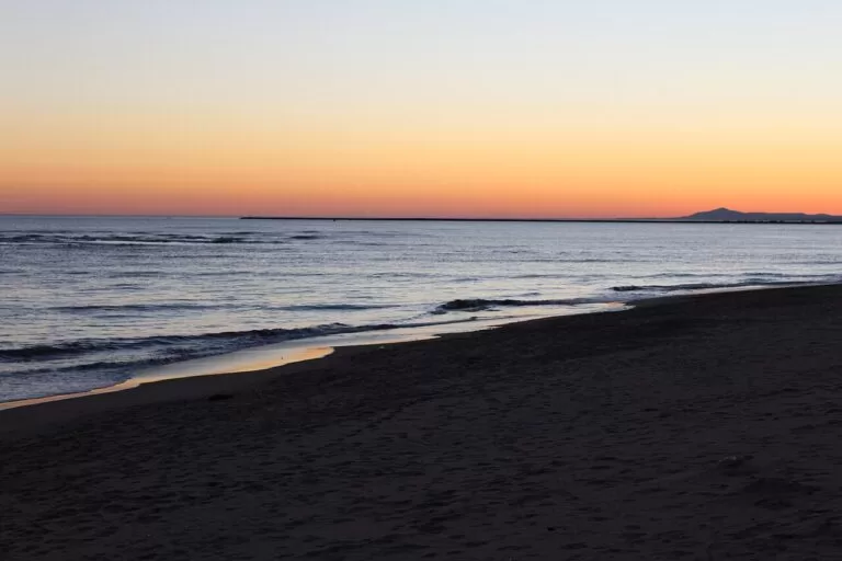
Isla Canela and Los Haraganes
Ayamonte’s natural beach by the golf club (Andalucía.org). Los Haraganes, 1,500 m of golden sand behind a low line of dunes between Punta del Moral and Isla Canela, usually has calm water (spain.info).
See the Ayamonte guide →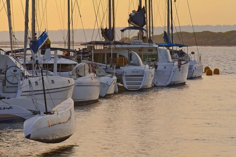
Flecha del Rompido
A long sand spit across the Piedras river from El Rompido, protected as a Paraje Natural with the river marshes, and reached by boat (Andalucía.org).
See the Flecha del Rompido guide →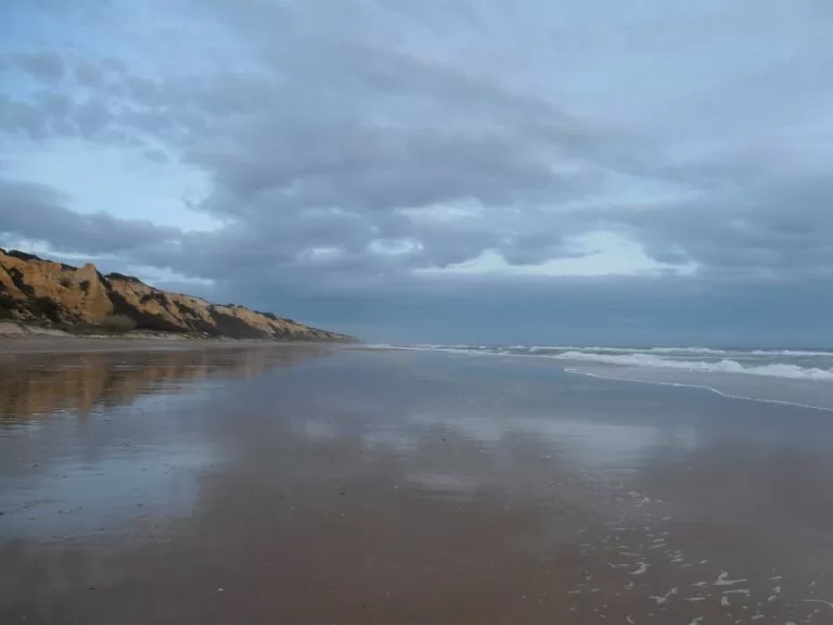
Mazagón
An enormous, quiet beach of fine white sand; spain.info gives 9,000 m in all, 5.5 km of it from the port towards Huelva, with a naturist section (spain.info).
See the Mazagón guide →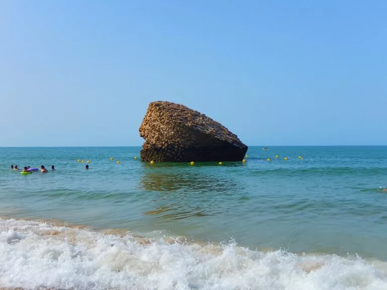
Matalascañas
4,200 m by 80 m of golden sand with a promenade, steps and ramps, joining the empty beaches of Doñana to the east (spain.info).
See the Matalascañas guide →- La Gaviota, Isla Cristina – 440 m of white sand in town (spain.info).
- Islantilla – 1,400 m of golden sand in the resort, busy in summer (spain.info). See our Islantilla guide.
- La Antilla, Lepe – 3,500 m, with a palm-lined promenade (spain.info).
- San Miguel, Cartaya – 2,000 m of fine white sand on the Piedras river between El Rompido and Nuevo Portil, behind a pine wood (spain.info).
- Punta Umbría – 3,800 m of urban beach with the widest choice of services on this part of the coast (spain.info). West of town is Playa de la Bota.
- Doñana – 28 km of undeveloped beach east of Matalascañas, rarely busy and hard to reach on foot (spain.info).
Things to do
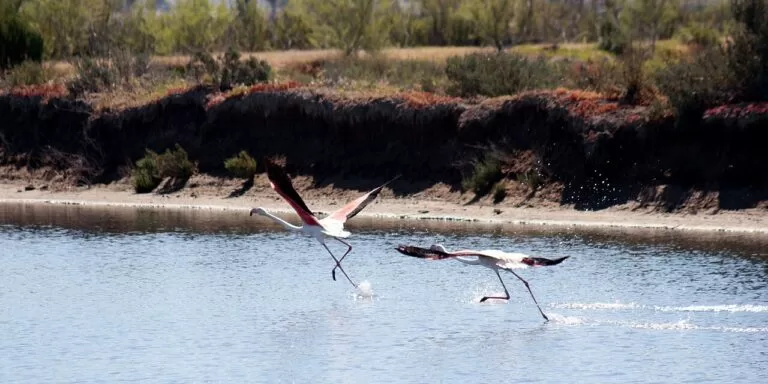
Nature: marshes, dunes and Doñana
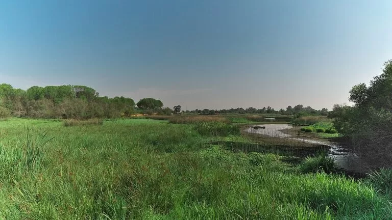
The Odiel marshes, 7,000 ha between the Tinto and the Odiel, have been a UNESCO Biosphere Reserve since 1983 and shelter more than 200 bird species, among them spoonbills and ospreys (spain.info). Doñana has visitor centres at La Rocina, 1 km from El Rocío, at the Palacio del Acebrón and at El Acebuche, about 3 km from Matalascañas, which has a lynx observation point and the booking point for the all-terrain route (Doñana National Park, MITECO). To see the inside of the park you need a guided tour.
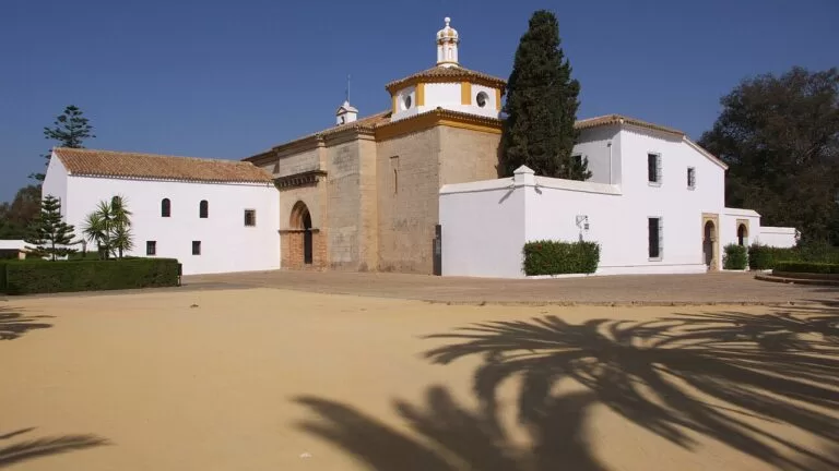
History: Columbus and Tartessos
Spain.info groups the Columbus sites of Moguer, Huelva, Palos de la Frontera and Mazagón as the Columbus Route (spain.info). Start at the Monastery of La Rábida, where Columbus stayed and Martín Alonso Pinzón is buried, then board the replicas of the Niña, the Pinta and the Santa María at the Muelle de las Carabelas.
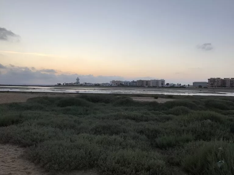
Food: white prawns, tuna and Condado wine
Spain.info names Huelva’s white prawns, pata negra ham and the wines of the Condado, the last two with a Protected Designation of Origin (spain.info). Isla Cristina is known for salted and canned fish, above all tuna (Andalucía.org), and Lepe and Palos for strawberries. For wine, head inland to Bollullos and the Condado.
Where to stay by town
Our picks, west to east; all are busy in July and August.
Ayamonte and Isla Canela
A real town on the river with a ferry to Portugal, and beach hotels and a golf club at Isla Canela.
Border and beach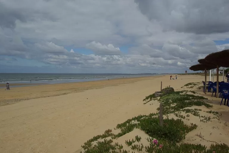
Punta Umbría
The most services on this coast, a long town beach and the summer boat to Huelva.
Families and servicesMazagón
Low-rise and spread out among the pines, with a marina and miles of quiet sand.
Quiet beach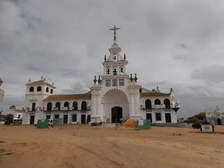
El Rocío or Matalascañas
El Rocío for the marsh, the shrine and early starts in Doñana; Matalascañas for a resort beach next to the park. Avoid both at Pentecost unless you come for the Romería.
Doñana and natureGetting there and around
By air
Faro airport in Portugal is about 54 km from Ayamonte, and Seville airport about 95 km from Huelva and 61 km from El Rocío, in a straight line (OpenStreetMap).
By car
The A-49 motorway runs from Seville past Huelva to Ayamonte and the bridge to Portugal. For El Rocío and Matalascañas, leave it at exit 48 from Seville or exit 50 from Huelva and take the A-483 through Almonte (Andalucía.org).
By bus, train and boat
DAMAS buses link Huelva and Seville with the coast towns, including El Rocío and Matalascañas (Andalucía.org). Huelva has the coast’s railway station. In summer, boats cross between Huelva and Punta Umbría (spain.info), and the ferry from Ayamonte crosses the Guadiana to Portugal (Andalucía.org).
A two-day route
By car, with a night in Punta Umbría or Mazagón.
Day 1
Ayamonte, Isla Cristina and El Rompido
Start in Ayamonte with the old town and the view from the Parador over the Guadiana. Drive to Isla Cristina for the fishing port and a seafood lunch, then on to El Rompido and take the boat to the Flecha for the afternoon. End in Punta Umbría.
Day 2
La Rábida, Moguer and El Rocío
Open the day at the Monastery of La Rábida at 10:00 (closed Mondays) and the Muelle de las Carabelas next door. Lunch in Mazagón, then drive to El Rocío for the shrine, the marsh and the La Rocina path.
FAQ
Which towns are on the Huelva coast?
From west to east: Ayamonte with Isla Canela, Isla Cristina, Islantilla and La Antilla (Lepe), El Rompido (Cartaya), Punta Umbría, Huelva, Mazagón (Moguer) and Matalascañas (Almonte).
What are the best beaches in Huelva?
For space and nature, the Flecha del Rompido, Mazagón and the Doñana beaches east of Matalascañas. For services, Punta Umbría, Islantilla and Matalascañas.
Can you visit Doñana from Matalascañas?
Yes. The El Acebuche visitor centre is about 3 km away, and the beach continues into the park. The interior can only be visited on a guided tour.
Where did Columbus sail from?
From the port of Palos de la Frontera, on 3 August 1492. The Monastery of La Rábida, where he stayed, and the replica ships are a few kilometres away.
Can you get to Portugal from Ayamonte?
Yes, by the bridge over the Guadiana on the A-49 or by the passenger ferry across the river, which still runs.
Other areas of the Costa de la Luz
Costa de la Luz
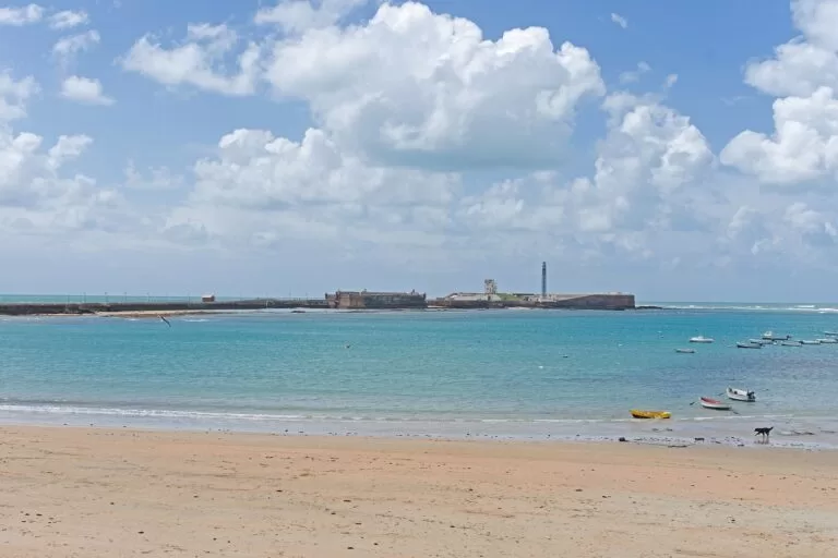
The whole Atlantic coast from Ayamonte to Tarifa, with the map, the four areas and the inland day trips.
Costa de la Luz guide →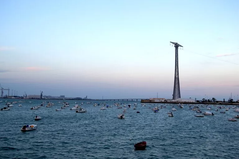
Sherry coast and the Bay of Cádiz
Sanlúcar and its manzanilla, Chipiona, Rota, El Puerto de Santa María and the city of Cádiz.
Sherry coast and Bay of Cádiz guide →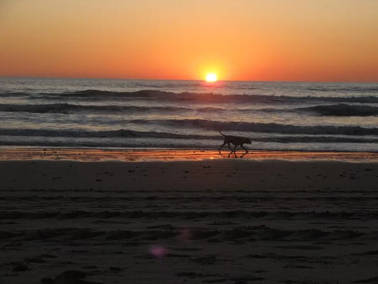
La Janda: Chiclana, Conil, Vejer and Barbate
Wide open beaches, the hill town of Vejer and the tuna port of Barbate.
La Janda guide →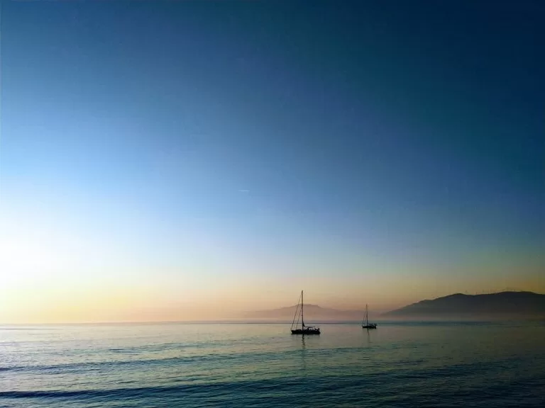
Tarifa and the Strait of Gibraltar
Kitesurfing beaches, Roman Baelo Claudia and the ferries to Morocco.
Tarifa and the Strait guide →West of Ayamonte, across the Guadiana, the coast continues in Portugal as the Algarve.
Sources and freshness
Checked 7 November 2026. Andalucía.org (Junta de Andalucía tourism): the listing for each town and resort linked in the text above, and the page on El Rocío (history, sights, access). Spain.info (Turespaña): the town pages linked above, the Odiel marshes, Huelva province and the beach sheets linked under Beaches (lengths, services). Doñana National Park (MITECO) on the El Acebuche and La Rocina visitor centres. Map data and straight-line distances: OpenStreetMap (ODbL). Not confirmed: bus, boat and ferry timetables and train services from Huelva; the Huelva provincial tourism site and the town hall sites could not be reached. Beach lengths differ between sources (Mazagón, Islantilla); we use spain.info’s beach sheets. Photos from Wikimedia Commons: Mazagón dunes and Punta Umbría by Concepcion AMAT ORTA… (CC BY 3.0); Isla Canela by ines marquez bravo (CC0); El Rompido by Tomás Fano (CC BY-SA 2.0); Mazagón beach and Ermita del Rocío by isol (CC BY-SA 3.0); Matalascañas by joselito2311 (CC BY-SA 3.0); Odiel marshes by Felipe Moreno Baquero (CC BY-SA 3.0 es); La Rábida and La Rocina by José Luis Filpo Cabana (CC BY-SA 4.0, CC BY 3.0); Isla Cristina by Laila Jamai Hammi (public domain mark); Cádiz by Ymblanter (CC BY-SA 4.0); Bahía de Cádiz by Josan Gómez (CC BY-SA 3.0); Conil by Jon Agüera (CC BY-SA 3.0); Tarifa by Jelger Groeneveld (CC BY 2.0).
Every place we have mapped on the The Huelva coast
25 towns, beaches, coves and landmarks, kept up to date automatically.
- Aljaraque
- Almonte
- Ayamonte
- Bollullos Par del Condado
- Camper Park Playas de Luz
- Camping El Madroñal
- Camping Global Tribe
- Cartaya
- Doñana National Park
- El Campillo
- El Rocío (Almonte)
- Flecha del Rompido (El Rompido, Huelva)
- Huelva
- Isla Cristina
- Lepe
- Marismas del Odiel (Huelva)
- Moguer
- Monastery of La Rábida (Palos de la Frontera)
- Muelle de las Carabelas (Palos de la Frontera)
- Palos de la Frontera
- Playa de Islantilla (Lepe and Isla Cristina)
- Playa de la Bota (Punta Umbría)
- Playa de Matalascañas (Almonte)
- Playa de Mazagón (Huelva)
- Punta Umbría