
Balearic Islands · Island 2
Menorca travel guide: Maó, Ciutadella and the calas
The quiet Balearic island: a capital on one of the Mediterranean’s great natural harbours, an old capital of palaces in the west, a north coast of rugged shores and reddish beaches, and a south coast of golden coves in the pines, all joined by the 185 km Camí de Cavalls.
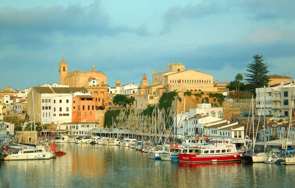
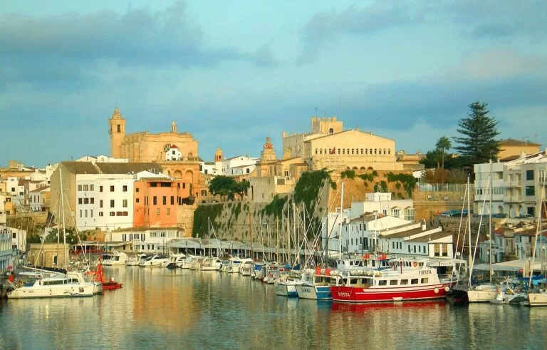
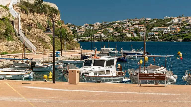
The harbour of Ciutadella · Photo: LANOEL, CC BY-SA 3.0
Part of the Balearic Islands guide · Island 2: Menorca
Menorca, in the Balearic Islands, has Maó (Mahón), the capital, at its eastern end and Ciutadella, the old capital, at its western end; the longest distance between two points on the island is 47 km. Its 216 km of coast changes from rugged shores and reddish beaches in the north to gentle relief and golden sandy coves in the south, and the whole island is a UNESCO Biosphere Reserve (spain.info).
At a glance
- Where the whole island, from Maó, Es Castell and Sant Lluís in the east, across the interior towns on the Maó–Ciutadella road, to Ciutadella in the west.
- Towns Maó, Es Castell, Sant Lluís, Alaior, Es Mercadal with Fornells, Es Migjorn Gran, Ferreries and Ciutadella; resorts such as Cala Galdana, Son Bou, Sant Tomàs and Binibeca.
- Best for coves, coastal walking, prehistoric sites and birdwatching at S’Albufera des Grau.
- Getting there Menorca Airport (MAH) is about 4.5–5 km from Maó. Ferries run from Mallorca, Barcelona and Valencia to the ports of Maó and Ciutadella.
Map of Menorca
The map shows the places on Menorca that have a CostaMap page. Tick a place type to filter, and click a marker to see the place in the panel.
Place type
Area · next level
 Coast map
Menorca
Click a marker to see the place here. From Maó and its harbour across the island to Ciutadella, with the calas of the north and south coasts.
Towns and calasTowns and villages
From Maó in the east, through the towns of the interior and their stretches of coast, to Ciutadella in the west, then the two coasts. Facts are from spain.info, Spain’s official tourism site, unless another source is linked.
Maó: the old town
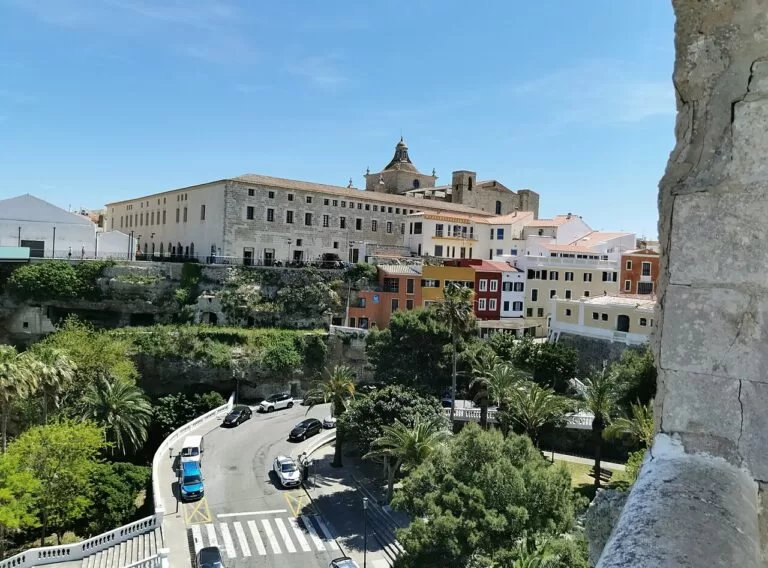
Maó (Mahón in Spanish) is the capital of Menorca. It became the island’s administrative capital under British rule in the 1700s. The historic quarter has bourgeois houses around the squares of Colón, Sant Francesc, Conquesta and Miranda. On the Plaça d’Espanya stands Santa María, a 13th-century Gothic church remodelled in the 18th century, the largest on the island, with a 19th-century organ known for its sound. Carrer Nou is a pedestrian shopping street (spain.info, Maó).
Maó: the harbour front
Maó stretches along one of the best and largest natural ports in the Mediterranean, and its waterfront runs for more than 5 km, lined with restaurants, bars and terraces. Gin distilleries stand near the port. The Museu de Menorca fills the old Franciscan convent of Sant Francesc, and the Army Museum, in the old gunpowder store of the castle of San Felipe, covers the fortresses of San Felipe and La Mola (spain.info). Our Maó Harbour guide covers the port, its boat trips and viewpoints. A few kilometres south of town, Trepucó has one of the best taulas, the T-shaped megaliths of the island.
Es Castell
Es Castell lies on the south side of the harbour mouth, east of Maó. The town takes its name from the castle of Sant Felip, built after the corsair Barbarossa attacked Maó in 1535; its guns were in place by 1558, and people from Maó settled next to the walls for shelter. The British named the new town Georgetown in 1771, the Spanish crown renamed it Real Villa de San Carlos in 1782, and it was officially Villacarlos until 1985 (Catalan Wikipedia).
Sant Lluís and Binibeca
Sant Lluís is a few kilometres south of Maó. Its coast mixes fine-sand beaches and cliffs, with the coves of Binissafúller, Biniancolla and Binibeca and their whitewashed fishermen’s houses, capes, islets and medieval watchtowers. Inland, the Molí de Dalt windmill holds an ethnological museum (spain.info, Sant Lluís). The holiday village of Binibeca Vell follows traditional island architecture (spain.info). Off the south-east tip lies the Illa de l’Aire with its lighthouse.
Es Grau and S’Albufera
The hamlet of Es Grau lies on the coast north of Maó, inside the Parc Natural de s’Albufera des Grau. The park, created in 1995 and enlarged in 2003, is the largest wetland on Menorca and the core of the island’s Biosphere Reserve. The Balearic government gives its area since 2003 as 5,066.95 ha, about a third of it sea (Govern de les Illes Balears); Catalan Wikipedia gives a smaller 1,947 ha, including the Albufera lagoon itself (72 ha), the Illa d’en Colom (60 ha) and Cap de Favàritx (Catalan Wikipedia). Spain.info calls the shallow lagoon a perfect bird observatory. The beach of Es Grau is 590 m of golden sand in a semicircle, sheltered by the Illa d’en Colom, with calm water (spain.info).
Alaior, Son Bou and Cales Coves
Alaior is an inland farming and cattle town, known today for crafts, above all handmade footwear. Its churches of Santa Eulàlia and Sant Diego date from the 17th century (spain.info, Alaior),. Its coast is the island’s longest beach, Son Bou, 2,300 m of golden sand with dunes. Further east, Cales Coves, 9 km from Alaior, is a pair of coves ringed by cliffs with almost a hundred caves dug as tombs from about the 9th–10th century BC; the caves are closed with metal doors (Catalan Wikipedia).
Es Mercadal and Monte Toro
Es Mercadal sits in the centre of Menorca at the foot of Monte Toro (El Toro), the island’s highest mountain; a visit to the sanctuary of the Virgen del Toro, patron of Menorca, is the classic outing. In July the Sant Martí fiestas bring the jaleo, where horses dance to music, and the village is known for sweets made to old recipes, such as amargos and crespellines (spain.info, Es Mercadal). It is also known for handmade shoes (spain.info). The Cap de Cavalleria eco-museum, on the north coast, has open-air exhibits.
Fornells
Fornells is a fishing village on the north coast, in the municipality of Es Mercadal. Its bay is one of the biggest natural harbours on Menorca, 5 km long and 2 km wide, with small beaches around it and the islet of Sargantanes, where a fort was built under English rule. It is a protected area, popular for sailing. Fornells is known for lobster casserole (caldereta de llagosta), and at the end of July its Sant Antoni fiestas include the jaleo (spain.info, Fornells). The village grew around the 16th-century castle of Sant Antoni (spain.info).
Es Migjorn Gran and Sant Tomàs
Es Migjorn Gran is a small town in the south-centre of the island. It grew during the second British rule around the chapel of Sant Cristòfol, built in 1769, and became a municipality in 1989, when it separated from Es Mercadal (Catalan Wikipedia). Its coast is the resort of Sant Tomàs, a 750 m white-sand beach with sunbeds, showers and a section used by naturists (spain.info), and Binigaus to the west, 1,040 m of unspoilt golden sand surrounded by vegetation and often used as a nudist beach (spain.info).
Ferreries and Cala Galdana
Ferreries, at 141 m above sea level, is the highest town on Menorca. Sights include the ruins of the Arab castle of Sent Agayz on Santa Àgueda hill, next to the remains of an old Roman road. The municipality holds the coves of Galdana, Calderer and Mitjana, with tranquil water, golden sand and pine woods almost to the sea (spain.info, Ferreries). Cala Galdana is the resort: a 450 m shell-shaped beach with shallow water. Cala Mitjana, 1.2 km east, has no buildings and is reached on foot.
Ciutadella: Es Born and the old town
Ciutadella, on the far western end of the island, was the capital until the British moved it to Maó, and is still the seat of the bishop. Its centre is Es Born, the old parade ground, with an obelisk. On the square stand the 19th-century City Hall, built over the old Arab citadel, the Palau Salort and the red neoclassical Palau Vivó. The cathedral was commissioned in the 14th century by Alfonso III on the site of the main mosque, whose minaret became the bell tower. (spain.info, Ciutadella).
Ciutadella: the port and bastions
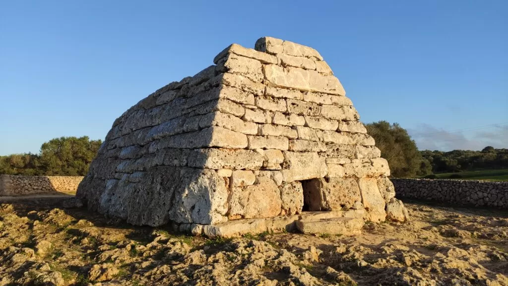
The port lies in a cove at the foot of the town, and the viewpoint behind the City Hall looks down over it. The Bastió de Sa Font, one of five bastions of the 16th-century town walls, houses the Municipal Museum, and the Castell de Sant Nicolau has an exhibition on the Biosphere Reserve. Ciutadella’s big festival is Sant Joan on 23 and 24 June, when horsemen ride their horses through the centre (spain.info). East of town, off the road to Maó, the Naveta des Tudons is a pre-Talaiotic collective tomb.
The north coast calas
The north coast is rugged, with reddish beaches. From east to west: Cavalleria, two half-shell beaches of fine golden sand between low hills, 450 m in all, with moderate waves and toilets (spain.info); Cala Pregonda, 200 m of fine sand reached by walking round Binimel·la beach, sheltered from north winds by the islets in front (spain.info); and, near Ciutadella, Cala Morell, a small cove of 39 m with boats and cliffs holding a prehistoric necropolis (spain.info).
The south coast calas
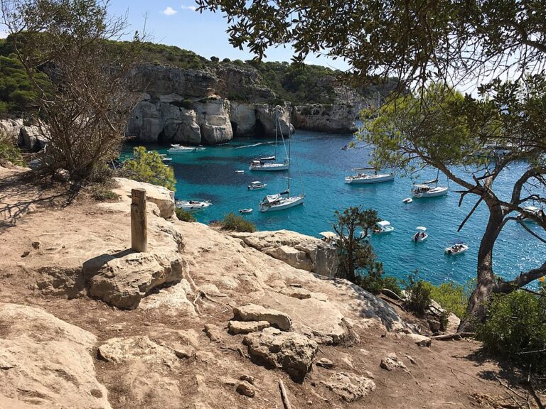
West of Cala Galdana, Ciutadella’s south coast is the Menorca of the postcards: Cala Macarelleta and Macarella, a 105 m white-sand beach sheltered by cliffs, with parking and restaurants (spain.info); Cala Turqueta; and Son Saura, 500 m of white sand with dunes at the end (spain.info). Spain.info’s Ciutadella page names Mitjana, Trebalúger and Galdana as the most visited coves on the island. The Camí de Cavalls links them all, through woods that grow to the water’s edge.
Beaches and coves
Sizes are from spain.info. In general, the south has golden or white sand in coves with pine woods, and the north has rugged shores and reddish beaches.
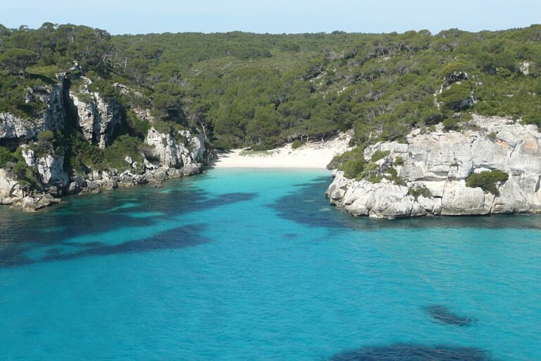
Macarella and Macarelleta
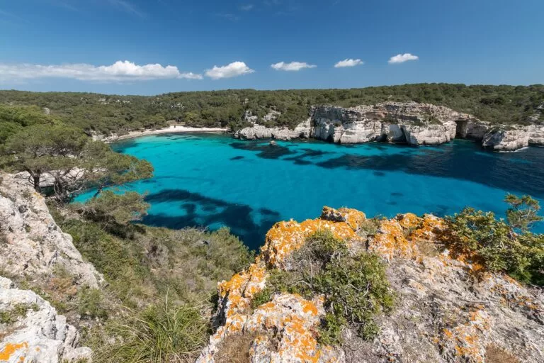
Twin coves in the pines west of Cala Galdana; Macarella has 105 m of white sand, parking and restaurants.
See the Macarelleta guide →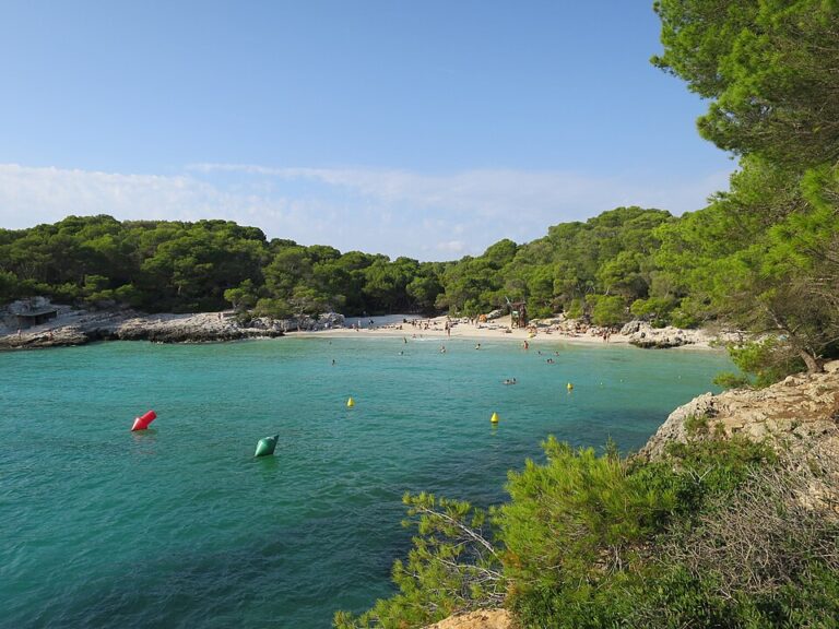
Cala Turqueta
A cove on the Camí de Cavalls between Son Saura and Macarella, named by spain.info for its clear water.
See the Cala Turqueta guide →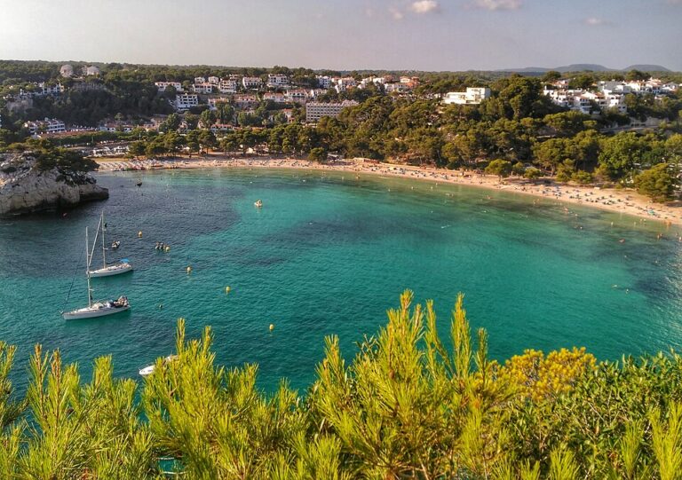
Cala Galdana
A 450 m shell-shaped resort beach with shallow, calm water, buses and free car parks.
See the Cala Galdana guide →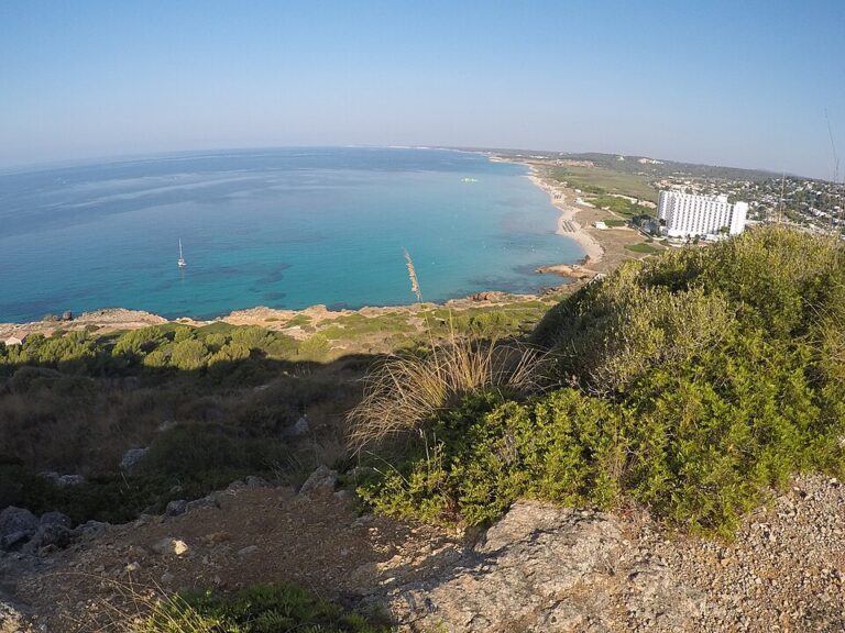
Son Bou
2,300 m of golden sand with dunes and a wetland behind; free car park and bus 32 to Maó.
See the Son Bou guide →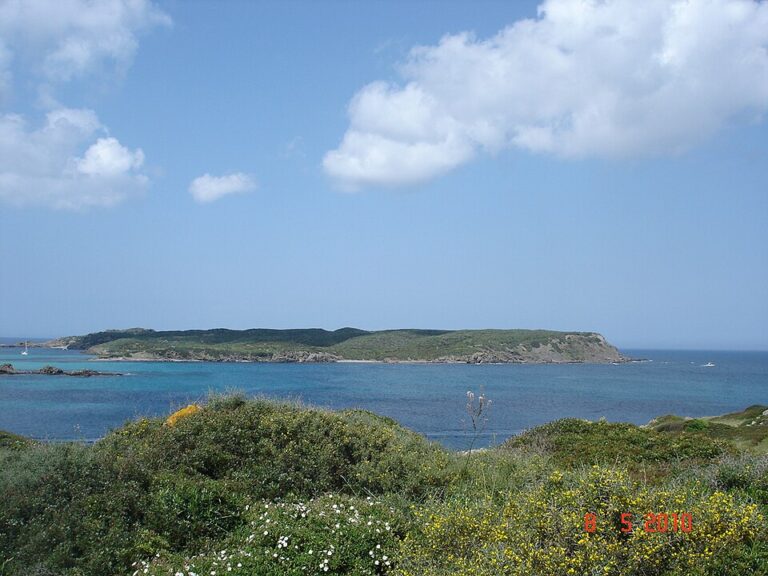
Es Grau
590 m of golden sand in a calm bay sheltered by the Illa d’en Colom.
See the Illa d’en Colom guide →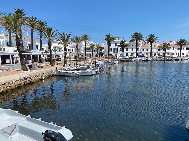
Cavalleria and Pregonda
The north coast near Fornells: Cavalleria’s two half-shell beaches (450 m) and Pregonda (200 m), sheltered by its islets.
See the Fornells guide →Things to do
Nature: the Camí de Cavalls and S’Albufera
The Camí de Cavalls is the GR 223, a 185 km path round the whole coast in 20 stages of 5 to 13 km, marked in red and white. Its name, the horse path, recalls the 14th-century knights who patrolled the coast on horseback. The first ten stages follow the north coast from Maó to Ciutadella, the other ten the south coast back to Maó, past more than 50 coves and beaches (spain.info). At S’Albufera des Grau three marked routes lead round the lagoon and its hides (Catalan Wikipedia).
History: talaiots, taulas and fortresses
People lived on Menorca by about 2000 BC and left talaiots (stone towers), taulas (T-shaped megaliths) and navetas (tombs shaped like upturned boats). The Naveta des Tudons, near Ciutadella, is a funeral monument of the 14th century BC. Near Maó are Trepucó with its taula, Talatí de Dalt and the early Christian basilica of Es Fornàs de Torelló; near Alaior, Roques Llises and the Torre d’en Gaumes (spain.info). Talayotic Menorca, the island’s prehistoric sites, is on UNESCO’s World Heritage List: spain.info says the island has about 1,600 prehistoric sites, one of the highest densities in the world in an inhabited territory (spain.info, the talayots of Menorca).
Food: lobster, cheese and gin
Spain.info names mayonnaise, made with egg, garlic and olive oil, as the island’s most famous sauce. The best-known dish is lobster casserole, a speciality to try in Fornells; others are baked cuttlefish, fish rice and tumbet, a vegetable bake. Mahón cheese has a Designation of Origin, ensaimada is the classic sweet bun, and gin flavoured with juniper is the traditional drink (spain.info, Ciutadella).
Where to stay by town
The main bases are the two cities and the south-coast resorts. Distances are short: no two points on the island are more than 47 km apart.
Maó and Es Castell
Closest to the airport and the ferry port, with the harbour restaurants, museums and buses to the south-coast resorts. Good for a short stay without a car.
Town life, harbour, airport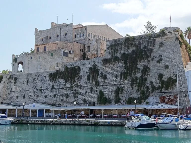
Ciutadella
The old capital, with palaces and the port, and the nearest town to Macarella, Turqueta and Son Saura. Busy in late June for Sant Joan.
Old town, south covesSouth-coast resorts
Cala Galdana, Son Bou, Sant Tomàs and the Sant Lluís coast: hotels and apartments on the beach, buses to Maó or Ciutadella.
Families, beach holidaysFornells and the north
A fishing village on a large bay, for sailing, seafood and the north-coast beaches. You need a car.
Sailing, seafood, quietGetting there and around
By air
Menorca Airport (MAH) is 4.5 km from Maó, according to spain.info’s Camí de Cavalls page (its island page says five kilometres).
By sea
Ferries sail to Menorca from Mallorca, Valencia and Barcelona, arriving at the ports of Maó and Ciutadella (spain.info). You can bring your own car.
By bus and car
TMSA buses (as mapped on OpenStreetMap) run to resorts such as Cala Galdana (lines 51 and 52) and Son Bou (line 32); timetables are seasonal. Spain.info says driving is more convenient.
A two-day route
By car, with a night in Ciutadella or on the south coast.
Day 1
Maó, Monte Toro and Ciutadella
Start in Maó’s old town and harbour, then drive west. Visit the Virgen del Toro sanctuary at Es Mercadal, stop at the Naveta des Tudons, and end with an evening walk round Es Born and the port of Ciutadella.
Day 2
The south-coast calas
Go early to Macarella and walk on to Macarelleta, or walk from Cala Galdana to Cala Mitjana. In the afternoon drive to Son Bou for a long beach walk, or to Fornells for lobster casserole by the bay.
FAQ
Is it better to stay in Maó or Ciutadella?
Maó is closer to the airport and the east; Ciutadella has the palace-lined old town and is nearer the south-western coves. The two are at opposite ends of the island; no two points on Menorca are more than 47 km apart.
What are the best beaches in Menorca?
In the south, Macarella and Macarelleta, Turqueta, Mitjana and Cala Galdana for coves, and Son Bou for a long beach. In the north, Cavalleria and Pregonda.
How long is the Camí de Cavalls?
185 km round the whole island, signed as the GR 223 and split into 20 stages of 5 to 13 km.
What is the longest beach in Menorca?
Son Bou in Alaior, 2,300 m of golden sand according to spain.info.
How do you get to Menorca?
Fly to Menorca Airport, about 4.5–5 km from Maó, or take a ferry from Mallorca, Barcelona or Valencia to Maó or Ciutadella.
Other areas of the Balearic Islands
Balearic Islands
Mallorca, Menorca, Ibiza and Formentera, with the map, flights, ferries and itineraries.
Balearic Islands guide →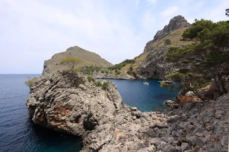
Mallorca
Palma, the Serra de Tramuntana and the long beaches of the south and east.
Mallorca guide →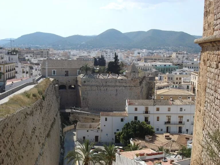
Ibiza
The walled old town of Dalt Vila, markets and the coves of the west coast.
Ibiza guide →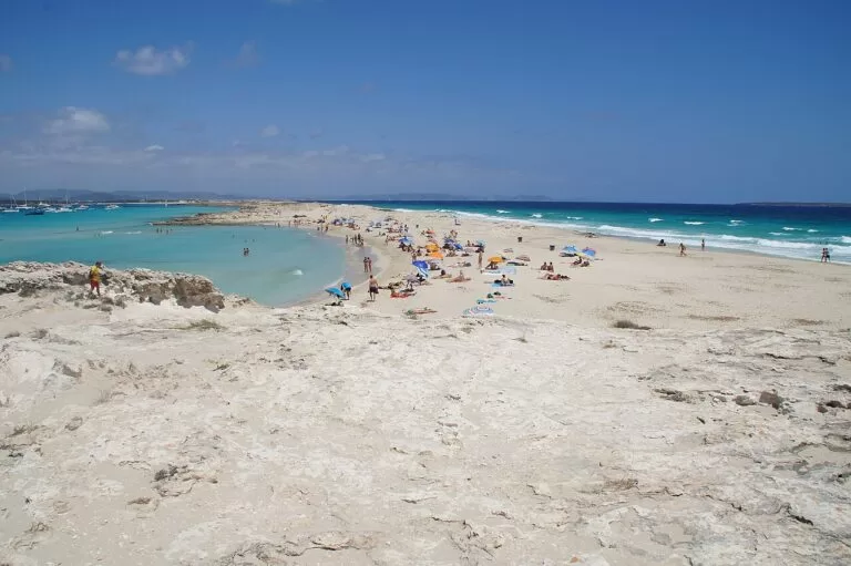
Formentera
The smallest island, reached by boat from Ibiza, with Ses Illetes and its lighthouses.
Formentera guide →Sources and freshness
Checked 9 November 2026. Spain’s official tourism site, spain.info, on Menorca, Maó, Ciutadella, Es Mercadal, Fornells, Alaior, Ferreries, Sant Lluís, the Camí de Cavalls and its beach pages (linked in the text). The Balearic tourism portal www.illesbalears.travel returned server errors on the day we checked. Background: Catalan Wikipedia on S’Albufera des Grau, Es Castell, Es Migjorn Gran and Cales Coves. Bus lines and distances: OpenStreetMap. Photos: Wikimedia Commons, credited on each CostaMap place page. Corrected 9 November 2026: added the UNESCO World Heritage listing of Talayotic Menorca from spain.info, the talayots of Menorca; the year of inscription is not given there and whc.unesco.org could not be reached from here, so we do not state it. Corrected 9 November 2026: S’Albufera des Grau area updated from the Balearic government’s park page (Catalan Wikipedia’s 1,947 ha kept as a second figure) and linked to our new S’Albufera des Grau guide.
Every place we have mapped on the Menorca
13 towns, beaches, coves and landmarks, kept up to date automatically.
- Binibeca Vell (Sant Lluís, Menorca)
- Cala Galdana (Ferreries, Menorca)
- Cala Macarelleta (Ciutadella, Menorca)
- Cala Mitjana (Ferreries, Menorca)
- Cala Turqueta (Ciutadella, Menorca)
- Camí de Cavalls (Menorca)
- Fornells (Es Mercadal, Menorca)
- Illa d'en Colom (Es Grau, Menorca)
- Illa de l'Aire (Sant Lluís, Menorca)
- Mahón Harbour (Port of Maó, Menorca)
- Naveta des Tudons (Ciutadella, Menorca)
- S'Albufera des Grau Natural Park (Menorca)
- Son Bou beach (Alaior, Menorca)