
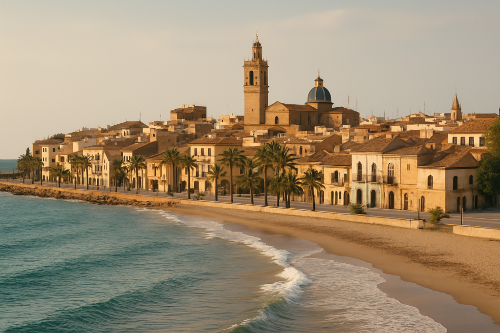
Expect a working port town with a strong agricultural hinterland and a long summer coastline rather than a glossy resort strip. This is a place where orange groves, a medieval church and a 16th‑century sea tower sit within a compact urban grid and where summers change the mood dramatically as vacationers arrive. Read on for candid, useful detail so you know what to expect, how to get there and which parts are worth your time.
Burriana at a glance
- Location: Mediterranean coast in the lowest part of the Plana Baixa, province of Castellón.
- Coastline length: roughly 15 km of municipal shoreline.
- Main beach: El Arenal (~2 km long), holds a Blue Flag status.
- Historic highlights: Church of El Salvador (13th‑century early Gothic) and a 16th‑century Sea Tower.
- Summer note: seaside population can triple in peak season; town centre sits about 1.5 km from the seafront.
- Local economy: a mix of port activity and agriculture — orange groves irrigated by the Millars River surround the town.
Things to do in the area
The best days here are a mix of short heritage stops, beach time and simply walking the streets that inspired literary visitors. Pick activities to fit the heat: mornings for history and groves, afternoons on the sand.
| Attraction | What it is | Price/entry | Best for |
|---|---|---|---|
| Church of El Salvador | 13th‑century church in early Gothic style | – | history seekers, architecture fans |
| Sea Tower (Torre del Mar) | 16th‑century coastal tower | – | photographs, short visit |
| El Arenal beach | Main 2 km sandy beach; Blue Flag | – | families, sunbathers |
| Michener memorials | Memorials and local sites linked to James A. Michener | – | literary visitors |
Church of El Salvador
The medieval parish sits among the town streets and is one of the clearest examples you’ll find locally of early Gothic architecture in stone rather than the later Baroque rebuilds common elsewhere. It dates to the 13th century and rewards a short visit for anyone interested in ecclesiastical history tied to the reconquest period.
The Sea Tower
Perched on the shoreline, the coastal watchtower traces to the 16th century. It’s a compact, tangible reminder of past defensive needs along the Mediterranean littoral; it makes a convenient photographic stop when you’re moving between the beaches and the lower town.
James A. Michener memorials and literary links
The town commemorates the American writer’s attention to local life—Michener mentions the place in his book Iberia and you’ll find memorials in town that mark that connection. If you read Michener’s chapters on the region, those sites add a layer of context to streets and plazas you’ll walk through.
Best beaches in Burriana
The municipality has an extended shoreline and a principal sandy stretch. Beaches change character along the coast, from long public sands to smaller coves; the main public beach is where most visitors concentrate.
| Beach | Character | Facilities / Blue Flag |
|---|---|---|
| El Arenal | Long sandy main beach, suitable for families and long walks | Blue Flag; main public facilities |
Burriana with kids
If you travel with children, plan most days around El Arenal and short outings to nearby monuments. The beach’s long shallow sands are the obvious draw, and the fact that the seafront sits only a short distance from the centre—about 1.5 km—makes logistics easier for families without long transfers. Expect the atmosphere to feel very different in high summer when the seaside population swells considerably.
How to get to Burriana and get around
Access is straightforward from the provincial capital. Road links run from Castelló de la Plana into the municipality along two principal routes used by locals and drivers alike.
| From | By | Approx time |
|---|---|---|
| Castelló de la Plana | CV‑18 or N‑340 | – |
Within town, the urban grid is compact: the centre, port and the seafront are within easy reach on foot or by a short local drive. If you arrive by car, bear in mind summer crowds on the seafront can make parking trickier than in the shoulder seasons.
Where to stay in the resort
There aren’t marked neighbourhood labels that travel guides always use, but choices essentially boil down to three approaches:
- Stay near the seafront: best for beach time and easy access to the main promenade and El Arenal.
- Stay in the town centre: closer to historic sights such as the Church of El Salvador and local eateries; a short walk from the port and the outskirts of the orange groves.
- Stay outside town in the agricultural fringes: for quieter mornings and views over orange fields watered by the Millars River.
Best time to visit here
Summer is the unquestionable high season: the seaside population can triple, turning a quiet port town into a bustling coastal destination. If you prefer fewer crowds and cooler walking weather, aim for shoulder months when the beaches are less packed and the orchards are quieter.
| Season | Months | What to expect |
|---|---|---|
| High season | Summer | Large increase in seaside population; busiest beach period |
| Shoulder months | Spring / autumn | Quieter streets; easier walking and access to inland crops and river areas |
History of the town
The settlement’s history is layered. After the Christian reconquest in 1233, a Jewish community was established here, part of a broader medieval fabric. Architectural survivals include the Church of El Salvador, dating to the 13th century and reflecting early Gothic forms, and a 16th‑century Sea Tower that speaks to coastal defence priorities in later centuries. Over time the place evolved into a port town with agricultural surroundings—orange groves fed by the Millars River remain a visible part of the local landscape.
Practical info
- Distance to the seafront: the main beach area lies roughly 1.5 km from the town centre, so most visitors walk or take a short local ride.
- Coastline: the municipality manages about 15 km of coastline, so there are stretches beyond the main beach if you want quieter coves.
- Blue Flag status: El Arenal has been awarded the Blue Flag, indicating recognised standards for water quality and facilities.
- Climate considerations: summer brings the heaviest visitor numbers; the town’s population exceeds 35,000 in resident terms, and that figure is substantially augmented by seasonal visitors.
Worth it for: travellers who value a genuine working port with nearby long beaches, straightforward historical sites and a landscape of orange groves watered by a local river.
Less so if: you want a purpose-built luxury resort or a place where every street is focused on mass tourism—expect a real town with mixed uses and seasonal surges.
How we assess this guide
We compiled this guide from verified historical and geographic sources and checked local infrastructure details. We flag closures and changes where known. This is not a first‑hand field report but a careful synthesis of authoritative claims; factual statements such as dates, historical events and official recognitions have been cross‑checked.
Nearby on the Costa del Azahar
Towns within reach
- Burriana — the wide Arenal beach, a lively marina (0 km)
- Villarreal — ceramics heritage, the Yellow Submarine football club (6 km)
- Almassora — a quiet Costa del Azahar town by the Millars river mouth (6 km)
- Nules — its beach and the walled village of Mascarell 18 km south (7 km)
- Uixó — home to the Coves de Sant Josep, Europe's longest navigable underground river (15 km)
Things to see close by
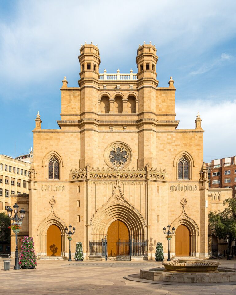
- Castelló Co-Cathedral — Castelló's bell tower stands entirely separate from its cathedral (11 km)
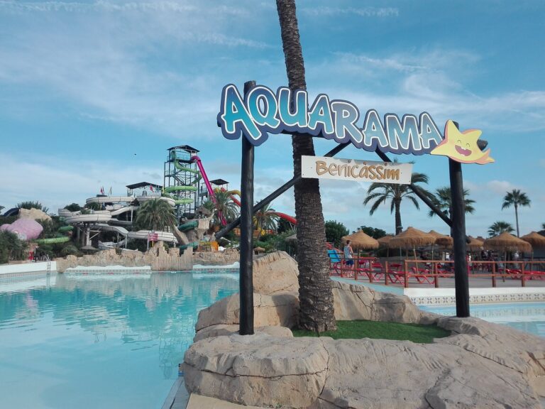
- Aquarama Water Park — Aquarama sits directly on the Mediterranean, home to The Devil's Drop (21 km)
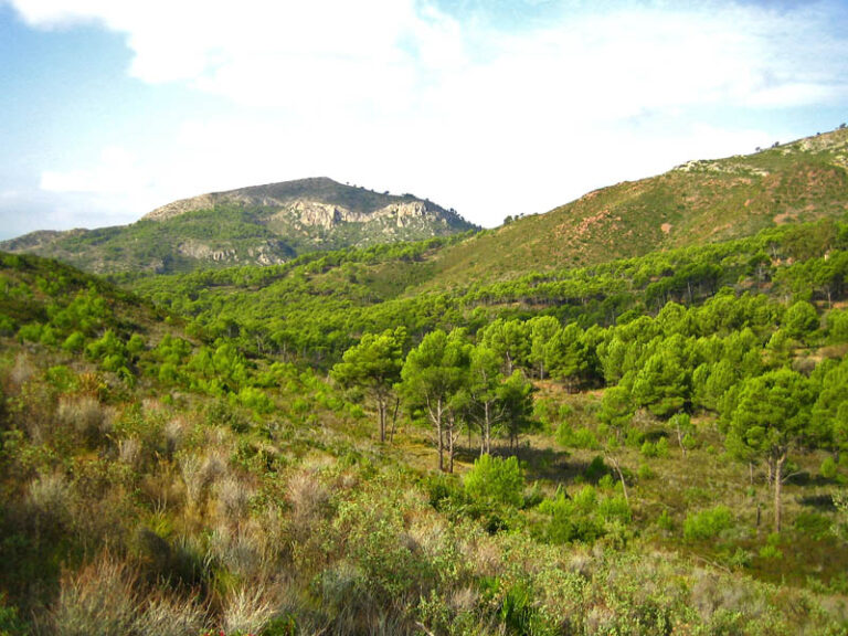
- Desert de les Palmes Natural Park — Desert de les Palmes isn't actually a desert (24 km)
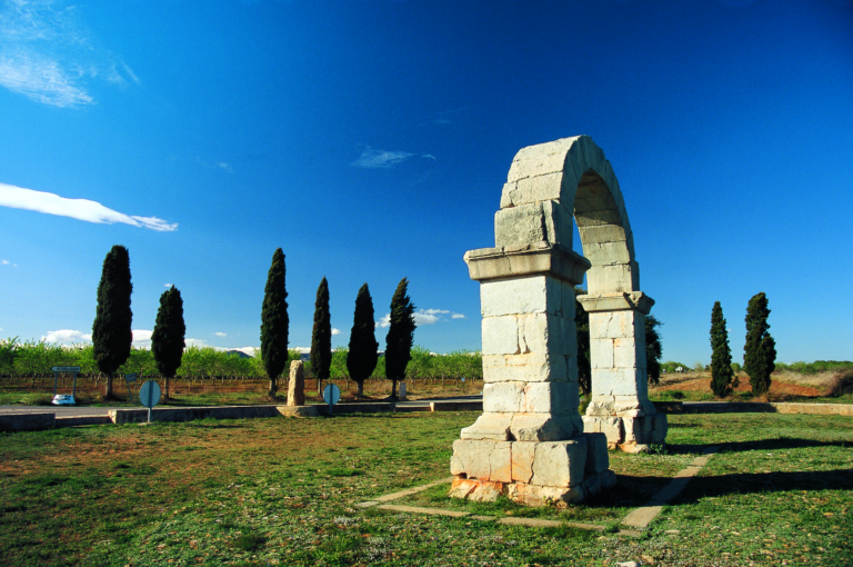
- Arch of Cabanes — Local legend says the Arch of Cabanes was built overnight by moonlight (32 km)
For the wider picture, see the full Costa del Azahar guide.
Frequently asked questions
How do I get from the provincial capital to Burriana?
Drive or take local transport along the CV‑18 or the N‑340 routes from Castelló de la Plana; those are the principal road connections into the municipality.
Is the main beach family‑friendly?
Yes. El Arenal is a long sandy beach and holds a Blue Flag, making it the most obvious family option in the area.
Which beach has the best facilities?
El Arenal is the primary beach with the main public facilities and Blue Flag status; other coastal stretches are more varied and can be quieter but with fewer services.
How many days should I plan for a visit?
Short stays of two or three days let you see the historic centre, visit the Sea Tower and spend relaxed time on the main beach. Extend your stay to explore nearby coastline and the agricultural landscapes if you prefer a slower pace.
Is the town good for families with kids?
Yes. A long sandy beach and a short distance between the centre and the seafront make the area convenient for family routines. Summer will be busier, which some families enjoy for the livelier atmosphere.
Can I get around without a car?
Yes. The centre, port and beaches are compact and walkable from central accommodation; for longer coastal exploring or trips into the surrounding orange groves a car is useful.
Is parking easy in high season?
Parking near the seafront becomes more competitive in summer when visitor numbers rise sharply; plan for this if you hope to park close to El Arenal during peak times.
What are rainy‑day options?
Indoor heritage stops such as the Church of El Salvador and short municipal museums or memorials provide alternatives to beach time. The town’s compact centre also makes it easy to find sheltered cafés and shops.
When is the busiest season?
Summer is the busiest; local notes indicate the seaside population can triple in that period, changing the feel of streets and public spaces.
Are there literary points of interest?
Yes. The town commemorates James A. Michener—he mentions the place in his book Iberia—so readers can follow memorials and references in town connected to his work.
How close is the sea to the town centre?
The main seaside area is approximately 1.5 km from the centre, a walkable distance for most visitors.
Is agriculture visible around the town?
Yes. The town is surrounded by orange groves irrigated by the Millars River; the agricultural landscape is a noticeable part of the approach and nearby countryside.
Does the town have historical defensive architecture?
Yes. The Sea Tower on the shore dates to the 16th century and is a tangible remnant of historical coastal defence in the area.
Is this a good base for exploring the Costa del Azahar?
It can be: the town is a coastal municipality with a long shoreline and practical connections by road to nearby provincial centres, offering a mix of beach and working‑town experience rather than an isolated resort bubble.
How large is the resident population?
The resident population exceeds 35,000, though summer visitors significantly increase the local headcount along the seafront.
Burriana on the map
Places worth knowing near Burriana
How this page is maintained. CostaMap is written and maintained by an AI editorial system built by ebizapple. Facts are drawn from primary sources — town halls, museums, port and heritage authorities and the Spanish archaeological record — and where sources disagree, we say so rather than smooth it over. Photographs marked as ours are taken on location. This page was last reviewed on 11 August 2026. Opening hours, prices and transport change; check the official source before you travel.