
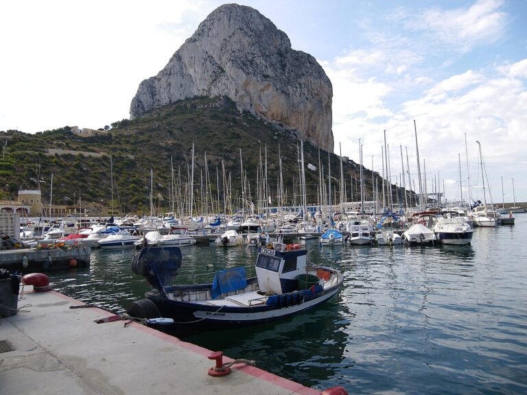
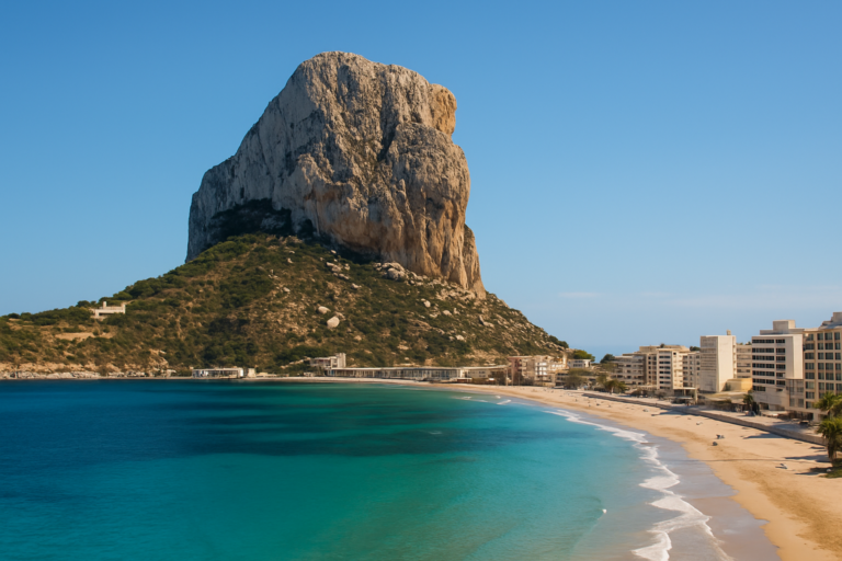
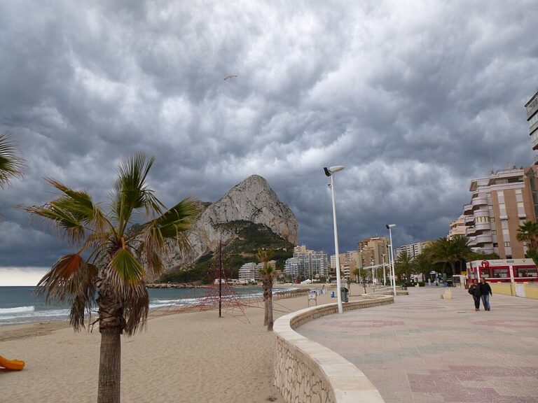
The Peñón de Ifach (Penyal d’Ifac) is the 332 m limestone rock joined to Calpe (Calp) by a narrow isthmus, and a natural park since 1987. The path up starts at the park’s visitor centre on the north side, and you need an online booking to walk it: the park allows 300 people a day and takes bookings up to 10 days ahead. The first part, to a tunnel cut in 1918, is easy; the stretch beyond it to the summit is not.

Quick facts
- Names: Peñón de Ifach (Spanish), Penyal d’Ifac (Valencian); the protected area is the Parc Natural del Penyal d’Ifac, in Calpe (Calp), Marina Alta.
- Size: 332 m high and about 1 km long; the natural park covers 53.3 ha and was declared on 19 January 1987.
- Booking: required for the Ruta Roja, the path from the visitor centre to the tunnel and the summit. The daily limit is 300 people, set in Article 26 of the park’s management plan (Decree 260/1993).
- To the tunnel: about 1.6 km there and back, rated easy, about 30 minutes up (park).
- To the summit: the Calp tourist office gives about 2 h 30 min for the whole walk; Turisme Comunitat Valenciana calls it an intermediate route of 4.6 km.
- Hours: the rock can be climbed from sunrise to sunset; access at night is prohibited. Visitor centre: Monday to Friday 8:30–14:30, weekends and holidays 9:00–14:00.
- Under-18s: the park’s rules say they may not continue past the tunnel.
Map and exact location
On the map: start of the path, 38.63741, 0.07382 (the turnstile by the visitor centre) · Penyal d’Ifac visitor centre · summit, 332 m · natural park boundary.
Access and parking
By road: the park says to come by the N-332 or the AP-7 motorway, leaving at the Benissa or Altea exits for Calpe, and then to follow the signs for the Peñón (Penyal d’Ifac Natural Park, how to get there).
Parking: the park advises parking at the port, which has suitable car parks and is a short walk from the information centre. At the park itself there is only a parking area for disabled drivers with a valid badge, open during the visitor centre’s hours.
Booking the path: book online through the link on the park’s website. You can book on the day itself if there is space, and at most 10 days ahead. Bookings are personal and non-transferable, and an officer of the authorities can ask to see yours at any time. The park has separate information for groups (checked Sept 2026).
Start of the path: a short uphill path inside the park leads to the information centre and the visitor centre. The trail starts right there, through a turnstile that counts the people going up (park, Ruta Roja description).
What to expect
Visitor centre to the tunnel: this is the section the park’s Ruta Roja description covers. A fenced path zigzags up the north face through coastal scrub, with stops at the Mirador de Poniente, the site of an Iberian settlement from the 4th–3rd century BC, a group of wind-bent pines, a rest area and the Mirador del Botánico Cavanilles, which marks one of the park’s two flora micro-reserves.

The tunnel: it was built in 1918 by one of the rock’s private owners to reach the other side of the mountain. The park says its floor is extremely slippery, worn by the number of people who have walked through it, and that ropes along the sides help you cross its 50 m length (the Calp tourist office gives it as about 30 m). On the far side a small platform looks east; on the clearest days you can see as far as Ibiza.
Beyond the tunnel: the Calp tourist office says the path narrows and a harder stretch begins, steep and uneven, up to the summit. The park does not describe this section; it says the path is dangerous, which is why under-18s may not continue past the tunnel, and its accessibility page says the upper part is neither easy nor adapted.
Plants and birds: the park counts more than 400 plant species on the rock, including endemics such as the Ifac silene (Silene hifacensis); yellow-legged gulls are there all year. The Calp tourist office lists Eleonora’s falcon and the cormorant among the birds.
Skip the summit if you are not steady on steep, uneven ground, are walking with children, or have not booked: the booking covers the whole path from the visitor centre, not only the top section.
Practical details
- Visitor centre: C/ Illa de Formentera, s/n, 03710 Calp, on the north side of the rock; tel. 965 693 300. Open Monday to Friday 8:30–14:30, weekends and holidays 9:00–14:00 (park, visitor centre). It is closed on 1 and 6 January and on 24, 25 and 31 December, and it may be shut on days with guided activities outside, so the park suggests calling 679 195 912 first.
- Water: the only fountains are at the start of the path, and there are no vending machines in the park.
- Footwear: the park recommends mountain boots or similar and advises against flip-flops and heels.
- Rules: stay on the marked path, keep dogs on a lead, no fires, no drones (Decree 260/1993, Art. 22). Bikes are not allowed on the path up, only in the public area such as the Mirador de Levante and the car park (park, visitor recommendations).
- Climbing: climbing is banned on the north and north-west faces in April, May and June, while peregrine falcons nest.

Accessibility and safety
The park calls the Ruta Roja partly adapted, and only as far as the tunnel: there is a ramp at the start, the path is lined with wooden railings, and it can still be difficult for people with reduced mobility. Going on to the summit is strongly advised against, as it is neither easy nor adapted. The Mirador de Levante, a short loop of small viewpoints with benches, is adapted for everyone, and the information centre, exhibition, picnic area and car park have step-free access (park, accessibility). The park’s safety advice: check the weather forecast before you go, tell someone your route if you walk alone, charge your phone, and do not let darkness catch you on the rock. The emergency number is 112.
Best time to visit
The park recommends the walk all year except in the rainy months of October and November. Spring brings the flowering of the rock’s more than 400 plant species. In summer, avoid the middle of the day because of the heat, and start early in the morning. The path is open from sunrise to sunset, and the visitor centre only in the morning and early afternoon.
Nearby alternatives
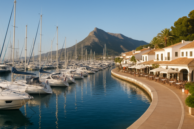
- Marina Greenwich (Altea), 6.6 km away: the marina at Altea-Campomanes.
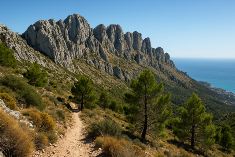
- Sierra de Bernia, 11 km away: the limestone ridge between Altea and Calp.
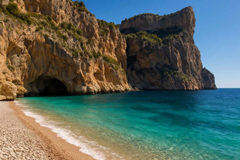
- Cala del Moraig (El Poble Nou de Benitatxell), 11 km away: a pebble cove between cliffs.
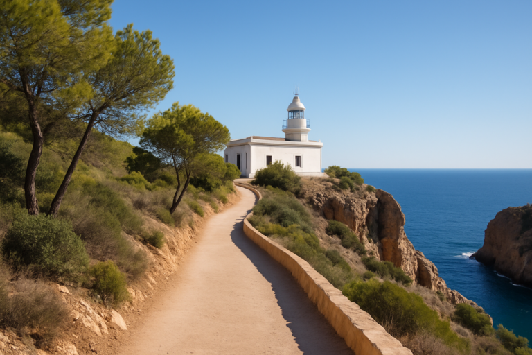
- Faro del Albir (l’Albir Lighthouse), 14 km away: the lighthouse walk in the Serra Gelada park.
- Serra Gelada Natural Park, 14 km away: the cliff ridge between Albir and Benidorm.
- For where to stay and eat, see our Calpe town guide, Altea town guide, Moraira town guide and Benissa town guide.
- Paraiso Camper, about 1.5 km away: the nearest campsite you can book through Campcation (affiliate link).
Distances are in a straight line from the start of the path by the visitor centre.
FAQ
Do you need to book to climb the Peñón de Ifach?
Yes. The path from the visitor centre to the tunnel and the summit needs an online booking, with a limit of 300 people a day. You can book up to 10 days ahead, or on the day if there is space, and the booking is personal.
How long does it take to climb the Peñón de Ifach?
To the tunnel, about 30 minutes up on an easy 1.6 km return path. For the whole walk to the 332 m summit and back, the Calp tourist office gives about 2 h 30 min.
Can children climb to the top?
Not past the tunnel. The park’s rules say under-18s may not continue beyond it because the path is dangerous. The section from the visitor centre to the tunnel is rated easy.
Where do you park for the Peñón de Ifach?
The park advises parking at Calpe’s port, a short walk from the information centre. The only parking in the park is for drivers with a disabled badge, during the visitor centre’s hours.
Is the Peñón de Ifach wheelchair accessible?
Partly. The path is partly adapted as far as the tunnel, with a ramp at the start, but it can be difficult with reduced mobility. The Mirador de Levante viewpoint loop is adapted for everyone, and the information centre has step-free access.
Sources and freshness
Checked 30 September 2026. Official: Penyal d’Ifac Natural Park (Generalitat Valenciana) on booking and the daily limit, the Ruta Roja, visitor recommendations and rules, the visitor centre and hours, accessibility, how to get there, the park in brief and climbing; Calp tourist office on the Peñón de Ifach (Spanish version); Turisme Comunitat Valenciana, Penyal d’Ifac Natural Park. Location: OpenStreetMap contributors (ODbL). Photos: Wikimedia Commons, licences as credited.
Nearby on the Costa Blanca
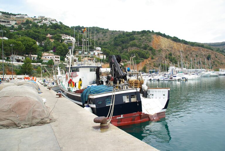
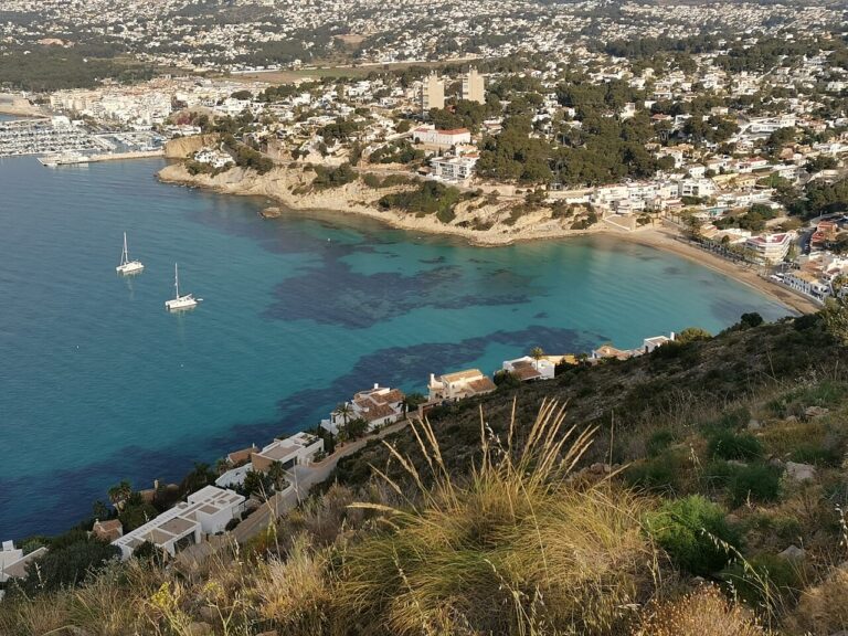
Penon De Ifach on the map
Places worth knowing near Penon De Ifach
This place is part of our Costa Blanca, Spain: towns, beaches and where to stay — see every town, beach and cove we have mapped on that coast.
How this page is maintained. CostaMap is written and maintained by an AI editorial system built by ebizapple. Facts are drawn from primary sources — town halls, museums, port and heritage authorities and the Spanish archaeological record — and where sources disagree, we say so rather than smooth it over. Photographs marked as ours are taken on location. This page was last reviewed on 30 September 2026. Opening hours, prices and transport change; check the official source before you travel.