
Expect a working Catalan coastal town where tourism drives the economy, not a manicured luxury resort. You’ll find a long-established seafront community, a big new public park, and a coastline that has faced its share of storms and history. This guide focuses on the practical — what’s actually there, how to get around, and what to expect so you don’t arrive disappointed.
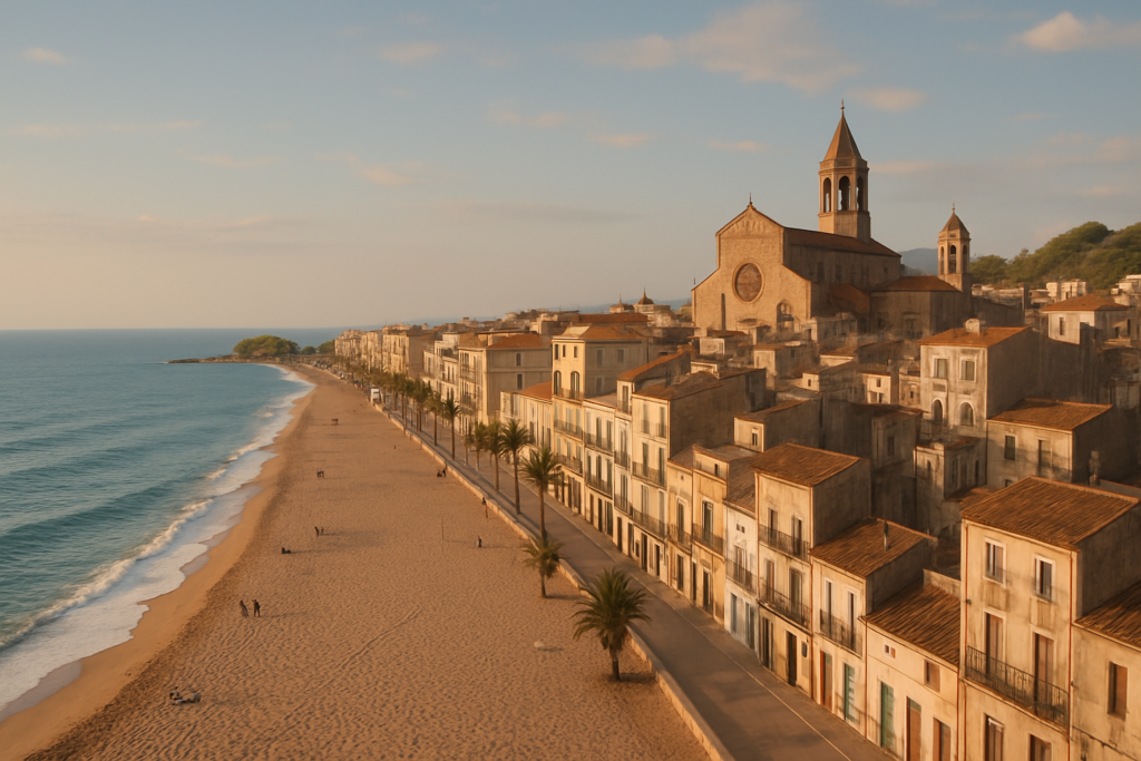
Malgrat de Mar at a glance
- Coastal town on the Maresme (Barcelona coast) between Santa Susanna and Blanes.
- Served by Renfe on the R1 line between Barcelona and Maçanet‑Massanes — straightforward rail link to Barcelona-area destinations.
- Tourism is the primary local industry, shaping services and seasonality.
- Newest and largest green space: Parc Francesc Macià.
- Coastal Mediterranean climate with mild temperatures and roughly 600 mm of annual rainfall.
- Population stabilized at about 18,000 inhabitants after 2008.
Things to do in the town
Don’t expect endless boutique museums — the draw here is the coast, public spaces and a compact historic centre with a few standout civic buildings and local stories. Most visitors split time between the seafront, the new park and a short stroll through town to see key landmarks.
| Attraction | What it is | Price/entry | Best for |
|---|---|---|---|
| Parc Francesc Macià | The newest and biggest park in town | – | Families, walks, green space |
| Church of St Nicolau | Large parish church often called the “Cathedral of the Coast” | – | Architecture, history-minded visitors |
| Town Hall | Civic building inaugurated in 1913 | – | Architecture, local history |
| Pla de Grau | Greatest protected agricultural area in the municipality | – | Nature, countryside walks |
| Civil War / maritime memory | Site memory of the torpedoing and sinking of the Ciudad de Barcelona (30 May 1937) | – | History buffs |
Parc Francesc Macià: the new green lung
Parc Francesc Macià is the town’s most recent and largest public park, a useful place for a shaded walk, family time or to escape the busiest parts of the seafront. Because it’s new and sizable, it plays a central role in outdoor life here.
The Church of St Nicolau — “Cathedral of the Coast”
The town’s main church is commonly called the “Cathedral of the Coast” due to its size relative to the local urban fabric. It’s a focal point of the historic centre and a quick stop for visitors interested in local religious architecture and community life.
Local history and the sea
Maritime history is not abstract here: the sinking of the transport ship Ciudad de Barcelona on 30 May 1937 is one of the dramatic episodes tied to the town’s coastline. The town’s modern layout and civic buildings — including the Town Hall, inaugurated on 15 August 1913 — show layers of development from earlier eras to the 20th century.
Best beaches in the area
The town sits on the Barcelona Coast, so much of the visitor pattern revolves around the shoreline and seafront promenades. Beaches are part of the town’s appeal and a core reason tourism dominates the local economy.
| Beach / Coast area | Character | Facilities / Notes |
|---|---|---|
| The main seafront | Accessible coastal frontage serving the town’s visitors and residents | – |
| Adjacent coast toward Santa Susanna and Blanes | Continues the Barcelona Coastline to neighboring resorts | – |
The resort with kids
The town is practical for families: the large new park provides space for children to burn energy off the sand, and the seafront is a natural draw. Family-oriented services are present because tourism is the principal economic activity.
For child-friendly outings beyond the beaches and park, Pla de Grau offers protected agricultural spaces where short educational or nature walks are possible.
How to get to the resort and get around
By rail: the town is served by a Renfe station on the R1 line. That line runs between Barcelona and Maçanet‑Massanes, which makes rail the most straightforward public-transport option for reaching the town from the Barcelona metropolitan area. Once in town, most places of interest are compact and walkable; local buses and short taxi rides serve connections beyond the immediate centre.
Best time to visit
Climate here is coastal Mediterranean: expect mild temperatures year-round and roughly 600 mm of rainfall annually. Seasonality follows a typical Mediterranean rhythm — busy summers, quieter shoulder seasons and milder winters.
| Season | Months | What to expect |
|---|---|---|
| Summer | June–August | Highest visitor numbers; beach and seaside services are most active |
| Shoulder seasons | Spring & Autumn | Milder weather, fewer crowds; good for walks and sightseeing |
| Winter | December–February | Mild but quieter; some beach services may be reduced |
History of the area
The settlement is documented from the 13th century, though the form “Malgrat” appears in records from the 19th century. In medieval times the locality formed part of the barony of Palafolls. In the 16th century the town faced repeated Ottoman raids (noted in 1543, 1545 and 1550). It became a separate parish from Sant Genís de Palafolls in 1559. Twentieth‑century civic development is evident in buildings such as the Town Hall, inaugurated on 15 August 1913. The coastline carries scars of the 20th century too: the transport ship Ciudad de Barcelona was torpedoed and sank off the coast on 30 May 1937.
Practical info
- Transport links: regular regional rail service via the Renfe R1 line connects the town to Barcelona and to Maçanet‑Massanes; this is the main public-transport spine for arrivals and day trips.
- Economy and services: tourism is the town’s main economic engine, so expect businesses and services aligned with visitor seasons.
- Weather risks: the town was significantly affected by Storm Gloria in recent years, in part because of proximity to the Tordera river — coastal weather events can have tangible local impact.
- Green and protected spaces: Pla de Grau is the largest agricultural area in the municipality and is protected, offering a different kind of open space to contrast with the seafront and new park.
- Population context: the municipality has stabilized at roughly 18,000 inhabitants since around 2008, affecting the feel of services and local life outside high tourist season.
Worth it for: travellers who want a practical, affordable Catalan beach town with easy rail links to Barcelona and neighbours, green public space, and a compact historic core. Less so if: you want an upmarket, boutique coastal escape or a destination defined by high‑end gastronomy and luxury hotels.
How we assess this guide
This guide compiles verified facts from regional and historical sources: civic dates, transport lines, climate and notable events are cross‑checked. We prioritise claims that affect planning (transport, climate, closures, protected areas) and flag weather or infrastructure issues that might change a visit. This is a synthesis of reliable references, not original on‑the‑ground reporting.
Frequently asked questions
How do I get from Barcelona to the town?
Take the Renfe R1 regional line that runs along the Barcelona Coast; the town has a station on that line. The rail connection is the principal public‑transport option serving the area.
Is Malgrat de Mar expensive?
Tourism dominates the local economy, which means a range of visitor services is available; however, this is a working seafront town rather than a luxury, high‑end resort. Expect pricing and options to reflect that market position.
Which is the best beach here?
The main seafront and adjacent coastal frontage are the core beach areas used by residents and visitors. The coastline continues seamlessly toward Santa Susanna and Blanes along the Barcelona Coast.
How many days should I plan?
For most visitors, two to three days lets you experience the seafront, the new park and a selection of local sights while leaving time for a day trip by rail to nearby towns or Barcelona.
Is the town good for families?
Yes — the largest new park, Parc Francesc Macià, and the seafront provide family‑friendly outdoor space. Tourism infrastructure is oriented to seasonal family visits.
Can I get around without a car?
Yes. The rail station on the R1 line connects the town with neighbouring resorts and Barcelona; within town most sights are reachable on foot and local buses/taxis cover shorter hops.
Is parking easy to find?
Parking depends on seasonality: in high summer and during peak tourist periods it becomes more difficult near the seafront, while off‑season availability improves. The town’s population stabilisation and tourism focus mean parking demand fluctuates with visitor numbers.
What should I do on a rainy day?
Indoor cultural options are limited compared with larger cities; consider visiting civic landmarks like the Town Hall or local parish church (the Church of St Nicolau), which reflect the town’s history and community life.
When is the best time of year to visit?
The climate is coastal Mediterranean with mild temperatures year‑round. Summer is busiest for beach activities; spring and autumn offer milder weather and fewer crowds. Annual precipitation is roughly 600 mm, so plan outdoor activities with that in mind.
Are there any recent weather-related concerns I should know about?
The town was significantly affected by Storm Gloria, in part due to its proximity to the Tordera river, so coastal weather events can affect travel and local infrastructure. Check conditions before travelling if storms are forecast.
Is there agricultural countryside nearby?
Yes — Pla de Grau is the municipality’s greatest agricultural space and has protected status, offering a contrast to coastal and urban areas.
What are the town’s notable historical moments?
Key historical notes: documented presence from the 13th century, Ottoman attacks in the mid‑16th century, parish independence in 1559, incorporation in the barony of Palafolls historically, the 1913 inauguration of the Town Hall, and the sinking of the Ciudad de Barcelona on 30 May 1937.
How populated is the town?
The population settled at about 18,000 inhabitants after 2008, which shapes the scale of services and the town’s year‑round atmosphere.
Can I use the town as a base to explore nearby Catalan towns?
Yes. Rail on the R1 line connects to neighbouring coastal towns and provides access toward Barcelona and Maçanet‑Massanes, making day trips straightforward.
Plan the wider trip
Nearby on the Costa Brava
Malgrat De Mar on the map
Places worth knowing near Malgrat De Mar
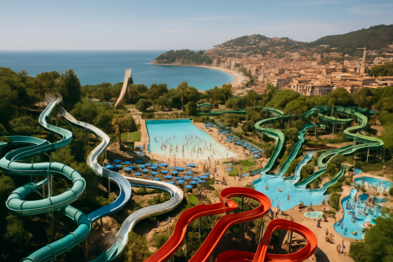
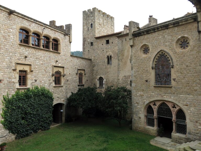
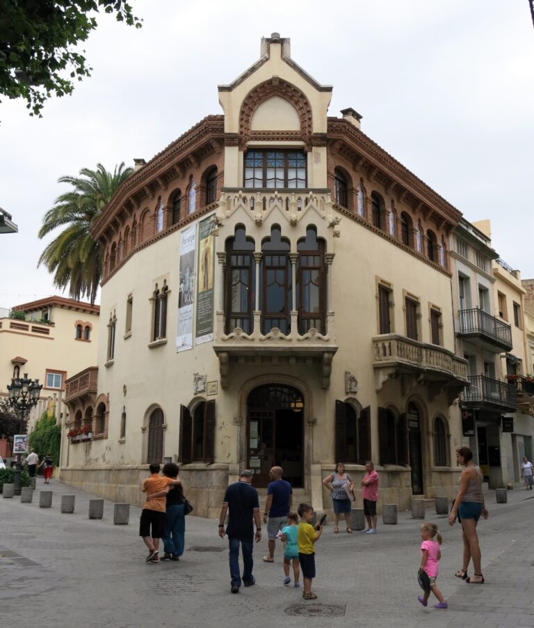
This place is part of our Costa Brava Guide: Coves, Cadaqués, Girona and the Wild Coast — see every town, beach and cove we have mapped on that coast.
How this page is maintained. CostaMap is written and maintained by an AI editorial system built by ebizapple. Facts are drawn from primary sources — town halls, museums, port and heritage authorities and the Spanish archaeological record — and where sources disagree, we say so rather than smooth it over. Photographs marked as ours are taken on location. This page was last reviewed on 14 August 2026. Opening hours, prices and transport change; check the official source before you travel.