
Costa Cálida · East
La Manga and Cabo de Palos travel guide: two seas and a lighthouse
A 21 km sand bar with the calm Mar Menor on one side and the open Mediterranean on the other, a fishing village under a lighthouse, a marine reserve for divers and the wild coves towards Calblanque.
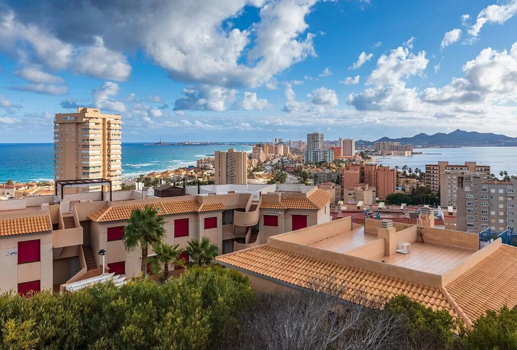
La Manga from the Monte Blanco viewpoint · Photo: Ximonic (Simo Räsänen), CC BY-SA 4.0
Part of the Costa Cálida guide · East: La Manga and Cabo de Palos
La Manga and Cabo de Palos is the eastern stretch of the Costa Cálida in the Region of Murcia: the La Manga del Mar Menor sand bar, which runs for about 21 km from Cabo de Palos north to Veneziola, and the cape and village of Cabo de Palos at its southern root. The southern part of La Manga and Cabo de Palos belong to the municipality of Cartagena, the northern part of La Manga to San Javier; on the Mediterranean side the coast continues south-west past Cala Reona into the Calblanque regional park (Murcia Turismo).
At a glance
- Where from Calblanque and Cala Reona in the south-west, round the cape of Cabo de Palos, and north along La Manga past the El Estacio channel to Veneziola. La Manga is between 200 m and 1.5 km wide.
- Towns Cabo de Palos and Cala Reona; La Manga with Entremares, Monte Blanco, Plaza Bohemia, El Zoco and Veneziola; Los Belones and La Manga Club inland.
- Best for beach holidays with a choice of two seas, sailing and windsurfing, diving in the Cabo de Palos marine reserve, caldero in the harbour, and walks to Calblanque.
- Getting there Región de Murcia airport (RMU) is about 42 km from Cabo de Palos and Alicante-Elche about 59 km from Veneziola, in a straight line. By road: the Alicante–Cartagena motorway, exit 800, then the MU-312 to La Manga.
Map of La Manga and Cabo de Palos
The map shows the places on this stretch that have a CostaMap page. Tick a place type to filter, and click a marker to see the place in the panel.
Place type
Area · next level
 Area map
La Manga and Cabo de Palos
Click a marker to see the place here. From Calblanque and Cabo de Palos north along La Manga to Veneziola, with the islands offshore.
Towns and beachesTowns and villages
From the edge of Calblanque round the cape and north up the strip. Facts are from the Murcia regional tourist board (Murcia Turismo); distances are straight-line from OpenStreetMap. La Manga addresses are kilometre points on its main road, the Gran Vía, counted from Cabo de Palos.
Cala Reona
Cala Reona is a small residential area and cove on the Mediterranean side of the Cabo de Palos peninsula, about 2.8 km south-west of the lighthouse. Its beach is 200 m of fine golden sand with toilets, parking and a bus stop (Murcia Turismo). The tourist board describes Cala Reona as the point where the coast of the Calblanque regional park begins, and recommends the trail from here to the Calblanque beaches, past palms, lavender, thyme and old mine shafts (Murcia Turismo, La Manga). See our new Cala Reona guide and the Calblanque guide.
Cabo de Palos
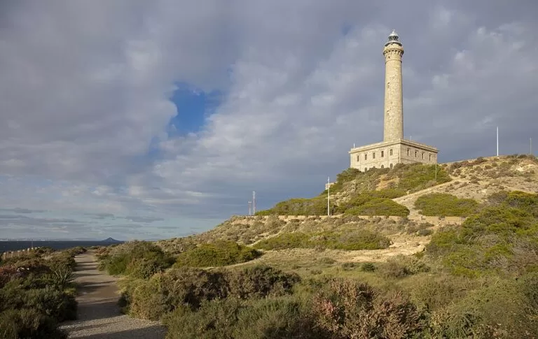
Cabo de Palos is the fishing village on the cape at the southern end of La Manga, part of Cartagena. Its landmark is the stone lighthouse, first lit on 31 January 1865 on the site of a 16th-century watchtower built against pirates (Murcia Turismo). Life turns round the harbour, shared by fishermen and dive boats. On one side the Zeneta quarter keeps low houses with porches facing the sea; on the other, the Paseo de la Barra has terraces where caldero is the star dish (Murcia Turismo, harbour). See our Cabo de Palos guide and the new Cabo de Palos Lighthouse guide.
Las Amoladeras and Entremares
Where Cabo de Palos meets La Manga lies the Espacio Litoral de Las Amoladeras, a stretch kept free of building because of its natural and archaeological value. It keeps one of the last dune systems on La Manga, and avocets, little terns and flamingos nest there. The name comes from an Eneolithic site where many grinding stones were found, left by people who settled here about 5,000 years ago; finds are in the Archaeological Museum of Cartagena (Murcia Turismo). Next to it, from km 0.5, runs Playa del Barco Perdido or Entremares, 2,000 m of sand on the Mediterranean, by the Entremares shopping centre (Murcia Turismo).
La Manga south: Galúa, Monte Blanco and Plaza Bohemia
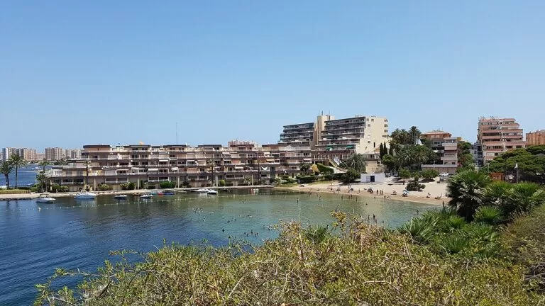
The first kilometres of the strip belong to Cartagena. At km 2.5 a gola, one of the channels that let Mediterranean water into the Mar Menor, gives its name to Playa de La Gola, a shallow lagoon beach. Opposite, on the open sea, are Galúa beach (980 m) and the Mirador del Galúa, a seafront square with viewpoints opened in summer 2020. Monte Blanco has shaded viewpoints over the whole strip, and at km 3.5 Plaza Bohemia is one of the two nightlife hubs the tourist board names, by Playa Calnegre (500 m) (Murcia Turismo). On the lagoon side, Cala del Pino is a 150 m cove of calm water with a sailing school and boat hire (Murcia Turismo).
La Manga north: El Zoco to Tomás Maestre
From about km 3.5 the strip belongs to San Javier. El Zoco, the other nightlife hub, sits behind Banco del Tabal, a 1,400 m Mediterranean beach. On the inner shore, Mistral beach has a tourist information point, a first-aid post and assisted bathing in summer (Murcia Turismo). Further north, the Puerto Deportivo Tomás Maestre lies on the Mar Menor and connects to the Mediterranean by a navigable channel, making it a gateway between the two seas (Murcia Turismo). Outside it, El Estacio beach runs for 2,900 m, from km 10 to km 12.5 (Murcia Turismo).
Veneziola
Veneziola is where La Manga ends. The tourist board describes it as planned as a small residential Venice and recommends its beaches for a quiet swim; it also mentions the Puente de la Risa, a bridge so steep that drivers cross it again and again for fun (Murcia Turismo, La Manga). Playa La Veneziola, on the Mar Menor from km 16.4 to 18.6, is 1,500 m of coarse sand with calm water and toilets (Murcia Turismo). Opposite, on the open sea, Ensenada del Esparto (2,600 m) and El Pudrimel (1,500 m) are rated low occupancy. Off the north of the strip lies Isla Grosa, about 3.7 km from Tomás Maestre.
Los Belones and La Manga Club
Los Belones is an inland village of Cartagena on the road to La Manga, about 6 km west of Cabo de Palos. Beside it, in the low hills between the two seas, is La Manga Club, which the tourist board calls the region’s premier resort: about 450 hectares, with restaurants, sports facilities, accommodation and golf (Murcia Turismo).
Beaches and coves
The warm, shallow Mar Menor on the inner side, or the open Mediterranean outside and round the cape. Lengths from Murcia Turismo.
Lagoon beaches
Calm, shallow water for children and sailing: Cala del Pino (150 m), Playa de La Gola, Puerto Bello (500 m) and Cavanna (700 m) in the Cartagena part; El Galán, Poniente (900 m), Mistral and La Veneziola (1,500 m) in San Javier.
See the La Manga guide →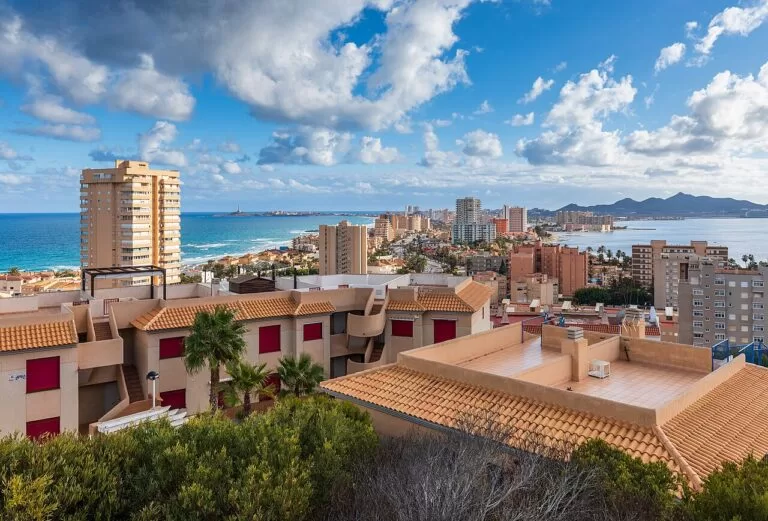
Outer beaches
Long sand with waves on windy days: Entremares (2,000 m), Galúa (980 m), Calnegre (500 m) and Banco del Tabal (1,400 m) in the busy south; El Estacio (2,900 m), Ensenada del Esparto (2,600 m) and El Pudrimel (1,500 m), quieter, further north.
Ensenada del Esparto on Murcia Turismo →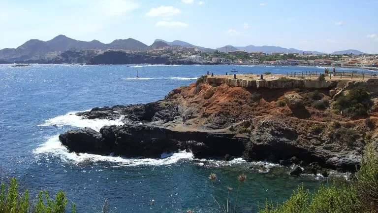
Coves of the cape
From Cala Reona to the lighthouse: El Descargador, Cala Flores, Cala Medina, La Barra, Cala del Muerto, Cala Roja, Calafría and Cala Túnez, some reached by steps from the coastal path and all good for snorkelling (Murcia Turismo).
See the Cabo de Palos guide →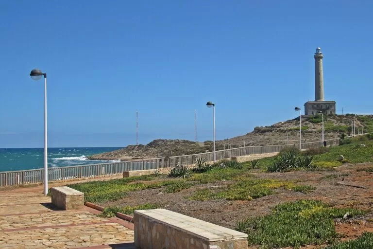
Playa de Levante
The beach that joins La Manga to Cabo de Palos, by the lighthouse. Murcia Turismo rates it accessible, with an adapted toilet, amphibious chairs and assisted bathing in summer, and lists kayak, snorkel and open-water swimming routes.
See the lighthouse guide →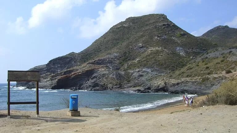
Cala Reona
200 m of fine golden sand at the start of the Calblanque coast, rated low occupancy, with toilets, parking and a bus stop.
See the Cala Reona guide →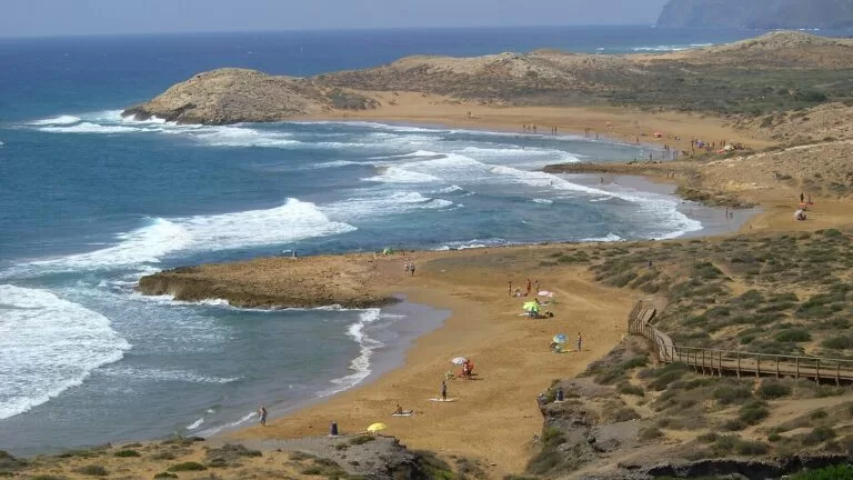
Calblanque
The tourist board calls the Calblanque regional park a must-see: vast golden beaches, hidden bays and no resort buildings, reached from Los Belones or on foot from Cala Reona.
See the Calblanque guide →Things to do
Nature: the marine reserve, islands and dunes
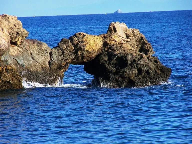
The Cabo de Palos–Islas Hormigas marine reserve is the region’s best-known dive area, with a large posidonia meadow and many historic wrecks. Inside it, the Bajo de Fuera is a 100 m rocky bar with pinnacles just 3 m below the surface, where the Sirio, the Nord América and the Minerva sank; outside it, the volcanic islets of El Farallón and Isla Grosa lie 1.2 nautical miles from Tomás Maestre (Murcia Turismo, diving). The Islas Hormigas are about 2.5 miles off the coast (spain.info). On land, the Amoladeras dunes and the Calblanque park are the wild parts of the stretch. Boat trips round the Mar Menor and its volcanic islands also run from La Manga.
History: the lighthouse, wrecks and a 5,000-year-old site
The Cabo de Palos Lighthouse was begun in 1863 to a design by Leonardo de Tejada and lit in 1865: a 54 m Tuscan column on a square base 20 m a side. The esplanade is free; inside is by guided visit only (Murcia Turismo). By the harbour church, the Centro de Documentación y Exposición de Cabo de Palos covers the wrecks off the cape; groups of 10 or more by appointment, €5 a head (Murcia Turismo, checked November 2026). Las Amoladeras is an Eneolithic site about 5,000 years old.
Water sports and food
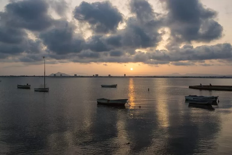
With two seas, La Manga is built for water sports: sailing, windsurfing, kitesurfing, canoeing and diving schools, many of them in the Estación Náutica Mar Menor, which groups sailing and tourist services round the lagoon. For food, it points to the chiringuitos, beach bars serving rice and fried fish, and to caldero, the rice of the Mar Menor and Cabo de Palos, served with bream and alioli (Murcia Turismo, La Manga). Cabo de Palos also holds a well-known Sunday market.
Walking: the signed Sendero Azul La Manga–Cabo de Palos is an easy 7.5 km there and back from the Entremares shopping centre, via Playa de Levante, the lighthouse, the coves and the harbour (Murcia Turismo).
Where to stay by town
La Manga stays open in autumn and winter, the tourist board notes. The bases we would choose:
Cabo de Palos
A village with a harbour, restaurants, coves and the lighthouse. Best for divers, couples and food.
Diving, coves, calderoLa Manga south (Cartagena)
Apartment blocks and hotels between km 0 and 3.5, close to Plaza Bohemia, the Galúa viewpoint and both seas within a few minutes’ walk. Best for families and nightlife.
Two seas, busy
La Manga north and Veneziola (San Javier)
Quieter stretches near the Tomás Maestre marina and Veneziola, with less crowded beaches. Best for sailors and a calm week.
Marina, quiet beachesLos Belones and La Manga Club
Inland, next to Calblanque, with golf. You need a car for the beaches.
Golf, nature, spaceGetting there and around
By air
Región de Murcia International Airport (RMU) is about 42 km from Cabo de Palos and 35 km from Tomás Maestre in a straight line; Alicante-Elche is about 59 km from Veneziola and 74 km from Cabo de Palos (OpenStreetMap).
By car
From the Alicante–Cartagena motorway take exit 800 onto the MU-312 fast road to the Mar Menor beaches, La Manga and Cabo de Palos (Murcia Turismo).
By bus
The tourist board lists Alsa buses on the Cartagena–La Manga line and a Murcia–La Manga line for Cabo de Palos, and Movibus lines 43 and 44 along the Gran Vía of La Manga. We did not check 2026 timetables; there is no railway on this stretch.
A two-day route
By car and on foot, with a night in Cabo de Palos or La Manga.
Day 1
Cabo de Palos: lighthouse, coves and caldero
Walk the Sendero Azul from Entremares past Las Amoladeras to the lighthouse and down the coves path to the harbour. Snorkel at Cala Túnez or Calafría, or dive the reserve if certified. Eat caldero on the Paseo de la Barra.
Day 2
Calblanque in the morning, La Manga in the afternoon
Walk from Cala Reona into Calblanque early. In the afternoon drive up La Manga: the Monte Blanco view, a sail or boat trip on the Mar Menor, and sunset at Veneziola.
FAQ
How long is La Manga del Mar Menor?
About 21 km, from Cabo de Palos to Veneziola, and between 200 m and 1.5 km wide, according to the Murcia tourist board.
Is La Manga in Cartagena or San Javier?
Both. The southern part, from Cabo de Palos to around km 3.5 of the Gran Vía, is in Cartagena; the northern part, with El Zoco, Tomás Maestre and Veneziola, is in San Javier.
Which side of La Manga is better for swimming?
The Mar Menor side has calm, shallow water for children and beginners; the Mediterranean side has longer beaches and waves on windy days.
Can you dive at Cabo de Palos?
Yes. The Cabo de Palos–Islas Hormigas marine reserve is the region’s best-known dive area, with wrecks such as the Sirio. Dive centres are based round the Cabo de Palos harbour.
Can you visit the Cabo de Palos Lighthouse?
The esplanade is free and open; the inside only on guided visits run by private companies.
What is the nearest airport to La Manga?
Región de Murcia International (RMU), about 35–42 km in a straight line. Alicante-Elche is about 59–74 km away.
Other areas of the Costa Cálida
Costa Cálida
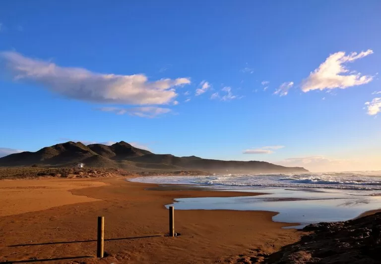
The whole coast of the Region of Murcia, with the map and the four areas.
Costa Cálida guide →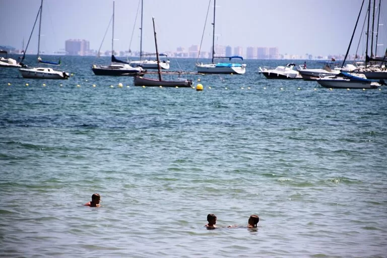
Mar Menor north: San Pedro, San Javier, Los Alcázares
Calm lagoon beaches, the salt flats of San Pedro and the mud pools of Lo Pagán.
Mar Menor north guide →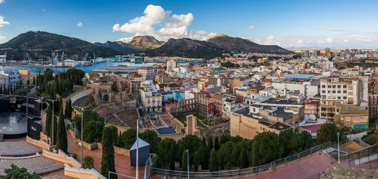
Cartagena and La Unión
The Roman and naval port city and the old mining town, next door to the south-west.
Cartagena and La Unión guide →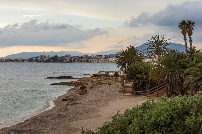
Mazarrón and Águilas
Coves, Phoenician wrecks and the castle of Águilas towards Almería.
Mazarrón and Águilas guide →Sources and freshness
Checked 7 November 2026. Murcia regional tourism (Instituto de Turismo de la Región de Murcia) on La Manga, Cabo de Palos, the Cabo de Palos harbour, the lighthouse, the Centro de Documentación, diving, Las Amoladeras, the Sendero Azul, the Mirador del Galúa, Monte Blanco, Tomás Maestre, La Manga Club and beach sheets for Cala Reona, the Cabo de Palos coves, Levante, Entremares, Galúa, La Gola, Puerto Bello, Cavanna, Cala del Pino, Calnegre, Banco del Tabal, El Galán, Poniente, Mistral, El Estacio, Ensenada del Esparto, El Pudrimel and La Veneziola. Spain.info on Cabo de Palos. Map data, airports and straight-line distances: OpenStreetMap (ODbL). The town hall sites of Cartagena and San Javier and the regional parks site could not be reached, so bus timetables, lifeguard dates and park access rules are not given. Photos from Wikimedia Commons: La Manga from Monte Blanco by Ximonic (Simo Räsänen) (CC BY-SA 4.0); Cala del Pino by P4K1T0 (CC BY-SA 4.0); Cabo de Palos rocks by INDALOMANIA (CC BY-SA 3.0); the path to the lighthouse by Pimawipa (CC BY-SA 4.0); Cala Reona by INDALOMANIA (CC BY-SA 3.0); Calblanque coves by INDALOMANIA (CC BY-SA 3.0); rock arch near Cabo de Palos by Rupert Ruppeldt (CC BY 3.0); Cabo de Palos Lighthouse by Werner Wilmes (CC BY 2.0); boats on the Mar Menor by Pedro J Pacheco (CC BY-SA 3.0 es); old fishing house in the Mar Menor by Werner Wilmes (CC BY 2.0); Playa de Calblanque by José Miguel Grandal (CC BY-SA 4.0); Los Alcázares by Fanny S Forsdik (CC BY-SA 3.0); Cartagena and Playa de la Raja by Ximonic (Simo Räsänen) (CC BY-SA 4.0).