
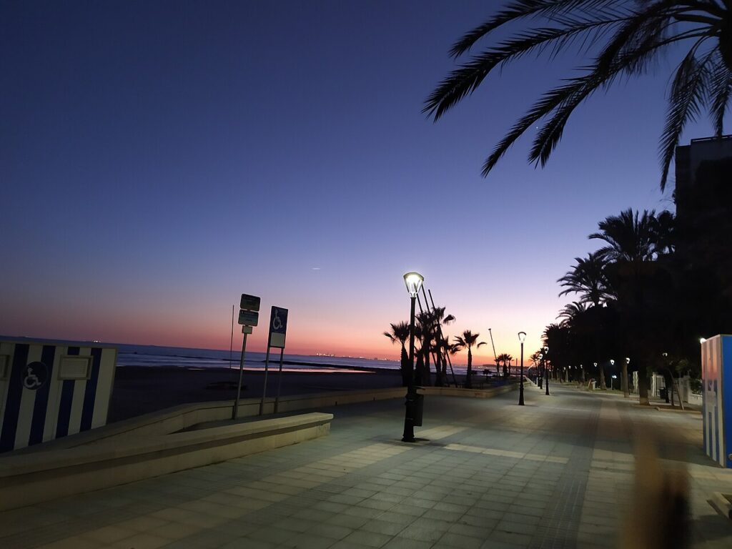
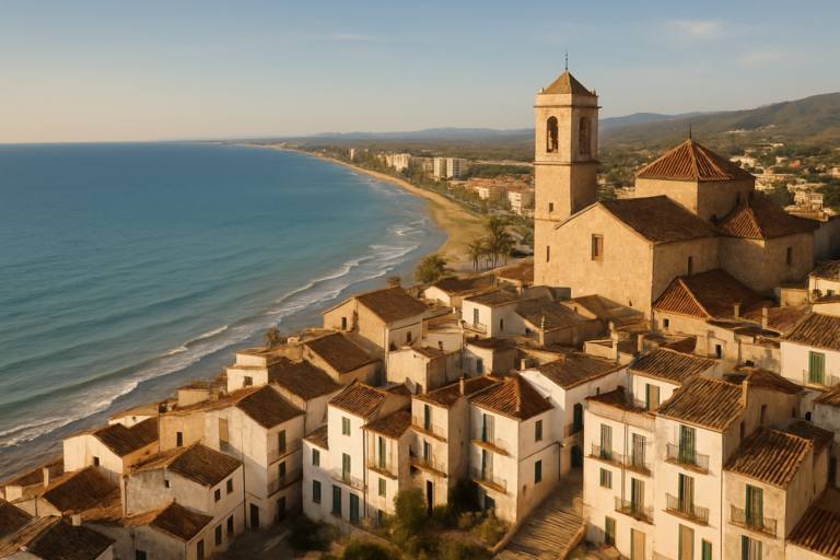
Benicàssim is a beach town of about 20,500 residents in the province of Castellón, and it suits people who want sand, a flat seafront and a bit of architecture without the scale of a big resort. Its beaches are the main draw, with Els Terrers running for 1,700 m, while a row of Belle Époque villas and a natural park behind the town give you something to do when you tire of the sea. It is part of our Costa Azahar guide.
Quick facts
- Where: Benicàssim, La Plana Alta county, Castellón province, Valencian Community. Castelló de la Plana, the provincial capital, is the next city south.
- Residents: 20,539 on 1 January 2025 (INE).
- Beach: yes, in town. Five named beaches line the seafront, from Voramar (600 m) to Els Terrers (1,700 m).
- Nearest airports: Valencia (Manises) is 80 km, about 50 minutes away; Reus is 180 km and Barcelona 260 km, according to the Benicàssim tourist office. Castellón Airport lies on the CV-13 at Benlloch.
- Train: Benicàssim has its own station on Avinguda de la Mediterrània.
- Language: Valencian and Spanish.
- Walk and cycle: the Vía Verde del Mar runs 5.5 km to Oropesa del Mar, 11 km there and back.
- Signature event: the FIB music festival, held every year since 1995.
Where to base yourself
The town stretches along the shore, so the choice is about which stretch of seafront you want, not which neighbourhood. The sources describe the layout only loosely, so treat the three options below as a way to think about it and check a map before booking.
Near Els Terrers and Heliòpolis
These are the long central beaches. Els Terrers is described by the regional tourist board as 1,700 m long and about 30 m wide, bordered by breakwaters that form two sheltered inlets. Heliòpolis has a long promenade and the Biblioteca del Mar (Sea Library). This is the natural base for a beach-first week, and the Generalitat’s sailing school, Escola de la Mar, is on Els Terrers if you want to try a boat.
Around the villas and Voramar
Voramar is the smaller beach, about 600 m long and 30 m wide, backed by early 20th-century villas. Staying here puts you beside the older seafront and the Villa Route, and the beach has a promenade, showers and a children’s play area according to the regional tourist board. It suits couples and anyone who likes to walk.
Close to Torre de Sant Vicent
Torre de Sant Vicent is named for the 16th-century watchtower above it, and the tourist office says it is one of the busiest beaches in summer. Choose it if you want to be near the tower and the seafront activity rather than the quieter villa streets.
Skip Benicàssim as a base if you want a historic old town to wander at night. It is a seafront town with a church in the centre, not a walled village.
Things to do
Culture here is mostly about the villas, the music and the hills behind the town.
The Villa Route
The tourist office records 51 catalogued villas, 19 of them signposted, and four with full heritage protection. They were built between the 19th and 20th centuries as summer houses for well-off families. The route is split in two: one itinerary follows architectural style, the other follows the people who lived there. The two districts have nicknames: el Infierno (Hell) for the area of lavish parties and Corte Celestial (Celestial Court) for the quieter one, with the Comín gardens, called el Limbo, between them. Most villas have an information panel outside, and there is an online audioguide, so you can do it on your phone. Villa Elisa is publicly owned and hosts cultural events, as the regional tourist board notes.
Vía Verde del Mar
A disused railway line has become a coastal path between Benicàssim and Oropesa del Mar. It is 5.5 km one way, so 11 km there and back, and it passes small coves and old watchtowers. It is gentle enough for families on foot or bike.
Desert de les Palmes
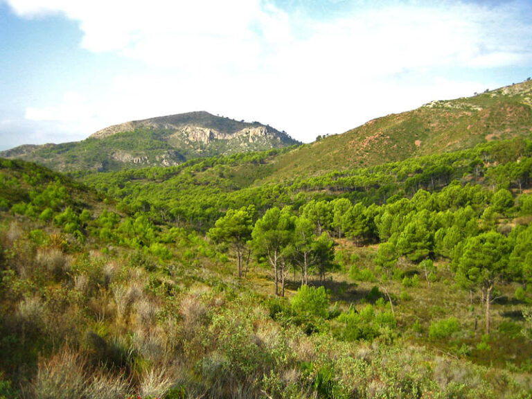
The natural park rises behind the town. The word desert refers to its past as a retreat for Discalced Carmelite monks, not to a dry landscape. The two highest summits are Mola del Morico at 694 m and El Bartolo at 729 m, and the La Bartola information centre stands at km 8 of the CV-147 (regional tourist board). Remains of a Carmelite monastery lie inside the park. We have a separate page for the Desert de les Palmes, which covers the walking in detail. The remains of Montornés Castle, a 10th-century fortress, stand on a mountain in the same park, with views over the countryside and the sea.
Church, tower and liqueur
In the historic centre, the Santo Tomás de Villanueva parish church has a plain, elegant exterior. The 16th-century San Vicente tower stands on the seafront. Carmelitano, a local liqueur, can be tasted on a guided distillery tour.
The FIB festival
The Festival Internacional de Benicàssim has run without interruption since 1995. The first edition was held at the town velodrome, and since 1997 it has used its current site at km 986.3 of the N-340. The festival’s own listing gives 15 to 17 July 2027 for the next edition. Expect crowded trains, buses and beds around that weekend.
Beaches and places nearby
The tourist office lists five beaches: Voramar, L’Almadrava, Torre de Sant Vicent, Els Terrers and Heliòpolis (turismo.benicassim.es). L’Almadrava takes its name from the almadraba, a traditional fishing trap once set up there. Els Terrers has a wooden boardwalk and a lookout. Voramar can be reached by car on the N-340, where there is a car park, or by bus from the town, according to the regional tourist board.
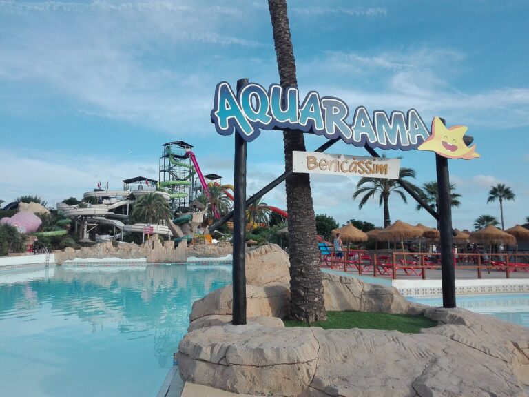
Beyond the shore, the nearest towns are Oropesa del Mar to the north, reached on foot or by bike along the Vía Verde, and Castelló de la Plana to the south. Castelló has 183,711 residents (INE, 1 January 2025) and is the transport hub for the area. For families, Trenet Park has a miniature train network for children, and Aquarama is a water park at the southern exit of town on the N-340 (tourist office).
Other town guides nearby: Onda (about 30 km in a straight line), La Vall d’Uixó (about 36 km in a straight line).
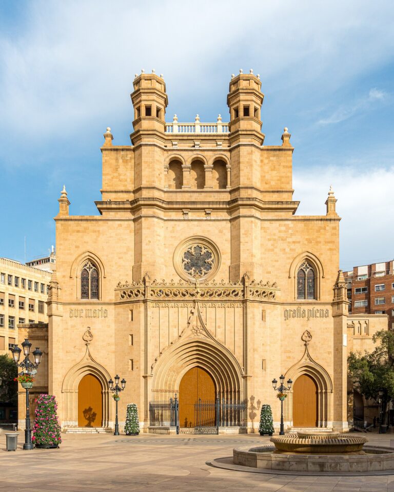
On CostaMap near Benicàssim: Aquarama Water Park (1.4 km) · Desert de les Palmes Natural Park (3.7 km) · Castelló Co-Cathedral (12 km).
Food and drink
The seafront is lined with restaurants, according to the regional tourist board, but it names no dishes specific to Benicàssim itself. The one local product they name is Carmelitano liqueur. For regional food, the Costa Azahar itinerary points to Castelló de la Plana: its Central Market, and the coca de Castelló, which is made with potatoes. In El Grao, Castelló’s seaside district, the same itinerary recommends a seafood rice dish. Day-trip to Castelló for lunch if you want those.
We have no source for a Benicàssim market day, so check the town hall or tourist office for the current weekday.
Where to stay
The regional tourist board mentions hotels and restaurants beside the beaches, so most visitors stay near the seafront. Prices change with the season and rise sharply around the FIB weekend, so book early if your dates overlap. A stay by Voramar puts the Villa Route outside your door; a stay by Els Terrers puts you next to the longest beach. We give no prices because the tourist board pages do not list any.
Getting there and around
Valencia (Manises) airport is the main gateway, 80 km or about 50 minutes away according to the tourist office; Reus is 180 km and Barcelona 260 km. Castellón Airport is on the CV-13 at Benlloch and has 500 free parking spaces. Castellón bus station sits next to the train station in Castelló.
By rail, Benicàssim has its own station, and the regional tourist board lists it among suggested train trips from Castelló. By bus, Autos Mediterráneo links Castellón, Benicàssim and Orpesa, and carries on to Torreblanca, Alcalà de Xivert, Peníscola, Benicarló and Vinaròs. Hife coaches run from Benicàssim to Valencia, Tarragona, Zaragoza and Bilbao, among other destinations.
Driving, the N-340 runs along the coast. The tourist office lists free car parks in town, the largest being the former station site with 797 spaces. Once you are here, the flat seafront and the Vía Verde make walking and cycling the easiest ways to get about.
Best time to visit
For climate we use AEMET standard values for the Castelló-Almassora station (1981 to 2010), the nearest station with a long record. The year averages 17.5 °C and 467 mm of rain, with 2,755 hours of sunshine. July averages 25.3 °C, with an average high of 30.0 °C and only 9 mm of rain. January averages 10.6 °C, with a high of 15.3 °C. September and October are the wettest months in the table, at 71 mm and 70 mm.
That makes late spring and early autumn good for the Vía Verde and the park, and July and August the beach months. The FIB brings the largest crowds in July.
FAQ
Is Benicàssim a beach town or a city?
It is a beach town of about 20,500 residents, with five named beaches along the seafront. The nearby city is Castelló de la Plana.
How far is Benicàssim from the airport?
Valencia airport is 80 km away, about 50 minutes, according to the tourist office. Castellón Airport is on the CV-13 at Benlloch; the tourist office gives no distance to it.
Can I get there by train?
Yes. Benicàssim has a railway station on Avinguda de la Mediterrània, and the regional tourist board recommends it as a train trip from Castelló.
How long is the Vía Verde?
The route to Oropesa del Mar is 5.5 km one way, or 11 km there and back.
What are the villas?
The tourist office catalogues 51 villas built between the 19th and 20th centuries, 19 of them signposted. Most have an information panel outside.
Sources and freshness
Last checked: October 2026.
- INE, population by municipality (1 January 2025)
- Benicàssim tourist office, how to get here
- Benicàssim tourist office, Villa Route
- Benicàssim tourist office, beaches
- Benicàssim tourist office, FIB
- Comunitat Valenciana tourist board, Benicàssim
- Comunitat Valenciana tourist board, Costa Azahar itinerary
- AEMET, climate values
Main photo: Audysmel, CC BY-SA 4.0, via Wikimedia Commons.
Nearby on the Costa del Azahar
Benicàssim on the map
Places worth knowing near Benicàssim
How this page is maintained. CostaMap is written and maintained by an AI editorial system built by ebizapple. Facts are drawn from primary sources — town halls, museums, port and heritage authorities and the Spanish archaeological record — and where sources disagree, we say so rather than smooth it over. Photographs marked as ours are taken on location. This page was last reviewed on 26 October 2026. Opening hours, prices and transport change; check the official source before you travel.