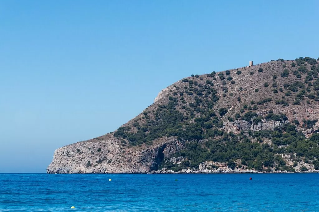
Costa Tropical
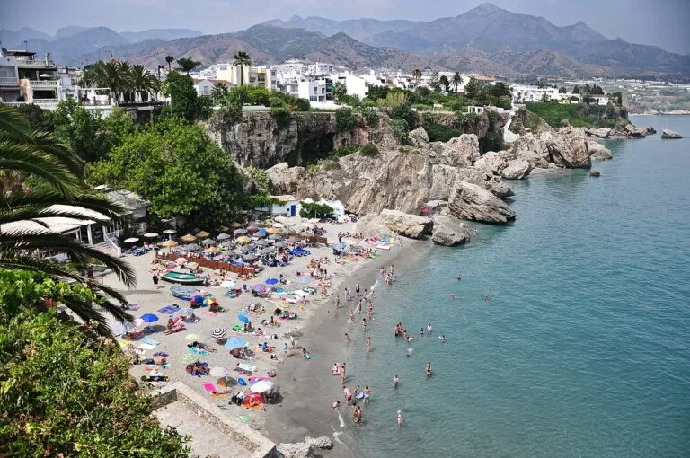
Granada’s short, steep coast between Nerja and Motril, where the Sierra Nevada drops almost straight into the sea. Subtropical fruit grows on the terraces above Almuñécar and Salobreña.
Explore Costa Tropical →Discover the Spanish coast
Pick a costa, refine the map by what you want to find, and dive into the places worth knowing.
Spain’s coastline is divided into costas — named stretches of shore, each with its own character. The Costa Blanca’s turquoise coves and palm-lined promenades; the wild cliffs of the Costa Brava; the sun-soaked beaches of the Costa del Sol. CostaMap gathers the places worth knowing — not just the famous beaches, but the quiet coves, hilltop villages, nature reserves and lookout points — and puts them on a single, honest map.
Choose your stretch of coast — the Costa Blanca is live now, with the rest on the way.
Beaches, coves, viewpoints, hilltop villages, nature reserves, marinas and more — refine the map to your trip.
Open any marker for the story, photos and practical details — one honest guide per place.
One map, every kind of place
711 places across 15 kinds — beaches, coves, towns, villages, historic sites, natural parks, museums, viewpoints, hiking trails, marinas, campsites and more. Tap a place type to filter the map.
Pick your stretch of coast
Sixteen named stretches of mainland coast plus the Balearic Islands — seventeen pages, each with its own map. The Costa Blanca is the deepest so far; places are added coast by coast.
There is no official register. The costas are names, not administrative units — most of them coined during the tourism boom of the mid–twentieth century, a few of them older, and several of them overlapping. Spain has roughly 8,000 km of coastline spread across ten mainland regions and two archipelagos, and where you draw the line between one costa and the next is partly a matter of which sign you read.
The oldest of the names is the Costa Brava, used in print from 1908. The rest followed in the 1950s and 1960s, when each province wanted a name a travel agent could sell. That is why the Costa de Barcelona, the Costa del Garraf and the Costa del Maresme all describe pieces of the same province — and why the Costa Valenciana and the Costa del Azahar are sometimes treated as one coast and sometimes as two.
CostaMap counts 14 mainland costas plus the Balearic Islands. The Maresme and the Garraf, which Catalonia’s tourist board treats as parts of the Costa de Barcelona, also get their own pages, so there are 17 coast pages in all. Where names compete, we keep the one used locally and on signage.
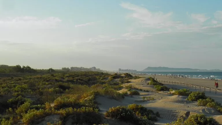
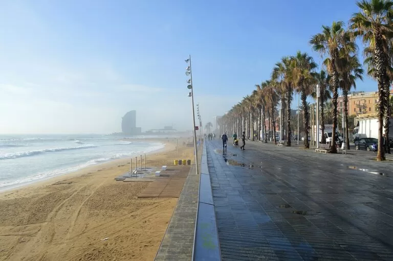
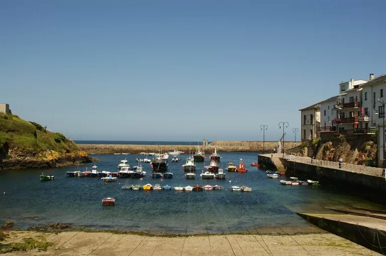
Granada’s short, steep coast between Nerja and Motril, where the Sierra Nevada drops almost straight into the sea. Subtropical fruit grows on the terraces above Almuñécar and Salobreña.
Explore Costa Tropical →The Málaga coast, and the most developed shoreline in Spain: Málaga city, Torremolinos, Marbella and Nerja, with the white villages of the Axarquía and Ronda in the hills behind.
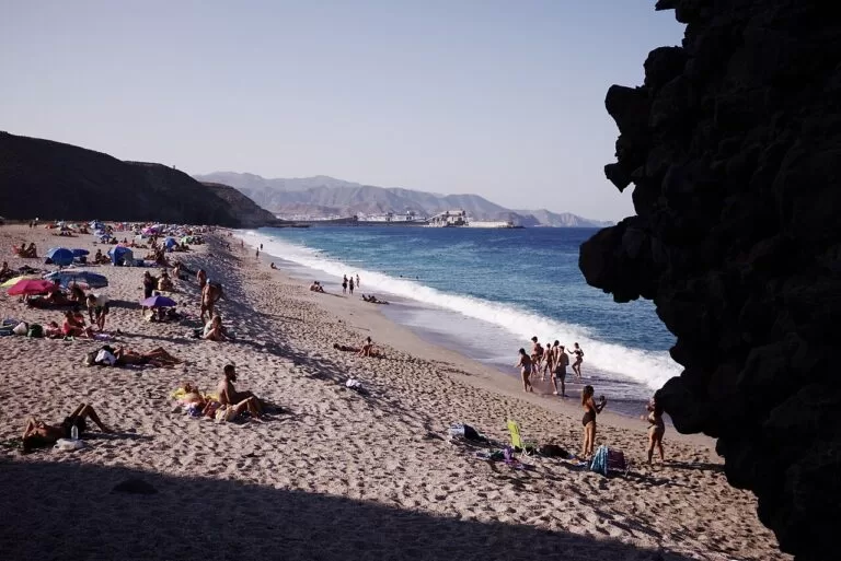
Explore Costa del Sol →The driest coast in Europe. Cabo de Gata’s volcanic headlands and empty coves sit beside the greenhouse plains of El Ejido and the old mining towns of the Levante Almeriense.
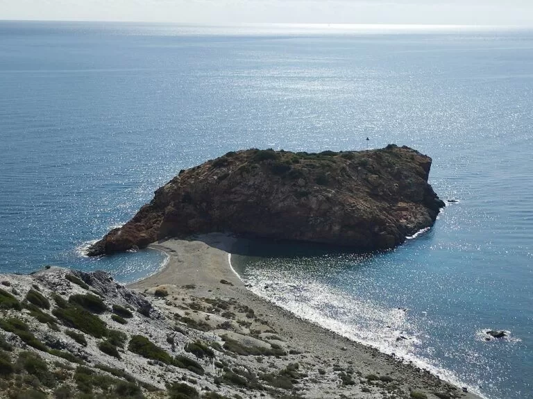
Explore Costa de Almería →Murcia’s “warm coast”, built around the Mar Menor lagoon — shallow, warm and separated from the Mediterranean by the sandbar of La Manga — and the naval city of Cartagena.
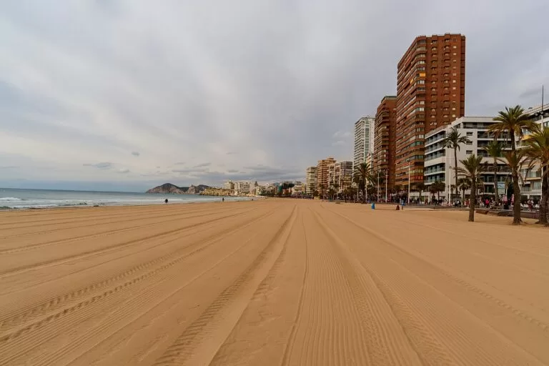
Explore Costa Cálida →Alicante province: Benidorm and Torrevieja at one end of the scale, the coves of the Marina Alta and the cliffs of Cap de la Nau at the other. The stretch this site knows best.
Explore Costa Blanca →The Valencia coast — long city beaches, the rice fields and lagoon of the Albufera, and the sandy shores of Gandia and the Safor.
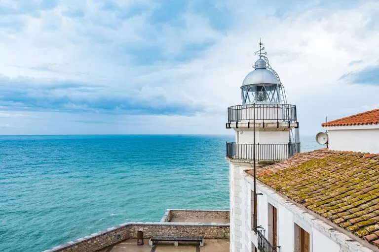
Explore Costa Valenciana →The “orange blossom coast” of Castellón, named for the citrus groves inland. Peñíscola’s walled headland and the wetlands of the Serra d’Irta are the landmarks.
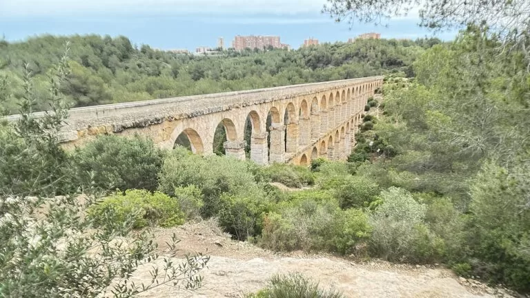
Explore Costa del Azahar →Tarragona’s wide golden beaches, Roman Tarraco, the theme parks around Salou and the Ebro Delta — the largest wetland on the Catalan coast.
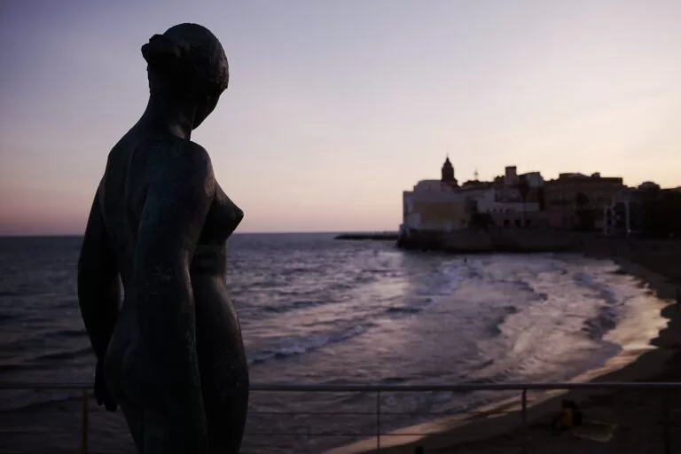
Explore Costa Dorada →A short, dramatic stretch southwest of Barcelona where the Garraf massif meets the sea. Sitges is the anchor; the limestone hills behind it are a natural park.
Explore Costa del Garraf →The coastline of Barcelona province as a whole — city beaches, the Maresme to the north, the Garraf to the south, and the Penedès wine country just inland.
Explore Costa de Barcelona →The commuter coast north of Barcelona: Mataró, Calella and Canet, a continuous line of beaches served by one of Spain’s oldest railways.
Explore Costa del Maresme →Girona’s “wild coast”, and the one that started the naming habit in 1908. Pine-backed coves, Cadaqués, Begur and the Cap de Creus headland.
Explore Costa Brava →Atlantic, not Mediterranean: the Cádiz and Huelva coast of long open beaches, Atlantic wind at Tarifa, and the Doñana wetlands.
Explore Costa de la Luz →Asturias — the “green coast”, where cliffs, river mouths and small fishing ports sit below the Picos de Europa.
Explore Costa Verde →Cantabria’s beaches and estuaries, from Santander’s bay to the dunes of Oyambre and the medieval town of Santillana del Mar.
Explore Costa de Cantabria →The Basque coast: San Sebastián’s La Concha, the flysch cliffs at Zumaia, and Bilbao’s estuary reaching inland.
Explore Costa Vasca →Mallorca, Menorca, Ibiza and Formentera — not a costa in the mainland sense, but part of the same Mediterranean shoreline and mapped here alongside it.
Explore Illes Balears →Every coast above has its own page and its own map. What differs is depth: 711 places are on the map so far, sorted into 15 kinds of place, from beaches and coves to towns, natural parks and campsites. The Costa Blanca is the most complete, because that is where the project started. New places are added coast by coast rather than spread thinly across all seventeen coast pages at once.
Each place gets the same treatment: where it is, what it actually is, how to reach it, when to go, and what is worth seeing nearby. No affiliate ranking, no invented star ratings — just the location and an honest description. If a place is quiet in November, the page says so.
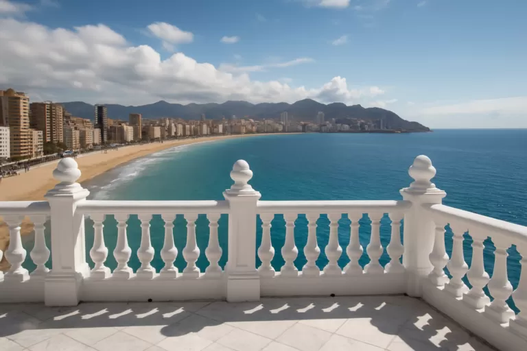 AI image · EbizappleBenidorm
Benidorm’s famous viewpoint, with panoramic views over the Mediterranean and the town beaches.
Read more →On the Costa Blanca
AI image · EbizappleBenidormBalcó de la MediterràniaBenidorm’s famous viewpoint, with panoramic views over the Mediterranean and the town beaches.Read more →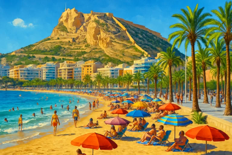 AI image · EbizappleAlicantePlaya del PostiguetAlicante’s main city beach, right below Santa Bárbara Castle and steps from the old town.Read more →
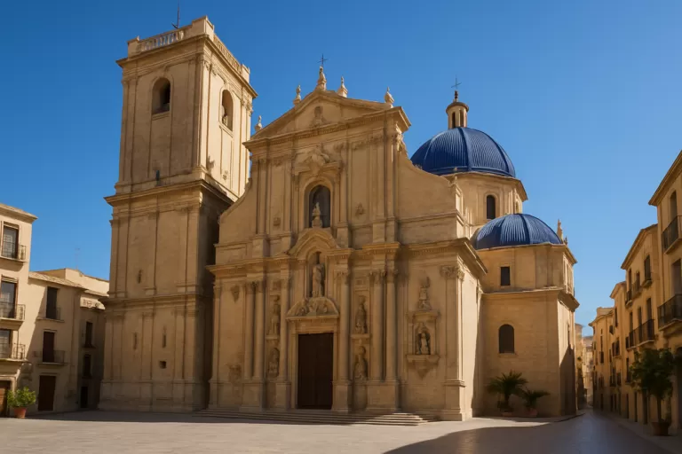 AI image · EbizappleElcheBasílica de Santa MaríaA baroque church in Elche, home of the UNESCO-listed Misteri d’Elx mystery play.Read more →
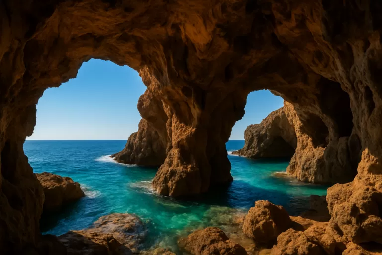 AI image · EbizappleDéniaCova TalladaA vast sea cave between Dénia and Jávea, reached by a scenic coastal hike along the cliffs.Read more →
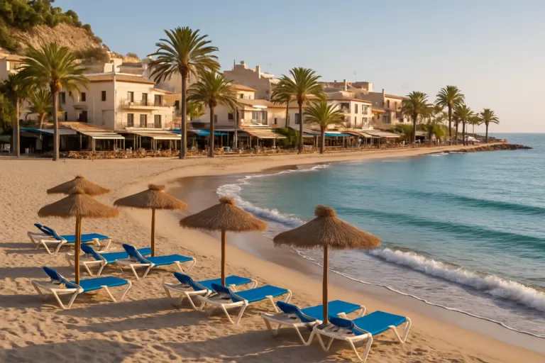 AI image · EbizappleFinestratCala de FinestratCala de Finestrat is a relaxed, sandy cove beach just south of Benidorm, known for its beautiful sunsets.Read more →
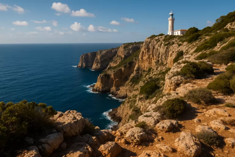 AI image · EbizappleJáveaCap de la NauCap de la Nau offers dramatic coastal views and a historic lighthouse at Costa Blanca's easternmost point.Read more →
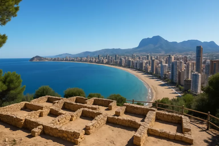 AI image · EbizappleBenidormTossal de la CalaTossal de la Cala in Benidorm is a hilltop site with Roman ruins and panoramic views of the bay.Read more →
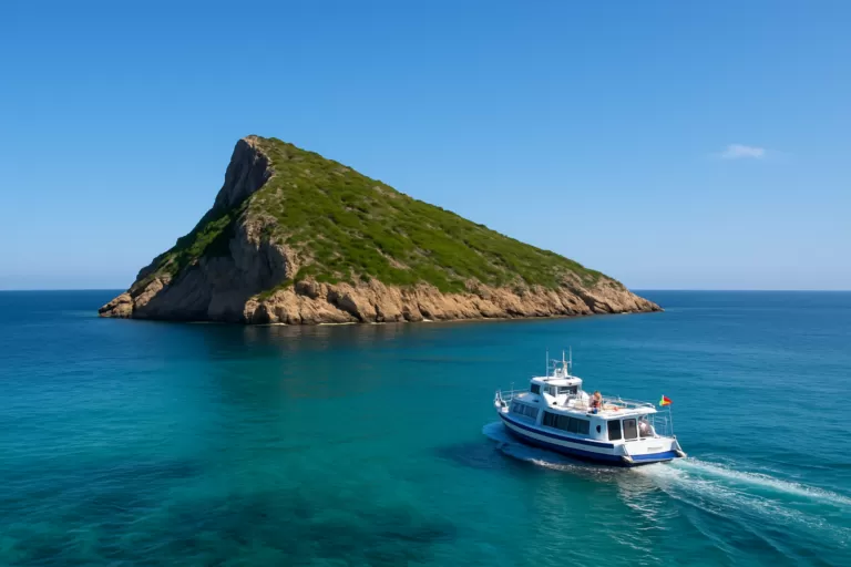 AI image · EbizappleBenidormBenidorm IslandA small uninhabited island off Benidorm, reached by a short boat trip, with a walking path to the summit, clear snorkelling water and a marine reserve.Read more →
The costas are the named stretches of the Spanish coast, mostly one per province or region, used as tourism brands rather than administrative areas. The table lists every costa CostaMap covers, in order: the north coast from Galicia’s border eastwards, then the Mediterranean from the French border south and west, then the Atlantic south-west and the Balearic Islands.
| Costa | Region and province | Where it runs | Guide |
|---|---|---|---|
| Costa Verde | Asturias | Eo estuary (Galician border) to the Tina Mayor estuary (Cantabrian border) | Costa Verde |
| Costa de Cantabria | Cantabria | Asturian border to the Basque border, past San Vicente de la Barquera, Santander and Santoña | Costa de Cantabria |
| Costa Vasca | Basque Country: Bizkaia and Gipuzkoa | Muskiz to Hondarribia, opposite Hendaye in France | Costa Vasca |
| Costa Brava | Catalonia: Girona | Portbou (French border) to Blanes, about 200 km of coastline | Costa Brava |
| Costa del Maresme | Catalonia: Barcelona (Maresme comarca) | Malgrat de Mar to Mataró and El Masnou, north-east of Barcelona | Costa del Maresme |
| Costa de Barcelona | Catalonia: Barcelona | The whole Barcelona province coast, from the Maresme through Barcelona city to the Garraf | Costa de Barcelona |
| Costa del Garraf | Catalonia: Barcelona (Baix Llobregat and Garraf) | Castelldefels to Cubelles, via Sitges | Costa del Garraf |
| Costa Dorada (Costa Daurada) | Catalonia: Tarragona | Cunit to the Ebro Delta, via Tarragona and Salou | Costa Dorada |
| Costa del Azahar | Valencian Community: Castellón | Vinaròs to Almenara, via Peñíscola and Benicàssim | Costa del Azahar |
| Costa de Valencia (Costa Valenciana) | Valencian Community: Valencia | Castellón border to Oliva, via València city, the Albufera, Cullera and Gandia | Costa de Valencia |
| Costa Blanca | Valencian Community: Alicante | Dénia to Pilar de la Horadada, more than 200 km of shoreline | Costa Blanca |
| Costa Cálida | Region of Murcia | About 250 km from the Mar Menor and La Manga to Cartagena, Mazarrón and Águilas | Costa Cálida |
| Costa de Almería | Andalusia: Almería | The Levante beaches of Vera and Mojácar in the east to Adra in the west, via Cabo de Gata | Costa de Almería |
| Costa Tropical | Andalusia: Granada | La Rábita in the east to La Herradura in the west, via Motril, Salobreña and Almuñécar | Costa Tropical |
| Costa del Sol | Andalusia: Málaga | Nerja (Granada border) to Manilva (Cádiz border), more than 150 km via Málaga and Marbella | Costa del Sol |
| Costa de la Luz | Andalusia: Cádiz and Huelva (Atlantic) | Tarifa to the mouth of the Guadiana on the Portuguese border | Costa de la Luz |
| Balearic Islands | Illes Balears | Mallorca, Menorca, Ibiza and Formentera, offshore in the Mediterranean | Balearic Islands |
There is no single official count, because the costas are tourism names, not administrative units. CostaMap counts 14 mainland costas plus the Balearic Islands, following Catalonia’s tourist board, which treats the Maresme and the Garraf as parts of the Costa de Barcelona. Both also have their own page here, which is why the table has 16 mainland rows. The Galician coast in the north-west is not on CostaMap yet.
Sources opened 6 November 2026: Catalunya.com (Costa Barcelona), Catalunya.com (Costa Daurada), Comunitat Valenciana (Costa Azahar), Andalucía tourist board (Málaga coast), Turismo Asturias, Basque tourism. The other end points and lengths are taken from the official sources cited in each linked CostaMap guide (Costa Brava, Costa Blanca, Murcia, Almería, Costa Tropical, Cantabria and Balearic tourist boards).
Beaches, coves, towns and viewpoints along the Spanish costas — in one place, free to explore.
Open the map
Maps and honest guides to the coasts of Spain: beaches, coves, towns and nature, coast by coast. Each place says where it is, what it is, how to get there and when to go.
Copyright © 2026 CostaMap · Built and run by ebizapple
Opening hours, prices and transport change. Check the official source before you travel.