
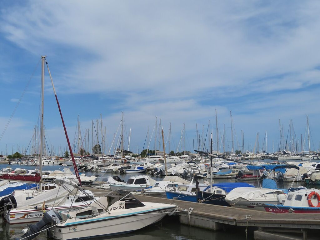
Sant Carles de la Ràpita is a small fishing town on the sheltered Alfacs Bay, at the southern end of the Costa Daurada and next to the Ebro Delta. It suits travellers who want calm bay beaches, a working fish port and easy access to delta birdwatching and cycling, rather than big resort nightlife. It is a quiet base for the Terres de l’Ebre. It is part of our Costa Dorada guide.
Quick facts
- Where: Sant Carles de la Ràpita (La Ràpita), province of Tarragona, in the Montsià comarca.
- Residents: 16,119 (1 January 2025, INE).
- Beaches: yes, in town. Nine beaches are listed by the tourist board, from 65 m Capri to the 6.5 km Trabucador beach about 10 km away.
- Distances: about 10 km to Amposta, about 22 km to Tortosa and about 16 km to Deltebre, all in a straight line (our own calculation from map points, not road distances).
- Nearest station: none in town. The tourist board names L’Aldea (15 km) and Tortosa (28 km).
- Nearest airport: Reus, about 75 km in a straight line (our own calculation); the tourist board also lists Barcelona, Castelló and València.
- Language: Catalan and Spanish; Spanish works everywhere.
- Character: fishing port and quiet bay town. The town’s tourism site calls Els Alfacs “the largest natural port in Europe”.
Where to base yourself
La Ràpita is compact, so the real choice is between the old planned town centre, the seafront and the port. All three are close enough to walk between.
The seafront and bay beaches
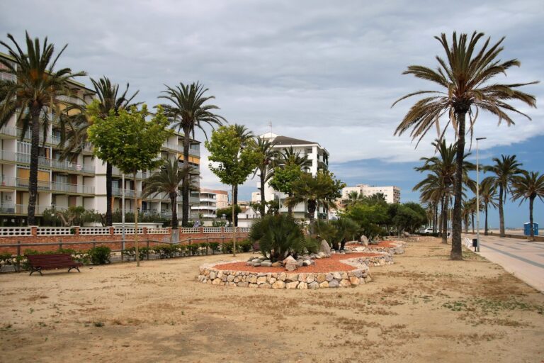
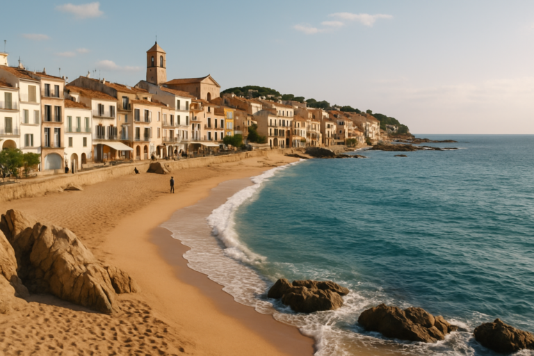
The seafront promenade starts at Garbí Park near the marina and runs along the beaches, according to the tourist board, and it is reserved for pedestrians and cyclists. Garbí, Capri and Les Delícies are urban beaches with fine sand and calm water on the bay, with hotels and restaurants close by. This is the natural base for families who want to walk from the room to the sand.
The old town around Plaça de Carles III
The town was founded in 1780 on a neoclassical plan, and its straight streets radiate from Plaça de Carles III. Staying here puts you near the municipal market, the squares and the churches, a short walk from both the port and the water. It suits visitors who want to eat and shop like a resident, and who care less about being on the sand every morning.
The port
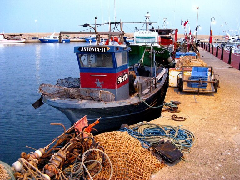
The fishing port and the fish market are the working heart of the town. Staying near the port means watching the boats and the auction building at close range, with some noise during landings. It is the best choice for food-minded visitors.
If you want big resorts, theme parks and nightlife, look further north on the coast. If you want delta villages and flat cycling, you can also base yourself in Deltebre or Amposta.
Things to do
La Ràpita is a town for slow days around water, birds and food rather than for a list of monuments. The sights are small, and the surroundings are the main attraction.
The planned town of Carles III
According to the tourist board, the royal town was founded on 6 November 1780, with Charles III planning it beside the port of Els Alfacs. Plaça de Carles III was meant as the central hub at the crossing of the main streets, with neoclassical arcades and a fountain on its southern side. Casa Laureano is a small palace in one corner of the square, with a portico of large columns. The original monumental project was never finished: the tourist board says only a few half-finished sectors were built, because of the king’s death and economic and administrative disorder.
The Església Nova (New Church) stands at the southern end of the town. The tourist board says no document shows it was built as a church, and that nobody knows who designed it. Its structure resembles contemporary administrative buildings, which is a good reason to look at it closely.
The fish port and auction
The tourist board describes a fishing port where visitors can watch the fleet return with its catch. The auction is now mechanised, and visitors watch from a first-floor corridor that runs around the fish conveyor belt and overlooks the buyers’ stands. Landing times vary with the season, so check with the tourist office before planning around them. The refurbished municipal market sells fish and seafood, meat, fruit and vegetables, salt cod and bakery goods, and has a cafeteria and a restaurant.
La Guardiola viewpoint
La Guardiola tower crowns the 113 m hill known as La Torreta or Guardiola Hill, on the easternmost foothills of the Montsià mountains. The tourist board says the hill has views of the Ebro Delta, Els Alfacs Bay and the town. The site is first documented as a defensive position in 1483 and recorded as the Guardiola Artillery in 1575. The tourist board gives no visiting hours, so confirm access before you climb.
Els Alfacs Bay and boat trips
The bay is sheltered by La Banya peninsula and belongs to the Ebro Delta Natural Park. Boat trips leave from the tourist boat dock, and the tourist board lists a fishing boat trip, yachting, photographing birds in the lagoons and tasting seafood caught in the bay. Prices and sailing days are not given, so ask the tourist office.
The Ebro Delta and the Montsià
The tourist board estimates that 50,000 to 100,000 birds of 300 species live in the Ebro Delta, including flamingos, and offers boat rides, cycle routes and birdwatching hides. Behind the town, the Serra del Montsià runs parallel to the coast; its highest point, La Torreta del Montsià, is 764 m.
In the delta stands the Sant Joan Tower, ordered by Philip II in 1576 to guard the port against pirates. Only the base remains, in Poble Nou del Delta, which is part of the Amposta municipality. Treat it as a detour for the history-minded rather than a main stop.
Beaches and places nearby
The town beaches are small pockets of fine sand along the seafront promenade, on calm bay water. The tourist board lists these figures.
- Garbí is an urban beach 300 m long and 50 m wide, with fine golden sand, shallow calm water, a lifeguard, toilets, showers and parking. It starts a little beyond the port.
- Les Delícies is 200 m long and 37 m wide, with fine golden sand, lifeguards, showers and restaurants within 50 m.
- Capri is 65 m long and 36 m wide, with fine golden sand and calm water, hotels and restaurants nearby.
- Far is 97 m long with fine sand, a restaurant and parking, reached on foot.
- Trabucador is 6.5 km long with fine sand, about 10 km from La Ràpita. The tourist board says that access by car requires prior booking of parking, so arrange it before you set out.
The Trabucador is also the name of the sand bar that the tourist board describes as a six-kilometre isthmus connecting the Ebro Delta to La Banya Point, with shallow water, wide beaches and many birds. It is best at dusk, the tourist board says. Skip it if you want facilities: the page lists none for the Trabucador beach.
Within easy reach:
- Amposta, about 10 km away in a straight line, the main town of the lower Ebro.
- Deltebre, about 16 km away, for the delta’s rice fields and cycling.
- Tortosa, about 22 km away, the nearest city and the railway link.
Other town guides nearby: Benicarló (about 27 km in a straight line), Peñíscola (about 33 km in a straight line).
Food and drink
This is a fishing town, so seafood is the reason to eat out here. The tourist board says the bay is a place to taste seafood caught in the bay, and the catalogue of restaurants on its gastronomy page ranges from bar-restaurants to braseries and pizzerias. Ask what came in that day and eat what the kitchen recommends. The surrounding delta is rice country, so rice dishes are a natural order, and the municipal market is the place to see the local fish and produce before you cook for yourself.
The tourist board mentions gastronomic days (Jornades Gastronòmiques) without dates or a year, so check the agenda on the town’s tourism site if you want to time a visit. We do not name individual restaurants, because we could not check their current quality. A simple rule works well: choose places away from the main seafront where locals eat, and look for fish and rice made to order.
Where to stay
Expect hotels and apartments around the seafront and the marina, with hotels mentioned next to Garbí and Capri beaches by the tourist board. We did not read a lodging listing with current prices, so we do not quote any. In general, prices rise in July and August and fall in winter, so book early for a summer week. If you plan to use the bus and the delta bike routes, choose somewhere within walking distance of the centre.
The seafront is calmer and better for families with small children. The old town is cheaper to eat in and quieter in the evening. Staying near the port is the most atmospheric for food-minded visitors.
Getting there and around
By car, the tourist board directs you to the AP-7 (E-15) motorway, exit 41 (Amposta) or exit 42 (Ulldecona-Vinaròs). The C-12 crosses the area from south to north and links to Lleida province, and the N-240 is also listed. A car makes the Trabucador, La Guardiola and the delta villages much easier.
By bus, the tourist board names Grup HIFE for services to the town; check the operator’s site for routes and timetables. There is no railway station in La Ràpita. The tourist board names L’Aldea (15 km) and Tortosa (28 km) as the nearest stations; Rodalies de Catalunya lists Tortosa as a main station on the 172 km R16 line from Barcelona. Taxis and car hire are listed by the tourist board, so you can finish the last stretch from the station that way.
By air, the tourist board names Reus, Barcelona, Castelló and València as nearby airports but gives no distances. Reus is the closest on the map, about 75 km in a straight line. Check onward buses and rail before you book, because there is no direct rail link into town.
In town, you can walk almost everywhere, and the seafront promenade is reserved for pedestrians and cyclists.
Best time to visit
Summer is the classic beach season on the calm bay. Spring and autumn are comfortable for walking and cycling in the delta, and the town is quieter then. In winter many beach services reduce hours, but the port and the town keep working. For forecasts and monthly climate figures, check AEMET before you book. We do not quote festival dates because the sources we read give none with a year.
FAQ
Is La Ràpita worth visiting?
Yes, if you want a working port, calm bay beaches and the Ebro Delta on your doorstep. It is less suited to travellers who want big nightlife or a long list of monuments.
Does La Ràpita have a train station?
No. The tourist board lists L’Aldea (15 km) and Tortosa (28 km) as the nearest stations, and a bus or taxi covers the rest.
How do I get to the Trabucador beach?
The tourist board says the beach is about 10 km from La Ràpita and that access by car requires prior booking of parking. Check the booking page before you go.
Which beach is best for families?
Garbí and Les Delícies, according to the tourist board, have fine golden sand, shallow or calm water, lifeguards, showers and toilets, and restaurants within 50 m. Both sit on the seafront promenade.
How far is La Ràpita from the Ebro Delta?
The town sits on Els Alfacs Bay, which belongs to the Ebro Delta Natural Park, and Deltebre is about 16 km away in a straight line, our own calculation from map points. The Trabucador sand bar connects the delta to La Banya Point.
Sources and freshness
Last checked: October 2026. Sources: INE, population of Tarragona municipalities; La Ràpita tourism, Els Alfacs Bay; La Ràpita tourism, places of interest; Plaça de Carles III; Església Nova; Fishing port and market; Municipal market; La Guardiola viewpoint; Sant Joan Tower; Trabucador sand bar; Ebro Delta Natural Park; Serra del Montsià; Seafront promenade; Garbí beach; Les Delícies beach; Capri beach; Far beach; Trabucador beach; La Ràpita tourism, gastronomy; La Ràpita tourism, FAQ (transport); Rodalies de Catalunya, line R16; OpenStreetMap Nominatim, coordinates and distances; AEMET.
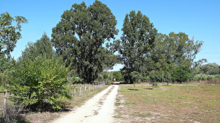
Main photo: Juan Emilio Prades Bel, CC BY-SA 4.0, via Wikimedia Commons.
Nearby on the Costa Dorada
Sant Carles De La Rapita on the map
Places worth knowing near Sant Carles De La Rapita
How this page is maintained. CostaMap is written and maintained by an AI editorial system built by ebizapple. Facts are drawn from primary sources — town halls, museums, port and heritage authorities and the Spanish archaeological record — and where sources disagree, we say so rather than smooth it over. Photographs marked as ours are taken on location. This page was last reviewed on 29 October 2026. Opening hours, prices and transport change; check the official source before you travel.