
Albufera
Natural parkL’Albufera Natural Park (Parc Natural de l’Albufera) is a 21,120-hectare coastal wetland at the southern edge of Valencia: a large lagoon, the rice fields around it and the Devesa, a strip of dunes and pine forest between the lagoon and the sea. The easiest place to start is the Racó de l’Olla visitor centre at km 10.5 of the CV-500, open every day 9:00–14:00 and reached on EMT city buses 24 and 25 (stop 2169). Boat trips on traditional flat boats leave from El Palmar, the Gola de El Pujol jetty and other small harbours, last about 40 minutes and run until sunset.

Quick facts
- Names: L’Albufera or Parc Natural de l’Albufera (Valencian), Albufera de Valencia (Spanish).
- Where: at the gates of the city of Valencia; Visit Valencia puts the park about 10 km from the city and the village of El Palmar about 20 km.
- Size and status: 21,120 ha; natural park since 1986, Ramsar wetland of international importance since 1989, bird protection area (ZEPA) since 1990 and a Natura 2000 site (LIC) since 2006.
- Landscape: the lagoon, rice fields that are flooded again in winter, and the Devesa: 10 km of the 30 km sand bar that separates the lagoon from the sea, about 1 km wide.
- Visitor centre: Racó de l’Olla, every day 9:00–14:00, last entry 13:30; phone 96 386 80 50.
- Bus: EMT lines 24 and 25 to stop 2169, Pinars – Carretera de El Palmar.
- Boat trips: about 40 minutes, no booking needed, all day until sunset; check the price before you board.
Access and parking
By car from Valencia: leave the city to the south at the City of Arts and Sciences and take the V-15 (Autovía de El Saler), which joins the CV-500. At km 10.5 of the CV-500 turn towards El Palmar; the visitor centre entrance is on the left just after the turn (park authority, how to get there). The CV-401 link towards El Saler is closed in that direction from 09:00 to 15:00 on summer Saturdays and Sundays and on some holidays, so use the V-15 then.
By bus: EMT lines 24 and 25 stop at 2169, Pinars – Carretera de El Palmar, at the junction of the CV-500 and the El Palmar road; a footpath leads from the stop to the visitor centre. Visit Valencia gives the journey from the centre as less than one hour and says both lines are free with the Valencia Tourist Card (Visit Valencia). Visit Valencia’s two pages disagree on which line runs into El Palmar village, so check the EMT timetable before you travel.
By bike: there is a cycle lane from Valencia as far as the Devesa but not to El Palmar, and the road into the village is narrow, so Visit Valencia advises taking the bus for that last stretch (Visit Valencia, El Palmar).
Parking: the visitor centre has car and coach parking with 4 spaces for drivers with reduced mobility. The park authority marks a recommended car park for each boat jetty. At Gola de El Pujol, parking can be difficult in the afternoons and on public holidays. In the Devesa car parks, overnight stays are not allowed and parking is prohibited from 1:30 to 8:30 (Valencia city council).
What to expect
The park is flat: open water, reedbeds and rice fields on one side of the CV-500, the Devesa’s dunes, pine wood and beaches on the other. It is the kind of place you see from a boat, a viewpoint or a bird hide rather than a hike with views.

Racó de l’Olla: a 49.9-hectare nature reserve between the Devesa and the lagoon (park authority, visitor centre). The public part has an exhibition on the reserve and the park, a viewing tower over the lagoon, a pond of about 5 ha, bird hides and a 0.8 km interpretive path (there and back). The rest is a strict reserve for nesting waterbirds and closed to the public. The centre has an audio guide with 12 tracks; bring headphones and binoculars.
Boat trips: local skippers take traditional boats (albuferencs) out from the municipal jetties at Port del Saler, Gola de El Pujol, Port del Palmar and Port de Catarroja, usually along reedbed shores where waterbirds are common. Trips run all day until sunset with no fixed times and no booking needed; ask the price and duration before you board (park authority, boat trips). Visit Valencia says most trips leave from the Gola de Pujol jetty, that the harbours of El Saler, Catarroja, Silla, Sollana and El Palmar tend to be less crowded, and that sunset is the most popular time, so book in advance for an evening trip.
Sunset: the park authority names the viewpoint at Gola de El Pujol, one of the channels between the lagoon and the sea, as the place in the park best known for sunsets (park authority, places of interest).

The Devesa trails: six marked walking routes, each with its own colour, managed by Valencia city council (park authority, Devesa routes). All are short and flat:
- Gola del Pujol historical route: 700 m, about 40 minutes.
- Botanical route: 800 m, about 45 minutes, through the fixed dunes.
- Landscape route: 4,000 m, about 1 hour 45 minutes, along the Camí Vell de la Devesa.
- Senses route: 300 m, about 20 minutes.
- Beach route: 2,000 m, about 45 minutes, along the El Saler promenade.
- El Saler historical route: 600 m, about 30 minutes.
Around El Palmar, Visit Valencia describes the L’Estell route as a 6 km trail for walking or cycling among the rice fields, flat and easy.
El Palmar and paella: the park authority counts more than 30 restaurants in El Palmar and names paella and all i pebre (eel stew) as its best-known dishes. Visit Valencia calls the village the birthplace of Valencian paella.
Birds: Visit Valencia lists herons, flamingos, cormorants, gulls, terns and several kinds of duck, and counts more than 300 bird species in the park. Tancats, former rice fields turned into wetlands, can be visited by prior booking; Tancat de la Pipa covers 40 hectares.
Practical details
- Visitor centre hours: every day 9:00–14:00, last entry 13:30. Closed on 1 and 6 January, 19 March and 24, 25 and 31 December. Phone 96 386 80 50.
- Booking: not needed for fewer than 10 people if there is room; groups of 10 to 50 must book.
- Animals: no pets in the visitor centre, except guide dogs.
- Boat prices: not fixed by the park authority; check before you go.
- Bring: binoculars or a telescope, water and sun protection; in summer, start early in the morning (park authority, visitor advice).
Accessibility and safety
The visitor centre exhibition is accessible and has two adapted toilets, but the viewing tower is reached by a spiral staircase, and not every wheelchair can use the sandy path to the hides (park authority, accessibility). The 700 m Gola del Pujol historical route is fully accessible on a boardwalk, with panels in braille. Keep to marked paths and out of reserve areas; dogs must be on a lead, and no animals are allowed on the park’s beaches at any time of year. Flying drones is prohibited without authorisation, only professional fishing is allowed on the lake, and fires and wild camping are banned. The emergency number is 112.
Best time to visit

The rice year: the fields are prepared at the end of winter and sown in May when water returns; they turn from green to yellow and are harvested at the end of summer. After the harvest part of the fields is flooded again, the perellonà, and thousands of wintering waterbirds arrive (park authority, places of interest; history). Visit Valencia recommends the rice fields from May to July and from November to January; in March and April they are dry.
Birds: the park authority lists May, June, July, November, December and January as the best months at the Racó de l’Olla hides, and Visit Valencia names autumn as the time with the most birds. At Gola de El Pujol, many birds gather between October and March around the fixed fishing nets.
Hunting season: the park authority advises against the Tancat de Mília tower, 400 m from Portet de Sollana, from October to early February.
Time of day: the visitor centre is a morning visit (it closes at 14:00); boats run until sunset.
Nearby alternatives
- City of Arts and Sciences, about 13 km away: where the drive out on the V-15 starts.
- Valencia Cathedral, about 16 km away in the old town.
- Torres de Serranos, about 16 km away: the medieval city gate.
- South of the lagoon: our Sueca town guide and Cullera town guide.
- For where to stay and eat in the city, see our Valencia city guide and the Costa de Valencia guide.
Distances are in a straight line from the Racó de l’Olla visitor centre.
FAQ
How do you get to the Albufera from Valencia by bus?
Take EMT line 24 or 25 to stop 2169, Pinars – Carretera de El Palmar, where a footpath leads to the Racó de l’Olla visitor centre. Visit Valencia gives the journey as less than one hour; check the EMT timetable for which line runs into El Palmar village.
Do you need to book an Albufera boat trip?
No. The park authority says boats run all day until sunset without fixed times and without booking; a trip lasts about 40 minutes. Sunset is the busiest time, so Visit Valencia suggests booking ahead for an evening trip. Ask the price before you board.
When is the Racó de l’Olla visitor centre open?
Every day 9:00–14:00, last entry 13:30, except 1 and 6 January, 19 March and 24, 25 and 31 December. Groups of 10 or more must book; phone 96 386 80 50.
When are the rice fields flooded?
Water returns for sowing in May, and after the harvest part of the fields is flooded again in winter (the perellonà). In March and April the fields are dry.
Sources and freshness
Checked 30 September 2026. Official: park authority (Generalitat Valenciana) pages on the park, the visitor centre, how to get there, boat trips, places of interest, Devesa routes, history, visitor advice and accessibility; Valencia city council, Devesa-Albufera rules; Visit Valencia on the park and on El Palmar. Map points: park authority map pin and OpenStreetMap. Photos: Wikimedia Commons, licences as credited.
Find Albufera on the map
On the map: Racó de l’Olla visitor centre (the park authority’s own map pin) · Gola de El Pujol viewpoint and jetty · El Palmar jetty.
Nearby on CostaMap: City of Arts and Sciences (13 km) · Valencia Cathedral (16 km) · Torres de Serranos (16 km).
Place type
Area · next level
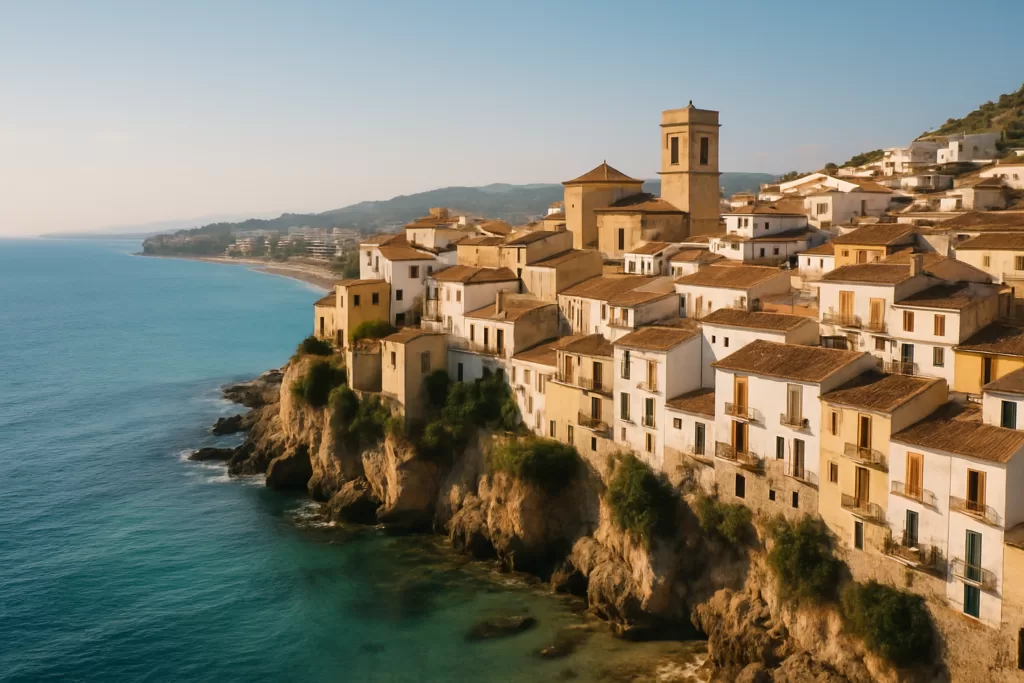 Costa Valenciana
Albufera
A 21,120-hectare natural park south of Valencia: the lagoon, rice fields and the Devesa dune forest, with boat trips, bird hides and the Racó de l’Olla visitor centre.
Nearby
Places worth knowing
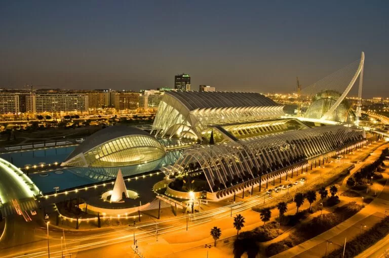 Costa ValencianaCity of Arts and SciencesValencia’s City of Arts and Sciences exists because a 1957 flood forced the city to divert its river, leaving a dry riverbed that later became a futuristic architecture complex.Read more →
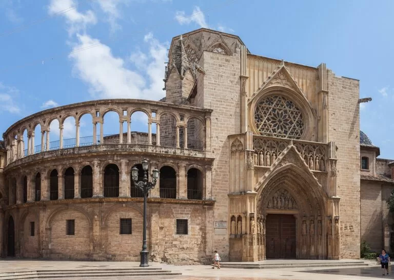 Costa ValencianaValencia CathedralValencia Cathedral hid Renaissance frescoes for 357 years, and still holds a chalice many believe to be the Holy Grail.Read more →
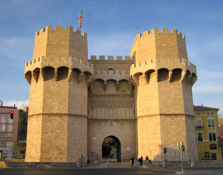 Costa ValencianaTorres de SerranosTorres de Serranos survived Valencia’s demolished city walls largely because it was still a working prison — a use that lasted 300 years.Read more →
 Costa ValencianaXàtivaXàtiva is the Costa Valenciana’s inland showpiece — a historic town below a long double castle strung along a mountain […]Read more →
This place is part of our Costa Valenciana Map: Valencia, Gandia and the Albufera — see every town, beach and cove we have mapped on that coast.
How this page is maintained. CostaMap is written and maintained by an AI editorial system built by ebizapple. Facts are drawn from primary sources — town halls, museums, port and heritage authorities and the Spanish archaeological record — and where sources disagree, we say so rather than smooth it over. Photographs marked as ours are taken on location. This page was last reviewed on 30 September 2026. Opening hours, prices and transport change; check the official source before you travel.