
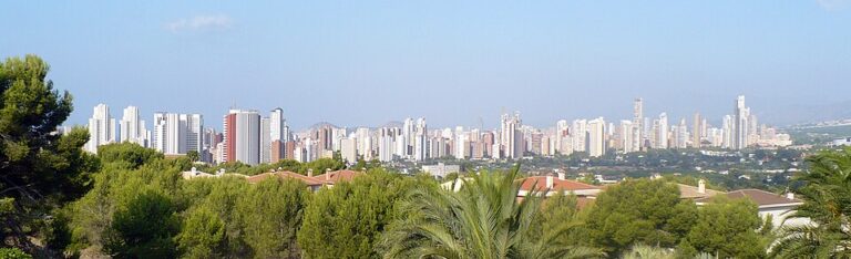
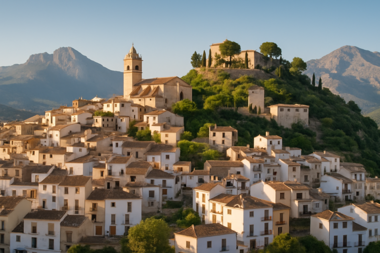
L’Alfàs del Pi is a municipality of about 21,000 people in the Marina Baixa, between Benidorm and Altea, and it suits visitors who want a base with a pebble beach, a coastal walk and a working town rather than a high-rise resort. The coast at l’Albir is where most holidaymakers stay; the town of l’Alfàs, with its 18th-century church on Plaza Mayor, is the quieter alternative a short way from the sea. Foreign residents make up more than half of the census, according to local press. It is part of our Costa Blanca guide, and Benidorm is the nearest large resort.
Quick facts
- Where: l’Alfàs del Pi, Alicante province, in the Marina Baixa county (Comunitat Valenciana tourism), between Benidorm and Altea.
- Residents: 21,080 (2025, INE municipal register), and local press reports that foreign residents exceed 50 % of the census (El Periódic, 2023).
- Beach: Racó de l’Albir, a pebble beach of about half a kilometre in the bay of Altea (Comunitat Valenciana tourism). The town of l’Alfàs itself is not on the sea.
- Natural park: Serra Gelada, declared in 2005, 5,564 ha, 88 % of it at sea (Generalitat Valenciana park authority).
- Nearest airport: Alicante–Elche, about 52 km in a straight line from the municipality’s centre point (our calculation from airport and OSM coordinates); the road distance is longer.
- Hub town: Benidorm, about 5 km in a straight line, for shops and nightlife.
- Language: Valencian and Spanish.
Where to base yourself
The choice is between the coast at l’Albir and the town of l’Alfàs, and it is worth being plain about what each is. The coast is geared to tourism and to residents from abroad: local press reports foreign residents above half of the census (El Periódic, 2023). If you want a Spanish village rhythm with few visitors, this is not that place, though the town centre comes closer than the seafront.
L’Albir (the coast)
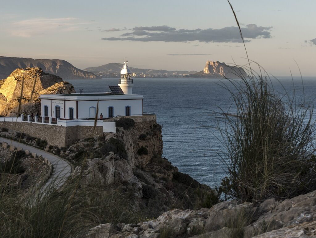
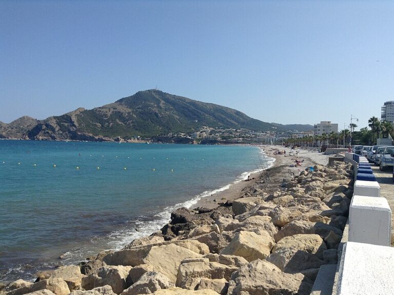
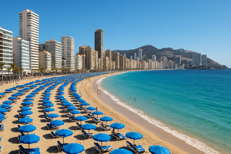
L’Albir is the strip around Racó de l’Albir beach, next to the Paseo de las Estrellas and the Roman villa, and the Serra Gelada lighthouse trail close by. The regional tourism board calls the beach urban and lists lifeguards, showers, play areas, sun-lounger hire, restaurants, a taxi stop and parking. This suits families, walkers and anyone who wants to leave the car parked. The beach is pebble, not sand, and it is only about half a kilometre long, so it fills up in summer. Bring water shoes if you want to swim comfortably.
L’Alfàs (the town)
The town grew around Plaza Mayor and the parish church of Sant Josep, an 18th-century building with small side chapels (Comunitat Valenciana tourism). The plaza is the starting point for the Escoles Velles cultural centre, the Delso Museum devoted to the painter and sculptor Pedro Delso Rupérez, and the Mànec mill, a converted mill that is now an information centre on irrigation. Stay here for lower-key evenings and a base that is not tied to the beach season. The trade-off is that you will want a bus, tram, taxi or car to reach the sea, and we found no official figure for the walking distance, so check a map before you book.
What about Poble Nou?
We found no official visitor description of a Poble Nou district in l’Alfàs, so this guide does not recommend it as a separate base. If a listing uses the name, confirm on a map whether it sits near the coast or the town.
Short version: l’Albir for a beach and walking week, the town for a quieter base, and Benidorm only if you want big-resort nightlife a few kilometres away.
Things to do
The lighthouse walk in Serra Gelada
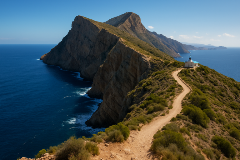
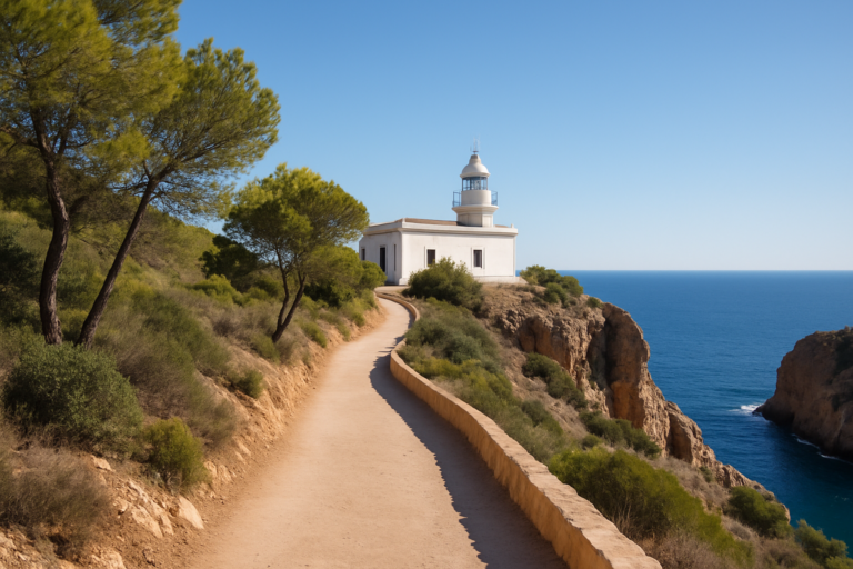
The path from l’Albir through the Serra Gelada Natural Park to the lighthouse is the main walk on the municipality’s coast. The tourism board says the El Albir Lighthouse Trail is wheelchair and pushchair accessible, with views over the coves and an old mine, and recommends comfortable walking shoes and water shoes. A guided version of the walk, starting at the park’s interpretation centre and passing viewpoints and old mines, is listed on the regional tourism site, run by an operator in Benidorm; check the current price and times on that listing. Serra Gelada is a land-and-sea park: 5,564 ha are protected and 88 % of that is sea, according to the park authority, and the cliffs reach more than 300 m according to El Español.
Roman villa and Bombarda Tower
L’Albir Roman Villa has an outdoor museum close to the beach. Bombarda Tower, a defence tower overlooking the sea, stands on the same coast. Both are short stops that fit around a beach morning rather than a day on their own.
Town sights
In l’Alfàs, the parish church, the Escoles Velles centre, the Delso Museum and the Mànec mill can all be seen in a relaxed half day. We did not find opening hours from an official source, so check with the tourist information offices (one in the town and one at the beach) before you go.
Water sports and culture
The regional tourism page highlights water sports, including sailing and windsurfing at Racó de l’Albir, and a film festival held each year, along with music and theatre. We list no festival dates because we could not confirm current ones from an official source.
Beaches and places nearby
Racó de l’Albir is the main beach: pebble, about half a kilometre, with lifeguards and facilities listed by the regional tourism board. The page lists a quality certificate for the beach but gives no year, so check the current season’s official beach-award list rather than assuming it. If you prefer sand, the beaches of Benidorm are a short ride away, and Altea lies on the other side of the bay.
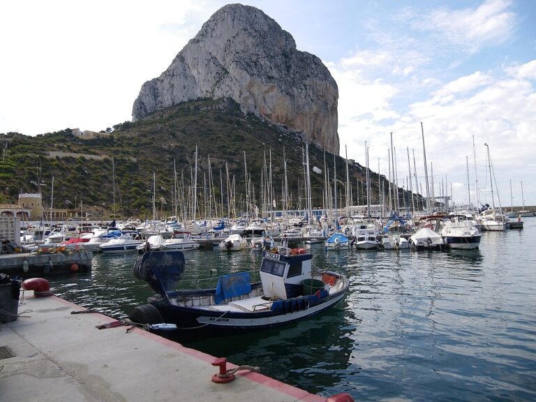
Further on, Finestrat and its small cove are south-west of Benidorm, and Calp and its rock are an easy drive north-east. Serra Gelada itself runs between the bays of Benidorm and Altea, so the lighthouse walk can be combined with either town.
Other town guides nearby: Villajoyosa (about 14 km in a straight line), Moraira (about 24 km in a straight line), El Campello (about 31 km in a straight line).
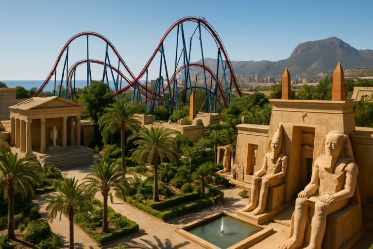
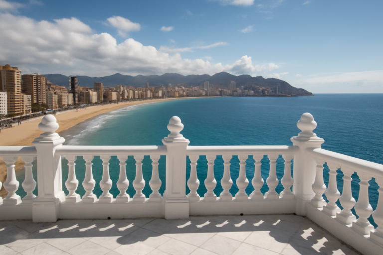
On CostaMap near L’Alfàs del Pi: Serra Gelada Natural Park (3.7 km) · Faro del Albir (l’Albir Lighthouse) (5 km) · Polop de la Marina (5.1 km) · Levante Beach (Benidorm) (5.2 km) · Terra Mítica (Benidorm) (5.3 km) · Benidorm Castle and the Balcó del Mediterrani (5.8 km) · Tossal de la Cala (Benidorm) (8 km) · Puig Campana (8.1 km).
Food and drink
The regional tourism page for l’Alfàs names no local dishes, so we do not either. The seafront at l’Albir has restaurants and cafés listed beside the beach, and the beach page mentions a craft market in the summer months. We found no market day and hours from the town hall, so ask at the tourist information office. We do not name restaurants because we could not verify current openings.
Where to stay
At l’Albir the tourism board lists hotels, a campsite and parking near the beach; apartments and holiday lets are the usual alternative. In the town centre the choice is smaller and mostly apartments and houses. Prices follow Costa Blanca seasons, higher in July and August and lower in spring and autumn. We did not find a reliable official price range, so compare current listings. If you want large hotels and nightlife, Benidorm is the better base.
Getting there and around
By air, Alicante–Elche airport (code ALC) is the nearest, about 52 km in a straight line; road distance and journey time depend on the route, so check a route planner. By tram, TRAM d’Alacant Line 9 runs from Benidorm to Dénia over 17 stations (tramalacant.es) and has a station called l’Alfàs del Pi (Alicante Plaza, on its platform works); check the current stop list and timetable on the TRAM site, since works have changed service in the area. For Alicante city, Line 1 runs from Luceros to Benidorm, and the TRAM site says the trip takes a little over an hour.
On the coast you can do most things on foot: beach, restaurants and the start of the lighthouse trail are within the bay of l’Albir. A car helps for the town and for day trips to Benidorm, Altea and Calp.
Best time to visit
For swimming and beach services, late spring to early autumn is the realistic window; July and August are the busiest months. For the lighthouse walk and the town, cooler months are more comfortable. NASA POWER climatology for a grid point at Benidorm, close to l’Alfàs, gives a mean air temperature of 12.2 °C in January and 25.8 °C in August, and July is the driest month at 0.16 mm per day. Check the forecast on AEMET before a walk.
FAQ
Is l’Alfàs del Pi the same as Albir?
No. L’Albir is the coastal part of the municipality, around Racó de l’Albir beach. The town of l’Alfàs, with the parish church on Plaza Mayor, is the administrative centre and sits apart from the beach.
Does l’Alfàs del Pi have a sandy beach?
The main beach, Racó de l’Albir, is pebble and about half a kilometre long, according to the regional tourism board. For sand, go to Benidorm.
Is the Albir lighthouse walk difficult?
The tourism board describes the lighthouse trail as wheelchair and pushchair accessible. The longer crossing of Serra Gelada is more demanding, so choose the route to match your shoes and fitness.
Can I reach l’Alfàs del Pi by tram from Benidorm?
Line 9 of TRAM d’Alacant runs from Benidorm to Dénia and has a station at l’Alfàs del Pi. Check the TRAM site for current timetables and any works.
Is l’Alfàs del Pi mainly a place for foreign residents?
Foreign residents are more than half of the census, according to El Periódic, a local news site, in 2023. The coast is geared to visitors and residents from abroad.
Sources and freshness
Last checked: October 2026. Sources: Turisme Comunitat Valenciana, l’Alfàs del Pi; Turisme Comunitat Valenciana, Racó de l’Albir beach; Turisme Comunitat Valenciana, parish church of San José; Turisme Comunitat Valenciana, guided Serra Gelada walk; INE, municipal register 2025; Generalitat Valenciana, Serra Gelada Natural Park; El Periódic, local news, 2023; El Español, Albir and Serra Gelada; TRAM d’Alacant, Line 9; Alicante Plaza, l’Alfàs station; NASA POWER; AEMET.
Main photo: Jesús Alenda, CC BY 2.0, via Wikimedia Commons.
Nearby on the Costa Blanca
Lalfas Del Pi on the map
Places worth knowing near Lalfas Del Pi
How this page is maintained. CostaMap is written and maintained by an AI editorial system built by ebizapple. Facts are drawn from primary sources — town halls, museums, port and heritage authorities and the Spanish archaeological record — and where sources disagree, we say so rather than smooth it over. Photographs marked as ours are taken on location. This page was last reviewed on 26 October 2026. Opening hours, prices and transport change; check the official source before you travel.