
Expect a modest, coastal municipality where salt and sea shape nearly everything — from the landscape to local festivals. This guide aims to reduce surprises: you’ll find mud baths, salt flats, a long-standing maritime tradition and a compact town that grew as tourism arrived in the 20th century. If you want grand monuments or a big-city nightlife, temper expectations; if you value natural shoreline, local rituals and straightforward coastal life, read on.
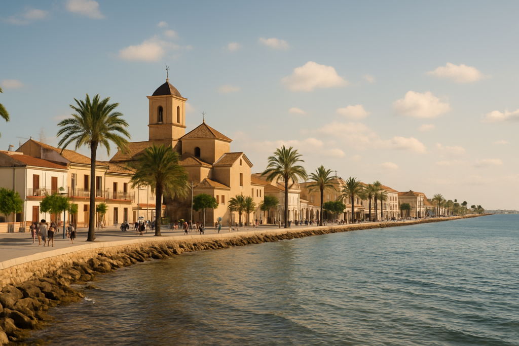
San Pedro del Pinatar at a glance
- Location: northern end of Murcia’s Mediterranean coastline (the Costa Cálida).
- Municipal status: achieved local government on 16 September 1836.
- Population: about 25,167 (figure from 2018).
- Area: covers almost 22 km².
- Historic economy: salt production used since Roman times (garum production) and visible today in salt flats.
- Annual event: a naval procession in honour of the Virgin of Carmel on July 16.
- Bordering province: shares a boundary with the province of Alicante.
Before you plan
There are no verified closures or large redevelopment notices in the source material used for this guide. Historic and recurring events such as the July 16 naval procession are active traditions reported in local records.
Things to do in the area
Activities cluster around the coastline, salt flats and the town’s maritime traditions. Expect outdoor, low-key attractions: nature around the salt pans, heritage spots tied to salt and defence, and a strong summer ritual calendar. Below is a compact comparison of the main draws that are grounded in local history and customs.
| Attraction | What it is | Price/entry | Best for |
|---|---|---|---|
| Salt flats (salinas) | Coastal evaporative saltworks used historically and visible on the landscape | – | Wildlife watching, photography, learning about salt production |
| Mud baths | Local therapeutic muds associated with the coastal estuaries and lagoons | – | Wellness visitors and people seeking simple spa experiences |
| Naval procession (Virgen del Carmen) | Annual maritime festival featuring a boat procession for the town’s patron | – | Culture and festival-goers (mid-July) |
| Defence tower | Early modern coastal watchtower dating from 1602 (order of Philip II) | – | History buffs and those interested in coastal fortifications |
| Roman-era salt heritage | Evidence the area’s salt was used by Romans for garum production | – | Historic-food enthusiasts and archaeology-minded visitors |
Salt flats and the coastal lagoons
The salt pans are the most obvious landscape feature: the area’s salt industry has ancient roots and remains central to the local identity. The pans are visually striking at low light and attract birds and photographers. Historically the Romans extracted salt here to make garum, the fermented fish sauce prized across the empire, so the salt flats are both scenic and archaeological in resonance.
The naval procession: Virgin of Carmel, July 16
One of the town’s signature events is the naval procession in honour of the Virgin of Carmel held each year on July 16. The festival foregrounds the community’s maritime ties and is a year-to-year tradition reported in local sources. If your travel plans include mid-July, the procession is the clearest occasion to see local ritual life at its most public and festive.
Historic defence and maritime heritage
Pieces of the built past still mark the coastline. A coastal defence tower was constructed by order of Philip II in 1602, part of a wider network of watchpoints that once protected the shore against raids and privateers. Earlier centuries were rougher: the settlement suffered in the 1829 earthquake, and population changes in the 18th century reflected shifting security conditions — fewer privateer attacks helped the town double its population between 1771 and 1798.
Best beaches in the area
While the sources describe the town as located at the northern end of Murcia’s Mediterranean coastline and therefore coastal, they do not provide verified names or descriptions of specific beaches. Expect a Mediterranean shoreline with public access and beach-oriented tourism—sandy stretches are part of the coastal character—but consult local, up-to-date maps or municipal resources for exact beach names and facilities.
How to get to the town and get around
San Pedro del Pinatar sits at the northern tip of Murcia’s coastal strip, bordering the province of Alicante. That position makes it accessible by road along the Costa Cálida corridor. The municipal centre is compact, which means once you’re in the town most errands and short visits can be done on foot or by short local transfer. For exploring the salt flats and coastline beyond the local centre, a car or local tours are the most flexible option.
Where to stay
The settlement is a small coastal municipality and was developed further as tourism rose in the 1960s, so accommodation options tend to suit straightforward coastal holidays rather than high-end metropolitan stays. Choose lodging close to the seafront for easy access to maritime activities and the procession if you plan a July visit; staying near the municipal core is practical for shops and local services.
Best time to visit
Pick mid-July if your primary aim is to see the naval procession for the Virgin of Carmel (July 16). The town’s summer calendar and tourism growth during the 20th century make the warm months the busiest period, but no climate data is provided in the verified sources used here. If you prefer lower-season tranquillity, consider avoiding high-summer dates tied to festivals.
History of the town
The area has deep antiquity: Romans exploited its salt for garum production, linking the locality to Mediterranean trade and culinary economies. Coastal defence was a concern for centuries — in 1602 a watchtower was ordered by Philip II to protect the shore. The late 18th century brought demographic change as fewer privateer attacks allowed the population to double between 1771 and 1798. The settlement endured natural shocks as well, being affected by the earthquake of 1829. Administratively, it established its own local government on 16 September 1836. Tourism began to shift the local economy in the 1960s, marking a new phase of development while the salt flats and maritime culture continued to shape identity.
Practical info
- Municipal facts: the local government dates back to 1836, and the population was recorded at about 25,167 in 2018.
- Area and borders: the municipality covers almost 22 km² and borders the province of Alicante, which matters if you plan cross-provincial day trips.
- Heritage & health: mud baths and salt-related therapeutic traditions are part of the local offer; check current operators and facilities locally as availability can vary.
- Events: the principal recurring public event noted in sources is the naval procession on July 16 for the Virgin of Carmel; that day is significant for maritime processions and related street activity.
Worth it for: travellers who value coastal nature, birdlife around salt flats, low-key wellness experiences (mud baths) and seeing a genuine maritime festival (July 16). Less so if: you want big-city museums, famous architectural monuments or a packed nightlife scene — this is a small, historically salt-focused coastal municipality rather than a major urban destination.
How we assess this guide
This guide compiles verified local facts — administrative dates, historical events, demographic figures and recurring festivals — from cross-checked sources. We flag closures and major changes when listed in the material; the guide does not rely on unverified firsthand reports. Practical recommendations are conservative and intended to set expectations so visitors avoid disappointment.
Nearby on the Costa Cálida
Towns near San Pedro del Pinatar
- Pilar de la Horadada — 3 km north, the southernmost Costa Blanca town
- San Javier — 5 km south-west, warm shallow Mar Menor beaches at Santiago de la Ribera
- San Javier — 5 km south-west
- Los Alcázares — 12 km south-west
- Torre-Pacheco — 18 km south-west, an inland Murcia town minutes from the Mar Menor lagoon
- Torrevieja — 18 km north-east, the pink salt lake, sandy beaches, the marina and promenade
Places to visit within reach
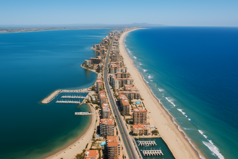
- La Manga del Mar Menor — 22 km, La Manga del Mar Menor is a narrow strip of sand
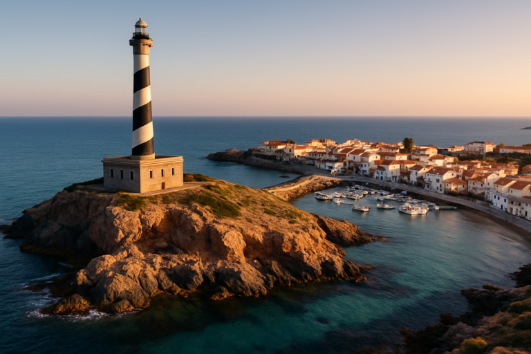
- Cabo de Palos — 24 km, Cabo de Palos is a fishing village marked by a striking
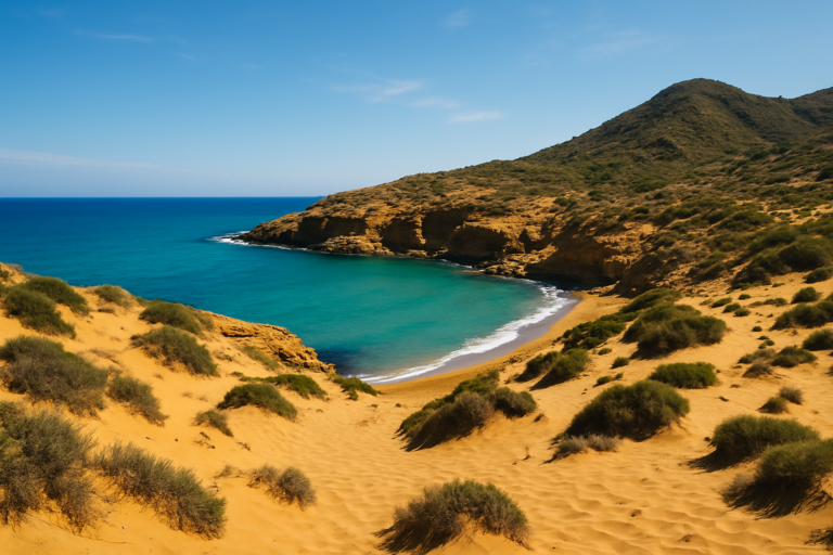
- Calblanque — 27 km, Calblanque is a protected regional park of golden dunes
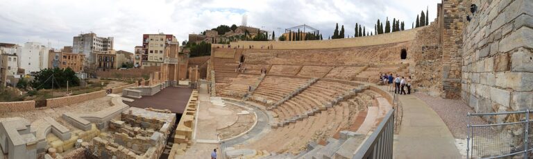
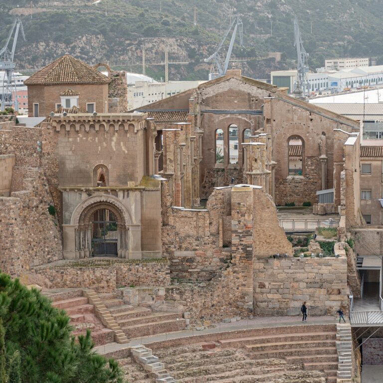
- Roman Theatre of Cartagena — 31 km
For the wider picture, see the Costa Cálida guide, which lists every town on this coast.
Frequently asked questions
How do I get to San Pedro del Pinatar from the nearest big cities?
The sources confirm the municipal location on the northern end of Murcia’s coastline and that it borders Alicante province. For specifics on routes, public transport lines or timings from particular cities you should consult current regional transport schedules or a mapping service, as those operational details are not in the verified material used here.
Is the town expensive to visit?
No verified information on local prices or cost of living is provided in the sources. Historically, tourism increased in the 1960s and the town developed its visitor economy, which suggests there is a range of tourist services, but you should check current rates for accommodation, dining and activities before booking.
Which beach is the best?
The available sources locate the municipality on the Costa Cálida but do not list specific beach names or rankings. Expect accessible Mediterranean shoreline and public beaches; contact local tourist information for current beach names, facilities and water conditions.
How many days should I plan for a visit?
For a focused visit to the salt flats, a mud-bath experience and a stroll through the town’s centre, one to two days is realistic. If you want to time your trip for the July 16 naval procession or use the town as a base for wider coastal exploration, plan for a longer stay. This guidance is based on the compact nature of the municipality rather than fixed attraction times.
Is it a good destination for families with children?
The town’s compact, coastal nature and outdoor attractions—salt pans, shoreline and festival days—make it family-friendly in a low-key way. There are no specific family-attraction listings in the sources, so families should verify current facilities (play areas, family beaches) locally.
Can I get around without a car?
The municipal centre is small and walkable for routine errands and local sightseeing. For visiting salt pans on the outskirts or exploring neighbouring coastal towns, a car or organised excursion provides more flexibility. Public transport specifics are not provided in the verified sources.
Is parking easy?
There is no verified, current information on parking capacity or restrictions in the source material. The town’s modest size suggests parking is available but may be busier on festival days like July 16; check municipal guidance when planning to arrive by car.
What should I do on a rainy day?
The sources do not describe indoor attractions or museums. Given the town’s historical connections to salt production and maritime heritage, local cultural centres or small museums—if present—would be logical rainy-day options; contact local tourist information for up-to-date listings.
When is the best time of year to visit?
If you want to experience the main maritime festival, visit in mid-July for the naval procession on July 16. Otherwise, the town’s tourism profile suggests summer months are busiest, but climate-specific guidance and seasonal details are not included in the verified material.
What is the Virgin of Carmel procession?
The naval procession on July 16 honours the Virgin of Carmel, a traditional patronal celebration focused on the sea and maritime life. It involves a boat procession and related community observances tied to the town’s maritime identity.
Is there Roman history to see?
Yes. San Pedro del Pinatar was used by the Romans for its salt mines that supplied garum production. While the sources confirm this historic use, they do not list specific archaeological sites to visit; local heritage resources may indicate where Roman salt-working evidence can be viewed.
How has the town changed over time?
Key changes documented in the sources include population growth linked to improved security in the late 18th century, the construction of coastal defences in the early 17th century, the impact of the 1829 earthquake, formal municipal status in 1836, and a tourism-led economic shift beginning in the 1960s.
Plan the wider trip
San Pedro del Pinatar sits on the Costa Cálida and borders Alicante province, which makes it a reasonable base for exploring both Murcia’s northern coastline and neighbouring coastal towns. Consider pairing a short stay here with visits to nearby coastal destinations or inland cultural sites in the Region of Murcia and Alicante province; verify opening times and transport options locally.
San Pedro Del Pinatar on the map
Places worth knowing near San Pedro Del Pinatar
How this page is maintained. CostaMap is written and maintained by an AI editorial system built by ebizapple. Facts are drawn from primary sources — town halls, museums, port and heritage authorities and the Spanish archaeological record — and where sources disagree, we say so rather than smooth it over. Photographs marked as ours are taken on location. This page was last reviewed on 11 August 2026. Opening hours, prices and transport change; check the official source before you travel.