
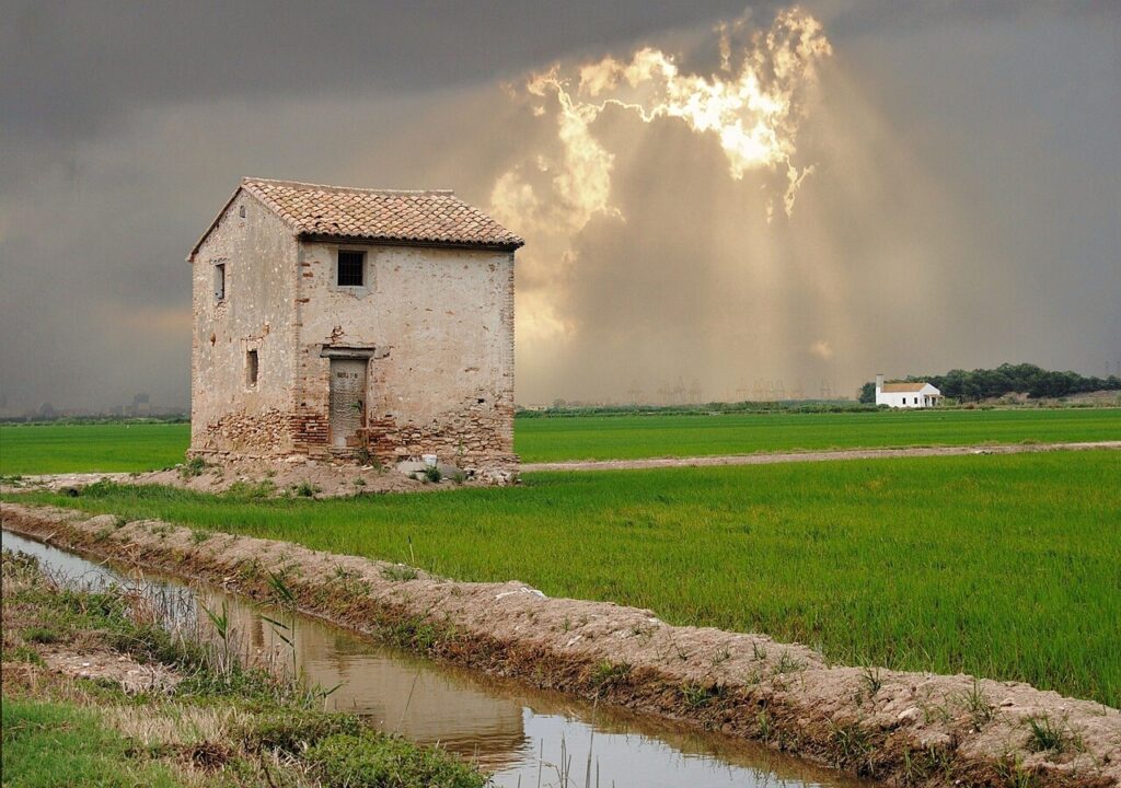
Alfafar: Albufera Rice Fields, Church and Valencia Access
Alfafar is an inland town in L’Horta Sud, about 5.4 km southwest of central Valencia in a straight line, and much of its land lies inside the Albufera Natural Park among rice fields. It suits travellers who want a short, quiet stop between the city and the lagoon, with a historic parish church, a working rural landscape and the Albufera’s boat trips within reach. It does not suit anyone looking for a beach or a resort base. For the wider coast, start with our Costa Valencia guide.
Quick facts
- Place: Alfafar, L’Horta Sud comarca, Valencia province, Comunitat Valenciana.
- Population: 22,270 on 1 January 2025 (INE, table 2903).
- Distance to central Valencia: about 5.4 km in a straight line (calculated from OpenStreetMap coordinates, not a road distance). The Diputació de València tourism portal gives about 6 km.
- Elevation: 6 m above sea level (Diputació de València tourism portal).
- Beach: none named on the Alfafar pages we read. The two beaches we measured, Platja del Saler and Platja de la Malvarrosa, are about 6.6 to 8.5 km away in a straight line (calculated).
- Nature: much of the municipality lies within the Albufera Natural Park. Figures differ by source: spain.info gives 21,120 hectares, while the Diputació de València page gives 223 km².
- Language: Spanish and Valencian, both used on the regional tourism sites we read.
- Market day: not confirmed on the pages we checked. Check with the town hall before you go.
Alfafar on the map
Beaches, sights and nearby towns with a CostaMap page. Click a pin to open it, or switch to places to stay.
Where to base yourself
Alfafar is a single town without separate resort districts, so the choice is mostly about which part of town suits you. The pages we checked name two areas.
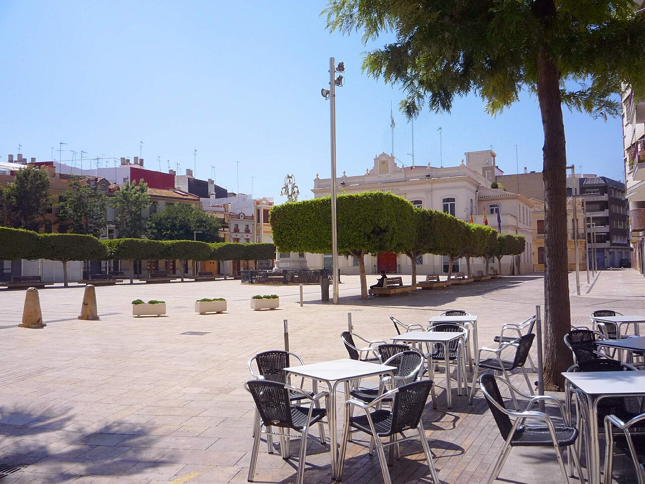
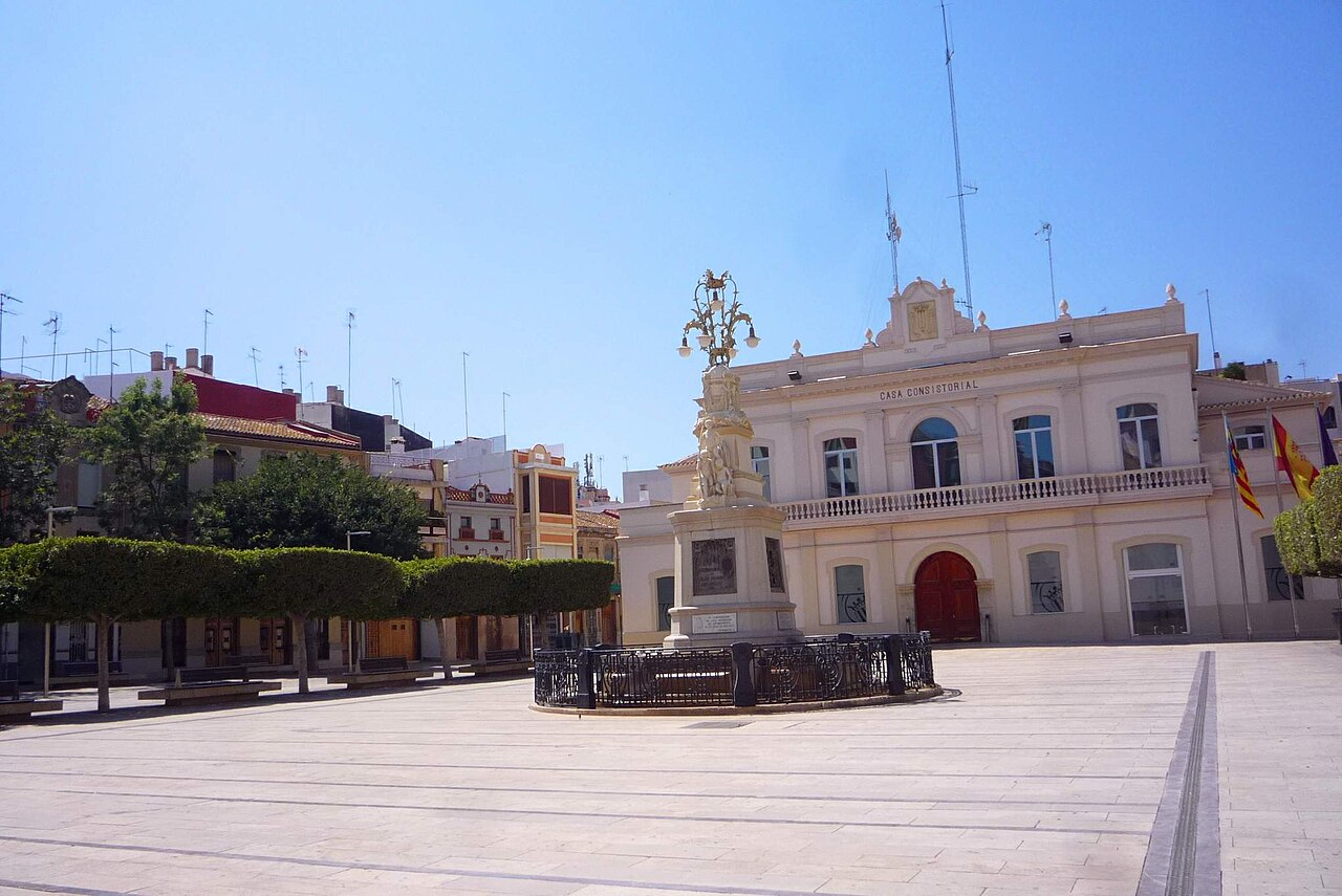
- The old town (Nucli Antic), around the town hall on Plaça del País Valencià. This suits visitors who want the village centre, the parish church and the traditional streets, with their small ceramic altarpieces on some facades.
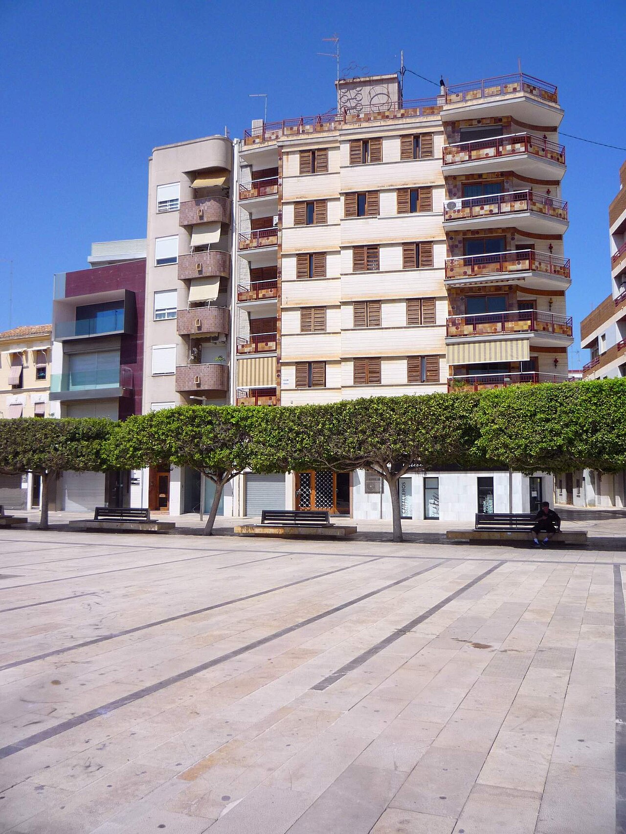
- Parque Alcosa. The Diputació de València tourism portal highlights its traditional Valencian architecture. It suits anyone who wants to look at local housing styles on foot.
The pages we checked do not describe hotels in either area, so this section does not rank them on price or quality.
Things to do
Church and historic buildings
The Church of Nuestra Señora del Don is an 18th-century parish church and the town’s most prominent monument, according to the Diputació de València tourism portal. The Comunitat Valenciana tourism page also dates it to the 18th century and says it houses the image of the town’s patron saint. The same portal gives the church’s dedication as Saint Sebastian and Our Lady of El Don, so check the current name when you visit.
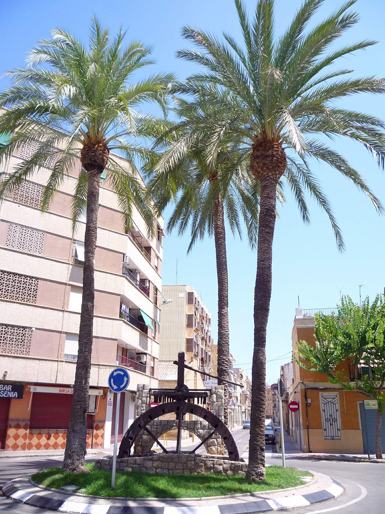
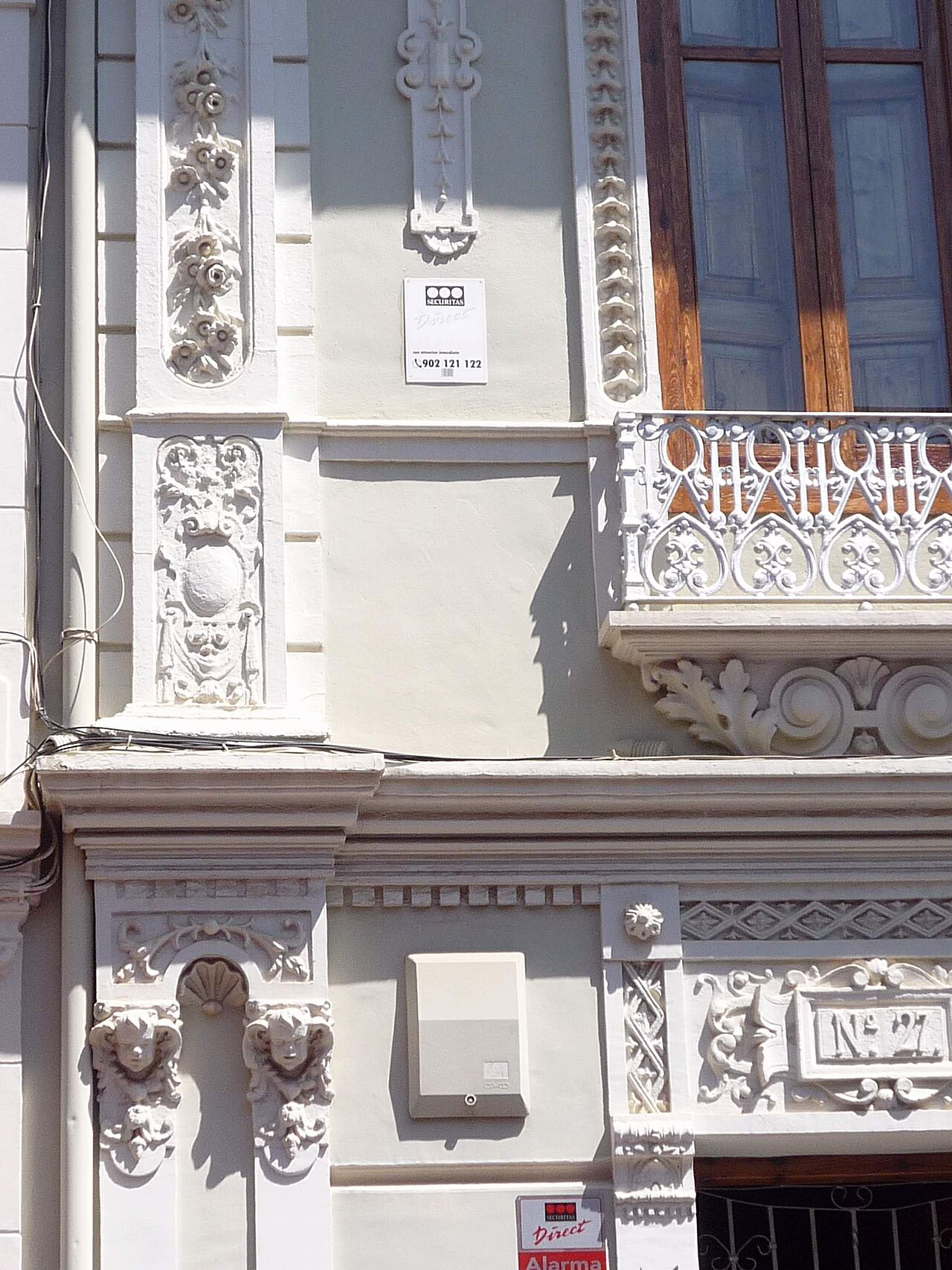
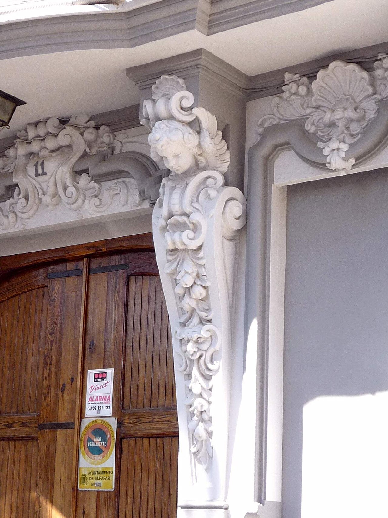
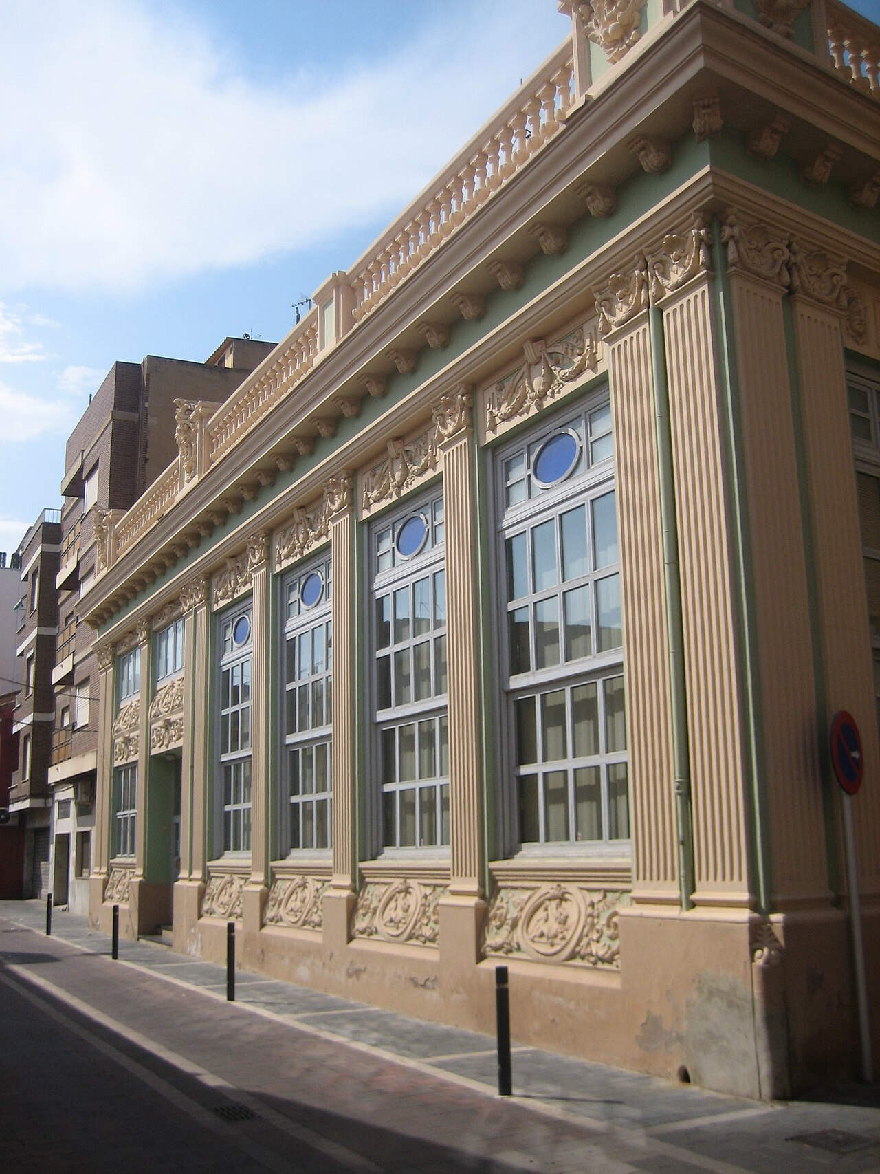
The former Sindicato Arrocero is a 1928 building with a neo-baroque eclectic facade. It now houses the municipal library. The Comunitat Valenciana tourism page recommends photographing the small ceramic altarpieces on some house facades in the old town.
Culture
The Edgar Neville art gallery is municipally owned and shows a wide range of art. The town also has a Cultural Athenaeum, which hosts talks on local issues, and a Musical Athenaeum, home to the municipal band. Opening hours and programme details are not given on the pages we checked, so check before you go.
Rice fields, birds and boats
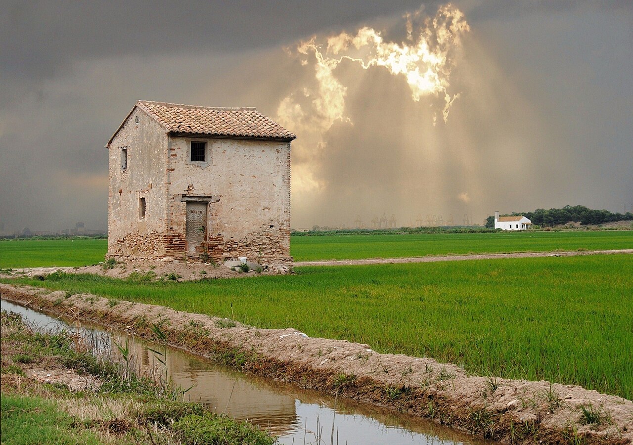
The rice fields around the town are part of the Albufera Natural Park, and the Comunitat Valenciana tourism page highlights birdwatching among them. It also suggests a cycling route through the park and nearby towns, passing irrigation channels. The route is not described in detail, so study a map before you set out.
Traditional boats called albuferenc run trips of about 40 minutes on the lake. Visit València says sunset is the busiest time and advises booking ahead. Most trips leave from the Gola de Pujol landing, with quieter departures from El Saler, Catarroja, Silla, Sollana and El Palmar.
Beaches and places nearby
None of the Alfafar pages we read mention a beach, so the sea is a drive away. Measured in a straight line from the town hall, using OpenStreetMap coordinates, the two beaches we could check are about:
- Platja del Saler: 6.6 km to the access point on the Devesa, and 7.3 km to the beach marker (calculated).
- Platja de la Malvarrosa: about 8.5 km (calculated).
The Racó de l’Olla interpretation centre sits beside the El Palmar road (CV-500) and includes a 50-hectare natural reserve, according to spain.info. Opening hours are not given on the pages we checked. The sources give different phone numbers, so we print none. Check the contact details before you go.
Other CostaMap guides nearby: València, Albal and Paiporta, all within a short drive.
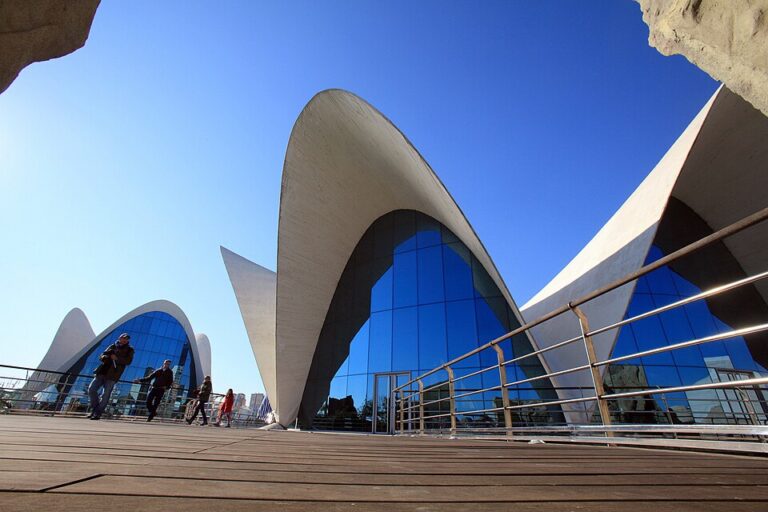
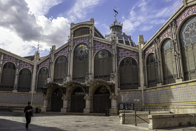
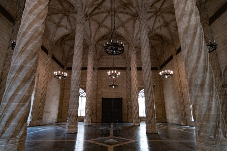
On CostaMap near Alfafar: City of Arts and Sciences (Valencia) (5 km) · Oceanogràfic (València) (5 km) · Central Market (Mercado Central), València (5.7 km) · Silk Exchange (La Lonja de la Seda), València (5.8 km) · Valencia Cathedral (6 km) · Bioparc Valencia (6.3 km) · Torres de Serranos (6.4 km) · Marina Real Juan Carlos I (La Marina de València) (7 km).
Food and drink
The Diputació de València tourism portal lists all i pebre and paella as the most notable local dishes. All i pebre is an eel dish. Visit València says it is served alongside marinated mullet (llissa adobada) at lakeside restaurants and in El Palmar. Visit València also says paella was invented here, while spain.info says the dish is said to originate in the Albufera area. Treat the origin as a claim rather than settled history.
We did not read a source that names specific restaurants in Alfafar, so this guide names none. Check opening times before you go.
Where to stay
We did not read a lodging source for Alfafar, so this guide gives no hotel names, prices or booking links. Check current listings before you go. Valencia city centre is about 5.4 km away in a straight line, so a base in the city is one option to compare with a base in town.
Getting there and around
- By car: the town is about 5.4 km southwest of central Valencia in a straight line. We did not measure a road distance or travel time, so check a route planner.
- Bus to the Albufera: Visit València lists EMT lines 24 and 25 from central Valencia to El Palmar and El Perellonet, taking less than one hour. Both are free with the Valencia Tourist Card. We did not confirm a stop in Alfafar itself, so check EMT before you go.
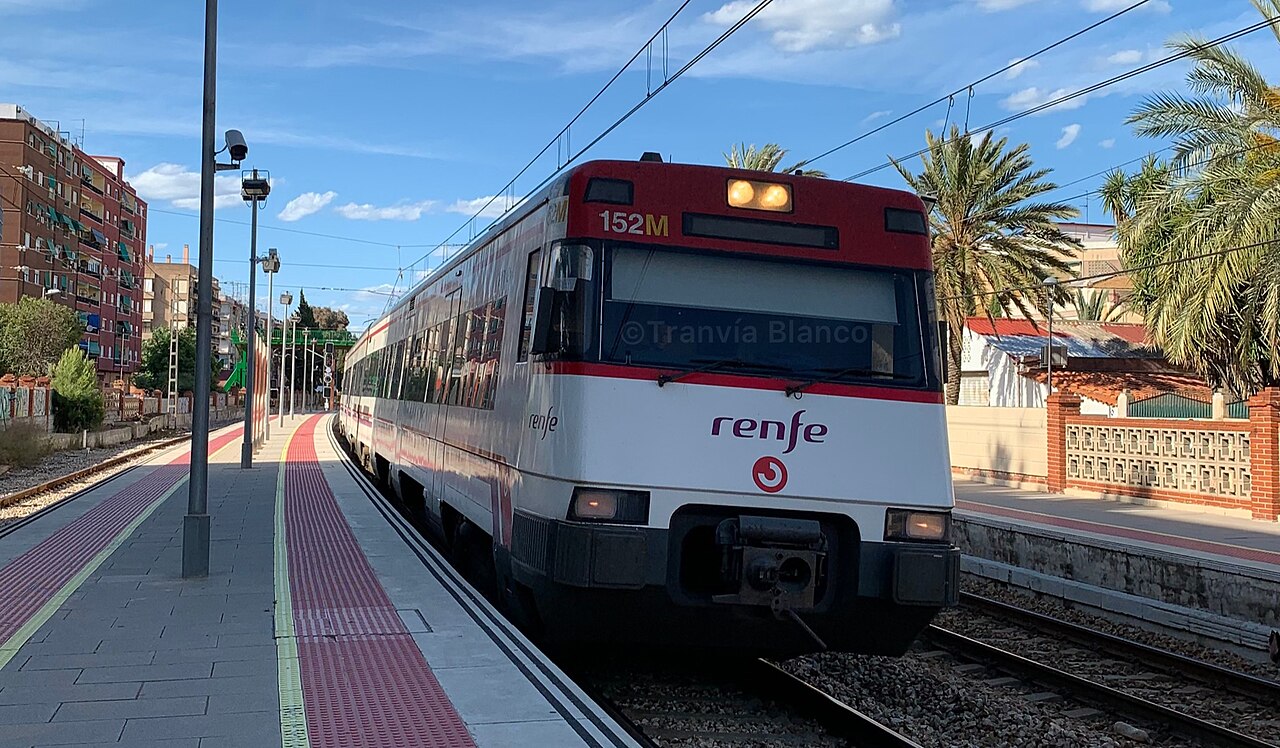
- Rail: we did not confirm a station in Alfafar from an official timetable. Check Renfe Cercanías timetables before you travel.
- Parking: not verified for Alfafar or for the Racó de l’Olla centre.
Best time to visit
The nearest AEMET station we read is València (station 8416, 13 m above sea level). It is in the city, not in Alfafar, and its normals cover 1981 to 2010. Its annual mean temperature is 18.3 °C, the July mean is 25.6 °C, the August mean is 26.1 °C and annual rainfall is 475 mm.
For birds, Visit València says the largest numbers come in autumn, and spain.info says some aquatic species winter on the lake. Festivals named by the Diputació de València tourism portal include Las Fallas, the main fiesta in honour of Our Lady of the Don, and neighbourhood fiestas in El Tremolar and Orba. Check the year’s dates before you go.
FAQ
How far is Alfafar from Valencia?
About 5.4 km in a straight line from the town hall to central Valencia, calculated from OpenStreetMap coordinates. The Diputació de València tourism portal gives about 6 km. Road distance and travel time depend on traffic, so check a route planner.
Is there a beach in Alfafar?
None of the Alfafar pages we read mention one. The two beaches we measured, Platja del Saler and Platja de la Malvarrosa, are about 6.6 to 8.5 km away in a straight line.
Why does the Albufera matter here?
Much of the municipality lies within the Albufera Natural Park and is occupied by rice fields, according to the Diputació de València tourism portal. Birdwatching and boat trips are the main reasons visitors come to the lake.
Which bus lines go to the Albufera?
Visit València lists EMT lines 24 and 25 from central Valencia to El Palmar and El Perellonet, taking under one hour. Check EMT for the current route and fares before you go.
What is worth seeing in the old town?
The Church of Nuestra Señora del Don, an 18th-century parish church, and the 1928 Sindicato Arrocero building, now the municipal library. Both are on the walk through the old town.
Is Alfafar worth a visit?
Yes, as a short stop for the rice landscape, the church and the Albufera boat trips. Skip it if you want a beach, a resort or a long stay.
Sources and freshness
9 sources Show
Last checked: November 2026. Sources: INE, population by municipality, table 2903; Comunitat Valenciana tourism, Alfafar; Diputació de València tourism portal, Alfafar; Diputació de València, Albufera Natural Park; Comunitat Valenciana tourism, Albufera Natural Park; spain.info, Albufera Natural Park; Visit València, Albufera; AEMET, València station 8416, normals 1981 to 2010; coordinates and straight-line distances from OpenStreetMap Nominatim, calculated by us. The Ajuntament d’Alfafar website could not be reached during this check, so the town council’s own figures are not used.
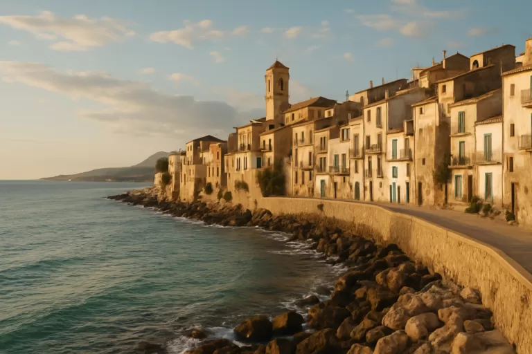
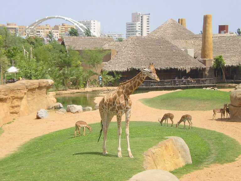
Main photo: Angelo Michele Vitiello, CC BY-SA 4.0, via Wikimedia Commons.
Nearby on the Costa de Valencia
The nearest town guides on this coast, by straight-line distance from Alfafar.

Places worth knowing near Alfafar



How this page is made. CostaMap is written with an AI editorial system run by Ebizapple. This page is based on the sources listed above. Last updated 13 November 2026. Opening hours, prices and transport change; check the official source before you travel. How we work · Partner links and ads