
Small, dense and easy to misread on a map, this is a town that rewards low expectations and curiosity. Don’t come expecting a long list of tourist attractions or coastlines; come expecting a compact, working Valencian municipality where most experiences are about the neighbourhood fabric — short walks, local cafés, and a sense of living space squeezed into a very small footprint. There are practical quirks to know (and a recent natural-disaster history to respect) that will shape any visit more than a glossy postcard ever could.
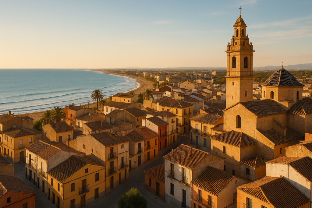
Benetússer at a glance
- Region: Valencian Community, province of Valencia; located in the comarca of Horta Sud.
- Size: under 1 km² — its land area is recorded as 0.76–0.78 km², so everything is close by.
- Elevation: very low-lying at about 11 metres above sea level.
- Language: the official language is Valencian; Spanish is also commonly spoken across the region.
- Postal code: 46910 — useful for navigation apps and deliveries.
- Time zone: Central European Time (UTC+1) and Central European Summer Time (UTC+2) in summer.
- Recent events: the municipality was badly affected by the floods in October 2024; plan for possible local disruption and temporary closures.
Before you plan
Benetússer suffered significant damage in the October 2024 floods. Infrastructure, homes and services were materially affected; some public spaces or businesses may still be closed or under repair when you travel. Check municipal notices or local news close to your trip date and be prepared for limited services or altered opening hours.
Things to do in the town
Because the municipality is extremely small, the main activity for visitors is to slow down and absorb the urban texture rather than tick off widely advertised sights. Expect short walking loops that cover most of the town; the compact scale means you can sample everyday life — from street cafes to small squares — in a single afternoon. Use Benetússer as a quiet base or a brief detour from nearby urban hubs rather than a destination for long itineraries.
Below are practical ideas that fit the locality and the town’s character; these are suggestions of activity types rather than pinpointed commercial listings, because many local businesses are small and changeable.
Strolling the compact centre
With a land area under one square kilometre, almost everything lies within easy walking distance. A simple loop through residential streets will give you a sense of local life: balconies, small plazas and family-run shops. This is where the town feels most authentic — everyday routines and community life, rather than curated tourism.
Observe local architecture and public space
The low elevation and tight urban footprint have shaped building types and street patterns. Take time to notice how housing and small commercial fronts meet the pavement: it’s a concentrated example of suburban/urban living in the Valencian Community. Photography and quiet people-watching are low-impact ways to spend an hour or two.
Support local commerce
Because of the town’s scale and dense population, many services are small and neighborhood-focused. Buying snacks, coffee or groceries locally not only gives you a practical stop but also helps recovery if businesses are still rebuilding after the 2024 floods. Cash and common cards are likely accepted, but small establishments sometimes prefer contactless or cash—bring both if you can.
Benetússer with kids
The town’s tiny footprint makes it well suited to short family outings where long transfers and complicated logistics are kept to a minimum. Walkable streets and compact public spaces mean that parents can do quick strolls without long distances between stops. However, because there are no widely documented attractions aimed at tourists, families should plan to combine a visit here with outings to larger nearby towns or city attractions if they want theme-park style activities or beaches on the same trip.
How to get to Benetússer and get around
The municipality’s very small area makes walking the simplest way to get around once you arrive. Expect short walking times between any point in the town and allow extra time if local roads or services are disrupted after the 2024 floods.
Best time to visit
There are no detailed, ground-truth seasonal records provided here for climate or festival dates, so choose timing based on your tolerance for heat and crowds in the wider Valencian Community. Avoid relying on local festivals or events being active without checking current local sources, especially in the wake of recent flooding which may have postponed or altered annual schedules.
History of the area
The municipality sits in the agricultural-urban belt known as Horta Sud within the province of Valencia. Its development has been shaped by dense urban settlement patterns — historically resulting in a very high population density (recorded as 17,211.5 persons per km² in the 2001 census) — and by the infrastructure and administrative ties of the wider Valencian territory. Local governance is part of a typical Spanish municipal structure; archival records note local leadership details from past decades, illustrating continuity in municipal administration.
Practical info
- Postal code: 46910 — handy for deliveries, navigation and mapping apps.
- Official language: Valencian; Spanish is used broadly as well. Public signage and municipal information may appear in Valencian.
- Time zone: CET (UTC+1) in winter; CEST (UTC+2) during daylight saving.
- Judicial district: the town forms part of the Catarroja judicial district for legal and administrative matters.
- Elevation: approximately 11 metres above sea level — the very low-lying profile is one reason flood risk matters here.
- Size and density: expect very small distances between locations (under 1 km² total area) and historically high density of residents. That makes neighbourhood streets compact but also means public space can feel busy at peak times.
Worth it for: visitors who want a very compact, walkable experience that showcases everyday Valencian urban life and for those transiting through the Valencia province who value short detours and local neighborhoods.
Less so if: you are seeking beaches, large tourist attractions or an itinerary built around multiple museums and theatrical programming — those require travel to larger nearby cities or coastal resorts.
How we assess this guide
This guide compiles verifiable municipal facts — area, elevation, administrative ties, historical population density and recent events — and prioritises honesty over embellishment. We cross-checked official records and local reporting for occurrences that materially affect visitors (for example the October 2024 floods) and flag those changes clearly. This is not a first-hand field report; instead we synthesise authoritative sources, exclude unverified attractions or hours, and avoid guessing on details that change frequently.
Frequently asked questions
How far is the town from Valencia city?
There is no explicit distance value provided in the verified records here. What is recorded is that the municipality is in the province of Valencia and the Valencian Community; for an accurate travel time or distance you should consult a map or navigation tool.
Is Benetússer expensive to visit?
There are no ground-truth price or cost-of-living figures included in the available data. Local costs vary by type of service and exactly where you are travelling from; typical advice is to expect prices aligned with suburban towns in the wider Valencian region, but check current menus and listings for concrete numbers.
Which beach is best from here?
The verified information does not list beaches within the municipality. If a beach visit is a priority, plan to travel outside the town to coastal areas within the province of Valencia — use regional maps to identify the closest seaside options.
How many days should I spend?
Because of its extremely small area, many visitors find a half-day to a full day adequate to get a feel for the place. Extend your stay if you need a low-key base for exploring surrounding towns and the broader Valencian region.
Is the town suitable for families with young children?
Yes for short outings: the compact, walkable layout makes short trips simple with children. For family-oriented attractions such as larger parks, museums or beaches you will need to plan excursions beyond the municipality.
Can I get around without a car?
Once you arrive, yes — the town’s tiny footprint makes walking the most practical option. For regional travel beyond the municipality, consult transport providers or regional schedules; no specific intercity connections are detailed in the verified sources used here.
Is parking difficult?
There are no grounded, up-to-date parking specifics in the records we used. Given the high historical population density and compact streets, expect limited space in central areas and plan accordingly — arrive early or use peripheral drop-off points if available.
What are good rainy-day options?
Verified sources do not list museums, theatres or indoor attractions within the municipality. On wet days, consider combining a short visit with trips to larger nearby towns or the city of Valencia to access indoor cultural venues and shopping.
When is the best time to visit?
There are no specific climate months or festival dates recorded in the factset. Choose dates based on your comfort with seasonal weather in the Valencian Community, and check local sources for event calendars — especially since the October 2024 floods may have altered annual programming.
What languages will I hear and see?
Valencian is the official language of the municipality; Spanish is also commonly used in the region. Public signage and municipal communications may appear in Valencian.
Has the town experienced any major disruptions recently?
Yes. The municipality was badly affected by the floods in October 2024; recovery and repairs may still be underway. Check the latest municipal announcements before travel.
Where does the town sit administratively?
It is a municipality within the Valencian Community, in the province of Valencia, and forms part of the comarca of Horta Sud. For judicial matters, it belongs to the Catarroja judicial district.
What is the postal code?
The recorded postal code is 46910.
How high above sea level is the town?
The town’s elevation is recorded at about 11 metres (36 feet), which helps explain flood vulnerability in extreme weather events.
How dense is the municipality?
At the 2001 census the municipality had 13,425 inhabitants and a very high population density of 17,211.5 persons per km², at that time ranking third highest in Spain after Mislata and L’Hospitalet de Llobregat.
Plan the wider trip
Nearby on the Costa de Valencia
Benetusser on the map
Places worth knowing near Benetusser
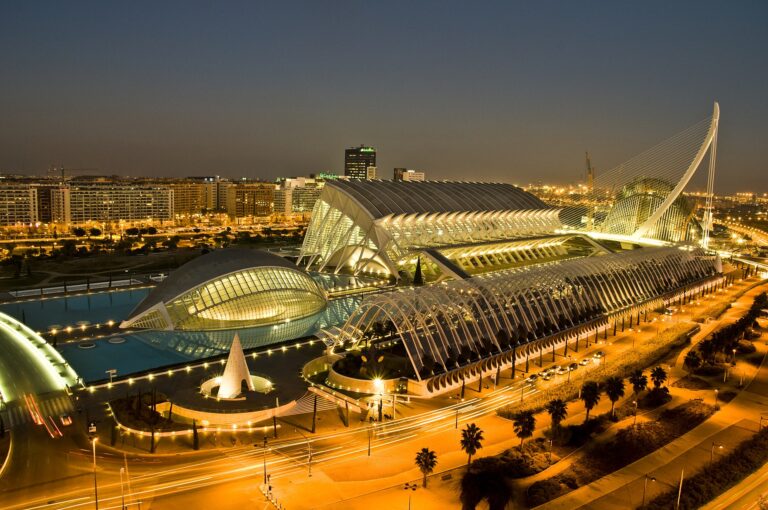
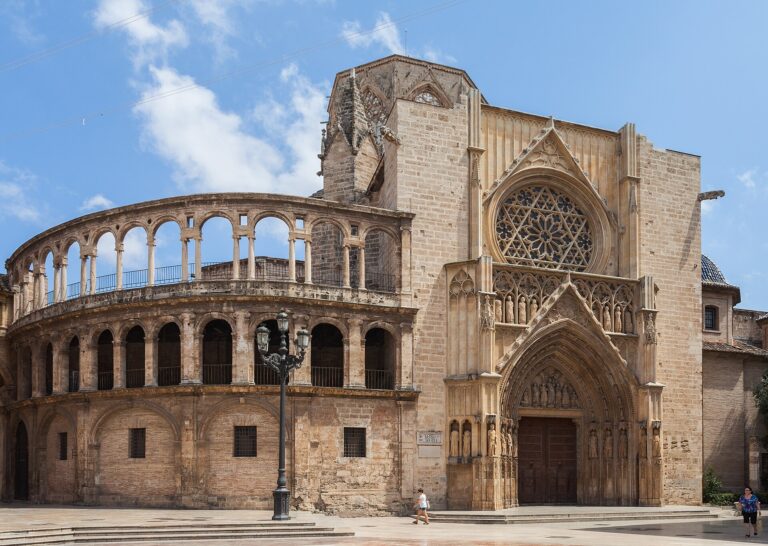
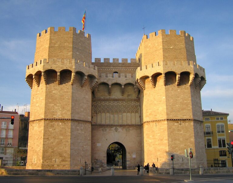
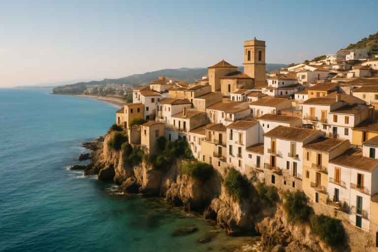
This place is part of our Costa de Valencia Guide: The City, the Albufera and Paella — see every town, beach and cove we have mapped on that coast.
How this page is maintained. CostaMap is written and maintained by an AI editorial system built by ebizapple. Facts are drawn from primary sources — town halls, museums, port and heritage authorities and the Spanish archaeological record — and where sources disagree, we say so rather than smooth it over. Photographs marked as ours are taken on location. This page was last reviewed on 14 August 2026. Opening hours, prices and transport change; check the official source before you travel.