
Costa Blanca · South
Santa Pola, Torrevieja and Orihuela Costa travel guide: the southern Costa Blanca
From the cape of Santa Pola to the Murcia border: long sandy beaches, the dune pinewoods of Guardamar, two salt lagoons where flamingos feed, the coves of Orihuela Costa and the palm groves of Elche inland.
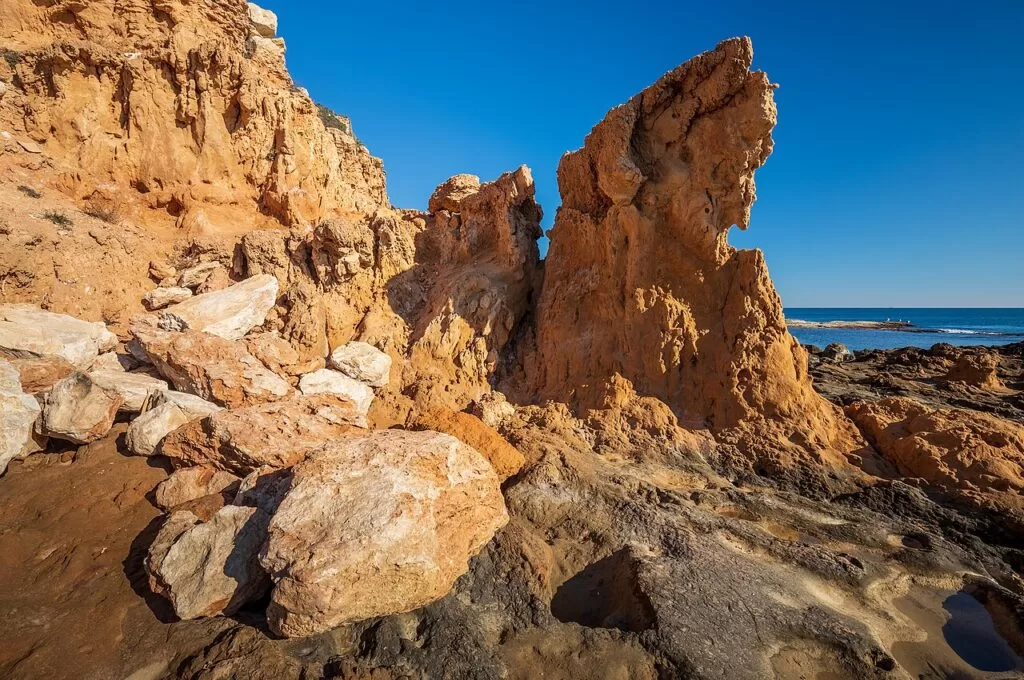
Cala de la Higuera, Torrevieja · Photo: Ximonic (Simo Räsänen), CC BY-SA 4.0
Part of the Costa Blanca guide · The south: Santa Pola to Pilar de la Horadada
The southern Costa Blanca is the coast of Alicante province south of Alicante city: from Santa Pola and the beaches of Elche in the Baix Vinalopó, past the mouth of the Segura at Guardamar, to Torrevieja, Orihuela Costa and Pilar de la Horadada in the Vega Baja, where the Region of Murcia begins. Here the coves of the north give way to long sandy beaches, dune belts and salt lagoons, and two natural parks of salt pans, Santa Pola and La Mata–Torrevieja, hold flamingos for much of the year (Comunitat Valenciana).
At a glance
- Where from the cape of Santa Pola and the beaches of Elche south past Guardamar del Segura and Torrevieja to Pilar de la Horadada, about 38 km in a straight line from Santa Pola to Mil Palmeras. Two comarcas: the Baix Vinalopó and the Vega Baja del Segura.
- Towns Santa Pola and Gran Alacant; the Elche coast; Guardamar del Segura; Torrevieja; Orihuela Costa; Pilar de la Horadada. Inland: Elche, Orihuela, Rojales.
- Best for long beaches with full services, flamingos and salt lagoons, dune pinewoods, Roman and Phoenician sites, accessible beaches, golf, and day trips to Tabarca and the Palmeral of Elche.
- Getting there Alicante–Elche airport is about 10 km from Santa Pola and 35 km from Torrevieja; Región de Murcia airport is about 30 km from Pilar de la Horadada, in a straight line. The N-332 coast road links the towns.
Map of the southern Costa Blanca
The map shows the places on this stretch that have a CostaMap page in the Baix Vinalopó, from the cape of Santa Pola to the Segura. Tick a place type to filter, and click a marker to see the place in the panel.
Interactive map of the comarca: Baix Vinalopó map (Santa Pola and Elche) → · Vega Baja map (Guardamar, Torrevieja, Orihuela Costa and Pilar de la Horadada) →
Place type
Area · next level
 Area map
The south: Santa Pola to Pilar de la Horadada
Click a marker to see the place here. The Baix Vinalopó coast from the cape of Santa Pola to the Segura, with the Vega Baja beyond on its own map.
Towns and beachesTowns and villages
North to south, coast first, with the inland towns reached from it. Facts are from the Valencian regional tourist board (Comunitat Valenciana) and Spain.info; distances are straight-line from OpenStreetMap.
Santa Pola: the town, port and castle
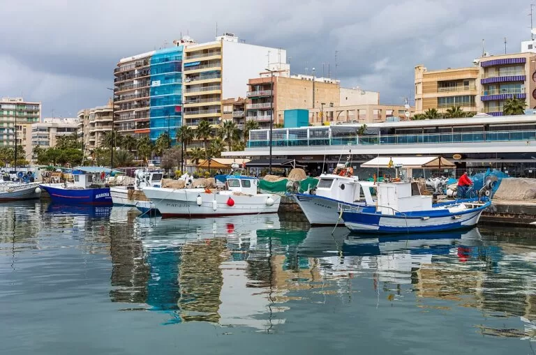
Santa Pola is a fishing town in the Baix Vinalopó, about 20 km from Alicante. In Roman times its port, Portus Illicitanus, served Elche; its remains, including a 4th-century villa with mosaics, can be visited by appointment with a guide (Comunitat Valenciana). In the centre stands the Renaissance castle-fortress, built in the 16th century against pirates and now home to the Sea Museum (Comunitat Valenciana). The working harbour keeps its fish market, and boats leave from it for Tabarca Island (Spain.info). Our place page: Santa Pola.
Santa Pola: the cape, Gran Alacant and the coves
East of the town the land rises to the cape, a fossil reef millions of years old with trails to cisterns, viewpoints and the 16th-century watchtowers of Atalayola, now the base of the lighthouse, and Escaletes (Comunitat Valenciana, Santa Pola). Below the cape, the Cabo de l’Aljub coves stretch for over a kilometre beside a Messinian fossil coral reef (Comunitat Valenciana); our cove guide covers Caleta dels Gossets.
The Elche coast: Arenales del Sol, El Carabassí and La Marina
Elche has a coast of its own on both sides of Santa Pola. To the north, Arenales del Sol runs for almost three kilometres behind protected dunes crossed by wooden boardwalks, about 5 km from the airport (Comunitat Valenciana). El Carabassí, almost 1 km long, has fossil dunes and pine woods and is a nudist beach with full services (Comunitat Valenciana). To the south, between the Santa Pola salt pans and the Segura, the district of La Marina has three quieter beaches: El Pinet, 730 m long under a pine wood; La Marina, 1,100 m; and Les Pesqueres-El Rebollo, 1,360 m of almost wild sand (Comunitat Valenciana).
Elche (inland)
Elche, the capital of the Baix Vinalopó, is about 16 km inland and has three UNESCO listings. The Palmeral, a World Heritage Site since 2000, has more than 200,000 palm trees and still uses an irrigation system of Islamic origin (Comunitat Valenciana). The Basilica of Santa María is the stage of the Misteri d’Elx, a sung drama performed on 14 and 15 August (Spain.info). West of the city lies the El Hondo natural park; between Elche and Santa Pola is the Río Safari animal park. Our place page: Elche (Elx); inland neighbour: Crevillent, with Alannia Costa Blanca beside El Hondo.
Guardamar del Segura
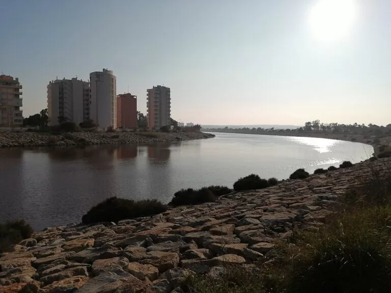
Guardamar del Segura, at the mouth of the Segura, is the first town of the Vega Baja. It has 11 km of beaches backed by about 800 ha of dune woodland of pine, eucalyptus and palm, up to 1,400 m wide (Comunitat Valenciana); see our Guardamar Dunes guide. In the dunes lie two sites of national importance: the Phoenician port town of La Fonteta, from the 8th to 5th centuries BC, and the Rábita Califal, a 10th-century Islamic retreat with 23 prayer rooms and a mosque (Comunitat Valenciana). Place page: Guardamar del Segura; more in our Guardamar guide.
Rojales, San Fulgencio and the Segura valley
Just inland, the lower Segura is a landscape of irrigated huerta. Rojales keeps a 17th-century weir, an 18th-century bridge and a 19th-century waterwheel on the river (Comunitat Valenciana), cave houses and an aquapark in Ciudad Quesada. San Fulgencio, a few kilometres from the beach, has an 18th-century church and an archaeological museum (Comunitat Valenciana); its coast includes the Dunas y Mar Camperpark. Further up the valley is Almoradí. Campsite near Guardamar: Alannia Guardamar.
Torrevieja: the centre, port and seafront
Torrevieja lives from the sea and from salt. Its two salt lagoons produce more than a million tonnes a year, and the ships that carried salt to Cuba brought back the habaneras still sung at the town’s summer contest (Spain.info). In the centre, El Cura beach, 375 m long, has the Las Columnas monument; along the Paseo Juan Aparicio, man-made breakwaters create small bathing pools (Comunitat Valenciana). The port holds the Marina Internacional and the Delfín S-61 submarine, now a floating museum. Place page: Torrevieja.
Torrevieja: Los Locos, Cabo Cervera and La Mata
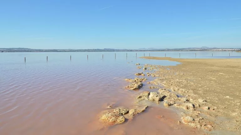
North of the centre, Los Locos beach sits between Punta del Salaret and El Palangre cove (Comunitat Valenciana). Cabo Cervera has small rocky coves for snorkelling and the Torre del Moro on the headland. Further north, La Mata beach runs for more than two kilometres beside dunes and the 16th-century tower that guarded the salt exchange (Comunitat Valenciana). Behind the town lie the pink lagoon and the La Mata lagoon (see our Pink Lake guide); Aquopolis Torrevieja is the water park.
Orihuela Costa: Punta Prima, Playa Flamenca and La Zenia
South of Torrevieja the coast belongs to Orihuela, whose centre is 30 km inland. Spain.info names Punta Prima, Playa Flamenca, La Zenia, Cabo Roig and Dehesa de Campoamor as the main resorts (Spain.info). Punta Prima beach is 234 m long, with a lift for people with disabilities (Comunitat Valenciana). At Playa Flamenca, Cala Mosca and Cala Estaca form a continuous strip with a promenade and a sundial (Comunitat Valenciana). In La Zenia, Cala Bosque, also called La Zenia beach, is 258 m long, and Cala Cerrada is a 167 m cove under a low cliff (Comunitat Valenciana).
Orihuela Costa: Cabo Roig and Dehesa de Campoamor
At Cabo Roig, La Caleta beach, 387 m long, lies sheltered by the cape under the Cabo Roig watchtower, a listed monument, next to a small marina (Comunitat Valenciana). Further south, Dehesa de Campoamor has three beaches: the Aguamarina coves, about 500 m and popular for snorkelling; La Glea, over 500 m and the widest sand on this stretch; and Barranco Rubio beyond the Campoamor marina (Comunitat Valenciana). Behind them, the Sierra de Escalona and Dehesa de Campoamor natural park covers pine woods and ravines across Orihuela, Pilar de la Horadada and San Miguel de Salinas (Comunitat Valenciana).
Orihuela (inland)
Orihuela, on the Segura below Monte de San Miguel, has a historic centre declared a conservation area in 1969, with the Gothic and Renaissance cathedral, the churches of Santas Justa y Rufina and Santiago, and the house-museum of the poet Miguel Hernández (Comunitat Valenciana). The Palmeral de San Antón is described as the second largest palm grove in Europe (Comunitat Valenciana).
Pilar de la Horadada and Mil Palmeras
Pilar de la Horadada is the last town before the Region of Murcia. On its coast, the 16th-century Torre Horadada, a round three-storey masonry watchtower, stands between El Puerto and El Conde beaches (Comunitat Valenciana). At the northern edge, our new Mil Palmeras beach guide covers the Blue Flag beach shared with Orihuela, with an evening craft market in summer; from the promenade at nearby Río beach you can see a Roman quarry of the 1st and 2nd centuries (Comunitat Valenciana). Campsite: Camping Lo Monte.
Beaches and coves
Mostly long sand with full services; coves only at the cape of Santa Pola, Cabo Cervera and Orihuela Costa. Lengths from the regional tourist board.
Santa Pola town beaches
Gran Playa (1,425 m, with palm trees), Tamarit (840 m of smooth, shallow sand), Llisa (670 m, for windsurfing), Llevant and Varador, the finish of the Tabarca–Santa Pola swim (Comunitat Valenciana).
See the Santa Pola guide →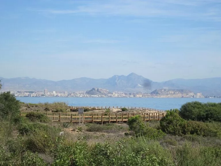
Arenales del Sol and El Carabassí
Almost 3 km of Blue Flag sand behind fossil dunes, and a nudist beach of nearly 1 km under the pine woods of Gran Alacant.
See the Arenales del Sol guide →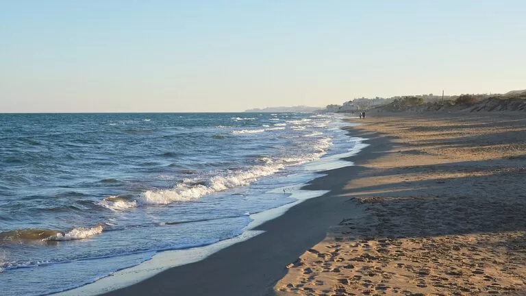
Guardamar beaches
11 km from Els Vivers (1,210 m, no buildings) and La Babilonia, with its fishermen’s houses, to El Moncayo (1,451 m) and the wild Los Tusales (1,600 m) (Comunitat Valenciana).
See the Guardamar Dunes guide →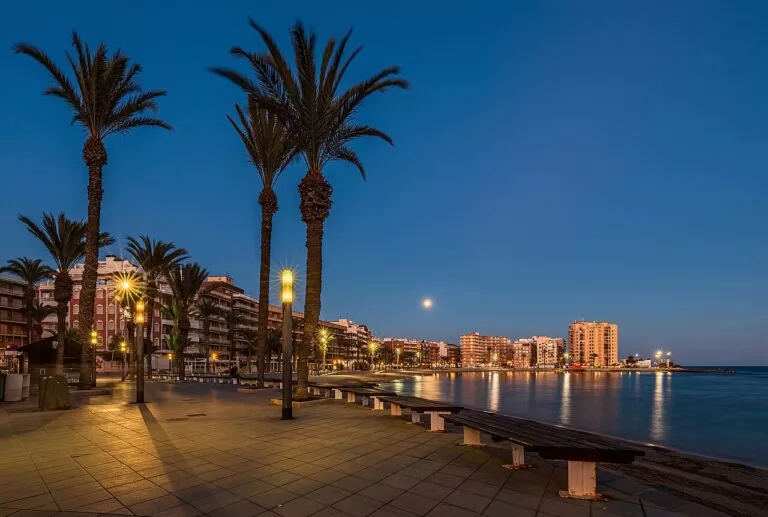
Torrevieja beaches
La Mata (over 2 km), Los Locos, El Cura (375 m) and Los Náufragos (300 m), plus the seafront pools on the Paseo Juan Aparicio and coves for snorkelling at Cabo Cervera and Cala Piteras.
See the Torrevieja guide →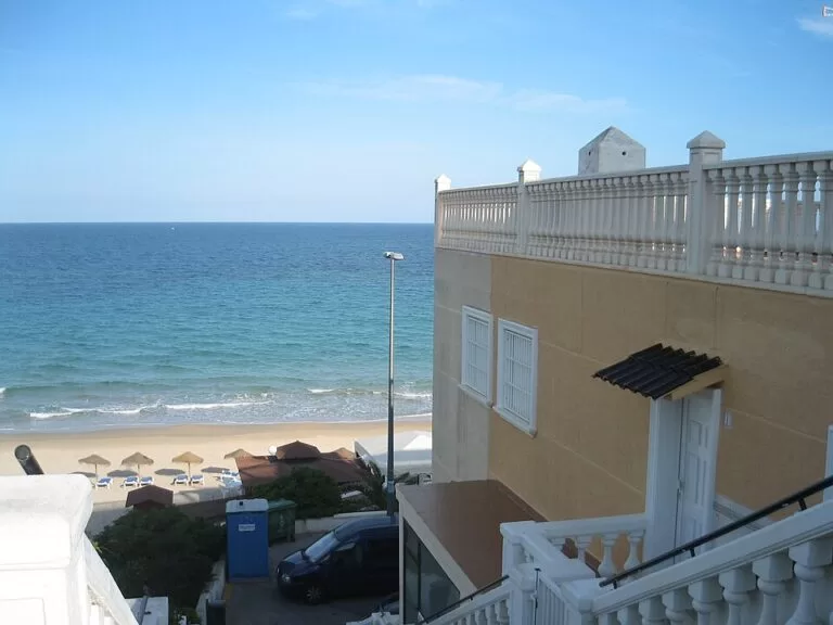
Orihuela Costa coves and Mil Palmeras
Short, well-equipped coves with accessible points: Punta Prima, Cala Mosca, Cala Bosque, Cala Cerrada, La Caleta at Cabo Roig and La Glea, then the Blue Flag sand of Mil Palmeras.
See the Mil Palmeras guide →Things to do
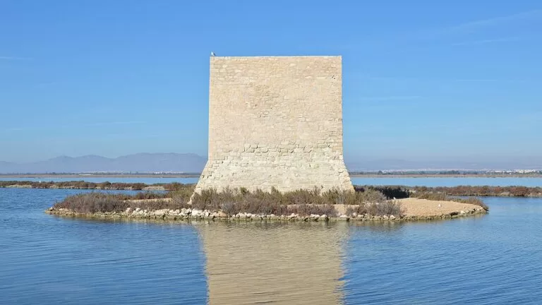
Nature: salt pans, lagoons and dunes
The Salinas de Santa Pola natural park covers 2,470 ha of salt pans, freshwater pools, dunes and beaches on the Ramsar list, with up to 8,000 flamingos and the 16th-century Tamarit tower standing in the water (Comunitat Valenciana). The Lagunas de La Mata y Torrevieja park has two lagoons, a pink one coloured by the micro-alga Dunaliella salina, viewpoints and signed walks (Comunitat Valenciana). El Hondo, the Clot de Galvany and the Guardamar dunes add more wetland and woodland.
History: Phoenicians, Romans and palm groves
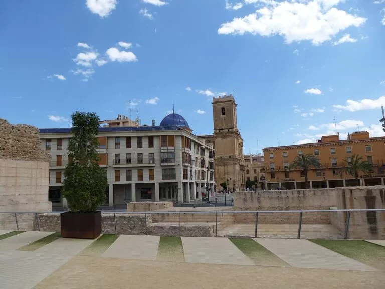
The Phoenician town of La Fonteta, which the tourist board calls one of the best conserved Phoenician cities in the Mediterranean, is currently closed for restoration (Comunitat Valenciana); Guardamar’s archaeological museum covers it, the Rábita Califal and the Iberian site of Cabezo Lucero, where the Lady of Guardamar was found. Inland, Elche’s Palmeral, Basilica and Misteri, and Orihuela’s cathedral and castle hill fill a day each.
Food, music and festivals
Rice is the dish of the coast, cooked “a banda” with fish stock or black with squid ink, alongside red prawns and Norway lobster (Spain.info). Torrevieja holds its international habaneras contest in summer and a “Noche de Habaneras” dinner on El Cura beach (Comunitat Valenciana). Elche’s Misteri is sung in the basilica on 14 and 15 August.
Walking: the Vía Verde de Torrevieja is an almost 7 km greenway along the pink lagoon, open to walkers, bikes and wheelchairs (Comunitat Valenciana). In the Sierra de Escalona park, the Río Seco route is a 3.8 km circuit from the Pinar de Campoverde.
Where to stay by town
The bases we would choose:
Santa Pola
A working fishing town with a castle, the cape and boats to Tabarca, 10 km from the airport. Best for short stays and food.
Harbour, airport, Tabarca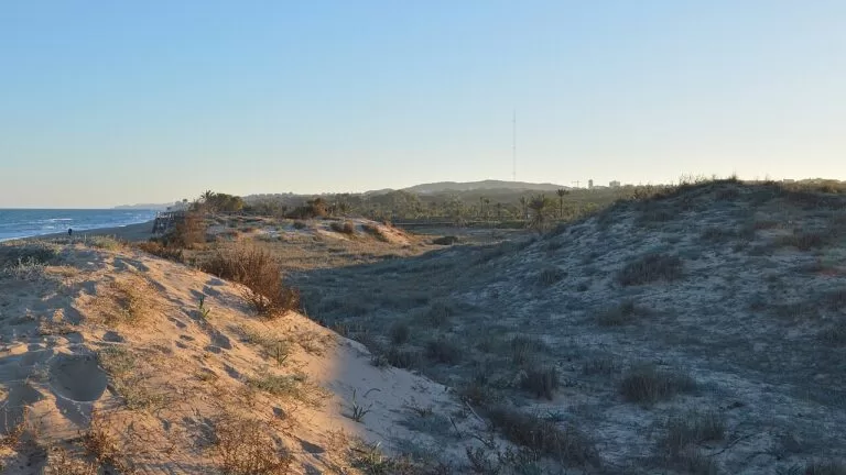
Guardamar del Segura
A compact town between the river and the dune pinewoods, with long beaches on both sides. Best for families and walkers.
Dunes, quiet beachesTorrevieja
The biggest town on this coast, with the most hotels, restaurants and a year-round marina. Best without a car and in winter.
Services, promenade, lagoonsOrihuela Costa and Mil Palmeras
Residential resorts above coves and short beaches, close to the golf courses. Best for a quiet week with a car.
Coves, golf, accessible beachesGetting there and around
By air
Alicante–Elche (ALC) is about 10 km from Santa Pola, 23 km from Guardamar and 35 km from Torrevieja; Región de Murcia (RMU) is about 30 km from Pilar de la Horadada, in a straight line (OpenStreetMap).
By car and bus
The N-332 runs along the whole coast; the tourist board’s beach pages for Orihuela Costa give access from it. Intercity buses reach Arenales del Sol from Elche and Alicante, La Marina from Alicante and San Fulgencio, and El Pinet from Elche. We did not check 2026 timetables.
By boat
Boats to Tabarca leave from Santa Pola harbour (Spain.info). There is no railway along this coast.
A two-day route
By car, with a night in Guardamar or Torrevieja.
Day 1
Santa Pola, Tabarca and the salt pans
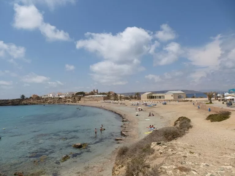
Morning boat from Santa Pola to Tabarca. Then the castle-fortress and the cape lighthouse viewpoint. Late afternoon at the Tamarit tower and the salt pans for flamingos, and a swim at El Pinet.
Day 2
Guardamar dunes to Torrevieja’s lagoons
Walk the Guardamar dune pinewoods to the Rábita Califal. Drive to Torrevieja for the Vía Verde along the pink lagoon, then the seafront pools and El Cura. End with sunset at Cabo Roig.
FAQ
Which towns are on the southern Costa Blanca?
From north to south: Santa Pola, the Elche coast (Arenales del Sol, La Marina), Guardamar del Segura, Torrevieja, Orihuela Costa and Pilar de la Horadada.
Where is Orihuela Costa?
The coastal part of the municipality of Orihuela, between Torrevieja and Pilar de la Horadada. Its resorts include Punta Prima, Playa Flamenca, La Zenia, Cabo Roig and Dehesa de Campoamor.
Which airport is best for Torrevieja?
Alicante–Elche is about 35 km from Torrevieja in a straight line and Región de Murcia about 44 km. For Pilar de la Horadada and Mil Palmeras, Murcia is closer.
Why is the lake in Torrevieja pink?
Because of Dunaliella salina, a micro-alga that lives in very salty water. The colour is strongest in summer, according to the regional tourist board.
Where can you see flamingos near Alicante?
In the Salinas de Santa Pola natural park, which holds up to 8,000 flamingos, and in the La Mata and Torrevieja lagoons.
How do you get to Tabarca from Santa Pola?
By boat from Santa Pola harbour. Check the operators in the port for 2026 times and prices.
Other areas of the Costa Blanca
Costa Blanca
The whole coast of Alicante province, with the map and the four areas.
Costa Blanca guide →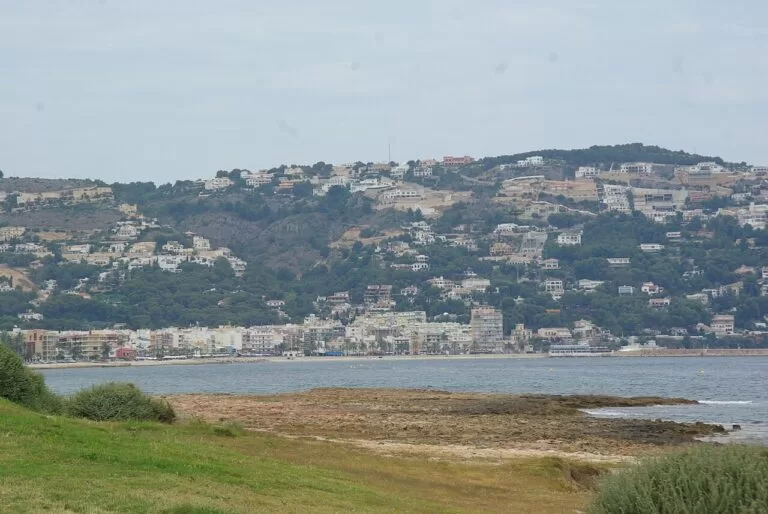
Marina Alta: Dénia, Xàbia and Calp
Cliffs, coves and the Montgó, with ferries to the Balearics from Dénia.
Marina Alta guide →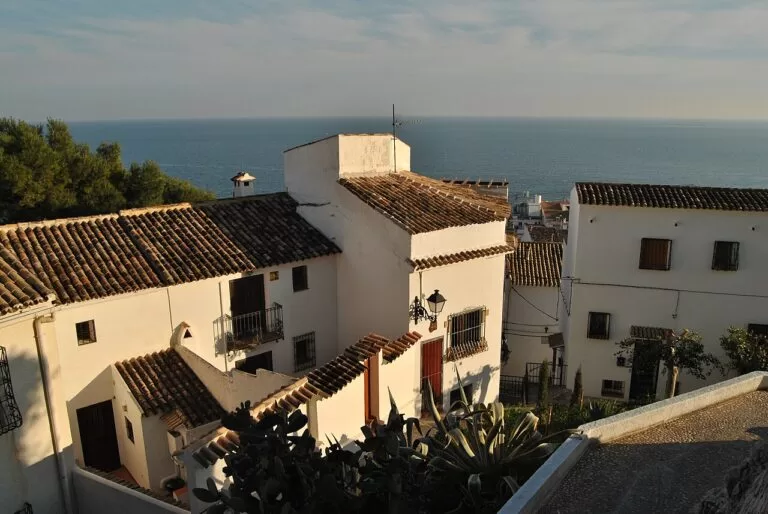
Marina Baixa: Altea and Benidorm
The bays of Altea and Benidorm and the Serra Gelada cliffs.
Marina Baixa guide →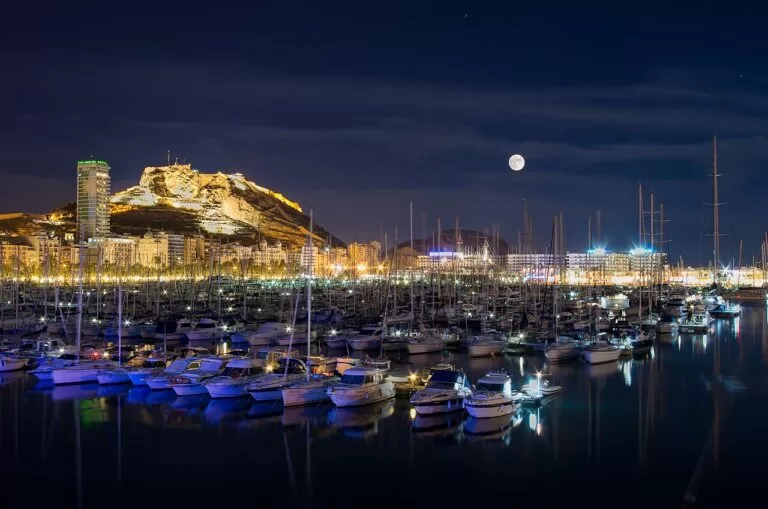
L’Alacantí: Alicante and Tabarca
The city, its castle and beaches, next door to the north.
Alicante and Tabarca guide →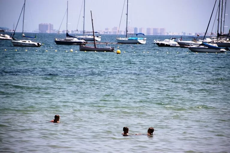
Mar Menor north
San Pedro del Pinatar, the salt flats and the lagoon beaches, just past Pilar de la Horadada.
Mar Menor north guide →Sources and freshness
Checked 9 November 2026. Valencian regional tourism (Comunitat Valenciana) on the towns of Santa Pola, Elche, Guardamar del Segura, Torrevieja, Orihuela, Pilar de la Horadada, Rojales and San Fulgencio; the natural parks of Salinas de Santa Pola, La Mata and Torrevieja and Sierra de Escalona, Clot de Galvany and the Palmeral of Elche; monuments (Santa Pola castle, Portus Illicitanus, Atalayola, La Fonteta, Rábita Califal, Guardamar castle, Rojales waterworks, Orihuela old town, Torre Horadada); the Vía Verde de Torrevieja; and beach pages for Gran Playa, Tamarit, Cabo de l’Aljub, Arenales del Sol, El Carabassí, La Marina, El Moncayo, Els Vivers, La Mata, Los Locos, El Cura, Punta Prima, Cala Bosque, La Caleta, Dehesa de Campoamor, Mil Palmeras and Río. Spain.info on Santa Pola, Torrevieja, Elche, Guardamar and Orihuela. Map data, airports and straight-line distances: OpenStreetMap (ODbL). The costablanca.org portal and the town hall sites could not be reached, so bus timetables, boat times and lifeguard dates are not given. Photos from Wikimedia Commons: Cala de la Higuera, Santa Pola harbour and El Cura promenade by Ximonic (Simo Räsänen) (CC BY-SA 4.0); Tamarit tower, Guardamar dunes, Els Vivers and the Torrevieja lagoon by Ryan Hodnett (CC BY-SA 4.0); the Segura at Guardamar by RegisoleII (CC BY-SA 4.0); Elche basilica and Tabarca by chisloup (CC BY 3.0); Arenales del Sol by Zeisterre (CC BY-SA 3.0); Mil Palmeras by Noecampat (public domain); Xàbia by Concepcion AMAT ORTA… (CC BY 3.0); Altea by diego_cue (CC BY-SA 3.0); Alicante port by Jesús Alenda (CC BY 2.0); Los Alcázares by Fanny S Forsdik (CC BY-SA 3.0).